Regional overview
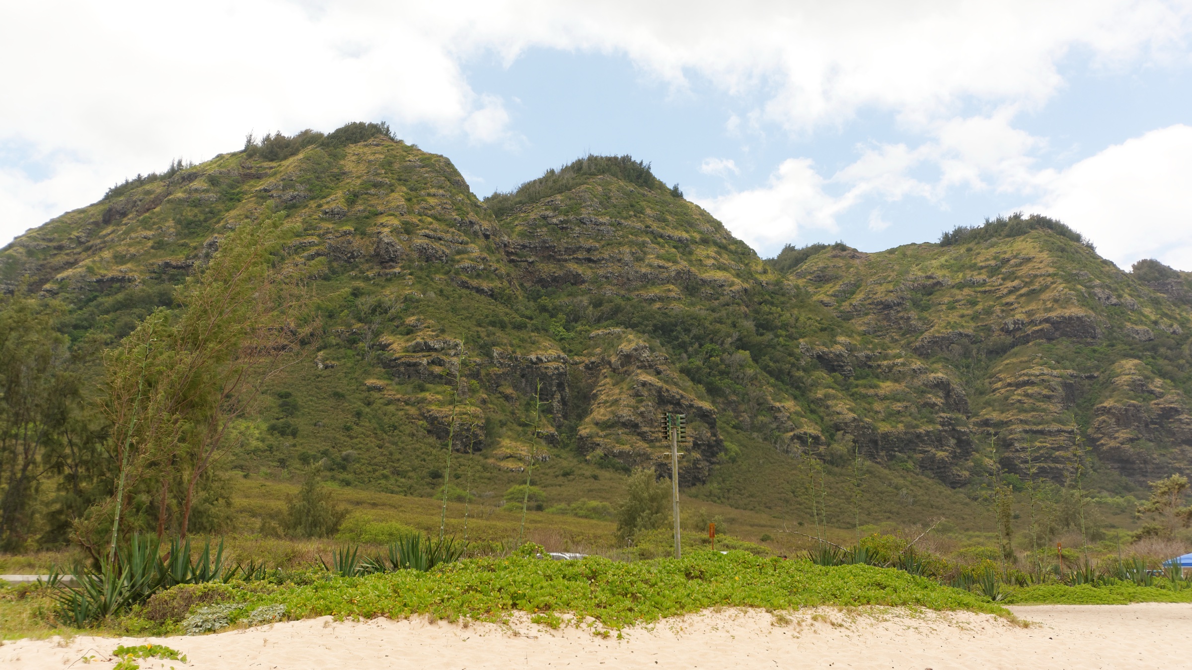
The Waiʻanae Range forms the western half of Oʻahu and is the eroded remnant of the older of the island’s two shield volcanoes. The oldest exposed lavas date to roughly 3.9 million years ago; the main shield-building phase ended around 3.2 million years ago, with the last documented eruptions near 2.5 million years ago — several hundred thousand years before the Koʻolau volcano to the east ceased activity. The original summit centre lay above what is now Lualualei Valley. The western flank has been catastrophically eroded, while the eastern flank retains more of the shield profile. Mount Kaʻala at 1,227 m (4,025 ft) is the highest point on Oʻahu, capped by a small perched summit bog.
Climate is strongly leeward. Northeast trades unload most of their moisture on the Koʻolau, leaving the Waiʻanae coast — Nānākuli, Māʻili, Waiʻanae town, Mākaha — among the driest inhabited parts of the island, with coastal rainfall commonly under 500 mm/yr. Windward-facing upper slopes and the Kaʻala summit plateau catch enough orographic rain to sustain montane wet forest and bog above roughly 900 m. Between coast and summit lies a narrow band of native Hawaiian dryland and mesic forest — one of the rarest ecosystems in the archipelago; less than about 10 percent of the state’s original dryland forest survives, and much of what remains in the Waiʻanae range persists in fenced enclosures managed against feral ungulates and invasive grasses (guinea grass, fountain grass, koa haole).
Public access is administered by a patchwork of agencies. The Nā Ala Hele Trail & Access Program (DOFAW, DLNR) is the primary manager of most inland forest-reserve trails; the Kaʻena Point Natural Area Reserve at the tip includes the first US predator-proof fence, built in 2011 by USFWS partners to protect nesting Laysan albatross, wedge-tailed shearwaters, native dune plants and hauled-out Hawaiian monk seals; the Kaʻena Point State Park operates a 2026 vehicle “Gold decal” scheme for the Mokuleʻia dirt-road section; and the Kuaokalā Access Road passes through the Air Force Kaʻena Point Satellite Tracking Station and needs a DOFAW day-use permit obtained in advance. Hunting is active in several game-management units in Waiʻanae Kai, Mākaha, Kuaokalā and Mokuleʻia forest reserves — hunt-day and seasonal closures are posted through Nā Ala Hele. Trailhead vehicle break-ins are a well-documented recurring risk on the Waiʻanae side; leave nothing in the car.
Selection rationale
Five routes are presented to cover the range’s defining contrasts. Kaʻena Point Trail is the flat coastal walk to Oʻahu’s westernmost tip, with the fenced albatross colony and monk-seal beaches. The Kealia Trail is the classic CCC-era switchback climb from Mokuleʻia to a north-side ridge. The Kuaokalā Trail is the only legal viewpoint over Mākua Valley, on a permitted ridge loop. The Mount Kaʻala Trail is the strenuous summit day — Oʻahu’s high point and one of the state’s rarest sphagnum bogs. The Puʻu O Hulu “Pink Pillbox” is the short leeward-coast pillbox climb. Together they span a flat coastal walk, a north-side switchback classic, a permitted interior ridge, a summit day and a short coastal pillbox.
Summary
| # | Hike | Trailhead | Route type | Distance | Gain | Max elevation | Difficulty |
|---|---|---|---|---|---|---|---|
| 1 | Kaʻena Point Trail (Mokuleʻia) | End of Farrington Hwy (Rte 930), Mokuleʻia gate | Out-and-back coastal | ~8 km / 5 mi | ~60 m / 200 ft | ~30 m / 100 ft | Easy underfoot; hot and waterless |
| 2 | Kealia Trail | Behind Kawaihāpai Airfield, Mokuleʻia | Out-and-back | ~4.8 km / 3 mi | ~300 m / 1,000 ft | ~460 m / 1,500 ft | Moderate |
| 3 | Kuaokalā Trail | Kaʻena Point Tracking Station (permit) | Loop | ~6.9 km / 4.3 mi | ~330 m / 1,080 ft | ~640 m / 2,100 ft | Moderate |
| 4 | Mount Kaʻala Trail (Waiʻanae Kai) | End of Waiʻanae Valley Road | Out-and-back | ~11.5 km / 7.1 mi | ~1,040 m / 3,400 ft | 1,227 m / 4,025 ft | Very strenuous |
| 5 | Puʻu O Hulu Kai (Pink Pillbox) | Roadside, Farrington Hwy, Māʻili | Out-and-back | 2.4 km / 1.5 mi | ~215 m / 700 ft | ~260 m / 850 ft | Short but steep |
1. Kaʻena Point Trail (Mokuleʻia section)
Snapshot
Itinerary
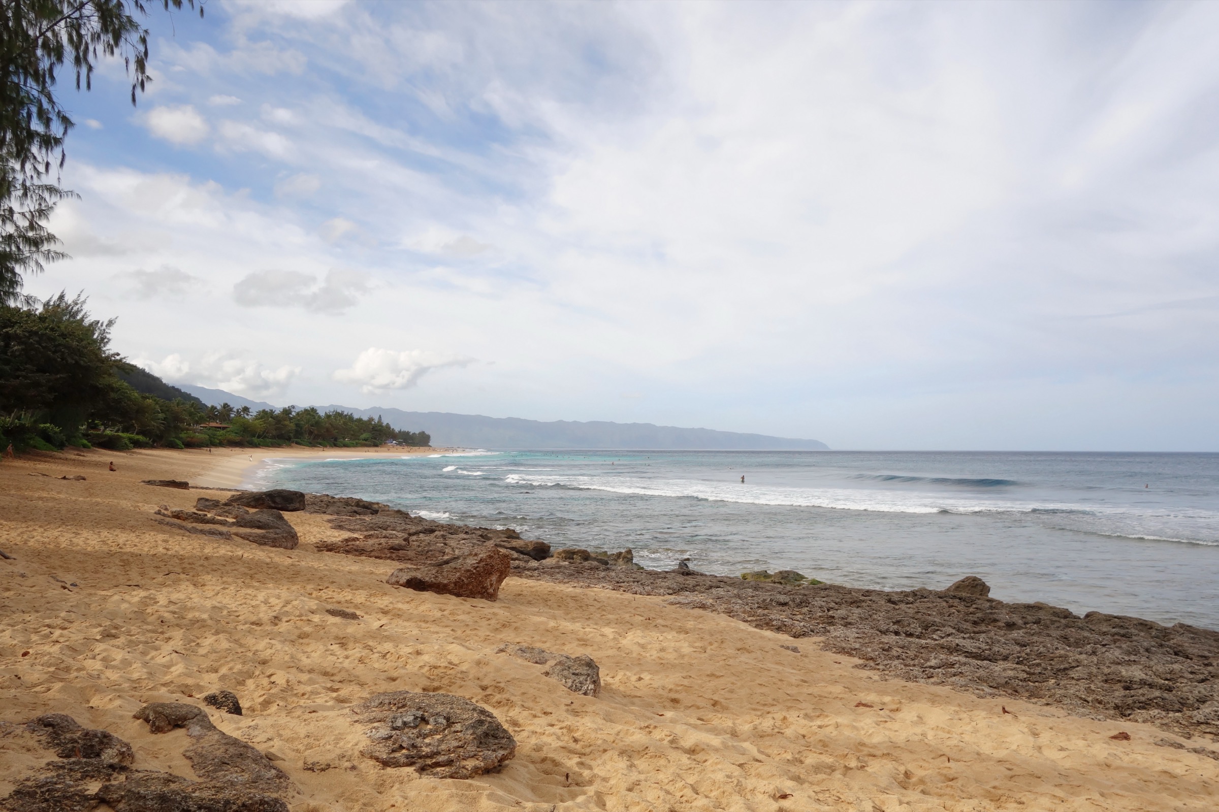
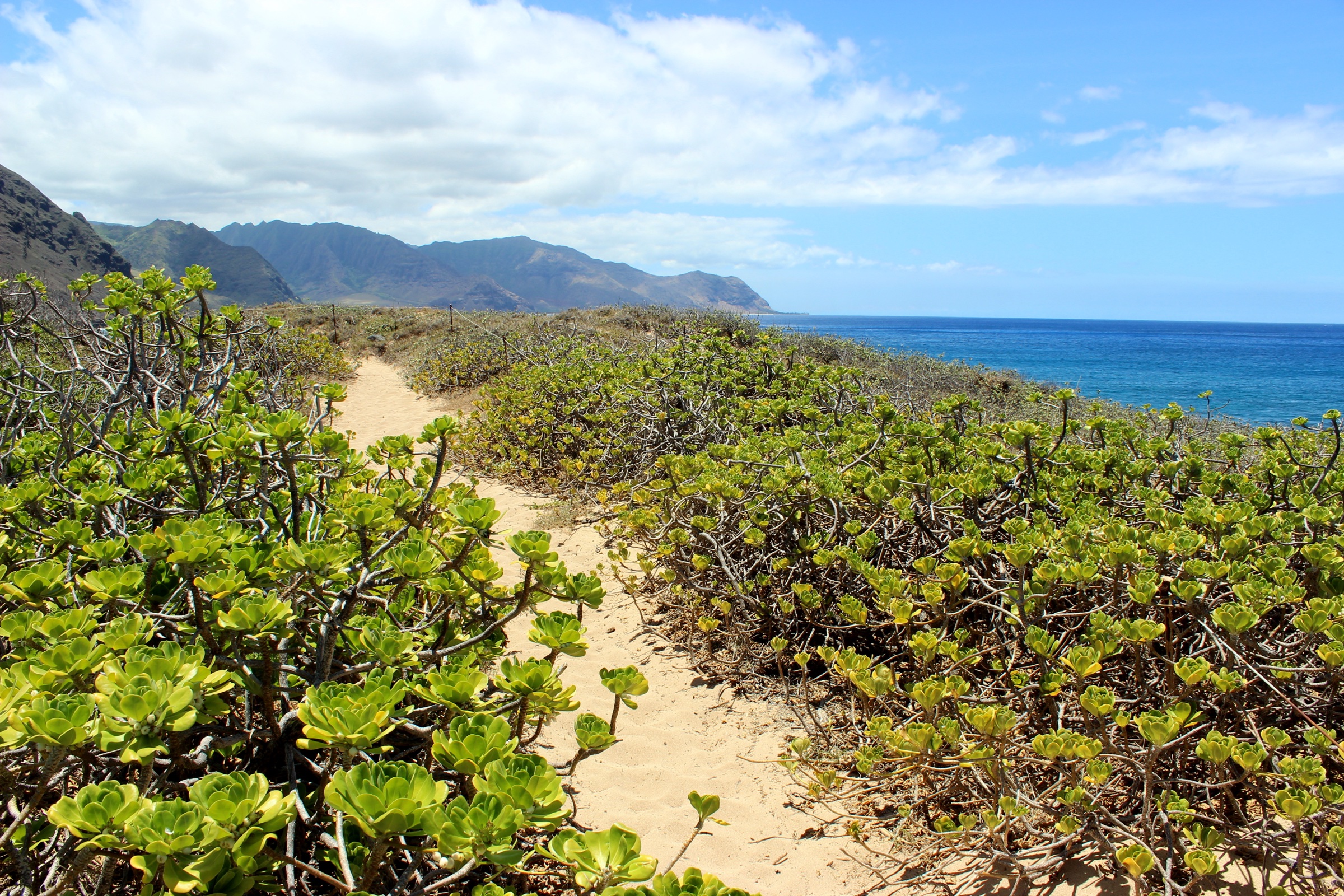
The route follows the alignment of the former Oʻahu Railway and Land Co. line — built in 1899 and destroyed by the 1946 tsunami — west along a rugged basalt coast with tide pools and small blowholes. It passes several sandy coves before rounding the northwest corner into the reserve. Hikers enter through a self-closing gate in the predator-proof fence installed in 2011 by USFWS partners — the first such fence in the United States — protecting nesting Laysan albatross, wedge-tailed shearwaters and native dune plants; Hawaiian monk seals routinely haul out on the beaches. A short loop inside the fence reaches the true point and the light beacon before returning by the same route. The alternative south approach from Yokohama Bay (Keawaʻula) has been affected by 2026 storm-damage road repairs — confirm status before travel.
Why it is essential
Kaʻena Point is the only walk in the state that combines a hauled-out monk-seal beach, a fenced albatross colony and the westernmost tip of Oʻahu in a single flat coastal day.
Equipment
- 3 L water per person
- Sun hat and reef-safe (mineral-based) sunscreen
- Trainers or light boots
- Wind shell
Hazards and notes
- No shade, no water, no toilets on the Mokuleʻia approach
- Large winter surf on the north-facing rocks — do not descend to the water
- Unmarked cliff edges near the light
- NOAA wildlife rules — keep 15 m from monk seals on land or in the water; no swimming with spinner dolphins within 46 m
- No dogs, drones, camping or fires in the reserve; park hours 06:00–19:00
- Trailhead break-ins reported at both the Mokuleʻia and Yokohama Bay lots — leave nothing visible
2. Kealia Trail
Snapshot
Itinerary
From the airfield the trail immediately begins the CCC-built (1934) alignment of about 19 switchbacks up the pali face. Views widen with each turn over Mokuleʻia, Kaʻena Point, Kaiaka Bay and the North Shore break at Haleʻiwa, with gliders from the airfield circling below. The switchbacks end at a broad flat where the Kealia Shelter sits under ironwoods. Beyond the shelter the trail joins a jeep track that climbs gently through Mokuleʻia Forest Reserve to overlooks above Mākua Valley and connects to the Kuaokalā Trail for the longer loop.
Why it is essential
The Kealia Trail is the classic CCC-era switchback climb from sea level to a Waiʻanae ridge, with the best overview of Oʻahu’s North Shore from anywhere in the range.
Equipment
- 2–3 L water
- Sun hat and high-SPF sunscreen
- Sturdy trainers or light boots
- Trekking poles help on the descent
Hazards and notes
- Rockfall risk on the switchback face after rain
- Loose gravel on the descent
- Heat and no water — the south-facing switchbacks bake in summer
- Occasional hunting closures in Mokuleʻia Forest Reserve — check Nā Ala Hele
- Weekend glider traffic overhead
- Trailhead vehicle break-ins reported
3. Kuaokalā Trail
Snapshot
Itinerary
From the tracking-station gate the trail climbs steadily through ironwoods and native-forest remnants along the Kuaokalā ridge, opening onto a succession of viewpoints over Mākua Valley — a broad amphitheatre backed by the range’s most dramatic western cliffs. Native ʻōhiʻa, koa and dryland species persist in fenced restoration units. The route rounds the head of Mākua and returns on the graded Kuaokalā Access Road through Mokuleʻia Forest Reserve.
Why it is essential
Kuaokalā is the one legal viewpoint over Mākua Valley — a former military training area closed to public entry — reached along a native-forest ridge unlike anywhere else on Oʻahu.
Equipment
- 3 L water
- Boots or trail runners
- Sun protection
- Printed DOFAW permit and photo ID
- Trekking poles
Hazards and notes
- DOFAW day-use permit required to drive through the Air Force gate — apply via dlnr.hawaii.gov/dofaw/permits
- Sunrise-to-sunset access only; permit must be visible on the dashboard
- Steep drop-offs at Mākua overlooks
- No water on trail
- Occasional hunter activity in the Forest Reserve
- Trailhead break-ins reported at the Yokohama Bay lower gate if using shuttle logistics
4. Mount Kaʻala Trail (Waiʻanae Kai)
Snapshot
Itinerary
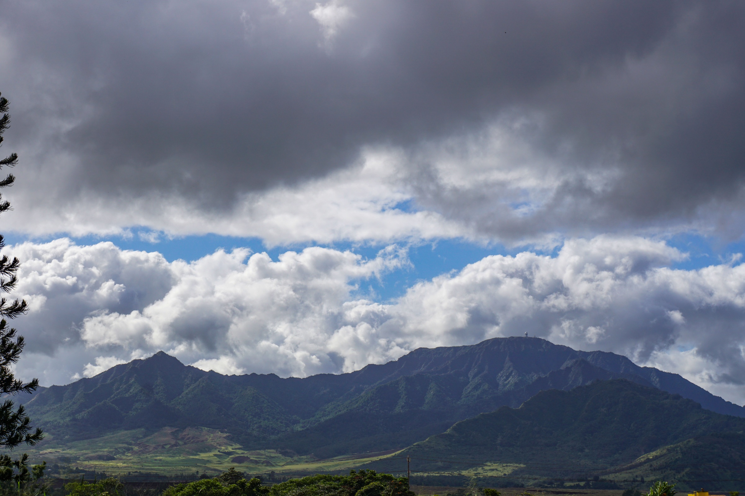
The trail leaves the forest-reserve access road at a graded start, then climbs a steep gully into cloud forest. Above roughly 600 m the route becomes a scramble on rooted, muddy pitches with fixed ropes and short ladders through native mesic and montane wet forest. Around 900 m the gradient eases and the path emerges onto the Kaʻala summit bog — one of the highest-elevation Hawaiian bogs on Oʻahu — where a state-maintained boardwalk protects the fragile ʻōhiʻa-dominated wetland. The boardwalk crosses to the far edge of the plateau near the FAA / Air Force tracking-station perimeter (the station itself is closed to the public). Stay on the boardwalk throughout.
Why it is essential
Mount Kaʻala is the only legal footpath to the summit of the highest point on Oʻahu, and one of the very few public accesses to a summit sphagnum bog on the island.
Equipment
- Sturdy boots with aggressive tread
- Gloves for the fixed ropes
- 3 L water
- Rain shell and warm layer
- First aid
- Headlamp for a late descent
Hazards and notes
- Very slippery basalt when wet — most days
- Fatal cliffs off the summit rim if the boardwalk is left in mist
- Leptospirosis risk — cover cuts and abrasions
- Rapid weather changes on the summit plateau
- Hunting is authorised in the Waiʻanae Kai Forest Reserve — check DOFAW closures
- Trailhead vehicle break-ins are a documented recurring risk — take nothing
5. Puʻu O Hulu Kai — the “Pink Pillbox”
Snapshot
Itinerary
The trail starts as a scramble straight up a red-earth spine covered in kiawe and buffelgrass. It gains a narrow ridge that opens onto the Waiʻanae coast, then crests at a series of five WWII-era concrete observation pillboxes strung along the summit. The third pillbox, painted bright pink in support of breast-cancer awareness, is the most photographed. The ridge continues north-east with progressively narrower footing toward Puʻu Heleakalā for those wanting more distance.
Why it is essential
The Pink Pillbox is the signature short leeward-coast pillbox walk, with the widest low-effort panorama of the Waiʻanae coastline from Kaʻena to Nānākuli.
Equipment
- Sturdy trainers
- 1.5 L water
- Sun protection
- Gloves optional for the steepest pitch
Hazards and notes
- Loose scree on the descent — the crux for most walkers
- No shade, no water — summer heat is brutal
- Unstable pillbox roofs — do not stand on the top slabs
- Trailhead vehicle break-ins are frequently reported along this stretch of Farrington Highway
- Respect local residents who share the trailhead
Further reading
| Resource | Link |
|---|---|
| DLNR — Nā Ala Hele: Oʻahu trails | dlnr.hawaii.gov/recreation/nah/oahu |
| Nā Ala Hele — trail search (SPA) | hawaiitrails.ehawaii.gov |
| DLNR — Kaʻena Point State Park | dlnr.hawaii.gov/dsp/parks/oahu/kaena-point-state-park |
| DLNR — Kaʻena Point Natural Area Reserve | dlnr.hawaii.gov/ecosystems/nars/oahu |
| DOFAW — permits (Kuaokalā day-use) | dlnr.hawaii.gov/dofaw/permits |
| DLNR — Oʻahu Forest Reserves | dlnr.hawaii.gov/forestry/frs/reserves/oahu |
| Hawaiʻi Open Data — Nā Ala Hele trail geometries | opendata.hawaii.gov |
| Hawaiʻi Department of Health — leptospirosis | health.hawaii.gov |
| NOAA — Hawaiian monk seal viewing guidelines | fisheries.noaa.gov |
| USFWS — Kaʻena Point ecosystem restoration | fws.gov |
| TheBus (Oʻahu public transport) | thebus.org |
| Wikimedia Commons — Waiʻanae Range | commons.wikimedia.org |