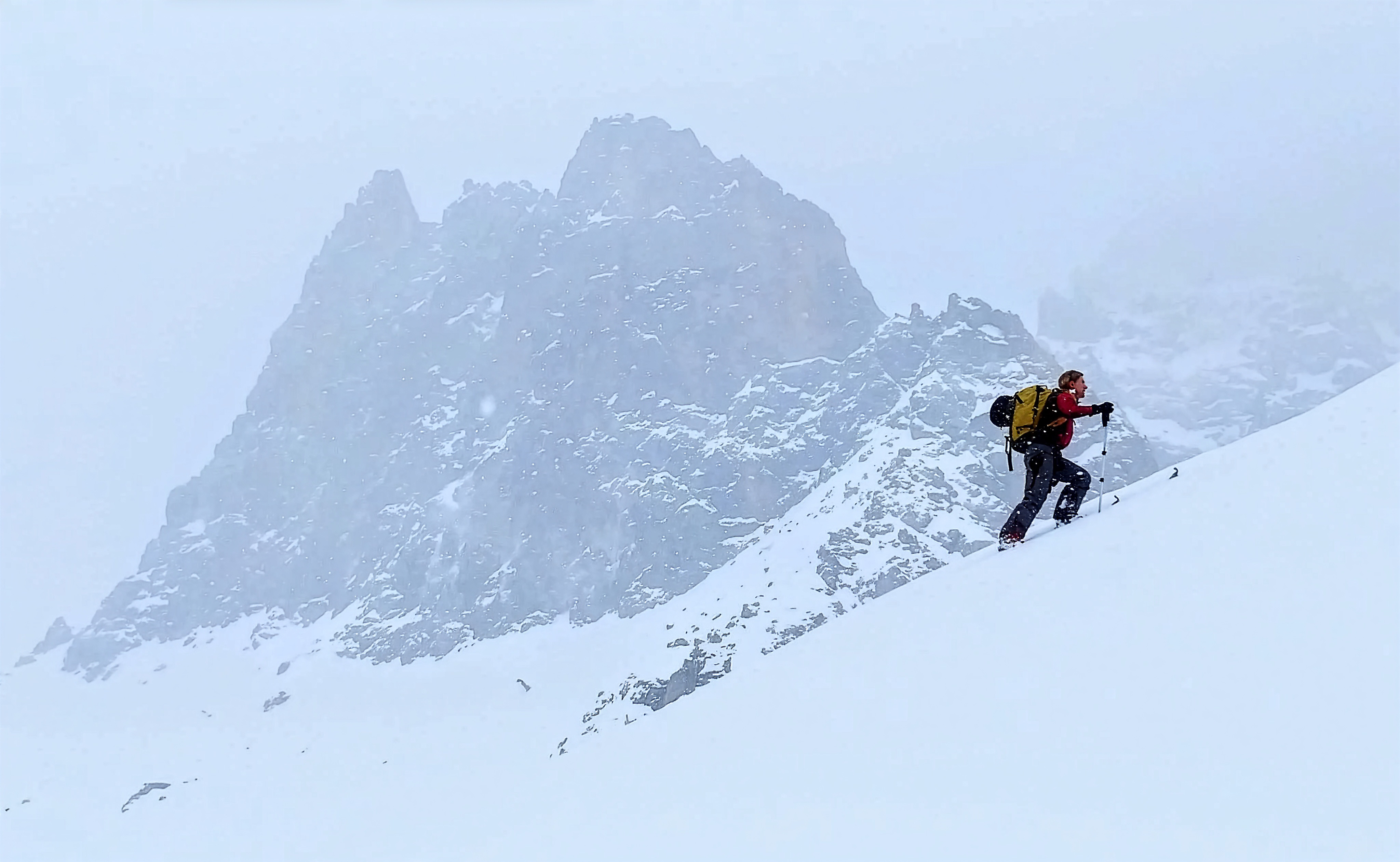
Terrain insights.
Snow safety.
All the maps you need.
Everywhere you go.
Features
Offline Maps
Going into the backcountry? No problem. You can take everything with you: that's slope overlays, maps, 3D terrain, satellite imagery. No limits.
3D Terrain
Explore mountains in photorealistic 3D. Tilt, rotate, and zoom through high-resolution terrain.
Slope Analysis
Colour-coded slope angle overlays. Identify avalanche terrain and plan safer lines at a glance.
Route Planning
Draw routes. Elevation profiles, distance, and shareable plans for your crew.
Outing Tracker
Record your outings and review them afterwards. Track your progress over time.
Route Database
359,000 routes, increasing all the time.
Ready to explore?
The Storm web app is free. Open it now and start planning your next adventure.
Launch