Regional overview
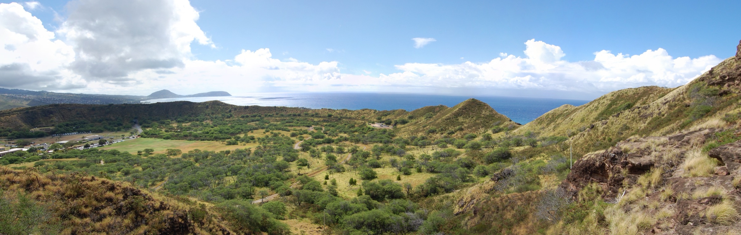
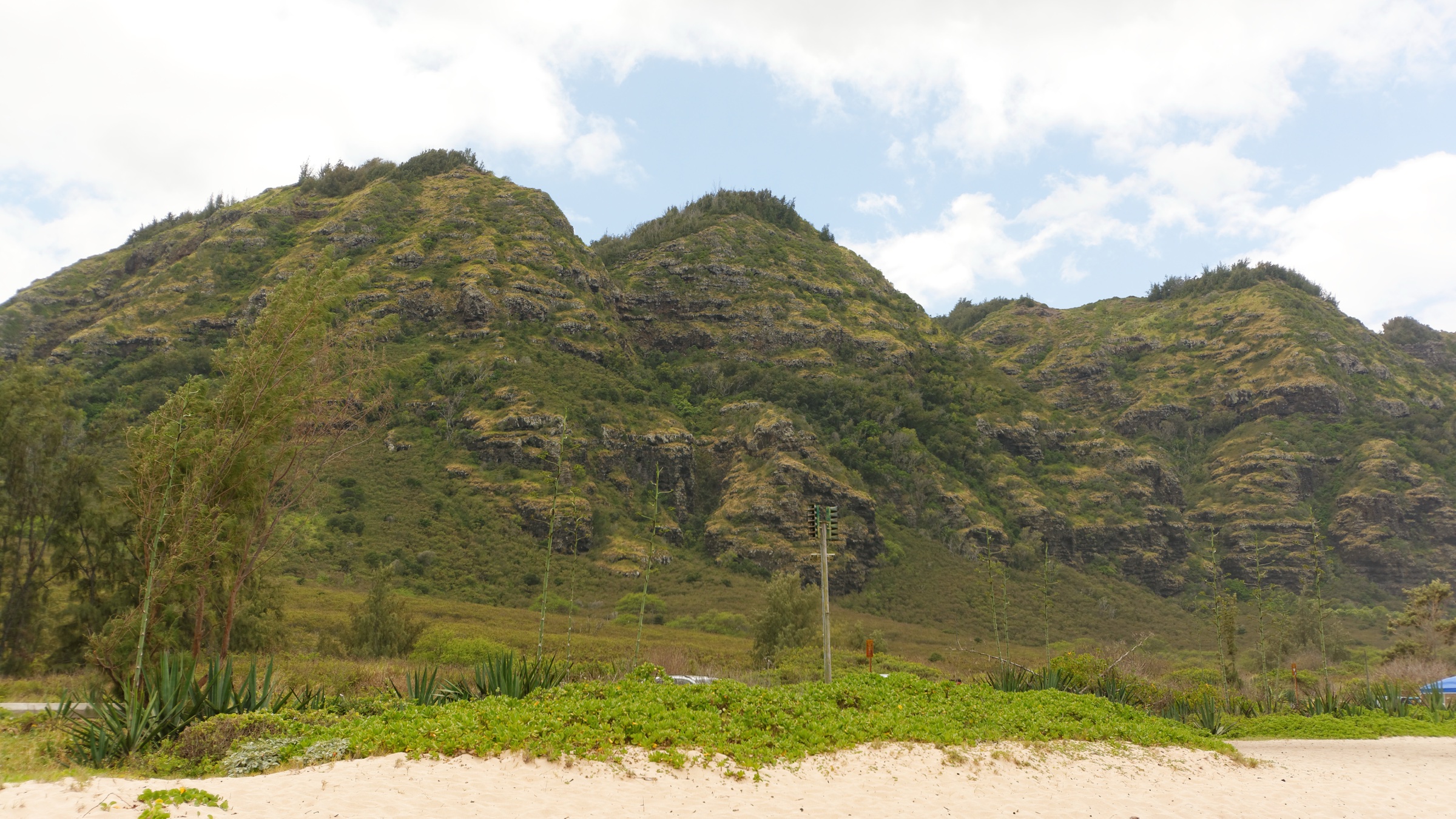
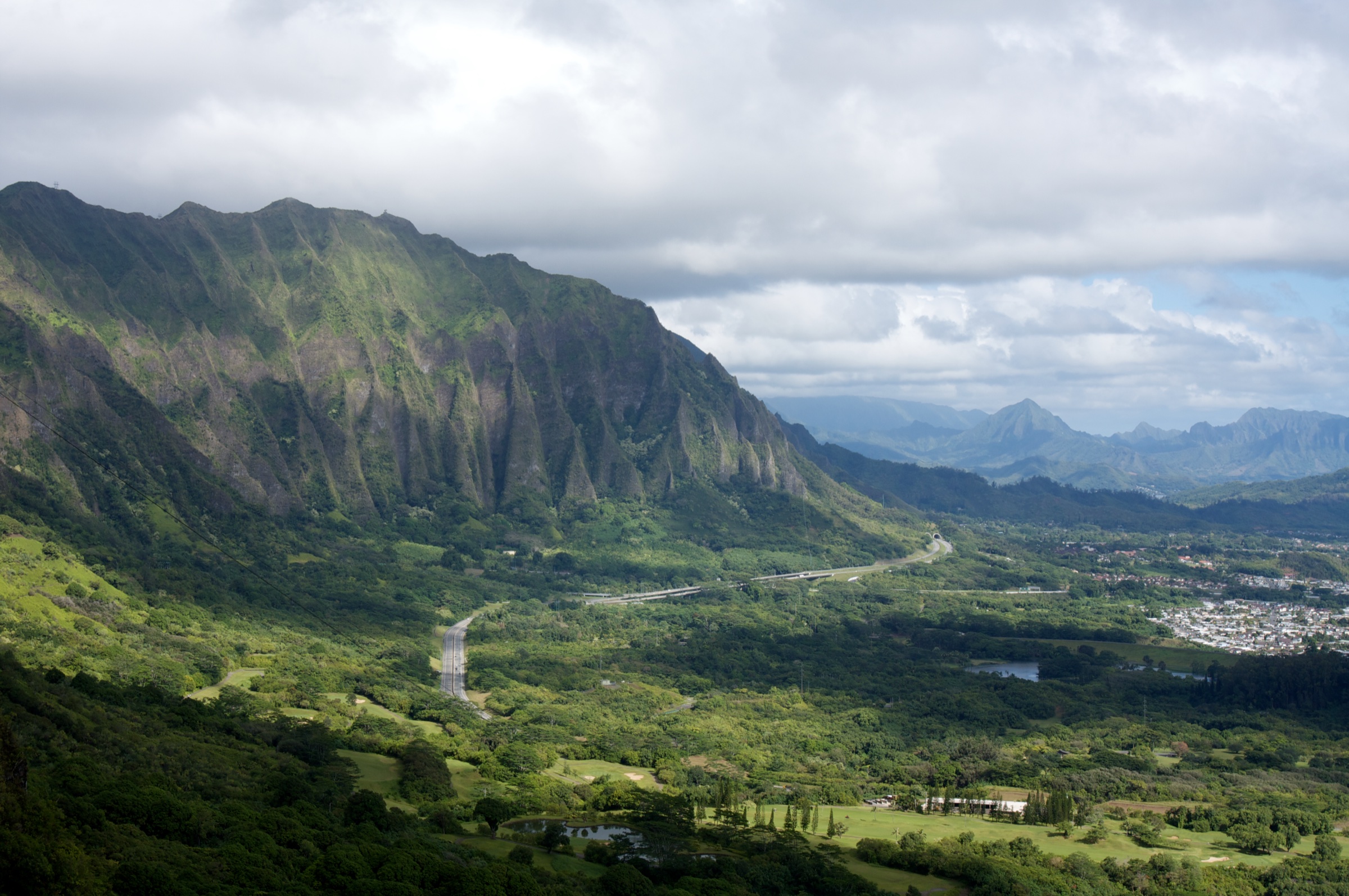
The Koʻolau Range is the deeply eroded remnant of the eastern shield volcano that built the windward half of Oʻahu. Activity began on the seafloor about 2.5 million years ago and the volcano became dormant around 1.7 million years ago; a prehistoric flank collapse tore away much of the eastern side and scattered debris across the ocean floor to the northeast, leaving the near-vertical windward escarpment — the pali — that dominates the island’s east side today. Kāneʻohe Bay occupies what remains of the summit caldera. The range runs roughly 60 km from Kāhuku in the north to Makapuʻu in the southeast, with Kōnāhuanui I at 960 m (3,150 ft) the highest point, immediately above the Nuʻuanu Pali. The range was designated a National Natural Landmark in 1972.
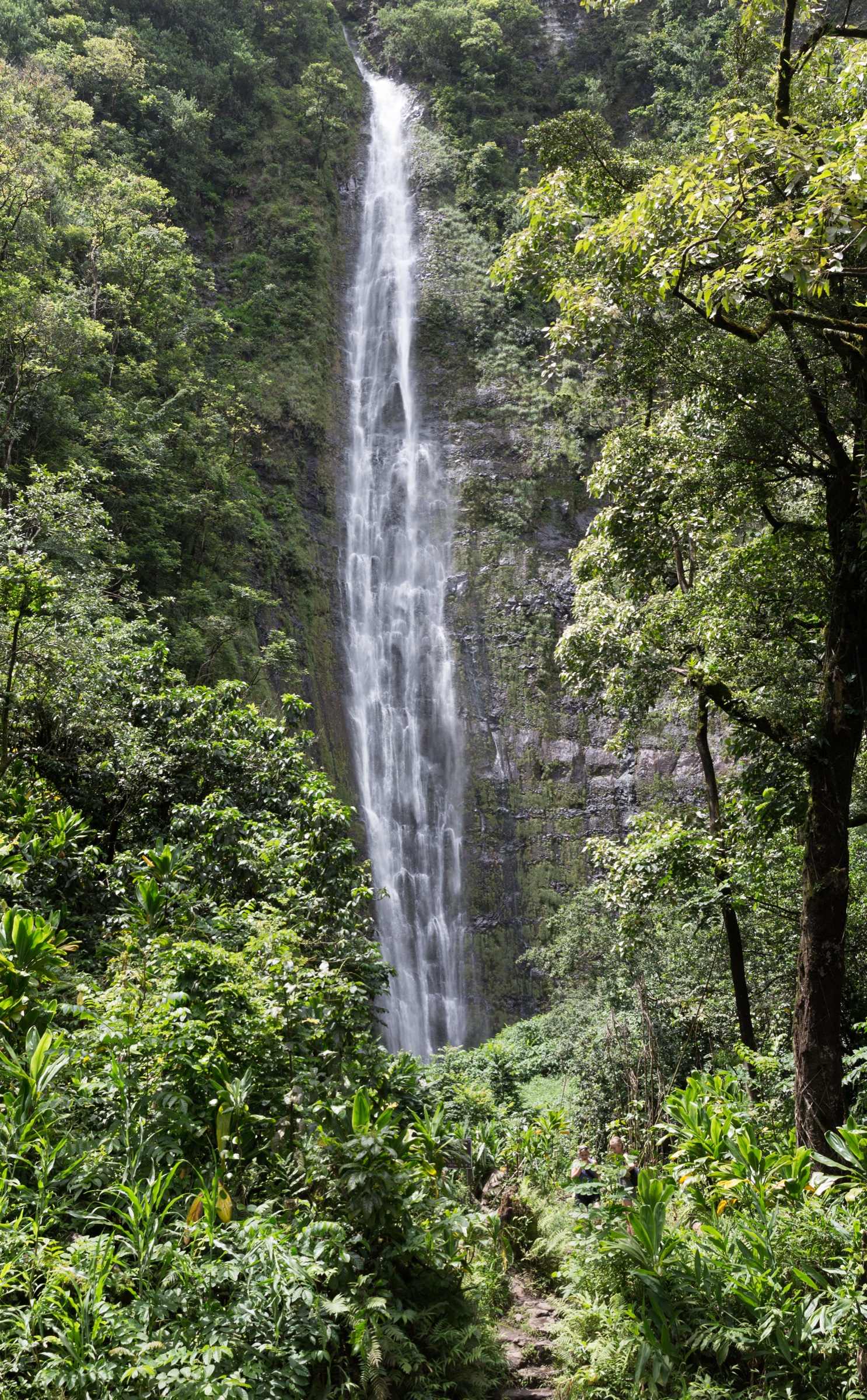
Trade winds unload their moisture on the windward slopes, feeding continuous streams from Kualoa to Maunawili and creating rainforest at elevations as low as 300 m. Leeward valleys — Kuliʻouʻou, ʻAiea, Hālawa — are drier, dominated by introduced ironwood, eucalyptus and Cook / Norfolk pines planted in the CCC-era reforestation of the 1920s–30s. State trails are administered by the Nā Ala Hele Trail & Access Program within DLNR’s Division of Forestry & Wildlife (DOFAW); state parks — Kaiwi State Scenic Shoreline for Makapuʻu and Keaīwa Heiau State Recreation Area for ʻAiea Loop — are administered by the Division of State Parks.
Currency notes (July 2026): two heavily photographed routes are effectively out of the essential-day-hike catalogue. Haʻikū Stairs (Stairway to Heaven) has been fenced, monitored and formally closed while the City & County of Honolulu’s 2024 removal contract is litigated — access is illegal. The direct Maunawili Falls Trail from Kailua has been closed since 8 July 2021 for cultural-site protection and trail rerouting, with no confirmed 2026 reopening; the standard legal approach is now the Maunawili Demonstration Trail from the Pali. Olomana Three Peaks is deliberately excluded — the K2 and K3 pitches beyond the first summit account for a documented fatality corridor and the route sits outside the scope of a “publicly signposted essential day-hike” list.
Selection rationale
Five routes are presented to give balanced Koʻolau coverage without duplicating trailheads or terrain. Kuliʻouʻou Ridge is the signature summit-view ridge on the leeward south end. Makapuʻu Point Lighthouse Trail is the paved coastal walk at the southeast terminus, and Oʻahu’s best short humpback-viewing hike. The Maunawili Demonstration Trail is the long low-elevation windward rainforest contour, and the current legal approach to Maunawili Falls. Kaʻiwa Ridge (Lanikai Pillbox) is the classic short windward pillbox above Kailua Bay. Hauʻula Loop covers the northern windward Koʻolau — a distinct sub-region often missed by visitors staying south. Together they span an iconic ridge, a paved coastal walk, a long rainforest contour, a short exposed pillbox climb and a northern-belt loop.
Summary
| # | Hike | Trailhead | Route type | Distance | Gain | Max elevation | Difficulty |
|---|---|---|---|---|---|---|---|
| 1 | Kuliʻouʻou Ridge Trail | Kalaʻau Place, Kuliʻouʻou | Out-and-back | 7.7 km / 4.8 mi | ~498 m / 1,633 ft | ~634 m / 2,080 ft | Hard |
| 2 | Makapuʻu Point Lighthouse Trail | Kalanianaʻole Hwy lot, Kaiwi State Scenic Shoreline | Out-and-back | 3.2 km / 2.0 mi | ~150 m / 500 ft | ~195 m / 640 ft | Easy–moderate |
| 3 | Maunawili Demonstration Trail | Nuʻuanu Pali (HI-61 pull-out) | Point-to-point or partial out-and-back | ~16 km / 10 mi end-to-end | ~1,250 m / 4,094 ft cumulative | ~275 m / 900 ft | Moderate |
| 4 | Kaʻiwa Ridge Trail (Lanikai Pillbox) | Kaʻelepulu Drive, Lanikai | Out-and-back ridge | 2.5 km / 1.5 mi | ~180 m / 600 ft | ~184 m / 603 ft | Short–steep |
| 5 | Hauʻula Loop Trail | Maʻakua Rd, Hauʻula | Loop | 4.3 km / 2.7 mi | ~260 m / 850 ft | ~230 m / 750 ft | Moderate |
1. Kuliʻouʻou Ridge Trail
Snapshot
Itinerary
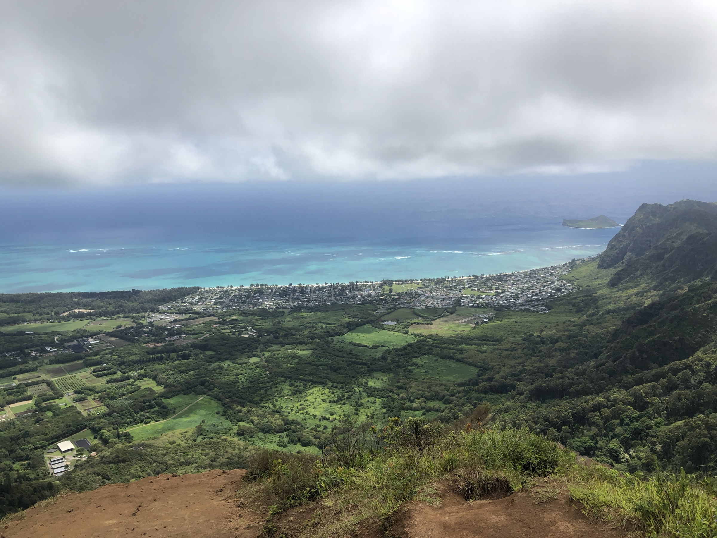
From the residential cul-de-sac the trail climbs steadily through dry mixed forest into the Kuliʻouʻou Forest Reserve, then transitions to ironwood and Cook-pine plantations on the ridge. A picnic shelter with a vault toilet marks roughly the halfway point; above it the trail becomes a long series of switchbacks up to the canopy edge. The final ~120 m of ascent runs on wooden steps and rooty ridge to the summit platform, opening to a windward panorama over Waimānalo, the Mokulua Islands and — on clear days — the Koʻolau spine as far as Kōnāhuanui.
Why it is essential
Kuliʻouʻou is the most-hiked summit-view ridge on the southern Koʻolau — a genuine crest-of-the-range panorama on a graded, way-marked Nā Ala Hele trail. It is the standard “ceiling” of the range for competent day-hikers, without the exposure of Olomana or the closure risk that keeps Haʻikū Stairs off the map.
Equipment
- Trail runners or light boots with grip
- 2 L water and food for a half-day
- Rain shell and sun protection
- Trekking poles for the muddy upper steps
Hazards and notes
- Slippery mud on the upper wooden steps after rain
- Narrow final metres near the summit with drops on the windward side
- Sun exposure on the lower switchbacks
- Hunting is authorised in season in the Forest Reserve — wear bright colours
- Leptospirosis risk in stream crossings if using the Valley Trail variant
2. Makapuʻu Point Lighthouse Trail
Snapshot
Itinerary
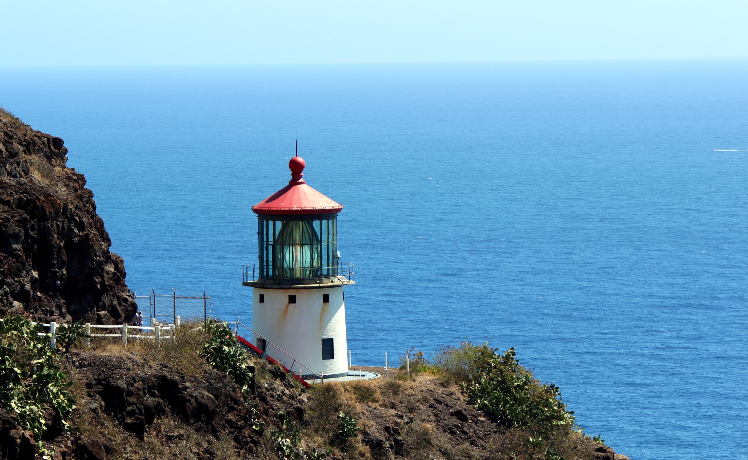
A gently graded former lighthouse-service road climbs the leeward flank of Makapuʻu Head from the highway parking area. Two upper overlooks give onto the 1909 Makapuʻu Lighthouse — an active US Coast Guard aid to navigation, not open to the public — with Mānana (Rabbit) and Kāohikaipu islets offshore and, in winter, humpback whales working the Kaiwi Channel. On clear days Molokaʻi rises across the water. The route returns by the same paved road.
Why it is essential
Makapuʻu is the single most accessible coastal walk in the Koʻolau — paved, family-suitable, and geographically the true southeast end of the range. It is also the best short humpback-viewing hike on Oʻahu.
Equipment
- Trainers or trail shoes
- Water (minimum 1 L)
- Sun hat and high-SPF sunscreen
- Binoculars in whale season
Hazards and notes
- Very exposed — no shade, high UV, strong trade winds
- Low walls and big drops at the paved upper overlooks
- Informal cliff paths to the tide pools are unsafe; do not descend
- Gate hours 07:00–18:45 April–Labor Day, 07:00–18:00 the rest of the year
3. Maunawili Demonstration Trail
Snapshot
Itinerary
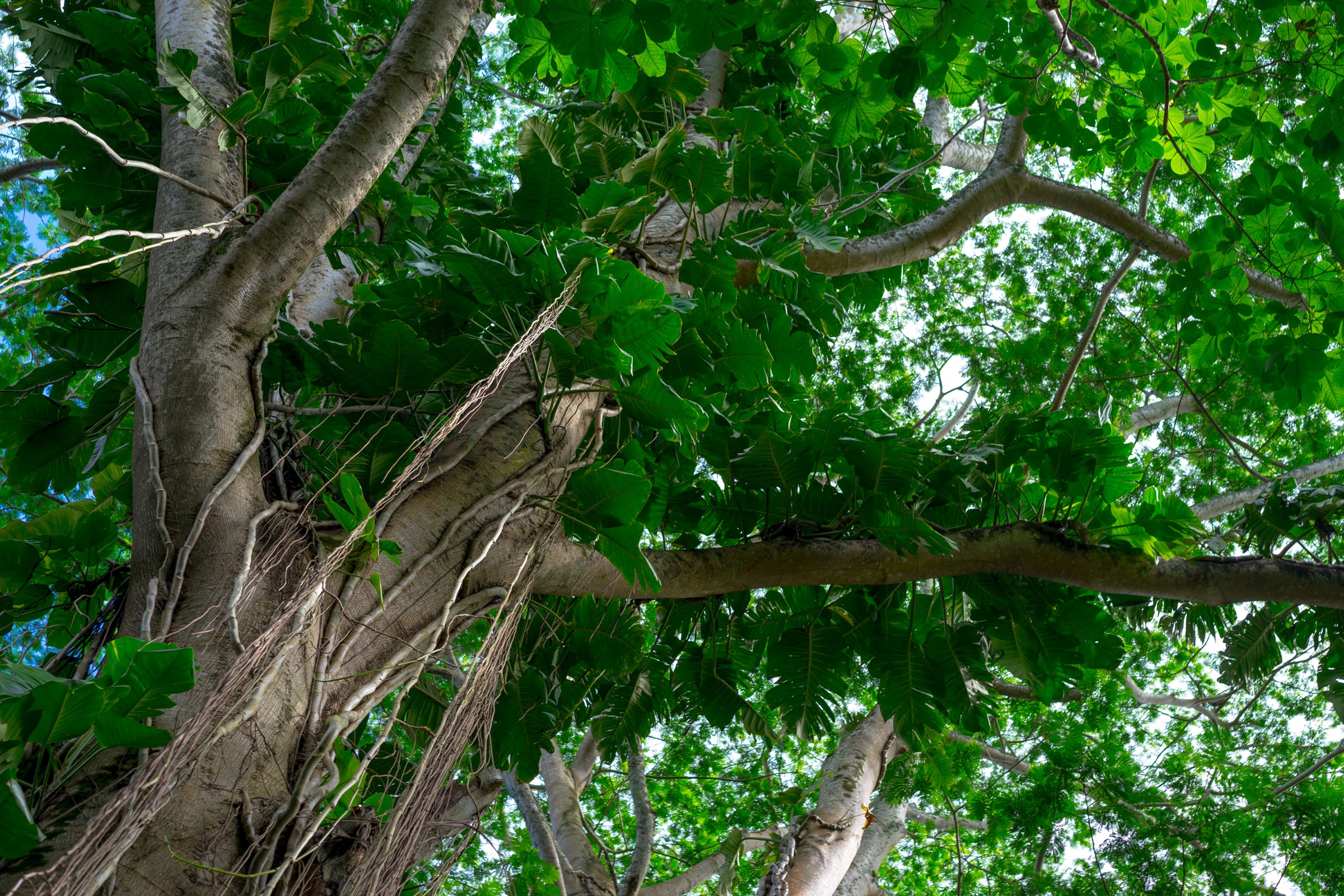
From the Pali pull-out the trail begins with a stone-set staircase, then contours east along the base of the Koʻolau pali through native and introduced rainforest — hau, kukui, guava, bamboo. It crosses a sequence of small drainages with plank bridges and short rope-assist descents. About 4 km in, a signed spur drops to the Maunawili Falls basin (the Kailua-side approach to the Falls remains closed as of 2026). Beyond the spur the trail continues gently east above Maunawili valley with framed views of Olomana, then descends to Waimānalo along the Maunawili access road.
Why it is essential
Built in 1991 by Nā Ala Hele and volunteer partners as a demonstration of state–community trail-building, this is the only long, legal, low-elevation contour on the windward Koʻolau — the classic rainforest walk of Oʻahu, and (while direct Maunawili Falls access is closed) the current legal route to the falls.
Equipment
- Waterproof boots or trail runners you don’t mind soaking
- 2–3 L water and food for a full day
- DEET insect repellent
- Trekking poles for the muddy descents
- Offline map and headlamp
Hazards and notes
- Sustained mud and exposed roots — slower travel than the distance suggests
- Flash-flood risk at stream crossings during and after heavy rain
- Leptospirosis risk — do not enter freshwater pools with open cuts and do not submerge the head
- Wild pigs are present; hunting is authorised in season
- Rope-assist descents near the Falls spur
4. Kaʻiwa Ridge Trail (Lanikai Pillbox)
Snapshot
Itinerary
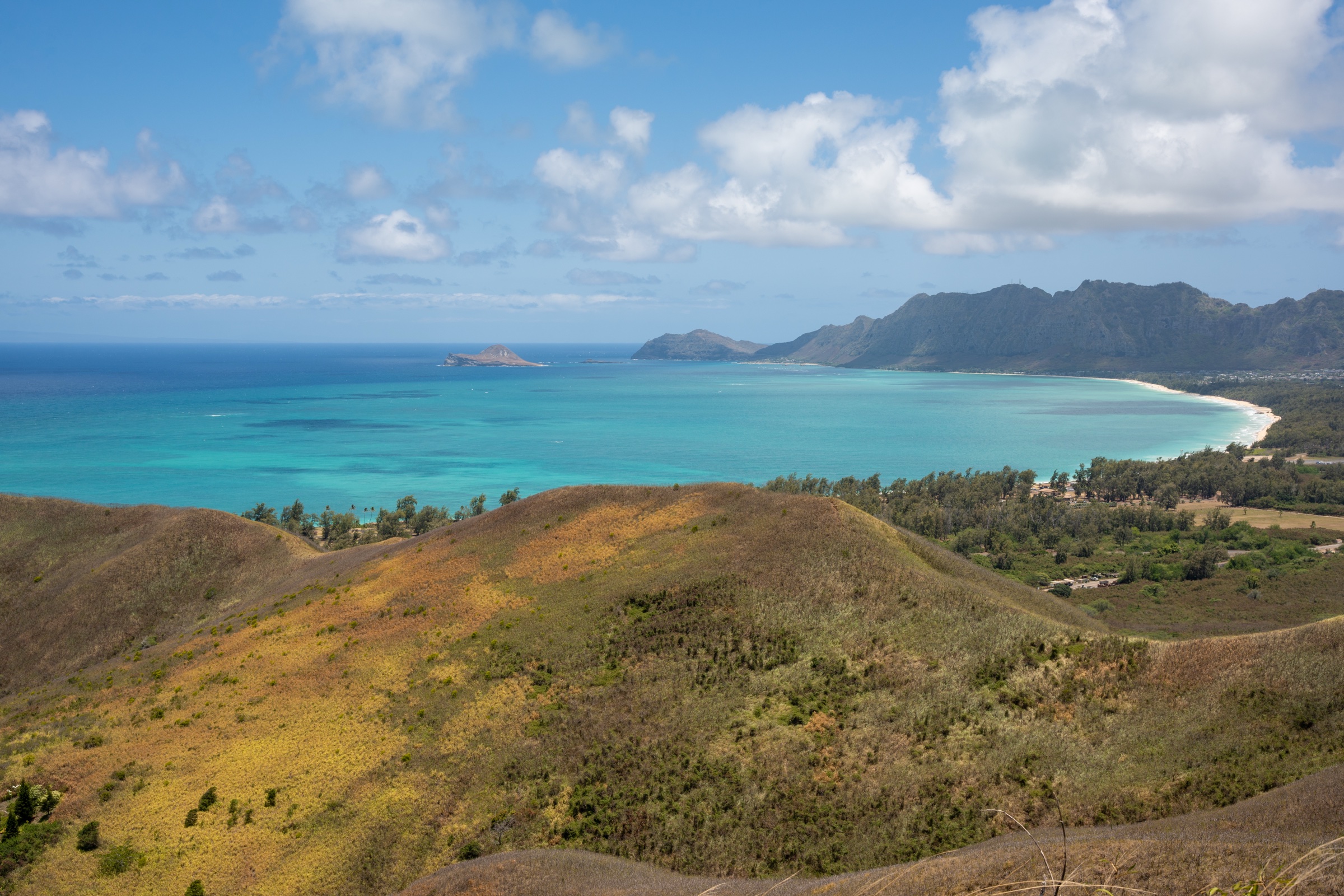
From the sidewalk opposite the golf course the trail climbs steeply through kiawe and lantana onto a narrow open ridge. Two WWII-era concrete observation bunkers — the “pillboxes” — sit at roughly 120 m and 170 m; both are routinely tagged with graffiti. The ridge continues north-east above the pillboxes toward the true high point at about 184 m. Most day-hikers turn around at the second bunker. Views span Kailua Bay, Lanikai Beach and the Mokulua Islands.
Why it is essential
Kaʻiwa Ridge is the signature windward-Oʻahu pillbox walk — short, dramatic, sunrise-famous, and geographically part of the windward Koʻolau spur that closes off Kailua Bay.
Equipment
- Trail runners with grip
- 1 L water
- Sun protection
- Headlamp for sunrise starts
Hazards and notes
- Loose gravel on the descent — the crux for most walkers
- Sun exposure, no shade, no water on trail
- Wasps in the kiawe
- Parking restrictions on ʻAʻalapapa / Mokulua Drives 10:00–16:00 (Honolulu ordinance, effective July 2025)
- Little Fire Ant treatment closures — DLNR has announced periodic closures for treatment; check DLNR press releases before travel
5. Hauʻula Loop Trail
Snapshot
Itinerary
From the trailhead the route enters the Hauʻula Forest Reserve, crosses Maʻakua Stream and climbs a series of graded switchbacks through introduced Cook / Norfolk-pine and ironwood plantations from the 1930s reforestation programme. The loop tops a ridge with intermittent gaps offering coastal views over Hauʻula, Punaluʻu and Kahana Bay, then descends the parallel ridge back to the stream. Native ʻōhiʻa lehua and uluhe fern reappear on the upper sections.
Why it is essential
Hauʻula Loop is the best short introduction to the northern windward Koʻolau — a distinct sub-region often missed by visitors staying south. It is a properly signposted Nā Ala Hele trail through the classic CCC-era pine plantation landscape, with genuine forest character and low crowding.
Equipment
- Boots or trail runners with grip
- 1.5 L water
- Insect repellent
- Rain jacket
Hazards and notes
- Muddy roots on the upper ridge
- Flash-flood risk on Maʻakua Stream after heavy rain — do not confuse with Maʻakua Gulch further up, which has been closed for years after a rockfall fatality
- Falling pine limbs after storms
- Hunting is authorised in the Forest Reserve — avoid Sundays and wear bright colours
Further reading
| Resource | Link |
|---|---|
| DLNR — Nā Ala Hele: Oʻahu trails | dlnr.hawaii.gov/recreation/nah/oahu |
| DLNR — Division of State Parks: Oʻahu | dlnr.hawaii.gov/dsp/parks/oahu |
| DLNR — Makapuʻu Point Lighthouse Trail | dlnr.hawaii.gov/dsp/hiking/oahu/makapuu-point-lighthouse-trail |
| DLNR — Kaiwi State Scenic Shoreline | dlnr.hawaii.gov/dsp/parks/oahu/kaiwi-state-scenic-shoreline |
| Nā Ala Hele — East Honolulu / Kuliʻouʻou PDF | Kuliʻouʻou map (PDF) |
| Nā Ala Hele — Maunawili trail system PDF | Maunawili map (PDF) |
| Nā Ala Hele — Hauʻula trail system PDF | Hauʻula map (PDF) |
| DLNR — Maunawili Falls closure notice (2021) | NR21-131 |
| DLNR — Little Fire Ant closure notice (2025) | NR25-68 |
| Hawaiʻi Open Data — Nā Ala Hele trail geometries | opendata.hawaii.gov |
| Hawaiʻi Department of Health — leptospirosis | health.hawaii.gov |
| TheBus (Oʻahu public transport) | thebus.org |
| Wikimedia Commons — Koʻolau Range | commons.wikimedia.org |