Regional overview
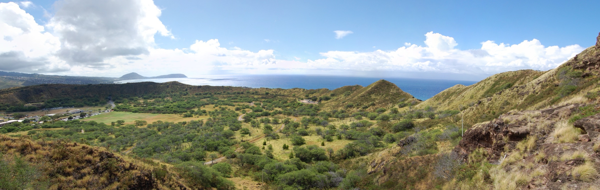
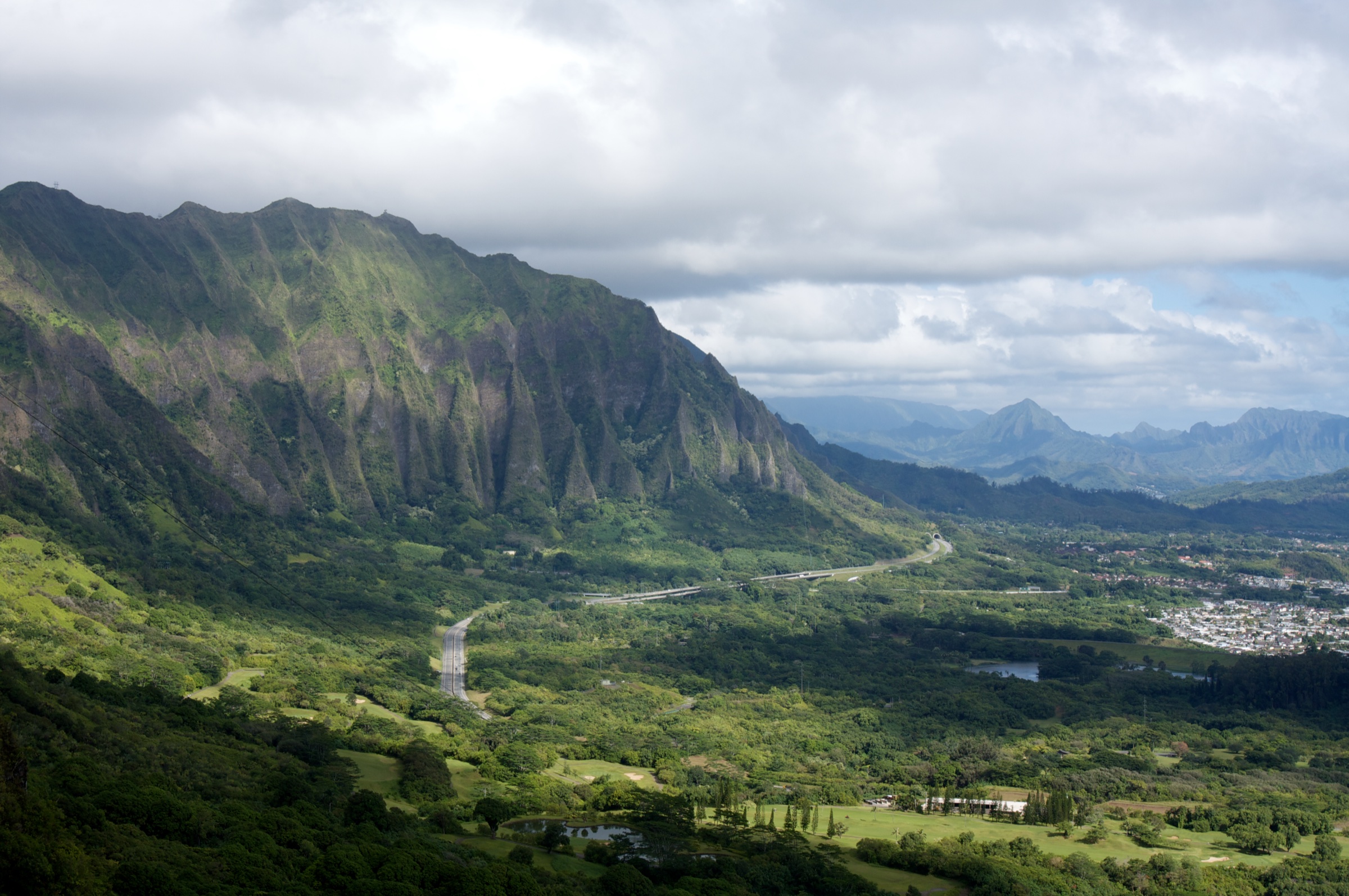
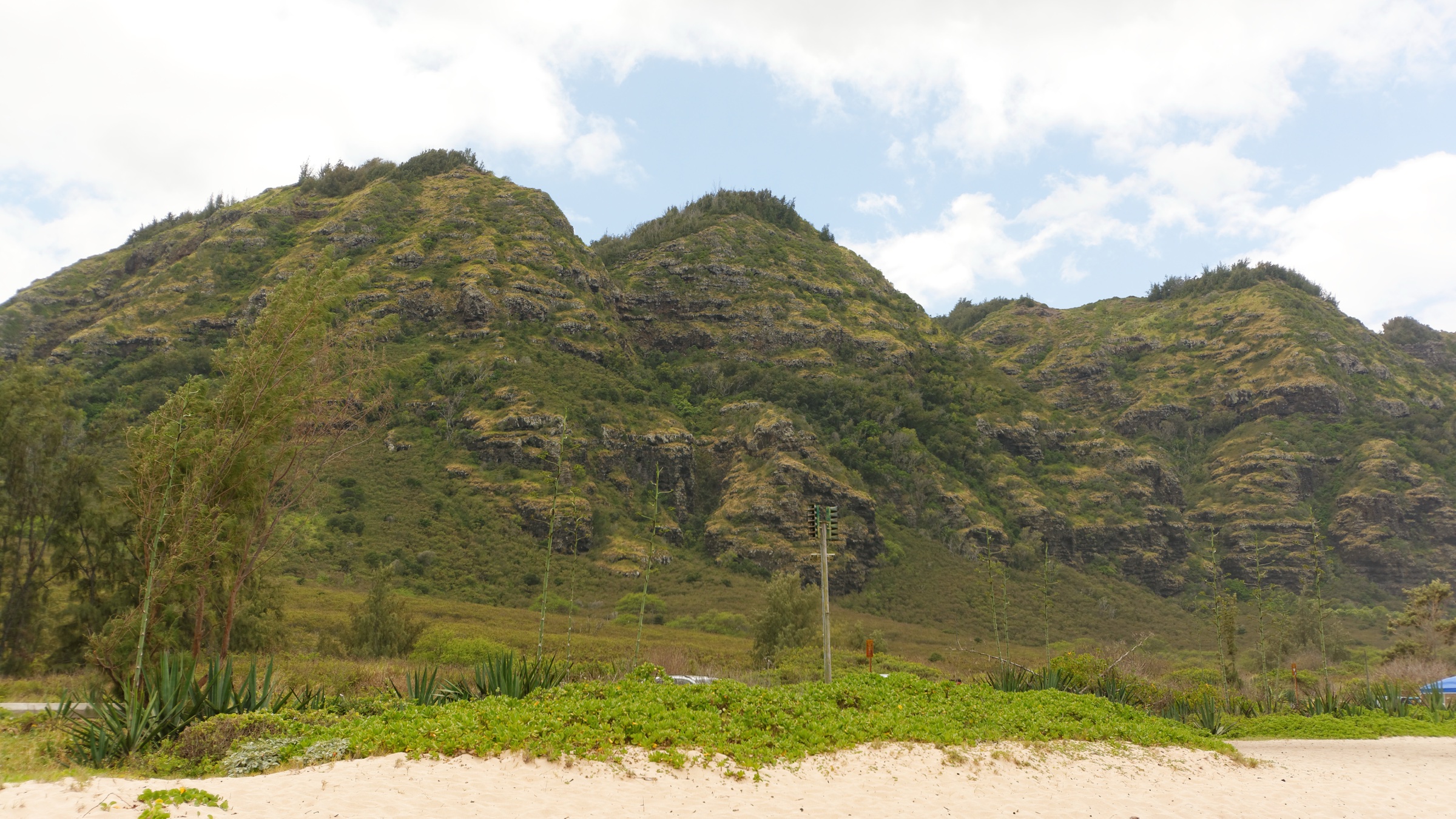
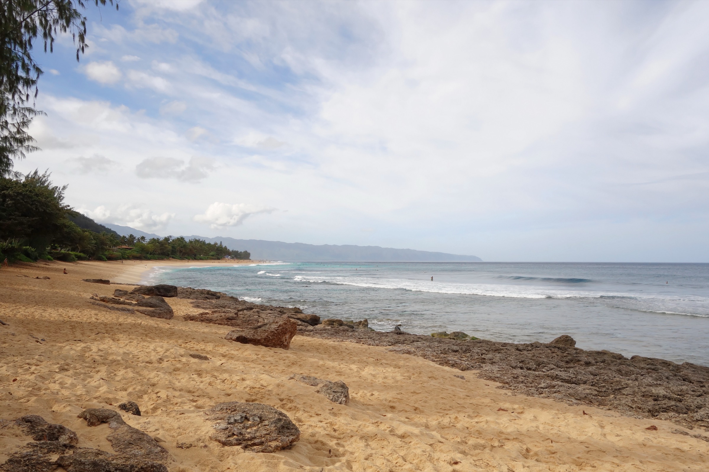
Oʻahu’s North Shore is the arc of coast from Kaʻena Point through Mokuleʻia, Waialua and Haleʻiwa, past Waimea and Pupukea, along Sunset Beach and Kahuku, and around to Lāʻie in the north-east corner. Two shield-volcano remnants back this coast. West of Waimea the northern Waianae Range plunges into the sea at Kaʻena; east of Waimea the Koʻolau Range’s northern lobe carries most of the ridges that face the North Shore. The summit crest here sits at roughly 550–900 m — far lower and gentler than the near-vertical central Koʻolau escarpment — and its trade-wind-facing spurs finger down through Pupukea-Paumalu, above Sunset Beach and Kahuku, and behind Lāʻie. Trade winds strike this coast from the east-north-east, so the northern Koʻolau ridges catch the same orographic rainfall as windward Oʻahu (roughly 2,000–5,000 mm/yr at the crest) while the immediately leeward flats of Waialua and Haleʻiwa remain relatively dry (roughly 800–1,200 mm/yr). Winters bring the big north-swell surf and heavy rain from Kona storms and cold fronts; summers (May–September) are drier and less muddy, though the summit rim still shrouds in cloud most afternoons.
Land tenure on the North Shore ridges is a patchwork. The State DLNR Division of Forestry and Wildlife (DOFAW) administers the Pūpūkea and Pūpūkea-Paumalu Forest Reserves, with trails signed under the Nā Ala Hele state trail programme. Puʻu o Mahuka Heiau above Waimea is a DLNR State Historic Site. The upper Koʻolau summit routes accessed from the Wahiawā side (Poamoho, ʻEwa Forest Reserve) cross agricultural leaseholds and require a free DOFAW hiking permit for the access-road gate code. Behind Lāʻie everything above the coastal terrace belongs to Hawaii Reserves Inc. (HRI), the land arm of the LDS Church — access is by a free HRI waiver obtained online at hrihelp.com. The Pupukea-Paumalu bluff — including the ʻEhukai Pillbox ridge — sits partly on land preserved in 2007 by the North Shore Community Land Trust and the Trust for Public Land and now managed as public open space.
Access essentials: trailheads have very limited roadside parking, so arrive early on weekends. Nā Ala Hele signage is reliable at Kaunala, Pupukea Summit and Poamoho and reasonable at Laʻie; ʻEhukai Pillbox is signed only at the trail base. Coastal trailheads (Sunset Beach, Lāʻie) sit inside tsunami evacuation zones — the 1 April 1946 Aleutian tsunami reshaped the entire North Shore and killed 159 people statewide, and Kamehameha Highway is the marked evacuation route. Puʻu o Mahuka Heiau is the largest heiau on Oʻahu (over two acres, luakini class, built in the 1600s and used until 1819); it was designated a National Historic Landmark in 1962. The ancient ala loa (main coastal trail) once linked all these ahupuaʻa, and the ridge trails follow segments of older upland routes used by kahuna and travellers moving between the North Shore and the central Wahiawā plateau.
Hazards region-wide: red-clay mud after rain, slick footing on ridge switchbacks, strong wind and cloud on the Koʻolau summit crest, rare falling trees in ironwood plantations, and — for coastal trailheads — awareness of tsunami sirens and the marked evacuation route. Fresh water in streams should be treated (leptospirosis is endemic in Hawaiʻi). Off-trail scrambling on unmaintained windward Koʻolau ridgelines is a documented fatality risk on Oʻahu and outside the scope of the routes below.
Selection rationale
Five routes are chosen to give balanced North Shore coverage without duplicating trailheads or overlapping the existing Waianae Range, Koʻolau Range and Honolulu Ridge articles. Kaunala Loop is the signature Koʻolau-side ridge loop above Pupukea — a genuine loop through native and reforested woodland with successive North Shore panoramas. ʻEhukai Pillbox Trail is the iconic short pillbox climb above Banzai Pipeline, the North Shore’s most-photographed viewpoint. Puʻu o Mahuka Heiau overlook walk is the essential cultural and landscape counterweight — the largest heiau on Oʻahu on the bluff above Waimea Bay. Laʻie Falls Trail is the only long legal ridge-and-waterfall hike on the northeast Koʻolau, accessed on a straightforward HRI permit. Poamoho Ridge Trail — reached from the Wahiawā side but delivering the finest legal summit-crest view over the north-eastern quadrant of the North Shore — closes the set. Together they span an iconic ridge loop, an iconic pillbox climb, a cultural viewpoint walk, a windward ridge-to-falls day, and a permitted summit crest.
Summary table
| # | Hike | Country | Route type | Distance | Gain | Max elevation | Difficulty |
|---|---|---|---|---|---|---|---|
| 1 | Kaunala Loop | USA | Loop | ~8.4 km (~5.2 mi) | ~355 m | ~430 m | Moderate |
| 2 | ʻEhukai Pillbox Trail | USA | Out-and-back / short loop | 2.4–4.8 km (1.5–3.0 mi) | ~200 m | ~215 m | Easy–Moderate |
| 3 | Puʻu o Mahuka Heiau overlook | USA | Short loop / out-and-back | ~1.2 km (~0.7 mi) | ~30 m | ~90 m | Easy |
| 4 | Laʻie Falls Trail | USA | Out-and-back | ~11.9 km (~7.4 mi) | ~365 m | ~490 m | Moderate |
| 5 | Poamoho Ridge Trail | USA | Out-and-back | ~11.6 km (~7.2 mi) | ~215 m | ~750 m | Moderate–Strenuous |
1. Kaunala Loop
Snapshot
Itinerary
From the end of Pupukea Road, park on the shoulder before the Camp Pūpūkea gate and pick up the signed Kaunala Trail heading east into the forest reserve. The trail begins on a well-graded old forestry road through introduced ironwood and Norfolk pine, then narrows to single-track as it starts to climb along a ridge spur. Over the next ~2 km the trail passes successive small viewpoints back over Waimea Valley to the west and towards Kawela and Kahuku to the east. A signed junction at about 3 km marks the start of the return loop. The high point of the ridge at ~430 m sits on a broad Koʻolau spur with the finest single view of the walk — north across the crescent of the North Shore from Kaʻena Point to Kahuku Point, with the whole Banzai / Sunset arc laid out below. Continue on the loop through native ʻōhiʻa and uluhe fern before descending back to the ridge junction and returning via the outbound tread to the trailhead. Nā Ala Hele restricts the loop to weekends and state holidays (the surrounding forest reserve is a hunting unit on weekdays); confirm the current schedule at the trailhead register or on the DLNR Hawaii Trails portal.
Why it is essential
Kaunala is the signature North Shore ridge day. It is a genuine loop rather than an out-and-back, well-graded and unusually varied — ironwood plantation, Norfolk pines, native ʻōhiʻa forest, uluhe fern, and successive viewpoints — and it delivers the definitive elevated view of the North Shore coastline from a Koʻolau-side ridge. It samples exactly what makes the northern Koʻolau distinctive: lower, greener, quieter than the central range, and hikable in a single half-day.
Equipment
- Trail runners or light boots with grip on wet clay
- Weatherproof shell
- Sun protection for the exposed ridge sections
- 2 L water — no reliable source on the trail
- Trekking poles helpful on the descent after rain
- Map, compass and downloaded Nā Ala Hele map
- Insect repellent for the forested valley bottom
Hazards and notes
- Nā Ala Hele access restricted to weekends and state holidays — verify current schedule
- Red-clay mud persists days after rain; the ridge sections dry fastest
- Shared with mountain bikers on the outbound forestry-road section
- No potable water on the trail
- Cell coverage patchy on the ridge, adequate at the trailhead
- The nearby Camp Pūpūkea Boy Scout Camp has been in place since 1927 — respect posted camp boundaries
GPX / KML links
| Source | URL | Format | Notes |
|---|---|---|---|
| Nā Ala Hele — Hawaii Trails | hawaiitrails.ehawaii.gov | State portal | Trail search and status |
| DLNR DOFAW — Pūpūkea Forest Reserve | dlnr.hawaii.gov | Official reserve page | Reserve rules |
Sources
2. ʻEhukai Pillbox Trail
Snapshot
Itinerary
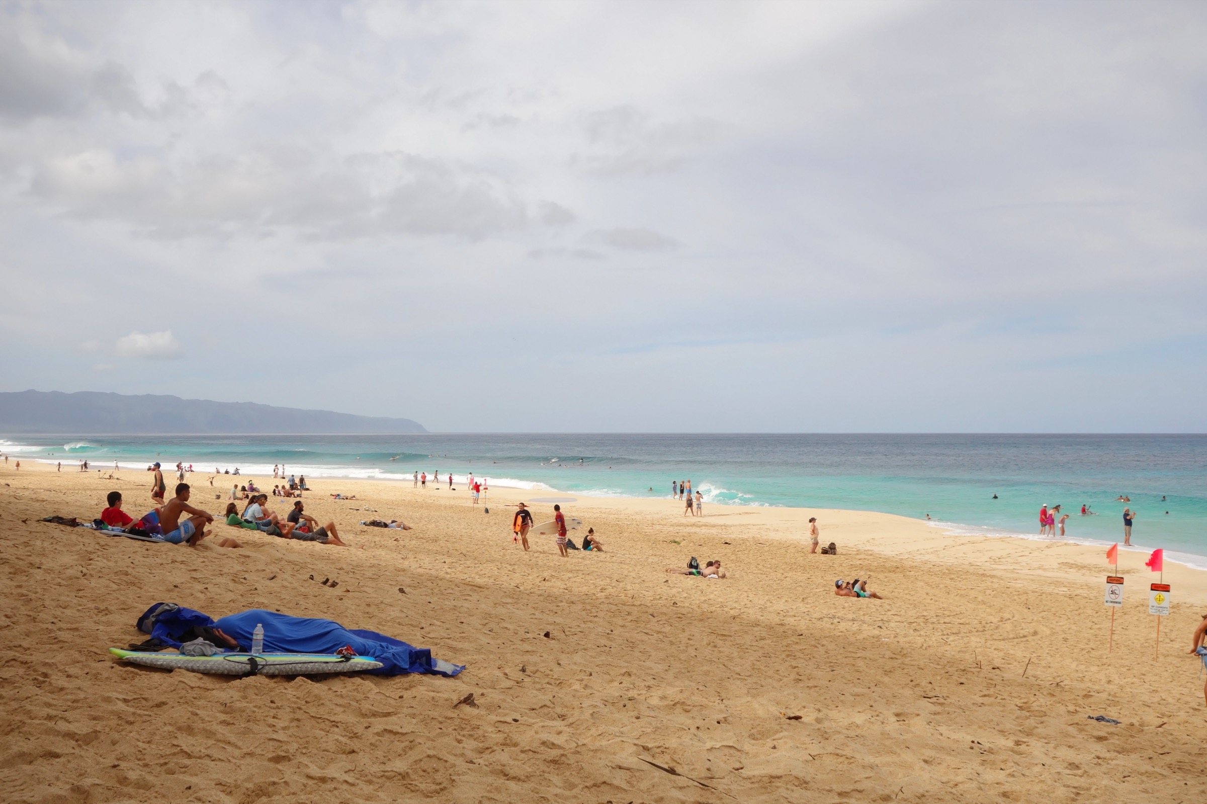
Cross Kamehameha Highway from Sunset Beach Elementary School (opposite the Banzai Pipeline surf break) and pick up the ʻEhukai Pillbox Trail at the signed trailhead on the mauka (mountain) side. The trail climbs immediately, gaining about 200 m in the first kilometre through mixed strawberry-guava and ironwood on a steep red-clay tread. Several rope-assisted sections steady the steeper pitches. The first pillbox is reached at about 1.2 km — a WWII coastal observation bunker, typically painted with a peace sign — with a clear view straight down the Banzai Pipeline reef and the full Pupukea to Sunset arc. Continuing east along the ridge for another ~0.5 km leads to a second pillbox at ~215 m with a wider view east towards Kahuku Point. Return the way you came, or descend the connecting east ridge track towards Sunset Beach Neighborhood Park for a longer loop back along the coast. Winter surf conditions (November–March) make the coastal walk-back particularly striking.
Why it is essential
ʻEhukai is the iconic short North Shore hike. Twenty minutes uphill lifts you 200 m straight above the Banzai Pipeline, with the entire crescent of Sunset Beach, Pupukea and the surf breaks below. Two WWII pillboxes at the top anchor a view that no other trail on Oʻahu delivers. It pairs naturally with a swim or a sunset on the beach, and its brevity makes it the essential North Shore introduction for hikers who cannot commit a full day.
Equipment
- Trail runners with sticky rubber for the clay tread and rope sections
- Sun protection — no shade above the initial guava
- 1.5 L water
- Weatherproof shell — brief tropical showers can arrive without warning
- Insect repellent for the guava thicket
Hazards and notes
- Severe trail erosion and slick red clay — rope-assisted sections require careful hand placement
- No shade above the initial guava belt
- Coastal trailhead sits inside the tsunami evacuation zone — Kamehameha Highway is the marked evacuation route
- Very limited roadside parking; peak-season overflow is aggressive
- Pupukea-Paumalu open-space parcel — respect posted boundaries, no camping, no fires
- Winter surf on the reef below can be lethal — do not descend for a swim in high-swell conditions
GPX / KML links
| Source | URL | Format | Notes |
|---|---|---|---|
| North Shore Community Land Trust | northshoreland.org | Land steward | Pupukea-Paumalu context |
| Nā Ala Hele — Hawaii Trails | hawaiitrails.ehawaii.gov | State portal | Adjacent Pūpūkea Forest Reserve |
Sources
3. Puʻu o Mahuka Heiau overlook walk
Snapshot
Itinerary
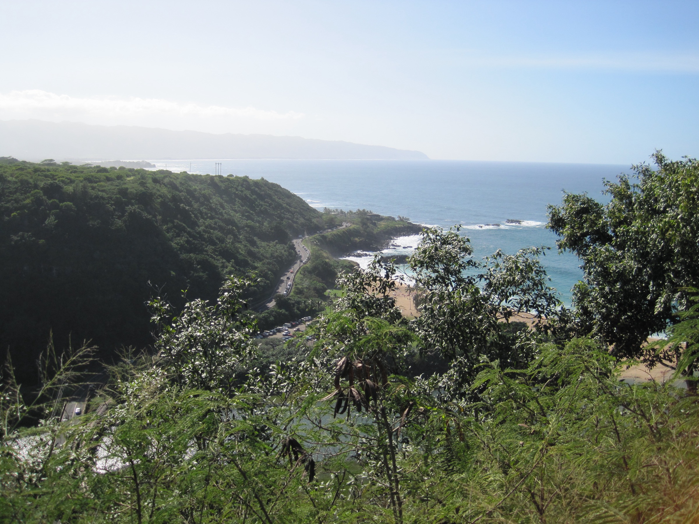
From the end of Puʻu o Mahuka Road, park at the site lot and pick up the short interpretive loop around the heiau enclosure. The main platform — over two acres in extent — is a substantial stone-walled precinct on the bluff above Waimea Bay. A perimeter path leads clockwise around the heiau to a viewpoint spur on the seaward edge, with a clear view over Waimea Bay to the west, out towards Kaʻena Point, and — on winter days — the enormous surf breaking on the Waimea reef and the Bay itself. Interpretive panels describe the site’s history and cultural significance. Do not walk on or move any of the stones (this is a sacred site). Return by the same tread. The walk can be combined with the Kaunala Trail (Hike 1), which starts a further 2 km up Pupukea Road — the two together make a strong half-day North Shore cultural + ridge itinerary.
Why it is essential
Puʻu o Mahuka is the largest heiau on Oʻahu and the definitive cultural viewpoint on the North Shore. It gives the essential Waimea Bay photograph from the same bluff where the heiau was built. Every North Shore itinerary should include the walk. It serves as the interpretive counterweight to the WWII pillboxes at ʻEhukai: two layers of history within a few kilometres, both looking out on the same coast.
Equipment
- Ordinary walking shoes
- Sun hat and sunscreen — no shade on the bluff
- 1 L water
- Camera / binoculars for winter surf on Waimea
Hazards and notes
- Sacred site — do not walk on, sit on, or move any of the stones; do not take offerings from the heiau
- Open daily 07:00–18:45 (DLNR State Parks); free
- No water on the site
- The narrow gravel access road can be washed out after heavy rain
- Photograph respectfully — many visitors leave stone offerings; do not remove them
GPX / KML links
| Source | URL | Format | Notes |
|---|---|---|---|
| DLNR State Parks — Puʻu o Mahuka Heiau | dlnr.hawaii.gov | Official park page | Access, hours, rules |
| National Park Service — Puʻu o Mahuka Heiau | nps.gov | NHL entry | Historical background |
Sources
4. Laʻie Falls Trail
Snapshot
Itinerary
Park at Lāʻie Park on Hukilau Beach and walk ~0.8 km inland up Poʻohaili Street to the yellow gate. Present or carry your HRI hiking waiver — a free permit issued online at hrihelp.com, typically approved within minutes. Beyond the gate the route follows an old plantation-era jeep road on the lower ridge, climbing gently through introduced Cook and Norfolk pines. After about 3 km the road narrows to a proper single-track ridge trail with native ʻōhiʻa and uluhe fern taking over from the plantation species. Successive open sections give ocean panoramas from Malaekahana north to Kahuku Point. The high point at about 5 km sits on Laʻie Ridge at ~490 m; from here a signed spur descends steeply into a small side ravine to reach Laʻie Falls at about 6 km — a modest but attractive Koʻolau falls with a shallow pool. Return by the same tread. A landslide has damaged the ridge continuation beyond the Pine Forest section — do not continue past the last marked spur.
Why it is essential
Laʻie Falls is the only legal long ridge-and-waterfall day-hike on the north-eastern Koʻolau. It climbs an entire windward Koʻolau spur behind Lāʻie, opening ocean panoramas from Malaekahana to Kahuku Point, before dropping to a Koʻolau falls in a ravine. It contrasts sharply with the exposed pillbox and heiau walks — a full-day forest ridge on the North Shore’s north-east corner, and one of the very few HRI-permitted trails that gives windward Koʻolau summits at legal-access ease.
Equipment
- Sturdy trail runners or boots with grip on clay
- Weatherproof shell
- Sun protection for the open plantation-road sections
- 2.5 L water — treat any stream water at the falls
- Insect repellent — mosquitoes are abundant on the lower ridge
- HRI permit printout (email confirmation on phone acceptable)
- Trekking poles for the falls-spur descent
Hazards and notes
- HRI permit required — apply free online at hrihelp.com; carry proof
- Do NOT continue on the ridge beyond the last signed spur — a landslide has damaged the tread
- Falls pool has been the site of flash-flood incidents — do not linger in the ravine after heavy upstream rain
- Coastal parking at Lāʻie Park sits inside the tsunami evacuation zone
- Cell coverage reliable at the trailhead, patchy on the ridge
- The Lāʻie ahupuaʻa is one of Oʻahu’s most culturally significant coastal areas — respect all posted boundaries and cultural sites near the trailhead
GPX / KML links
| Source | URL | Format | Notes |
|---|---|---|---|
| Hawaii Reserves Inc. — hiking permits | hrihelp.com | Landowner permit | Free waiver required |
| Nā Ala Hele — Hawaii Trails | hawaiitrails.ehawaii.gov | State portal | Adjacent DLNR reserves |
Sources
5. Poamoho Ridge Trail
Snapshot
Itinerary
Obtain a free DOFAW hiking permit in advance from the DLNR Makiki office (available online) — this provides the gate code and the current access-road status. From the state highway above Wahiawā, drive the 5.9-mile Poamoho Hele Loa Access Road (high-clearance 4WD recommended in wet weather) to the upper trailhead at ~535 m. Trail access is restricted to Friday through Monday inclusive of state and federal holidays. From the upper trailhead, pick up the Poamoho Trail heading north-east. The trail climbs steadily on a well-graded ridge tread through native ʻōhiʻa and uluhe fern, with periodic views over the ʻEwa Forest Reserve to the leeward south. The tread narrows as it approaches the Koʻolau summit crest, and the final ~1 km climbs onto increasingly exposed ridge terrain. The summit is reached at the Kline Memorial at ~750 m — a small memorial plaque on the crest that honours a hiker who died on the ridge. The view sweeps over Punaluʻu, Kahana Bay and the whole windward corner from Kaʻaʻawa to Kahuku — the same coastline that the coastal North Shore hikes look up towards. Do not descend windward off-trail: the summit drops as an unstable near-vertical cliff into Punaluʻu and Kahana valleys. Return by the same tread. The full access-road walk from the highway gate turns the day into a 20+ km outing; most parties drive.
Why it is essential
Poamoho is the one legal, permitted route to the Koʻolau summit crest overlooking the North Shore’s north-eastern quadrant. From the Kline Memorial the view sweeps over the same windward corner that the coastal walks look up towards — Kaʻaʻawa, Punaluʻu, Kahana Bay, Kahuku. It stands in for the illegal Haʻikū Stairs experience with none of the legal risk, on a Nā Ala Hele-signed CCC-era ridge trail that has been in the state trail system since the 1930s.
Equipment
- Sturdy hiking boots with grip on wet clay
- Weatherproof shell — the summit is exposed to wind and cloud
- Warm insulating layer, hat and gloves for the crest
- Sun protection for the lower ridge
- 2.5 L water — no source on the trail
- Trekking poles helpful on the return
- Map, compass and downloaded Nā Ala Hele map
- Insect repellent for the lower forest
- DOFAW permit printout with gate code
Hazards and notes
- DOFAW permit required — obtain the free permit and current gate code before travel
- Trail access restricted to Friday through Monday including state and federal holidays
- Do NOT descend off-trail windward — the summit drops as an unstable cliff
- Access road is 5.9 mi of jeep track; high-clearance 4WD strongly recommended in wet weather
- Summit crest exposed to sudden fog, cold and wind — turn back in unsettled weather
- No cell coverage on the ridge; adequate at the upper trailhead
- The Kline Memorial honours a hiker fatality — respect the site
GPX / KML links
| Source | URL | Format | Notes |
|---|---|---|---|
| DLNR DOFAW — Oʻahu trails and permits | dlnr.hawaii.gov | Official state page | Permit application |
| Nā Ala Hele — Hawaii Trails | hawaiitrails.ehawaii.gov | State portal | Poamoho listing |
Sources
Missing data / follow-up work
- Kaunala Loop image — no licence-compatible Wikimedia Commons photo of the Kaunala ridge or its viewpoint at ≥2400 px was available at time of writing. Consult DLNR / North Shore Community Land Trust pages for representative photography.
- ʻEhukai Pillbox photograph — no Commons image of the pillboxes themselves at ≥2400 px was available; the Banzai Pipeline view from below is used as the closest match to the summit vista.
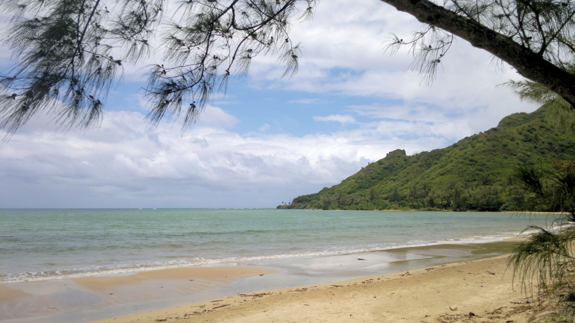
- Poamoho direct summit image — no Commons image of the Poamoho Kline Memorial or summit view at ≥2400 px was available; the Kahana Bay windward view is used as the coastline the summit crest overlooks.
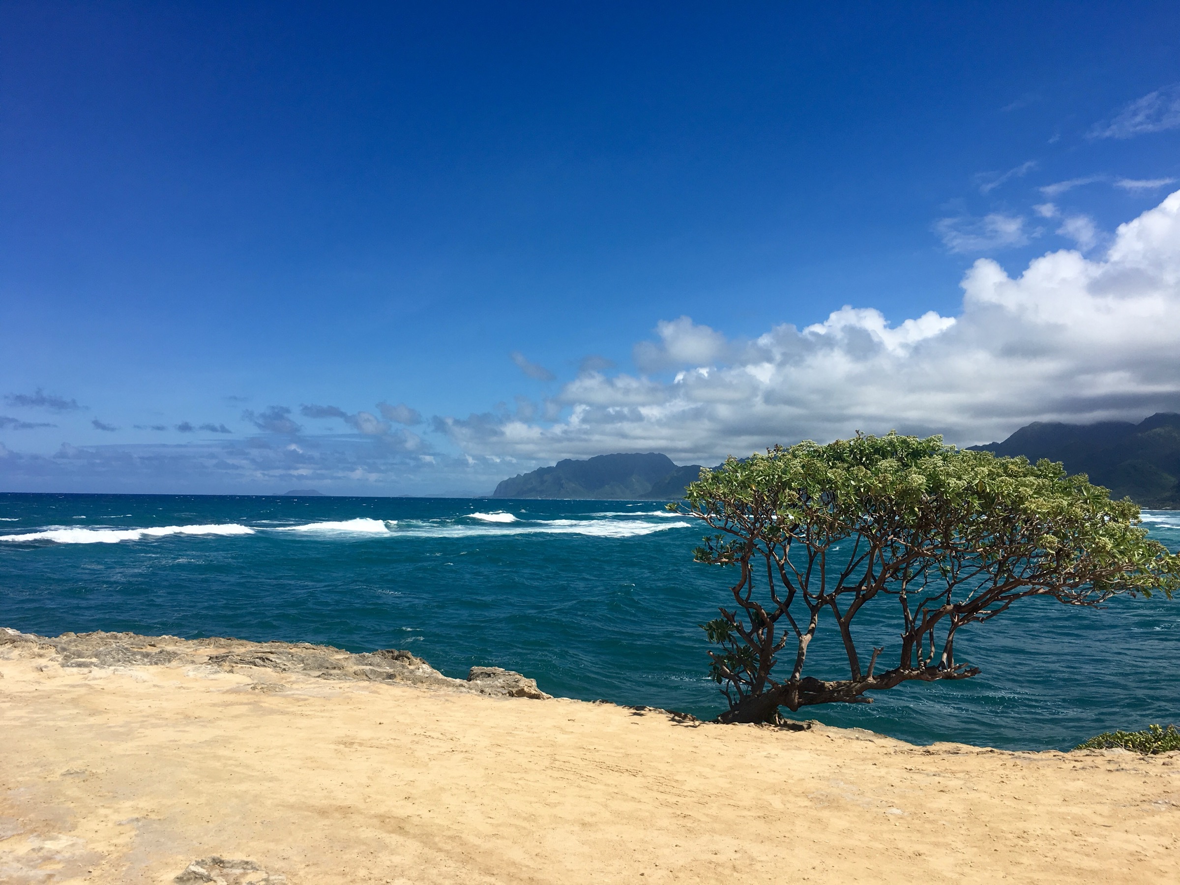
- Laʻie Falls direct image — no Commons image of Laʻie Falls itself or the ridge tread was available; the Laʻie Point coastal view is used as the seaward panorama the ridge delivers.
- Nā Ala Hele Kaunala schedule 2026 — weekend / state-holiday-only access has been the standing rule, but exact quarterly schedule changes; verify at hawaiitrails.ehawaii.gov before travel.
- DOFAW Poamoho gate code 2026 — codes rotate; permit issue is required.
- HRI Laʻie Falls waiver 2026 — Hawaii Reserves Inc. maintains a rolling waiver system at hrihelp.com; confirm current URL and process before travel.
- Trail closures after storms — Kona storms in winter close all these ridges intermittently; check DLNR/DOFAW closure notices before travel November–March.
Further reading
| Source | URL |
|---|---|
| DLNR — Division of Forestry and Wildlife | dlnr.hawaii.gov |
| Nā Ala Hele — Hawaii Trails portal | hawaiitrails.ehawaii.gov |
| DLNR State Parks — Oʻahu | dlnr.hawaii.gov/dsp |
| DLNR State Parks — Puʻu o Mahuka Heiau | dlnr.hawaii.gov |
| DLNR DOFAW — Pūpūkea Forest Reserve | dlnr.hawaii.gov |
| Hawaii Reserves Inc. — hiking permits | hrihelp.com |
| North Shore Community Land Trust | northshoreland.org |
| NPS — Puʻu o Mahuka Heiau | nps.gov |
| TheBus — Honolulu / Oʻahu transit | thebus.org |
| Pacific Tsunami Warning Center | tsunami.gov |