Regional overview
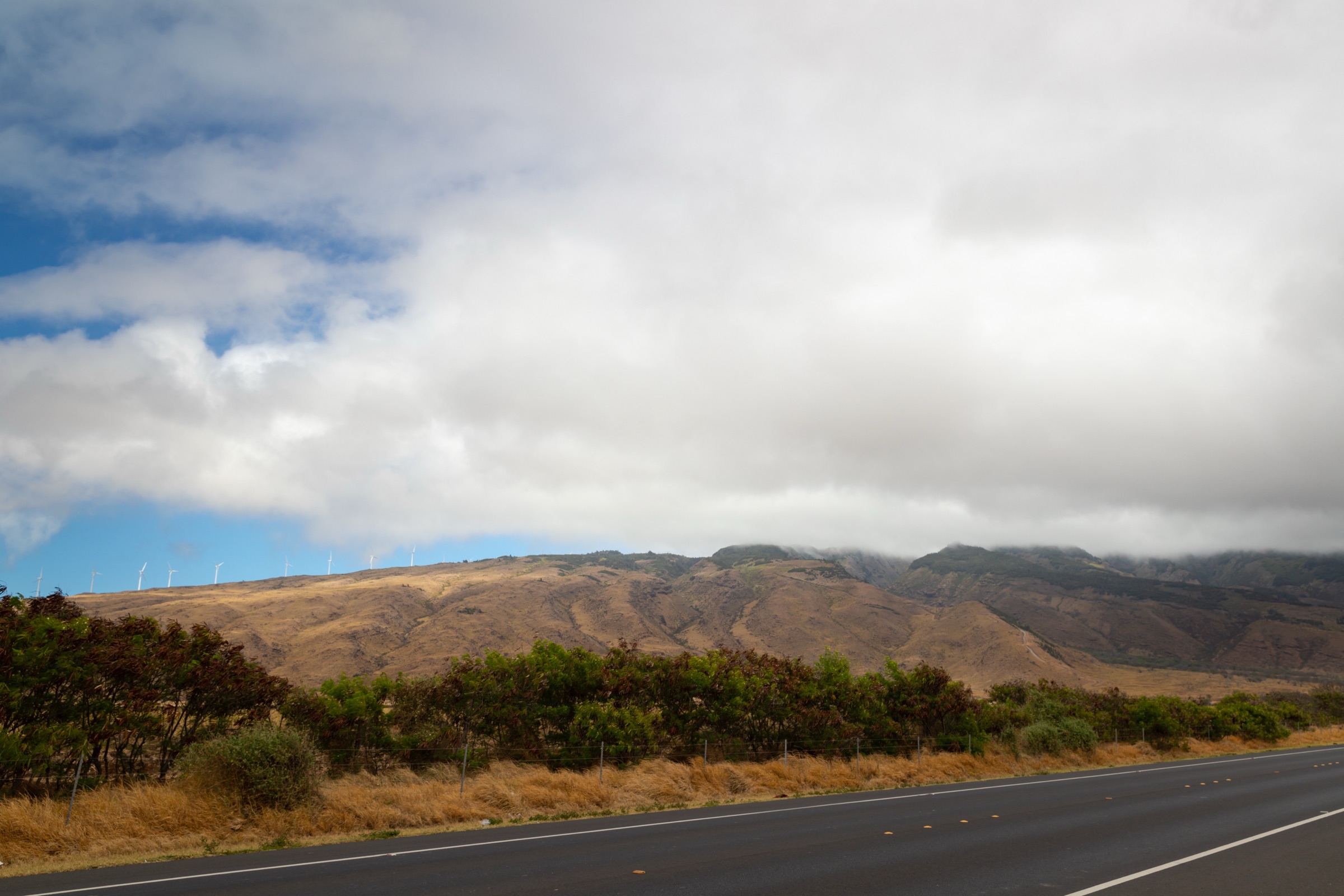
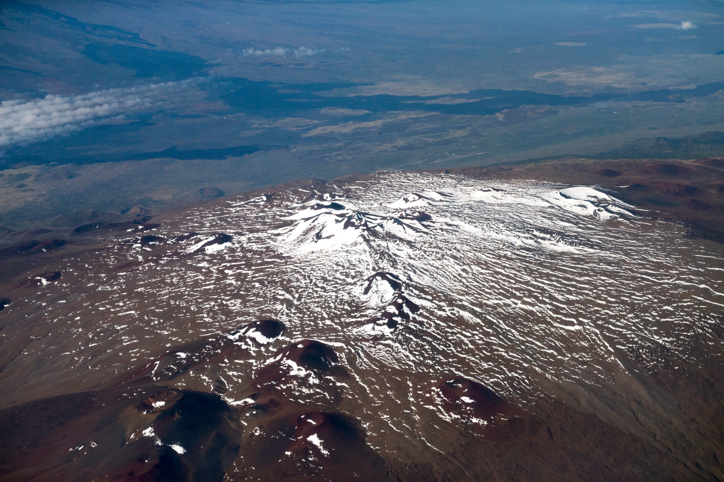
Maunakea (also written Mauna Kea) is the highest summit of Hawaiʻi Island and, measured from its base on the seafloor, the tallest mountain on Earth. The summit stands at about 4,205 m and lies in a culturally sensitive landscape governed by the Maunakea Stewardship framework and the University of Hawaiʻi at Hilo’s Center for Maunakea Stewardship. Walking on the mountain divides cleanly into three altitude zones: an alpine summit and crater-edge zone above the Visitor Information Station that is short on distance but heavy on altitude, cold, wind and cultural sensitivity; an acclimatisation belt around the Visitor Information Station itself at roughly 2,800 m; and the Saddle Road forest belt below, where the dominant ecology is ʻōhiʻa-koa highland forest, lava-flow kīpuka and a rich native bird community.
Access is fundamental. The Mauna Kea Access Road is a paved climb from the Daniel K. Inouye Highway (Saddle Road, Hwy 200) to the Visitor Information Station at about 2,804 m, and continues as an unpaved upper road to the summit telescopes. Above the Visitor Information Station, four-wheel drive with low range is required and conditions can change quickly; the official guidance is to stop at the Visitor Information Station, allow time to acclimatise, and only continue above 4,000 m in safe weather. Maunakea Stewardship publishes current closures, weather, and cultural-protocol notices that should be checked before any high walk. The summit area is sacred ground in Hawaiian tradition; visitors are asked to stay on designated routes and to avoid summit cairns and other features that have ceremonial significance.
The five-route selection below mixes the classic Humuʻula Trail summit ascent and the short Lake Waiau out-and-back at the top of the mountain with a Visitor Information Station acclimatisation walk and two forest-belt routes on the Saddle Road side. The two Saddle Road routes — the Puʻu ʻŌʻō / Powerline Loop and the Kaulana Manu Nature Trail — share trail networks with the longer Puʻu ʻŌʻō Trail and Kaulana Manu walks covered in the companion Hāmākua and Waipiʻo highlands entry; this article treats them as Maunakea-side variants rather than Hāmākua-coast walks. For the south side of the island see the Hawaiʻi Volcanoes National Park summit and crater catalogue where it exists.
Selection rationale
The five entries cover the practical day-walking range of Maunakea: a strenuous high-altitude summit ascent, a short alpine objective above 4,000 m, a sub-3,000 m acclimatisation viewpoint at the Visitor Information Station, a Saddle Road forest loop on rough ʻaʻā lava, and a 1 km birding nature trail. The Humuʻula Trail is the only walking ascent of Maunakea that does not require driving the upper access road and is the defining mountain day in the region. The Lake Waiau short walk is included because the lake is one of Maunakea’s most distinctive cultural and ecological features — a small high-altitude lake on a volcanic summit — and because it can be done as a brief out-and-back from the upper road on a day when full summit weather is marginal. The Puʻu Kalepeamoa / Sunset Hill walk is the most accessible Visitor Information Station-area acclimatisation hike and the canonical short Maunakea viewpoint for visitors who should not or do not want to go higher. The Puʻu ʻŌʻō / Powerline Loop and the Kaulana Manu Nature Trail are the two forest-belt entries; both sit on the wetter Saddle Road side of the mountain and complement the summit and acclimatisation entries with native-forest and bird habitat.
Verification stance for this catalogue: official Maunakea Stewardship and Visitor Information Station pages remain the primary source for safety, cultural protocol and access rules, but they do not publish standardised route geometry, distance, ascent, or estimated walking time for individual trails. Where statistics are given below they are taken from AllTrails route records as a secondary source and are noted as partially verified. No official downloadable GPX or KML files were located for any of the five routes in this pass.
Summary table
| # | Hike | Country | Route type | Distance | Gain | Max elevation | Difficulty |
|---|---|---|---|---|---|---|---|
| 1 | Humuʻula Trail to Maunakea summit | USA | Out-and-back | 21.1 km | 1,498 m | 4,211 m | Strenuous |
| 2 | Lake Waiau from Mauna Kea Access Road | USA | Out-and-back | 2.3 km | 127 m | 4,009 m | Moderate at altitude |
| 3 | Puʻu Kalepeamoa / Sunset Hill from the Visitor Information Station | USA | Out-and-back | 1.6 km | 47 m | 2,842 m | Easy |
| 4 | Puʻu ʻŌʻō and Powerline Loop | USA | Loop | 14.3 km | 323 m | 1,802 m | Moderate |
| 5 | Kaulana Manu Nature Trail | USA | Out-and-back | 1.0 km | 14 m | 1,714 m | Easy |
1. Humuʻula Trail to Maunakea summit
Snapshot
Itinerary
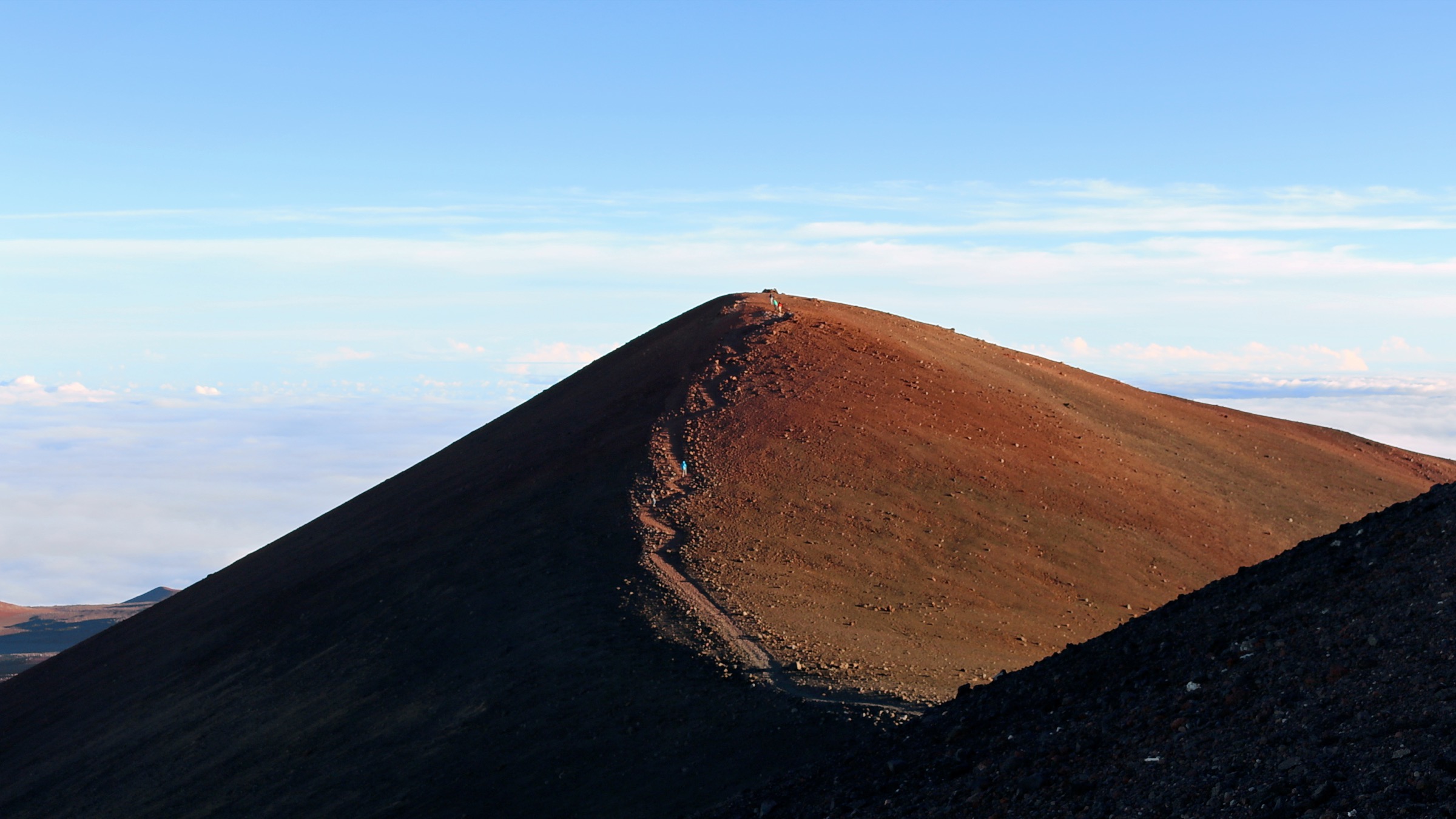
Begin at the Visitor Information Station at about 2,804 m, where Maunakea Stewardship asks visitors to acclimatise for at least 30 minutes before continuing higher. The Humuʻula Trail leaves the upper edge of the Visitor Information Station area and climbs the south-east flank of the mountain through a long sequence of cinder cones, lava flows, and alpine desert with no shade and no water. The route gains roughly 1,500 m over 10.5 km, rejoining the upper summit road for the final approach to the summit area. The standard objective is the 4,211 m summit-area high point near the cluster of observatories rather than the absolute high point itself, which is considered sacred and is normally avoided on cultural-protocol grounds. The return is on the same path; build a generous time buffer because descending altitude on tired legs is the most common reason summit-day parties finish in the dark.
Why it is essential
The Humuʻula Trail is the only legitimate walking ascent of Maunakea — a 4,000 m volcanic summit that is also one of the most culturally significant places in Hawaiian tradition. It is the defining mountain day of Hawaiʻi Island. Doing it on foot rather than driving the upper road is a different category of visit, with time on the cinder slopes and altitude exposure that the road simply does not give.
Equipment
- High-altitude hiking kit: warm insulated layer, full wind / rain shell, hat and gloves
- Sturdy boots for cinder and lava footing
- Strong sun protection — eyewear, hat, high-SPF sunscreen and lip balm
- 3–4 L of water and substantial food; there is no water on the route
- Navigation: map / GPS and headlamp with spare batteries
- Personal locator beacon or satellite messenger recommended
- A buffer day for altitude acclimatisation before attempting the summit
Hazards and notes
Altitude sickness, hypothermia, storms, snow, high wind and remoteness are the principal hazards. Maunakea Stewardship advises against ascending above the Visitor Information Station within 24 hours of scuba diving or a flight; do not bring children under 16 above the Visitor Information Station; and check the daily summit weather and road status before committing to the climb. The summit area is sacred ground in Hawaiian tradition; stay on the designated trail, do not build or alter cairns, and follow current cultural-protocol guidance from Maunakea Stewardship.
GPX / KML links
| Source | URL | Format / access | Reuse status |
|---|---|---|---|
| Maunakea Stewardship — Visitor Information Station | hilo.hawaii.edu | Official visitor / access page | UH Maunakea Stewardship terms; no GPX published |
| Maunakea Stewardship — Visitor Information | hilo.hawaii.edu | Official safety / weather guidance | UH Maunakea Stewardship terms |
| AllTrails — Humuʻula Trail to Mauna Kea Summit | alltrails.com | Secondary route record | AllTrails terms; partial verification source for distance / gain / time |
Further reading
- Maunakea Stewardship — Visitor Information Station
- Maunakea Stewardship — Visitor Information
- AllTrails — Humuʻula Trail to Mauna Kea Summit
2. Lake Waiau from Mauna Kea Access Road
Snapshot
Itinerary
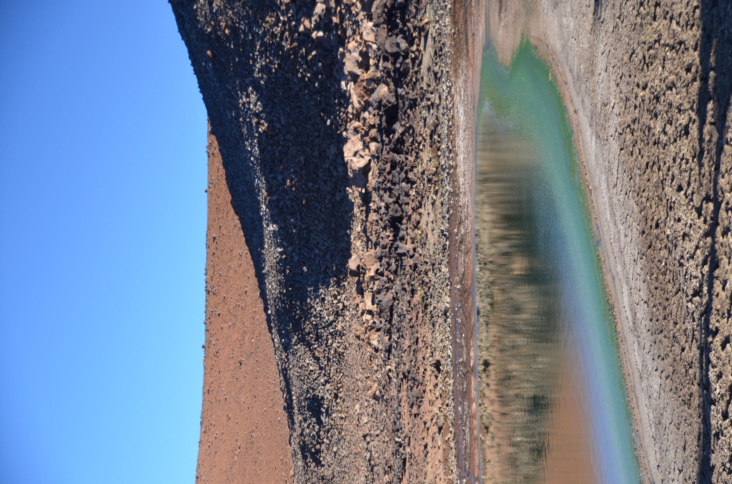
From the signed upper Mauna Kea Access Road pull-off above the Visitor Information Station, follow the short marked route across loose cinder and basalt blocks to Lake Waiau, a small body of water in a high cinder-cone basin at about 4,009 m. The walk is brief on the map but the altitude and the loose surface make it a slow trip; allow the full hour even for the shorter side of the time range, and longer if Maunakea is the first 4,000 m altitude of the trip. Return on the same path. The lake and its margins are culturally significant and ecologically fragile — there is no acceptable route off the marked path and no acceptable reason to enter the lake or to collect water, rock or sediment.
Why it is essential
Lake Waiau is one of the most distinctive features of Maunakea: a small high-altitude lake in a culturally sacred basin on a volcanic summit. It is also the realistic backup objective on a marginal weather day when the full Humuʻula summit ascent is not safe; reaching 4,000 m on foot in under 90 minutes from the road is otherwise rare in the United States.
Equipment
- Warm layer, wind shell and a hat for the basin
- Sturdy walking shoes or low boots; the surface is loose
- Sun protection — the basin has no shade
- 1 L of water and an altitude-tolerant snack
- A four-wheel drive vehicle with low range for the upper access road; the road conditions notice on the official Maunakea Stewardship page should be checked the morning of the walk
Hazards and notes
The walk is above 4,000 m and altitude symptoms can appear within minutes of arrival at the trailhead — descend if dizziness, severe headache or nausea develops. Stay on durable surfaces and out of the lake itself. Maunakea Stewardship cultural-protocol guidance applies in full to the Lake Waiau area.
GPX / KML links
| Source | URL | Format / access | Reuse status |
|---|---|---|---|
| Maunakea Stewardship — Visitor Information | hilo.hawaii.edu | Official safety / weather page | UH Maunakea Stewardship terms; no GPX published |
| AllTrails — Lake Waiau from Mauna Kea Access Road | alltrails.com | Secondary route record | AllTrails terms; partial verification source |
Further reading
3. Puʻu Kalepeamoa / Sunset Hill from the Visitor Information Station
Snapshot
Itinerary
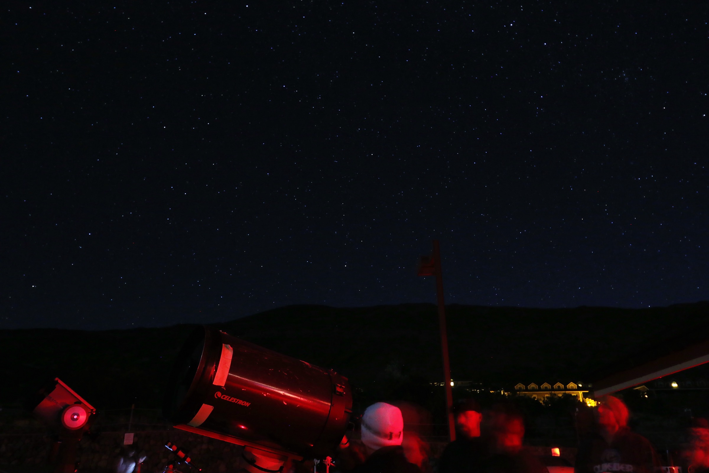
From the Visitor Information Station parking area, follow the signed short cinder-cone walk often labelled Sunset Hill on visitor maps, leading to the top of Puʻu Kalepeamoa at about 2,842 m. The walk gains 47 m on a clearly defined cinder path and gives a sweeping view across the upper Saddle, Mauna Loa, and the upper telescopes on Maunakea. Return on the same path. The Visitor Information Station’s stargazing programmes are often run from this same area.
Why it is essential
Puʻu Kalepeamoa is the canonical short Maunakea walk for visitors who cannot or should not go above 4,000 m. It is the cleanest way to feel the mountain’s altitude, light and air without a four-wheel drive or a strenuous day, and it is the standard recommended acclimatisation walk on the way up to the summit.
Equipment
- Warm layer and a wind shell — the cone top is exposed
- Walking shoes with grip
- Sun protection
- Water (0.5–1 L)
- A light hat or buff for cold sunset wind
Hazards and notes
The walk is short but at altitude and is exposed to weather; cold rain, hail and high wind are all possible on the cone in any season. Park only in marked spaces at the Visitor Information Station, follow current Maunakea Stewardship guidance, and treat the area as a working scientific and cultural site rather than a roadside lookout.
GPX / KML links
| Source | URL | Format / access | Reuse status |
|---|---|---|---|
| Maunakea Stewardship — Visitor Information Station | hilo.hawaii.edu | Official visitor / access page | UH Maunakea Stewardship terms; no GPX published |
| AllTrails — Mauna Kea Visitor Center Sunset Hill Trail | alltrails.com | Secondary route record | AllTrails terms; partial verification source |
Further reading
- Maunakea Stewardship — Visitor Information Station
- AllTrails — Mauna Kea Visitor Center Sunset Hill Trail
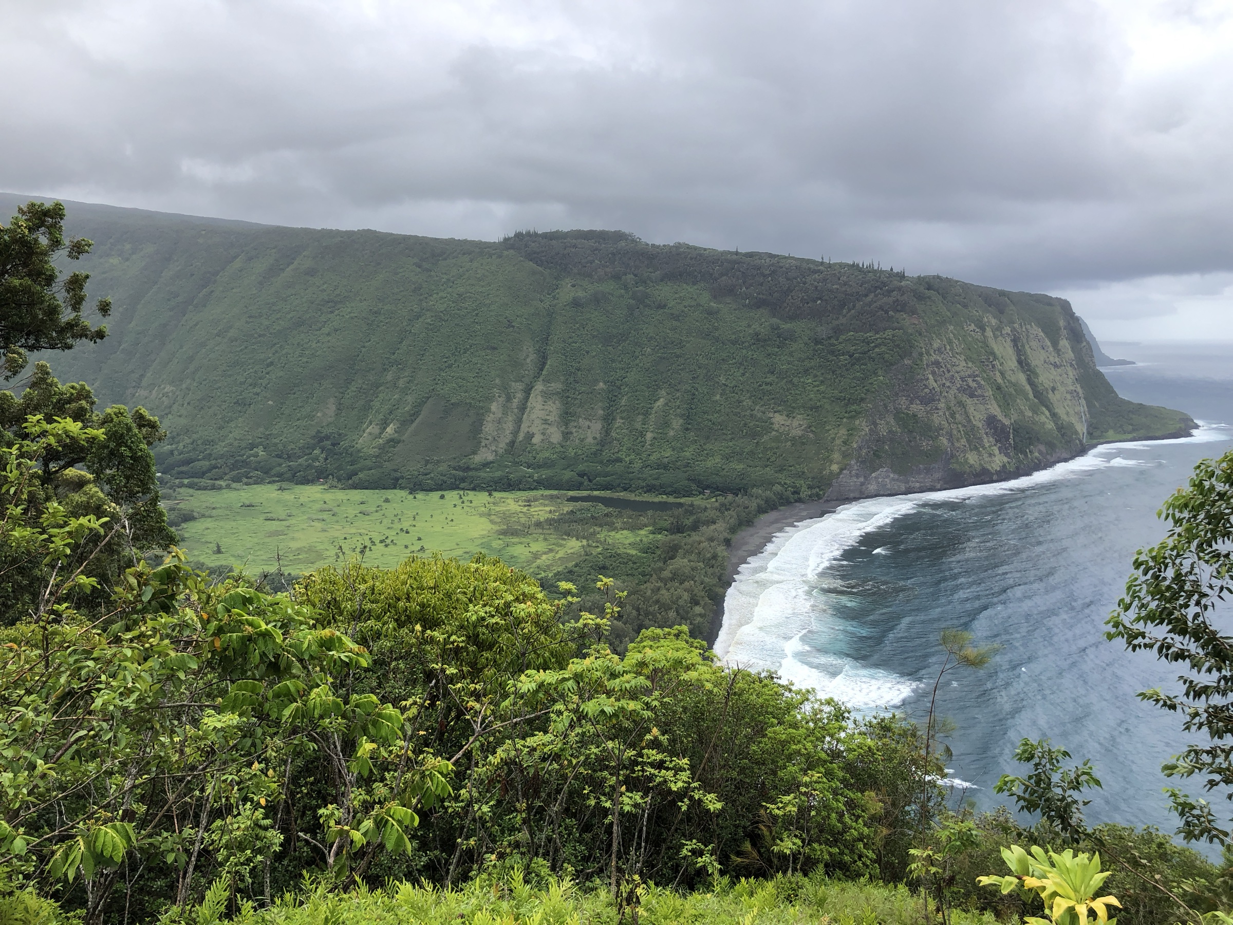
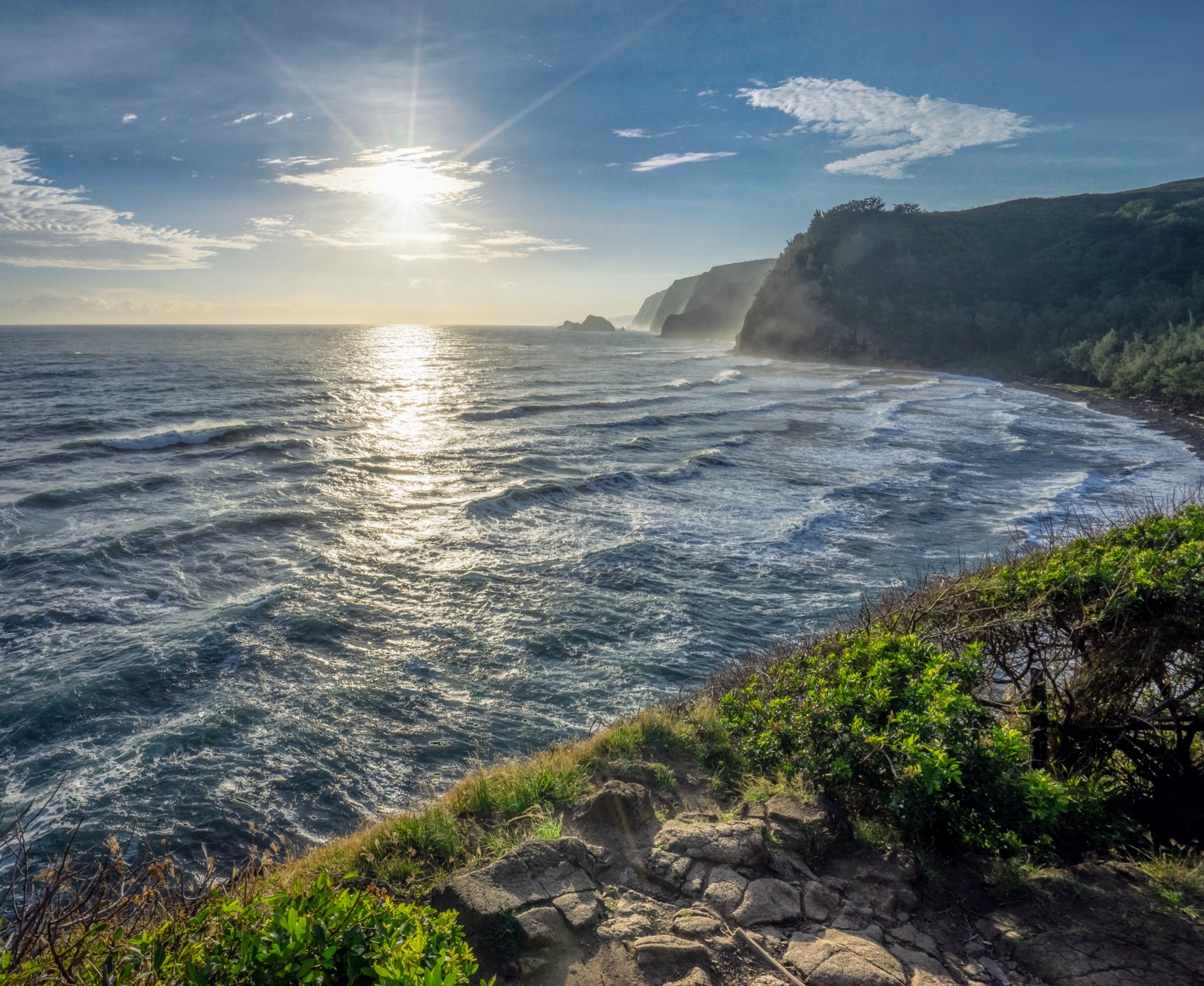
4. Puʻu ʻŌʻō and Powerline Loop
Snapshot
Itinerary
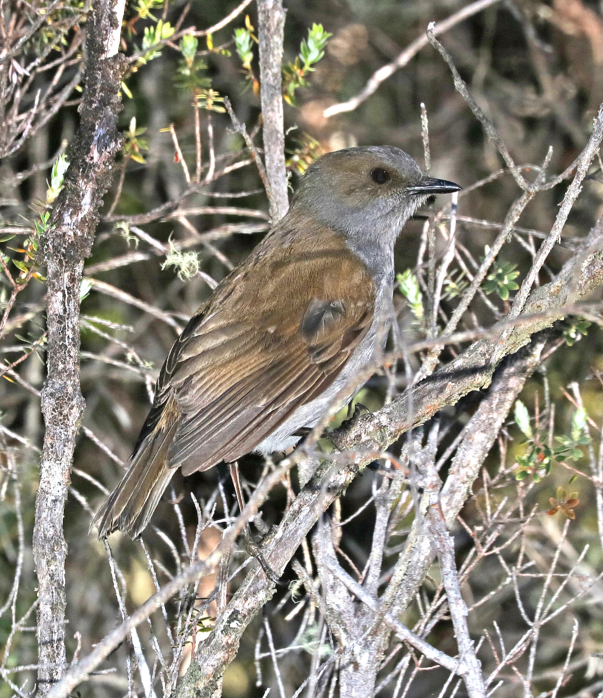
From the Saddle Road pull-off, follow the Puʻu ʻŌʻō Trail east through a sequence of native-forest kīpuka surrounded by old lava flows, then turn south onto the Powerline service track and complete the loop back to the road. The route crosses rough ʻaʻā lava in several places and threads through standing ʻōhiʻa-koa forest, with strong native bird presence — ʻŌmaʻo, ʻIʻiwi, ʻApapane and ʻAmakihi are all regularly recorded in the kīpuka. The longer Puʻu ʻŌʻō Trail out-and-back used in the Hāmākua and Waipiʻo highlands entry shares the same trailhead; this loop is the shorter, road-supported alternative.
Why it is essential
This loop is the representative forested Saddle Road walk on the Maunakea flank, and the only entry in this article that mixes native-forest kīpuka with rough lava-flow walking on a single day. It complements the high-altitude summit zone with a low-elevation native-ecology day at very different temperatures and weather.
Equipment
- Waterproof boots and gaiters; the lava breaks ankle bones if you misstep
- Full rain shell and a warm layer
- Water (2 L) and a snack
- Map / GPS — the loop crosses several intersections without strong signage
- Footwear cleaning before and after the walk to reduce Rapid ʻŌhiʻa Death spread
Hazards and notes
The name Puʻu ʻŌʻō is shared with the Kīlauea-area eruptive cone in Hawaiʻi Volcanoes National Park; this is a different feature in the Upper Waiākea Forest Reserve. Mud, low cloud and rain are routine. Follow current state Division of Forestry and Wildlife guidance on Rapid ʻŌhiʻa Death and avoid moving ʻōhiʻa wood or seeds.
GPX / KML links
| Source | URL | Format / access | Reuse status |
|---|---|---|---|
| AllTrails — Puʻu ʻŌʻō Short Loop | alltrails.com | Secondary route record | AllTrails terms; partial verification source |
| Hawaiʻi DLNR — Division of Forestry and Wildlife | dlnr.hawaii.gov | State forestry context | State website terms |
Further reading
5. Kaulana Manu Nature Trail
Snapshot
Itinerary
Walk the short interpretive nature trail at Kaulana Manu, a roadside birding stop on Saddle Road. The loop crosses native ʻōhiʻa-koa highland forest with interpretive signs naming the dominant native plants and birds; a quiet 30 minutes will typically pick up ʻApapane and ʻAmakihi calls and visual contact with native passerines in the canopy. The walk is also covered in the Hāmākua and Waipiʻo highlands entry as the easiest of the Saddle Road birding stops.
Why it is essential
Kaulana Manu is the most accessible native-forest birding walk anywhere on Maunakea’s flanks: 30 minutes, paved roadside parking, and a credible chance of native bird contact without leaving the trail. It is the canonical short ecological complement to the summit and Lake Waiau objectives at the other end of the article.
Equipment
- Closed shoes — wet forest after rain
- Light rain layer
- Binoculars are useful but not required
- Water (0.5 L)
- Clean footwear and gear before and after the walk to reduce Rapid ʻŌhiʻa Death spread
Hazards and notes
The trail is short but the highland forest is wet, cool, and weather-prone; do not expect roadside-park facilities or signage beyond the interpretive panels. Be quiet, stay on the path, and do not play recorded bird calls — the forest is sensitive habitat for native species under disease and predation pressure.
GPX / KML links
| Source | URL | Format / access | Reuse status |
|---|---|---|---|
| AllTrails — Kaulana Manu Nature Trail | alltrails.com | Secondary route record | AllTrails terms; partial verification source |
Further reading
Missing data / follow-up work
- No official downloadable GPX or KML files were located for any of the five routes; distance, ascent and time figures above come from AllTrails as a secondary source and should be verified against survey data when published.
- Maunakea Stewardship publishes safety, cultural-protocol and access notices but not standardised route geometry; check the summit weather, road status and any current closures before any walk above the Visitor Information Station.
- The Lake Waiau trailhead pull-off on the upper Mauna Kea Access Road requires four-wheel drive with low range; confirm rental restrictions before driving above the Visitor Information Station.
- The Puʻu Kalepeamoa / Sunset Hill route is informally signed; a future pass should record the trailhead waypoint and trail surface condition explicitly.
- No standalone licence-compatible image was located for the Kaulana Manu Nature Trail in this pass; the section runs without a figure block and should be re-illustrated when a Commons-licensed image is identified.
- Public transport access between Hilo / Kona and any of the Maunakea trailheads was not verified in this pass.
Further reading
| Source | URL |
|---|---|
| Maunakea Stewardship — Visitor Information Station | hilo.hawaii.edu |
| Maunakea Stewardship — Visitor Information | hilo.hawaii.edu |
| University of Hawaiʻi at Hilo — Center for Maunakea Stewardship | hilo.hawaii.edu |
| Hawaiʻi DLNR — Division of Forestry and Wildlife | dlnr.hawaii.gov |
| Hawaiʻi DLNR — Rapid ʻŌhiʻa Death | dlnr.hawaii.gov |
| Wikipedia — Mauna Kea | en.wikipedia.org |
| Wikipedia — Lake Waiau | en.wikipedia.org |
| Wikimedia Commons — Category:Mauna Kea | commons.wikimedia.org |
| AllTrails — Mauna Kea area trails | alltrails.com |