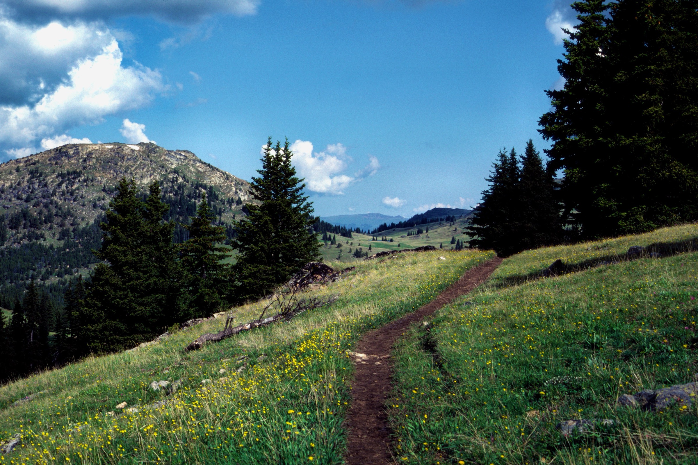
Regional overview
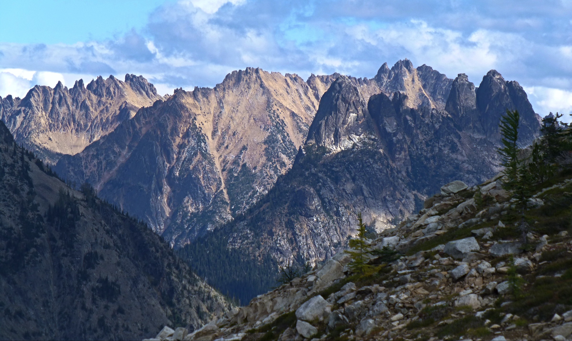
The Pasayten Wilderness is a remote, high and comparatively dry corner of Washington’s North Cascades, stretching north of the Methow Valley to the Canadian border across the Okanogan-Wenatchee National Forest. The character is more backpacking-oriented than most of the range, so the best day-hikes are usually either high-trailhead routes at the ends of long forest roads or deliberate day sections of longer wilderness trails.
Walking here is open, expansive and by North Cascades standards dry: burned forests, long valleys, broad passes, and unusually tundra-like alpine on the eastern rim near the border. Most trailheads sit at the end of long, rough gravel-road approaches; almost every route crosses burn areas with little shade, seasonal water gaps and limited signage. The practical season is usually July to early October on the high routes, with the lower Robinson Creek valley possible earlier and larch colour a strong reason to travel in late September to early October.
The wilderness is administered by the U.S. Forest Service. Wilderness permits are commonly self-issued for overnight use; day hikers still need to observe wilderness restrictions on group size, food storage, campfires and fire-season closures. Current forest-road status, wildfire restrictions and smoke conditions should be checked on the Okanogan-Wenatchee National Forest alerts page before travel; the Washington Trails Association (WTA) trip-report stream is the fastest secondary check on tread condition and water availability.
For neighbouring North Cascades hiking on the same road system and the adjacent east-side ranges, see the sister catalogue on Lake Chelan and the Eastern Cascades.
See also: Lake Chelan · Olympic Coast and rainforest valleys.
Selection rationale
The five routes below cover the essential Pasayten day-hike forms: an alpine-tundra basin (Horseshoe Basin from Iron Gate), a high-ridge / lake approach (Buckskin Ridge to Silver Lake), a lower valley spring route (Robinson Creek to Beauty Creek Falls), a deep wilderness-valley section (Andrews Creek to the 5.5-mile junction) and a strenuous summit (Windy Peak from Long Swamp). Route statistics come from Washington Trails Association pages, cross-checked against USFS wilderness context. Where WTA does not publish gain or maximum elevation for a specific day-section turnaround, those values are marked unresolved rather than inferred.
Summary
| # | Hike | Trailhead | Route type | Distance | Gain | Max elevation | Difficulty |
|---|---|---|---|---|---|---|---|
| 1 | Horseshoe Basin | Iron Gate | Out-and-back | 19.3 km | 472 m | 2,195 m | Moderate–hard |
| 2 | Buckskin Ridge to Silver Lake | Buckskin Ridge trailhead | Out-and-back day section | 15.1 km | Unresolved | <2,225 m | Moderate–hard |
| 3 | Robinson Creek to Beauty Creek Falls | Robinson Creek | Out-and-back day section | 9.0 km | ~305 m | 1,085 m | Moderate |
| 4 | Andrews Creek to the 5.5-mile junction | Andrews Creek | Out-and-back day section | 17.7 km | Unresolved | <2,042 m | Moderate–hard |
| 5 | Windy Peak | Long Swamp Campground | Out-and-back summit section | Summit turnaround not separately published; full trail 17.7 km one-way | Up to 1,234 m for full trail | 2,469 m | Hard |
1. Horseshoe Basin
Snapshot
Itinerary
From Iron Gate, the trail leaves the road end and crosses burn-scarred forest, reaching a tributary of Clutch Creek at about 1.5 miles. The route then climbs steadily toward Sunny Pass at ~4.8 miles and opens into Horseshoe Basin at about 6 miles — a broad, high alpine-tundra bowl of grass, wildflower meadow and scattered subalpine larch close to the Canadian border. Fit parties can continue on the Boundary Trail to extend the day; most turn around inside the basin.
Why it is essential
Horseshoe Basin is one of the Pasayten’s most distinctive day-accessible landscapes: broad, open, high and unusually tundra-like for the Lower 48, with grazing wildlife and a horizon that runs cleanly into Canada. It is the walk that most cleanly delivers the Pasayten’s eastern alpine character in a single day.
Equipment
- Sturdy hiking boots
- Trekking poles for the sustained but non-technical climb
- Sun hat, high-SPF sunscreen and sunglasses — very little shade
- Wind and warm layer for the basin
- Minimum 3 L water; treat any spring water on the route
- Real food for a long day
- Offline map and GPS
- Bear-aware food storage if turning the day into an overnight
- High-clearance vehicle strongly recommended for the spur road to Iron Gate
Hazards and notes
- Scarce water on the approach and hot, exposed conditions through the burned lower forest.
- Long, rough forest-road access to Iron Gate; low-clearance vehicles struggle in the last few miles.
- Afternoon thunderstorm and lightning exposure in the open basin.
- Wilderness restrictions on group size, campfires and food storage apply; dogs allowed on leash.
- Smoke and fire closures are a recurring summer risk on the east side of the Cascades.
GPX / route file
| Source | URL | Format | Notes |
|---|---|---|---|
| WTA — Horseshoe Basin (Pasayten) | wta.org | Web page + source map | Official distance, gain, max elevation and access notes; no GPX exposed |
| OpenStreetMap | openstreetmap.org | Source geometry | ODbL if extracted; usable for manual GPX creation |
Sources
2. Buckskin Ridge to Silver Lake
Snapshot
Itinerary
The day route follows the lower Buckskin Ridge Trail through alpine meadow and small stream drainages to Silver Lake at 4.7 miles. Beyond Silver Lake, the trail continues toward Silver Pass, Buckskin Lake and eventually the Pasayten River on a longer and more primitive line; the lake is the practical day-hike turnaround.
Why it is essential
This route delivers the ridge, meadow, lake and larch character of the western Pasayten in a single day, without committing to the full 33-mile through-route.
Equipment
- Sturdy hiking boots
- Trekking poles
- Sun hat, sunscreen and sunglasses
- Wind and warm layer
- Minimum 2.5–3 L water plus treatment
- Offline map and GPS
- Headtorch for a slow party
Hazards and notes
- Beyond Silver Lake, the trail becomes more primitive and less maintained; the catalogue route intentionally turns around at the lake.
- Insects can be significant in early-summer meadows.
- Fire closures and smoke risk from mid-summer onward.
- Wilderness restrictions apply.
GPX / route file
| Source | URL | Format | Notes |
|---|---|---|---|
| WTA — Buckskin Ridge | wta.org | Web page + source map | Silver Lake waypoint distance and full-trail high point; no GPX exposed |
| OpenStreetMap | openstreetmap.org | Source geometry | ODbL if extracted |
Sources
3. Robinson Creek to Beauty Creek Falls
Snapshot
Itinerary
From the Robinson Creek trailhead, the trail follows the creek up a low-elevation forested valley to the Beauty Creek Falls bridge at 2.8 miles / 3,560 ft. The onward Robinson Creek Trail continues much farther toward Robinson Pass, but the falls bridge is the practical day-hike turnaround and gives an early-season objective before the high routes open.
Why it is essential
This route is the Pasayten’s most reliable early-season entry, giving access to creek, waterfall, spring flowers and a historic travel corridor while the high basins are still snow-bound. It closes the catalogue’s seasonality gap between April snowshoe country and the mid-summer alpine.
Equipment
- Hiking boots or trail shoes
- Rain layer
- Minimum 1.5–2 L water
- Insect protection and tick check in spring and early summer
- Map and GPS if extending beyond the falls
Hazards and notes
- Higher sections beyond the falls involve creek fords or log crossings and snow later into the season; the catalogue turnaround is deliberate.
- Self-issued wilderness permits apply to the full onward route for overnight travel.
- Bugs can be significant in June.
- Watch for flash creek rises on warm-storm afternoons.
GPX / route file
| Source | URL | Format | Notes |
|---|---|---|---|
| WTA — Robinson Creek | wta.org | Web page + source map | Falls waypoint distance and elevation; no GPX exposed |
| OpenStreetMap | openstreetmap.org | Source geometry | ODbL if extracted |
Sources
4. Andrews Creek to the 5.5-mile junction
Snapshot
Itinerary
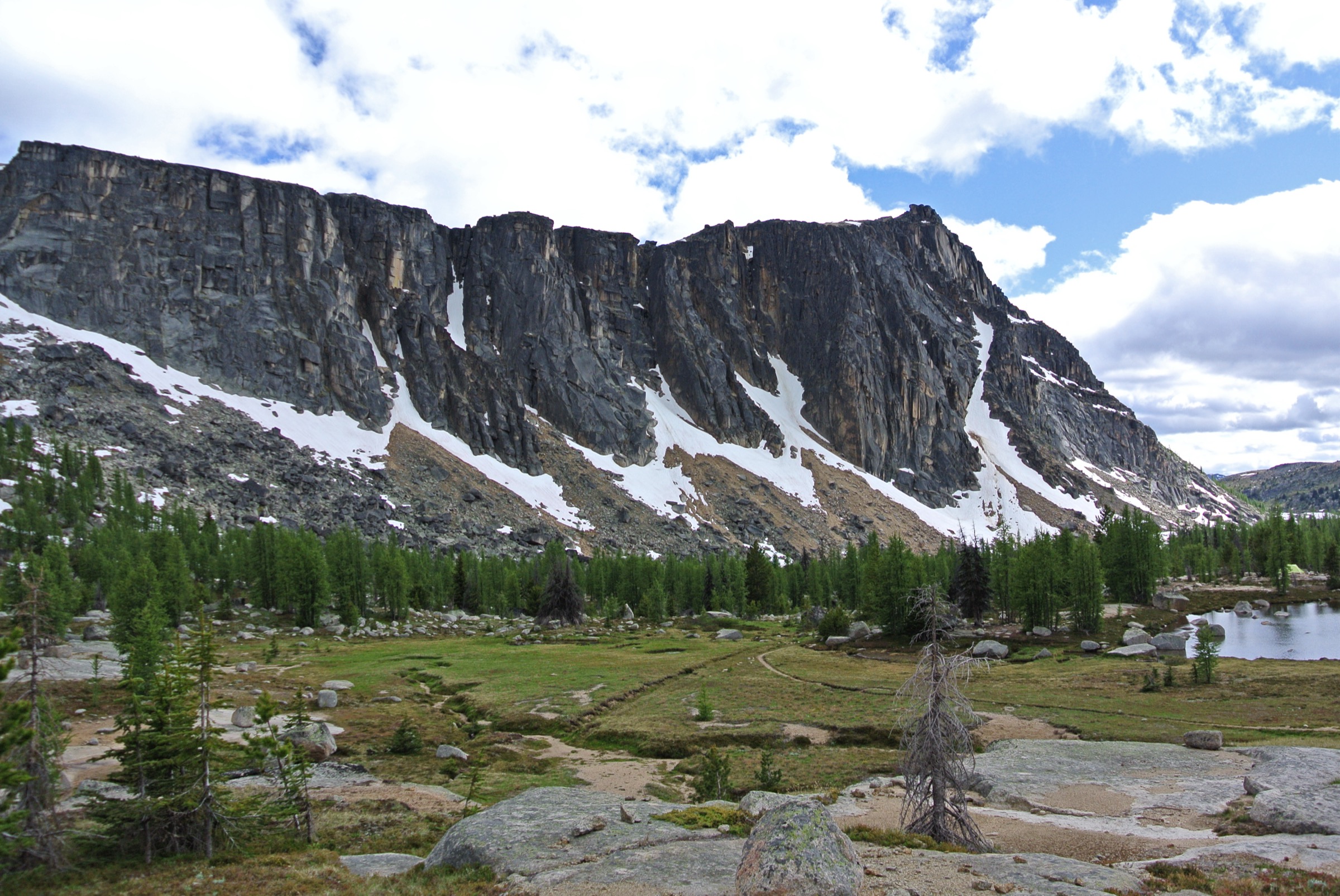
The route follows Andrews Creek between ridges, passing through burn-affected terrain with creek access and summer heat exposure. At 5.5 miles a junction is reached with views toward Black Lake Ridge. The full trail continues much farther — Peepsight, Andrews Pass, Spanish Creek meadows and the Boundary Trail — but the 5.5-mile junction is the day-hike turnaround.
Why it is essential
Andrews Creek is a classic deep-entry Pasayten valley and offers a long but non-technical day into the heart of the wilderness. It is the walk that most cleanly delivers the sense of scale — long straight valley bottoms, open burn regeneration, and views into a country where the nearest road is a full day away.
Equipment
- Sturdy hiking boots
- Trekking poles
- Sun hat, high-SPF sunscreen and sunglasses — burn areas are hot and exposed
- Minimum 3 L water; treat any creek water
- Headtorch for a slow party
- Offline map and GPS
Hazards and notes
- Burn areas are hot, exposed and can drop standing dead timber in high winds.
- The full 31-mile round-trip is not a normal day hike; this entry uses a shorter verified day section.
- Self-issued wilderness permits apply to overnight travel.
- Bear country — keep food handling clean even on a day trip.
GPX / route file
| Source | URL | Format | Notes |
|---|---|---|---|
| WTA — Andrews Creek | wta.org | Web page + source map | 5.5-mile junction reference and full-route high point; no GPX exposed |
| OpenStreetMap | openstreetmap.org | Source geometry | ODbL if extracted |
Sources
5. Windy Peak
Snapshot
Itinerary
The trail climbs from Long Swamp Campground for 2.5 miles to the Pasayten Wilderness boundary, then continues through burned lodgepole pine and open slopes toward Windy Peak at 2,469 m (8,100 ft). WTA identifies Windy Peak as a good stopping point for day hikers, although the trail continues onward toward the Boundary Trail and Horseshoe Basin.
Why it is essential
Windy Peak supplies the strenuous summit element for the Pasayten: broad wilderness views into Canada, burn-regeneration terrain, and one of the more prominent high points reachable from an eastern trailhead as a very long day.
Equipment
- Sturdy hiking boots
- Trekking poles
- Sun hat, high-SPF sunscreen and sunglasses
- Wind and warm layer for the summit
- Minimum 3.5–4 L water
- Real food for a long day
- Offline map and GPS
- Headtorch — parties will often finish in the dark
Hazards and notes
- Long, remote day with little shade through burn areas.
- Standing dead timber can drop in wind — avoid burn areas during high-wind afternoons.
- Afternoon thunderstorm and lightning exposure on the summit ridge.
- WTA does not separately publish the summit-turnaround mileage; treat statistics as approximate.
- Cell coverage is unreliable; self-rescue expectations apply.
GPX / route file
| Source | URL | Format | Notes |
|---|---|---|---|
| WTA — Windy Peak | wta.org | Web page + source map | Full-trail length, gain and Windy Peak summit height; no GPX exposed |
| OpenStreetMap | openstreetmap.org | Source geometry | ODbL if extracted |
Sources
Region-level sources
| Source | URL |
|---|---|
| USFS — Okanogan-Wenatchee National Forest | fs.usda.gov |
| USFS — Lake Chelan–Sawtooth Wilderness (adjacent) | fs.usda.gov |
| WTA — Horseshoe Basin (Pasayten) | wta.org |
| WTA — Buckskin Ridge | wta.org |
| WTA — Robinson Creek | wta.org |
| WTA — Andrews Creek | wta.org |
| WTA — Windy Peak | wta.org |
Further reading
- Lake Chelan and the Eastern North Cascades — essential day-hikes — the Highway 20 and Lake Chelan hikes south of the Pasayten, on the same forest-road network
- Stevens Pass / Alpine Lakes Wilderness — essential day-hikes — the wetter, higher-density trail network on the central Washington crest to the south
- Manning / Skagit — essential day-hikes — the Canadian counterpart directly across the Boundary Trail from Horseshoe Basin
Missing data / follow-up work
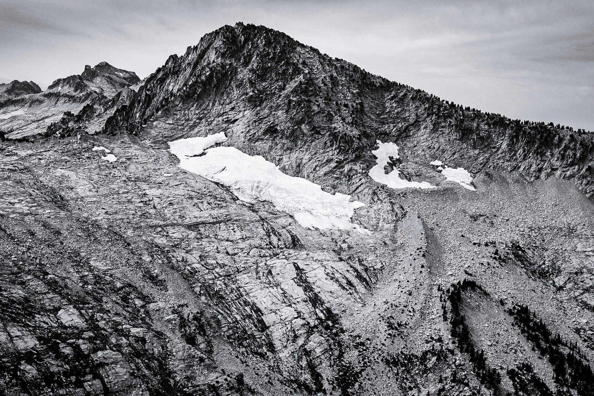
- Licence-compatible photos were sourced for the region cover (Horseshoe Basin) and for one deep-interior figure (Amphitheater Mountain from Cathedral Pass); route-specific images for Buckskin Ridge, Robinson Creek, Andrews Creek and Windy Peak remain unresolved.
- No official downloadable GPX or KML was retrieved for any of the five routes; route geometry can be reconstructed from OpenStreetMap against the WTA source maps.
- Buckskin Ridge, Andrews Creek and Windy Peak need topo-profile confirmation for the selected day-section elevation gain and exact maximum elevation at each turnaround.
- Windy Peak needs a precise summit-turnaround mileage from a map or GPS trace rather than the full 11-mile trail-end figure.
- Current forest-road conditions, wildfire restrictions, smoke and water availability require same-week confirmation before publication for a specific outing.