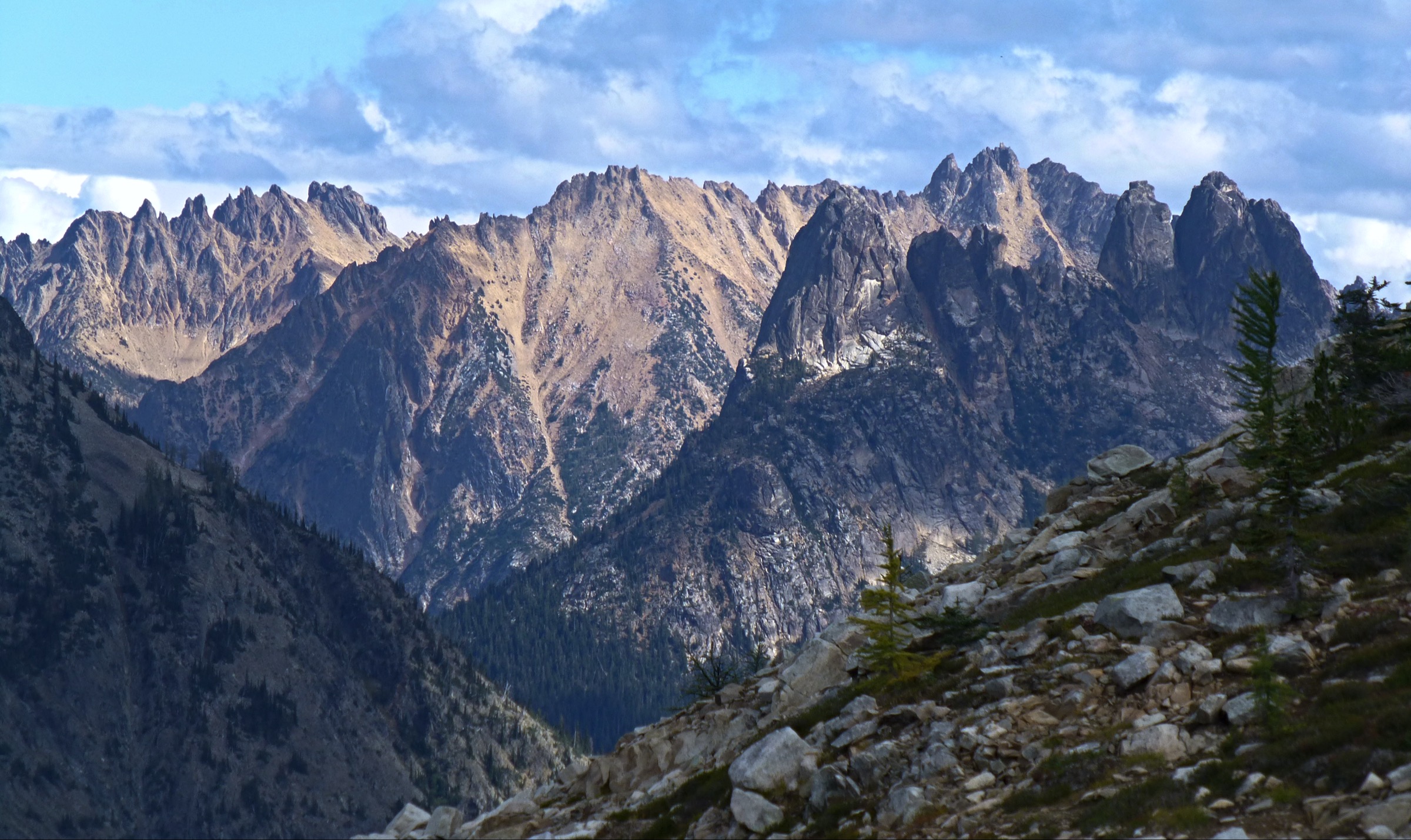
Regional overview
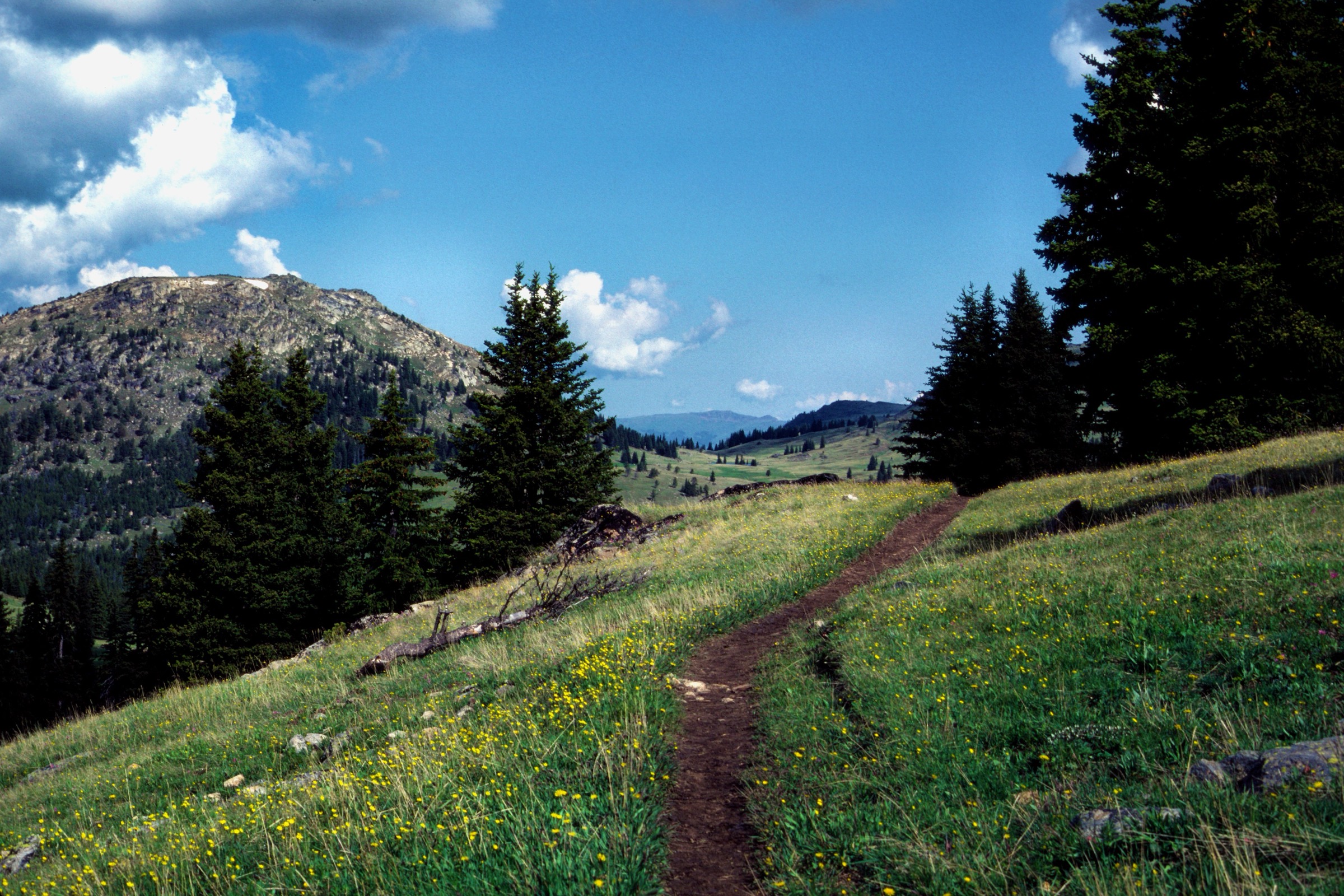
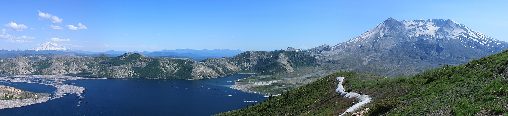
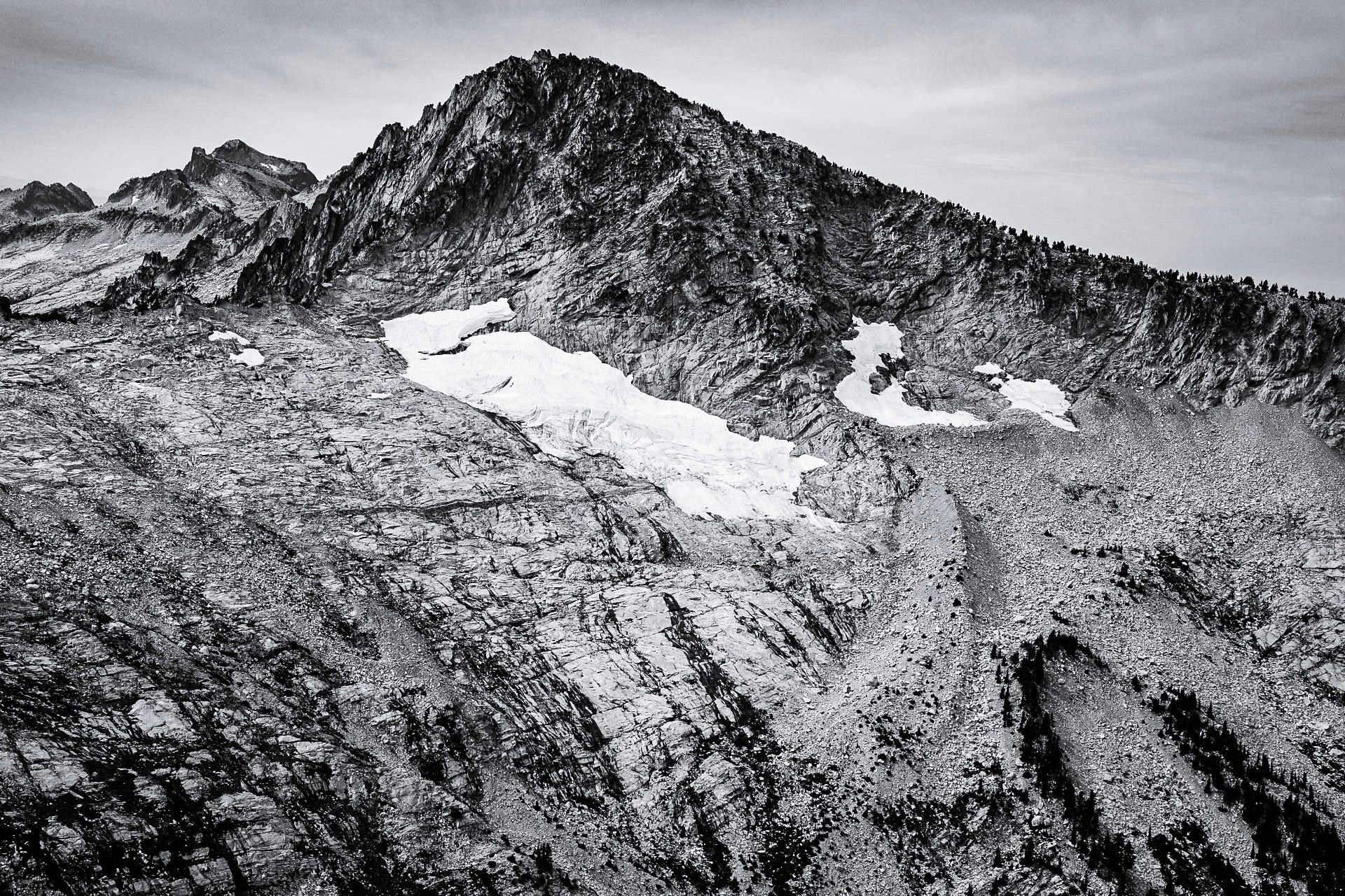
The eastern North Cascades span the dry Lake Chelan basin, the remote Stehekin / Lake Chelan National Recreation Area, and the high trailheads around Rainy Pass and Washington Pass. The walking character ranges from hot, exposed lake-view buttes to subalpine lakes, larch basins, granite spires and high passes on the Cascade crest.
The main hiking centres are Chelan and Stehekin for Lake Chelan access, and the Highway 20 corridor for Rainy Pass, Washington Pass and the Methow-side alpine trails. Stehekin has no road connection to the rest of Washington and is reached by foot, boat or plane; NPS notes limited services and no cell reception, with reservations important in the May–September season.
The typical season is late June to October, with higher trails often holding snow into early summer. The U.S. Forest Service describes the Lake Chelan–Sawtooth Wilderness as steep, lake-dotted high country where snow often persists from mid or late October through late June. Current fire restrictions and road / trail alerts should be checked before departure.
See also: Pasayten Wilderness, North Cascades · Olympic Coast and rainforest valleys.
Selection rationale
Five hikes cover the essential east-side North Cascades experience: a high alpine loop with larch basins (Heather–Maple Pass Loop), a short granite-basin lake (Blue Lake), a Cascade-crest pass day (Cutthroat Pass via Cutthroat Lake), a Stehekin valley viewpoint (Rainbow Loop), and a dry lake-facing summit (Chelan Butte). Route statistics come from Washington Trails Association pages; the Chelan Butte maximum elevation is approximate and should be reconfirmed against a topo source before travel.
Summary
| # | Hike | Trailhead | Route type | Distance | Gain | Max elevation | Difficulty |
|---|---|---|---|---|---|---|---|
| 1 | Heather–Maple Pass Loop | Rainy Pass trailhead, Highway 20 | Loop | 11.6 km | 616 m | 2,027 m | Moderate–hard |
| 2 | Blue Lake | Blue Lake trailhead, Highway 20 | Out-and-back | 7.1 km | 320 m | 1,906 m | Moderate |
| 3 | Cutthroat Pass via Cutthroat Lake | Cutthroat Lake trailhead | Out-and-back | 18.3 km | 701 m | 2,073 m | Hard |
| 4 | Rainbow Loop, Stehekin | Lower or upper Rainbow Loop trailhead | Point-to-point / loop variant | 7.1 km (10.6 km Harlequin loop) | 305 m | 671 m | Moderate |
| 5 | Chelan Butte | Chelan Butte trailhead, Chelan | Out-and-back | 12.0 km | 762 m | c. 1,130 m | Hard |
1. Heather–Maple Pass Loop
Snapshot
Itinerary
The loop leaves Rainy Pass and climbs through forest toward Lake Ann, Heather Pass and Maple Pass, crossing meadow and ridgeline terrain with views toward Black Peak, Goode, Corteo, Frisco, Stiletto and the Liberty Bell group. The upper traverse can hold snow late into the season. The descent returns through forest to the Rainy Lake paved path and the trailhead.
Why it is essential
This is the clearest single-day summary of the east-side North Cascades: larch basins, alpine meadows, high-pass views and a complete loop from a paved highway trailhead.
Equipment
- Sturdy boots and mountain layers
- Rain shell and warm mid-layer for the exposed upper traverse
- 2 L water — limited on the ridge
- Sun protection
- Trekking poles for the descent
- Microspikes for early- or late-season snow on the upper traverse
Hazards and notes
- Snow can persist on the upper traverse into July and return in early autumn.
- The route is exposed to fast weather changes and heavy weekend use.
- Parts of the loop approach or enter North Cascades National Park boundary areas; confirm current dog rules before bringing a dog.
- Highway 20 access is seasonal and subject to winter closure.
2. Blue Lake
Snapshot
Itinerary
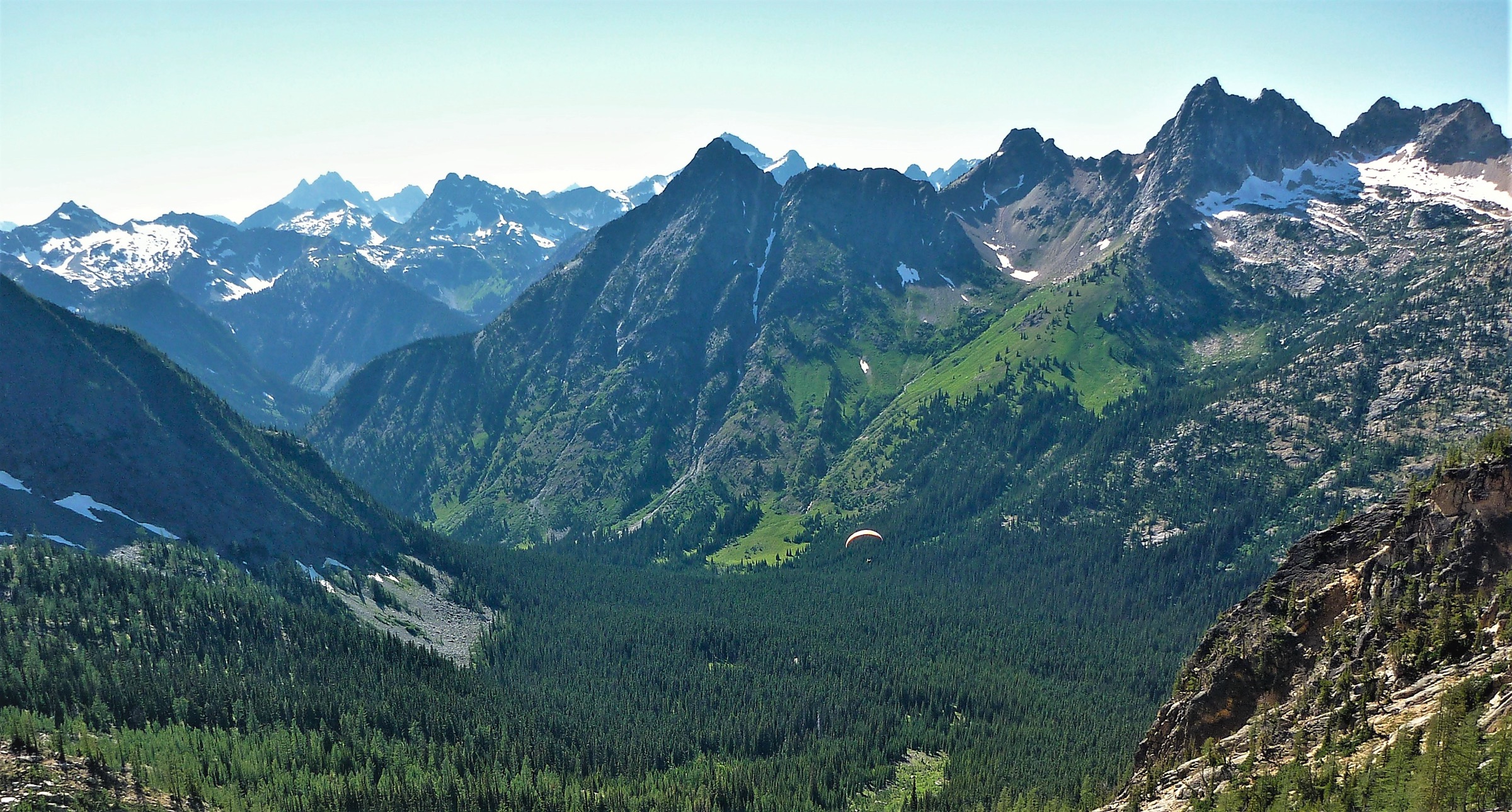
The path begins beside Highway 20, crosses short boardwalks, enters forest, and climbs through meadow and creek terrain toward Blue Lake. The final section opens to views of Cutthroat Peak, Whistler Mountain, the Early Winters Spires and the Liberty Bell group before reaching the lake basin.
Why it is essential
Blue Lake is a short, accessible granite-basin lake hike with a very high scenic return and clear Washington Pass character — the compact essential for the corridor.
Equipment
- Sturdy shoes
- Warm layer and rain shell
- Sun protection
- 1.5 L water
- Navigation backup
Hazards and notes
- Popular trailhead with limited parking; arrive early on summer weekends.
- Snow can linger into early summer; autumn snow can arrive early.
- Dogs listed as allowed on leash by WTA — confirm current land-manager rules before travel.
3. Cutthroat Pass via Cutthroat Lake
Snapshot
Itinerary
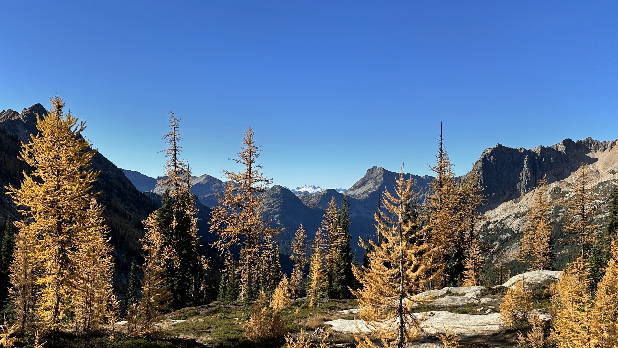
The route crosses Cutthroat Creek, climbs the valley wall past seasonal watercourses and granite boulders, then reaches the Cutthroat Lake junction. Beyond the lake spur, switchbacks gain the pass and meet the Pacific Crest Trail on the Skagit–Chelan county divide.
Why it is essential
Cutthroat Pass links an alpine lake, a high pass and the Pacific Crest Trail in one day, with strong east-side ridge and granite scenery.
Equipment
- Sturdy boots
- 3 L water — much of the flow is seasonal
- Sun protection for the exposed upper switchbacks
- Rain and wind layers
- Navigation backup
- Microspikes if snow lingers
Hazards and notes
- Seasonal water — top up at lower crossings.
- Upper switchbacks are exposed to sun and weather.
- Dogs listed as allowed on leash by WTA.
- Highway 20 access is seasonal.
4. Rainbow Loop, Stehekin
Snapshot
Itinerary
The route climbs from the lower Stehekin valley through a recovering burn area, crosses viewpoints over Lake Chelan, Rainbow Falls, the Buckner Orchard and the Stehekin River, then descends toward the upper trailhead. WTA notes that the route is more of a horseshoe than a true loop unless linked by road, bike, shuttle or the Harlequin variant.
Why it is essential
Rainbow Loop is the most practical short day-hike overview of Stehekin’s valley landscape, combining lake views, burn recovery, orchard history and access by ferry.
Equipment
- Standard hiking shoes
- Sun protection and a hat
- 2 L water
- Cash or card for the shuttle where applicable
- Map or GPS for the loop variant
Hazards and notes
- WTA has reported that the bridge over Rainbow Creek has been removed for repairs and that the ford may be risky — confirm current conditions before travel.
- Stehekin has no road access, limited services and no cell reception.
- Ferry and shuttle reservations are important in the May–September season.
5. Chelan Butte
Snapshot
Itinerary
The trail leaves Chelan on an exposed jeep-road and hiking-trail climb toward Elephant Head and the upper butte. Views expand over Lake Chelan, the town of Chelan, the Columbia River and the drier eastern approach to the Cascades. The final section reaches the ridge-top communications area and broad summit views.
Why it is essential
Chelan Butte represents the dry, open, lake-facing side of the region rather than the higher Cascade crest, with one of the clearest walking viewpoints over Lake Chelan.
Equipment
- Sturdy shoes with grip for dusty steep sections
- 3 L water — no shade or reliable water on the climb
- Sun hat and sunscreen
- Trekking poles
- Wind layer for the ridge
Hazards and notes
- The route is hot, exposed, dusty and steep — avoid summer heat where possible.
- No parking pass is listed by WTA; confirm current Chelan Wildlife Area rules before travel.
- Rattlesnake and tick season overlaps the best walking months.
Further reading
| Source | URL |
|---|---|
| WTA — Heather–Maple Pass Loop | wta.org |
| WTA — Blue Lake | wta.org |
| WTA — Cutthroat Pass via Cutthroat Lake | wta.org |
| WTA — Rainbow Loop | wta.org |
| WTA — Chelan Butte | wta.org |
| NPS — Stehekin visitor information | nps.gov |
| USFS — Lake Chelan–Sawtooth Wilderness | fs.usda.gov |
| Wikimedia Commons — Category: Maple Pass | commons.wikimedia.org |
| OpenStreetMap (ODbL 1.0) | openstreetmap.org |