Regional overview

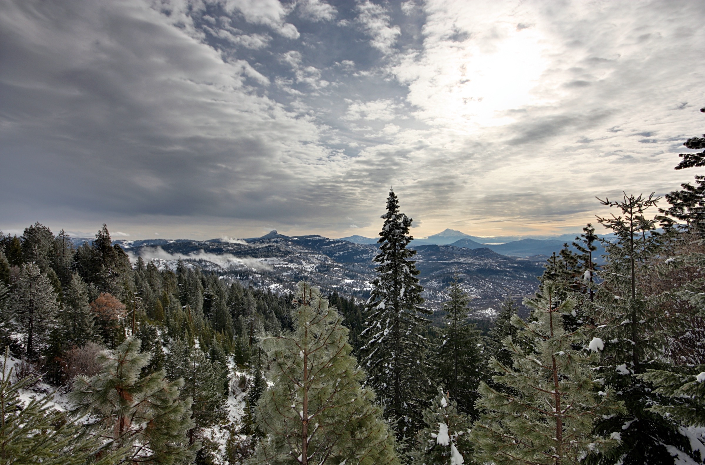
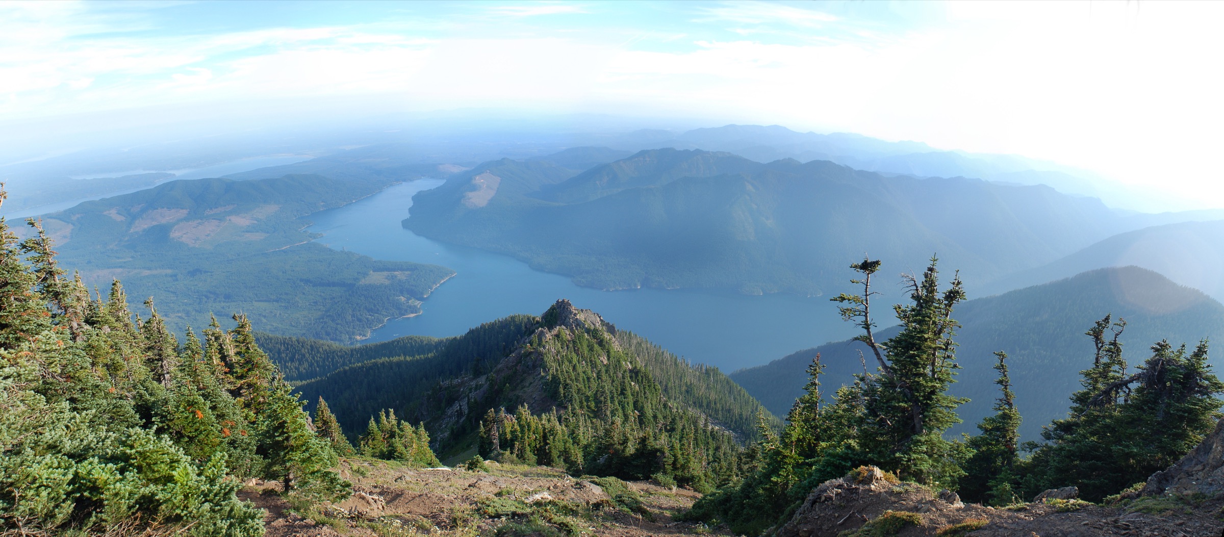
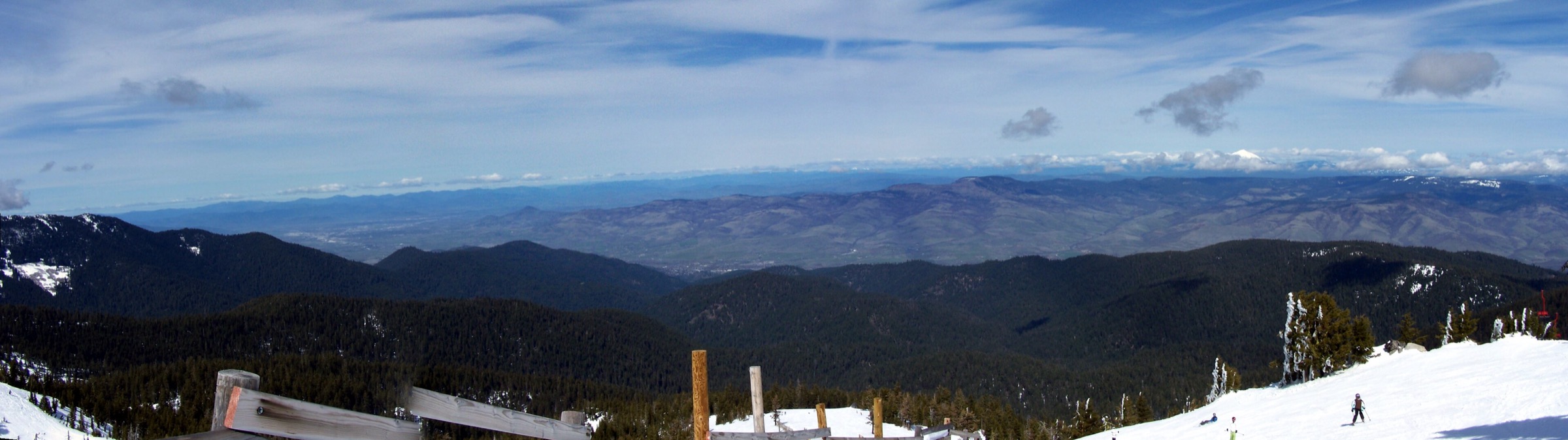
The Siskiyou Mountains form the southern arm of the Klamath–Siskiyou province, running east–west along the Oregon–California border between the Rogue Valley and the Klamath River. The east–west grain is unusual for a Pacific Coast range, and it matters: the crest works as a biotic bridge between the Cascades, the Sierra Nevada and the Coast Ranges, and as a refugium where northern and southern floras overlap. The bedrock is a collage of accreted terranes — granite, marble, and above all peridotite and serpentinite — reaching back into the Palaeozoic, and hundreds of millions of years older than the young volcanic Cascades that abut the range at Siskiyou Pass. The Klamath–Siskiyou is a global maximum for temperate conifer diversity, with counts usually given as around 30 species depending on where the ecoregion boundary is drawn; published figures range from 29 to 32. Brewer’s spruce (Picea breweriana) and Port Orford cedar are among the near-endemics.

Walking here is organised around the crest itself and the wilderness cores hung off it. The Red Buttes Wilderness straddles the state line at the heart of the range, its twin peaks built of green peridotite that oxidises to an orange-red crust — split a rock on the trail and it is still green inside. The Siskiyou Wilderness to the west holds the granite cirques, of which Devil’s Punchbowl is the finest. Oregon Caves National Monument & Preserve protects a marble cave system and the montane meadows above it. On the eastern edge, the BLM’s Cascade-Siskiyou National Monument covers the ground where the Siskiyous meet the Cascades, with Pilot Rock as its landmark. The Pacific Crest Trail runs the length of the crest and supplies several of the best walking lines.

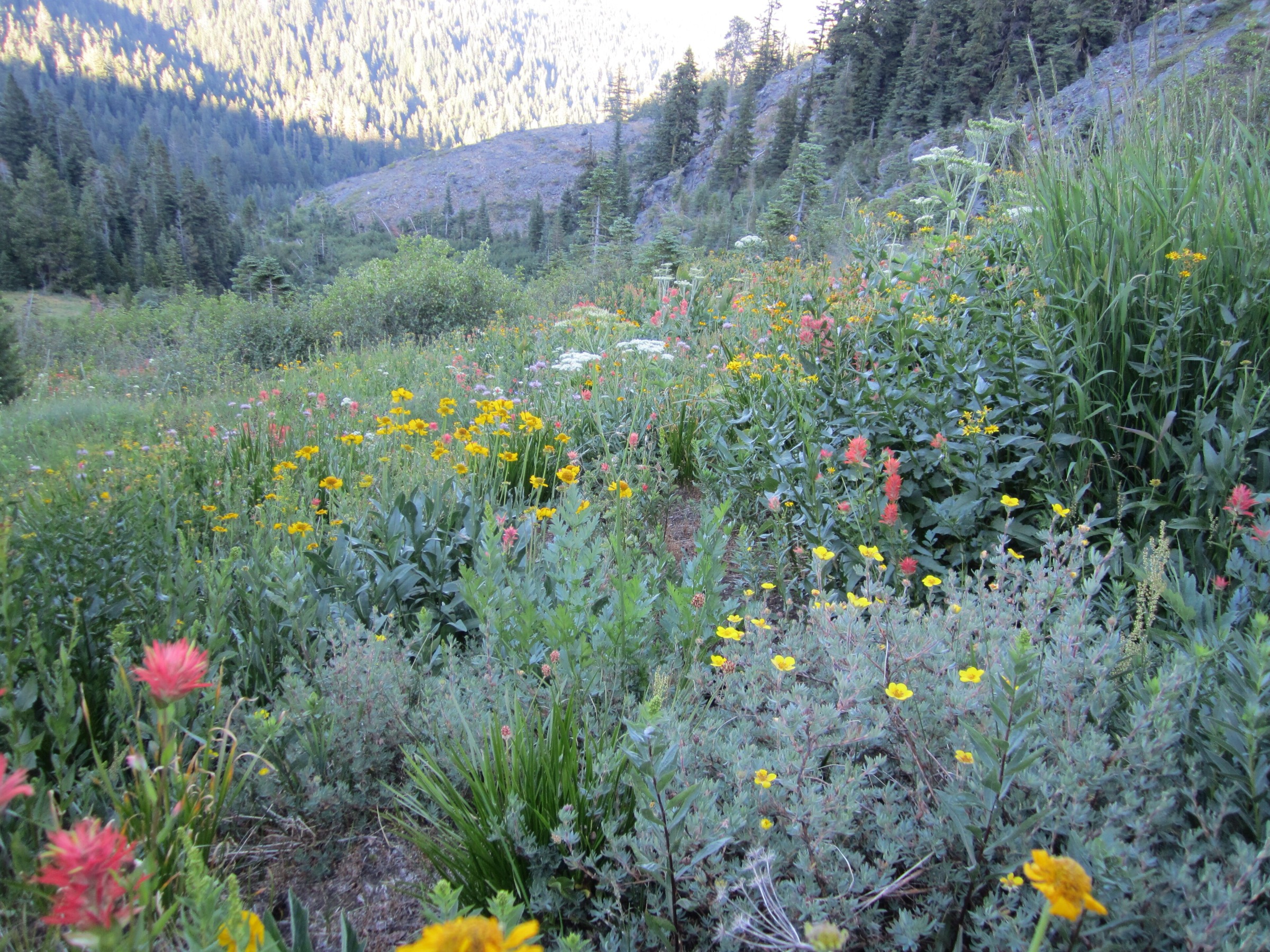
The serpentine story is what distinguishes this range from anywhere else in the Pacific Northwest. Ultramafic soils are nutrient-poor, magnesium-rich and toxic to most plants, so forest thins to open Jeffrey pine savanna, stunted scrub and bare rock — which is precisely why the crest routes have such long views. The same soils support a dense concentration of rare endemics and serpentine fens. Where the substrate switches to granite or marble, the vegetation switches with it, sometimes within a single kilometre.

Access is from Interstate 5 at Ashland and Medford on the Oregon side, from Highway 199 through Cave Junction and the Illinois Valley to the west, and from Highway 96 along the Klamath River in California. Every trailhead in this article needs a private vehicle; no scheduled transport reaches any of them, and several are at the end of long gravel forest roads. The reliable season runs late June to mid-October. Fire has reshaped parts of this range in the last decade — the 2020 Slater Fire burned over the crest near Bolan Lake, and the 2017 Abney Fire burned around Cook and Green Pass — and forest-wide fire restrictions have been in force through the summer of 2026 following a record-low winter snowpack. Check current forest orders before travelling.

Selection rationale

The five routes below deliberately cross all three of the range’s basements — granite, serpentine and marble — because that contrast is the Siskiyous in miniature. Wagner Butte is the iconic summit at the Oregon end, a former lookout site above the Rogue Valley reached across a spectacular 1983 landslide. Devil’s Punchbowl is the region’s outstanding glacial cirque, a tarn set in bare granite slabs deep in the Siskiyou Wilderness. The Pacific Crest Trail from Cook and Green Pass to Lily Pad Lake is the crest walk, running the serpentine margin of the Red Buttes Wilderness with a chromite-mining history alongside it. The Bigelow Lakes–Mount Elijah loop at Oregon Caves climbs from old-growth forest and marble outcrops to a subalpine summit, and is the botanical route of the set. Pilot Rock closes it as the cultural landmark — the andesite plug that piloted Applegate Trail migrants to the pass, and which five million drivers a year still pass beneath on I-5.

Several strong candidates were displaced. Azalea Lake in the Red Buttes is excellent but adds a second lake basin to a set that already has one, and the Red Buttes are better represented by a crest route than a lake. Grayback Mountain, the highest of the Oregon Siskiyous, duplicates Mount Elijah’s ridge character and its access road is under repair through September 2026. Preston Peak is a fine objective but is a long, partly off-trail Class 2–3 outing that fails the non-technical day-hike test. Buck Lake is a short bolt-on to the Devil’s Punchbowl approach rather than a route in its own right.

Summary

# Hike Country Route type Distance Gain Max elevation Difficulty
1 Wagner Butte Trail #1011 USA Out-and-back 16.7 km 670 m 2,176 m Moderate–hard
2 Devil’s Punchbowl USA Out-and-back 14.2–15.4 km ~665 m 1,475 m Hard
3 PCT: Cook and Green Pass to Lily Pad Lake USA Out-and-back ~12.4 km ~400 m ~1,830 m Easy–moderate
4 Bigelow Lakes – Mount Elijah Loop USA Loop 14.8 km 728 m 1,948 m Hard
5 Pilot Rock USA Out-and-back 4.5–4.8 km 250–310 m 1,801 m Easy–moderate

1. Wagner Butte Trail #1011

The Forest Service fire lookout on the summit of Wagner Butte, photographed in 1942
The Wagner Butte fire lookout in 1942, on the granite summit blocks. The cupola-style replacement was removed in the 1970s; only foundations and a railing remain today. Photo: U.S. Forest Service – Pacific Northwest Region, public domain, via Wikimedia Commons. No modern open-licence photograph of Wagner Butte was found in this pass.

Snapshot

CountryUSA — Oregon
Sub-regionRogue River–Siskiyou NF, Siskiyou Mountains Ranger District (not designated wilderness)
StartWagner Butte Trailhead, Forest Road 22 above Talent (42.115, −122.799); ~1,506 m
FinishSame as start
Route typeOut-and-back on Trail #1011
Distance16.7 km (10.4 mi); AllTrails gives 15.6 km / 9.7 mi
Elevation gain~670 m (2,200 ft)
Elevation lossOut-and-back; loss mirrors gain
Maximum elevation2,176 m (7,140 ft) at the lookout site; a second source gives 2,169 m
Estimated time5.5–6 hours
DifficultyModerate–hard — sustained climb, a landslide crossing, and a short granite scramble at the top
Best seasonJune to October (official Forest Service season)
Permits / accessNo permit and no fee; the Forest Service trailhead page states "Fee Site: No". No Northwest Forest Pass required
Public transportNone — private vehicle required
Verification statusRoute, statistics and access verified against the official USFS trail and trailhead pages; distance and gain vary between sources; no modern open-licence photo found

Itinerary

The trail leaves Forest Road 22 among ponderosa pine and follows an abandoned roadbed for the first 1.9 km to the edge of the Sheep Creek Slide — a massive landslide that in May 1983 carried some 400,000 tonnes of the mountain four miles down the Sheep Creek drainage. The trail crosses it directly; the ground is now well revegetated, but the Forest Service does not recommend stock on this trail because of the difficulty of the crossing. Beyond the slide the old road gives way to trail, which climbs steeply for roughly 3 km through meadows and creek crossings under old-growth Douglas-fir, noble fir and white fir, with deer and bear frequently seen in the glades.

The trail reaches a four-way junction at Wagner Glade Gap. Take the left-hand trail: straight ahead is the Wagner Glade Trail into the Ashland Municipal Watershed, and right runs 3 km to Split Rock. From the gap the route ascends gradually across the western flank for about 3 km, entering a markedly drier zone of sagebrush and mountain mahogany, and finishes with a short scramble over granite boulders to the rocky outcrop that held the fire lookout. The summit panorama takes in Ashland and the Bear Creek and Rogue valleys, the Little Applegate, Mount McLoughlin and the Crater Lake rim peaks to the east, and Mount Ashland and Mount Shasta to the south — often standing above a winter valley inversion. The lookout outcrop sits about 5 m below the true summit, which lies roughly 1.2 km south along the ridge and can be added on the return.

Why it is essential

Wagner Butte is the signature summit of the Oregon Siskiyous and the most complete single view of the range’s eastern end. A lookout stood here from the 1920s until the 1970s, when aerial fire detection made it redundant, and the mountain carries the name of Jacob Wagner, an early settler who ran the flour mill by the Ashland plaza. The Sheep Creek Slide gives the route a piece of raw, recent geology that few summit trails can match.

Equipment

  • Sturdy boots; the summit blocks require hands.
  • 3 L of water minimum. There is no water on the route — the Forest Service states plainly that water at this trailhead is “not available”, and any surface water must be treated.
  • Sun protection and a sun hat; this is a dry, south-facing climb with long exposed stretches.
  • Wind shell and a warm layer for the summit.
  • Map and GPS; the four-way junction at Wagner Glade Gap is the one place to get it wrong.

Hazards and notes

  • No water anywhere on the route. Carry everything.
  • Heat and sun exposure on the upper mountain; start early in July and August.
  • The Sheep Creek Slide crossing is straightforward on foot but is loose, open ground.
  • Short scramble over granite boulders at the lookout site.
  • Black bears are present in the glades.
  • Forest-wide Stage 1 public-use fire restrictions have been in force on the Rogue River–Siskiyou NF since 19 June 2026 (Order 06-10-01-26-02).
  • The Ashland Municipal Watershed, which the Wagner Glade Trail enters from the gap, is subject to a standing camping and fire prohibition. The Wagner Butte route turns away from it.

Routes and maps

Source URL Format / access Reuse status
USFS — Wagner Butte Trail #1011 fs.usda.gov Official trail page Public information
USFS — Wagner Butte Trailhead fs.usda.gov Official trailhead page, with coordinates Public information
Oregon Hikers — Wagner Butte Hike oregonhikers.org Field-guide description Public reference
AllTrails — Wagner Butte Trail alltrails.com GPX (subscription) AllTrails terms; reference only
OpenStreetMap openstreetmap.org OSM XML / GPX export ODbL 1.0; reusable with attribution

No official Forest Service GPX or KML was found for this route.

Further reading

2. Devil’s Punchbowl

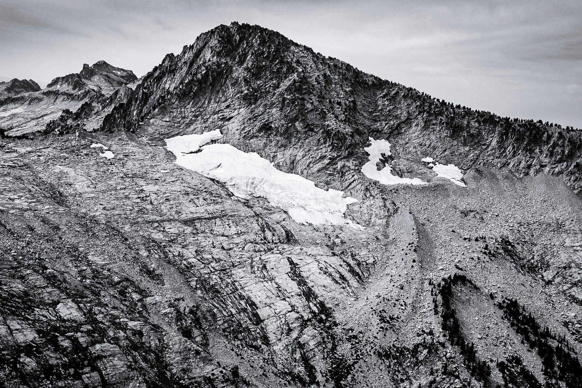
The Devil's Punchbowl, a granite cirque tarn in the Siskiyou Wilderness
The Devil's Punchbowl — a glacial cirque tarn held in bare, pale granite slabs and talus in the Siskiyou Wilderness. Photo: Jsayre64, CC BY-SA 4.0, via Wikimedia Commons.

Snapshot

CountryUSA — California
Sub-regionSiskiyou Wilderness; starts on Six Rivers NF (Smith River NRA), most of the trail on Klamath NF
StartDoe Flat Trailhead, end of FS 16N02 (~13.5 km of forest road off Highway 199); ~1,006 m
FinishSame as start
Route typeOut-and-back on the Doe Flat Trail #4E04 and the Devil's Punchbowl Trail
Distance14.2 km (8.8 mi) per the Forest Service; AllTrails gives 15.4 km / 9.6 mi
Elevation gain~470 m net, but roughly 665 m (2,180 ft) cumulative — the trail descends for the first kilometre before it climbs
Elevation lossOut-and-back; loss mirrors gain
Maximum elevation1,475 m (4,840 ft) — but Forest Service pages disagree; see hazards below
Estimated time5.5–6 hours
DifficultyHard — the Forest Service describes the final climb simply as "very steep"
Best seasonJuly to mid-October; the access road is usually snowbound from November until mid-June
Permits / accessNo day-use wilderness permit; no fee. A California Campfire Permit is required for any stove
Public transportNone — private vehicle essential
Verification statusRoute verified against three official USFS pages, which disagree with each other on elevations; photo licence verified; no official GPX

Itinerary

From the Doe Flat Trailhead the route descends along an old roadbed for about 1 km before becoming trail and climbing gently through forest. At roughly 2.4 km the Buck Lake Trail branches off — Buck Lake lies 300 m further and makes a worthwhile short detour. At about 5.2 km the trail forks at the Punchbowl turn-off. Bearing left leads onto the Clear Creek National Recreation Trail and Trout Camp; the route takes the sharp right.

From the fork the Devil’s Punchbowl Trail climbs steeply and almost continuously for about 1.6 km on rocky ground, gaining some 400 m as trees give way to subalpine scrub. It arrives at the Punchbowl itself: a glacial cirque tarn held in a bowl of pale, exfoliating granite slabs and talus, backed by cliffs, with a second, lower tarn below it beneath Bear Mountain. The Forest Service notes that no camping is possible at the trail’s end and directs campers back to Trout Camp; treat the cirque as a day-visit destination.

Why it is essential

The Punchbowl is the finest glacial cirque in the Siskiyous and the clearest expression of the range’s granite basement — bare rock, deep water, and a wall of cliffs, with none of the forest cover that hides the geology elsewhere. It is also a genuinely remote objective reached on a long forest road, which keeps the crowds down.

Equipment

  • Mountain hiking equipment: sturdy boots with edge for rock, trekking poles for the steep descent.
  • 2–3 L of water; there is none at the trailhead, and surface water must be treated.
  • Warm layer and wind shell for the cirque rim.
  • Headtorch — this is a long day and the final descent is rocky.
  • Map, compass and GPS. The fork at 5.2 km is the critical junction.
  • Boot and tyre cleaning discipline for Port-Orford-cedar root disease, which is actively managed on these roads.

Hazards and notes

  • The Forest Service’s own pages disagree on the elevations here. The Devil’s Punchbowl Trail page gives a 1,006 m trailhead and a 1,475 m trail end; the Doe Flat Trail page gives 1,036 m and 1,433 m; the Doe Flat Trailhead page appears to have its figures inverted. Treat all elevation numbers on this route as approximate.
  • The final kilometre is very steep, loose and rocky.
  • Snow lingers into July in the cirque after heavy winters.
  • Remote: the nearest help is the Smith River NRA office, and there is no mobile coverage.
  • The southern road approach via FS 16 / 16N02 (Ship Mountain) is gated in the wet season for snow and Port-Orford-cedar root disease, generally mid-October to mid-June. The northern approach has an administrative gate 13.7 km from Highway 199 that may close for hazardous conditions.
  • Six Rivers NF fire restrictions (Order 10-26-05) run 3 July to 16 November 2026. Campfires and stoves remain permitted inside designated wilderness under that order, but a California Campfire Permit is still required for a stove.

Routes and maps

Source URL Format / access Reuse status
USFS — Devil’s Punchbowl Trail fs.usda.gov Official trail page Public information
USFS — Doe Flat Trail #4E04 fs.usda.gov Official trail page Public information
USFS — Doe Flat Trailhead fs.usda.gov Official trailhead page and road directions Public information
USFS — Siskiyou Wilderness fs.usda.gov Official wilderness page Public information
Hiking Project — Devils Punchbowl Trail hikingproject.com GPX download onX/REI terms; personal use
OpenStreetMap openstreetmap.org OSM XML / GPX export ODbL 1.0; reusable with attribution

No official Forest Service GPX or KML was found for this route.

Further reading

3. Pacific Crest Trail: Cook and Green Pass to Lily Pad Lake

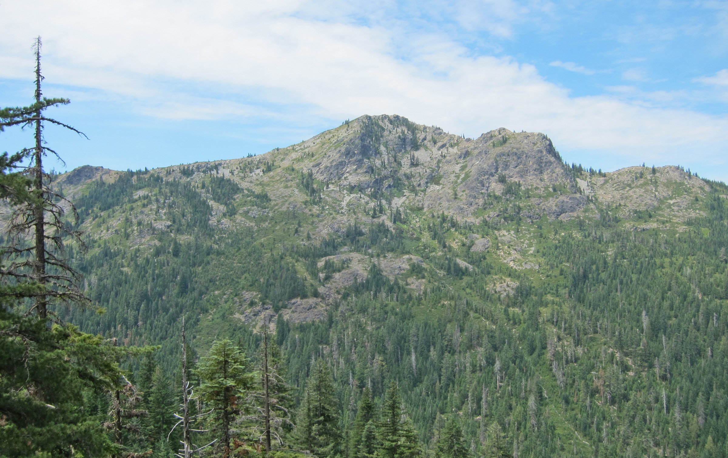
Pyramid Peak in the Red Buttes Wilderness, Rogue River–Siskiyou National Forest
Pyramid Peak in the Red Buttes Wilderness — the kind of open, rocky, sparsely wooded crest country the Pacific Crest Trail traverses west of Cook and Green Pass. Photo: Brian Long / U.S. Forest Service – Pacific Northwest Region, public domain, via Wikimedia Commons. This is Pyramid Peak, not the Red Buttes themselves; no free high-resolution colour photograph of the Red Buttes was found in this pass.

Snapshot

CountryUSA — California (trailhead just south of the Oregon line)
Sub-regionKlamath NF, Happy Camp/Oak Knoll Ranger District; along the margin of the Red Buttes Wilderness
StartCook and Green Pass Trailhead (41.94178, −123.14517); ~1,450 m
FinishSame as start
Route typeOut-and-back along the Pacific Crest Trail, westbound
Distance~12.4 km (7.7 mi) — approximate; no official Forest Service figure exists for this segment
Elevation gain~400 m (1,300 ft) — approximate
Elevation lossOut-and-back; loss mirrors gain
Maximum elevation~1,830 m (about 6,000 ft) — approximate, from a first-hand report rather than an official source
Estimated time4–5 hours
DifficultyEasy–moderate — a gradual crest climb on good tread, but fully exposed
Best seasonSummer into autumn; snow-affected earlier
Permits / accessNo permit and no fee. The Northwest Forest Pass does not apply in California. A California Campfire Permit is required for a stove
Public transportNone — private vehicle required on long forest roads
Verification statusRoute verified from regional sources and a detailed first-hand report; no official USFS distance or elevation figure exists for this segment; photo is of Pyramid Peak, not the Red Buttes

Itinerary

The route leaves Cook and Green Pass westbound on the Pacific Crest Trail, at first through trees scorched but not killed by the 2017 Abney Fire; fire-killed stands are visible looking back east toward the pass. The PCT climbs steadily up and around a ridge to the first view of the twin Red Buttes, with Kangaroo Mountain to their left, then settles into long open traverses with wide views south to Mount Shasta.

At about 4 km the trail reaches a saddle and the junction with the Horse Camp Trail #958, with Echo Lake below and Grayback Mountain visible to the north. Beyond the saddle the PCT crosses an old mine road, curves around Bee Camp, and reaches Lily Pad Lake — carpeted with water lilies from mid-summer, open water early and late in the season. Above the lake the trail brushes the end of the mine road, marked by a low stone wall and a gate, with long views over the lake toward Mount Shasta on a clear day. Return along the PCT, or vary the walk back on the old road, which parallels it.

The mine road was cut in the late 1930s or early 1940s to reach a chromite deposit in Hello Canyon. The mine was never developed, and its site now lies inside the Red Buttes Wilderness — but the road corridor itself does not, which is why it survives.

Why it is essential

This is the crest walk of the Siskiyous and the best place to read the serpentine story on the ground. The Red Buttes are peridotite: green on fresh fracture, oxidised to an orange-red crust on the outside, and the poor ultramafic soils are exactly why the vegetation is stunted and the views are so long. The route also makes a point worth understanding — the wilderness boundary runs along the crest through the Red Buttes themselves, so the trail looks into the wilderness rather than walking in it, and the unprotected corridor alongside carries an active mining-claim history.

Equipment

  • Standard mountain hiking equipment; the tread is good.
  • 2–3 L of water. There is none at the trailhead, and Lily Pad Lake is lily-choked and not a reliable source. Carry everything.
  • Full sun protection — the crest is open, with no shade for most of the walk.
  • Wind shell; the crest catches weather.

Hazards and notes

  • The statistics for this segment are the least well-sourced in this article. No official Forest Service distance or elevation figure exists for it; the numbers above come from regional hiking sources and a detailed first-hand report.
  • No water, no shade, full exposure. This is a hot walk in July and August.
  • Fire-killed snags stand near the trailhead; avoid them in high wind.
  • Do not attempt the Red Butte summit from the trail. There is no path to the top; the approach involves manzanita thickets and boulder-hopping, and it falls outside the scope of a day hike.
  • Long, rough forest-road approach from either Oregon or California — allow about 90 minutes from Medford.
  • Klamath NF forest-wide fire restrictions took effect on 18 June 2026, prompted by a record-low winter snowpack.

Routes and maps

Source URL Format / access Reuse status
USFS — Cook and Green Pass Trailhead (Klamath NF) fs.usda.gov Official trailhead page Public information
USFS — Red Buttes Wilderness fs.usda.gov Official wilderness page Public information
Oregon Hikers — Cook and Green Pass Trailhead oregonhikers.org Trailhead description and coordinates Public reference
Hiking Project — Red Buttes / Boundary Trail hikingproject.com GPX download onX/REI terms; personal use
OpenStreetMap — Pacific Crest Trail relation openstreetmap.org OSM XML / GPX export ODbL 1.0; reusable with attribution

No official Forest Service GPX or KML was found for this segment.

Further reading

4. Bigelow Lakes – Mount Elijah Loop

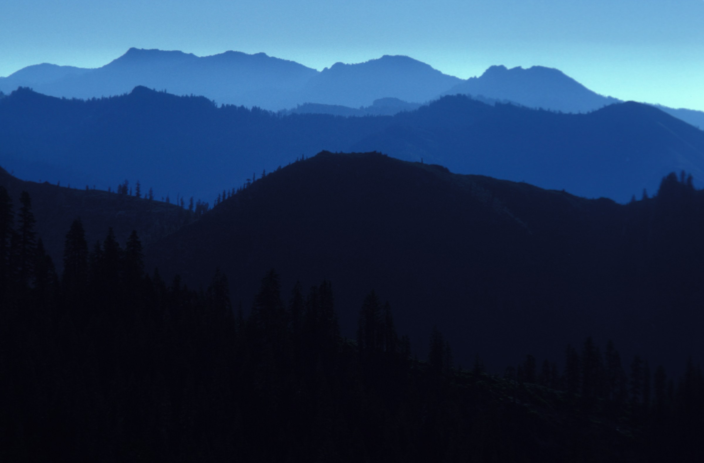
Hikers watching sunset from the meadows above Bigelow Lakes, Oregon Caves National Monument
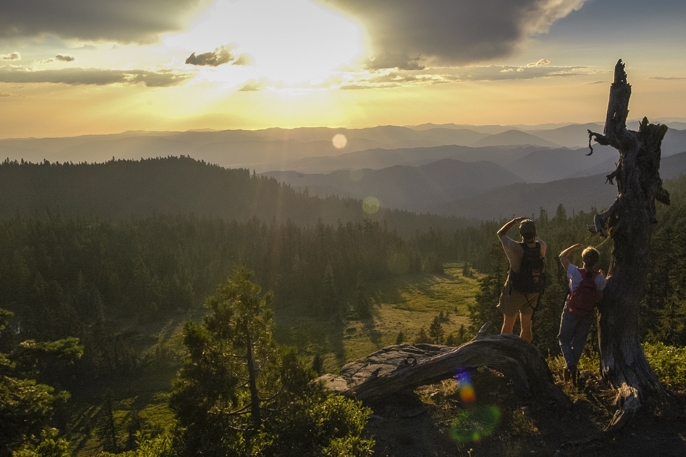
Sunset from the subalpine bench above Bigelow Lakes, with the blue-hazed Siskiyou ridgelines receding westward — the signature view of this loop. Photo: National Park Service, public domain, via Wikimedia Commons.

Snapshot

CountryUSA — Oregon
Sub-regionOregon Caves National Monument & Preserve (NPS); the upper loop crosses into Rogue River–Siskiyou NF
StartOregon Caves visitor centre, end of Oregon Route 46, ~32 km east of Cave Junction
FinishSame as start
Route typeLoop, using the Mt. Elijah #1206, Boundary #1207 and Bigelow Lake #1214 trails and the Big Tree Loop
Distance14.8 km (9.2 mi) — official NPS figure
Elevation gain728 m (2,390 ft) — official NPS figure
Elevation lossLoop; loss mirrors gain
Maximum elevation1,948 m (6,390 ft) at Mount Elijah
Estimated time6–8 hours; the NPS calls it a full-day hike
DifficultyHard — the NPS rates it "challenging"
Best seasonLate spring, summer and early autumn; snowshoes needed in winter
Permits / accessNo entrance fee and no permit for the surface trails. Cave tours are separately ticketed and card-only. Dogs are prohibited on all trails
Public transportNone — private vehicle required
Verification statusRoute, distance, gain and rules verified against the official NPS trail page; photo licence verified; no official GPX

Itinerary

The loop climbs from the visitor centre through ancient forest and groves of Port Orford cedar, gaining steadily onto open grassy meadows. It passes the Bigelow Lakes — shallow, lily-covered montane lakes set in a meadow basin below the crest — before continuing up to the summit of Mount Elijah at 1,948 m, where the view reaches Mount Shasta, Preston Peak and the Illinois Valley on a clear day. The descent runs west and down toward the monument boundary, joining the Big Tree Loop; the Big Tree itself is Oregon’s widest-girth Douglas-fir, over 12.5 m in circumference. The loop can be finished on the interpretive Cliff Nature Trail, which crosses marble outcrops with signs on the geology of the range.

The same summit can be reached from the other side, from the Sturgis Trailhead on Forest Road 1020: 1.3 km up the Sturgis Fork Trail #903 to the Boundary Trail #1207, north for 300 m to the Mt. Elijah Trail #1206, then switchbacks and a ridge to the summit — about 6.5 km one way. For a shorter day from the visitor centre, the Big Tree Loop alone is 5.3 km with 343 m of gain.

Why it is essential

This is the botanical and geological route of the set. Oregon Caves is a marble cave — metamorphosed limestone, the signature of an accreted terrane — and the Cliff Nature Trail runs directly over marble outcrops. Within a single loop the route passes from old-growth forest and Port Orford cedar through montane meadow to a subalpine summit, and it supplies the third of the range’s three basements: granite at Devil’s Punchbowl, serpentine on the Red Buttes crest, marble here.

Equipment

  • Standard hiking equipment; the tread is good throughout.
  • 2 L of water. There is none on the trail, but water is available at the visitor centre.
  • Warm layer and wind shell for the summit and the meadows.
  • Sun protection for the open upper section.
  • Note that the loop crosses between National Park Service and Forest Service land, and the rules differ on each side.

Hazards and notes

  • Dogs are prohibited on every trail in the monument. They are allowed only on roads and road shoulders, in the campground, in picnic areas and in car parks, on a leash no longer than 1.8 m. This is the only hike in this article with a dog ban.
  • Snow lingers in the meadows into early summer.
  • A sustained climb; the NPS rates the loop challenging and expects a full day.
  • The historic Oregon Caves Chateau has been closed since 2018 for repairs, with no announced reopening date, and was named to the National Trust’s 2025 list of America’s 11 Most Endangered Historic Places. It is not operating as lodging.
  • The monument’s online alerts page has not been updated since 2021. Telephone 541-592-5125 for current trail and road conditions.

Routes and maps

Source URL Format / access Reuse status
NPS — Hiking trails at Oregon Caves nps.gov Official trail page with distances and gain Public domain (US federal work)
NPS — The Big Tree Trail nps.gov Official trail page Public domain
USFS — Sturgis Trailhead (alternative approach) fs.usda.gov Official trailhead page with coordinates Public information
USFS — Boundary Trail #1207 fs.usda.gov Official trail page Public information
AllTrails — Lake Mountain and Mount Elijah alltrails.com GPX (subscription) AllTrails terms; reference only
OpenStreetMap openstreetmap.org OSM XML / GPX export ODbL 1.0; reusable with attribution

No official NPS or Forest Service GPX or KML was found for this loop. Note that AllTrails also lists a shorter 7 km “Mount Elijah and Bigelow Lakes Loop” — that is a different, upper-only circuit started from a forest road, not this route.

Further reading

5. Pilot Rock

Pilot Rock, an andesite volcanic plug with columnar jointing, near Siskiyou Summit in Oregon
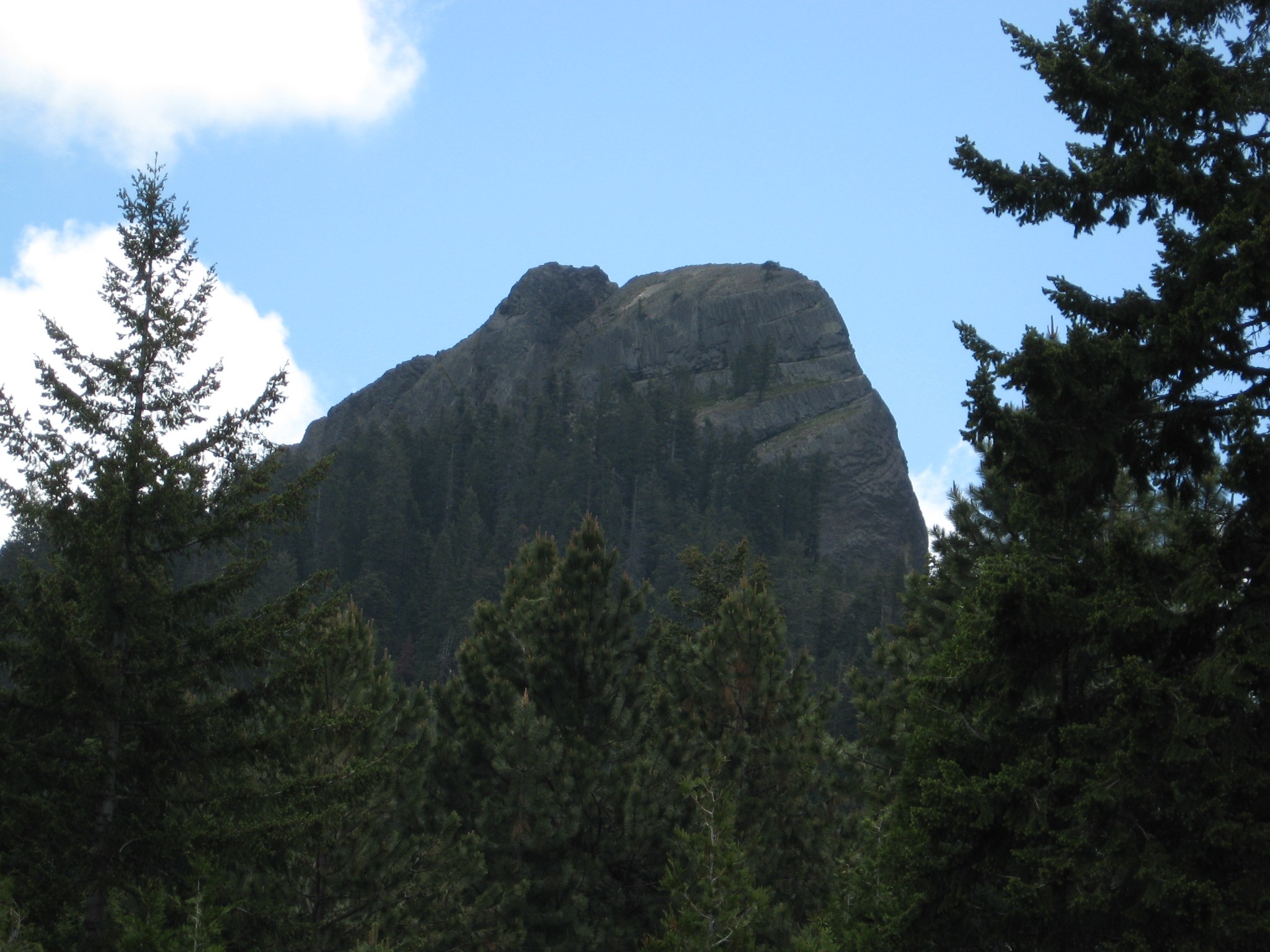
Pilot Rock — an andesite plug roughly 25.6 million years old, with the columnar jointing formed as the andesite cooled clearly visible on the sunlit face. Photo: ZabMilenko, CC BY 3.0, via Wikimedia Commons.

Snapshot

CountryUSA — Oregon
Sub-regionBLM Cascade-Siskiyou National Monument; Soda Mountain Wilderness
StartPilot Rock Trailhead, a former quarry at the end of Pilot Rock Road (42.03669, −122.57101); 1,494 m
FinishSame as start
Route typeOut-and-back to the base of the rock
Distance4.5–4.8 km (2.8–3.0 mi) depending on source
Elevation gain250–310 m (810–1,010 ft); sources disagree
Elevation lossOut-and-back; loss mirrors gain
Maximum elevation1,801 m (5,910 ft) at the summit; the walking route ends at the base
Estimated time2–2.5 hours to the base and back
DifficultyEasy–moderate to the base. The summit itself is a Class 3–4 scramble and is not a hike
Best seasonMay to October, once snow has cleared from the road and trail
Permits / accessNo permit or fee found. Dogs allowed on a leash of no more than 1.8 m. The south and east faces are closed 1 February – 30 July for nesting peregrine falcons
Public transportNone — private vehicle required; the BLM warns the access road is rough and unsuitable for low-clearance vehicles
Verification statusRoute, geology and closures verified against the official BLM bulletin and monument pages; distance and gain vary between sources; photo licence verified

Itinerary

Because the 2009 wilderness designation closed the old upper trailhead to vehicles, the walk now begins with 1.3 km along an old road converted to trail. At the ridge the route meets the Pacific Crest Trail and turns left, signed, through trees. After a further 300 m the trail forks; take the signed right-hand branch, a newer, properly graded path that replaced a steep and badly eroded use trail. It climbs to the base of Pilot Rock, with views south, west and north-west, and hikers can scramble onto the rocks at the base for a slightly wider outlook. The walking route ends here.

The summit is optional and is not a hike. The scramble up the North West Gully is graded Class 3–4: the BLM’s own bulletin warns that “this climb is steep with loose rock and exposure. Scrambling, care and dexterity are required.” The route starts up a wide chimney past a large chockstone, which is the crux, and eases above it. It should be attempted only in dry conditions and only by experienced parties. Dogs cannot make the summit.

For a longer day, the PCT can be walked out in either direction from the junction, as the BLM’s own leaflet suggests.

Why it is essential

Pilot Rock is the cultural landmark of the Siskiyous. The Takelma people knew it as a “stone standing up”; settlers called it Boundary Mountain; a U.S. Navy lieutenant of the 1841 Exploring Expedition, scouting a route from the Columbia to San Francisco Bay, briefly named it after himself. It became “Pilot Rock” because it piloted Applegate Trail migrants of the 1850s to the pass, visible from the Shasta Valley more than 60 km away. The BLM reckons some five million vehicles a year now pass beneath it on Interstate 5, which crosses its highest point at Siskiyou Summit.

It is also the geological hinge of the region — and worth being precise about. Pilot Rock is a Cascade feature, an andesite plug about 25.6 million years old and one of the oldest formations in the range, standing exactly where the young volcanic Cascades meet the far older accreted Siskiyous. Its columnar jointing, tilted about 20° eastward, formed as the andesite cooled. The contrast with the peridotite and marble elsewhere in this article is the point.

Equipment

  • Standard hiking equipment; trail shoes are adequate to the base.
  • 2 L of water and salty food. There is no water on the route, and the BLM’s leaflet devotes half a page to heat: Rogue Valley summer temperatures frequently reach 38 °C, and temperatures in the sun run 8–11 °C higher than in shade.
  • Sun protection and a sun hat.
  • No technical equipment is needed for the walk to the base. The summit gully is a scramble and should not be attempted in the wet.

Hazards and notes

  • A seasonal raptor closure is in force. The south and east sides of Pilot Rock are closed from 1 February to 30 July every year to protect nesting peregrine falcons. The hiking trail and the North West Gully are explicitly exempt. Obey the on-site signs, which are the authority.
  • The summit scramble has loose rock and real exposure, and exceeds the scope of a day hike.
  • Heat and full sun; there is no water and little shade.
  • The access road is rough. The BLM states plainly that it is not recommended for vehicles with low ground clearance.
  • Nine aircraft have crashed into Pilot Rock since 1942, generally in poor visibility — a reminder of how abruptly it rises out of the pass.

Routes and maps

Source URL Format / access Reuse status
BLM — Pilot Rock day-hike bulletin (PDF) blm.gov Official leaflet with directions and geology Public domain (US federal work)
BLM — Cascade-Siskiyou NM, Plan Your Visit blm.gov Official page; states the peregrine closure Public domain
Oregon Hikers — Pilot Rock Hike oregonhikers.org Field-guide description and coordinates Public reference
Hiking Project — Pilot Rock Trail hikingproject.com GPX download onX/REI terms; personal use
OpenStreetMap openstreetmap.org OSM XML / GPX export ODbL 1.0; reusable with attribution

No official BLM GPX or KML was found. Note that AllTrails also lists an 14 km “Pilot Rock Trail” — that is the long PCT approach, not the standard route from the trailhead.

Further reading

Practical notes

Permits. None of the five routes requires a day-use permit or charges a trailhead fee. In California (Devil’s Punchbowl, Cook and Green Pass) a free California Campfire Permit is required to use a stove outside a designated recreation site, including inside wilderness. The Northwest Forest Pass programme applies only in Oregon and Washington and is not needed at any of these trailheads.

Fire. 2026 has been a high fire-risk year across the range following a record-low winter snowpack, and forest-wide fire restrictions have been in force on the Rogue River–Siskiyou (from 19 June), Klamath (18 June) and Six Rivers (3 July) national forests. Restrictions and closures can change within hours in July and August; check the relevant forest’s alerts page immediately before travelling.

Further reading

Source URL
USFS — Rogue River–Siskiyou National Forest fs.usda.gov
USFS — Klamath National Forest fs.usda.gov
USFS — Six Rivers National Forest fs.usda.gov
USFS — Wagner Butte Trail #1011 fs.usda.gov
USFS — Devil’s Punchbowl Trail fs.usda.gov
USFS — Siskiyou Wilderness fs.usda.gov
USFS — Red Buttes Wilderness fs.usda.gov
USFS — Cook and Green Pass Trailhead fs.usda.gov
NPS — Oregon Caves National Monument & Preserve nps.gov
BLM — Cascade-Siskiyou National Monument blm.gov
Wilderness.net — Red Buttes Wilderness wilderness.net
USGS — Klamath Mountains Ecoregion (Professional Paper 1794-A) pubs.usgs.gov
Wikipedia — Klamath–Siskiyou forests en.wikipedia.org
Oregon Hikers — field guide oregonhikers.org
OpenStreetMap (ODbL 1.0) openstreetmap.org