Regional overview
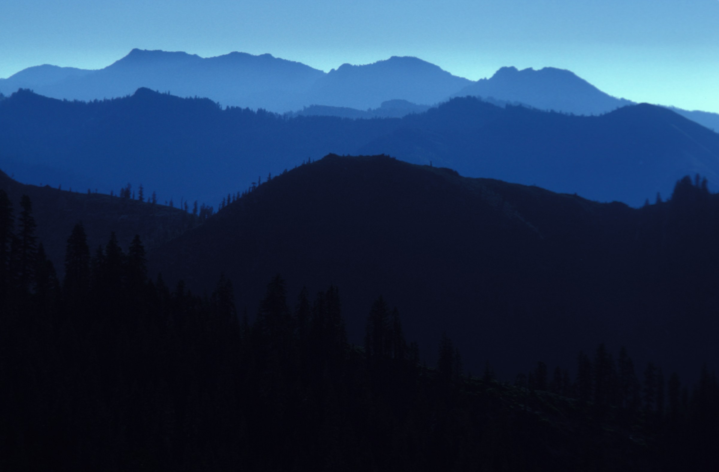
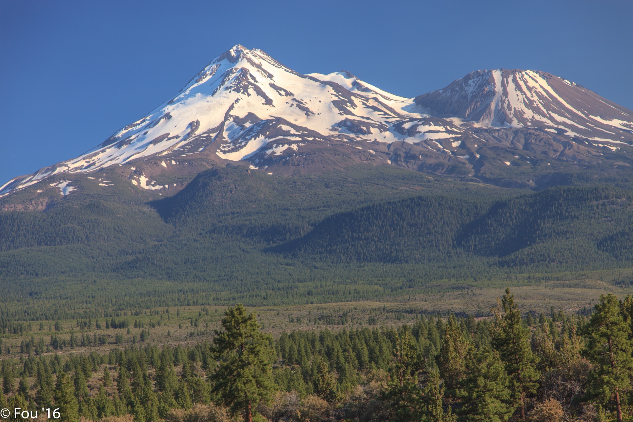
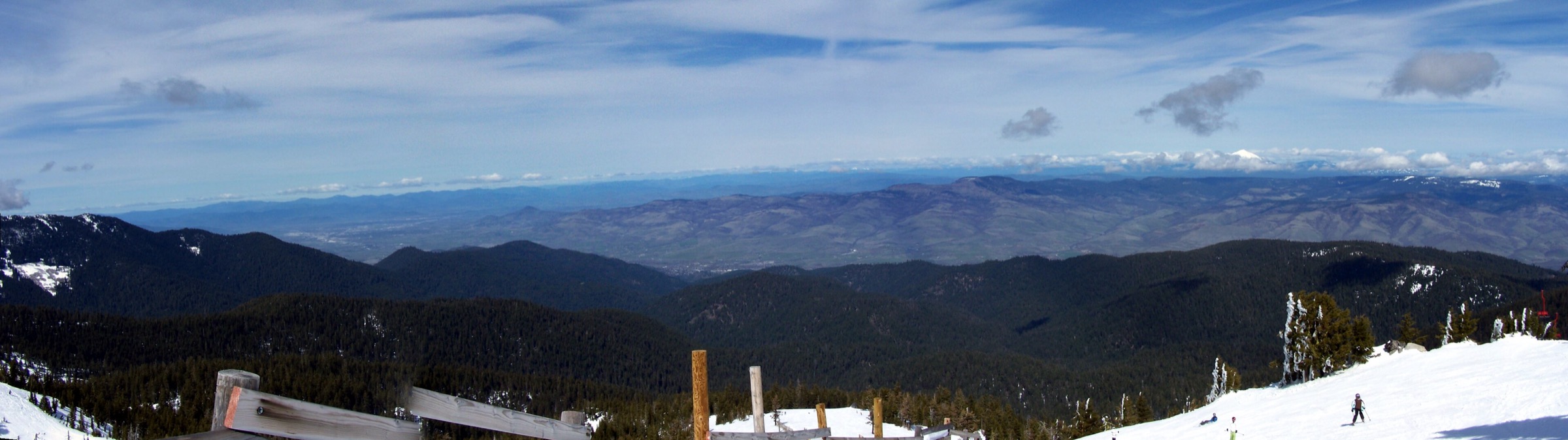
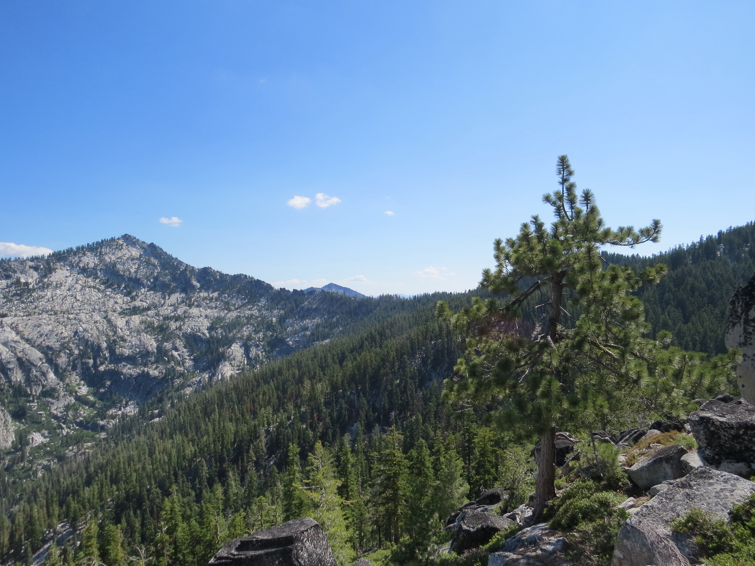
The Trinity Alps are the granite-and-lake heart of the Klamath Mountains, west of Redding in northern California. Wilderness Connect describes the Trinity Alps Wilderness as a large, rugged high country of Wild and Scenic river headwaters, roughly 55 named lakes, summits rising near 9,000 ft, and about 550 miles of maintained trails. The White Trinities at the centre are the granitic core, glacially carved into cirques and pale slabs and containing the highest ground in the range at Thompson Peak (2,744 m / 9,001 ft). The Red Trinities to the east are ultramafic and serpentine, and the Green Trinities to the west are lower, forested metamorphic country.
Snow commonly lingers high into the season, and the Shasta-Trinity National Forest notes that the main wilderness season generally runs from mid-May through mid-September, with actual access depending on snowpack, fires, road conditions, and local orders. Access is by car from Weaverville on Highway 299 and from Highway 3 running north past Trinity Lake; no public transport reaches any of the trailheads in this article. Day hikers do not need a wilderness permit, but a free California Campfire Permit is required to use a stove, and bear canisters are required for food storage in the Canyon Creek and Swift Creek drainages.
This catalogue selects hikes that are both iconic and realistically usable by strong walkers as day objectives: Canyon Creek Lakes, Granite Lake via Swift Creek, Four Lakes with Siligo Peak, Grizzly Lake, and Echo Lake via Stoney Ridge. The Trinity Alps blur the line between day hiking and backpacking, and several of these routes are often split over two or three days. They are kept in the catalogue because they are among the range’s definitive routes, but they should be treated as long alpine days, not casual walks.
Selection rationale
The five routes cover the major day-hike experiences of the Trinity Alps: the most famous lake basin, a shorter granite-lake objective, a crest-and-lakes loop with the region’s high viewpoint, a severe waterfall-and-cirque approach beneath the highest peak in the Klamaths, and a long Stoney Ridge route into the central lake country. Caribou, Emerald, Sapphire, and several longer canyon-to-lake routes were excluded because they are better treated as backpacking trips for most parties and would stretch the day-hike category beyond usefulness.
Distances and gains vary between sources. Where official Forest Service trail pages were unavailable or did not provide a current GPX/KML, the clearest public route stats have been kept and reuse limitations flagged.
Summary
| # | Hike | Country | Route type | Distance | Gain | Max elevation | Difficulty |
|---|---|---|---|---|---|---|---|
| 1 | Canyon Creek Lakes | USA | Out-and-back | 25.1 km | ~900 m | ~1,714 m | Hard |
| 2 | Granite Lake via Swift Creek | USA | Out-and-back | 15.7 km | 614 m | ~1,840 m | Moderate–hard |
| 3 | Four Lakes and Siligo Peak via Long Canyon | USA | Loop from Long Canyon | 30.1 km | 1,824 m | 2,482 m | Very strenuous |
| 4 | Grizzly Lake via China Gulch | USA | Out-and-back | 24.9 km | 1,576 m | ~2,164 m | Very strenuous |
| 5 | Echo Lake via Stoney Ridge | USA | Out-and-back | 20.0 km | 1,170 m | ~2,195 m | Hard |
1. Canyon Creek Lakes
Snapshot
Itinerary
The route leaves the Canyon Creek Trailhead and follows the canyon upstream along one of the Trinity Alps’ most popular trails. The grade is gradual for much of the lower approach, with waterfalls, pools, granite walls and regular water access. The trail becomes steeper and rougher near the upper basin, where cairns, granite slabs and alpine terrain call for more careful navigation.
Most day-hikers turn round at the lower or upper Canyon Creek Lakes depending on time, snow and energy. Backpackers continue deeper into the basin, but the lake pair is the natural day-hike objective.
Why it is essential
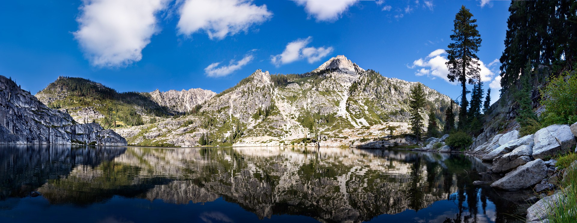
Canyon Creek Lakes is the classic Trinity Alps lake hike: granite, cascades, clear water, and a long but direct canyon approach. For a hiker with only one very big day in the range, this is the benchmark route by which many others are measured.
Equipment
- Mountain hiking equipment; sturdy boots with edge for granite slabs, and trekking poles.
- Headtorch. On a day-hike timetable this route is very likely to finish in the dark.
- 3 L water capacity. Canyon Creek runs alongside most of the route, but treat everything.
- Sun protection for the open slabs above the meadows.
- Map and offline navigation — the cairned section above the meadows can be confusing in poor light.
- Bear canister if any food is being stored; bears here are bold and food-conditioned.
Hazards and notes
- Seasonal road closures can affect access; check Canyon Creek Road conditions before travel.
- Upper basin has loose granite, snow patches, and cairned sections that can become confusing in poor visibility.
- Bugs can be heavy in early summer, and hot lower-canyon conditions can make the return feel longer than the ascent.
- Wilderness permits are required for overnight use, and California Campfire Permit rules apply for any stove use.
- Check current Shasta-Trinity fire restrictions before departure.
Routes and maps
| Source | URL | Format / access | Reuse status |
|---|---|---|---|
| AllTrails — Canyon Creek Lakes Trail | alltrails.com | Public source map and current route stats | AllTrails terms; reference only |
| Wilderness Portal — Canyon Creek | wildernessportal.com | Supplemental route page citing USFS trail data | Check per-page terms |
| OpenStreetMap — Canyon Creek Lakes area | openstreetmap.org | OSM route data | ODbL 1.0; reusable with attribution |
No official Forest Service GPX or KML was found for this route. A redistributable track should be reconstructed from OpenStreetMap or from a first-party field survey.
Further reading
- Wilderness Connect — Trinity Alps Wilderness
- Shasta-Trinity National Forest — Trinity Alps Wilderness
2. Granite Lake via Swift Creek
Snapshot
Photo status: no route-exact licence-compatible image of Granite Lake was placed in this pass. Wikimedia Commons holds a CC BY-SA 3.0 file titled Trinity Alps near Granite Lake by Ottofunk9 that could be sourced and shipped as a follow-up.
Itinerary
From the Swift Creek Trailhead the route follows the Swift Creek corridor toward the Granite Lake junction and then climbs into the granite basin. Compared with Canyon Creek or Grizzly Lake this is a compact Trinity Alps lake day, though it still holds enough distance and gain to feel like a real mountain hike.
Granite Lake makes the natural turnaround. Strong walkers can extend toward nearby passes or higher lake basins, but the essential day-hike is the direct Granite Lake objective.
Why it is essential
Granite Lake gives the Trinity Alps’ defining lake-and-granite scenery in a shorter package than the marquee long routes. It is the best selection here for hikers who want a serious but not extreme day, and it represents the Swift Creek side of the wilderness.
Equipment
- Mountain hiking equipment; sturdy boots and trekking poles for the descent.
- 2–3 L water capacity. Swift Creek and the lake supply water; treat everything.
- Sun protection and a warm layer for the upper basin.
- Offline navigation — early-season snow can obscure the upper route.
- Bear canister if storing food in the drainage.
Hazards and notes
- Route stats vary between public mapping sources, and the maximum elevation should be checked against the exact line used for publication.
- Trailhead access roads may be rough or seasonally affected.
- Late-summer smoke or heat can affect timing.
- Verify Shasta-Trinity fire restrictions before travel.
Routes and maps
| Source | URL | Format / access | Reuse status |
|---|---|---|---|
| AllTrails — Granite Lake via Swift Creek Trail | alltrails.com | Public source map | AllTrails terms; reference only |
| Hiiker — Granite Lake via Swift Creek | hiiker.app | Supplemental route stats | Check per-page terms |
| OpenStreetMap — Granite Lake area | openstreetmap.org | OSM route data | ODbL 1.0; reusable with attribution |
No official Forest Service GPX or KML was found for this route.
Further reading
- Shasta-Trinity National Forest — Trinity Alps Wilderness
- Wikimedia Commons — Trinity Alps near Granite Lake
3. Four Lakes and Siligo Peak via Long Canyon
Snapshot
Itinerary
From the Long Canyon Trailhead the route climbs steadily toward Deer Creek Pass and the Four Lakes basin. Hike Mt Shasta notes that the core Four Lakes Loop itself is only about 5.2 mi, but the shortest access via Long Canyon adds roughly 6 mi just to reach the loop — which is why many parties backpack and base-camp instead of doing the full circuit in a day.
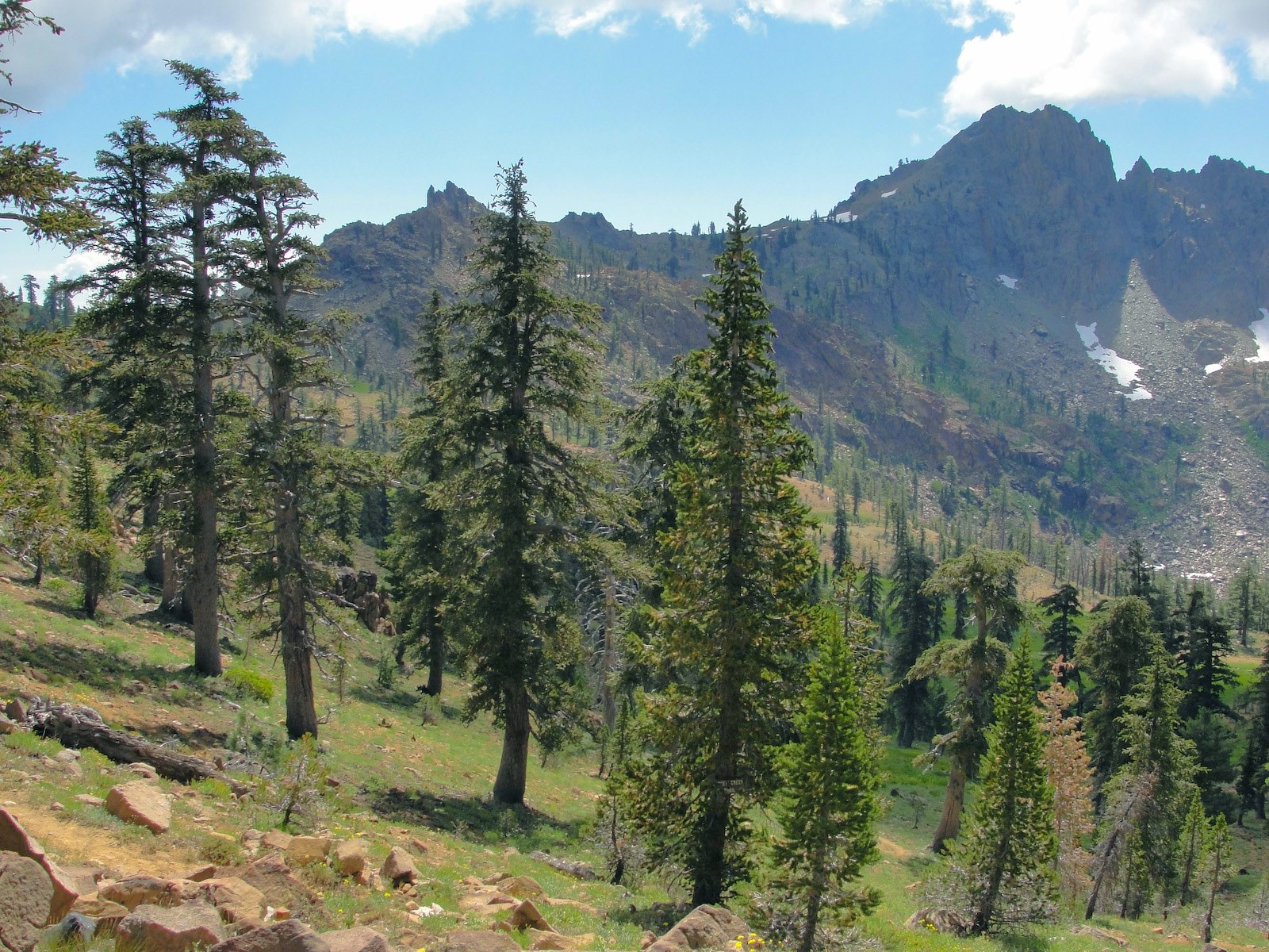
The day-hike version tours the alpine lake basin — Summit Lake, Diamond Lake, Luella Lake and Deer Lake — and includes Siligo Peak for the high viewpoint. Expect sustained climbing, exposed sections, snow lingering in shaded basins, and faint or rough tread around parts of the lake circuit.
Why it is essential
Four Lakes is one of the Trinity Alps’ signature alpine circuits. The combination of Long Canyon approach, Deer Creek Pass, four alpine lakes and Siligo Peak makes it the most complete high-country loop in this selection. It is not the easiest choice, but it is one of the clearest expressions of why the Trinity Alps are a destination range.
Equipment
- Mountain hiking equipment; sturdy boots and trekking poles.
- Headtorch with reserve battery — this is a full-value day.
- 3+ L water capacity, water treatment, and substantial food.
- Insulating layers, rain shell, sun protection, and an emergency bivy layer.
- Offline navigation; early season may require traction and ice-axe judgement depending on snowpack.
Hazards and notes
- This route is borderline for a day-hike catalogue and should be considered only by very fit hikers with alpine navigation experience.
- Hike Mt Shasta explicitly notes that many people do not day-hike the full access-plus-loop and instead backpack.
- Do not start late. Thunderstorms, smoke, snowfields, and route-finding mistakes can make the day unsafe.
- If publishing a redistributable track, label whether it is the full Long Canyon day-route or only the core Four Lakes Loop.
Routes and maps
| Source | URL | Format / access | Reuse status |
|---|---|---|---|
| AllTrails — Four Lakes and Siligo Peak Loop | alltrails.com | Public source map and current stats | AllTrails terms; reference only |
| Hike Mt Shasta — Four Lakes Loop | hikemtshasta.com | Route description and access caveat | Public reference |
| OpenStreetMap — Four Lakes area | openstreetmap.org | OSM route data | ODbL 1.0; reusable with attribution |
No official Forest Service GPX or KML was found for this route.
Further reading
4. Grizzly Lake via China Gulch
Snapshot
Itinerary
The China Gulch route climbs hard from the lower forest into the high cirque below Thompson Peak. AllTrails describes it as a very long, strenuous day that many hikers split into a two- or three-day backpacking trip. Hike Mt Shasta emphasises the severe climb, the traditional Grizzly Creek route context, and the steep final approach to the lake.
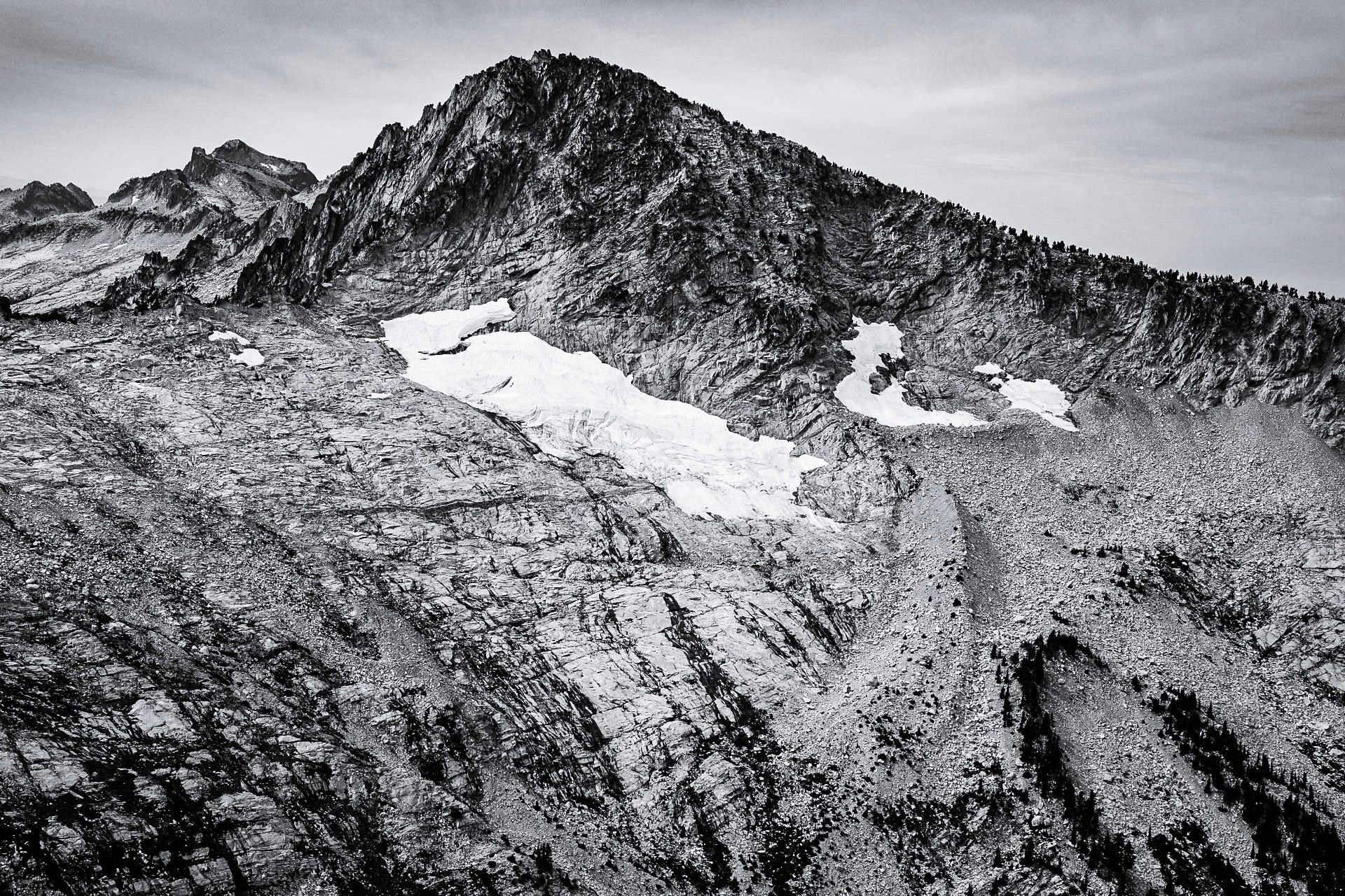
The destination is one of the most dramatic basins in the Trinity Alps: Grizzly Lake, Thompson Peak rising directly above it, and Grizzly Falls dropping straight out of the lake basin. Turn round early if snow, heat, timing or navigation make the final climb unreasonable.
Why it is essential
Grizzly Lake is the hard-edged counterpart to Canyon Creek’s popularity. It is longer, steeper, and more committing, but the payoff is exceptional: a high cirque, the highest summit backdrop in the range, and one of the signature waterfalls of the Trinity Alps. It shows the wilderness at its most alpine and most severe.
Equipment
- Mountain hiking equipment; sturdy boots suitable for rough trail and steep descending, and trekking poles.
- Headtorch, emergency layer, water treatment, offline maps, and plenty of food.
- Early-season snow may require mountaineering judgement.
- Many parties should treat this as an overnight rather than a day-hike.
Hazards and notes
- Cell service is unreliable throughout.
- The route is remote, steep, and punishing on the return.
- The final approach to the lake can involve scrambling or very steep trail depending on conditions and exact line.
- Check Shasta-Trinity fire restrictions, smoke and seasonal road conditions before departure.
- A published track should clearly distinguish the China Gulch route from the traditional Grizzly Creek approach.
Routes and maps
| Source | URL | Format / access | Reuse status |
|---|---|---|---|
| AllTrails — China Gulch Trail to Grizzly Lake | alltrails.com | Public source map and current stats | AllTrails terms; reference only |
| Hike Mt Shasta — Grizzly Creek Trail | hikemtshasta.com | Route and difficulty context | Public reference |
| OpenStreetMap — Grizzly Lake area | openstreetmap.org | OSM route data | ODbL 1.0; reusable with attribution |
No official Forest Service GPX or KML was found for this route.
Further reading
5. Echo Lake via Stoney Ridge
Snapshot
Photo status: no route-exact licence-compatible image of Echo Lake was placed in this pass. The Diamond Lake / Sawtooth Mountain image on Wikimedia Commons (Tom Hilton, CC BY 2.0) covers the adjacent Four Lakes / Stoney Ridge access landscape and could be sourced as a stand-in.
Itinerary
The route starts at the Stoney Ridge Trailhead and climbs long switchbacks toward Stonewall Pass. It then crosses high meadows and drops toward Echo Lake beneath jagged ridgelines. AllTrails describes the outing as a hard 12.4-mile day with nearly 3,838 ft of gain, while Hike Mt Shasta places Stoney Ridge in the broader access system for the Four Lakes and Deer Creek Pass country.
Echo Lake is the day-hike objective. Continuing deeper toward Deer Creek Pass or the full Four Lakes system pushes the outing toward an ultra-long day or backpacking trip.
Why it is essential
Stoney Ridge is one of the best day-hike approaches to the central Trinity Alps lake country. It gives a different perspective from Canyon Creek and Long Canyon: sustained ridge climbing, open meadows, passes, and a quieter lake destination framed by rugged granite.
Equipment
- Mountain hiking equipment; sturdy boots and trekking poles.
- Headtorch, food, layers, and sun protection.
- Water treatment; snow can persist around the pass and lake terrain.
- Offline navigation for the higher sections.
Hazards and notes
- Seasonal road conditions, lingering snow, and wildfire closures can all affect access.
- Echo Lake can look close on the map but requires a major climb and return.
- If using this route as a gateway to Four Lakes, recalculate mileage and gain rather than relying on the Echo Lake day-hike stats.
- The descent back to the trailhead is long after a tiring climb.
Routes and maps
| Source | URL | Format / access | Reuse status |
|---|---|---|---|
| AllTrails — Stoney Ridge Trail to Echo Lake | alltrails.com | Public source map and current stats | AllTrails terms; reference only |
| Hike Mt Shasta — Stoney Ridge Trail | hikemtshasta.com | Access and route context | Public reference |
| OpenStreetMap — Stoney Ridge / Echo Lake | openstreetmap.org | OSM route data | ODbL 1.0; reusable with attribution |
No official Forest Service GPX or KML was found for this route. A redistributable track should label the exact turnaround point and source geometry licence.
Further reading
Practical notes
Permits. No wilderness permit is required for day use in the Trinity Alps Wilderness. Overnight use requires a self-issued wilderness permit, and a free California Campfire Permit is required for any stove use. Bear canisters are required for food storage in the Canyon Creek and Swift Creek drainages.
Fire. Shasta-Trinity National Forest issues seasonal fire restrictions that can prohibit wood fires forest-wide and can affect stove use outside campfire-permit terms. Check the forest’s alerts page on the day of travel.
Water. All water on these routes should be treated. Livestock and heavy human use are both factors in the drainages.
Season. The wilderness season generally runs from mid-May through mid-September, but every year is different. Snowpack, fires, road washouts, and forest orders all shape actual access. Confirm current conditions with the Weaverville Ranger District before travelling.
Further reading
| Source | URL |
|---|---|
| Wilderness Connect — Trinity Alps Wilderness | wilderness.net |
| Shasta-Trinity National Forest — Trinity Alps Wilderness | fs.usda.gov |
| Shasta-Trinity NF alerts and notices | fs.usda.gov |
| Hike Mt Shasta — Trinity Alps trails | hikemtshasta.com |
| AllTrails — Trinity Alps routes | alltrails.com |
| Wilderness Portal — Trinity Alps trails | wildernessportal.com |
| CAL FIRE — California Campfire Permit | readyforwildfire.org |
| OpenStreetMap (ODbL 1.0) | openstreetmap.org |
Missing data / follow-up work
- No official Forest Service GPX or KML was found for any of the five routes. Reconstruction from OpenStreetMap or first-party field survey is required for redistributable tracks.
- Route-exact licence-compatible photographs are missing for Granite Lake, Grizzly Lake and Echo Lake. Wikimedia Commons candidates exist for Granite Lake (Ottofunk9, CC BY-SA 3.0) and the Four Lakes / Stoney Ridge access landscape (Tom Hilton, CC BY 2.0) but were not sourced and shipped in this pass.
- Maximum elevations for Granite Lake and Echo Lake are approximate and should be confirmed against the exact line used for publication.
- The China Gulch and traditional Grizzly Creek approaches to Grizzly Lake are distinct; any published track for Hike 4 should label which line is used.
- Trailhead coordinates are approximate and rest on secondary sources for Granite Lake, Long Canyon, China Gulch and Stoney Ridge. The Canyon Creek Trailhead coordinates in this article differ from the earlier verified figure of 40.88756, −123.02440 published by the Forest Service and should be reconciled before print.
- The Weaverville Ranger District has not confirmed dog rules for these routes; the wilderness generally permits dogs but leash and voice-control expectations should be confirmed locally.
- Fire-restriction and forest-order status should be re-checked on the day of travel via the Shasta-Trinity alerts page.