Regional overview
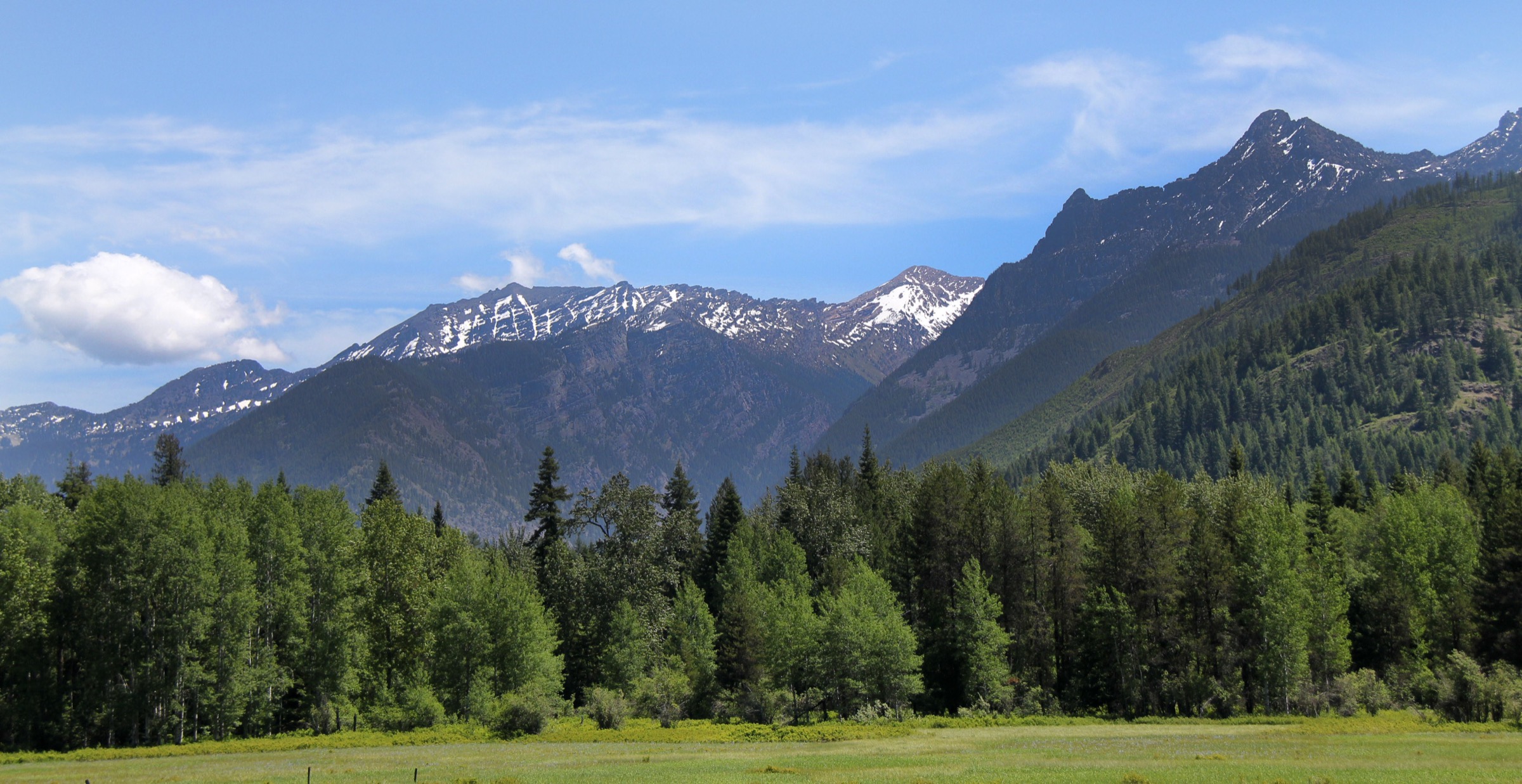
The U.S. Selkirk Mountains reach south from British Columbia into the Idaho Panhandle and northeast Washington, forming a compact but rugged sub-range shaped by forested ridges, glacial-looking lake basins, rough forest-road trailheads, the Selkirk Crest, the Salmo-Priest wilderness country, and a handful of high lookout summits. Compared with the Cabinet Mountains to the east, the Selkirks offer more accessible lake classics near Bonners Ferry, Sandpoint, and Priest Lake, but the best routes still demand mountain-weather judgment, bear awareness, and patience with rough approach roads.
The five hikes below are all in Idaho and Washington. British Columbia’s northern Selkirks around Rogers Pass are covered in a separate Canadian Selkirk Mountains — Rogers Pass catalogue.
Current-condition notes checked on 2026-07-13: the Idaho Panhandle National Forests recreation page listed a seasonal food-storage order and moderate fire danger. The Colville National Forest recreation page listed low fire danger and no featured alerts at the time checked. High Selkirk routes can hold snow into summer, and wildfire smoke or fire restrictions may change quickly.
See also: Purcell Mountains (Yaak / Kootenai) · Priest Lake and Idaho Panhandle.
Selection rationale
The five hikes below form a balanced U.S. Selkirk set: Roman Nose Lakes as the accessible alpine-lake classic, Harrison Lake as a harder lake basin, Chimney Rock as the iconic granite tower approach, Fault Lake as the long Selkirk Crest lake day, and Abercrombie Mountain as the northeast Washington high summit. The Salmo-Priest Loop was considered but excluded — it is longer and more naturally a backpacking loop, though strong hikers may day-hike sections of it.
Summary table
| # | Hike | Start point | Type | Distance | Gain | Max elevation | Difficulty | Access / condition note |
|---|---|---|---|---|---|---|---|---|
| 1 | Roman Nose Lakes | Roman Nose trailhead near Bonners Ferry | Out-and-back | 6.4 km / 4.0 mi | 232 m / 761 ft | 1,899 m / 6,230 ft | Moderate | Rough 4WD / high-clearance approach road |
| 2 | Harrison Lake Trail | Harrison Lake trailhead near Naples | Out-and-back | 7.6 km / 4.7 mi | 437 m / 1,433 ft | 1,886 m / 6,187 ft | Moderate | Rough road and limited parking |
| 3 | Chimney Rock | Chimney Rock trailhead near Coolin | Out-and-back | 16.3 km / 10.1 mi | 874 m / 2,867 ft | 2,105 m / 6,906 ft | Hard | Non-technical hike to the tower area; climbing the spire is a separate objective |
| 4 | Fault Lake | Fault Lake trailhead near Sandpoint | Out-and-back | 19.2 km / 11.9 mi | 860 m / 2,821 ft | 1,832 m / 6,010 ft | Hard | Limited parking; creek crossings; steep final mile |
| 5 | Abercrombie Mountain | Abercrombie trailhead near Metaline Falls | Out-and-back | 11.9 km / 7.4 mi | 722 m / 2,368 ft | 2,226 m / 7,303 ft | Moderate | Colville National Forest; downed trees possible |
Essential day-hikes
1. Roman Nose Lakes
Snapshot
Itinerary. From the high Roman Nose trailhead, walk through forest and open lake-basin terrain to the Roman Nose Lakes. The route is comparatively short for the Selkirks, but the rough approach road and alpine setting make it a real mountain outing.
Why it is essential. Roman Nose Lakes is the accessible Selkirk lake classic: short, scenic, and strongly representative of the Idaho Selkirk high basins.
Equipment. Hiking shoes, bear spray, water, insect repellent, rain layer, offline map.
Hazards and notes. Rough 4WD / high-clearance road, confusing approach-road network, mosquitoes, slick or muddy sections, active bear country. No regular public transport verified — a high-clearance private vehicle is recommended per AllTrails notes.
GPX / route file. No official downloadable GPX or KML located in this pass. AllTrails hosts the standard route reference (proprietary geometry; do not reuse directly): AllTrails — Roman Nose Lakes. OpenStreetMap coverage of the area can be used as a base for a manually built track: OSM search — Roman Nose Lakes (data under ODbL; verify individual ways before use).
Sources. Route stats from AllTrails connector data checked on 2026-07-13; Idaho Panhandle National Forests recreation page for regional context and food-storage order.
2. Harrison Lake Trail
Snapshot
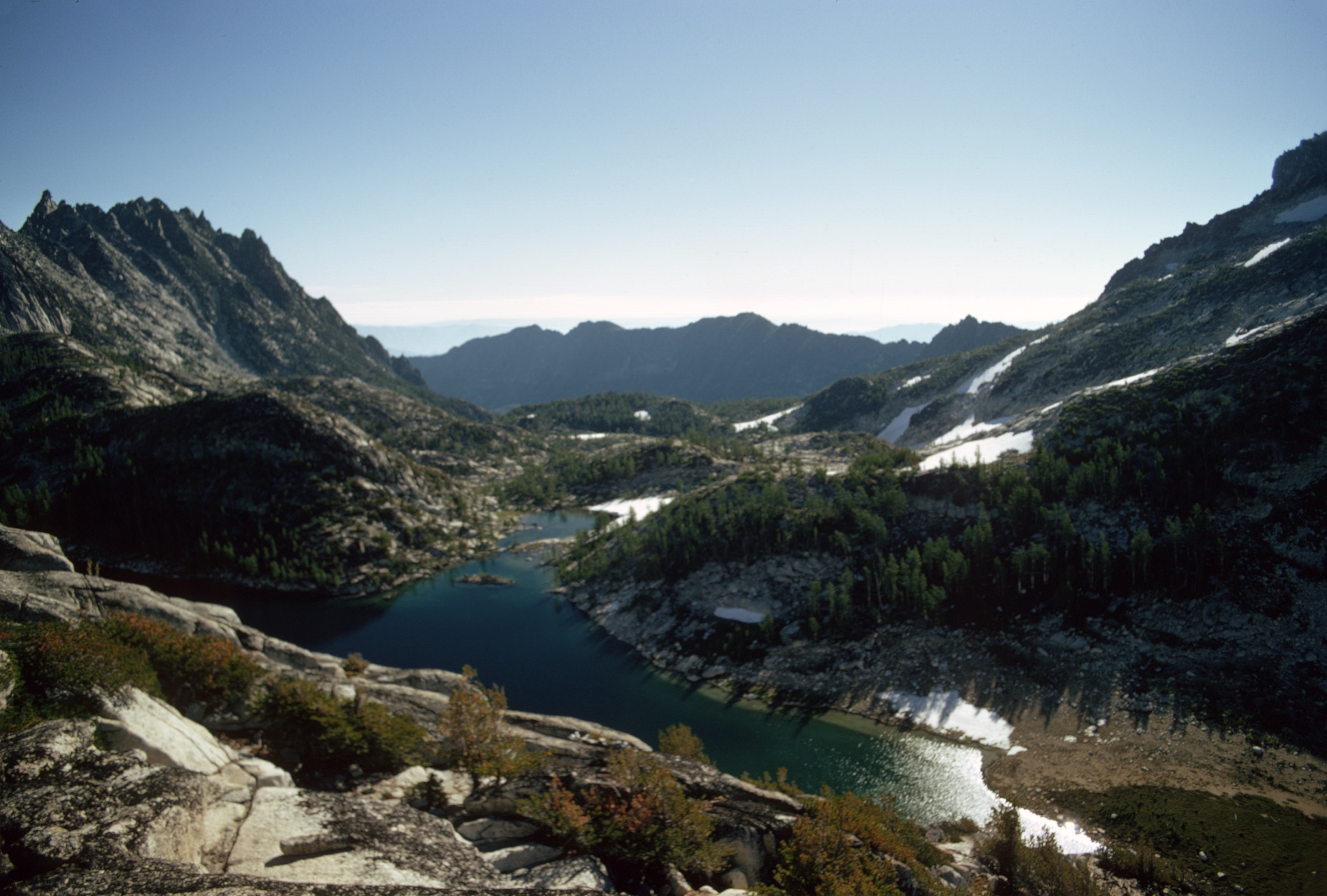
Itinerary. Climb from the Harrison Lake trailhead through forest and rocky tread to Harrison Lake, a classic Selkirk basin below steep surrounding slopes. Return the same way.
Why it is essential. Harrison Lake is one of the strongest short-to-moderate alpine-lake hikes in the Idaho Selkirks and pairs naturally with Roman Nose as a slightly harder lake objective.
Equipment. Boots, poles, bear spray, water, insect repellent, rain layer, offline map.
Hazards and notes. Rough high-clearance approach road, limited parking, roots and rocks, weekend crowding, mosquitoes, bear country. No regular public transport verified.
GPX / route file. No official downloadable GPX or KML located. AllTrails — Harrison Lake Trail carries the reference stats used above (proprietary geometry). OSM base for manual tracing: OSM search — Harrison Lake Trail.
Sources. AllTrails connector data checked on 2026-07-13; Idaho Panhandle National Forests recreation page for regional context.
3. Chimney Rock
Snapshot
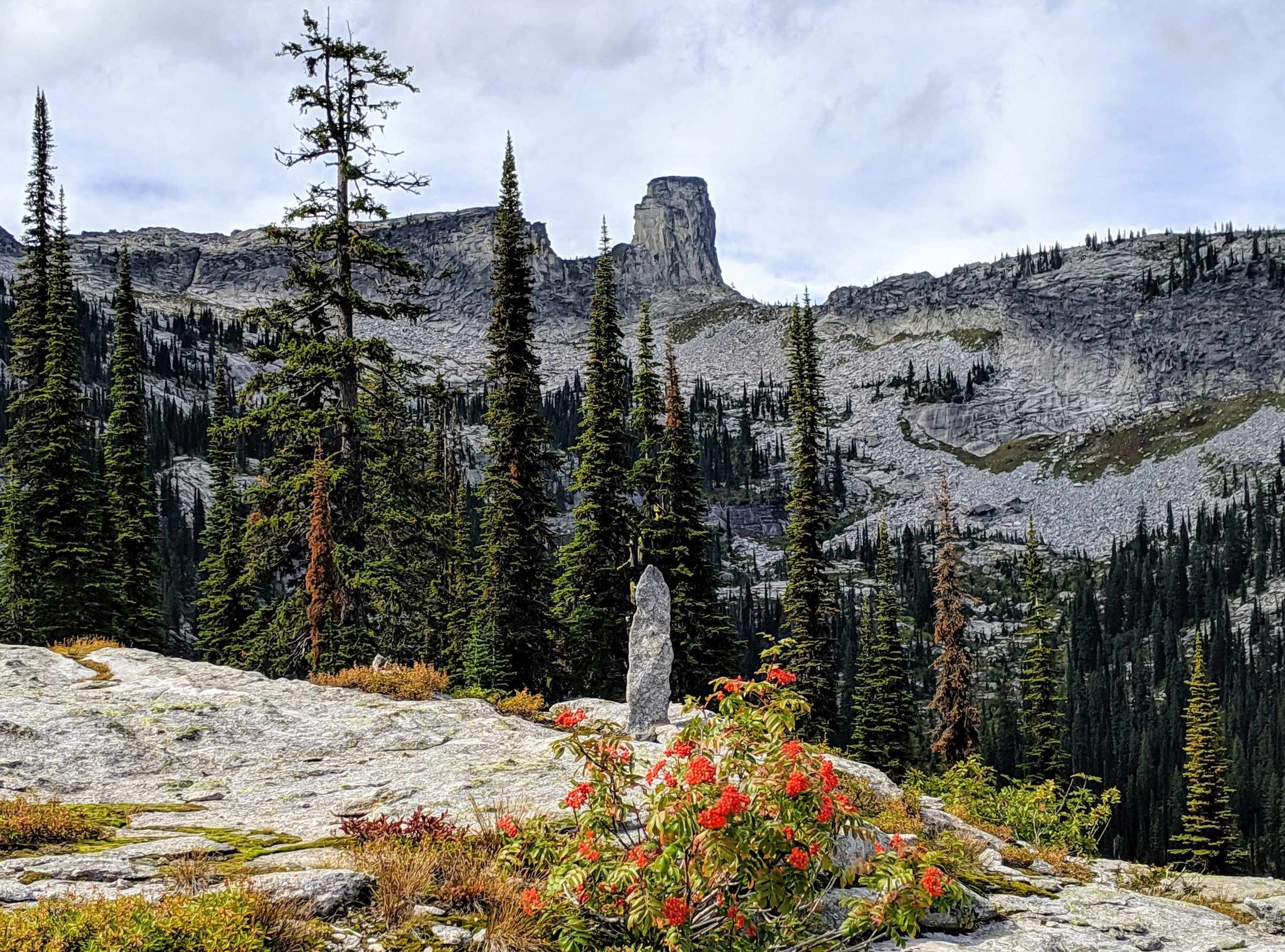
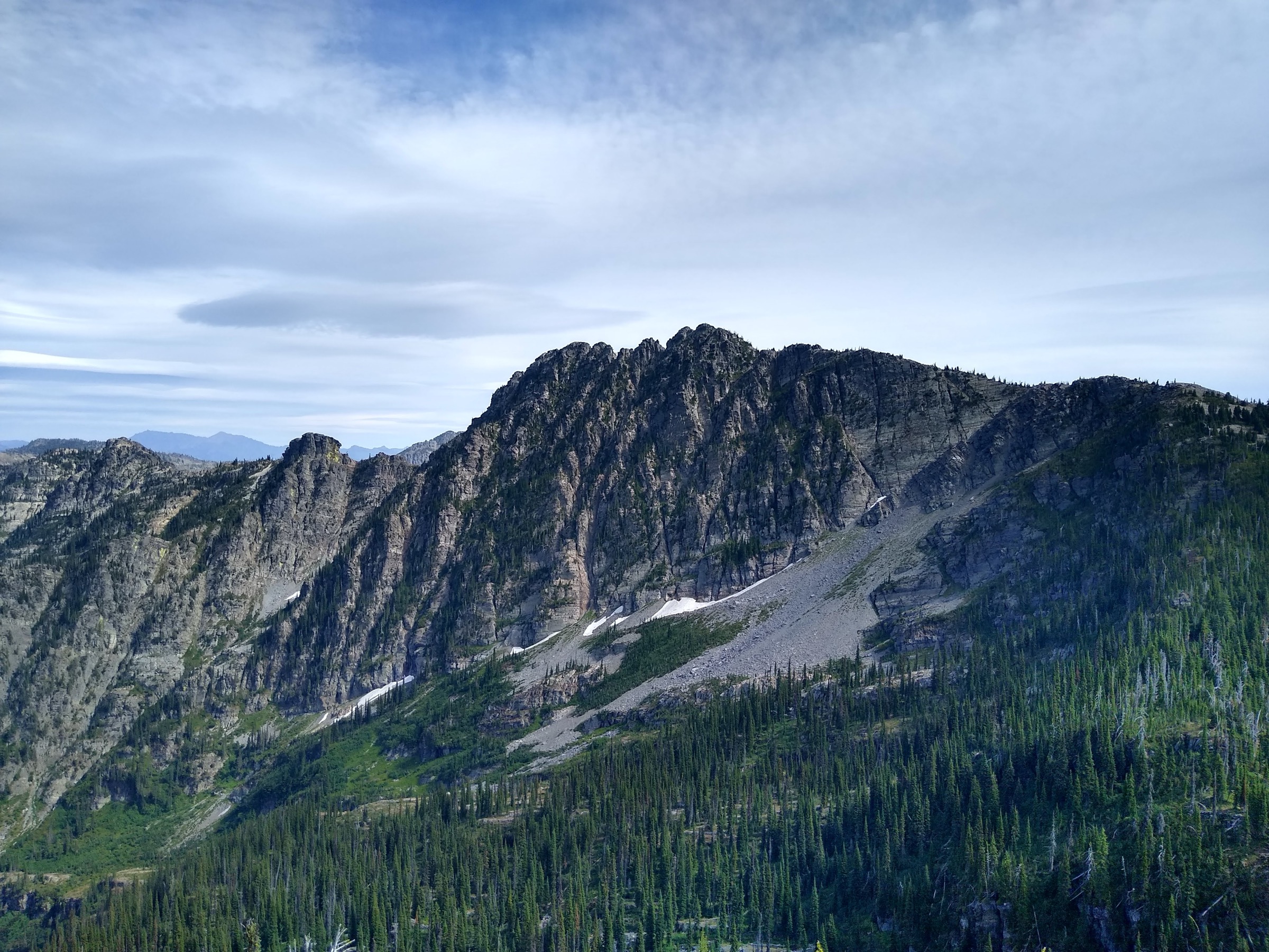
Itinerary. The hiking route approaches Chimney Rock through Selkirk high country and reaches views of the granite tower from the base area. The technical climbing spire itself is outside the scope of this catalogue — this entry covers the non-technical hiking approach and viewpoint route only.
Why it is essential. Chimney Rock is the iconic rock landmark of the Idaho Selkirks and gives the article a distinctive granite-tower objective rather than another lake-only hike.
Equipment. Boots, poles, bear spray, water treatment, rain shell, warm layer, navigation, headlamp for a slow return.
Hazards and notes. Steep climbing, bouldery sections, creek crossings, cairn-following, weather exposure at height, bear country. No regular public transport verified.
GPX / route file. No official downloadable GPX or KML located. AllTrails — Chimney Rock carries the reference stats used above (proprietary geometry). OSM base for manual tracing: OSM search — Chimney Rock (Idaho Selkirks).
Sources. AllTrails connector data checked on 2026-07-13; Wikimedia Commons image metadata explicitly identifies the rock as the Selkirk Mountains of Idaho.
4. Fault Lake
Snapshot
Itinerary. Follow the Selkirk forest-and-creek approach toward Fault Lake, with multiple water crossings and a steeper final climb into the lake basin. Hunt Peak is a possible extension for scramblers but is not part of this non-technical day-hike entry.
Why it is essential. Fault Lake delivers the full long Selkirk lake-day experience: remote forest approach, water crossings, huckleberry country, and a high basin finish.
Equipment. Boots, poles, bear spray, water treatment, rain shell, warm layer, insect repellent, navigation, headlamp.
Hazards and notes. Long distance, creek crossings, rocky and overgrown sections, steep final mile, limited parking, bear country. No regular public transport verified.
GPX / route file. No official downloadable GPX or KML located. AllTrails — Fault Lake carries the reference stats used above (proprietary geometry). OSM base for manual tracing: OSM search — Fault Lake (Idaho Selkirks).
Sources. AllTrails connector data checked on 2026-07-13; Idaho Panhandle National Forests recreation page for regional context.
5. Abercrombie Mountain
Snapshot
Itinerary. Climb from the Metaline Falls side through Colville National Forest terrain to Abercrombie Mountain, a major northeast Washington high point with broad Selkirk views. Return by the same route.
Why it is essential. Abercrombie is the article’s Washington Selkirk summit — it keeps the set from being entirely Idaho Panhandle lake hikes and covers the Salmo-Priest side of the range.
Equipment. Boots, poles, bear spray, wind layer, rain shell, water, navigation, insect repellent.
Hazards and notes. Downed trees, steep final half-mile, weather exposure, bugs, remote access, bear country. No regular public transport verified.
GPX / route file. No official downloadable GPX or KML located. AllTrails — Abercrombie Mountain carries the reference stats used above (proprietary geometry). OSM base for manual tracing: OSM search — Abercrombie Mountain.
Sources. AllTrails connector data checked on 2026-07-13; Colville National Forest recreation page for regional context and fire-danger status.
Routes considered but excluded as out of scope
- Salmo-Priest Loop. Longer wilderness circuit that is more naturally a backpacking loop; strong hikers can day-hike sections but the full route sits outside the day-hike remit.
- Chimney Rock summit spire. The rock climb up the tower itself is a technical objective, not a hike. Only the non-technical hiking approach is included above.
- Hunt Peak scramble from Fault Lake. A possible extension for scramblers but off-trail and non-technical only in the loosest sense.
Further reading
- Idaho Panhandle National Forests — recreation — regional context, food-storage orders, seasonal alerts.
- Colville National Forest — recreation — northeast Washington context and fire-danger status.
- Sister catalogue: Canada — Selkirk Mountains, Rogers Pass for the British Columbia side of the same range.
- Sister catalogue: Canada — Purcell Mountains for the neighbouring Canadian range in the same regional grouping.
Missing data and follow-up work
- Roman Nose Lakes, Harrison Lake, Fault Lake, and Abercrombie Mountain still need licence-compatible route-specific photos — the current pass returned no verified image for any of them.
- The Abercrombie Mountain Commons image (File:Abercrombie_Mountain_WA.jpg) carries an “attribution only” note without a formal CC version. Contact the author (James Jacobson) or find an alternative image before embedding.
- No official downloadable GPX or KML was resolved for any of the five routes. AllTrails geometry is proprietary; the follow-up path is to build tracks manually from OpenStreetMap ways after ground- or map-checking.
- A companion Cabinet Mountains catalogue should follow in the same regional grouping so that the “Cabinet, Purcell, and Selkirk Mountains” region is completed on the U.S. side.