Regional overview
The U.S. Purcell Mountains are a small, quiet and easily blurred section of the far-north Idaho / north-west Montana mountain mosaic. Most of the range sits north of the border in British Columbia; on the American side, the Purcells form a belt of forested ridges, lookout summits and low lakes across the northern Kootenai National Forest — the country around Troy, Rexford, Yaak and the northern edge of Libby. The nationally famous alpine walks of this corner of Montana are in the neighbouring Cabinet Mountains Wilderness to the south and the Selkirks to the west; the Purcell side is the quieter, less-branded slice, and source quality is uneven as a result.
Two federal management contexts frame the article. On the Montana side, the Kootenai National Forest is the operational landowner across the Yaak, Rexford, Troy and Libby ranger districts. The forest recreation page lists forest-wide alerts, including flood-related road inaccessibility, and the Yaak-area page emphasises rugged, low-service country with grizzly bear habitat throughout. Just west, the Idaho Panhandle National Forests describe the Lower Kootenai as bordered by the Purcell and Cabinet ranges on the east and the Selkirks on the west; that regional framing is used here to keep the article on the U.S. Purcell / Yaak / Kootenai slice rather than drifting into the Cabinets or the Idaho Selkirks.
The area’s hiking splits into three characters. High-country objectives cluster around the Northwest Peaks Scenic Area north of Troy, where Northwest Peak itself rises above 2,300 m — the clearest true summit hike in the U.S. Purcell / Yaak country. Lookout hikes — McGuire and Black Butte from the Rexford side — use old fire-lookout access to reach modest but view-rich ridge points, often on tread that is closer to old road grade than singletrack. Lower canyon and lake walks — Shannon Lake via the Historic Highway 2 West Trail near Troy, and Cedar Lakes above Libby — sit on the range margins where the Purcells give way to the Kootenai River corridor and the Cabinets.
Access is by private vehicle everywhere; no verified public transport runs to any of the trailheads in this article, and the approach roads are a mix of paved secondary highway and remote forest road. Cell coverage is intermittent to non-existent across the Yaak. Grizzly bears are present across the entire area; bear-safe food storage and carried bear spray are the standard expectation and are reinforced by the Idaho Panhandle food-storage order to the west. Wildfire smoke and closures are common from mid-summer into September, and the practical high-country window is short — mid-June to early September for Northwest Peak and the lookouts, with the lower Troy-side routes usable May through October in most years.
Selection rationale
The five walks below favour the clearest Purcell-side day hikes available from current sources. Northwest Peak anchors the set as the true summit-style objective in the Northwest Peaks Scenic Area. McGuire Lookout and Black Butte Lookout cover the classic Rexford-side lookout tradition — one higher and steeper, one lower and closer to a road walk. Shannon Lake samples the low, historically themed Kootenai River corridor from Troy. Cedar Lakes is the long alpine-lake day above Libby and closes the selection with a Purcell / Cabinet-margin route retained here as a Kootenai north-side representative — its exact range attribution is partly inferred from the trail source’s Kootenai NF access context rather than an explicit “Purcell Mountains” label. Ten Lakes and Therriault routes were considered but not selected because their range placement is less clear in the available sources.
Routes excluded as out of scope are discussed at the end of the article.
Summary table
| # | Hike | Country | Route type | Distance | Gain | Max elevation | Difficulty |
|---|---|---|---|---|---|---|---|
| 1 | Northwest Peak Trail | USA | Out-and-back | 7.6 km | 480 m | 2,348 m | Hard |
| 2 | McGuire Lookout Trail | USA | Out-and-back | 7.6 km | 263 m | 2,131 m | Moderate |
| 3 | Black Butte Lookout Trail | USA | Out-and-back | 8.7 km | 262 m | 1,234 m | Moderate |
| 4 | Shannon Lake via Historic Highway 2 West Trail | USA | Out-and-back | 7.4 km | 216 m | 764 m | Moderate |
| 5 | Cedar Lakes Trail | USA | Out-and-back | 16.7 km | 945 m | 1,802 m | Hard |
1. Northwest Peak Trail
Snapshot
Itinerary
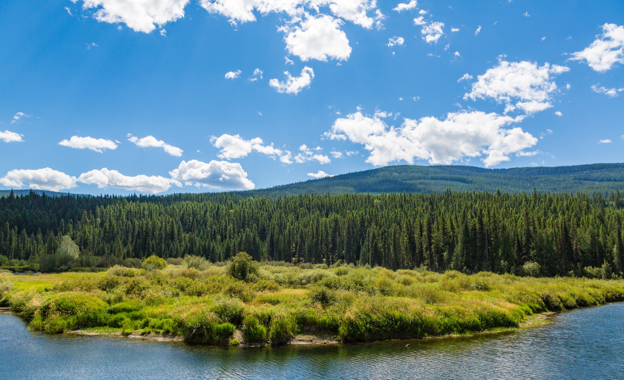
From the trailhead in the Northwest Peaks Scenic Area, the route climbs steadily through subalpine forest onto the open shoulder of Northwest Peak and up to the peak’s historic lookout site at 2,348 m. The final section runs across light bouldery ground and can hold snow well into summer. The peak is the highest point in the Northwest Peaks group and gives broad views into Montana, north Idaho and southern British Columbia. Return by the same route.
Why it is essential
Northwest Peak is the clearest true-summit day objective in the U.S. Purcell / Yaak country and the natural anchor of any selection here. It is the only route in the set that puts a walker on an alpine ridge above 2,300 m, and it delivers the widest cross-border view of any Kootenai north-side day hike.
Equipment
- Sturdy hiking boots for bouldery ground near the summit
- Trekking poles for the descent
- 2 L water and treatment
- Rain and wind shell plus a warm insulating layer for the summit
- Sun protection
- Bear spray and bear-safe food handling — grizzly habitat throughout
- Traction if snow persists
- Offline map, GPS and headtorch
- Full fuel and a spare tire — approach roads are remote
Hazards and notes
- Remote forest-road access and no cell coverage — leave an itinerary before setting out.
- Snowpack on the summit approach can persist into July; assess before committing.
- Light bouldery travel near the top — take care on loose rock.
- Grizzly bear habitat — carry bear spray, hike in groups where possible, and follow food-storage practice.
- Weather exposure on the summit; retreat if convection develops.
GPX / route file
| Source | URL | Format | Notes |
|---|---|---|---|
| AllTrails — Northwest Peak Trail | alltrails.com | Source map | Distance, gain, time and max elevation; AllTrails terms apply and direct GPX was not retrieved |
| OpenStreetMap — Northwest Peak / Yaak area | openstreetmap.org | OSM base map | Candidate for manual GPX creation under ODbL |
| USFS Kootenai — recreation | fs.usda.gov | Web page | Official forest-wide alerts and access context |
Sources
2. McGuire Lookout Trail
Snapshot
Itinerary
From the Rexford-side access, the route follows forested Kootenai NF tread up to the McGuire Lookout site, gaining a ridge view over the north Kootenai country and — on clear days — north into British Columbia. The distance is manageable but the approach roads are quiet enough that the walk still feels remote. Rocky spots and a couple of steeper pitches keep the tread honest, and route-finding to the trailhead is often more work than the hike itself.
Why it is essential
McGuire Lookout gives a manageable, view-rich lookout hike in the Purcell-side Kootenai country and balances the harder Northwest Peak and Cedar Lakes objectives with a route suitable for a shorter day or a first outing in the area.
Equipment
- Hiking shoes or light boots
- Trekking poles helpful on the descent
- 2 L water
- Rain and wind shell
- Sun protection
- Bear spray and food storage — grizzly habitat throughout
- Offline map, GPS and headtorch
- Full fuel — remote approach roads
Hazards and notes
- Rocky spots and steep sections — footing rewards care on the descent.
- Remote forest-road approach — cell coverage is intermittent to non-existent; carry paper or offline maps.
- Grizzly bear habitat — carry bear spray and hike in groups where possible.
- Route-finding to the trailhead can be the most demanding part of the day; verify current road status before setting out.
- No water on the ridge.
GPX / route file
| Source | URL | Format | Notes |
|---|---|---|---|
| AllTrails — McGuire Lookout Trail | alltrails.com | Source map | Distance, gain, time and max elevation; AllTrails terms apply |
| OpenStreetMap — McGuire Lookout / Rexford area | openstreetmap.org | OSM base map | Candidate for manual GPX creation under ODbL |
| USFS Kootenai — recreation | fs.usda.gov | Web page | Official forest-wide alerts and access context |
Sources
3. Black Butte Lookout Trail
Snapshot
Itinerary
The route climbs toward the Black Butte Lookout site on quiet forest-road-style tread. The grade is sustained but gentle for its length, and much of the walk is on what looks and feels like an old service road rather than a singletrack trail. It is less alpine than Northwest Peak — the summit sits under 1,250 m — but it delivers a usable lookout view and pairs well with a lower spring or autumn day when the higher routes are still snowbound or already snowed under.
Why it is essential
Black Butte adds a lower, shoulder-season lookout walk to a region where many of the stronger objectives are either remote, snowbound, or source-thin. It is the natural first-day-in-the-area option and a good rest-day objective between the harder summits and lakes.
Equipment
- Walking or hiking shoes
- 1.5–2 L water
- Rain layer and sun protection
- Bear spray and food storage — grizzly habitat throughout
- Offline map and simple navigation
- Full fuel — remote access
Hazards and notes
- Uphill grade is sustained even on the road-like sections; pace accordingly.
- Limited shade on open lookout approaches.
- Wildlife, including grizzly bear — carry bear spray.
- Remote access — cell coverage is intermittent to non-existent.
- Range attribution is inferred from Rexford / Kootenai context rather than an explicit range label on the route source; treat the “Purcell” label as regional geography rather than a rigorous boundary.
GPX / route file
| Source | URL | Format | Notes |
|---|---|---|---|
| AllTrails — Black Butte Lookout Trail | alltrails.com | Source map | Distance, gain, time and max elevation; AllTrails terms apply |
| OpenStreetMap — Black Butte Lookout / Rexford area | openstreetmap.org | OSM base map | Candidate for manual GPX creation under ODbL |
Sources
4. Shannon Lake via Historic Highway 2 West Trail
Snapshot
Itinerary
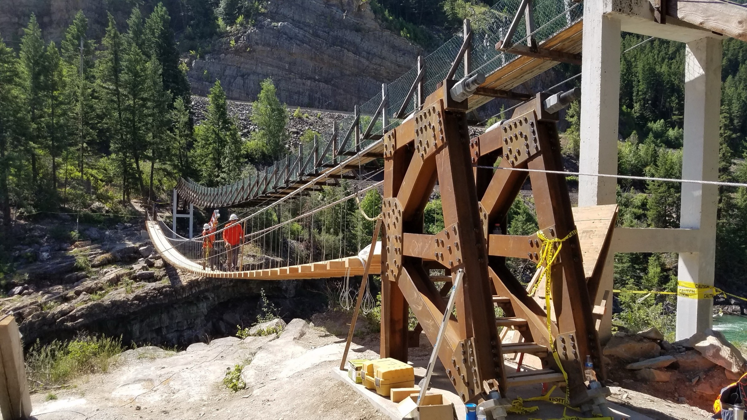
From the trail access on the Historic Highway 2 West corridor near Troy, the route follows the old road grade through forest, river, and eventually lake terrain to reach Shannon Lake. The walk mixes travel-corridor history — old road bed, former rail and highway alignments — with quiet Kootenai River-side forest scenery, and is one of the more accessible Purcell-side outings for a party wanting a shorter day at low elevation.
Why it is essential
The route adds a lower, historically themed walk to a set otherwise dominated by remote ridge and lake hikes. It is the natural early-spring or late-autumn choice from Troy and a friendly introduction to the area for parties not ready for the higher lookouts.
Equipment
- Hiking shoes with grip for slick tread
- 1.5–2 L water
- Rain layer
- Bear spray and food storage — grizzly habitat throughout
- Traction if icy
- Offline map
Hazards and notes
- Slick tread on shaded sections in shoulder seasons.
- Short steep pitches on the old highway grade.
- Road and rail history features may create informal spurs — stay on the main tread.
- Wildlife, including grizzly bear.
- Low-elevation heat or smoke in mid-summer can make the low corridor uncomfortable.
GPX / route file
| Source | URL | Format | Notes |
|---|---|---|---|
| AllTrails — Shannon Lake via Historic Highway 2 West Trail | alltrails.com | Source map | Distance, gain, time and max elevation; AllTrails terms apply |
| OpenStreetMap — Shannon Lake / Troy area | openstreetmap.org | OSM base map | Candidate for manual GPX creation under ODbL |
Sources
5. Cedar Lakes Trail
Snapshot
Itinerary
From the Libby-side access, the route climbs steadily through forest into the Cedar Lakes basin — a full mountain day with sustained ascent, mixed cedar and subalpine forest, and a high lake basin as the reward. It should be treated as a remote backcountry outing: long, steep, and with limited retreat options once committed. Return by the same route.
Why it is essential
Cedar Lakes supplies the long alpine-lake day in the U.S. Purcell / Kootenai set. It is included with a boundary caveat — the available trail source confirms Kootenai NF access but not a precise range label — and is retained as a Kootenai north-side representative because the character of the walk (long forest climb to a high lake basin) is the natural companion to the higher Purcell-side objectives.
Equipment
- Sturdy hiking boots
- Trekking poles for the descent
- 3–4 L water and treatment
- Rain and wind shell plus a warm insulating layer for the basin
- Sun protection and mosquito repellent
- Bear spray and bear-safe food storage — grizzly habitat throughout
- Traction if snow patches persist
- Offline map, GPS and headtorch
- High-energy food for a long day
Hazards and notes
- Long climb — pace and time management matter on a route of this length.
- Cold weather in the basin even in mid-summer.
- Remote access — cell coverage is intermittent to non-existent.
- Bears — carry bear spray and follow food-storage practice.
- Mosquitoes can be intense in the basin in July.
- Possible snow patches into July; assess before committing.
- Fatigue — treat as a full mountain day and start early.
GPX / route file
| Source | URL | Format | Notes |
|---|---|---|---|
| AllTrails — Cedar Lakes Trail | alltrails.com | Source map | Distance, gain, time and max elevation; AllTrails terms apply |
| OpenStreetMap — Cedar Lakes / Libby area | openstreetmap.org | OSM base map | Candidate for manual GPX creation under ODbL |
Sources
Routes excluded as out of scope
The following sit in or adjacent to the U.S. Purcell / Kootenai country but fall outside a clean day-hike entry, are typically done as backpacks, or sit in neighbouring ranges that are better covered separately.
- Cabinet Mountains Wilderness routes — Leigh Lake, Rock Lake, Snowshoe Lake, and the classic Cabinet Wilderness summit walks are neighbouring-range objectives that deserve their own article.
- Ten Lakes / Therriault routes. Considered but not selected because their local range placement is less clear in the available sources; retained for a future pass.
- Idaho Selkirk / Priest Lake routes. These sit west of the Kootenai River in the Idaho Panhandle Selkirks, a separate range from the U.S. Purcells.
- Canadian Purcell high-country routes. The Bugaboos and neighbouring British Columbia objectives sit north of the border and are handled in a separate article.
- Wilderness backpacks in the Yaak. Longer multi-day trips in the northern Kootenai are outside a day-hike catalogue.
Further reading
| Source | URL |
|---|---|
| USFS Kootenai — recreation | fs.usda.gov |
| USFS Kootenai — Yaak area | fs.usda.gov |
| USFS Idaho Panhandle — recreation | fs.usda.gov |
| Storm — Canadian Purcell Mountains | /guidebooks/canada-columbia-mountains-purcell-mountains-essential-day-hikes |
| Storm — Selkirk Mountains and Rogers Pass | /guidebooks/canada-western-cordillera-columbia-mountains-selkirk-mountains-rogers-pass-essential-day-hikes |
| Wikipedia — Purcell Mountains | en.wikipedia.org |
| Wikipedia — Northwest Peak (Montana) | en.wikipedia.org |
| Wikipedia — Kootenai National Forest | en.wikipedia.org |
| Wikipedia — Yaak, Montana | en.wikipedia.org |
| Wikimedia Commons — Kootenai National Forest | commons.wikimedia.org |
| OpenStreetMap (ODbL 1.0) | openstreetmap.org |
Missing data / follow-up work
- AllTrails reuse terms for the source maps referenced above are unresolved; the geometry is useful for planning but direct republication should be treated cautiously until terms are confirmed.
- No official USFS GPX or KML was located for any of the five routes in this pass; downloadable route files should be added on a subsequent pass.
- Range attribution for Black Butte Lookout, Shannon Lake and Cedar Lakes is partly inferred from the Kootenai / Troy / Libby / Rexford access context rather than an explicit “Purcell Mountains” label on the trail source — worth confirming against a GIS range boundary before public release.
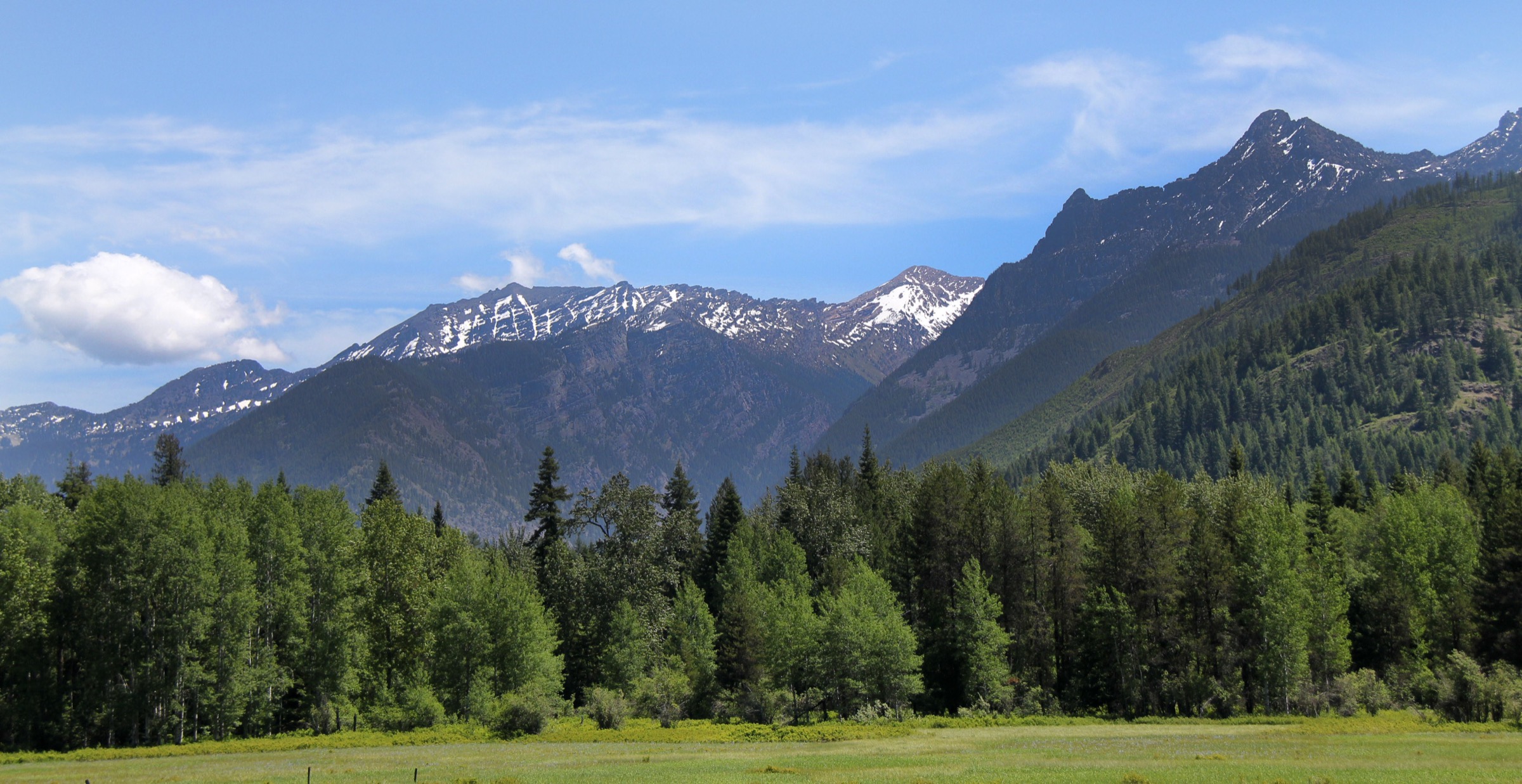
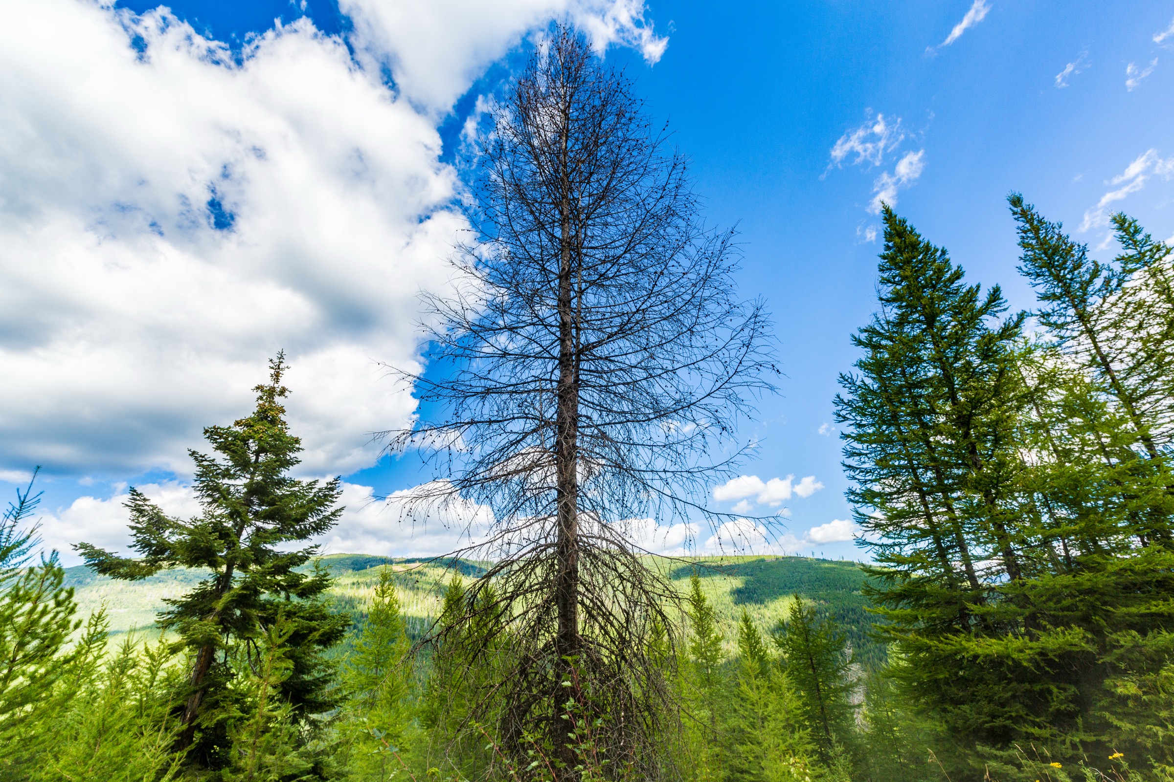
- No licence-compatible route-specific images were located for any of the five hikes; the cover image is a Kootenai National Forest / Sylvanite landscape by Tony Webster (CC BY 2.0).
- Ten Lakes and Therriault routes were considered but not selected because their local range placement is unclear in the available sources; a follow-up pass could revisit them once boundary work is done.
- Current fire restrictions, wilderness closures, and forest-road status for the Yaak, Rexford, Troy and Libby districts should be rechecked immediately before travel — flood-related road closures and wildfire smoke are common seasonal issues.
- AllTrails maximum-elevation values are used above but should be cross-checked against GIS or USFS sources before wider distribution.