Regional overview
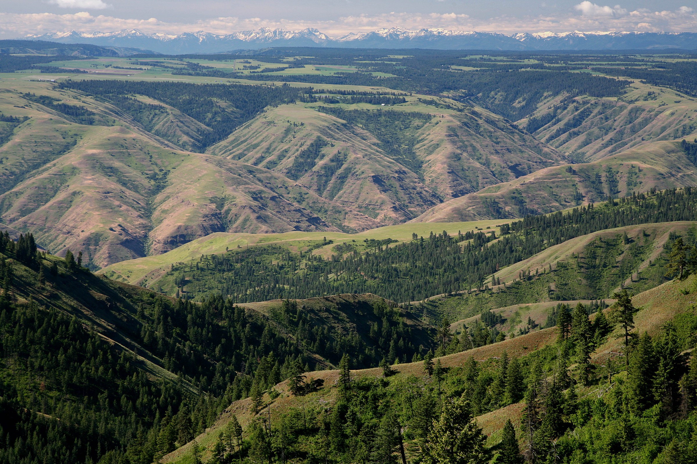
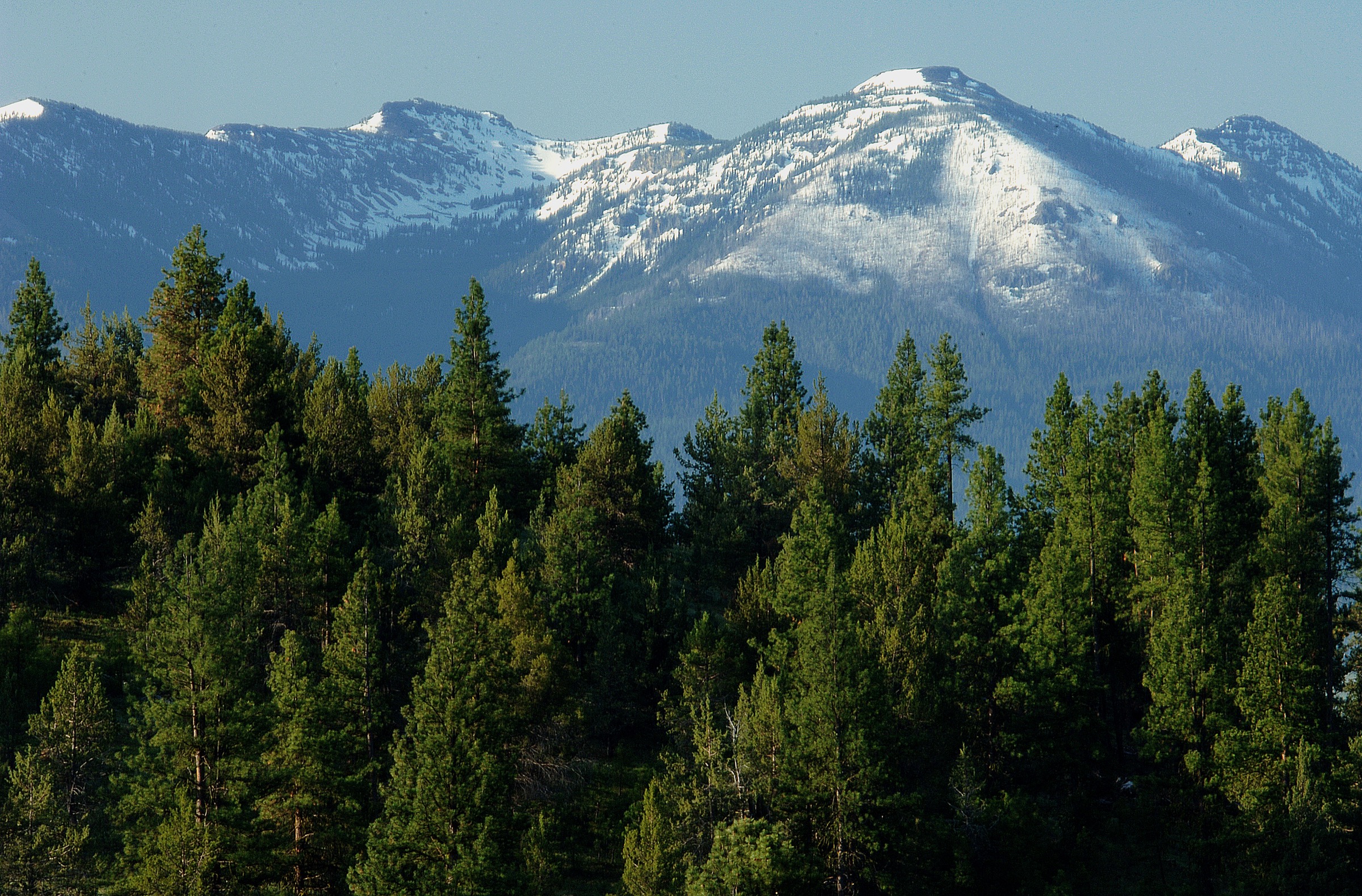
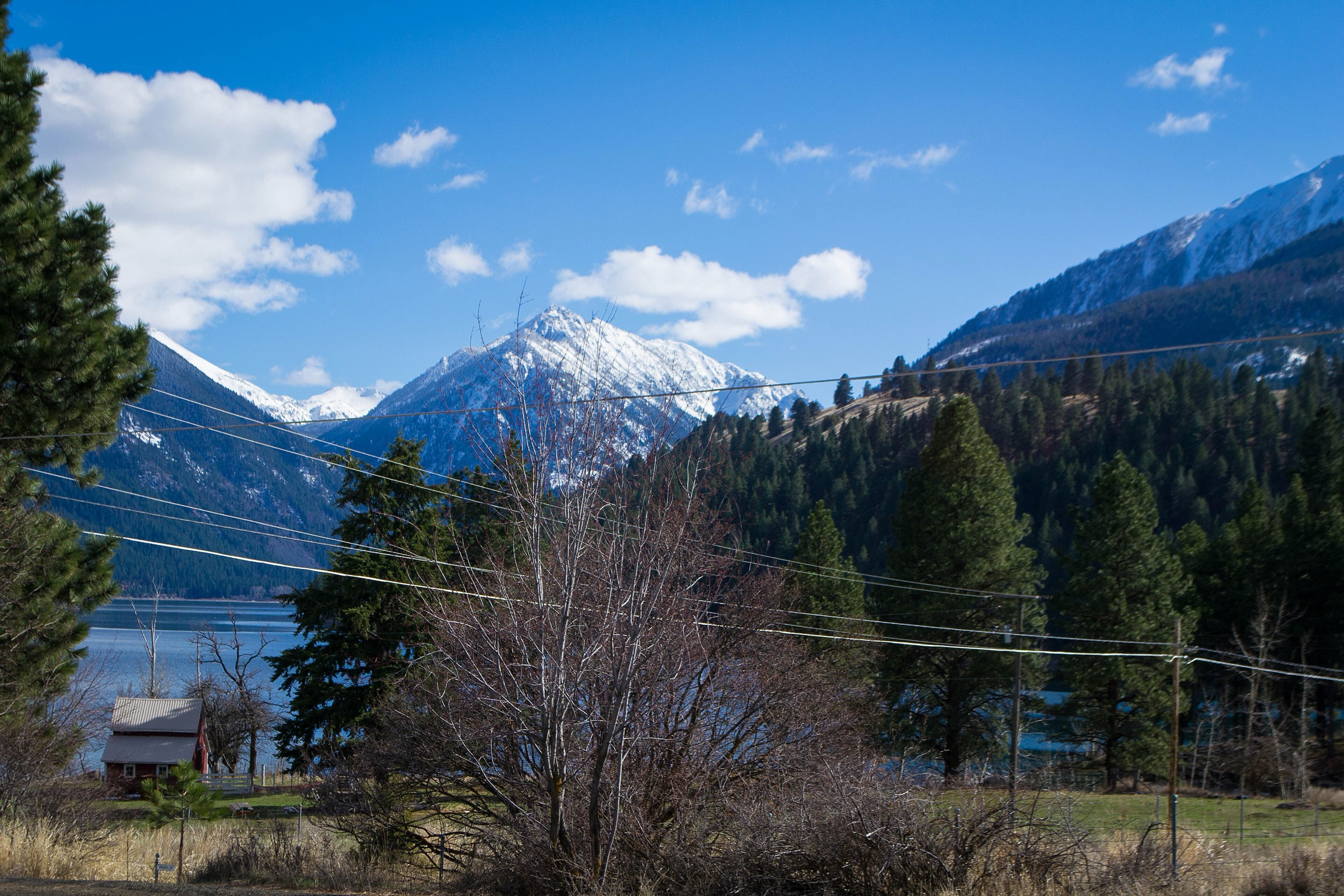
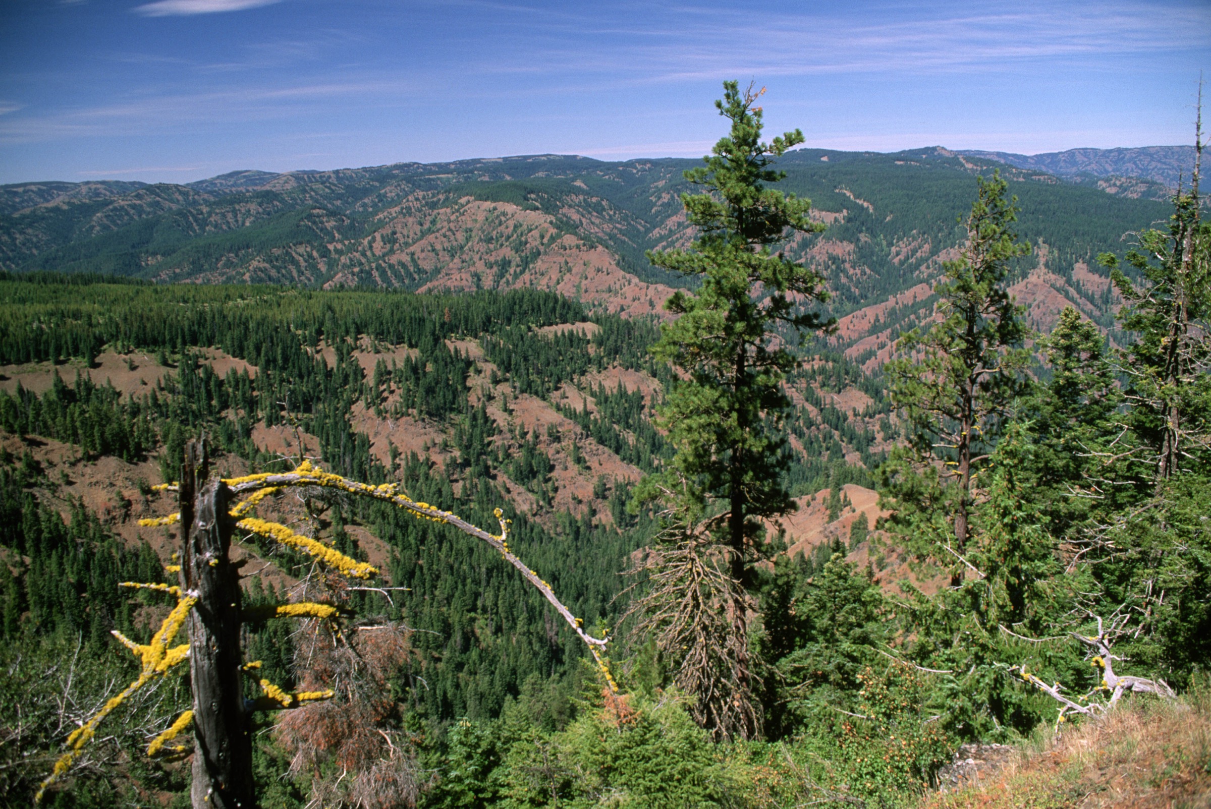
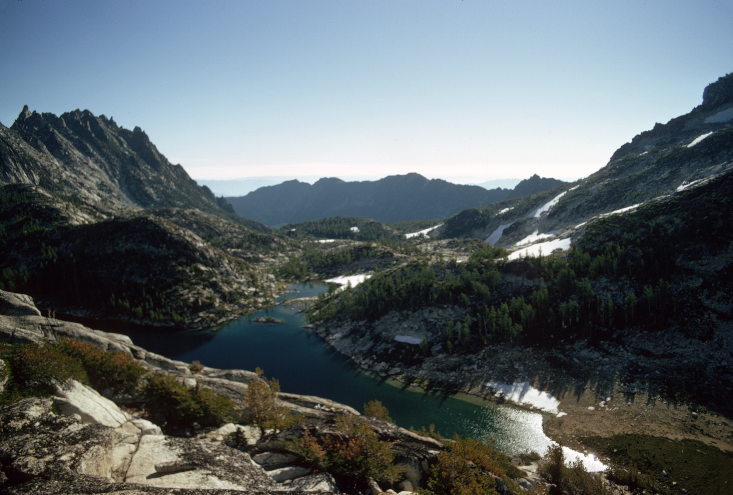
The Eagle Cap Wilderness is the high granite core of the Wallowa Mountains in northeastern Oregon, inside the Wallowa-Whitman National Forest. It is Oregon’s largest wilderness, with more than 60 named alpine lakes, glacial valleys, granite ridges, meadows and summits approaching 3,000 m. Public reference sources describe roughly 534 miles of trail, reached from the Wallowa Lake, Lostine, Hurricane Creek, Halfway and other sides of the range.
The hiking character is more committing than the frontcountry Wallowa Lake walks. Many classic routes are long out-and-backs on wilderness trails, and several are commonly backpacked even when strong day hikers do complete them in a day. Two routes below sit above the usual 25 km day-hike guideline because they are famous, non-technical summer objectives: Ice Lake with the Matterhorn, and Mirror Lake with Eagle Cap. Both should be treated as very strenuous day hikes for fit, early-starting parties, with backpacking or a shorter lake-only turnaround as the conservative alternative.
The practical season is usually July to September for high basins and summits, sometimes into early October before major snow. Expect lingering snowfields, difficult creek crossings, loose talus and scree, altitude, sudden storms, limited signage, limited cell service and wilderness restrictions. Mechanised travel is prohibited in wilderness; overnight users should verify current self-issue permit, campfire, group-size, food-storage and parking-pass rules with the Wallowa-Whitman National Forest before travel.
See also: Wallowa Mountains, Oregon · Strawberry Mountains, Oregon.
Selection rationale
The five walks below cover Eagle Cap’s essential day-hike forms. Ice Lake and the Matterhorn is the north-side granite-basin high route. Aneroid Lake is the east-side Wallowa Lake day. Mirror Lake and Eagle Cap summit is the central classic, reached from the Lostine side. Maxwell Lake adds a shorter but steep Lostine-side lake objective. Echo Lake via Hurricane Creek completes the set from the west, using the Hurricane Creek and Billy Jones trails. Together they represent the wilderness’s north, east, central and west lake-basin character. Route stats were cross-checked against AllTrails route pages and public reference articles; no downloadable GPX was retrieved and route-file status rests on official Wallowa-Whitman map pages plus OpenStreetMap.
Summary table
| # | Hike | Country | Route type | Distance | Gain | Max elevation | Difficulty |
|---|---|---|---|---|---|---|---|
| 1 | Ice Lake Trail to Matterhorn Peak | USA | Out-and-back | 30.7 km | 1,639 m | 2,997 m | Very hard |
| 2 | Aneroid Lake via East Fork Wallowa Trail | USA | Out-and-back | 21.4 km | 906 m | 2,310 m | Hard |
| 3 | East Fork Lostine to Mirror Lake and Eagle Cap summit | USA | Out-and-back | 31.5 km | 1,293 m | 2,919 m | Very hard |
| 4 | Maxwell Lake Trail | USA | Out-and-back | 12.2 km | 726 m | 2,383 m | Hard |
| 5 | Echo Lake via Hurricane Creek Trail | USA | Out-and-back | 23.5 km | 1,120 m | 2,562 m | Hard |
1. Ice Lake Trail to Matterhorn Peak
Snapshot
Itinerary
Climb from the Wallowa Lake side toward Ice Lake, a high lake on the south side of the Hurwal Divide. From the lake, continue on rougher, steeper terrain toward the Matterhorn. Return by the same route. The lake-only version is a major day by itself, roughly 24–25 km out and back; exact lake-only gain was not separately verified.
Why it is essential
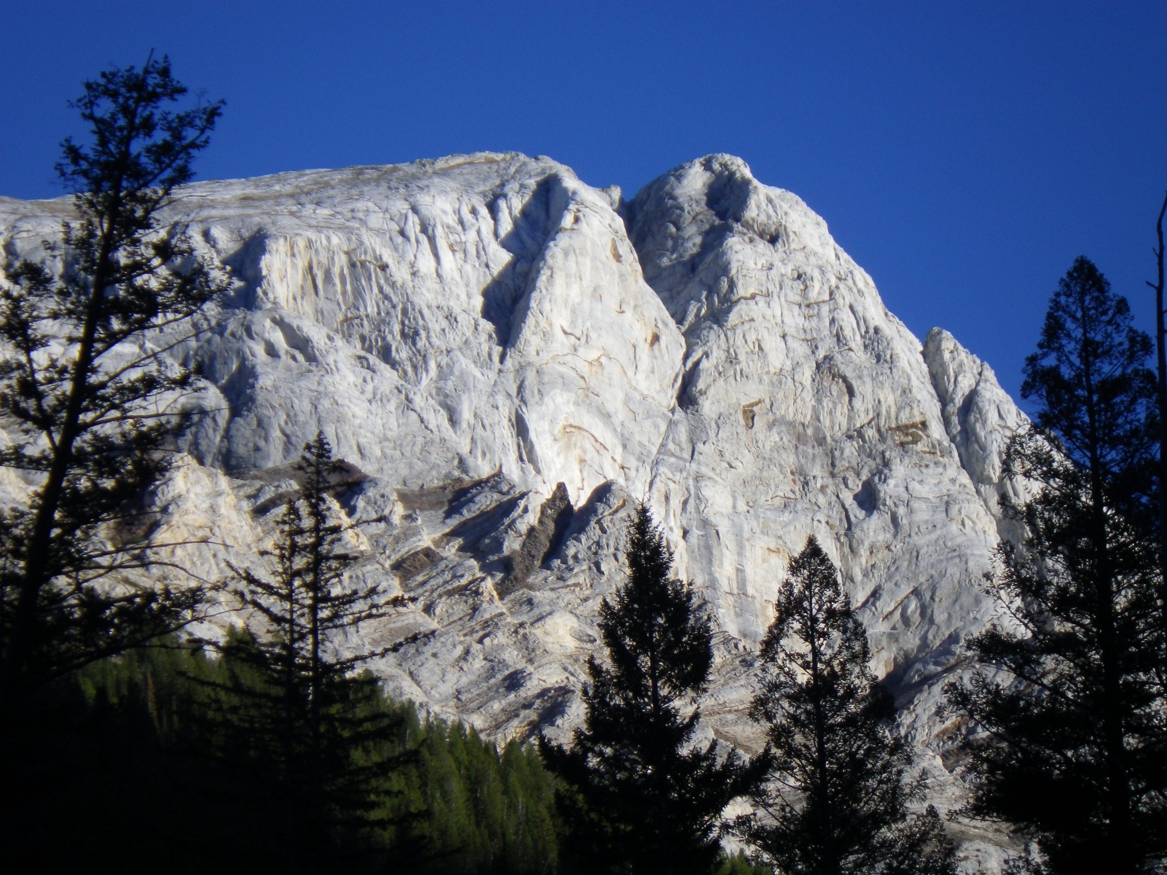
Ice Lake and the Matterhorn form one of Eagle Cap’s best-known high routes: lake basin, waterfalls, granite walls and a summit that is frequently cited among the most dramatic Wallowa viewpoints.
Equipment
- Sturdy hiking or mountain boots
- Trekking poles
- 3–4 L water and treatment
- Full food for a 12-hour day
- Warm layers, wind and rain shell
- Sun protection
- Offline map and GPS
- Headlamp and emergency bivy
- Traction and snow-route judgement in early season
Hazards and notes
- Beyond the usual catalogue day-hike distance — many parties backpack to Ice Lake and climb the Matterhorn the next morning.
- Above Ice Lake: loose rock, steep tread, possible lingering snow, exposure to weather and resident mountain goats.
- Very limited cell service; carry navigation and communication backup.
GPX / route file
| Source | URL | Format | Notes |
|---|---|---|---|
| AllTrails — Ice Lake and Matterhorn Peak | alltrails.com | Source map / proprietary trail database | Direct GPX not retrieved; do not reuse geometry without licence/export authorisation |
| Wallowa-Whitman National Forest maps and guides | fs.usda.gov | Official source-map portal | Use for manual route checking and current trail-status context |
| OpenStreetMap search | openstreetmap.org | Source map | Reusable only under ODbL terms with attribution/share-alike |
Sources
- AllTrails — Ice Lake and Matterhorn Peak
- Ice Lake, Oregon — reference page
- Matterhorn (Oregon) — reference page
- Wallowa-Whitman National Forest — maps and guides
2. Aneroid Lake via East Fork Wallowa Trail
Snapshot
Itinerary
From the East Fork Wallowa Trailhead near the south end of Wallowa Lake, climb the East Fork Wallowa River corridor toward Aneroid Lake. The route passes river, forest and intermediate lake / bridge landmarks before reaching the high cirque lake basin. Return the same way.
Why it is essential
Aneroid Lake is one of the classic Wallowa Lake-side wilderness day objectives: long enough to feel like a real mountain day, but more contained than the Matterhorn or Eagle Cap summit routes.
Equipment
- Hiking boots and trekking poles
- 3 L water and treatment
- Food for a full day
- Wind and rain shell
- Warm layer
- Bear spray
- Offline map
- Headlamp for slower parties
Hazards and notes
- Snow and avalanche terrain make this a different proposition outside summer.
- Expect creekside wet areas, long sustained climbing and limited cell coverage.
- Wilderness rules apply; verify current self-issue permit and parking-pass requirements.
GPX / route file
| Source | URL | Format | Notes |
|---|---|---|---|
| AllTrails — Aneroid Lake via East Fork Trail | alltrails.com | Source map / proprietary trail database | Direct GPX not retrieved; do not reuse geometry without licence/export authorisation |
| Wallowa-Whitman National Forest maps and guides | fs.usda.gov | Official source-map portal | Use for manual route checking and current trail-status context |
| OpenStreetMap search | openstreetmap.org | Source map | Reusable only under ODbL terms with attribution/share-alike |
Sources
- AllTrails — Aneroid Lake via East Fork Trail
- Aneroid Lake — reference page
- Wallowa-Whitman National Forest — maps and guides
3. East Fork Lostine to Mirror Lake and Eagle Cap summit
Snapshot
Itinerary
From the East Fork Lostine / Two Pan side, hike into the central lake basin toward Mirror Lake, then continue up the non-technical but strenuous summit route to Eagle Cap. Return by the same route. A conservative alternative is to make Mirror Lake the turnaround; exact Mirror Lake-only day stats were not separately verified.
Why it is essential
Eagle Cap is the namesake summit of the wilderness and rises above Mirror Lake, one of the area’s signature alpine lake settings. This is the central classic of the range, even though many parties sensibly split it as an overnight.
Equipment
- Mountain boots and trekking poles
- 3–4 L water and treatment
- Extra food for a 10–12 hour day
- Warm layers, wind and rain shell
- Sun protection
- Offline map and GPS
- Headlamp and emergency bivy
Hazards and notes
- Beyond the normal catalogue distance guideline; treat as a very strenuous day.
- Snowfields, storms, altitude, fatigue and route-finding near the summit can make the day serious.
- Backpacking to the lake basin is the conservative option.
GPX / route file
| Source | URL | Format | Notes |
|---|---|---|---|
| AllTrails — Mirror Lake to Eagle Cap | alltrails.com | Source map / proprietary trail database | Direct GPX not retrieved; do not reuse geometry without licence/export authorisation |
| Wallowa-Whitman National Forest maps and guides | fs.usda.gov | Official source-map portal | Use for manual route checking and current trail-status context |
| OpenStreetMap search | openstreetmap.org | Source map | Reusable only under ODbL terms with attribution/share-alike |
Sources
- AllTrails — Mirror Lake to Eagle Cap
- Eagle Cap — reference page
- Mirror Lake (Wallowa County, Oregon) — reference page
- Eagle Cap Wilderness — reference page
4. Maxwell Lake Trail
Snapshot
Itinerary
From the Lostine River side, follow Maxwell Lake Trail #1674 across an early bridge, then climb switchbacks and cross Maxwell Creek before the final steeper approach to the lake. Return the same way.
Why it is essential
Maxwell Lake is a compact but hard Eagle Cap lake hike. It gives the high-tarn reward, steep wilderness trail feel and Lostine-side access without the 30 km commitment of Eagle Cap or the Matterhorn.
Equipment
- Hiking boots and trekking poles
- 2–3 L water and treatment
- Wind and rain shell
- Warm layer
- Sun protection
- Offline map
- Bear spray
Hazards and notes
- The Maxwell Creek crossing may be difficult or unsafe during high water.
- The final section is much steeper than the approach.
- Snow can linger into early summer.
GPX / route file
| Source | URL | Format | Notes |
|---|---|---|---|
| AllTrails — Eagle Cap Wilderness Maxwell Lake Trail | alltrails.com | Source map / proprietary trail database | Direct GPX not retrieved; do not reuse geometry without licence/export authorisation |
| Wallowa-Whitman National Forest maps and guides | fs.usda.gov | Official source-map portal | Use for manual route checking and current trail-status context |
| OpenStreetMap search | openstreetmap.org | Source map | Reusable only under ODbL terms with attribution/share-alike |
Sources
- AllTrails — Eagle Cap Wilderness Maxwell Lake Trail
- Maxwell Lake — reference page
- Wallowa-Whitman National Forest — maps and guides
5. Echo Lake via Hurricane Creek Trail
Snapshot
Itinerary
Start from the Hurricane Creek trailhead and follow the lower Hurricane Creek Trail before turning onto the steeper Billy Jones Trail toward Echo Lake. The first part is a valley approach; the final climb gains height quickly through rougher mountain terrain to the lake. Return the same way.
Why it is essential
This route represents the Hurricane Creek side of Eagle Cap: a major access valley, steep side-trail climbing and a high lake destination that fits within a long but normal day-hike distance.
Equipment
- Hiking boots and trekking poles
- 3 L water and treatment
- Bear spray
- Wind and rain shell
- Warm layer
- Sun protection
- Offline map
- Headlamp
Hazards and notes
- Steep climbing above the main valley, talus or rocky sections, and creek crossings.
- Lingering snow early in the season.
- Very limited cell service.
- AllTrails notes self-issued wilderness permits and parking-pass considerations; verify current Wallowa-Whitman rules before travel.
GPX / route file
| Source | URL | Format | Notes |
|---|---|---|---|
| AllTrails — Echo Lake via Hurricane Creek Trail | alltrails.com | Source map / proprietary trail database | Direct GPX not retrieved; do not reuse geometry without licence/export authorisation |
| Wallowa-Whitman National Forest maps and guides | fs.usda.gov | Official source-map portal | Use for manual route checking and current trail-status context |
| OpenStreetMap search | openstreetmap.org | Source map | Reusable only under ODbL terms with attribution/share-alike |
Sources
- AllTrails — Echo Lake via Hurricane Creek Trail
- Wallowa-Whitman National Forest — recreation
- Wallowa-Whitman — Wallowa Mountains / Eagle Cap area
- Wallowa-Whitman National Forest — maps and guides
Further reading
- Wallowa-Whitman National Forest — Wallowa Mountains / Eagle Cap area
- Wallowa-Whitman National Forest — maps and guides
- Eagle Cap Wilderness — reference page
- Wallowa Mountains — reference page
Missing data / follow-up work
- No official GPX or KML downloads were retrieved for any of the five routes; route-file status rests on AllTrails route pages plus the Wallowa-Whitman map portal and OpenStreetMap.
- Lake-only turnaround stats (distance, gain and time) for Ice Lake without the Matterhorn and Mirror Lake without Eagle Cap are not separately verified and need GIS or topographic backfill.
- Licence-compatible route-specific images for Mirror Lake, Maxwell Lake and Echo Lake / Hurricane Creek are not yet in place at the site’s 2000 px floor; open-licence images at Wikimedia Commons currently sit below that threshold.
- Current-year self-issue wilderness permit, group-size, campfire, food-storage and parking-pass rules should be re-checked against the Wallowa-Whitman National Forest recreation portal before publication.