Regional overview
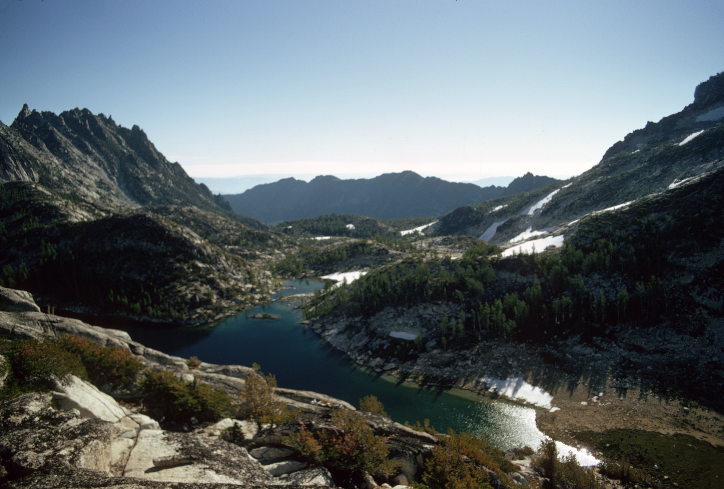
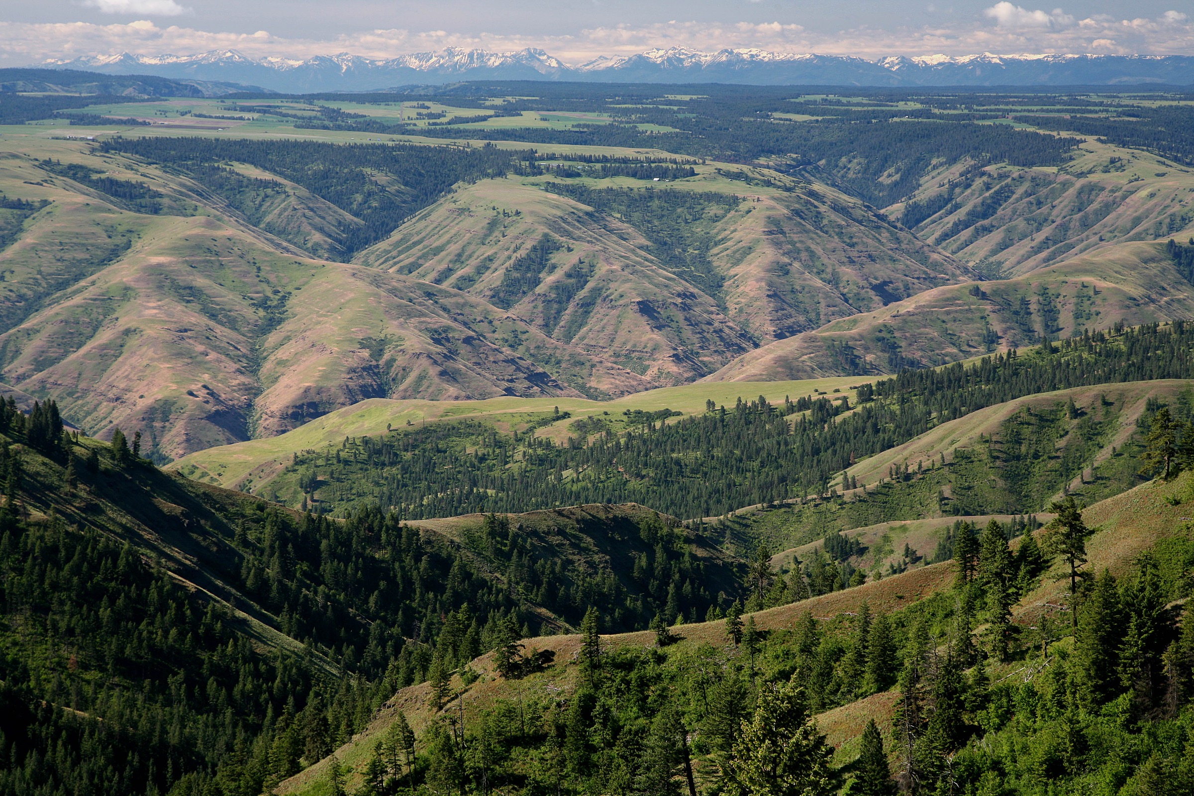
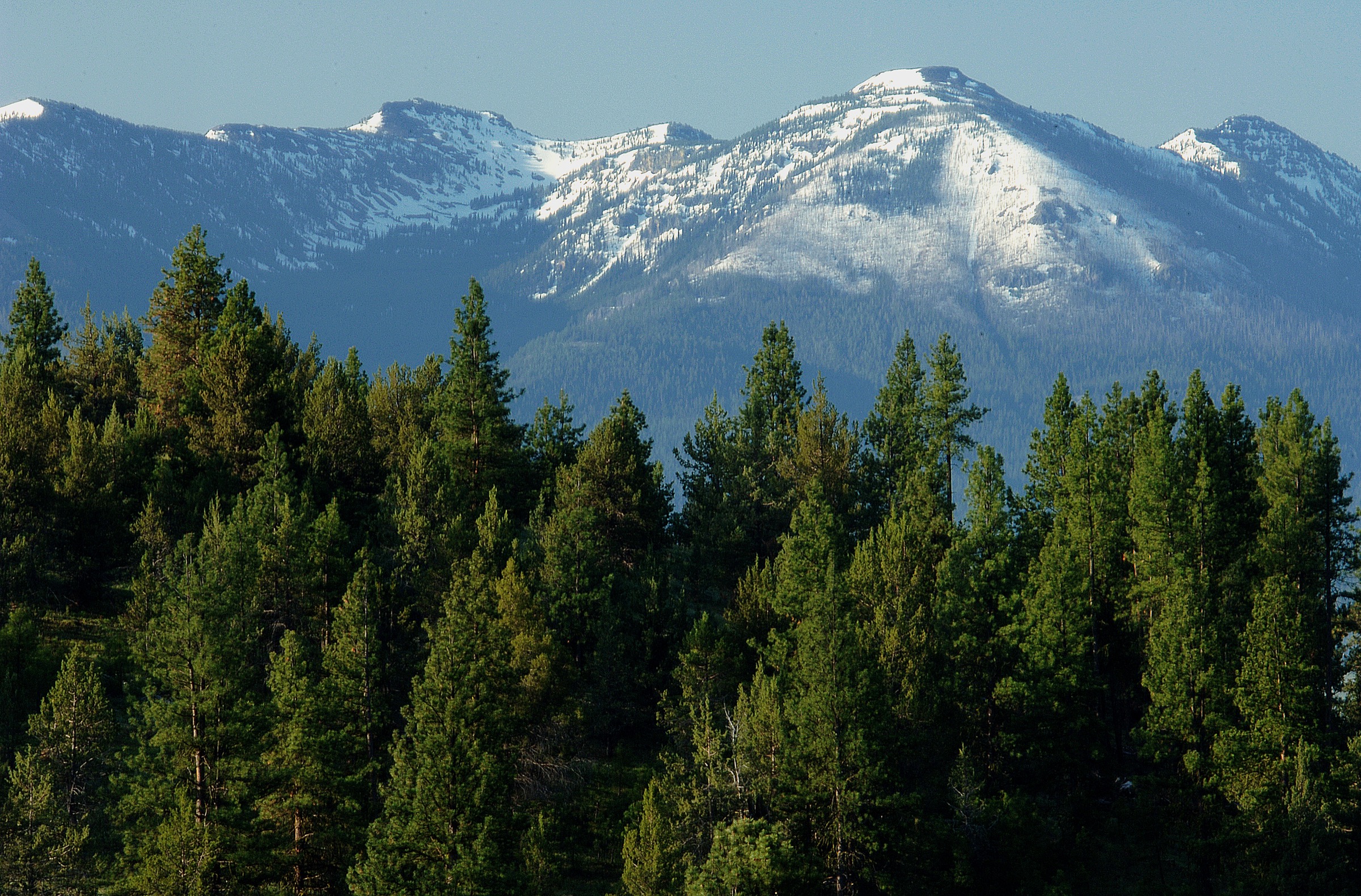
The Strawberry Mountains rise east of John Day and Prairie City in eastern Oregon, inside the Malheur National Forest. The range is part of the wider Blue Mountains system but keeps its own high, glaciated character: U-shaped valleys, alpine lakes, waterfalls, dry ridges, and the 2,755 m / 9,038 ft summit of Strawberry Mountain.
The Malheur NF Strawberry Mountain Wilderness page describes approximately 68,700 acres, seven alpine lakes, elevations from about 1,220 m / 4,000 ft up to Strawberry Mountain, diverse life zones, and more than 100 miles of trail. It also notes that most use occurs July to November in a normal year, that snow can occur at higher elevations at any time, and that wildfire impacts can leave fallen trees, overgrown trail, lack of shade, and fire-weakened timber.
The Strawberry Campground / Strawberry Basin Trailhead is the key eastern access for several classic hikes. Other routes use rougher high-clearance forest-road approaches. No regular public transport was verified for any of the routes below.
See also: Wallowa Mountains, Oregon · Elkhorn Mountains, Oregon.
Selection rationale
These five hikes cover the core Strawberry Mountains day-hike catalogue: the famous Strawberry Lake / Little Strawberry Lake waterfall route, the Strawberry Mountain summit, the quieter Slide Lake basin, the short high High Lake approach, and Buckhorn Meadows to Indian Creek Butte for a drier, more open backcountry contrast to the lake-heavy east side.
No direct GPX/KML downloads were retrieved in this pass — AllTrails and OSM links appear only as source-map references. Route geometry reuse remains unresolved unless the data is recreated or separately licensed.
Summary table
| # | Hike | Start point | Type | Distance | Gain | Max elevation | Difficulty |
|---|---|---|---|---|---|---|---|
| 1 | Strawberry Lake and Little Strawberry Lake | Strawberry Campground | Out-and-back | 11.1 km / 6.9 mi | 421 m / 1,381 ft | 2,126 m / 6,976 ft | Hard |
| 2 | Strawberry Mountain via Basin Trail #375 | Strawberry Campground | Out-and-back | 20.0 km / 12.4 mi | 1,026 m / 3,366 ft | 2,759 m / 9,052 ft | Hard |
| 3 | Slide Lake Trail | Strawberry Campground | Out-and-back | 13.4 km / 8.3 mi | 512 m / 1,680 ft | 2,212 m / 7,257 ft | Hard |
| 4 | High Lake | High Lake access via NF 1640 | Out-and-back | 4.0 km / 2.5 mi | 165 m / 541 ft | 2,435 m / 7,988 ft | Moderate |
| 5 | Buckhorn Meadows to Indian Creek Butte | Buckhorn Meadow Trailhead | Out-and-back | 17.1 km / 10.6 mi | 790 m / 2,592 ft | 2,403 m / 7,883 ft | Hard |
Essential day-hikes
1. Strawberry Lake and Little Strawberry Lake Trail
Snapshot
Itinerary. From Strawberry Campground, follow Strawberry Basin Trail #375 to Strawberry Lake. Continue past the lake toward Strawberry Falls, then climb onward to Little Strawberry Lake before returning by the same route.
Why it is essential. This is the signature hike of the Strawberry Mountains: the main lake basin, the waterfall, the glacial scenery, and the higher Little Strawberry Lake all in one direct day.
Equipment. Boots or sturdy trail shoes, water treatment, extra water, sun protection, bug protection, warm layer, rain shell, offline map.
Hazards and notes. The final forest road to the trailhead can be rough. Recent trip reports note downed trees and steep sections. The Forest Service warns of rapidly changing weather, fire impacts, and the need to pack out all trash. Access: Prairie City → County Road 60 → Forest Road 6001 to Strawberry Campground.
GPX / route file. No official GPX/KML retrieved. Reference: AllTrails — Strawberry Lake and Little Strawberry Lake (proprietary geometry; do not reuse directly). OSM base for manual tracing: OSM search.
Sources. Malheur NF — Strawberry Campground; Wikipedia — Strawberry Lake (Oregon).
2. Strawberry Mountain via Strawberry Basin Trail #375
Snapshot
Itinerary. Start at Strawberry Campground and follow Strawberry Basin Trail #375 past Strawberry Lake and Strawberry Falls. Above the lake the trail steepens, passes views back across the basin and the remains of an old wooden cabin, then climbs to the summit of Strawberry Mountain. Return the same way.
Why it is essential. Strawberry Mountain is the high point and namesake summit of the range. The route links the classic lake basin with a full 360-degree summit objective in one long day.
Equipment. Full mountain day kit — boots, poles, water treatment, extra water, food, headlamp, sun protection, insect protection, wind/warm layer, rain shell, offline navigation.
Hazards and notes. A long day with substantial ascent. Snow can linger or arrive at height outside midsummer. Thunderstorms, heat, downed trees, fire-weakened timber, and a rough final road are all relevant.
GPX / route file. No official GPX/KML retrieved. Reference: AllTrails — Strawberry Mountain via Strawberry Basin Trail #375 (proprietary geometry). OSM base: OSM search.
Sources. Malheur NF — Strawberry Mountain Wilderness; Malheur NF — Strawberry Campground; Wikipedia — Strawberry Mountain (Oregon).
3. Slide Lake Trail
Snapshot
Itinerary. From Strawberry Campground, take Strawberry Basin Trail #375, turn onto Slide Basin Trail #372, continue to Skyline Trail #385, then follow the Slide Lake Trail #385A spur to Slide Lake. Return by the same route.
Why it is essential. Slide Lake gives a quieter alpine-lake objective beyond the busier Strawberry Lake basin while still using the classic trail network from Strawberry Campground.
Equipment. Boots, map/offline GPS, water treatment and water, poles, bug protection, sun protection, warm layer, rain shell.
Hazards and notes. Expect downed trees, mosquitoes, and potentially confusing junctions. Snow or wet tread can linger in shaded basins.
GPX / route file. No official GPX/KML retrieved. Reference: AllTrails — Slide Lake Trail (proprietary geometry). OSM base: OSM search.
Sources. Malheur NF — Strawberry Mountain Wilderness.
4. High Lake
Snapshot
Itinerary. Use the High Lake access route for a short climb from an already-high trailhead to the alpine lake basin, then return the same way. This is the shortest route in the selection, but it starts high and still requires remote-road planning.
Why it is essential. High Lake represents the Strawberry Mountains’ compact high-lake terrain: a short day hike that reaches a true alpine lake without the longer commitments of Strawberry Mountain or Slide Lake.
Equipment. Trail shoes or boots, water, sun protection, warm layer, rain shell, offline navigation for the road approach.
Hazards and notes. The road approach is the main complication. Do not rely blindly on general-purpose navigation apps — the route record warns to stay on bumpy gravel NF 1640 rather than being led onto unsuitable dirt roads.
GPX / route file. No official GPX/KML retrieved. Reference: AllTrails — High Lake (proprietary geometry). OSM base: OSM search.
Sources. Malheur NF — Strawberry Mountain Wilderness.
5. Buckhorn Meadows Trail to Indian Creek Butte
Snapshot
Itinerary. From Buckhorn Meadow Trailhead, climb steeply north through high-desert sagebrush and open forest toward Indian Creek Butte. The route reaches the summit area with broad views over the drier side of the Strawberry Mountain Wilderness, then returns the same way.
Why it is essential. This hike balances the lake-heavy Strawberry selection with a drier summit / meadow route, showing the range’s high-desert edge and open butte terrain.
Equipment. Full mountain day kit — extra water, sun protection, hat, offline navigation, poles, wind/rain layer, food, headlamp.
Hazards and notes. Described as advanced backcountry hiking. Water may be scarce, weather can change quickly, and the open high-desert approach can be hot and exposed.
GPX / route file. No official GPX/KML retrieved. Reference: AllTrails — Buckhorn Meadows to Indian Creek Butte (proprietary geometry). OSM base: OSM search.
Sources. Malheur NF — Strawberry Mountain Wilderness.
Routes considered but excluded as out of scope
- Multi-day Skyline Trail traverses through the wilderness. More natural as backpacking routes than day hikes.
- Off-trail Strawberry Range scrambles and connecting ridges. Route-finding above 7,000 ft in this wilderness is a separate mountaineering-style objective.
- Full 100+ mile trail-network loops. Outside the day-hike remit; day-section turnarounds appear above where relevant.
Further reading
- Malheur National Forest — Strawberry Mountain Wilderness — wilderness overview, seasons, trail-condition caveats.
- Malheur National Forest — Strawberry Campground — key trailhead camping and access.
- Sister catalogue: USA — Eagle Cap Wilderness, Oregon for the neighbouring Wallowa Mountains high country.
- Sister catalogue: USA — Wallowa Mountains, Oregon for the frontcountry Wallowa Lake side.
Missing data and follow-up work
- No official downloadable GPX or KML was resolved for any of the five routes; AllTrails geometry is proprietary and OSM ways will need manual tracing.
- Elevation-loss figures are quoted only as symmetric on out-and-backs; no separate cumulative-loss data was verified.
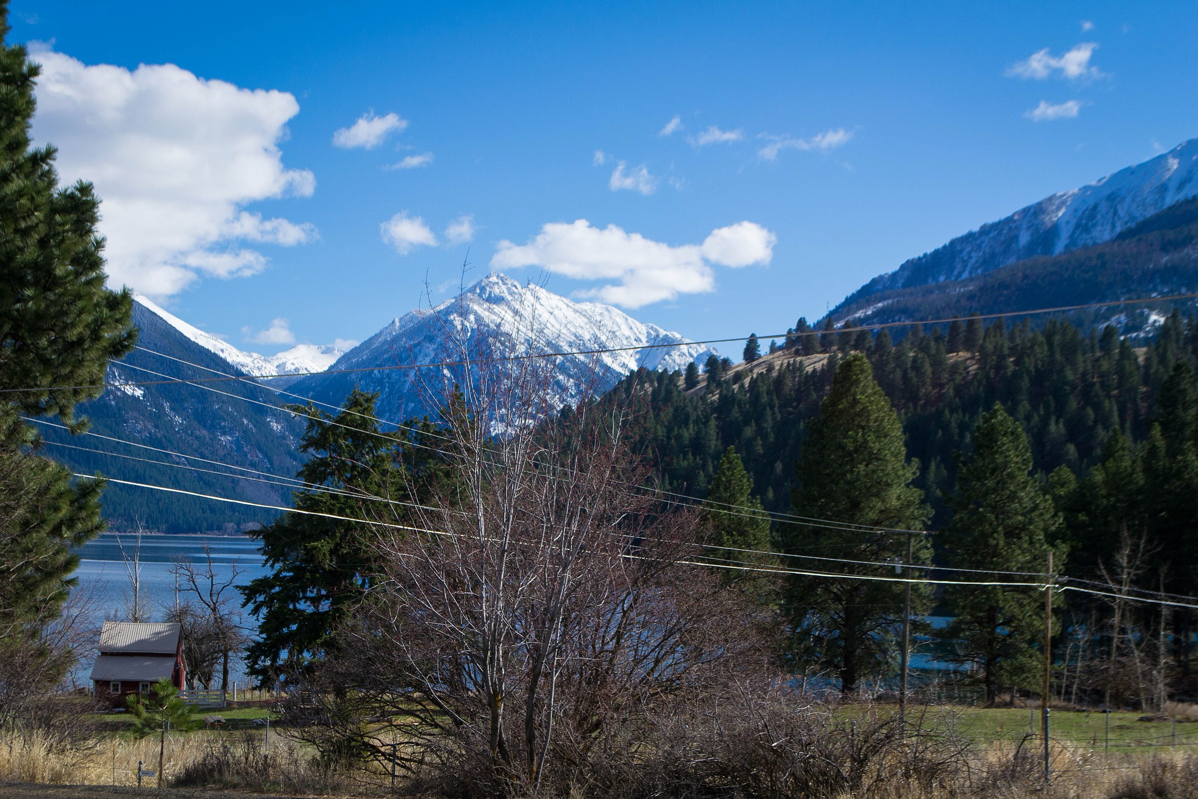
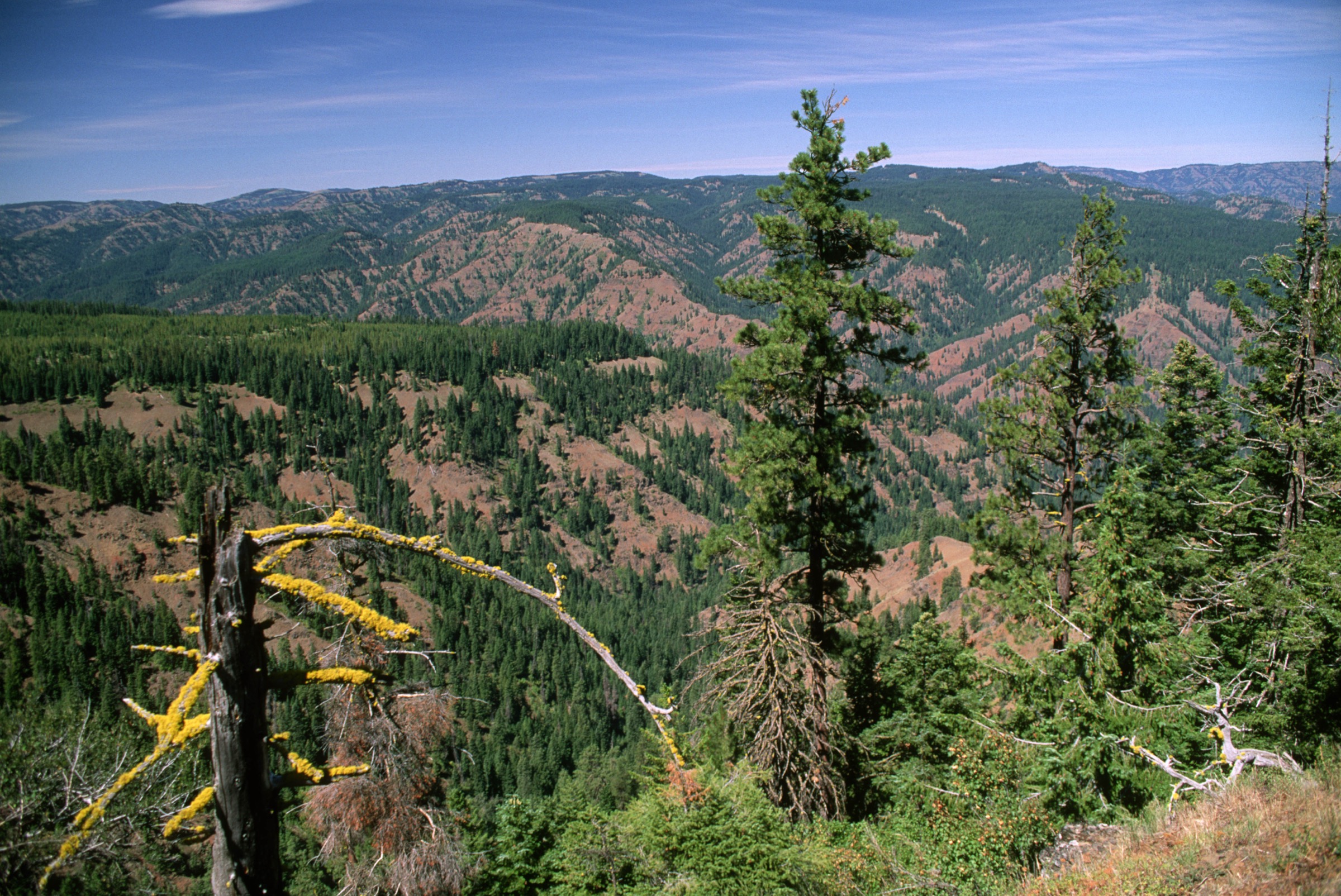
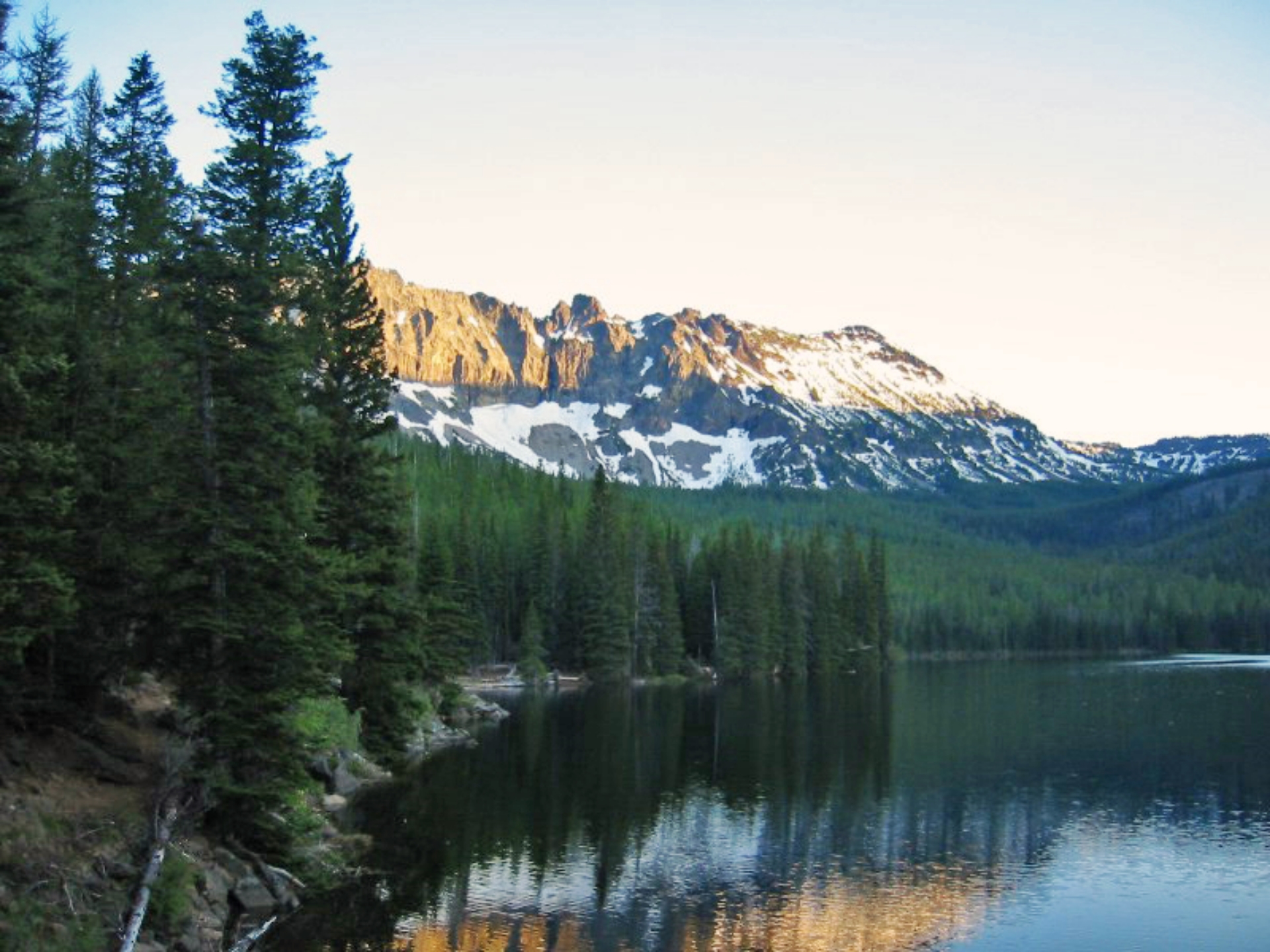
- Licence-compatible route-specific photos are still needed for Strawberry Falls, Little Strawberry Lake, Slide Lake, High Lake, and Indian Creek Butte — the current pass only verified two USFS public-domain shots (a wide forest scene and the Strawberry Lake / Strawberry Mountain view).
- Buckhorn Meadow Trailhead’s summit high-point figure needs a primary topographic source: the route profile and the route narrative disagree by ~20 m.
- Road status on NF 1640 (High Lake) and the final approach to Strawberry Campground requires local confirmation shortly before travel.