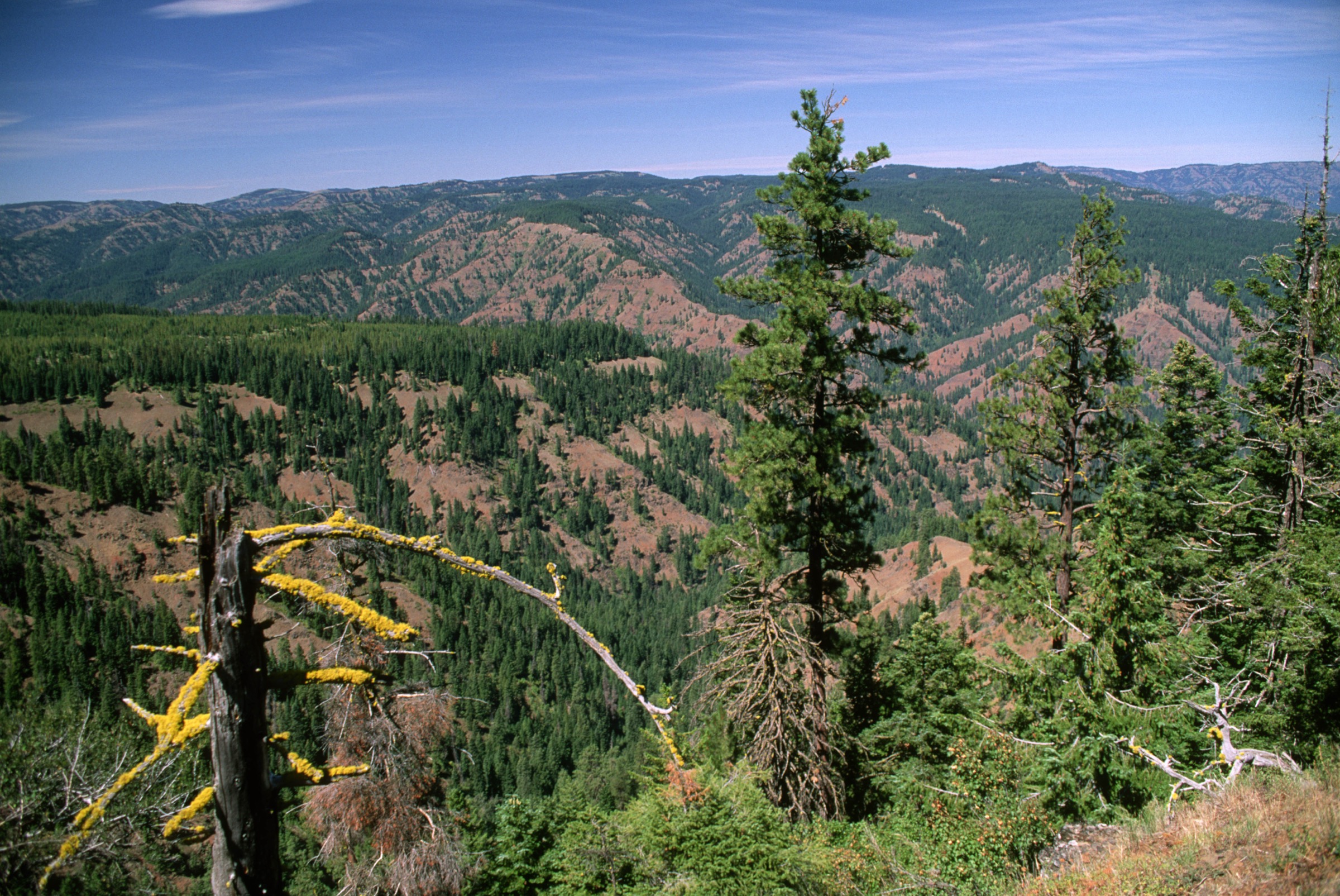
Regional overview
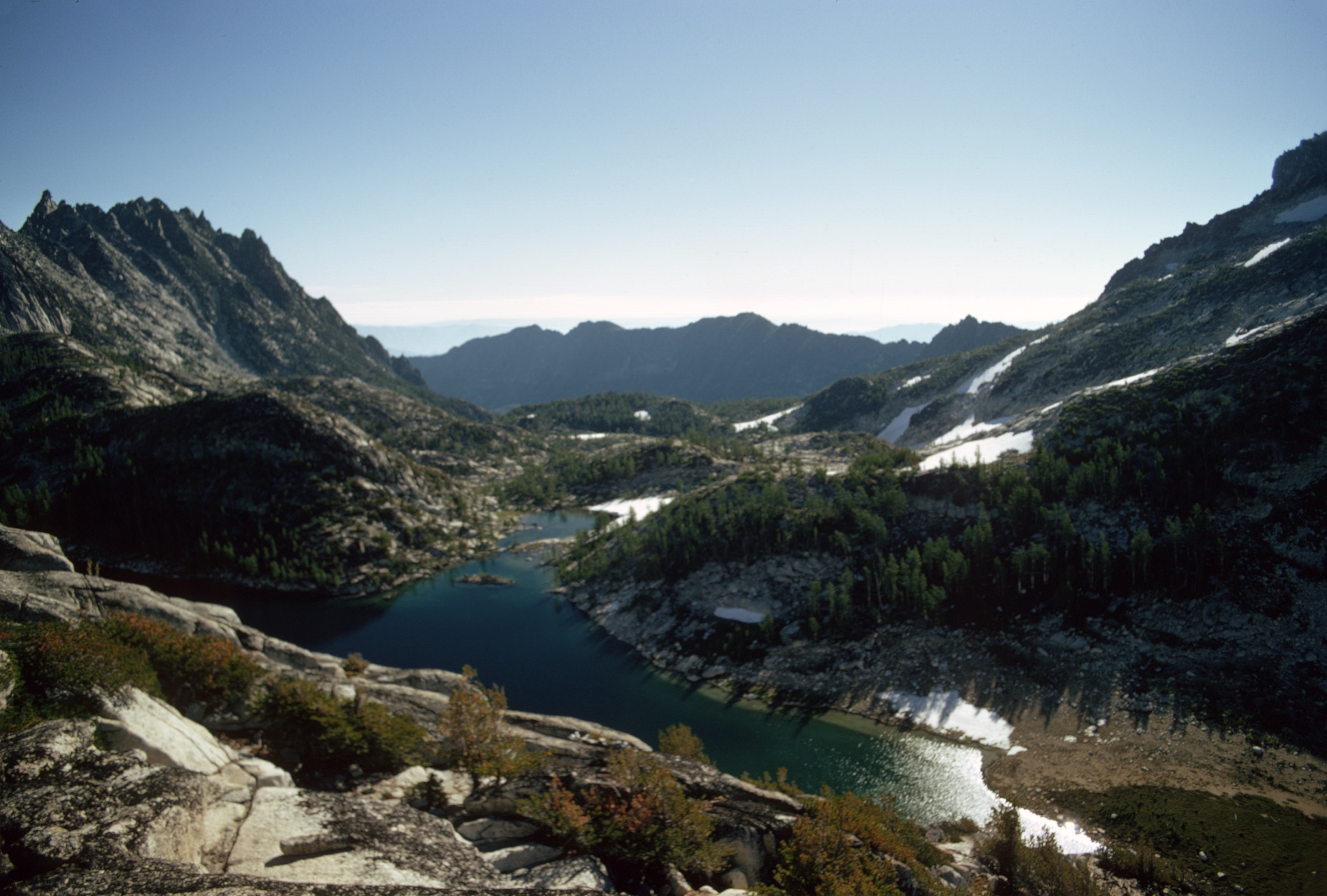
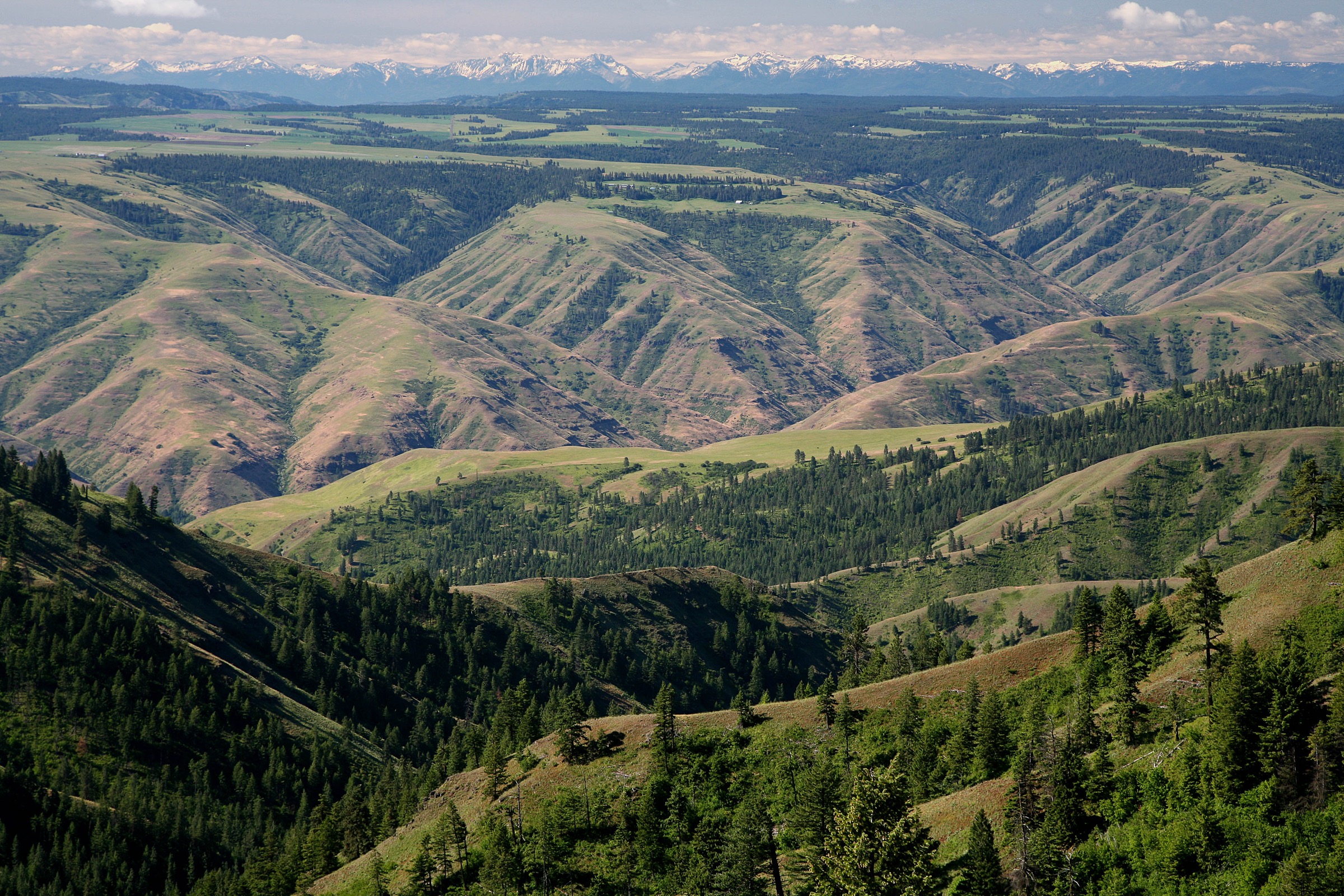
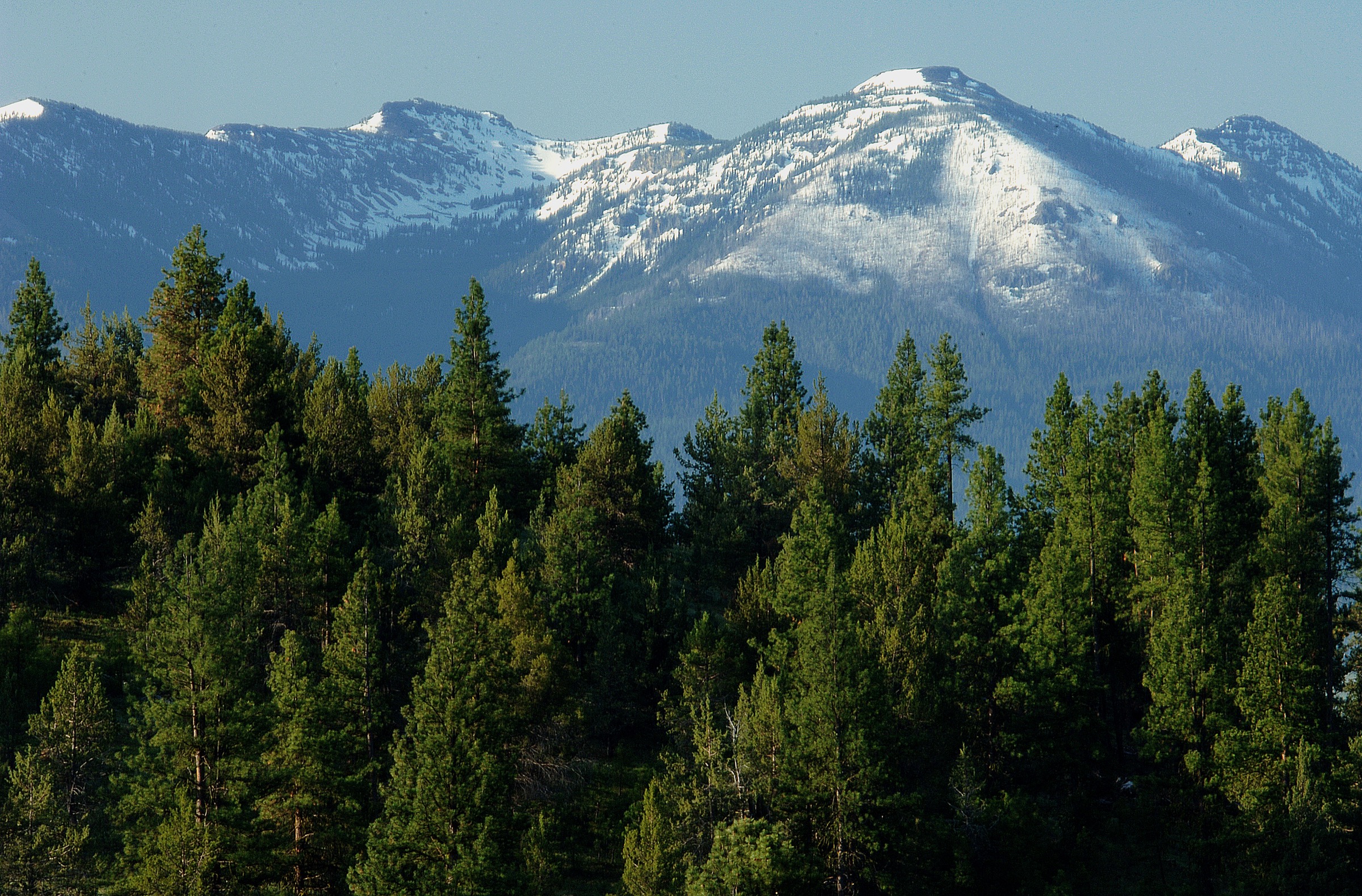
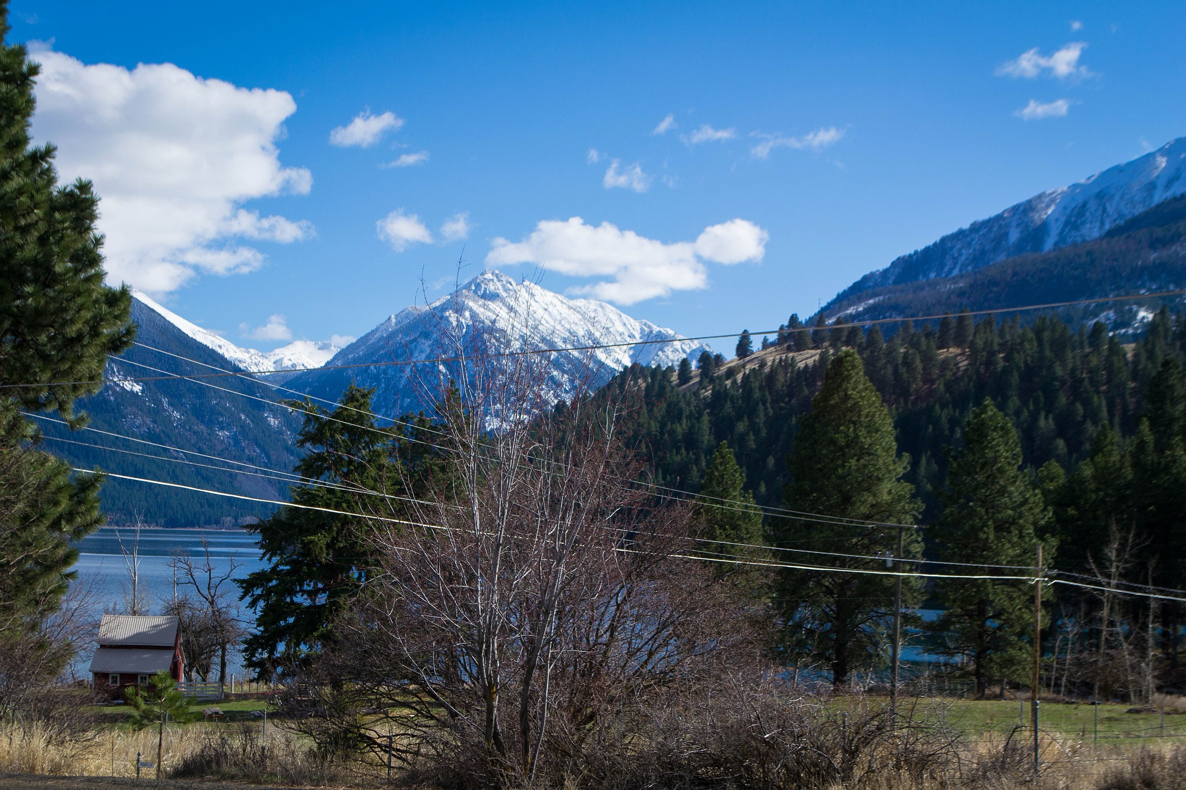
This entry treats the Blue Mountains subregion as the forested and canyon-cut Umatilla, Wenaha and North Fork Umatilla country of northeastern Oregon and southeastern Washington, excluding the Elkhorn and Strawberry mountain groups covered separately. The walking character is inland Northwest rather than Cascade: dry conifer ridges, basalt canyon rims, high meadows, remote wilderness rivers and long forest-road approaches.
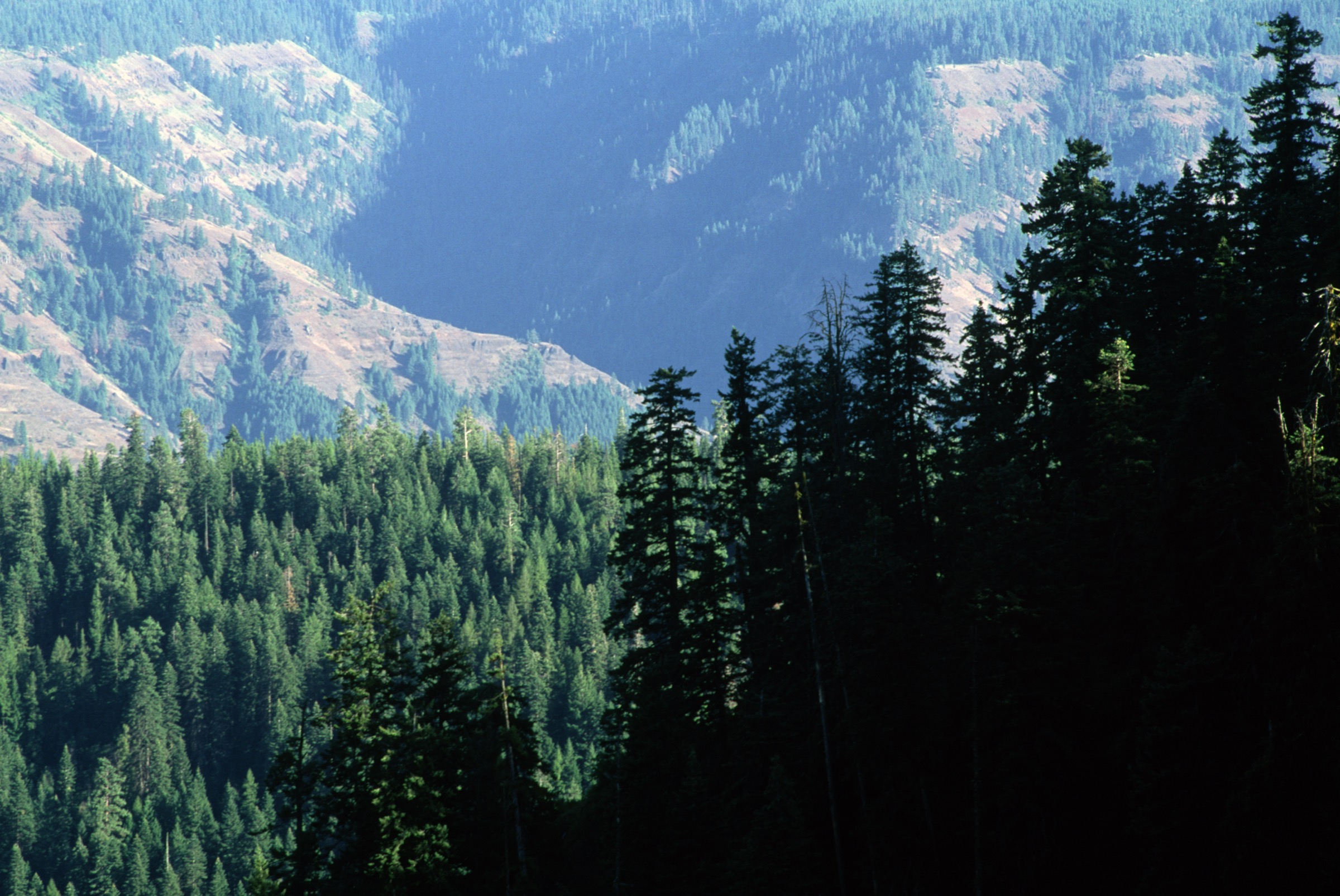
The Umatilla National Forest describes the broader area as more than 1.4 million acres in the Blue Mountains, with rugged mountains, deep river canyons and heavily timbered slopes. Its hiking page explicitly ranges from easy interpretive lake trails around Jubilee Lake to more challenging Wenaha-Tucannon Wilderness trips. Summer and early autumn are the main hiking season. Lower canyon routes can be very hot, dry and rattlesnake-prone; higher trailheads can hold snow into late spring and are often affected by downed trees, fire restrictions and rough forest roads. Public transport was not verified for any of the five hikes.
See also: Wallowa Mountains, Oregon · Strawberry Mountains, Oregon.
Selection rationale
The five hikes represent the non-alpine core of the Blue Mountains: a classic family lake loop at Jubilee Lake; the best-known northern-Blues summit and lookout on Oregon Butte; a hard Wenaha canyon descent from Elk Flats; a North Fork Umatilla Wilderness viewpoint route on Grouse Mountain; and a lower South Fork Walla Walla river-canyon walk from Harris Park.
Summary
| # | Hike | Country | Route type | Distance | Gain | Difficulty | Primary trailhead |
|---|---|---|---|---|---|---|---|
| 1 | Jubilee Lake Loop | USA | Loop | 4.3 km / 2.7 mi | 27 m / 89 ft | Easy | Jubilee Lake Campground |
| 2 | Oregon Butte Trail | USA | Out-and-back | 9.2 km / 5.7 mi | 436 m / 1,430 ft | Moderate | Teepee Trailhead |
| 3 | Elk Flats to Wenaha River Trail | USA | Out-and-back | 15.0 km / 9.3 mi | 647 m / 2,123 ft | Hard | Elk Flats trailhead, near Dixie |
| 4 | Grouse Mountain Trail | USA | Out-and-back | 7.9 km / 4.9 mi | 317 m / 1,040 ft | Moderate | Zig Zag Springs Trailhead |
| 5 | Harris Park — South Fork Walla Walla | USA | Out-and-back | 3.5 km / 2.2 mi | 119 m / 390 ft | Easy | Harris Park |
1. Jubilee Lake Loop
Snapshot
Itinerary
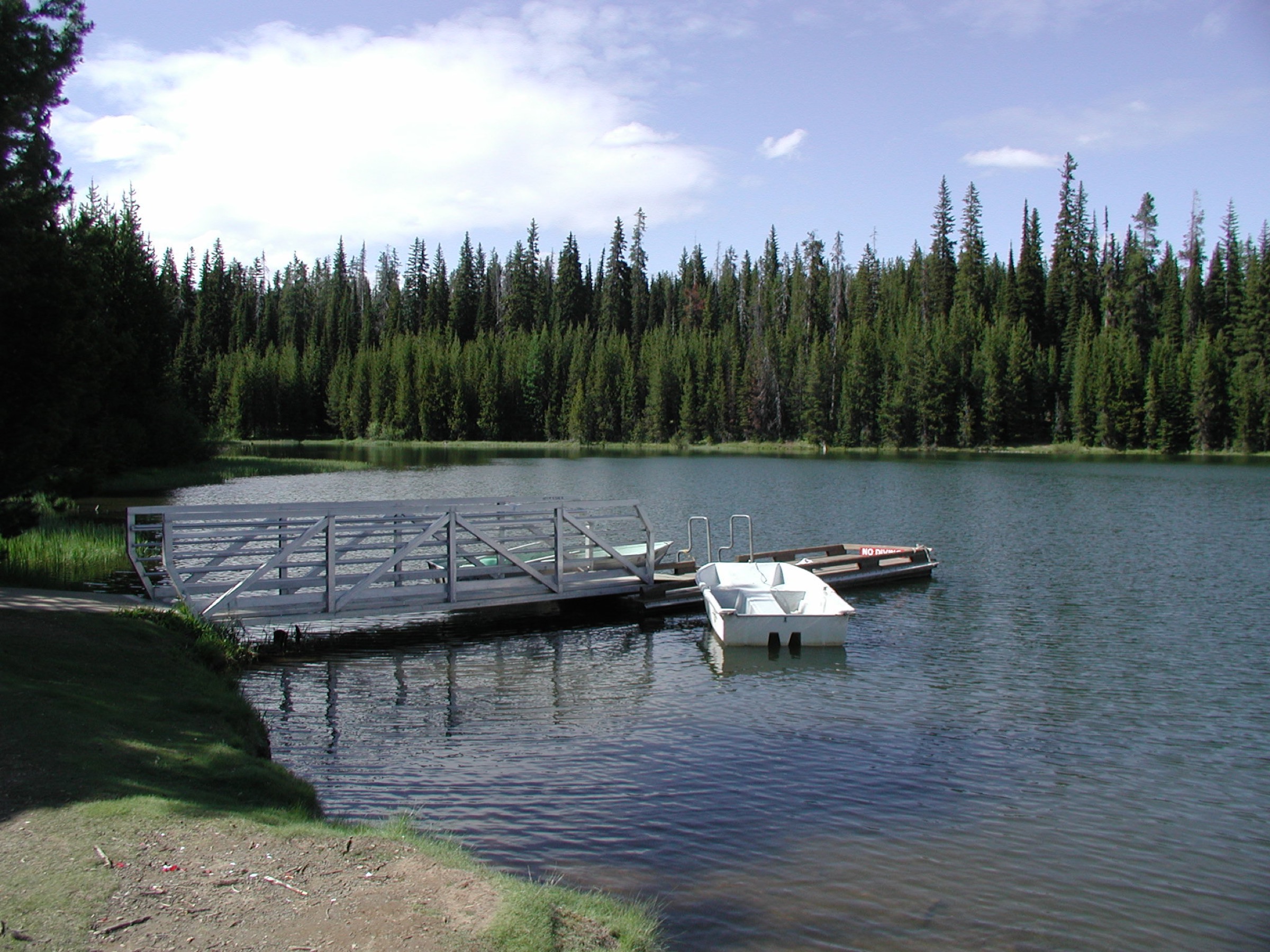
Walk the maintained loop around Jubilee Lake from the campground / day-use area. The route stays close to the lakeshore, passing forest, small bridges, fishing and swimming access and picnic-style viewpoints before returning to the start.
Why it is essential
Jubilee Lake is the most accessible classic lake walk in this Blue Mountains subregion. The Forest Service describes the campground as the largest and most popular on the Umatilla National Forest; the loop gives an easy, representative spruce-fir Blue Mountains experience.
Equipment
- Comfortable walking shoes
- Water
- Sun and insect protection
- Basic map
- Warm / rain layer — weather changes quickly at elevation
Hazards and notes
- Campground traffic in high season.
- Downed trees possible after storms.
- Muddy sections in shoulder seasons.
- Reduced services outside the developed campground season.
- Day-use fee during full-service summer season.
Routes and maps
| Source | URL |
|---|---|
| USFS — Jubilee Lake Campground | fs.usda.gov |
| AllTrails — Jubilee Lake Loop | alltrails.com |
| OpenStreetMap — Jubilee Lake Loop | openstreetmap.org |
Further reading
2. Oregon Butte Trail
Snapshot
Itinerary
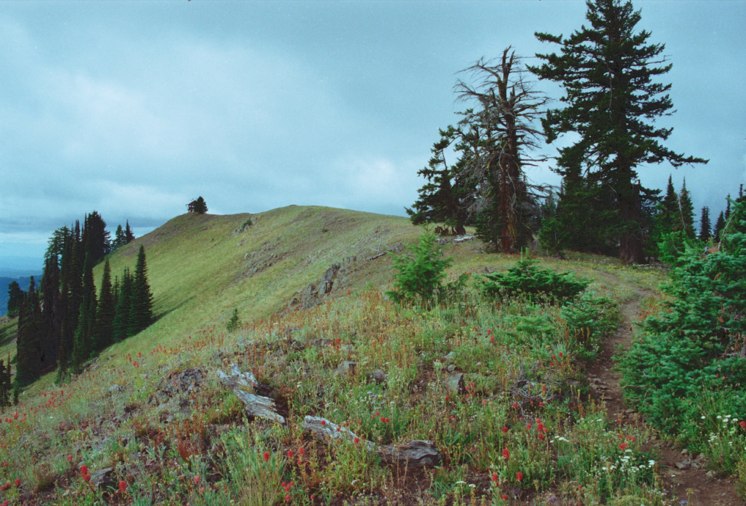
From Teepee Trailhead the trail heads toward Oregon Butte through forest and open ridge terrain. WTA notes a lower and upper route split after about a mile; the lower route is more direct and shadier, while the upper passes West Butte before rejoining near a spring. Continue to the junction with Trail 3113 / 6114, then bear right to the Oregon Butte Lookout.
Why it is essential
Oregon Butte is the defining summit and lookout walk of the northern Blues. WTA calls it the most prominent peak in the Blue Mountains and emphasises the 360-degree views over the Wenaha-Tucannon Wilderness.
Equipment
- Mountain shoes or boots
- Map / offline navigation
- Warm wind layer and sun protection
- Trekking poles
- Extra water
- Food and headlamp if starting late
Hazards and notes
- Remote approach; road navigation can be unreliable.
- Exposed ridges can be windy, hot, dusty or smoky.
- Downed trees possible.
- Lookout may be staffed in summer — respect the cabin and working lookout area.
Routes and maps
| Source | URL |
|---|---|
| WTA — Oregon Butte | wta.org |
| AllTrails — Oregon Butte Trail | alltrails.com |
| OpenStreetMap — Oregon Butte / Teepee Trailhead | openstreetmap.org |
Further reading
3. Elk Flats to Wenaha River Trail
Snapshot
Itinerary
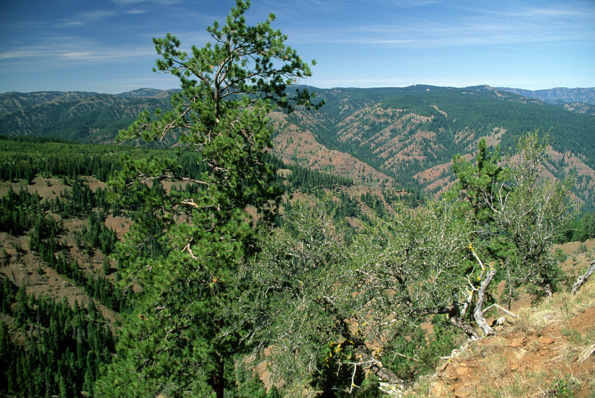
Use the Elk Flats approach as a day-sized descent from the higher Wenaha-Tucannon country toward the Wenaha River Trail, then return by the same route. The hike is deliberately a day section — the full Wenaha River Trail is a long multi-day route.
Why it is essential
The Wenaha canyon system is one of the Blue Mountains’ defining landscapes — remote basalt breaks, wilderness river habitat, long dry ridges and a strong sense of backcountry scale. This route gives day-hikers a practical sample without committing to the whole Wenaha River Trail.
Equipment
- Full mountain day kit
- Extra water and treatment
- Sun protection and hat
- Navigation backup and first-aid kit
- Trekking poles
- Headlamp — the return climb can take longer than expected
- Snake awareness
Hazards and notes
- Remote canyon terrain and heat.
- Limited reliable water away from the river.
- Ticks, rattlesnakes, downed trees.
- Wildfire smoke and closures possible in summer.
- Check Umatilla National Forest alerts before committing.
Routes and maps
| Source | URL |
|---|---|
| USFS — Umatilla National Forest recreation | fs.usda.gov |
| AllTrails — Elk Flats Trail to Wenaha River Trail | alltrails.com |
| OpenStreetMap — Elk Flats / Wenaha River Trail | openstreetmap.org |
Further reading
4. Grouse Mountain Trail
Snapshot
Itinerary
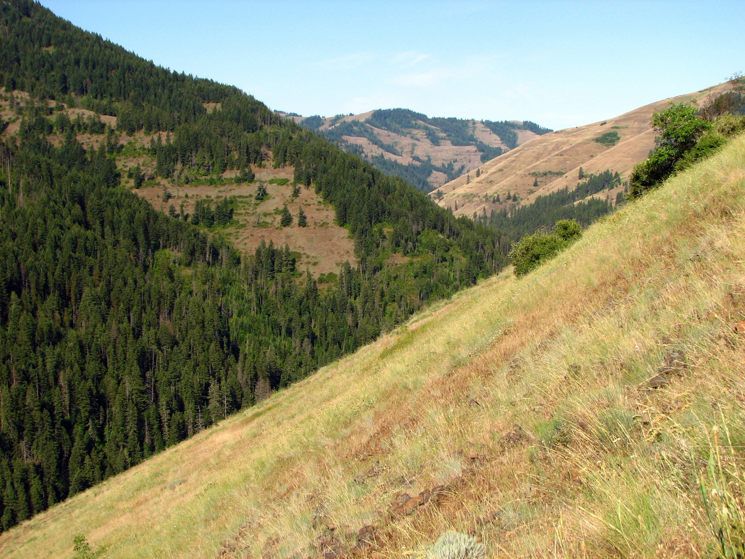
From Zig Zag Springs Trailhead the Lick Creek Trail #3070 north access leads to Grouse Mountain Trail #3081 in the North Fork Umatilla Wilderness. The route climbs through forest to open viewpoints and returns the same way.
Why it is essential
A concise North Fork Umatilla Wilderness outing — forest, flowers, wildlife and steep-sided Blue Mountains drainage country, with a quieter feel than the better-known lake and lookout routes.
Equipment
- Boots or supportive shoes
- Trekking poles for loose and steep sections
- Water and treatment
- Map / offline GPS
- Sun protection
- Warm layer
Hazards and notes
- Forest trails are typically not maintained and are inaccessible from late autumn through late spring because of snow.
- Steep climbs and loose sections; downed trees possible.
- No reliable cell coverage.
Routes and maps
| Source | URL |
|---|---|
| USFS — Zig Zag Springs Trailhead | fs.usda.gov |
| AllTrails — Grouse Mountain Trail | alltrails.com |
| OpenStreetMap — Grouse Mountain / Zig Zag Springs | openstreetmap.org |
Further reading
5. Harris Park — South Fork Walla Walla
Snapshot
Itinerary
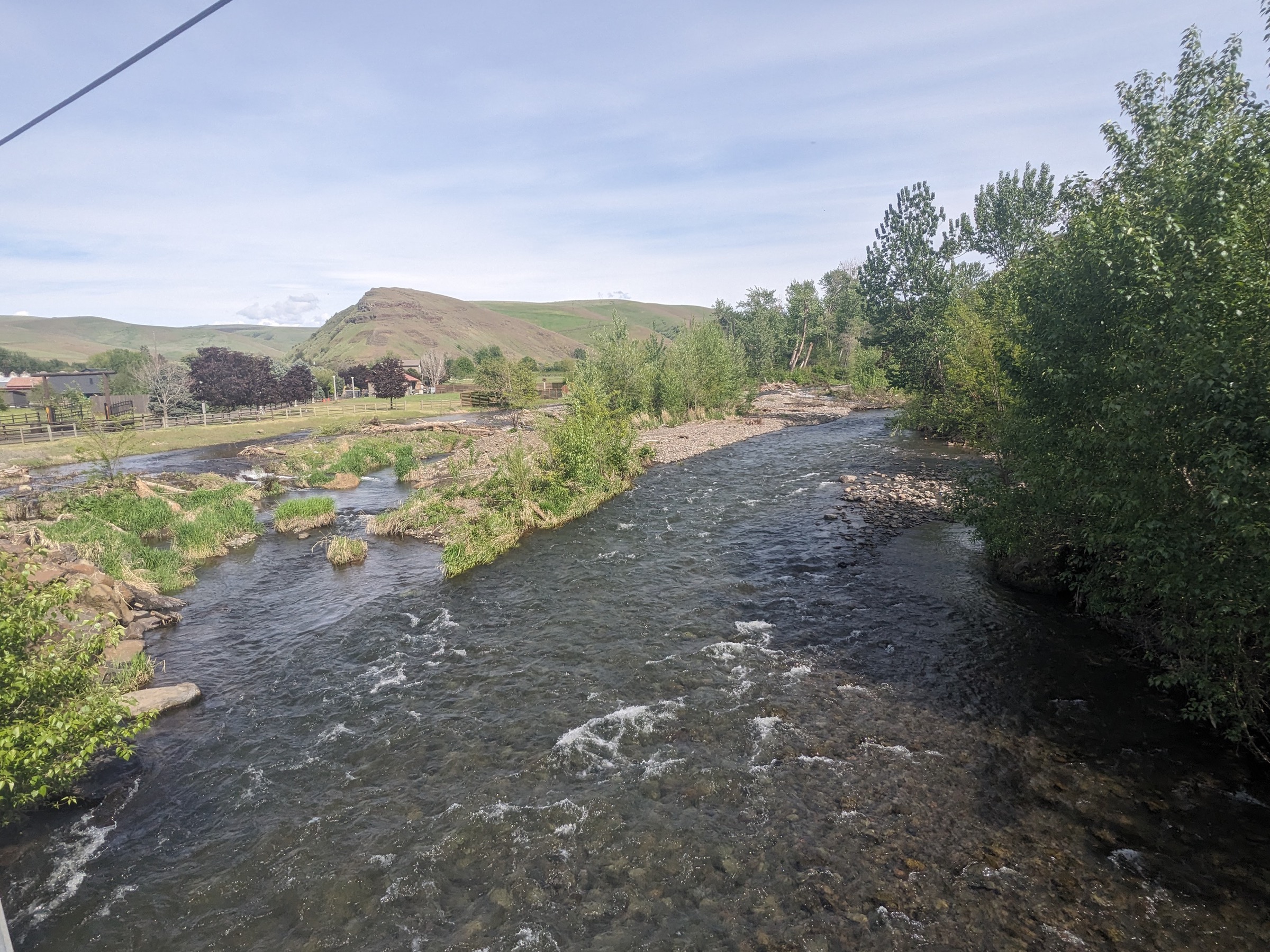
From Harris Park follow the north-side trail along the South Fork Walla Walla River corridor and return the same way. The route also serves as an access point into a larger Area of Critical Environmental Concern trail system.
Why it is essential
This lower-elevation canyon walk balances the high forest and wilderness entries with a short, accessible river route. It is especially useful outside the short high-country season and gives a close view of the South Fork Walla Walla drainage.
Equipment
- Walking shoes with grip
- Water and sun protection
- Light layer
- Extra grip / traction in winter or wet weather
Hazards and notes
- Short but can include rocky scrambles and uneven tread.
- Mud and slick rock in winter and after rain.
- Respect park rules and stay on legal public access.
- Check local conditions after storms.
Routes and maps
| Source | URL |
|---|---|
| USFS — Umatilla NF hiking overview | fs.usda.gov |
| AllTrails — Harris Park / South Fork Walla Walla | alltrails.com |
| OpenStreetMap — Harris Park / South Fork Walla Walla | openstreetmap.org |
Further reading
Region-wide cautions
- Summer and early autumn are the practical hiking window; higher trailheads can hold snow well into late spring.
- Lower canyon routes (Wenaha, South Fork Walla Walla) can be very hot, dry and rattlesnake-prone in summer.
- Ticks, downed trees and wildfire smoke are recurring issues; check Umatilla National Forest alerts before travel.
- Forest roads are long and often rough; verify road status with the Umatilla or Walla Walla Ranger District.
- No reliable cell coverage in most of the wilderness — carry offline maps and leave a trip plan.
- The Umatilla Rim Trail was noted as temporarily closed at the time of research; verify current status.