Regional overview
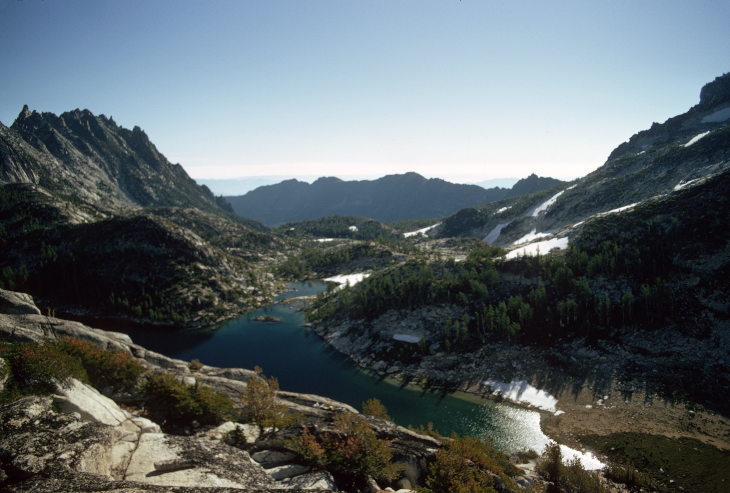
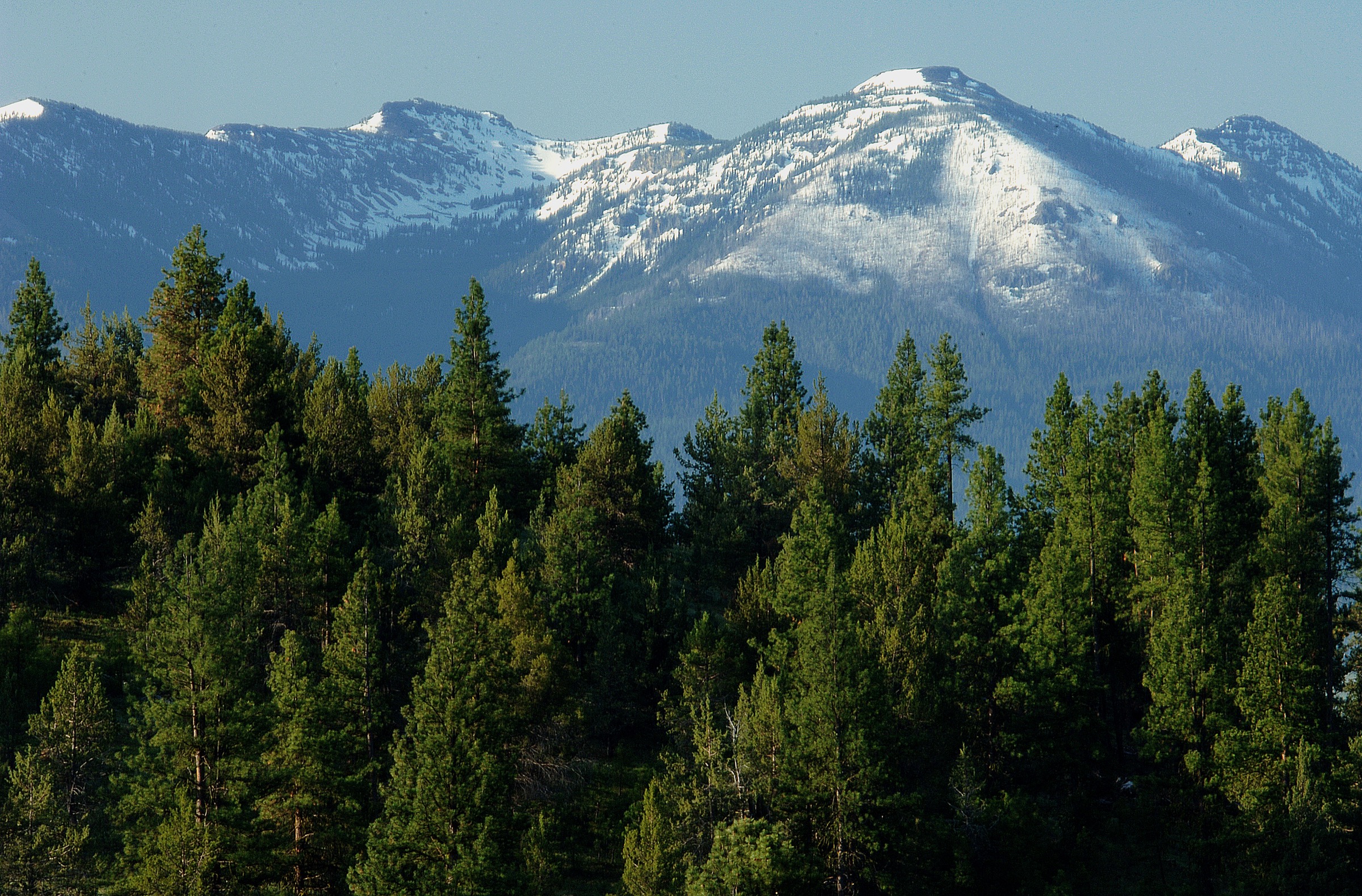
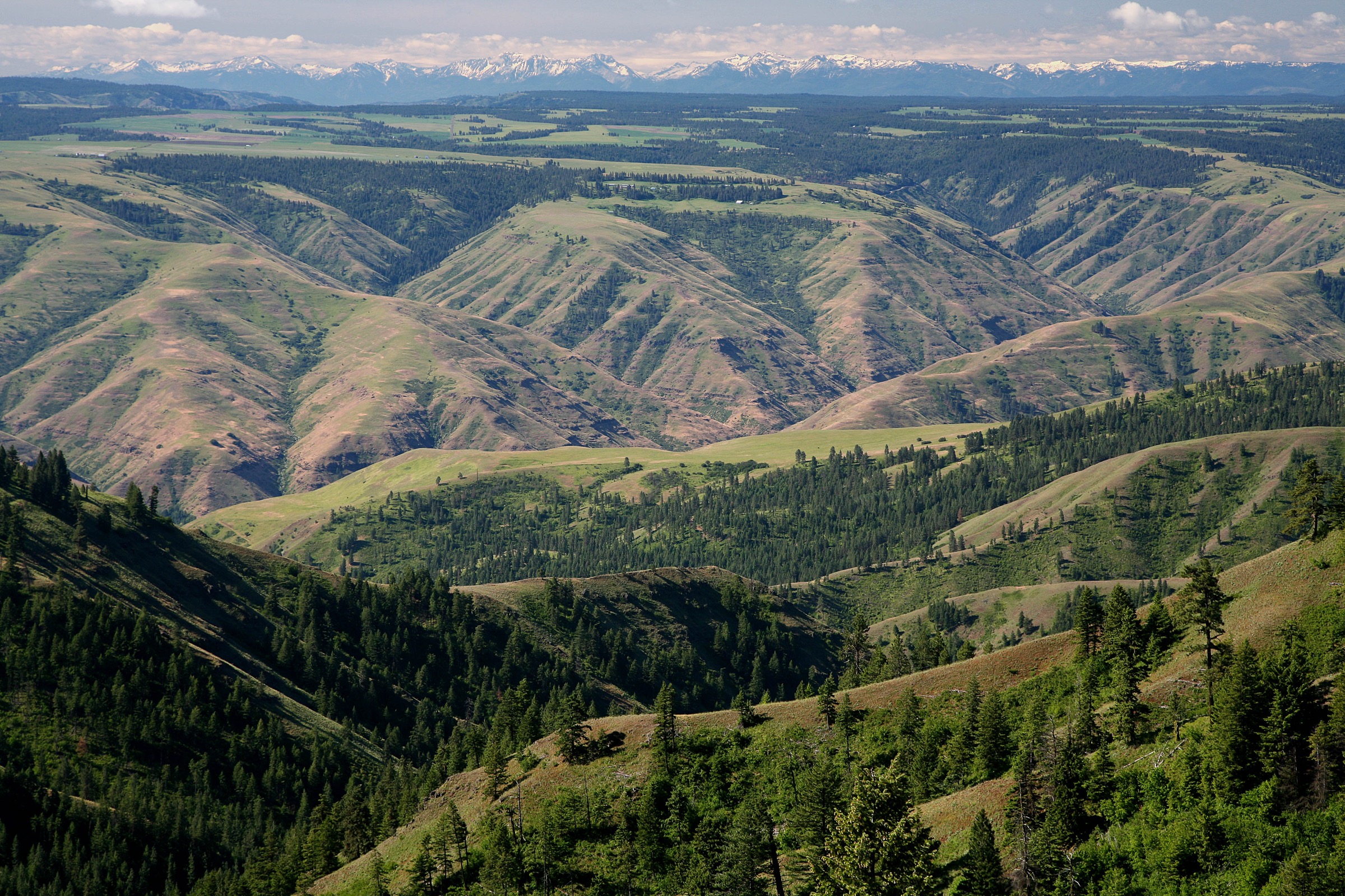
The Elkhorn Mountains are the alpine granite-and-lake crest west of Baker City and North Powder, Oregon. They sit within the larger Blue Mountains system but feel distinct from the drier Umatilla and Strawberry groups: higher trailheads, glacial cirques, subalpine lakes, granite summits and long ridgeline travel on and around the Elkhorn Crest.
Anthony Lakes is the main day-hiking hub. The Wallowa-Whitman National Forest page for Anthony Lake Campground places it in the Southern Elkhorn Mountains / Powder River Basin area and describes views of Gunsight Peak and the Elkhorn Mountains, with day hiking as a listed activity. The broader Wallowa-Whitman hiking page notes more than 2,700 miles of trails and warns that wilderness trails are primitive and suited to experienced hikers.
The usual hiking season is late June or July through September or October, depending on snow and road access. Many trailheads are reached by rough forest roads; storms, lingering snow, downed trees, exposed ridges and limited water on crest sections are routine planning factors.
For neighbouring Oregon ranges in the same broader taxonomy, see the sister catalogues on the Wallowa Mountains and the Eagle Cap Wilderness.
See also: Wallowa Mountains, Oregon · Strawberry Mountains, Oregon.
Selection rationale
These five hikes cover the core Elkhorn experience: the classic Anthony Lakes basin loop, the short steep Lakes Lookout summit, a longer Elkhorn Crest day to Dutch Flat Lake, the southern Twin Lakes basin, and the strenuous Rock Creek Butte high-point objective. The selection intentionally accepts some Anthony Lakes clustering because it is the main high-access gateway to the range. Route stats were cross-checked against AllTrails route pages and public reference articles; no downloadable GPX was retrieved, and licence-compatible route photos were not verified cleanly in this pass. Route file, gain / loss and photo status remain flagged in the snapshots below and in the closing Missing data / follow-up work section.
Summary
| # | Hike | Trailhead | Route type | Distance | Gain | Max elevation | Difficulty |
|---|---|---|---|---|---|---|---|
| 1 | Elkhorn Crest, Crawfish Basin and Hoffer Lakes Loop | Anthony Lake Recreation Area | Loop | 13.5 km | 434 m | 2,501 m | Moderate |
| 2 | Anthony Lakes to The Lakes Lookout | Anthony Lake Recreation Area | Out-and-back | 8.2 km | 421 m | 2,598 m | Hard |
| 3 | Elkhorn Crest Trail to Dutch Flat Lake | Elkhorn Crest Trailhead | Out-and-back | 14.6 km | 590 m | 2,501 m | Hard |
| 4 | Twin Lakes Trail | Twin Lakes trailhead / Marble Pass side | Out-and-back | 12.1 km | 705 m | 2,356 m | Moderate–hard |
| 5 | Rock Creek Butte | Sumpter-side Rock Creek Butte trailhead | Out-and-back | 20.1 km | 917 m | 2,554 m (route high point) | Hard |
1. Elkhorn Crest, Crawfish Basin and Hoffer Lakes Loop via Anthony Lake
Snapshot
Itinerary
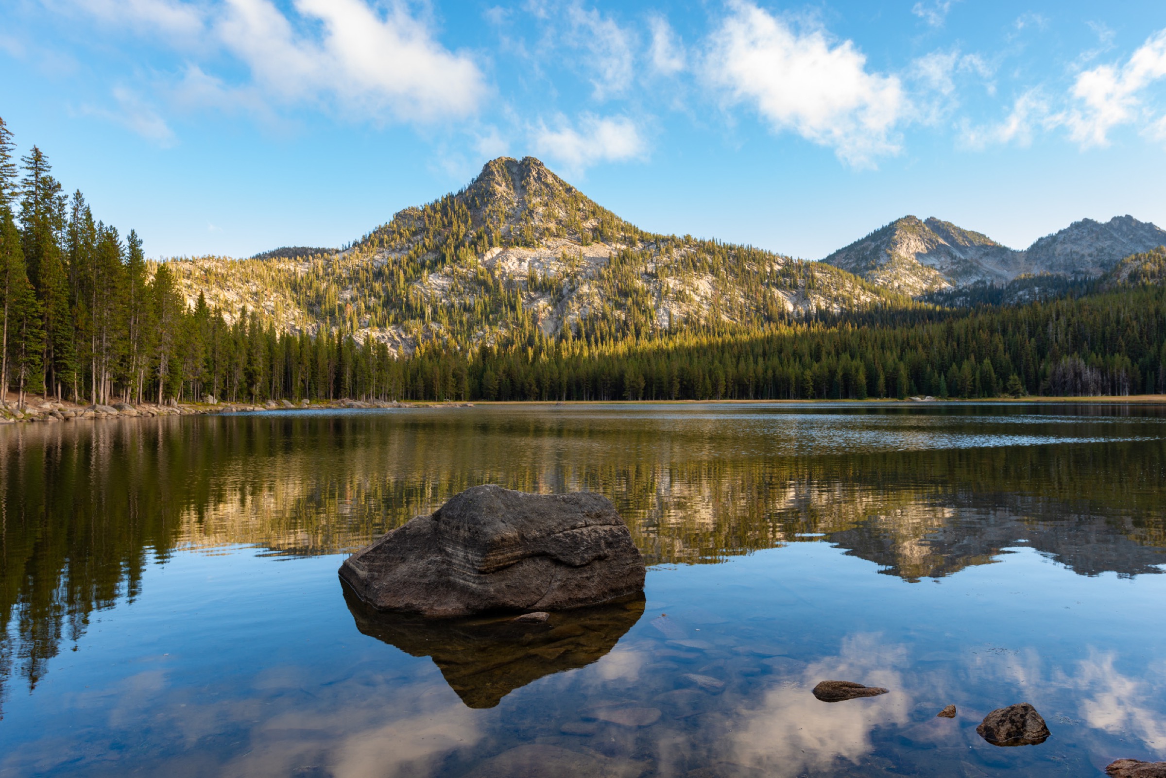
From Anthony Lake, begin on gentle terrain near the lake and Black Lake, then climb toward the North Fork John Day Wilderness and Elkhorn Crest country. The loop links open views, Crawfish Basin, Hoffer Lakes, forest and subalpine lake basins before returning to Anthony Lake.
Why it is essential
This is the best compact sampler of the Anthony Lakes high country: lakes, crest travel, cirques, forest and broad Elkhorn views in a single day loop.
Equipment
- Mountain hiking shoes or boots
- 2 L water
- Map and offline GPS
- Bug protection
- Sun protection
- Trekking poles
- Warm layer and rain shell
Hazards and notes
- Downed trees and lingering snow into early summer.
- Mosquitoes are common in the lake basins.
- Exposed weather on the crest sections.
- Route-finding around junctions can require attention.
- North Fork John Day Wilderness restrictions apply once inside the wilderness boundary.
GPX / route file
| Source | URL | Format | Notes |
|---|---|---|---|
| AllTrails — Elkhorn Crest, Crawfish Basin and Hoffer Lakes Loop | alltrails.com | Source map / route page | AllTrails terms apply; direct GPX not retrieved |
| OpenStreetMap search | openstreetmap.org | Source map | Geometry cross-check; ODbL 1.0 if extracted |
Sources
- USFS — Wallowa-Whitman, Anthony Lake Campground
- AllTrails — Elkhorn Crest, Crawfish Basin and Hoffer Lakes Loop
2. Anthony Lakes to The Lakes Lookout
Snapshot
Itinerary
From Anthony Lakes, climb steeply toward The Lakes Lookout at the west end of the high basin. The route gives views toward Lees Peak, Angell Peak, Gunsight Mountain, Van Patten Butte and the Anthony Lakes cirque. Return the same way.
Why it is essential
The Lakes Lookout is the concise high-viewpoint hike of Anthony Lakes: short enough for a half day, but steep and alpine enough to feel like a real Elkhorn summit route.
Equipment
- Boots or grippy trail shoes
- Trekking poles for the descent
- Warm and wind layer
- 1.5–2 L water
- Sun protection
- Navigation
- Microspikes if snow remains
Hazards and notes
- AllTrails notes steep sections and a bit of scrambling near the summit.
- Avoid thunderstorms, icy snow and poor visibility.
- The upper route is exposed to wind and weather.
GPX / route file
| Source | URL | Format | Notes |
|---|---|---|---|
| AllTrails — Anthony Lakes to The Lakes Lookout | alltrails.com | Source map / route page | AllTrails terms apply; direct GPX not retrieved |
| OpenStreetMap search | openstreetmap.org | Source map | Geometry cross-check; ODbL 1.0 if extracted |
Sources
3. Elkhorn Crest Trail to Dutch Flat Lake
Snapshot
Itinerary
From the Elkhorn Crest Trailhead, climb steeply to Angel Pass, then descend on the Dutch Flat Creek Trail toward Dutch Flat Lake. The lake sits in a remote basin with wetlands and wildlife habitat. Return by the same route over the pass.
Why it is essential
This is the selected high-route day on the Elkhorn Crest: longer, quieter and more committing than the Anthony Lakes loop, with a true pass-and-lake objective.
Equipment
- Full mountain day kit
- Offline map and GPS
- Water treatment plus 2.5–3 L water
- Trekking poles
- Sun protection
- Warm and wind layers, rain shell
- Headtorch for a slow party
Hazards and notes
- Long day with high-altitude weather.
- Downed trees and lingering snow on the pass into early summer.
- Exposed pass travel — check the forecast.
- Do not underestimate the return climb from the lake.
GPX / route file
| Source | URL | Format | Notes |
|---|---|---|---|
| AllTrails — Elkhorn Crest Trail to Dutch Flat Lake | alltrails.com | Source map / route page | AllTrails terms apply; direct GPX not retrieved |
| OpenStreetMap search | openstreetmap.org | Source map | Geometry cross-check; ODbL 1.0 if extracted |
Sources
4. Twin Lakes Trail
Snapshot
Itinerary
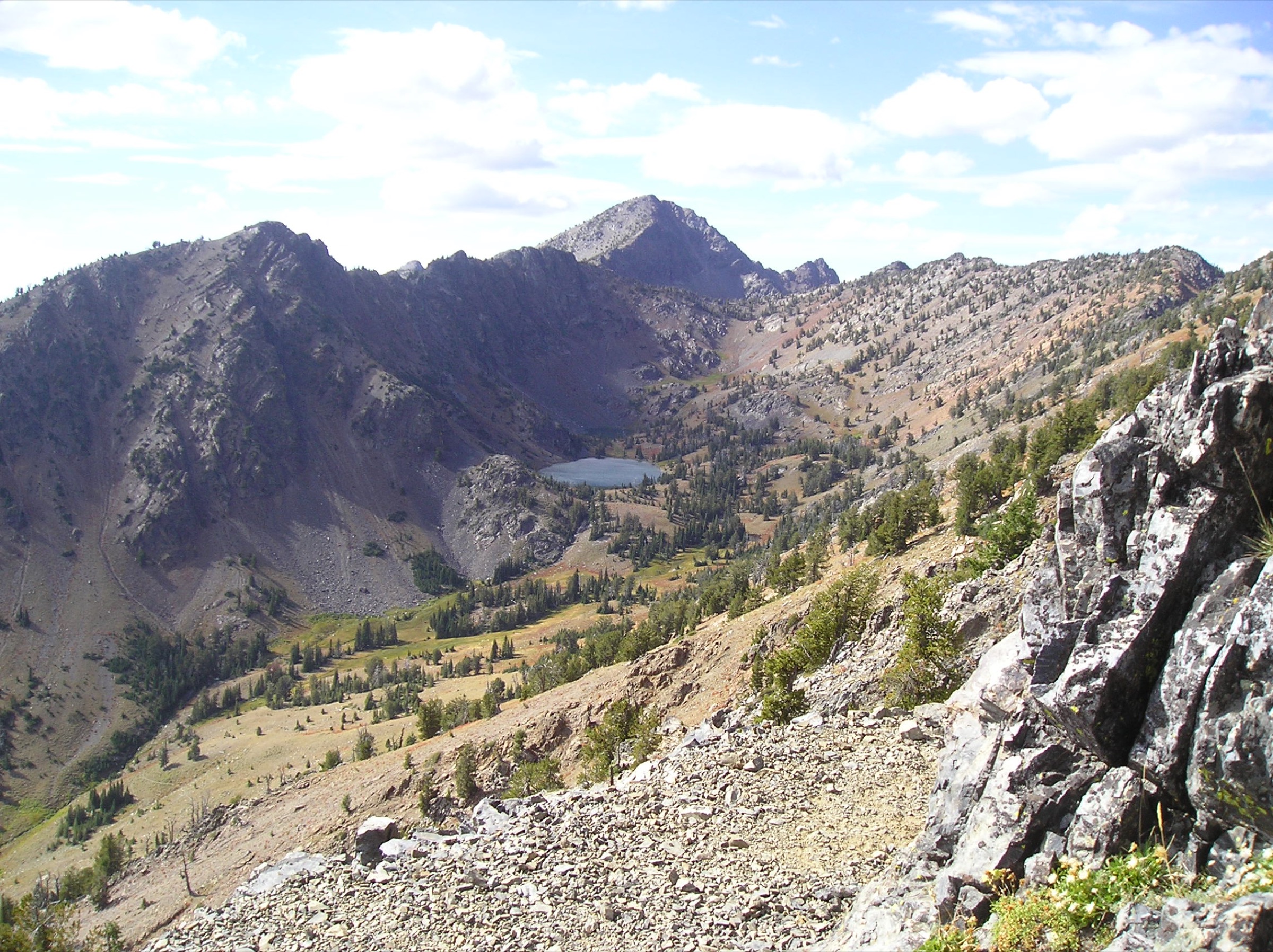
Climb from the southern Elkhorn access toward Twin Lakes, reaching a classic glacial basin below the Rock Creek Butte high country. Return by the same route.
Why it is essential
Twin Lakes is one of the signature southern Elkhorn basins and a natural companion to the Anthony Lakes hikes. It also gives close context for Rock Creek Butte and the high Elkhorn skyline.
Equipment
- Boots with ankle support
- Trekking poles
- 2–2.5 L water
- Map and offline GPS
- Sun protection
- Insect protection
- Warm and rain layers
Hazards and notes
- The access road may require high clearance.
- AllTrails review summaries mention rocky terrain and steep gain.
- Mountain-goat sightings are common — give wildlife space.
- Lingering snow into early summer.
GPX / route file
| Source | URL | Format | Notes |
|---|---|---|---|
| AllTrails — Twin Lakes Trail | alltrails.com | Source map / route page | AllTrails terms apply; direct GPX not retrieved |
| OpenStreetMap search | openstreetmap.org | Source map | Geometry cross-check; ODbL 1.0 if extracted |
Sources
5. Rock Creek Butte
Snapshot
Itinerary
Follow the long out-and-back route toward Rock Creek Butte, the highest point of the Elkhorn Mountains and, by common geographic treatment, the highest point of the greater Blue Mountains when the Wallowas are treated separately. The route travels through forest, lake and high-view terrain before returning the same way.
Why it is essential
Rock Creek Butte is the high-point objective of the Elkhorns. Even with the route-record high-point discrepancy unresolved, it is the natural strenuous summit entry for the range.
Equipment
- Full mountain day kit
- Offline navigation
- Trekking poles
- Water treatment plus 3–4 L water
- Food for a long day
- Headtorch
- Warm and wind layers, rain shell
- Microspikes if snow remains
Hazards and notes
- This is the most committing Elkhorn hike in the list — long day, rough roads and remote terrain.
- Possible snow, route-finding issues and exposure to storms.
- The published summit elevation and the AllTrails route-record maximum elevation do not match; verify the exact summit line before using this as a definitive high-point route.
GPX / route file
| Source | URL | Format | Notes |
|---|---|---|---|
| AllTrails — Rock Creek Butte | alltrails.com | Source map / route page | AllTrails terms apply; direct GPX not retrieved |
| OpenStreetMap search | openstreetmap.org | Source map | Geometry cross-check; ODbL 1.0 if extracted |
Sources
Region-level sources
| Source | URL |
|---|---|
| USFS — Wallowa-Whitman National Forest hiking overview | fs.usda.gov |
| USFS — Anthony Lake Campground | fs.usda.gov |
| USFS — Anthony Lakes Picnic Area | fs.usda.gov |
| Wikipedia — Elkhorn Mountains (Oregon) | en.wikipedia.org |
| Wikipedia — Rock Creek Butte | en.wikipedia.org |
| Wikipedia — Twin Lakes (Baker County, Oregon) | en.wikipedia.org |
| Wikimedia Commons — Category: Elkhorn Mountains (Oregon) | commons.wikimedia.org |
| OpenStreetMap (ODbL 1.0) | openstreetmap.org |
Further reading
- Wallowa Mountains — essential day-hikes — the sharp alpine island of northeastern Oregon, further east across the Baker valley
- Eagle Cap Wilderness — essential day-hikes — the deep-wilderness core of the Wallowas: Ice Lake, Aneroid Lake, Mirror Lake and Eagle Cap
Missing data / follow-up work
- No downloadable GPX / KML was retrieved for any of the five routes; AllTrails and OpenStreetMap links are source-map references only, and route geometry reuse remains unresolved unless data is separately extracted from OSM under ODbL.
- Licence-compatible route photos were not verified in this pass; Forest Service Anthony Lake pages include images, but reuse terms for catalogue purposes were not confirmed.
- Twin Lakes trailhead / access road status needs local confirmation, especially the high-clearance requirement.
- Rock Creek Butte route-record maximum elevation (2,554 m) and the published summit elevation (2,775 m) do not match; the exact summit line should be verified before publishing this as a high-point objective.
- Elkhorn Crest Trailhead exact official trail page and access-road status need confirmation before travel.