Regional overview
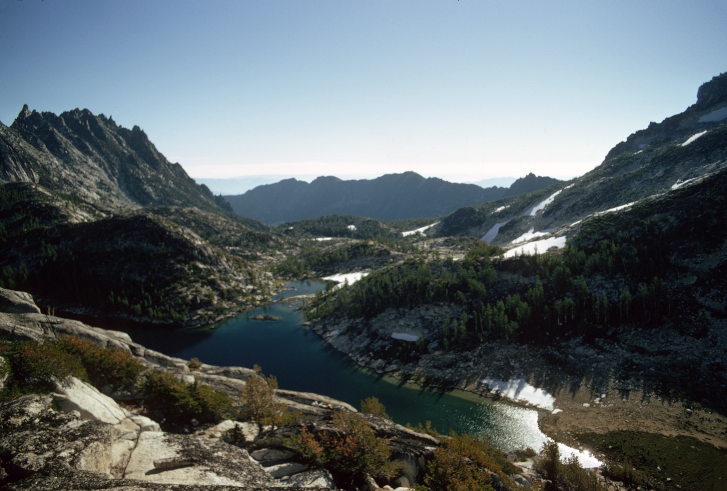
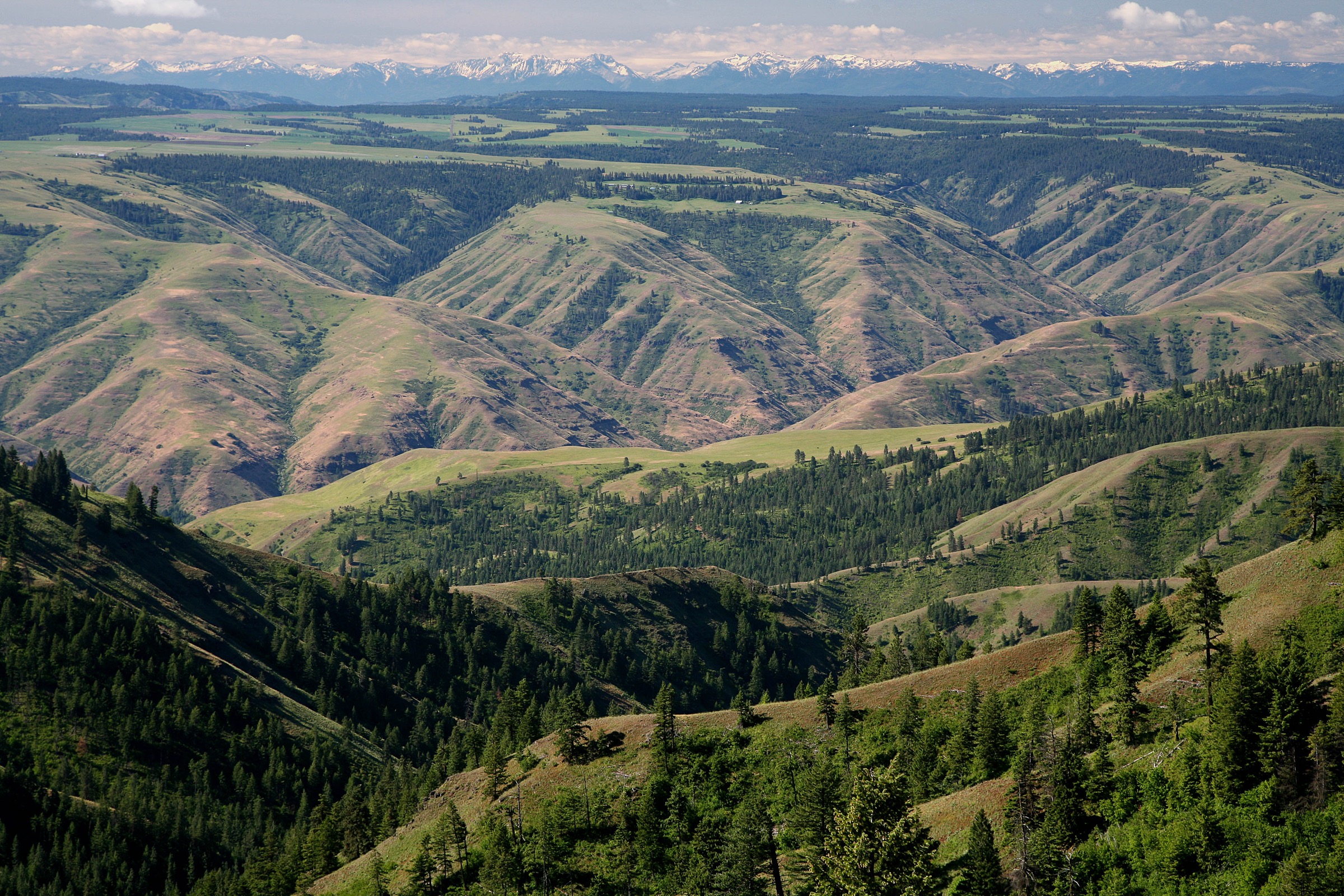
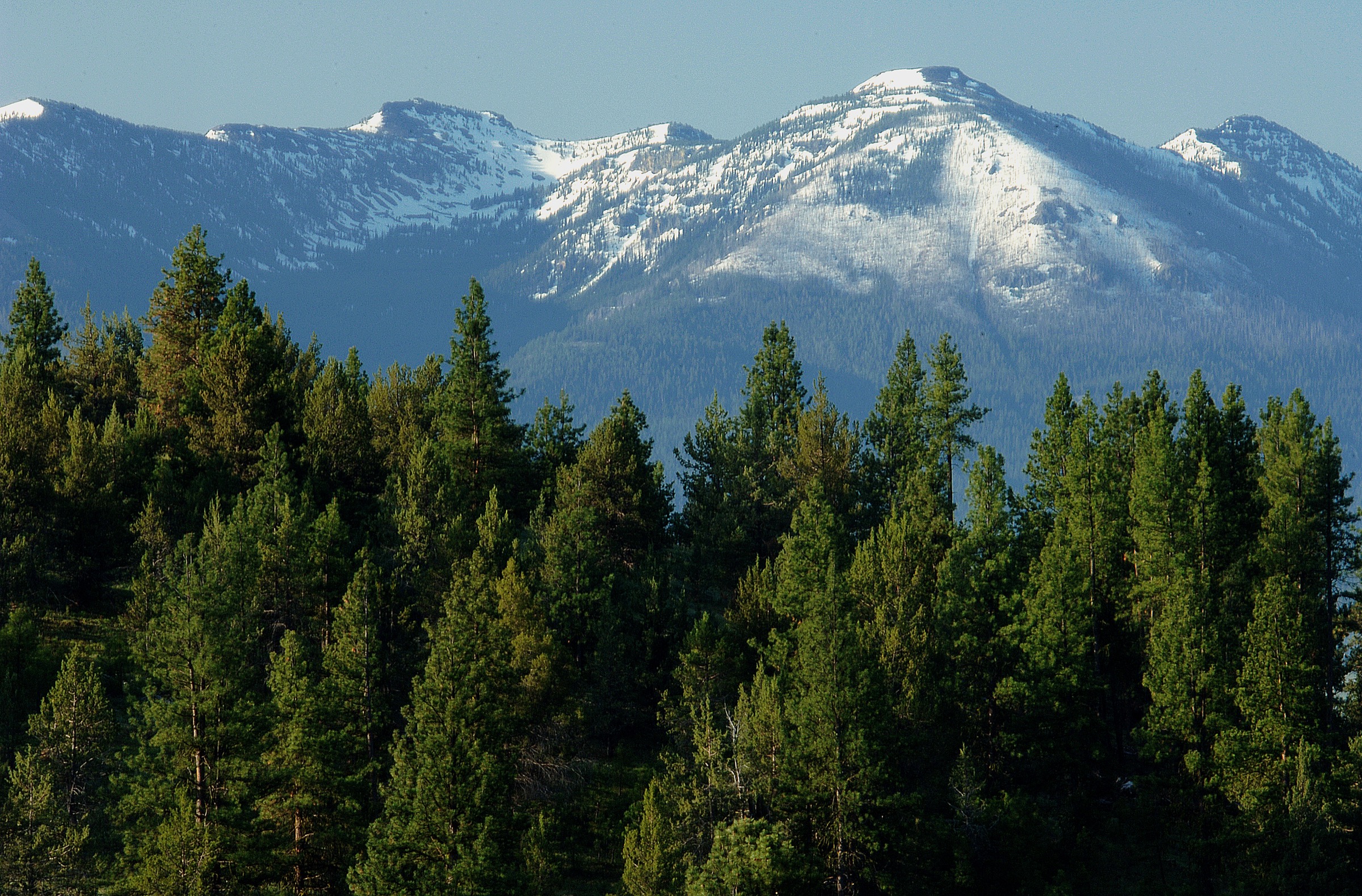
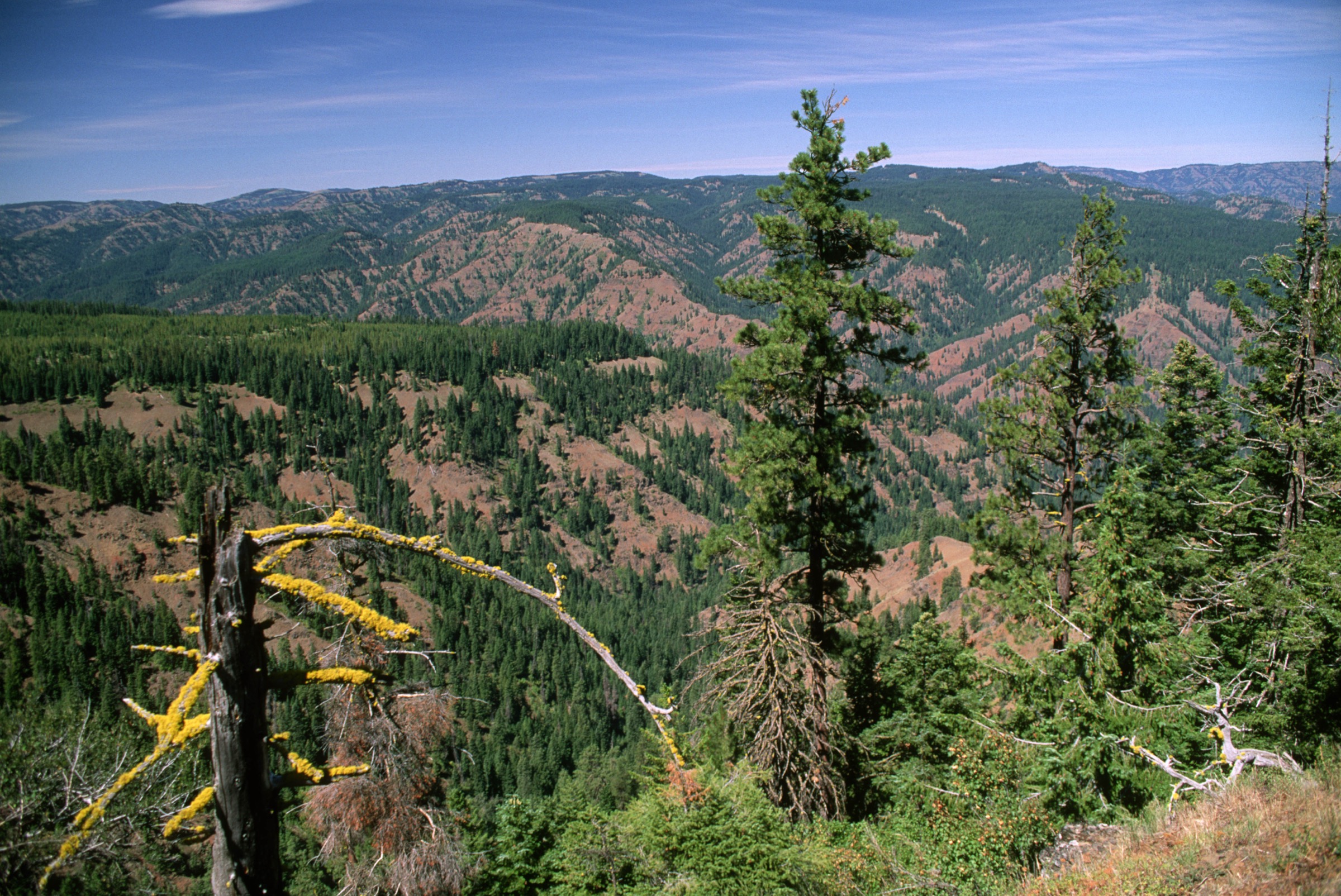
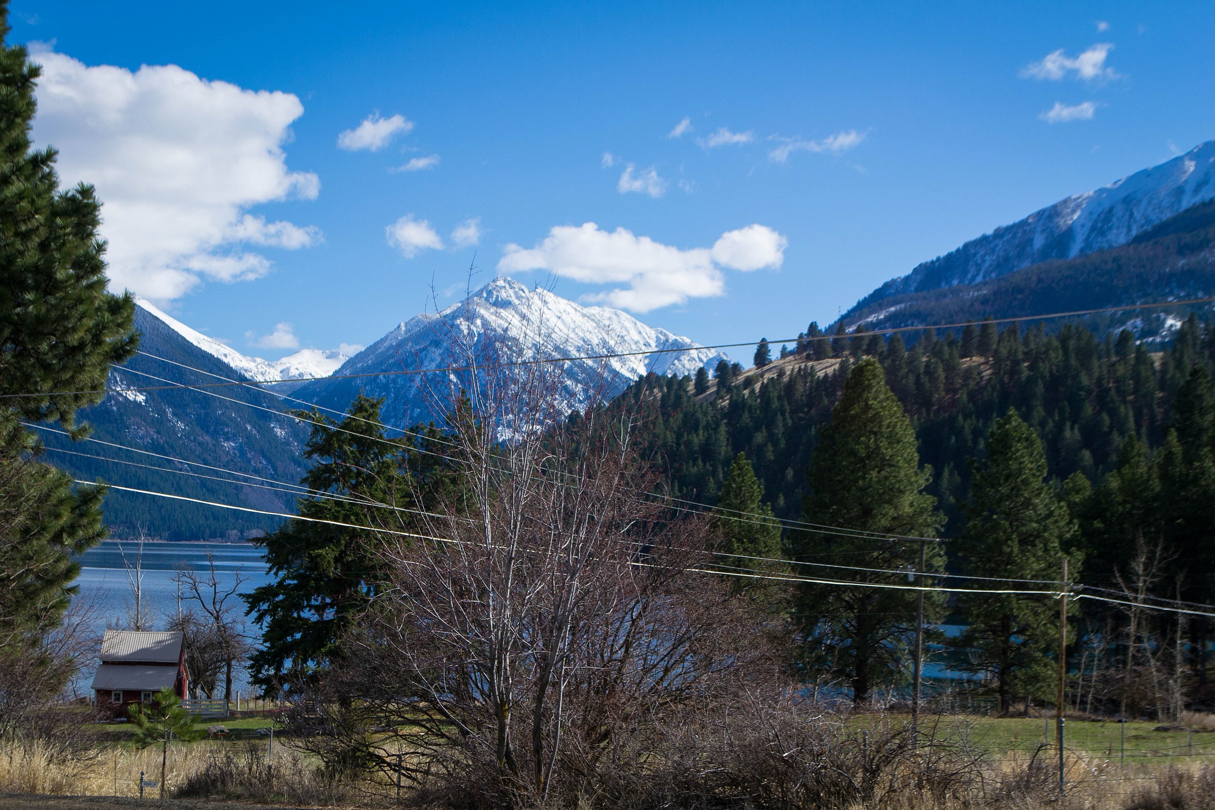
The Wallowa Mountains are northeastern Oregon’s sharp alpine island: glaciated valleys, lake basins, high grassland, granite ridges and a strong cultural landscape around Joseph, Wallowa Lake and Nez Perce history. The Wallowa-Whitman National Forest describes the wider forest as ranging from deep canyons to alpine peaks, with the Wallowa Mountains / Eagle Cap Area centred west of Enterprise, east of La Grande, north of Halfway, and taking in the Wallowa Lake Tramway, Lostine River Canyon, Hurricane Creek, Moss Springs, Catherine Creek, Eagle Creek, Cornucopia and other major access points.
This article covers the broader Wallowa Mountains rather than a pure Eagle Cap Wilderness sampler. It deliberately mixes frontcountry and backcountry day hikes: a glacial-moraine walk above Wallowa Lake, a tram-assisted high viewpoint on Mount Howard, a lower Chief Joseph Mountain approach, a quieter high-basin creek route on the Joseph side and a long forest-to-lake day from the southern Halfway side. The deep-wilderness classics — Ice Lake and the Matterhorn, Aneroid Lake, Mirror Lake and Eagle Cap summit, Maxwell Lake and Echo Lake via Hurricane Creek — are covered in the separate Eagle Cap Wilderness article in the same taxonomy.
Access is by private vehicle everywhere; no public transport was verified to any of the five trailheads, and some approach roads are rough forest road. Cell service is intermittent to non-existent across much of the range. Wildlife context includes black bear, mountain goat and elk on the high country, and bear-safe food storage plus carried bear spray are the standard expectation. The practical hiking season varies sharply by elevation: Wallowa Lake and the lower moraines can be good from April to October, while the high basins and lake destinations are usually July to September objectives with lingering snow into July in a normal year.
See also: Strawberry Mountains, Oregon · Elkhorn Mountains, Oregon.
Selection rationale
The five walks below cover the Wallowas as a range rather than only as a wilderness core. The Wallowa Lake East Moraine Trail reads the glacial landscape from the ground. The Wallowa Tramway Summit Trails on Mount Howard give the range’s most accessible alpine viewpoint. The Chief Joseph Mountain Trail approaches the defining north-face landmark above Wallowa Lake without pushing to the summit. McCully Creek offers a quieter, less-frontcountry version of the range while staying at day-hike scale. Cliff Creek to Pine Lakes broadens the selection to the southern Halfway side and the long lake-basin hikes that define the range away from its most photographed north face. Route stats were cross-checked against AllTrails route pages and public reference articles; no downloadable GPX was retrieved, and route-file status rests on Wallowa-Whitman map pages plus OpenStreetMap.
Summary table
| # | Hike | Country | Route type | Distance | Gain | Max elevation | Difficulty |
|---|---|---|---|---|---|---|---|
| 1 | Wallowa Lake East Moraine Trail | USA | Out-and-back | 6.8 km | 196 m | 1,538 m | Moderate |
| 2 | Wallowa Tramway Summit Trails (Mount Howard) | USA | Summit loop plus paid tram access | 2.6 km | 91 m | 2,516 m | Easy |
| 3 | Chief Joseph Mountain Trail (lower approach) | USA | Out-and-back | 11.3 km | 470 m | 1,747 m | Moderate |
| 4 | McCully Creek Trail | USA | Out-and-back | 16.4 km | 631 m | 2,353 m | Hard |
| 5 | Cliff Creek Trail to Pine Lakes Trail | USA | Out-and-back | 23.2 km | 940 m | 2,559 m | Hard |
1. Wallowa Lake East Moraine Trail
Snapshot
Itinerary
The route climbs gently along the east moraine above Wallowa Lake, giving broad views over the lake, Joseph and the surrounding Wallowa Mountains. Stay on the established route and follow posted access rules — the moraine landscape has had active conservation and private-land access considerations.
Why it is essential
The east moraine is one of the clearest ways to read Wallowa Lake’s glacial setting from the ground. It is shorter and lower than the wilderness hikes, but it is central to understanding the range’s shape and the lake landscape that anchors the north side of the mountains.
Equipment
- Trail runners or light hiking boots
- 1.5–2 L water
- Sun and wind protection
- Snacks for a short day
- Offline map
- Tick check in spring
Hazards and notes
- Respect private-property and conservation boundaries; access status has changed over time.
- Exposed to sun and wind on the moraine crest.
- Ticks may be present in spring.
GPX / route file
| Source | URL | Format | Notes |
|---|---|---|---|
| AllTrails — Wallowa Lake East Moraine Trail | alltrails.com | Source map / proprietary trail database | Direct GPX not retrieved; do not reuse geometry without licence/export authorisation |
| Wallowa-Whitman National Forest maps and guides | fs.usda.gov | Official source-map portal | Use for manual route checking and current trail-status context |
| OpenStreetMap search | openstreetmap.org | Source map | Reusable only under ODbL terms with attribution/share-alike |
Sources
- AllTrails — Wallowa Lake East Moraine Trail
- Wallowa Lake — reference page
- Wallowa-Whitman National Forest — maps and guides
2. Wallowa Tramway Summit Trails (Mount Howard)
Snapshot
Itinerary
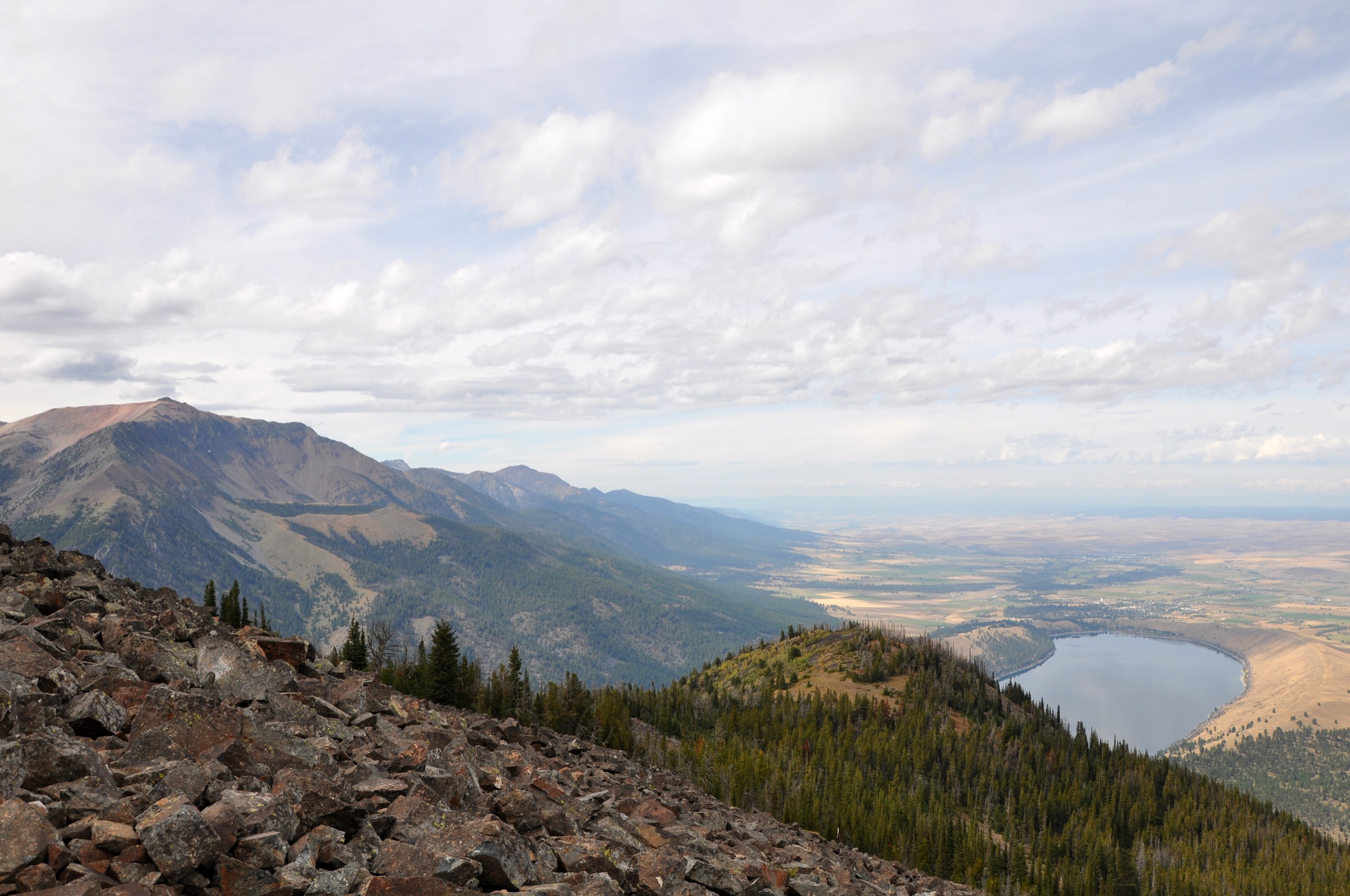
Ride the Wallowa Lake Tramway from the valley floor up to Mount Howard, then walk the signed summit trail system to high overlooks above Wallowa Lake, the Eagle Cap Wilderness and the surrounding Wallowa Mountains. Return to the upper tram station for the ride down.
Why it is essential
This is the range’s most accessible alpine viewpoint. It is not a wilderness test piece, but it gives an immediate high-elevation orientation to the Wallowas — including the north wall above Wallowa Lake and the higher Eagle Cap peaks beyond.
Equipment
- Walking shoes with grip
- Warm layer and wind shell
- Sun protection and hat
- Water for a short walk
- Camera
Hazards and notes
- Tram access is paid, seasonal and weather-dependent.
- The summit is short but exposed and high — sudden weather changes are common.
- Do not start late without confirming the final descent tram time.
GPX / route file
| Source | URL | Format | Notes |
|---|---|---|---|
| Wallowa Lake Tramway — official website | wallowalaketram.com | Official access/operations source | Use for current tram operations, not as route geometry |
| AllTrails — Wallowa Tramway Summit Trails | alltrails.com | Source map / proprietary trail database | Direct GPX not retrieved; do not reuse geometry without licence/export authorisation |
| OpenStreetMap search | openstreetmap.org | Source map | Reusable only under ODbL terms with attribution/share-alike |
Sources
- Wallowa Lake Tramway — official website
- AllTrails — Wallowa Tramway Summit Trails
- Wallowa Lake Tramway — reference page
- Mount Howard (Oregon) — reference page
3. Chief Joseph Mountain Trail (lower approach)
Snapshot
Itinerary
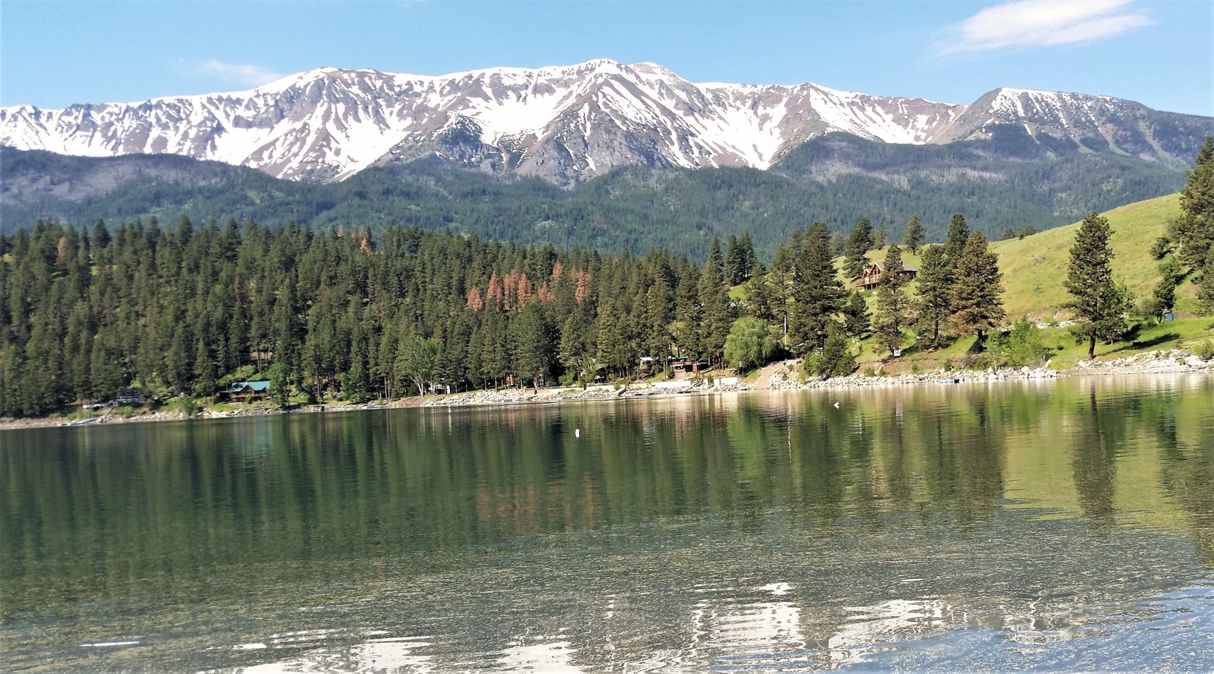
From the Wallowa Lake trailhead area, follow the route over the West Fork Wallowa River and climb through forest, rocky avalanche-field terrain and viewpoint sections. The trail gives views back to Wallowa Lake, Mount Howard and the Eagle Cap high country. Return the same way.
Why it is essential
Chief Joseph Mountain is one of the defining landmarks above Wallowa Lake. This trail gives a non-technical lower approach and viewpoint experience tied to the north-face landscape without presenting the 2,930 m summit as a normal day-hike objective.
Equipment
- Sturdy hiking boots
- Trekking poles
- 2–3 L water and treatment
- Bear spray
- Wind and rain shell
- Warm layer
- Offline map
Hazards and notes
- Trail can be rocky and rough, with avalanche-path terrain.
- The named summit is a scrambling objective and is not part of this route.
- Verify current Wallowa-Whitman trail conditions before travel.
GPX / route file
| Source | URL | Format | Notes |
|---|---|---|---|
| AllTrails — Chief Joseph Mountain Trail | alltrails.com | Source map / proprietary trail database | Direct GPX not retrieved; do not reuse geometry without licence/export authorisation |
| Wallowa-Whitman National Forest maps and guides | fs.usda.gov | Official source-map portal | Use for manual route checking and current trail-status context |
| OpenStreetMap search | openstreetmap.org | Source map | Reusable only under ODbL terms with attribution/share-alike |
Sources
- AllTrails — Chief Joseph Mountain Trail
- Chief Joseph Mountain — reference page
- Wallowa-Whitman National Forest — maps and guides
4. McCully Creek Trail
Snapshot
Itinerary
The route follows McCully Creek into a quieter high valley above the Joseph / Wallowa Lake side of the range. As a day hike, the goal is the upper-valley and basin experience rather than a named summit. Return the same way before committing to any longer wilderness travel from the upper trail.
Why it is essential
McCully Creek gives a less-frontcountry version of the Wallowas while staying at day-hike scale: forest, creek, open high country and fewer crowds than the lake-tram complex.
Equipment
- Hiking boots and trekking poles
- 3 L water and treatment
- Bear spray
- Wind and rain shell
- Warm layer
- Offline map
- Headlamp
Hazards and notes
- Rougher trail conditions, possible deadfall and creekside wet sections.
- Snow patches possible early season; cold storms possible late season.
- Limited cell service and slower rescue access.
GPX / route file
| Source | URL | Format | Notes |
|---|---|---|---|
| AllTrails — McCully Creek Trail | alltrails.com | Source map / proprietary trail database | Direct GPX not retrieved; do not reuse geometry without licence/export authorisation |
| Wallowa-Whitman National Forest maps and guides | fs.usda.gov | Official source-map portal | Use for manual route checking and trail-status context |
| OpenStreetMap search | openstreetmap.org | Source map | Reusable only under ODbL terms with attribution/share-alike |
Sources
- AllTrails — McCully Creek Trail
- Wallowa-Whitman National Forest — recreation
- Wallowa-Whitman National Forest — maps and guides
5. Cliff Creek Trail to Pine Lakes Trail
Snapshot
Itinerary
From the southern Wallowa access side, follow Cliff Creek and the Pine Lakes trail connection into higher lake country. The distance and gain make it a long day hike, but the route stays within non-technical hiking terrain in normal summer conditions. Return the same way.
Why it is essential
This route broadens the Wallowa selection beyond Wallowa Lake and Joseph, representing the Halfway / southern access side and the long lake-basin hikes that define the range away from its most photographed north face.
Equipment
- Sturdy hiking boots and trekking poles
- 3–4 L water and treatment
- Bear spray
- Rain shell and warm layer
- Sun protection
- Offline map and GPS
- Headlamp
Hazards and notes
- Long committing day with high-elevation weather exposure.
- Possible lingering snow, creek crossings and limited cell service.
- Slower parties should plan a shorter turnaround.
GPX / route file
| Source | URL | Format | Notes |
|---|---|---|---|
| AllTrails — Cliff Creek Trail to Pine Lakes Trail | alltrails.com | Source map / proprietary trail database | Direct GPX not retrieved; do not reuse geometry without licence/export authorisation |
| Wallowa-Whitman National Forest maps and guides | fs.usda.gov | Official source-map portal | Use for manual route checking and trail-status context |
| OpenStreetMap search | openstreetmap.org | Source map | Reusable only under ODbL terms with attribution/share-alike |
Sources
- AllTrails — Cliff Creek Trail to Pine Lakes Trail
- Wallowa-Whitman National Forest — Wallowa Mountains / Eagle Cap Area
- Wallowa-Whitman National Forest — maps and guides
Further reading
- Wallowa-Whitman National Forest — Wallowa Mountains / Eagle Cap Area
- Wallowa-Whitman National Forest — maps and guides
- Wallowa Lake Tramway — official website
- Wallowa Mountains — reference page
- Companion article on this site: USA — Eagle Cap Wilderness, Oregon: essential day-hikes — the deep-wilderness sampler (Ice Lake and the Matterhorn, Aneroid Lake, Mirror Lake and Eagle Cap, Maxwell Lake, Echo Lake via Hurricane Creek).
Missing data / follow-up work
- No official GPX or KML downloads were retrieved for any of the five routes; route-file status rests on AllTrails route pages plus the Wallowa-Whitman map portal and OpenStreetMap.
- Route-specific reusable images for McCully Creek and Cliff Creek / Pine Lakes were not verified above the site’s 2000 px floor; only regional and lake-side imagery is currently in place.
- Current-year Wallowa Lake East Moraine access and parking rules should be re-checked before publication, as the moraine has active conservation and land-access considerations.
- Current-year Wallowa Lake Tramway operating calendar and last-descent times should be verified before recommending a late-season summit-trails walk.