Regional overview
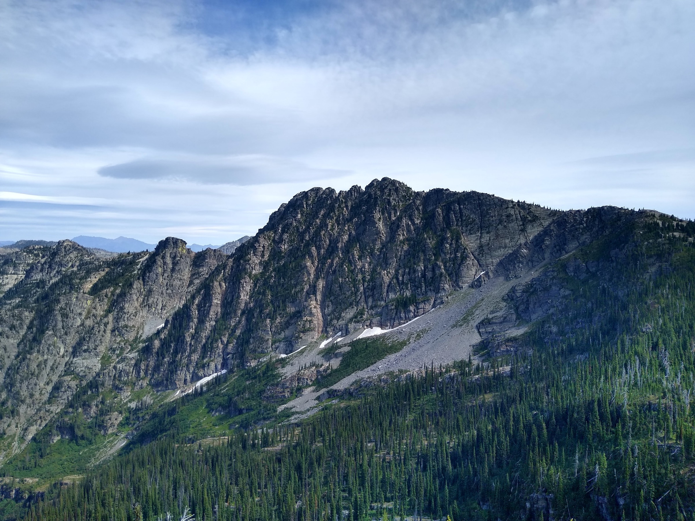
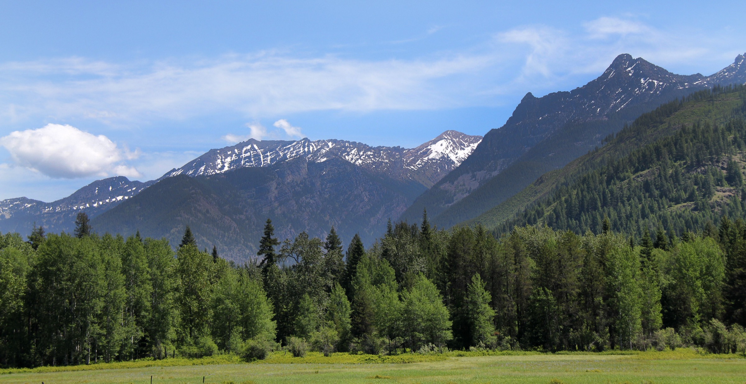
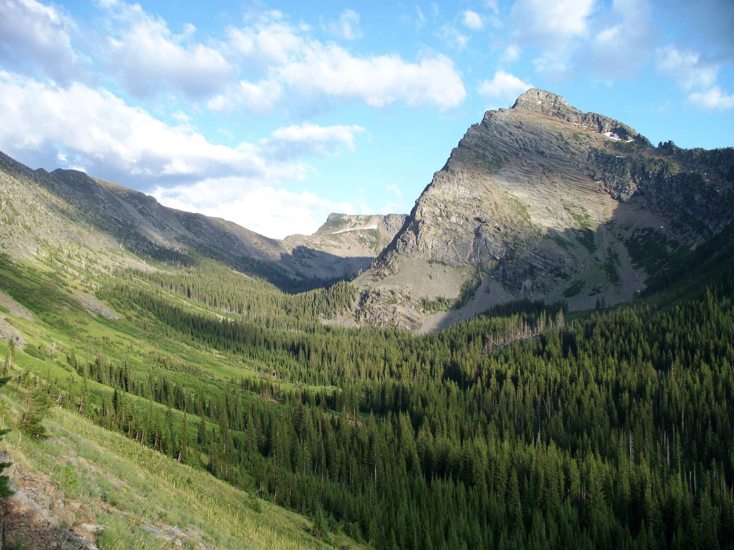
The Cabinet Mountains are a wet, forested, abrupt corner of the northern Rockies, split between northwest Montana and the Idaho border around the Kootenai River, Lake Pend Oreille, the Clark Fork, and the towns of Libby, Troy, Noxon and Trout Creek. The walking character is rugged rather than polished: short approaches can be very steep, trailheads may involve rough forest roads, and many lake basins sit in grizzly-bear habitat with brush, creek crossings, lingering snow patches, mosquitoes and limited cell service. The high crest inside the Cabinet Mountains Wilderness is anchored by Snowshoe Peak (2,663 m / 8,738 ft), the range’s highest summit and the ice-carved backdrop for several of the classic lake hikes.
Current-condition notes checked on 2026-07-13: the Kootenai National Forest recreation page listed forest-wide alerts including a Kootenai flood-event / inaccessible-areas notice and a no-camping closure for the St. Paul Lake Trailhead. The Idaho Panhandle National Forests recreation page listed a seasonal food-storage order and moderate fire danger. Trailhead roads, food-storage rules, fire restrictions and wildfire smoke should be checked before travel.
See also: U.S. Selkirk Mountains · Purcell Mountains (Yaak / Kootenai).
Selection rationale
The five hikes below cover the Cabinets’ essential day-hike faces: the famous Scotchman Peak summit on the Idaho border; a short but steep cirque lake below Snowshoe Peak; two Cabinet Mountains Wilderness lake basins on the Montana side; and the classic Rock Lake waterfall-and-lake route out of Trout Creek. Longer wilderness objectives such as Wanless Lake, Granite Lake and Star Peak were considered but left out to keep the set balanced and mostly within a normal day-hike distance range.
Summary
| # | Hike | Country | Route type | Distance | Gain | Max elevation | Difficulty |
|---|---|---|---|---|---|---|---|
| 1 | Scotchman Peak Trail | USA | Out-and-back | 13.4 km / 8.3 mi | 1,119 m / 3,671 ft | 2,139 m / 7,017 ft | Hard |
| 2 | Leigh Lake | USA | Out-and-back | 4.8 km / 3.0 mi | 354 m / 1,161 ft | 1,587 m / 5,206 ft | Hard |
| 3 | Saint Paul Lake Trail | USA | Out-and-back | 12.6 km / 7.8 mi | 622 m / 2,040 ft | 1,479 m / 4,852 ft | Moderate |
| 4 | Lost Buck Pass Trail to Geiger Lakes | USA | Out-and-back | 9.8 km / 6.1 mi | 527 m / 1,729 ft | 1,638 m / 5,374 ft | Hard |
| 5 | Rock Lake Trail | USA | Out-and-back | 13.2 km / 8.2 mi | 547 m / 1,794 ft | 1,516 m / 4,973 ft | Moderate |
1. Scotchman Peak Trail
Snapshot
Itinerary
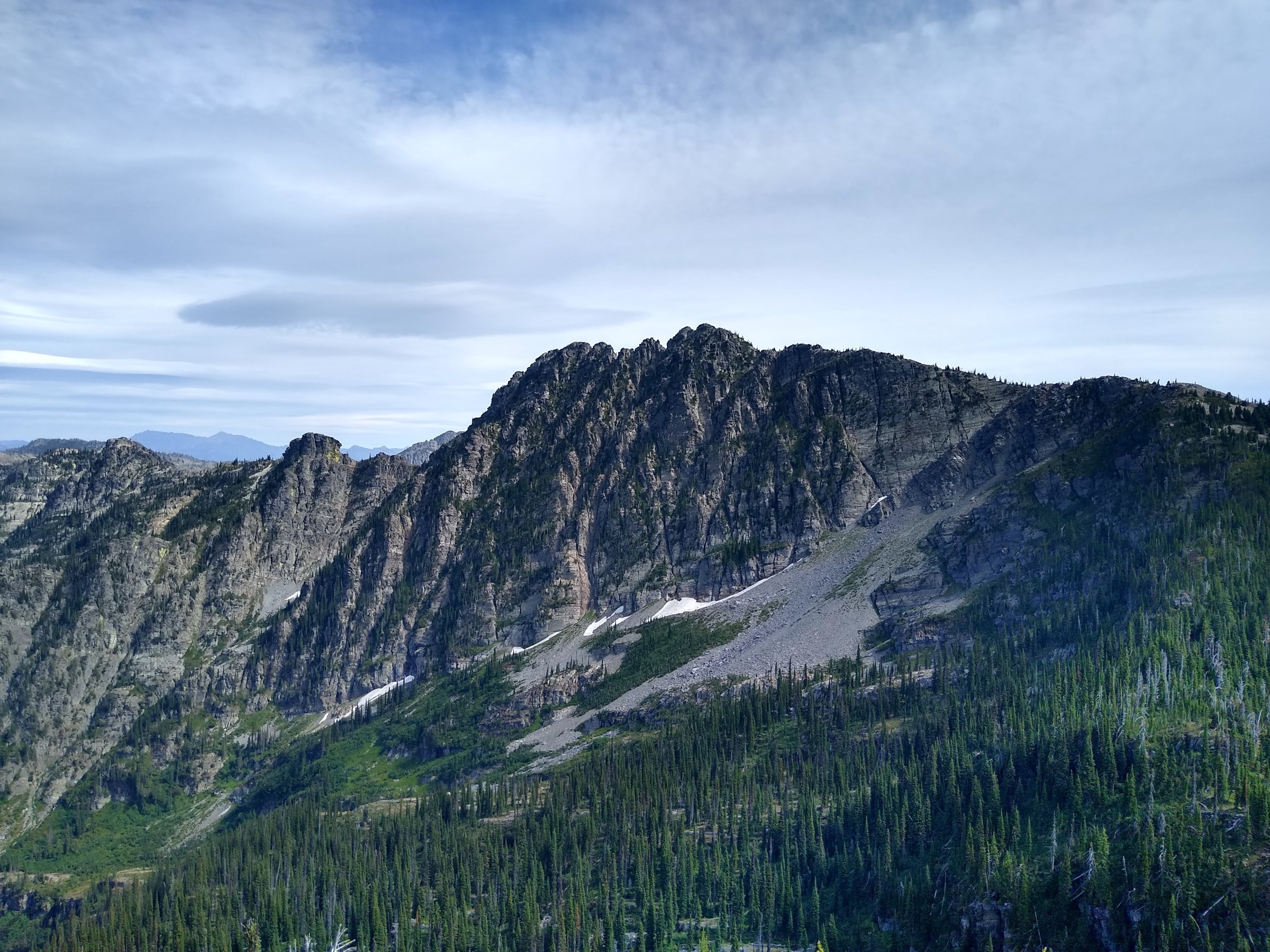
From the Trail 65 access above Clark Fork the path climbs steadily through forest and open ridgeline terrain toward the highest Scotchman Peaks summit. The route gains most of its elevation directly, then finishes with broad views across Lake Pend Oreille, the Cabinet Mountains, the Selkirks and north Idaho. Mountain goats are frequently encountered on the summit ridge; the Forest Service asks hikers to keep well clear and not feed them.
Why it is essential
Scotchman Peak is the best-known summit hike in the Cabinet / Scotchman border country and gives the clearest high viewpoint over the range, taking in Lake Pend Oreille, the Bitterroots to the south, the Cabinets to the east and the Selkirks to the west from a single ridge.
Equipment
- Sturdy boots or grippy trail shoes
- Trekking poles for the steep descent
- Bear spray and bear-aware practices
- 2 L water minimum; sources are unreliable near the summit
- Sun protection, wind and rain layers, warm mid-layer
- Map, GPS and an early start on hot days
Hazards and notes
- Steep sustained climb with a long descent under load; knees and quads will feel it.
- Exposed weather near the summit; storms can build quickly in the afternoon.
- Mountain goats habituated to hikers on the summit ridge — keep distance and do not feed.
- Grizzly bear habitat throughout the area.
- Loose or muddy sections on the mid-mountain traverse.
- Rough forest-road navigation to the trailhead.
- Idaho Panhandle National Forests seasonal food-storage order applies.
Routes and maps
| Source | URL |
|---|---|
| AllTrails — Scotchman Peak Trail | alltrails.com |
| Idaho Panhandle National Forests — recreation | fs.usda.gov |
| OpenStreetMap — Scotchman Peak search | openstreetmap.org |
Further reading
2. Leigh Lake
Snapshot
Itinerary
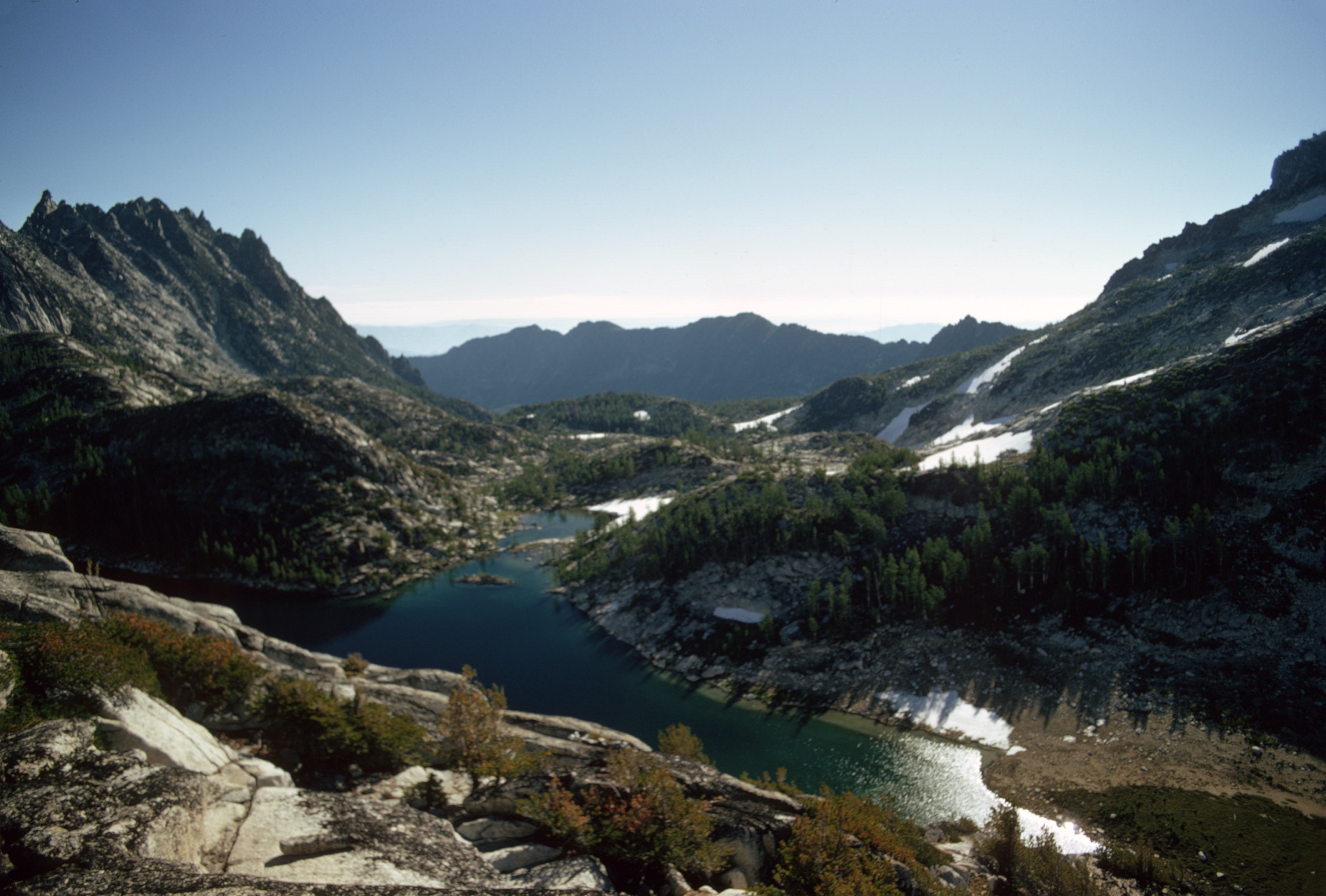
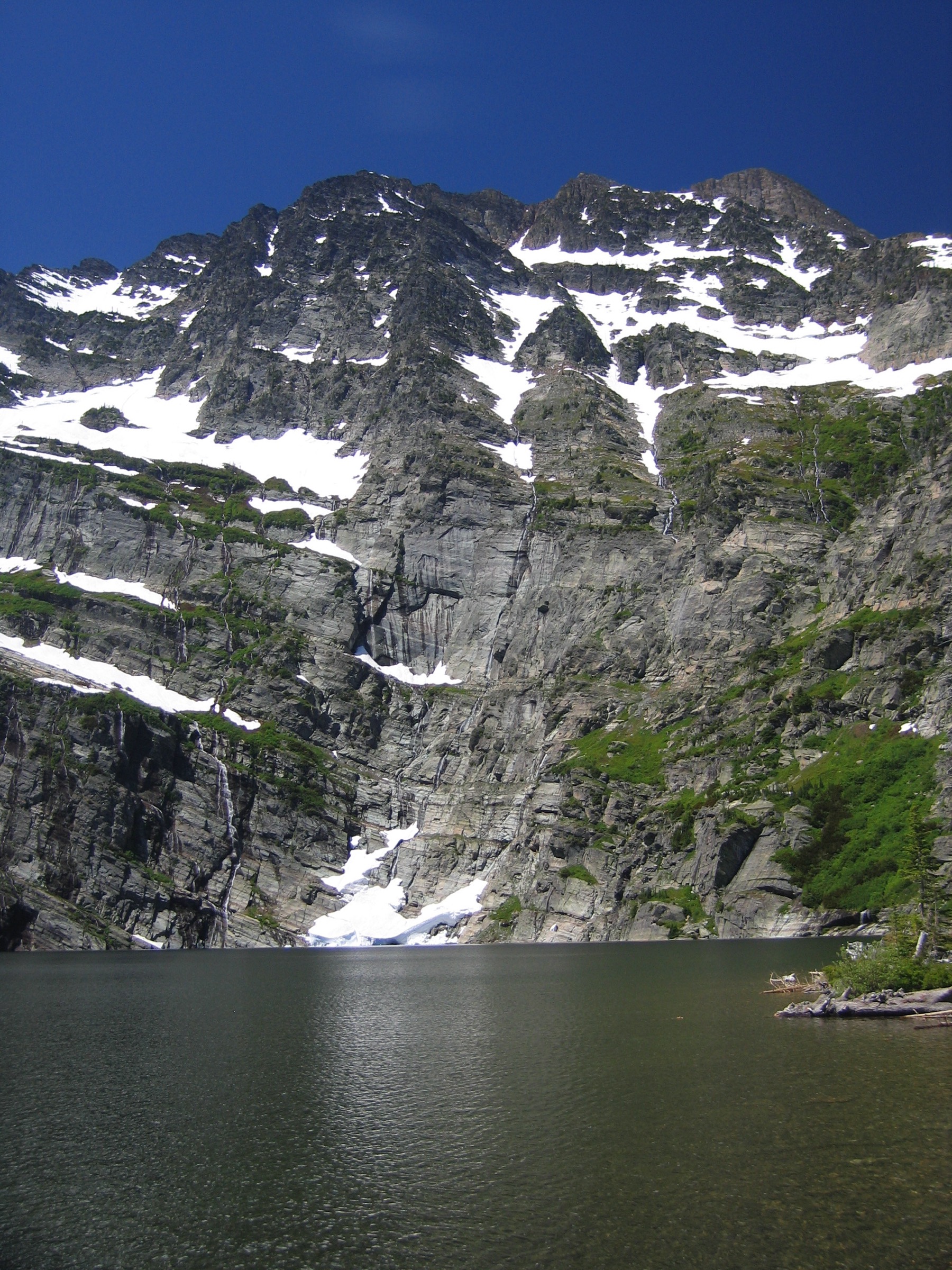
The route climbs quickly through forest and wet, rocky creek terrain to Leigh Lake, a steep-walled cirque lake below Snowshoe Peak. It is short on mileage but feels like a true mountain hike because most of the effort is packed into the climb, over slick rock steps and around downed timber.
Why it is essential
Leigh Lake is the compact Cabinet classic: waterfalls, rock walls, a bright alpine lake and the massif of Snowshoe Peak — the range’s highest summit — visible in one short outing.
Equipment
- Hiking shoes or boots with grippy soles for wet rock
- Trekking poles for the steep descent
- Bear spray
- Water and a filter for the return
- Microspikes or light traction if snow patches remain
- Offline map — the trail is short but the terrain is rough
Hazards and notes
- Steep rocky steps and slick rock, especially when wet.
- Stream crossings and wet feet are common early season.
- Downed trees and lingering snow patches into July.
- Grizzly bear habitat.
- Kootenai National Forest food-storage rules apply.
- Access road is rough; check current condition before driving in.
Routes and maps
| Source | URL |
|---|---|
| AllTrails — Leigh Lake | alltrails.com |
| Kootenai National Forest — recreation | fs.usda.gov |
| OpenStreetMap — Leigh Lake / Snowshoe Peak area | openstreetmap.org |
Further reading
3. Saint Paul Lake Trail
Snapshot
Itinerary
From the St. Paul Lake trailhead the route follows a forested Cabinet Mountains Wilderness approach toward the lake basin. The lower section is a steady, moderate climb through cedar and hemlock; the final section steepens noticeably before reaching the lake and its surrounding high walls.
Why it is essential
Saint Paul Lake is one of the named wilderness lake objectives that represents the wetter, quieter Montana side of the Cabinets, and is short enough to combine with a night out of Libby, Trout Creek or Noxon.
Equipment
- Boots for wet forest tread and the steeper upper section
- Bear spray and bear-aware food storage
- Water treatment; the lake and its inlets are the main sources
- Rain layer — this side of the Cabinets is wet
- Insect repellent for early-summer mosquitoes
- Offline map
Hazards and notes
- Overgrown sections early in the season; brush closes in on the trail.
- Steep final approach.
- Grizzly and black bear habitat; food-storage rules are enforced.
- Wet trail and mosquitoes.
- Remote access from Noxon; verify road status.
- Kootenai National Forest listed a no-camping closure for the St. Paul Lake Trailhead when checked on 2026-07-13; day-use only until updated. Verify current status before departure.
Routes and maps
| Source | URL |
|---|---|
| AllTrails — Saint Paul Lake Trail | alltrails.com |
| Kootenai National Forest — recreation and alerts | fs.usda.gov |
| OpenStreetMap — Saint Paul Lake area | openstreetmap.org |
Further reading
4. Lost Buck Pass Trail to Geiger Lakes
Snapshot
Itinerary
Follow Lost Buck Pass Trail 656 from the forest-road access toward the Geiger Lakes basin. The route can connect deeper into the Cabinet Mountains Wilderness, but this entry uses the out-and-back lake day-hike version — climbing steadily through subalpine forest to the lake benches before returning by the same trail.
Why it is essential
Geiger Lakes add a more remote wilderness-lake objective to the set without committing to a longer Cabinet traverse, and give a much quieter alternative to the busier Leigh Lake side.
Equipment
- Boots and poles for the steep grades
- Bear spray
- Water treatment
- Insect repellent — mosquitoes are heavy in early summer
- Offline map
- An emergency layer for weather changes on the ridge
Hazards and notes
- Backcountry grizzly bear habitat.
- Mosquitoes and overgrown sections early in the season.
- Steep grades on the middle section.
- Remote road approach on NFD 6748; verify condition and clearance before driving in.
Routes and maps
| Source | URL |
|---|---|
| AllTrails — Lost Buck Pass Trail to Geiger Lakes | alltrails.com |
| Kootenai National Forest — recreation | fs.usda.gov |
| OpenStreetMap — Geiger Lakes area | openstreetmap.org |
Further reading
5. Rock Lake Trail
Snapshot
Itinerary
The trail follows forest and creek terrain toward a waterfall and old mining area, then climbs more steeply toward Rock Lake. The lake basin and surrounding slopes make this one of the strongest mid-length Cabinet lake hikes, combining running water, mining history and a compact alpine finish.
Why it is essential
Rock Lake combines several Cabinet signatures in one route: remote access, old mining traces, water crossings, waterfall scenery and a mountain lake finish beneath steep walls.
Equipment
- Boots for slick rock and stream crossings
- Trekking poles for the steep switchbacks
- Bear spray
- Water treatment
- Insect repellent
- Rain shell — this side of the Cabinets is wet
- Navigation
Hazards and notes
- High-clearance vehicle recommended for the access road per AllTrails.
- Water crossings can rise after rain or hot afternoons.
- Steep switchbacks above the waterfall, with slick rock.
- Narrow trail in places.
- Grizzly bear habitat.
Routes and maps
| Source | URL |
|---|---|
| AllTrails — Rock Lake Trail | alltrails.com |
| Kootenai National Forest — recreation | fs.usda.gov |
| OpenStreetMap — Rock Lake Trail area | openstreetmap.org |