Regional overview
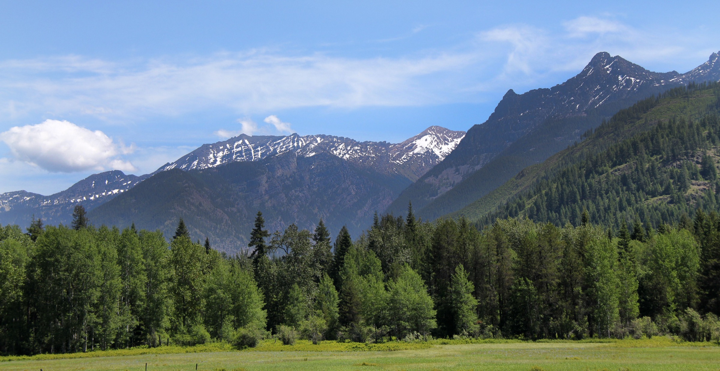
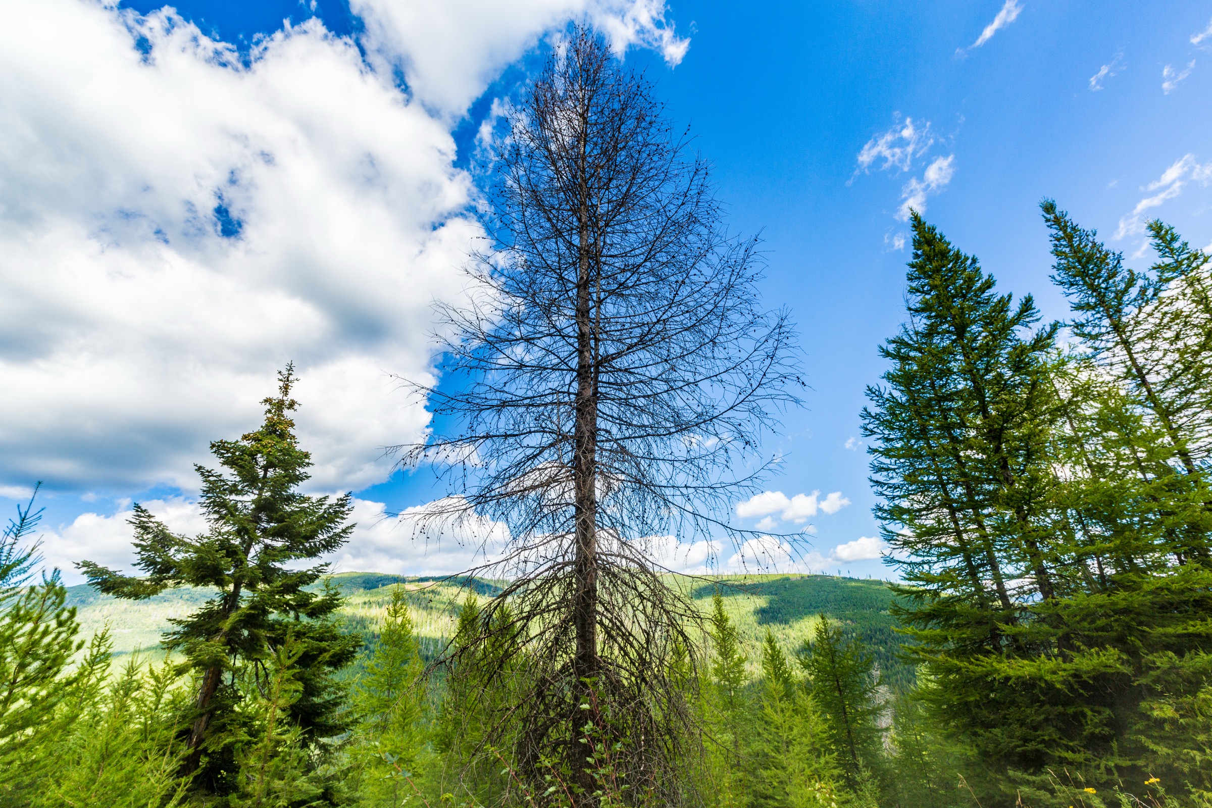
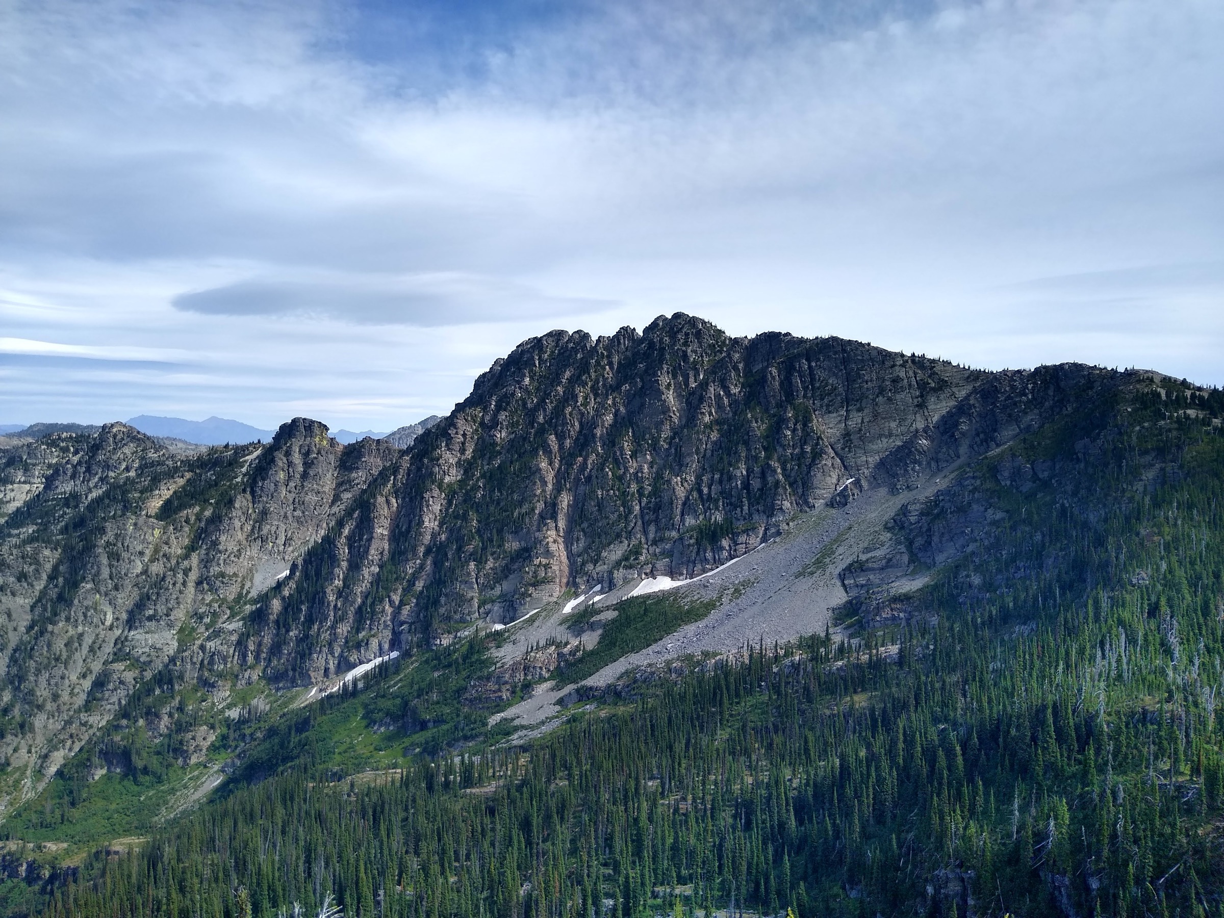
The Priest Lake / Idaho Panhandle region is a wet, forested northern-Rockies and Columbia-Mountains transition zone: big cedar and hemlock forest, rough forest roads, lake basins, granite towers and long snowy ridges on the Idaho–Montana and Idaho–Washington margins. The Idaho Panhandle National Forests describe the Priest Lake region as Selkirk country, with Upper Priest Lake and the Upper Priest River forming a quieter northern extension of the main lake corridor.
The hiking character is road-accessed, remote and weather-dependent. Several of the best routes start from high or rough trailheads, while the lower lake-shore trails offer a different Priest Lake signature: forest, water, beaches and old-growth-influenced valleys. No public transport was verified to any selected trailhead.
The practical season is usually July to October for higher Selkirk and Cabinet objectives, with lake-side routes often possible earlier. Expect snow patches into early summer, rough access roads, deadfall, black bear and grizzly habitat, mountain goats on Scotchman Peak, mosquitoes around lakes and limited cell coverage.
For neighbouring ranges in the same broader taxonomy, see the sister catalogues on the Cabinet Mountains, the Purcell Mountains and the Selkirk Mountains.
See also: U.S. Selkirk Mountains · Purcell Mountains (Yaak / Kootenai).
Selection rationale
These five hikes were selected to represent the region’s essential day-hike forms: a famous Cabinet summit (Scotchman Peak), a Selkirk granite landmark (Chimney Rock), two classic high lake basins (Roman Nose Lakes and Harrison Lake) and the Upper Priest Lake shoreline / navigation corridor. All are feasible as day hikes for fit walkers in normal summer conditions; Chimney Rock is included as a hike to the base / view area, not as a technical rock climb.
Summary
| # | Hike | Trailhead | Route type | Distance | Gain | Max elevation | Difficulty |
|---|---|---|---|---|---|---|---|
| 1 | Scotchman Peak Trail | Scotchman Peak trailhead near Clark Fork, Idaho | Out-and-back summit | 13.4 km | 1,119 m | 2,139 m | Hard |
| 2 | Chimney Rock | Priest Lake forest-road trailhead | Out-and-back to base / view area | 16.3 km | 874 m | 2,105 m (hiking route) | Hard |
| 3 | Roman Nose Lakes | Roman Nose Lakes trailhead | Out-and-back | 6.4 km | 232 m | 1,899 m | Moderate |
| 4 | Harrison Lake Trail | Harrison Lake trailhead near Naples, Idaho | Out-and-back | 7.6 km | 437 m | 1,886 m | Moderate |
| 5 | Upper Priest Lake Navigation Trail | Beaver Creek Campground area | Out-and-back section | 15.4 km | 272 m | 805 m | Moderate |
1. Scotchman Peak Trail
Snapshot
Itinerary
From the Scotchman Peak trailhead, climb continuously through forest and open slopes to the broad summit ridge of Scotchman Peak. The grade is sustained rather than technically difficult. The summit gives a wide panorama over Lake Pend Oreille, the Clark Fork River Valley, the Cabinet Mountains and the Selkirk Mountains.
Why it is essential
Scotchman Peak is one of northern Idaho’s most recognised day summits. Friends of Scotchman Peaks Wilderness describes it as among the most popular and well-travelled hikes in northern Idaho, and the peak is the high point of Bonner County and the Idaho Cabinet Mountains.
Equipment
- Mountain hiking equipment
- Sturdy footwear
- Trekking poles
- 2–3 L water in warm weather
- Bear spray
- Sun and wind protection
- Offline map
- Headtorch for a slower party
Hazards and notes
- Steep, exposed to heat in places, with no reliable water on the climb.
- Mountain goats are common near the summit — keep distance, do not feed or approach.
- Snow can make the route more serious outside the main summer season.
GPX / route file
| Source | URL | Format | Notes |
|---|---|---|---|
| Friends of Scotchman Peaks Wilderness — Trail #65 | scotchmanpeaks.org | Trail description / source map | Site terms not checked for geometry reuse |
| AllTrails — Scotchman Peak Trail | alltrails.com | Source map / route page | AllTrails terms apply; direct GPX not retrieved |
| OpenStreetMap search | openstreetmap.org | Source map | Geometry cross-check; ODbL 1.0 if extracted |
Sources
- Friends of Scotchman Peaks Wilderness — Trail #65
- Idaho Trails Association — Scotchman Peak
- AllTrails — Scotchman Peak Trail
- Wikipedia — Scotchman Peak
2. Chimney Rock
Snapshot
Itinerary
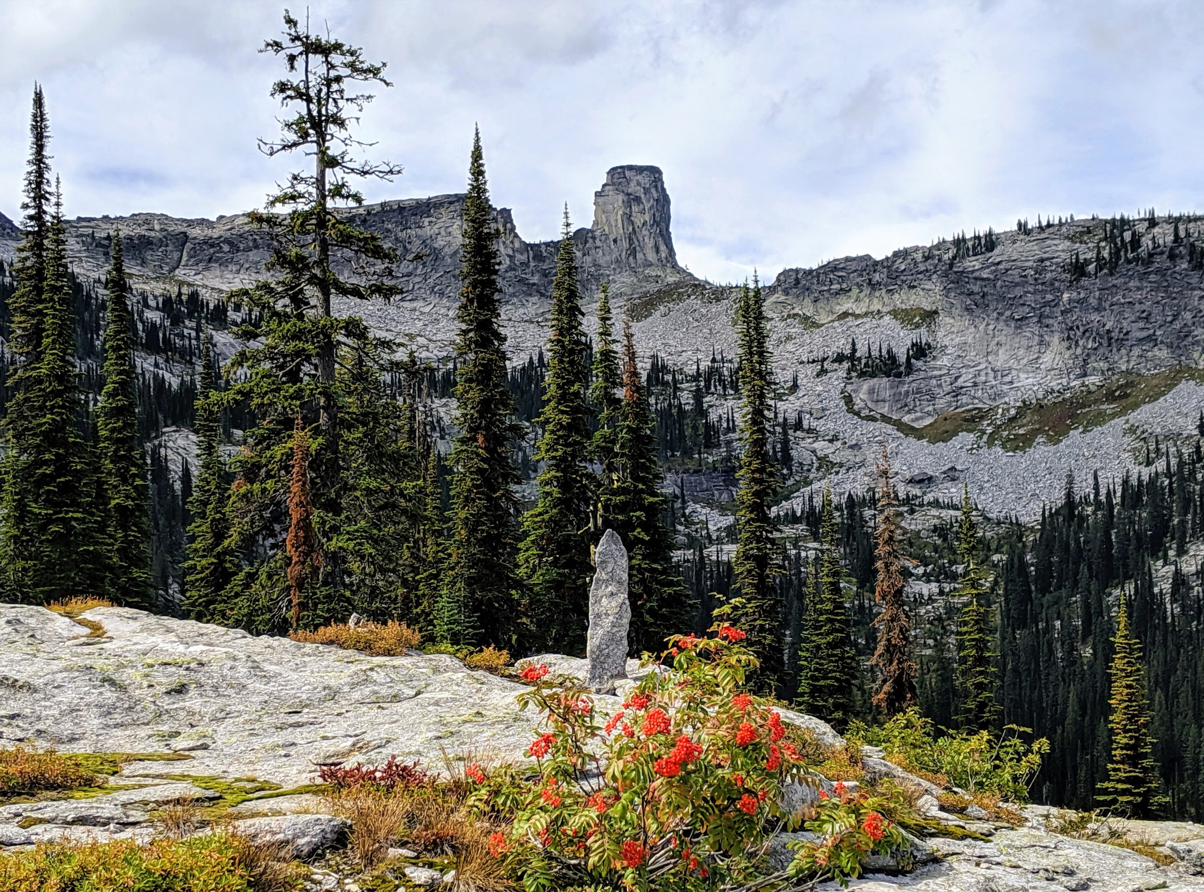
The hiking route climbs from the forest-road trailhead through mixed Selkirk forest, open slopes, creek crossings and rougher boulder terrain toward the base and views of Chimney Rock. Return the same way. The selected catalogue route is the non-technical hiking approach; the granitic tower itself is a climbing objective and is not included.
Why it is essential
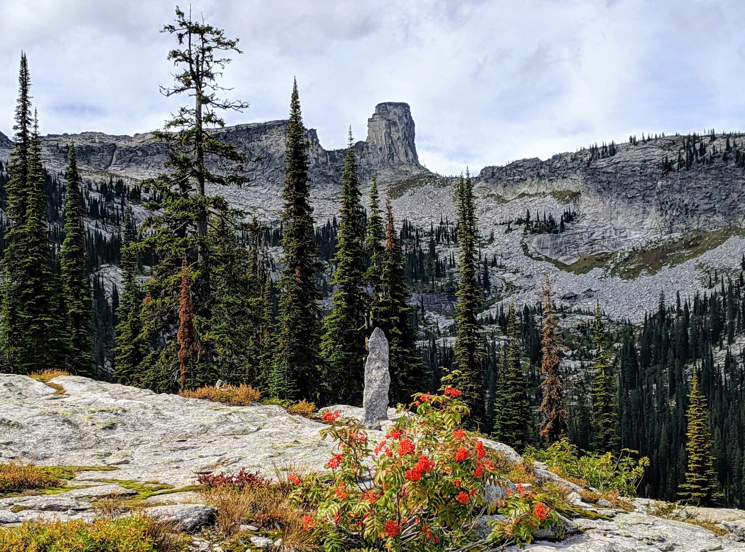
Chimney Rock is one of the best-known Selkirk landmarks above Priest Lake, a striking granite tower about six miles east of the lake. It represents the region’s wilder high-country character more strongly than the lower lake-side walks.
Equipment
- Mountain hiking equipment
- Offline map
- Trekking poles
- Extra water
- Bear spray
- Headtorch
- Footwear suitable for rock, mud and creek crossings
Hazards and notes
- Long, steep and rough in places.
- Possible deadfall, boulder travel, creek crossings and cairned sections.
- Do not treat the rock tower as a walk-up summit — technical climbing is outside this catalogue.
GPX / route file
| Source | URL | Format | Notes |
|---|---|---|---|
| AllTrails — Chimney Rock | alltrails.com | Source map / route page | AllTrails terms apply; direct GPX not retrieved |
| OpenStreetMap search | openstreetmap.org | Source map | Geometry cross-check; ODbL 1.0 if extracted |
| USFS — Idaho Panhandle National Forests recreation | fs.usda.gov | Web page | Access context; no route file found |
Sources
- AllTrails — Chimney Rock
- Wikipedia — Chimney Rock (Idaho)
- USFS — Idaho Panhandle National Forests recreation
3. Roman Nose Lakes
Snapshot
Itinerary
From the high trailhead, follow the trail through forest and subalpine terrain to the Roman Nose lake basin. The short distance, lake scenery and moderate elevation gain make this one of the most rewarding high-country walks in the Idaho Panhandle when the access road is open.
Why it is essential
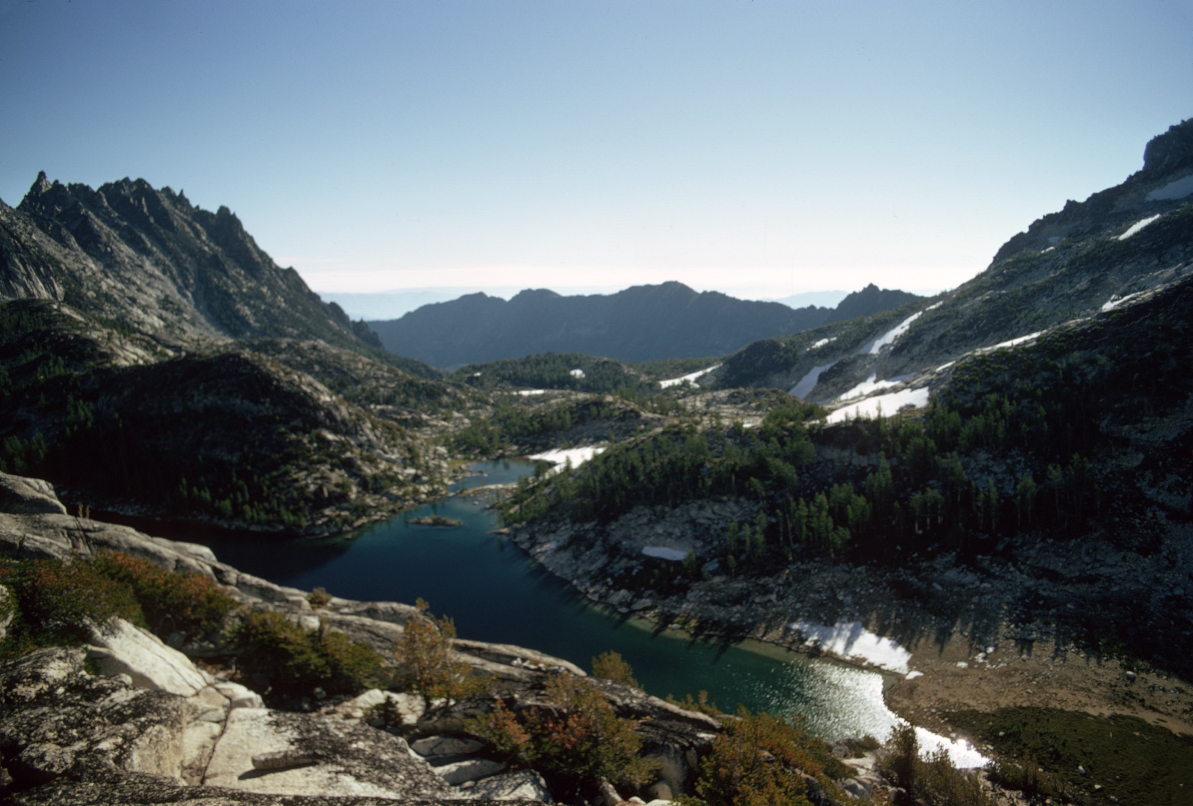
Roman Nose Lakes gives a compact version of the Selkirk high-lake experience: alpine water, granite-and-forest scenery and a high trailhead that makes the basin realistic as a short day hike.
Equipment
- Standard mountain hiking equipment
- Insect protection
- Sun protection
- Bear spray
- Offline map
- High-clearance or 4WD vehicle may be needed depending on current road conditions
Hazards and notes
- Rough access road — frequently reported.
- Heavy mosquitoes around the lakes.
- Snow and mud may linger into early summer.
GPX / route file
| Source | URL | Format | Notes |
|---|---|---|---|
| AllTrails — Roman Nose Lakes | alltrails.com | Source map / route page | AllTrails terms apply; direct GPX not retrieved |
| OpenStreetMap search | openstreetmap.org | Source map | Geometry cross-check; ODbL 1.0 if extracted |
| USFS — Idaho Panhandle National Forests recreation | fs.usda.gov | Web page | Access context; no route file found |
Sources
4. Harrison Lake Trail
Snapshot
Itinerary
The trail climbs from the forest-road trailhead through Selkirk forest, roots, rocks and steeper tread to Harrison Lake. The lake is the natural turnaround, with a compact alpine-basin reward for a moderate but rough mountain walk.
Why it is essential
Harrison Lake is a classic Idaho Panhandle lake hike: relatively short, scenic and rugged enough to feel like true Selkirk backcountry without the full-day effort of Chimney Rock or Scotchman Peak.
Equipment
- Mountain hiking equipment
- Sturdy footwear
- Trekking poles
- Insect protection
- Bear spray
- Offline map
- High-clearance vehicle may be needed for the rough access road
Hazards and notes
- Steep, rooty, rocky tread and limited parking.
- Snow, mud and downed trees may affect early-season access.
GPX / route file
| Source | URL | Format | Notes |
|---|---|---|---|
| AllTrails — Harrison Lake Trail | alltrails.com | Source map / route page | AllTrails terms apply; direct GPX not retrieved |
| OpenStreetMap search | openstreetmap.org | Source map | Geometry cross-check; ODbL 1.0 if extracted |
| USFS — Idaho Panhandle National Forests recreation | fs.usda.gov | Web page | Access context; no route file found |
Sources
5. Upper Priest Lake Navigation Trail
Snapshot
Itinerary
From the Beaver Creek / Priest Lake north-end access area, follow the Navigation Trail through forest along the Upper Priest Lake corridor. The route gives a low-elevation alternative to the high Selkirk hikes, with lake, forest and quiet shoreline as the main features. Turn around at a comfortable day distance and return the same way.
Why it is essential
Upper Priest Lake is central to the region’s identity. This hike represents the water-and-forest side of the Idaho Panhandle: quieter, lower and more historically tied to travel along lake and river corridors than the high summit and lake-basin hikes.
Equipment
- Standard hiking equipment
- Bear spray
- Insect protection
- Water treatment if using lake / stream water
- Rain shell
- Offline map
Hazards and notes
- Lower than the alpine hikes but still remote.
- Mosquitoes, muddy stretches, deadfall and bear habitat.
- Check campground and road access before travel.
GPX / route file
| Source | URL | Format | Notes |
|---|---|---|---|
| AllTrails — Upper Priest Lake Navigation Trail | alltrails.com | Source map / route page | AllTrails terms apply; direct GPX not retrieved |
| USFS — Priest Lake Region | fs.usda.gov | Web page | Regional / access context |
| OpenStreetMap search | openstreetmap.org | Source map | Geometry cross-check; ODbL 1.0 if extracted |
Sources
- USFS — Priest Lake Region
- USFS — Idaho Panhandle National Forests recreation
- AllTrails — Upper Priest Lake Navigation Trail
Region-level sources
| Source | URL |
|---|---|
| USFS — Idaho Panhandle National Forests recreation | fs.usda.gov |
| USFS — Priest Lake Region | fs.usda.gov |
| Friends of Scotchman Peaks Wilderness — Trail #65 | scotchmanpeaks.org |
| Idaho Trails Association — Scotchman Peak | idahotrailsassociation.org |
| Wikipedia — Scotchman Peak | en.wikipedia.org |
| Wikipedia — Chimney Rock (Idaho) | en.wikipedia.org |
| Wikimedia Commons — Scotchman Peak ridgeline | commons.wikimedia.org |
| Wikimedia Commons — Chimney Rock (Idaho) | commons.wikimedia.org |
| OpenStreetMap (ODbL 1.0) | openstreetmap.org |
Further reading
- Cabinet Mountains — essential day-hikes — the sister range on the Idaho–Montana border, with Snowshoe Peak as the high point
- Selkirk Mountains — essential day-hikes — the broader Selkirk range covering the higher and quieter US-side backcountry
- Purcell Mountains — essential day-hikes — the northeastern neighbour range, in Idaho and Montana
Missing data / follow-up work
- No downloadable GPX / KML was retrieved for any of the five routes; AllTrails, OpenStreetMap and Friends of Scotchman Peaks links are source-map references only. Route geometry can be extracted from OpenStreetMap under ODbL with attribution and share-alike.
- Licence-compatible route-specific photos were not verified for Roman Nose Lakes, Harrison Lake or the Upper Priest Lake Navigation Trail. AllTrails and ordinary tourism images were not used because reusable licence terms are not verified.
- Access-road status for Roman Nose Lakes and Harrison Lake needs local confirmation before travel — high-clearance vehicles are frequently recommended.
- Chimney Rock hiking route elevation vs. rock-tower summit elevation should be double-checked against a topo before using as a high-point reference.
- Bear-storage and food-storage orders on the Idaho Panhandle National Forests can change season to season; check current alerts before travel.