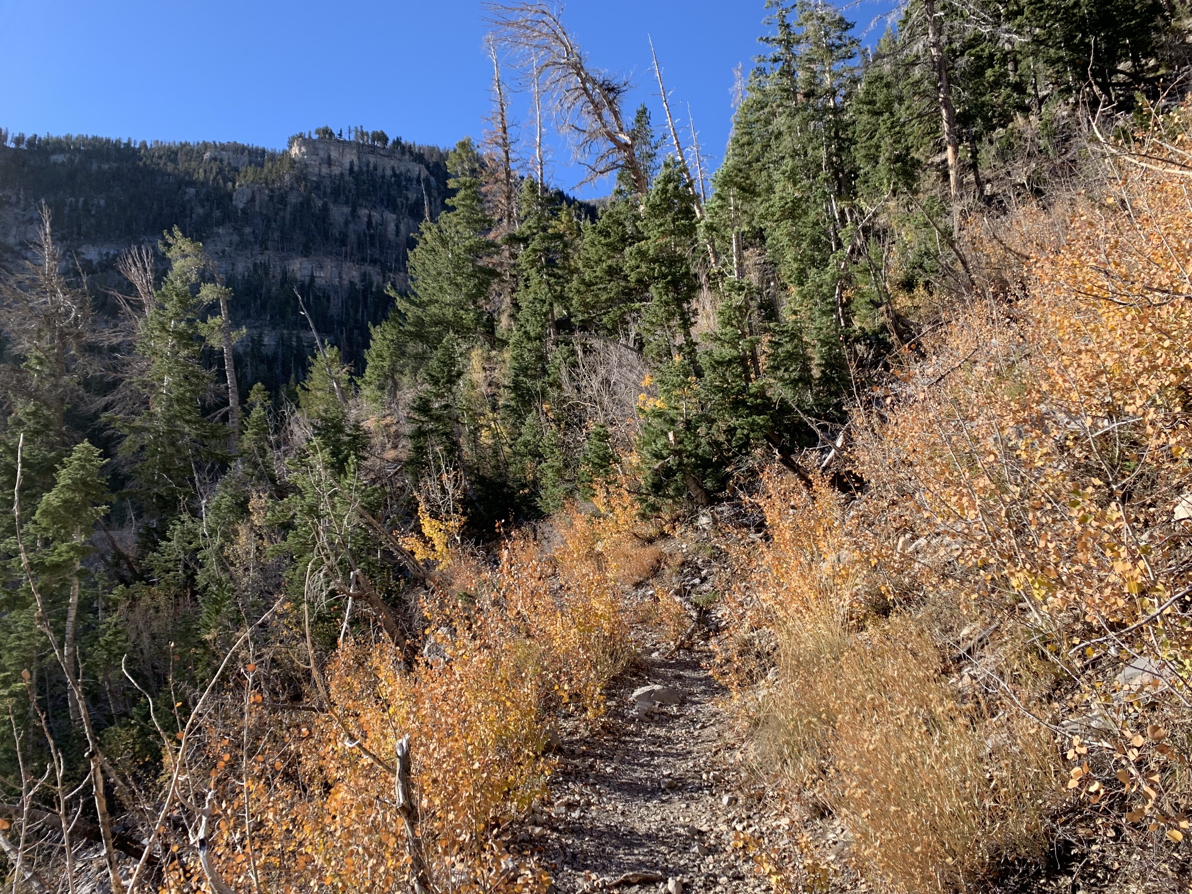
Regional overview
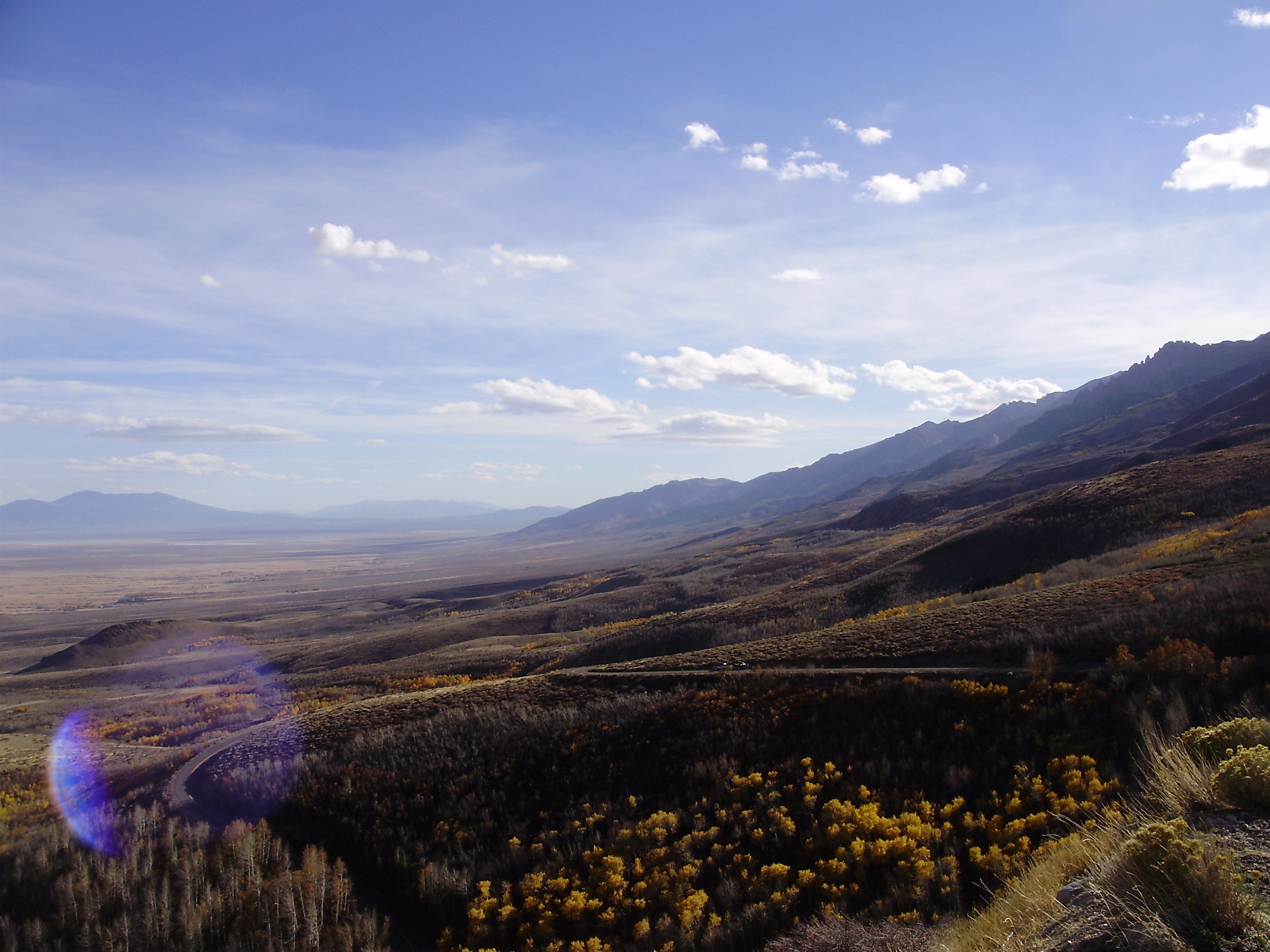
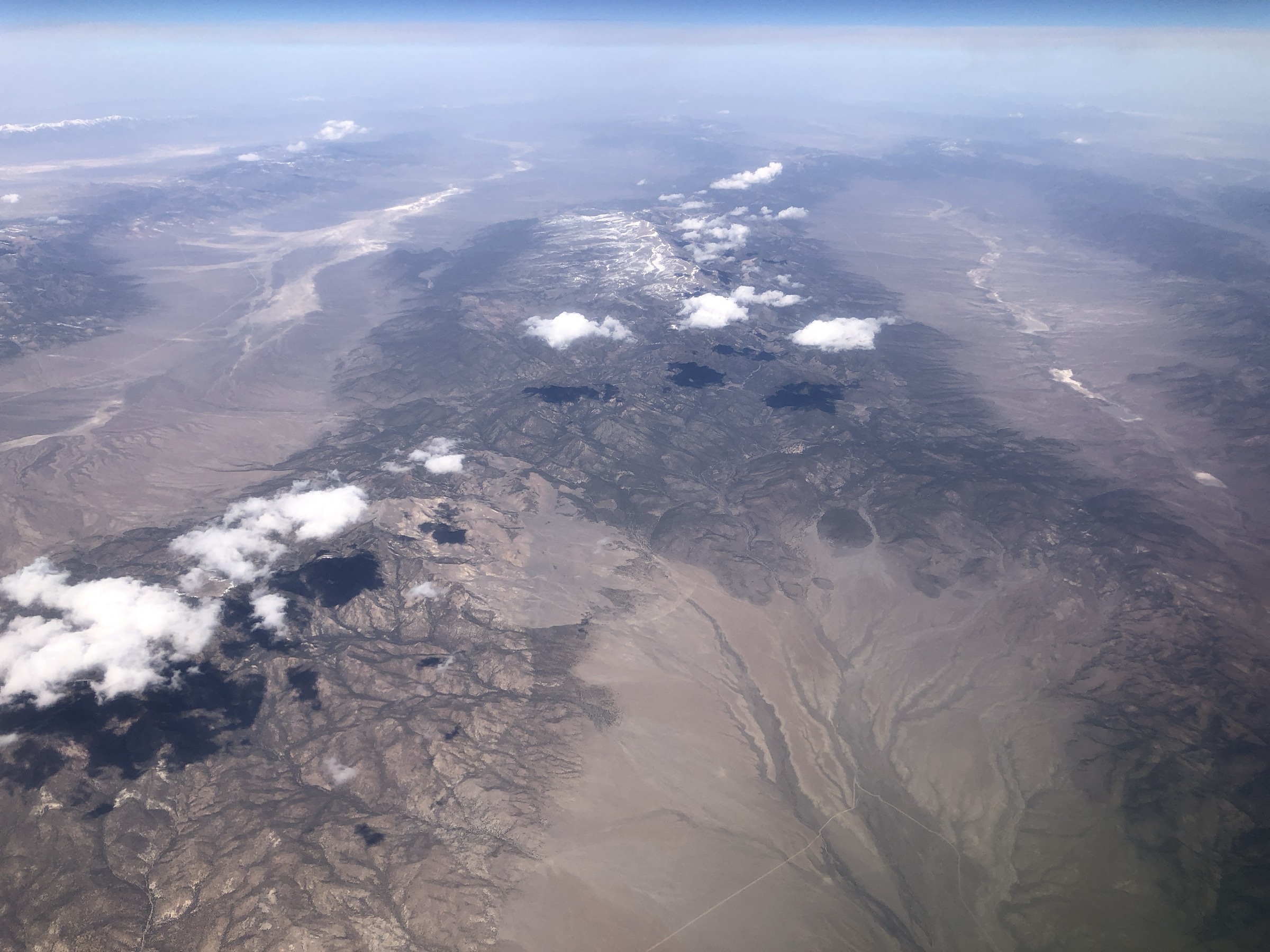
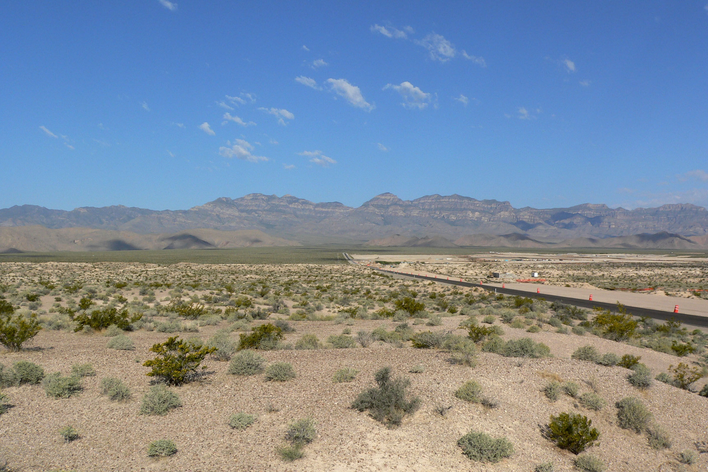
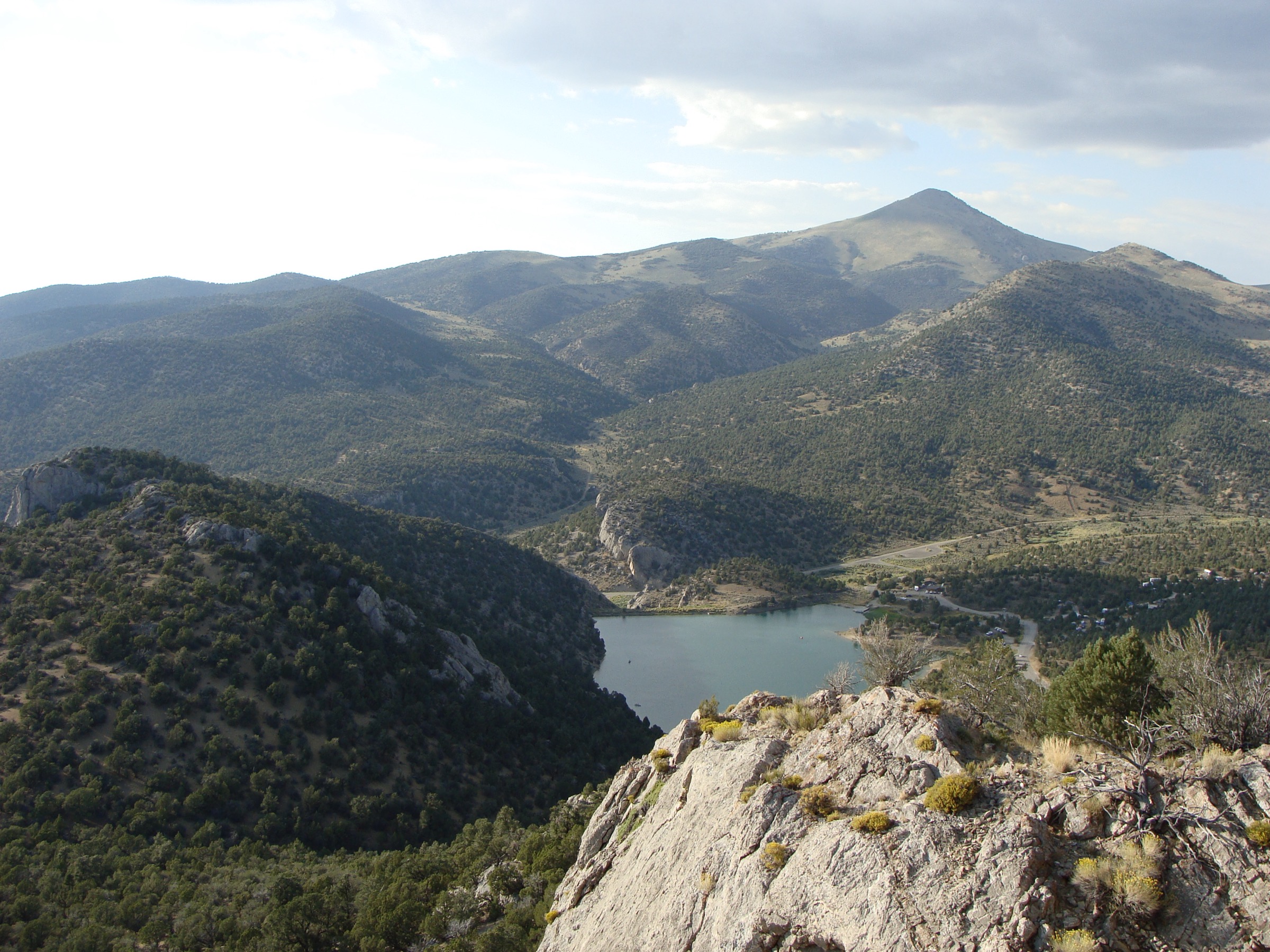
The Spring Mountains rise immediately west and northwest of Las Vegas, with Charleston Peak reaching 11,916 ft / 3,632 m and a cool high-elevation forest sitting above Mojave Desert basins. The core hiking area is the Spring Mountains National Recreation Area of the Humboldt-Toiyabe National Forest, established by federal statute over about 316,000 acres. The range is strongly vertical: desert washes and pinyon-juniper slopes give way to ponderosa pine, aspen, fir, bristlecone pine, limestone cliffs and high ridges.
The walking character is dry, high and changeable. Even accessible trails start high by desert standards, and the major summit routes involve sustained climbs, exposed ridges, summer lightning, snow patches into early summer and limited water. The current access picture is unusually important: Tropical Storm Hilary damage still affects several classic Kyle Canyon and Lee Canyon trails. Go Mt. Charleston’s current-conditions page lists South Loop, Griffith Peak, Fletcher Canyon, North Loop and Lower Bristlecone as open, while Cathedral Rock Trail, Mary Jane Falls Trail, Trail Canyon Trail and Upper Bristlecone Trail are closed. This entry therefore selects currently open routes and mentions the closed classics only as context.
For neighbouring Great Basin ranges in the same broader taxonomy, see the sister catalogues on the Schell Creek Range and the Toquima Range.
See also: Schell Creek Range, Nevada · Toquima Range, Nevada.
Selection rationale
The five hikes cover the open, legal, essential Spring Mountains experiences as of July 2026: the range high point, a shorter high summit, a limestone canyon, an ancient bristlecone / North Loop objective, and an accessible Lee Canyon forest route. Official Forest Service and Go Mt. Charleston current-condition sources were used for access status. Route statistics are from AllTrails where official distance / gain tables were not found; those route geometries should not be reused directly unless AllTrails terms permit it.
Summary
| # | Hike | Trailhead | Route type | Distance | Gain | Max elevation | Difficulty |
|---|---|---|---|---|---|---|---|
| 1 | Charleston Peak via South Loop | Cathedral Rock Picnic Area / South Loop Trailhead | Out-and-back summit | 26.6 km | 1,480 m | 3,632 m (11,916 ft) | Hard / strenuous |
| 2 | Griffith Peak from Harris Springs Road | Griffith Peak Trailhead, Harris Springs Road | Out-and-back summit | 17.3 km | 903 m | 3,372 m (11,063 ft) | Hard |
| 3 | Fletcher Canyon Trail | Fletcher Canyon Trailhead, Kyle Canyon Road | Out-and-back canyon | 6.1 km | 291 m | 2,413 m (7,916 ft) | Moderate |
| 4 | Raintree via North Loop | North Loop Trailhead | Out-and-back high forest | 8.9 km | 524 m | 3,053 m (10,016 ft) | Hard |
| 5 | Lower Bristlecone Trail | Lower Bristlecone Trailhead, Lee Canyon | Out-and-back high forest | 9.7 km | 247 m | 2,827 m (9,274 ft) | Moderate |
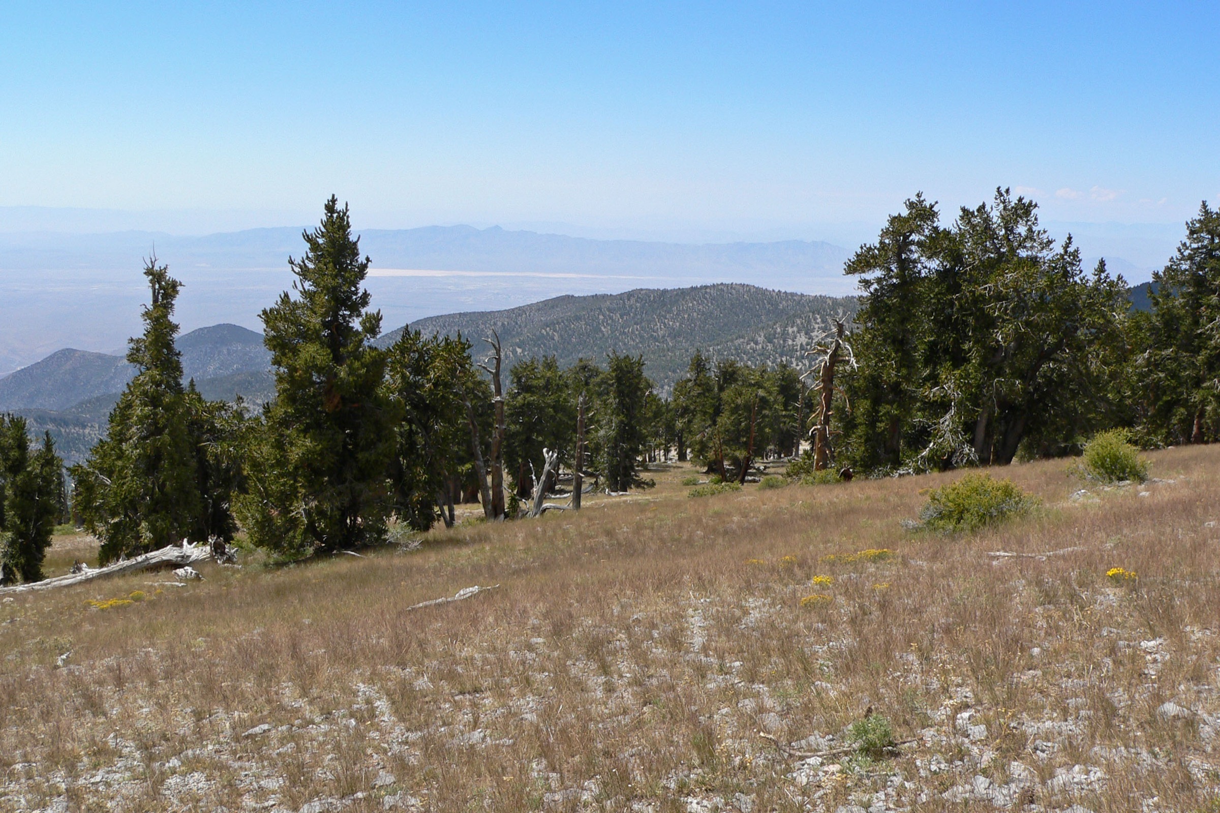
1. Charleston Peak via South Loop
Snapshot
Itinerary
From the South Loop Trailhead in the Cathedral Rock Picnic Area, the trail climbs through forest toward the Echo Cliffs, then continues through switchbacks, high meadow terrain and exposed upper ridges to Charleston Peak. Return by the same route. The route must stay on the open South Loop corridor; the adjacent Cathedral Rock Trail is closed.
Why it is essential
Charleston Peak is the high point of the Spring Mountains and the defining strenuous day hike of the range.
Equipment
- Sturdy footwear
- 3–4 L water minimum
- Food and sun protection
- Warm and wind layer with rain shell
- Map and GPS
- Headlamp for long days
- Trekking poles recommended
- Traction or ice axe when snow lingers
Hazards and notes
- Long distance and high altitude — plan pace and turnaround times carefully.
- Dehydration risk on a dry, sun-exposed route.
- Lightning and high wind on exposed ridge and treeline sections.
- Lingering snow and ice into early summer.
- Limited water on route.
GPX / route file
| Source | URL | Format | Notes |
|---|---|---|---|
| USFS — Mount Charleston National Recreation Trail / South Loop | fs.usda.gov | Official trail page | Official route corridor, access landmarks and wilderness setting |
| USFS TrailNFS — South Loop #25145 | apps.fs.usda.gov | GeoJSON | USDA Forest Service data; official geometry; reuse terms should be confirmed before shipping geometry |
| AllTrails — Charleston Peak South Trail | alltrails.com | Source route map | Distance, gain, max elevation, route type and difficulty checked; AllTrails terms apply, do not reuse proprietary geometry directly |
| National Recreation Trails — Mount Charleston | nrtapplication.org | Official / historic record | NRT status and historic 8 mi length; use as recognition context, not full current geometry |
| Go Mt. Charleston — current conditions | gomtcharleston.com | Current access page | South Loop listed open; adjacent Cathedral Rock closed |
Sources
- Go Mt. Charleston — Current Conditions & Closures
- AllTrails — Charleston Peak South Trail
- National Recreation Trails — Mount Charleston
- U.S. Code — Spring Mountains National Recreation Area Act
- Wikimedia Commons — Fall Colors on South Loop Trail to Charleston Peak
- Wikimedia Commons — Charleston Peak South Loop Trail Sign
2. Griffith Peak from Harris Springs Road
Snapshot
Itinerary
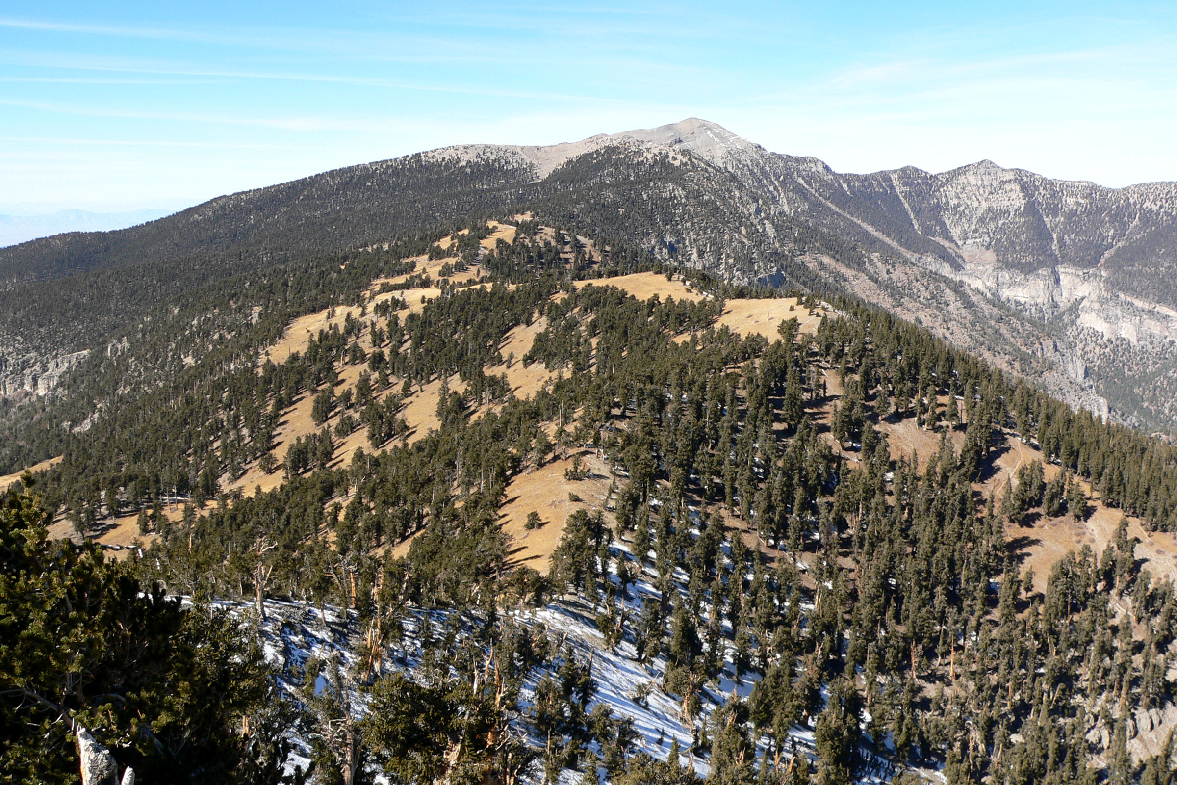
From the Griffith Peak Trailhead off Harris Springs Road, follow the official Griffith Peak Trail through the Mount Charleston Wilderness toward the summit area. The Forest Service page states that the trail reaches near the top of Griffith Peak — 11,063 ft / 3,372 m — after about 5 mi, then continues to meet the South Loop Trail. For a day-hike, turn round at or near Griffith Peak rather than extending toward Charleston Peak.
Why it is essential
Griffith Peak is the region’s classic second high summit, with big views into Kyle Canyon and across the Spring Mountains — without committing to the longer Charleston Peak day. The Harris Springs approach is quieter than the Cathedral Rock trailheads and avoids the closed Kyle Canyon connectors.
Equipment
- Sturdy footwear and trekking poles
- 3 L water minimum
- Sun protection
- Wind and rain layer, warm layer
- Food
- Map and GPS
- Traction where snow may remain
Hazards and notes
- Long climb at altitude on a dry route.
- Exposed summit winds and lightning risk.
- Snow or ice outside the warm season.
- Unpaved Harris Springs Road access is not recommended for low-clearance vehicles per the Forest Service.
- No reliable water on route.
GPX / route file
| Source | URL | Format | Notes |
|---|---|---|---|
| USFS — Griffith Peak Trail | fs.usda.gov | Official trail page | Trail name, 5.34 mi corridor, summit elevation and Harris Springs Road access verified |
| USFS TrailNFS — Griffith Peak #25140 | apps.fs.usda.gov | GeoJSON | USDA Forest Service data; official geometry; reuse terms should be confirmed before shipping geometry |
| AllTrails — Griffith Peak from Harris Springs Road | alltrails.com | Source route map | Distance, gain and time checked; AllTrails terms apply, do not reuse proprietary geometry directly |
| Go Mt. Charleston — current conditions | gomtcharleston.com | Current access page | Griffith Peak Trail listed open |
Sources
- USFS — Griffith Peak Trail
- Go Mt. Charleston — Current Conditions & Closures
- AllTrails — Griffith Peak from Harris Springs Road
- Wikimedia Commons — Griffith Peak seen from the top of Trail Canyon (Stan Shebs, CC BY-SA 3.0)
3. Fletcher Canyon Trail
Snapshot
Itinerary
From the Fletcher Canyon Trailhead, follow the old road / trail into the canyon. The route starts broad and relatively gentle, then narrows into limestone canyon terrain where footing becomes rockier and minor scrambling may be needed before the turnaround. Return down the same canyon.
Why it is essential
Fletcher Canyon is the currently open classic canyon hike in the Mount Charleston area and a good contrast to the high ridge and summit routes.
Equipment
- Sturdy shoes
- Water and sun protection
- Light layer
- Map and GPS
- Poles useful on loose wash gravel
Hazards and notes
- Loose gravel and confusing wash / old-roadbed sections.
- Slippery rocks and light scrambling near the upper end.
- Flash-flood risk in and after monsoon storms.
- Partial sun exposure on the lower canyon.
GPX / route file
| Source | URL | Format | Notes |
|---|---|---|---|
| USFS — Fletcher Canyon Trail | fs.usda.gov | Official trail page | Trail description, terrain notes and hazards |
| AllTrails — Fletcher Canyon Trail | alltrails.com | Source route map | Distance, gain, max elevation, route type, difficulty and season checked; AllTrails terms apply, do not reuse proprietary geometry directly |
| Go Mt. Charleston — current conditions | gomtcharleston.com | Current access page | Fletcher Canyon Trail and trailhead listed open |
| USFS TrailNFS — Fletcher Canyon #25157 | apps.fs.usda.gov | GeoJSON | USDA Forest Service data; trail number and name confirmed via prior query; reuse terms should be confirmed before shipping geometry |
Sources
- Go Mt. Charleston — Current Conditions & Closures
- AllTrails — Fletcher Canyon Trail
- Wikimedia Commons — Mount Charleston Wilderness Sign on Fletcher Canyon Trail
4. Raintree via North Loop Trail
Snapshot
Itinerary
From the North Loop Trailhead, climb the North Loop Trail through montane forest toward the Raintree bristlecone area. The route turns around at the notable old-tree objective and returns the same way, avoiding the closed Trail Canyon approach.
Why it is essential
Raintree is the most concise way to include the Spring Mountains’ ancient bristlecone pine and high wilderness character without committing to the full North Loop / Charleston Peak day.
Equipment
- Hiking shoes or boots
- Water and sun protection
- Warm and wind layer
- Map and GPS
- Traction where snow or ice remains
Hazards and notes
- Steep switchbacks and altitude.
- Cold wind on the upper crest.
- Lingering snow into early summer.
- Limited water on route.
- Wildfire and closure changes — check status before departure.
GPX / route file
| Source | URL | Format | Notes |
|---|---|---|---|
| USFS — North Loop Trail | fs.usda.gov | Official trail page | Bristlecone and wildflower character; access via SR 157 → SR 158 |
| USFS TrailNFS — North Loop #25146 | apps.fs.usda.gov | GeoJSON | USDA Forest Service data; full trail is about 9.6 mi / 15.5 km one way; clip to the Raintree turnaround before shipping |
| AllTrails — Raintree Trail | alltrails.com | Source route map | Distance, gain, max elevation, time, route type, season and route description checked; AllTrails terms apply, do not reuse proprietary geometry directly |
| Go Mt. Charleston — current conditions | gomtcharleston.com | Current access page | North Loop Trail and North Loop Trailhead listed open |
Sources
- Go Mt. Charleston — Current Conditions & Closures
- AllTrails — Raintree Trail
- Wikimedia Commons — Great Basin bristlecone pine along the North Loop Trail (6.7 mi west of trailhead)
5. Lower Bristlecone Trail
Snapshot
Itinerary
From the Lower Bristlecone Trailhead, follow the high forest corridor through pine and bristlecone country, then turn around before entering the closed Upper Bristlecone closure area. Return by the same route.
Why it is essential
Lower Bristlecone is the most accessible open Lee Canyon high-forest hike and a practical way to experience the Spring Mountains’ cooler bristlecone / pine terrain under current closures.
Equipment
- Hiking shoes
- Water and sun protection
- Layer or rain shell
- Winter traction if snowy or icy
Hazards and notes
- Erosion and storm-damage remnants on the tread.
- Shared multi-use surface.
- High-elevation weather and icy winter surface.
- No potable water on route.
- Turn back before the closed Upper Bristlecone section.
GPX / route file
| Source | URL | Format | Notes |
|---|---|---|---|
| AllTrails — Lower Bristlecone Trail | alltrails.com | Source route map | Distance, gain, max elevation, route type, time and season checked; AllTrails terms apply, do not reuse proprietary geometry directly |
| Go Mt. Charleston — current conditions | gomtcharleston.com | Current access page | Lower Bristlecone Trailhead / Trail listed open in part; Upper Bristlecone listed closed |
| USFS — Upper Bristlecone Trailhead | fs.usda.gov | Official closure / access page | U.S. government source; upper section closure and trailhead details confirmed |
| USFS TrailNFS — Bristlecone #25148 | apps.fs.usda.gov | GeoJSON | USDA Forest Service data; trail name and number confirmed via prior query; current open portion must be verified before shipping geometry |
Sources
- Go Mt. Charleston — Current Conditions & Closures
- AllTrails — Lower Bristlecone Trail
- USFS — Upper Bristlecone Trailhead
- Wikimedia Commons — Great Basin bristlecone pine along the North Loop Trail (7.0 mi west of trailhead)
Region-level sources
| Source | URL |
|---|---|
| Go Mt. Charleston — Current Conditions & Closures | gomtcharleston.com |
| USFS — Humboldt-Toiyabe National Forest, Spring Mountains NRA | fs.usda.gov |
| USFS — Upper Bristlecone Trailhead | fs.usda.gov |
| U.S. Code — Spring Mountains National Recreation Area Act | uscode.house.gov |
| National Recreation Trails — Mount Charleston | nrtapplication.org |
| AllTrails — Charleston Peak South Trail | alltrails.com |
| AllTrails — Griffith Peak from Harris Springs Road | alltrails.com |
| USFS — South Loop / Mount Charleston National Recreation Trail | fs.usda.gov |
| USFS — Griffith Peak Trail | fs.usda.gov |
| USFS — Fletcher Canyon Trail | fs.usda.gov |
| USFS — North Loop Trail | fs.usda.gov |
| USFS — Bristlecone Trail | fs.usda.gov |
| USFS — Lower Bristlecone Trailhead | fs.usda.gov |
| AllTrails — Fletcher Canyon Trail | alltrails.com |
| AllTrails — Raintree Trail | alltrails.com |
| AllTrails — Lower Bristlecone Trail | alltrails.com |
| USFS TrailNFS ArcGIS service | apps.fs.usda.gov |
| Wikimedia Commons — Fall Colors on South Loop Trail to Charleston Peak | commons.wikimedia.org |
| Wikimedia Commons — Charleston Peak South Loop Trail Sign | commons.wikimedia.org |
| Wikimedia Commons — Trout Canyon from Griffith Peak | commons.wikimedia.org |
| Wikimedia Commons — Mount Charleston Wilderness Sign on Fletcher Canyon Trail | commons.wikimedia.org |
| Wikimedia Commons — Bristlecone pine along the North Loop Trail (6.7 mi) | commons.wikimedia.org |
| Wikimedia Commons — Bristlecone pine along the North Loop Trail (7.0 mi) | commons.wikimedia.org |
Further reading
- Schell Creek Range — essential day-hikes — the east-central Nevada Great Basin range with the High Schells Wilderness and Cave Lake State Park
- Toquima Range — essential day-hikes — the central Nevada Great Basin range further west
Missing data / follow-up work
- No downloadable official GPX / KML was retrieved for any of the five hikes; USFS TrailNFS GeoJSON queries are listed for South Loop (#25145), Griffith Peak (#25140), Fletcher Canyon (#25157), North Loop (#25146) and Bristlecone (#25148) and can be used as source geometry with citation, subject to final terms confirmation.
- Licence-compatible photo candidates flagged but not shipped — Mount Charleston and Trout Canyon aerial (Dicklyon, CC BY-SA 4.0) as a regional cover-style image, and Griffith Peak seen from the top of Trail Canyon (Stan Shebs, CC BY-SA 3.0) for the Griffith Peak entry. Source and resize before use.
- AllTrails route geometries are cited for statistics only; proprietary route lines should not be shipped directly.
- Current-condition status for South Loop, Griffith Peak, Fletcher Canyon, North Loop and Lower Bristlecone reflects Go Mt. Charleston at the July 2026 verification date and should be re-checked before travel; Cathedral Rock, Mary Jane Falls, Trail Canyon and Upper Bristlecone remain closed as of that check.
- Estimated walking time for Charleston Peak and Fletcher Canyon is a guidebook estimate; AllTrails did not return a fixed average time in this pass.
- Exact trailhead coordinates for the North Loop, Lower Bristlecone and Fletcher Canyon trailheads should be field-verified before shipping GPX.