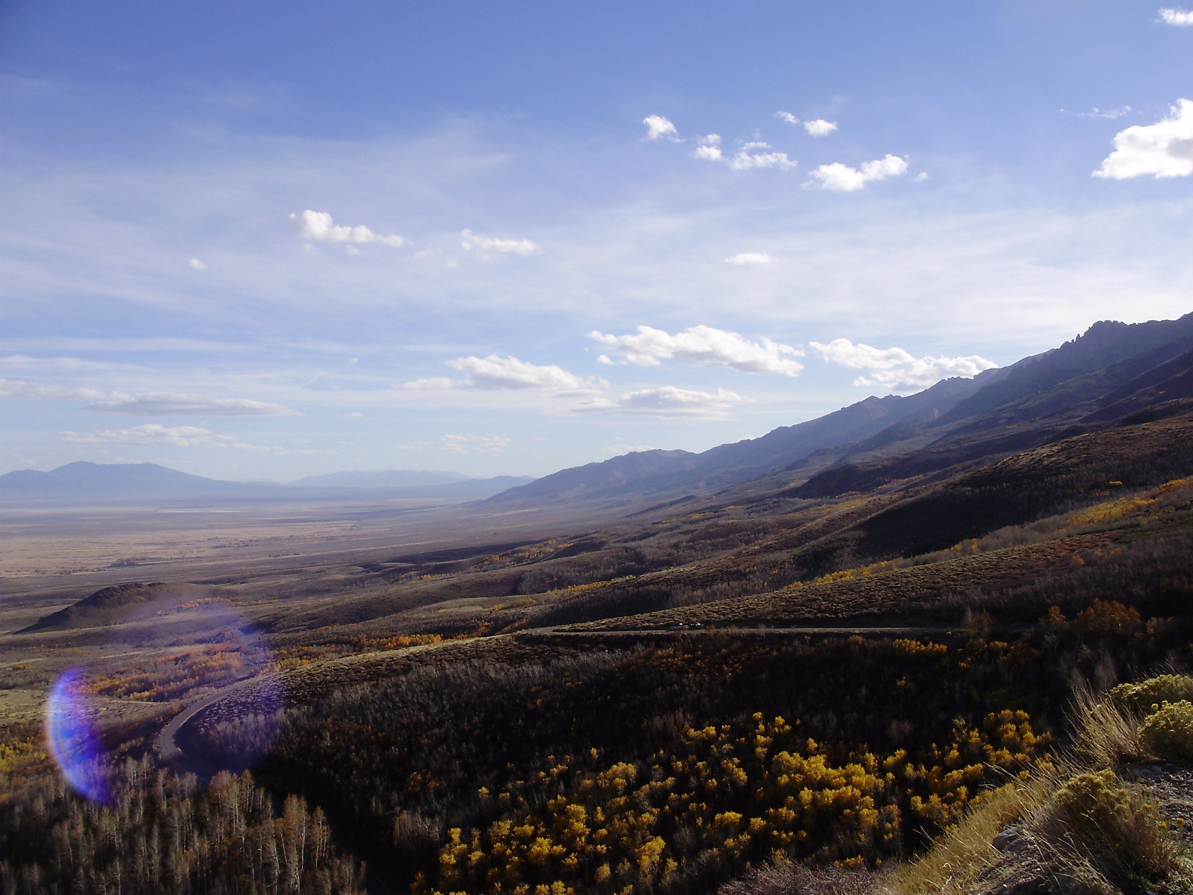
Regional overview
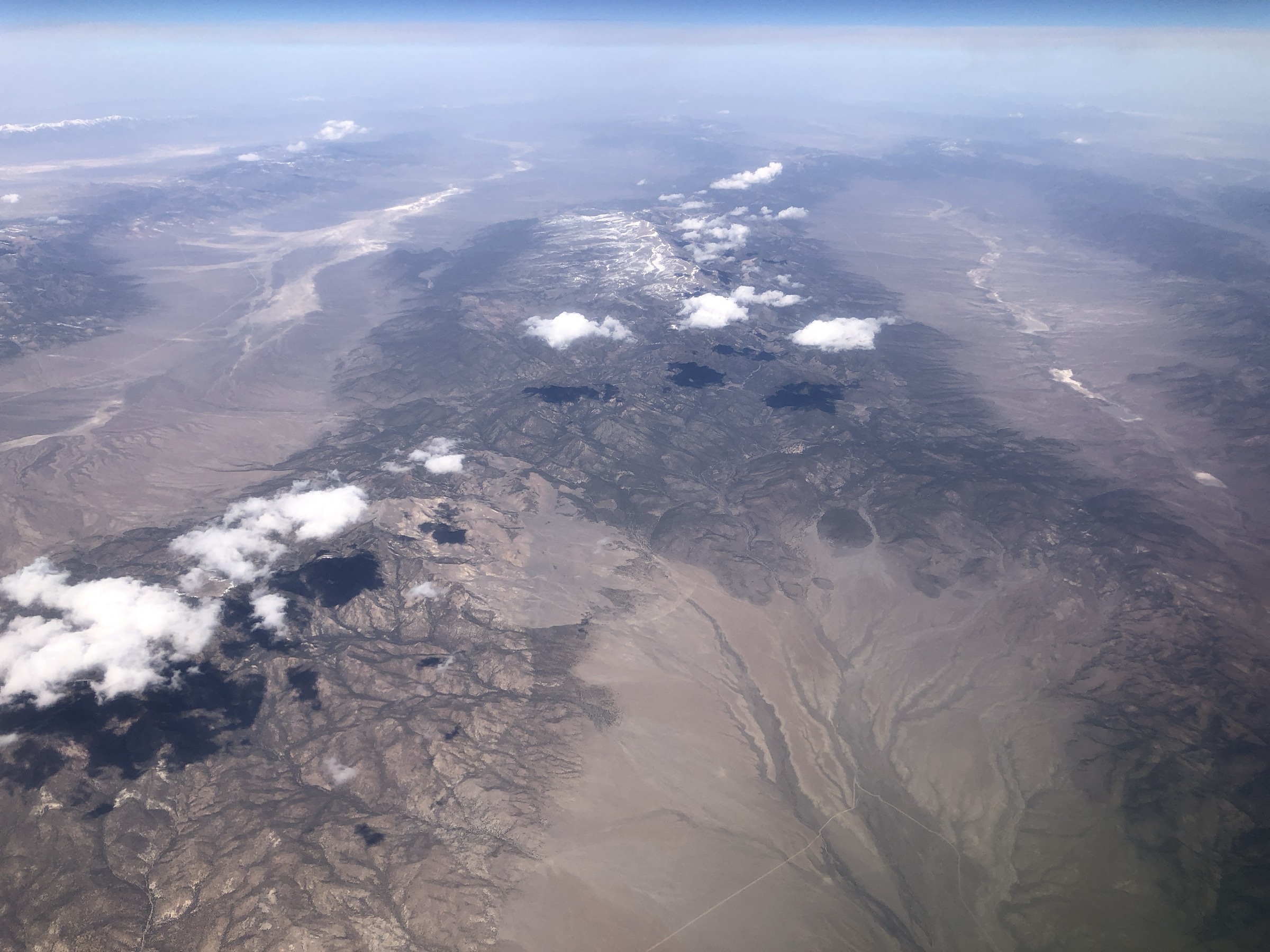
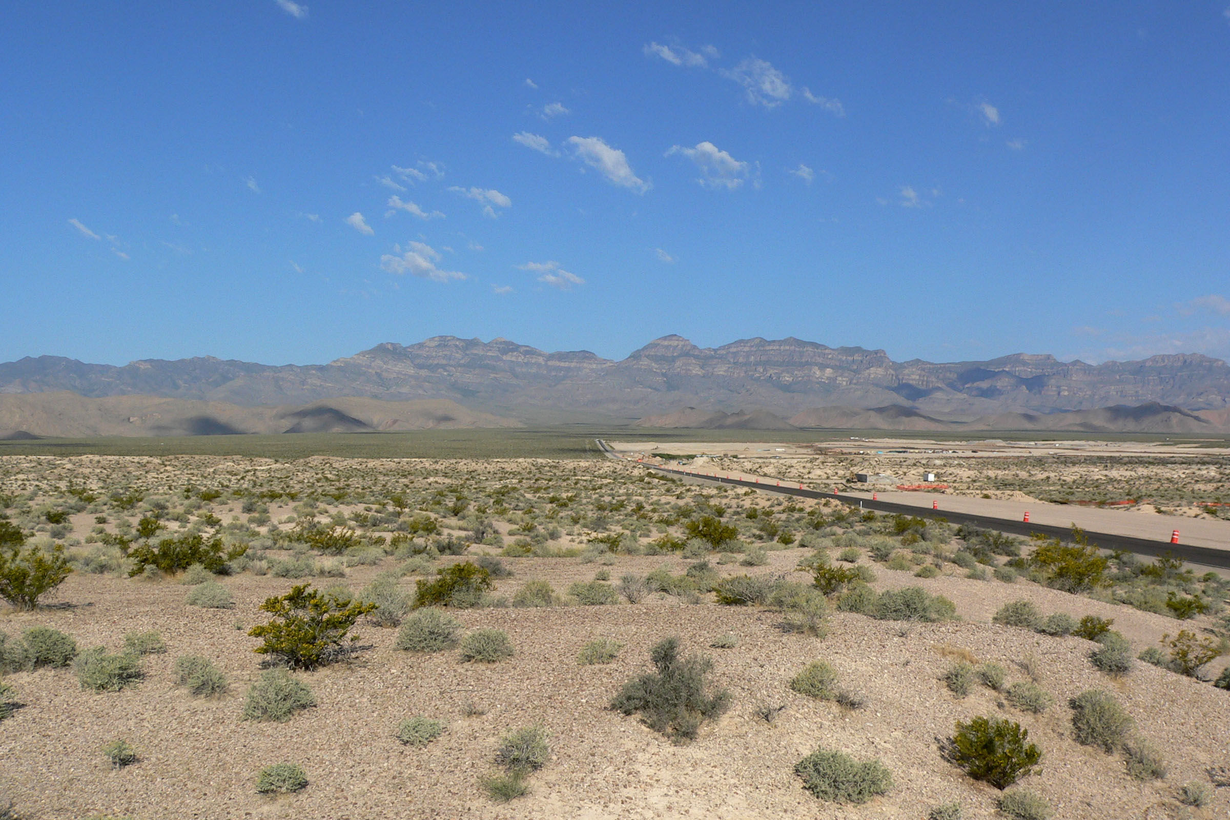
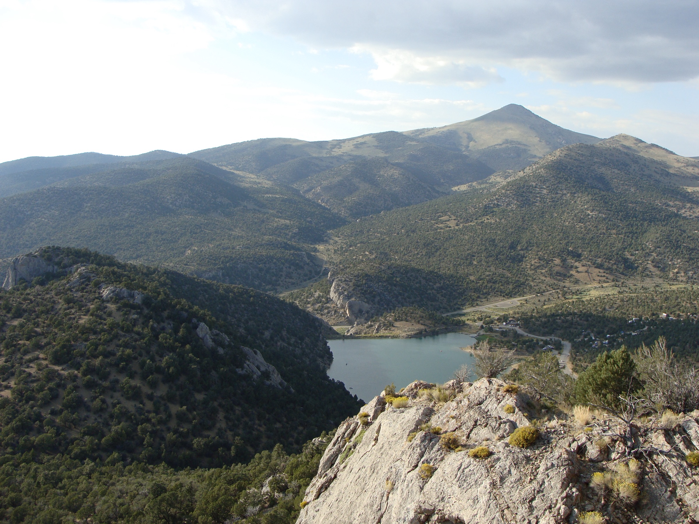
The East Humboldt Range is a steep, glaciated Great Basin range in Elko County, Nevada, southwest of Wells and east of the Ruby Mountains. Its easiest public hiking focus is Angel Lake, reached by the paved NV-231 scenic road from Wells. Angel Lake sits below high cirques and gives access to Smith Lake, Winchell Lake, Greys Peak and longer East Humboldt Wilderness routes. Farther south, the range culminates at Hole in the Mountain Peak, about 11,311 ft / 3,448 m, a more serious off-trail summit area approached from the Clover Valley / Lizzie’s Basin side.
This entry uses Angel Lake as the main verified access hub because current official Humboldt-Toiyabe National Forest pages confirm the campground, picnic site, trailheads, season, elevation and paved access road. The USFS TrailNFS ArcGIS layer provides official geometry for the Smith Lake, Winchell Lake and East Humboldt Highline corridors. Greys Peak and Hole in the Mountain Peak are included because they are defining objectives of the range, but route statistics and exact route files are less complete and are marked unresolved where necessary.
See also: Sheep Range, Nevada · Schell Creek Range, Nevada · Toquima Range, Nevada.
Selection rationale
The five hikes below anchor a verified Angel Lake hub (Smith Lake, Winchell Lake, Greys Peak, a Highline day section) and add the range’s flagship summit, Hole in the Mountain Peak, from the Clover Valley side. Only the Angel Lake access and TrailNFS geometry are strongly documented; Greys Peak and Hole in the Mountain Peak rest on secondary summit sources with route stats still to be resolved before publication.
Summary table
| # | Hike | Start point | Type | Distance | Gain | Max elevation | Difficulty |
|---|---|---|---|---|---|---|---|
| 1 | Angel Lake to Smith Lake | Angel Lake Campground / Smith Lake Trailhead | Out-and-back | ~2.7 km / 1.7 mi round trip | Unresolved | Unresolved | Easy–moderate |
| 2 | Angel Lake to Winchell Lake | Winchell Lake trailhead, SE of Angel Lake Campground | Out-and-back | ~22.9 km / 14.2 mi round trip | Unresolved | Unresolved | Hard |
| 3 | Greys Peak from Angel Lake | Angel Lake Campground / parking area | Primitive out-and-back summit | Unresolved | ~701 m / 2,300 ft | 3,254 m / 10,676 ft (secondary) | Hard |
| 4 | East Humboldt Highline day section | Angel Lake / Smith Lake side; day-section start unresolved | Out-and-back section | ~10–16 km / 6–10 mi (suggested day section) | Unresolved | Unresolved | Moderate–hard |
| 5 | Hole in the Mountain Peak from Lizzie’s Basin | Lizzie’s Basin / Weeks Creek Canyon from Clover Valley | Off-trail summit | Unresolved | Unresolved | 3,448 m / 11,311 ft (secondary) | Hard–very hard |
1. Angel Lake to Smith Lake
Snapshot
Itinerary
From the Angel Lake Campground area, take the Smith Lake Trail into the northern East Humboldts and return the same way. The official campground page states that the Smith Lake Trailhead accesses the northern part of the East Humboldt Range from the campground; the official TrailNFS layer verifies Smith Lake Trail #17023.
Why it is essential
This is the easiest alpine-lake hike from the paved Angel Lake road and the best short introduction to the East Humboldt cirque landscape.
Equipment
- Sturdy footwear
- Water and sun protection
- Warm layer and rain shell
- Offline map
Hazards and notes
- High elevation for visitors arriving from low valleys.
- Thunderstorms and rapid weather changes.
- Snow or ice outside summer.
- Multiple Angel Lake trailheads can be confusing — confirm the Smith Lake sign at the campground.
GPX / route file
| Source | URL | Format | Notes |
|---|---|---|---|
| USFS — Angel Lake Campground | fs.usda.gov | Web page | Official access, campground and Smith Lake Trailhead mention |
| USFS — Angel Lake Picnic Site | fs.usda.gov | Web page | Day-use season, fee and hours |
| USFS TrailNFS — Smith Lake Trail #17023 | apps.fs.usda.gov | GeoJSON | USDA Forest Service data; cite provenance if reused |
Sources
2. Angel Lake to Winchell Lake
Snapshot
Itinerary
From the trailhead southeast of Angel Lake Campground, follow the Winchell Lake Trail south into the East Humboldt high country and return the same way. The official campground page states that a trailhead southeast of the campground heads south to Winchell Lake, and the TrailNFS layer verifies Winchell Lake Trail #17007. A shortcut spur #17007A is also mapped.
Why it is essential
Winchell Lake is one of the classic lake destinations reached from the Angel Lake road and gives a longer, wilder alternative to Smith Lake.
Equipment
- Offline map and GPS with paper map backup
- Water treatment and extra water
- Sun protection
- Warm layers and rain shell
- Headlamp
- Emergency kit
Hazards and notes
- Long, remote day at high altitude.
- Thunderstorm risk.
- Uncertain trail condition on the outer sections.
- Snowfields possible into summer.
- No published elevation profile — plan conservatively.
GPX / route file
| Source | URL | Format | Notes |
|---|---|---|---|
| USFS — Angel Lake Campground | fs.usda.gov | Web page | Winchell Lake trailhead mention |
| USFS TrailNFS — Winchell Lake Trail #17007 | apps.fs.usda.gov | GeoJSON | USDA Forest Service data; cite provenance if reused |
| USFS TrailNFS — Winchell Lake Shortcut #17007A | apps.fs.usda.gov | GeoJSON | Optional connector |
Sources
- USFS — Angel Lake Campground
- USFS TrailNFS — Winchell Lake Trail #17007
- USFS TrailNFS — Winchell Lake Shortcut #17007A
3. Greys Peak from Angel Lake
Snapshot
Itinerary
From the Angel Lake area, follow the primitive Greys Peak route climbing from the east side of the range toward the summit. Secondary geography sources describe Greys Peak as the northernmost East Humboldt summit, rising above Angel Lake and Greys Lake, with a common approach from Angel Lake Campground and roughly 2,300 ft / 701 m of climb from the parking area.
Why it is essential
Greys Peak is the obvious high summit above Angel Lake and one of the most iconic non-technical summit objectives in the northern East Humboldts.
Equipment
- Offline map and GPS with paper map backup
- Sturdy footwear with traction
- Water and sun protection
- Warm layers and rain shell
- Helmet optional if party spacing on loose rock is poor
Hazards and notes
- Primitive route with loose rock and steep slopes.
- Route-finding required on the upper section.
- Altitude, thunderstorms and snowfields outside summer.
GPX / route file
| Source | URL | Format | Notes |
|---|---|---|---|
| USFS — Angel Lake Campground | fs.usda.gov | Web page | Approach hub context |
| Greys Peak — secondary summit source | en.wikipedia.org | Reference page | Summit elevation and approach description |
No official GPX / KML / GeoJSON verified for the summit route in this pass. A new GPS line must be created manually from field survey or public-domain government topo data before publication.
Sources
4. East Humboldt Highline Trail day section
Snapshot
Itinerary
Use an accessible section of the official East Humboldt Highline Trail as a day hike, turning around before the route becomes a full-range traverse. The TrailNFS layer verifies East Humboldt Highline Trail #17026 with about 20.4 mi / 32.9 km of total official geometry, too long for a normal out-and-back day if followed end to end.
Why it is essential
The Highline corridor is the range’s balcony route, representing the East Humboldt Wilderness beyond single lakes and summits.
Equipment
- Offline map and GPS with paper backup
- Water treatment and extra water
- Sun protection
- Warm layers and rain shell
- Headlamp
- Conservative turnaround plan
Hazards and notes
- Long official trail with an unresolved practical day section.
- Route-finding and exposure to storms.
- Limited water certainty.
- Remote terrain — plan bail-outs before starting.
GPX / route file
| Source | URL | Format | Notes |
|---|---|---|---|
| USFS TrailNFS — East Humboldt Highline Trail #17026 | apps.fs.usda.gov | GeoJSON | USDA Forest Service data; clip the selected day section manually from the full trail |
| USFS — Angel Lake Campground | fs.usda.gov | Web page | One legal access hub |
Sources
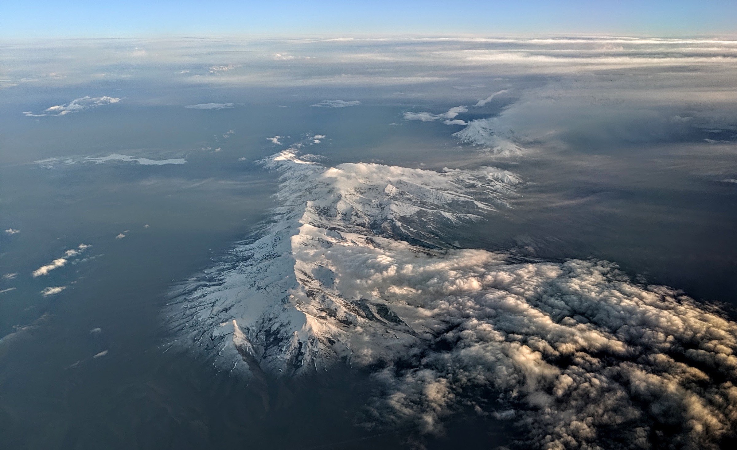
5. Hole in the Mountain Peak and Lizzie’s Window from Lizzie’s Basin
Snapshot
Itinerary
From the Lizzie’s Basin side, climb west toward the summit ridge of Hole in the Mountain Peak, then visit the summit and, only if conditions and route-finding allow, approach Lizzie’s Window from the safer west side. Secondary route descriptions warn that direct access to the window is difficult and dangerous, and that the summit-first approach is the more reasonable line.
Why it is essential
Hole in the Mountain Peak is the high point of the East Humboldt Range and one of the defining summits of the eastern Great Basin.
Equipment
- Offline map and GPS with paper topo backup
- Sturdy mountain footwear
- Helmet considered for loose rock
- Water and sun protection
- Warm layers and rain shell
- Emergency kit
- High-clearance 4WD for the approach if road conditions require it
Hazards and notes
- Off-trail terrain with loose rock and steep avalanche-chute sections.
- Route-finding at altitude, with lightning risk.
- Direct approach to Lizzie’s Window is dangerous — favour the summit line first.
- Remote rescue environment.
GPX / route file
| Source | URL | Format | Notes |
|---|---|---|---|
| Hole in the Mountain Peak — secondary summit source | en.wikipedia.org | Reference page | Summit identity, elevation and route warnings |
| East Humboldt Range — secondary geography source | en.wikipedia.org | Reference page | Range context and access description |
No official GPX / KML / GeoJSON verified for the summit route in this pass. A new GPS line must be created manually from field survey or public-domain government topo data before publication.
Sources
Region-level sources
| Source | URL |
|---|---|
| USFS — Angel Lake Campground | fs.usda.gov |
| USFS — Angel Lake Picnic Site | fs.usda.gov |
| USFS TrailNFS ArcGIS service | apps.fs.usda.gov |
| East Humboldt Range — reference page | en.wikipedia.org |
| Angel Lake, Nevada — reference page | en.wikipedia.org |
| Greys Peak, Nevada — reference page | en.wikipedia.org |
| Hole in the Mountain Peak — reference page | en.wikipedia.org |
| Wikimedia Commons — Angel Lake / NV-231 cover image | commons.wikimedia.org |
| Wikimedia Commons — Hole in the Mountain Peak aerial | commons.wikimedia.org |
| Wikimedia Commons — East Humboldts (G. Thomas, PD) | commons.wikimedia.org |
| Wikimedia Commons — Greys Peak (G. Thomas, PD) | commons.wikimedia.org |
Further reading
- Sheep Range — essential day-hikes — the Desert National Wildlife Refuge core north of Las Vegas
- Schell Creek Range — essential day-hikes — a Great Basin sibling range in east-central Nevada
- Toquima Range — essential day-hikes — the Alta Toquima Wilderness in central Nevada
Missing data / follow-up work
- Elevation gain / loss and maximum elevations are unresolved for four of the five hikes; only Greys Peak has a published approximate gain figure.
- Greys Peak and Hole in the Mountain Peak have no official route pages or GPX / KML / GeoJSON; a publication-ready line must be created from field survey or public-domain topo data.
- East Humboldt Highline day section — the full official corridor (~20.4 mi / 32.9 km) is too long for a day; the reusable day section still needs a defined trailhead and turnaround.
- Route-specific photos for the G. Thomas East Humboldts image (1367 × 600 px), the G. Thomas Greys Peak image (923 × 600 px), and the Famartin Hole-in-the-Mountain view from NV-232 (1638 × 1068 px) fall below the article’s 2,400 px source floor and are not shipped; all remain listed under region-level sources.
- Trailhead coordinates for the Winchell Lake and Hole in the Mountain approaches need field or map confirmation before publication.