Regional overview
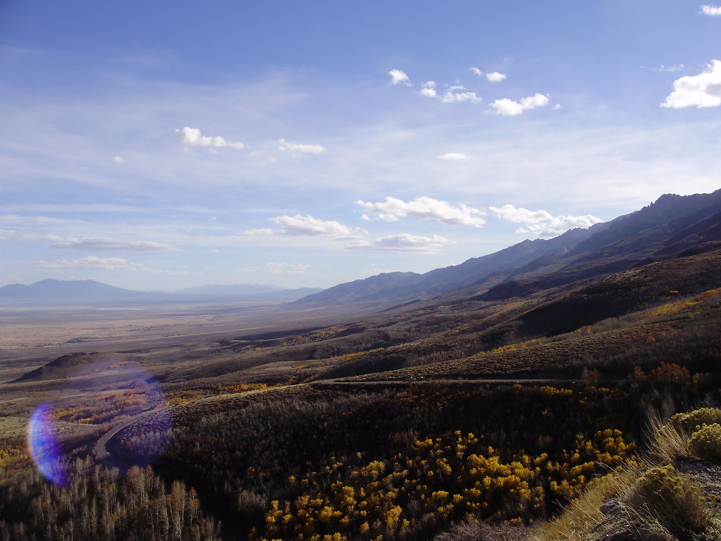
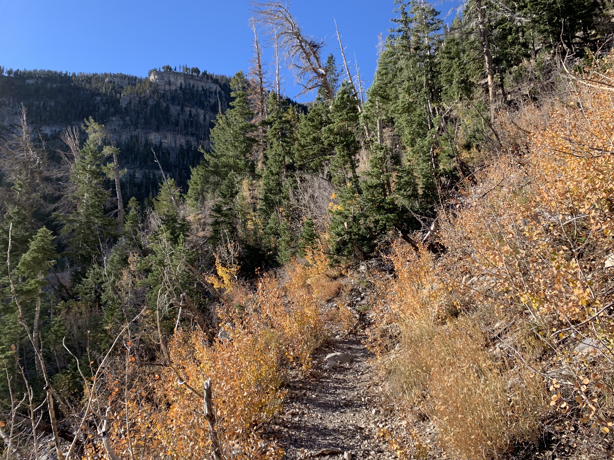
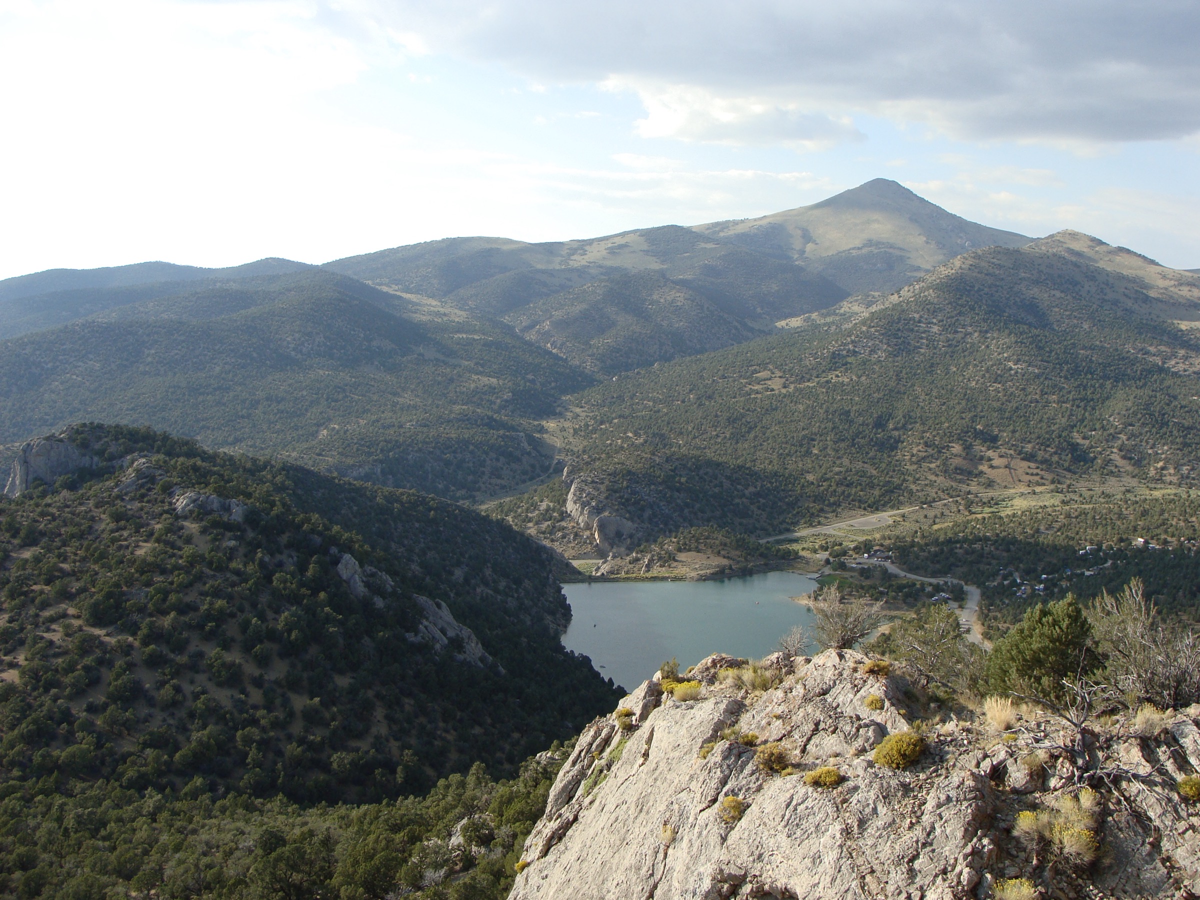
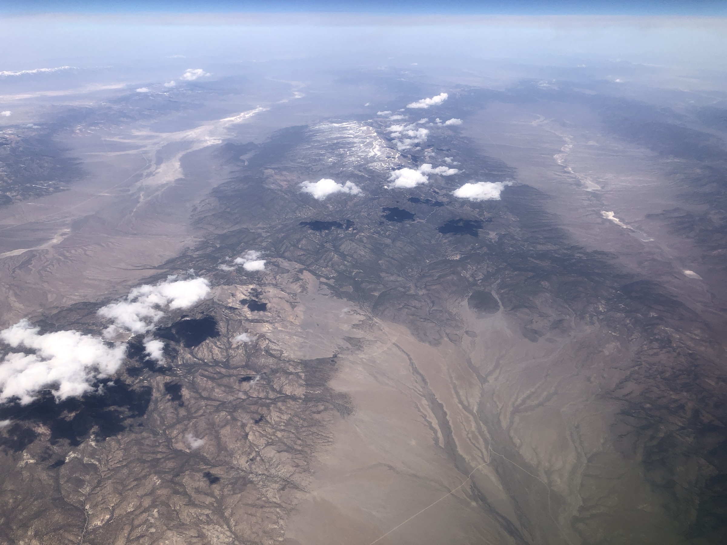
The Monitor Range is a remote north-south Great Basin range in central Nevada whose best-known hiking core is the Table Mountain Wilderness. The hiking character is very different from the busy trail systems near Las Vegas or the Ruby Mountains: long dirt-road approaches, high sagebrush basins, aspen pockets, perennial creek corridors, broad volcanic uplands, elk and mule-deer country, and sparse public route descriptions. Table Mountain rises to about 10,649 ft / 3,246 m, and the wilderness is administered by the Humboldt-Toiyabe National Forest through the Austin-Tonopah Ranger District.
This entry treats the Monitor Range as a map-and-navigation region. Barley Creek has an official Forest Service trail page; the other selections are verified primarily through the official USDA Forest Service TrailNFS GIS layer and secondary protected-area descriptions. Exact elevation gain, loss, current tread condition and trailhead coordinates are often unresolved and should be field-checked locally before departure.
For neighbouring Nevada ranges in the same broader taxonomy, see the sister catalogues on the Spring Mountains, the Schell Creek Range and the Toquima Range.
See also: Spring Mountains, Nevada · Schell Creek Range, Nevada · Toquima Range, Nevada.
Selection rationale
The five hikes cover the best-documented open corridors of the Table Mountain Wilderness: the well-described Barley Creek approach, two more remote creek routes (Mosquito Creek and Clear Creek), a shorter canyon (South Green Monster) and a manageable day section of the long Table Mountain Skyline Trail. Barley Creek is the only route with a narrative official Forest Service page; the others are verified via the USDA Forest Service TrailNFS GIS layer for trail name, number and geometry length. Elevation profiles, tread condition and exact trailhead coordinates should be treated as unresolved and confirmed with the Austin-Tonopah Ranger District before travel.
Summary
| # | Hike | Trailhead | Route type | Distance | Gain | Max elevation | Difficulty |
|---|---|---|---|---|---|---|---|
| 1 | Barley Creek Trail | Barley Creek Trailhead / Campground | Out-and-back creek valley | ~24.5 km round trip | Unresolved | Unresolved | Hard |
| 2 | Mosquito Creek Trail | Mosquito Creek access (unresolved) | Out-and-back creek valley | ~23.5 km round trip | Unresolved | Unresolved | Hard |
| 3 | Clear Creek Trail | Clear Creek access (unresolved) | Out-and-back creek / canyon | ~15.2 km round trip | Unresolved | Unresolved | Moderate–hard |
| 4 | South Green Monster Canyon Trail | South Green Monster access (unresolved) | Out-and-back canyon | ~12.0 km round trip | Unresolved | Unresolved | Moderate |
| 5 | Table Mountain Skyline (day section) | Skyline Trail access (unresolved) | Out-and-back high plateau | 10–16 km, day section only | Unresolved | Table Mountain 3,246 m | Moderate–hard |
1. Barley Creek Trail
Snapshot
Itinerary
Follow the official Barley Creek Trail north along Barley Creek through the Table Mountain Wilderness. The Forest Service page places the start at the Barley Creek Trailhead / Campground, describes travel north along Barley Creek, and ends at the junction with Cottonwood Creek 2 Trail, with connections to South Fork Mosquito Creek Trail and Tipover Trail.
Why it is essential
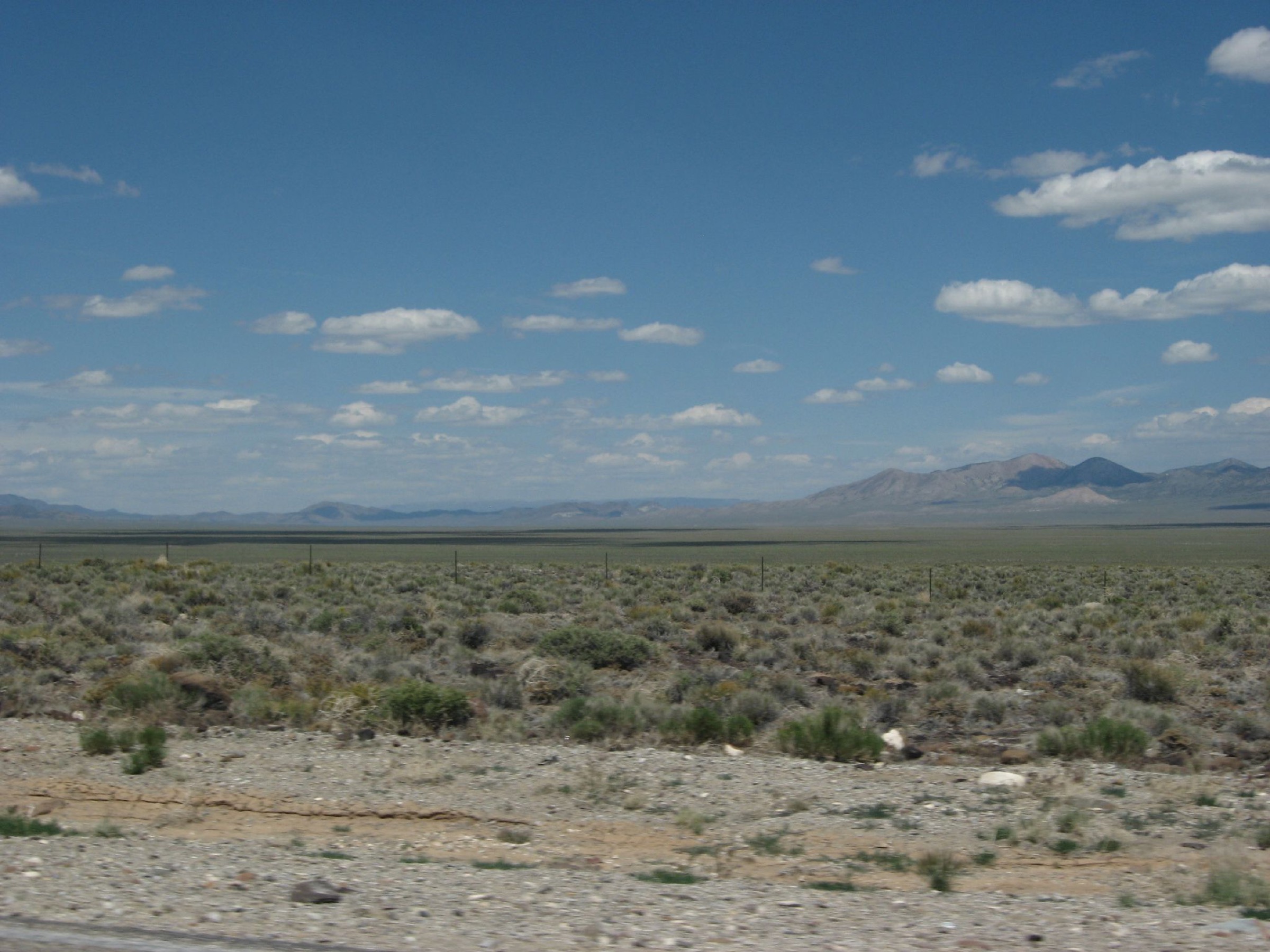
Barley Creek is the best-documented and most clearly official day-hike corridor in the Table Mountain Wilderness, representing the Monitor Range’s creek, meadow and high-wilderness character.
Equipment
- Offline map and GPS
- Paper map backup
- Water treatment and extra water
- Sun protection
- Sturdy footwear
- Layers and rain shell
- Emergency kit
- High-clearance vehicle recommended for the approach
Hazards and notes
- Remote trailhead and sparse signage.
- Stream crossings or wet meadow sections possible.
- Route-finding required in places.
- Limited rescue access and cell signal.
- Thunderstorms in summer.
- No verified public water reliability beyond named creeks.
GPX / route file
| Source | URL | Format | Notes |
|---|---|---|---|
| USFS — Barley Creek Trail | fs.usda.gov | Web page | Official route description, start and endpoint |
| USFS TrailNFS — Barley Creek Trail #24038 | apps.fs.usda.gov | GeoJSON | USDA Forest Service data; cite provenance if reused |
Sources
- USFS — Barley Creek Trail
- USFS TrailNFS — Barley Creek Trail #24038
- Wikipedia — Table Mountain Wilderness
2. Mosquito Creek Trail
Snapshot
Itinerary
Follow the official Mosquito Creek Trail corridor into the Table Mountain Wilderness and return the same way. The USFS TrailNFS layer verifies Mosquito Creek Trail #24041 in the Austin-Tonopah Ranger District with about 7.3 mi / 11.7 km of one-way trail geometry.
Why it is essential
Mosquito Creek is one of the named wilderness approaches into the Table Mountain high country and balances Barley Creek with another major drainage route.
Equipment
- Offline map and GPS
- Paper map backup
- Water treatment and extra water
- Layers and rain shell
- Sun protection
- Sturdy footwear
- Emergency kit
Hazards and notes
- Remote access with possible faint tread.
- Stream crossings or wet ground.
- Limited rescue access.
- No published elevation profile found.
- Thunderstorms and hunting-season activity in shoulder months.
GPX / route file
| Source | URL | Format | Notes |
|---|---|---|---|
| USFS TrailNFS — Mosquito Creek Trail #24041 | apps.fs.usda.gov | GeoJSON | USDA Forest Service data; cite provenance if reused. No narrative USFS trail page found in this pass |
Sources
3. Clear Creek Trail
Snapshot
Itinerary
Follow the official Clear Creek Trail corridor into the Table Mountain Wilderness and return the same way. The USFS TrailNFS layer verifies Clear Creek Trail #24049 with about 4.7 mi / 7.6 km of one-way trail geometry.
Why it is essential
Clear Creek is a shorter official wilderness corridor that represents the Monitor Range’s stream-cut canyon and meadow routes while staying within a more typical day-hike distance than some longer Table Mountain trails.
Equipment
- Offline map and GPS
- Water treatment and extra water
- Sun protection
- Layers and rain shell
- Sturdy footwear
- Emergency kit
Hazards and notes
- Remote trailhead with uncertain tread condition.
- Creek crossings or wet meadows possible.
- No published elevation profile found.
- Weather can change quickly on the high plateau above.
GPX / route file
| Source | URL | Format | Notes |
|---|---|---|---|
| USFS TrailNFS — Clear Creek Trail #24049 | apps.fs.usda.gov | GeoJSON | USDA Forest Service data; cite provenance if reused. No narrative USFS trail page found in this pass |
Sources
4. South Green Monster Canyon Trail
Snapshot
Itinerary
Follow the official South Green Monster Trail corridor into the canyon and return the same way. The USFS TrailNFS layer verifies South Green Monster Trail #24053 with about 3.7 mi / 6.0 km of one-way official trail geometry.
Why it is essential
South Green Monster Canyon adds a named canyon hike to the Monitor Range selection and gives a shorter, more contained day than the long creek approaches.
Equipment
- Offline map and GPS
- Water and sun protection
- Sturdy footwear
- Layers and rain shell
- Emergency kit
Hazards and notes
- Canyon navigation with possible washouts.
- Flash-flood risk during and after thunderstorms.
- Remote access with no published condition source.
- No verified elevation profile.
GPX / route file
| Source | URL | Format | Notes |
|---|---|---|---|
| USFS TrailNFS — South Green Monster Trail #24053 | apps.fs.usda.gov | GeoJSON | USDA Forest Service data; cite provenance if reused. No narrative USFS trail page found in this pass |
Sources
5. Table Mountain Skyline Trail — day section
Snapshot
Itinerary
Use a reachable section of the official Table Mountain Skyline Trail as a day hike, turning around before the route becomes a multi-hour traverse. The USFS TrailNFS layer verifies Table Mountain Skyline Trail #24039 with about 13.8 mi / 22.2 km of official one-way trail geometry, which is too long for a normal out-and-back day if followed end to end.
Why it is essential
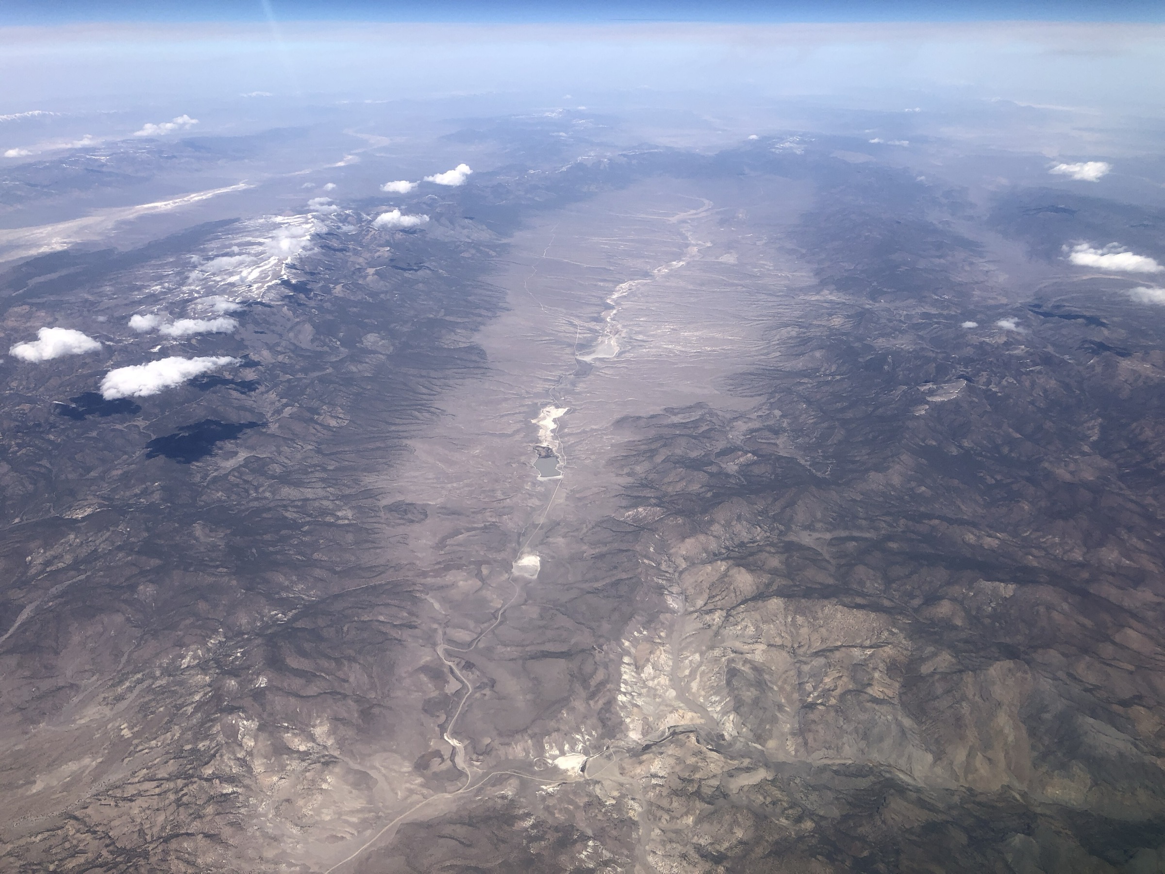
The skyline / plateau terrain is the signature landscape of the Table Mountain Wilderness and gives the Monitor Range its high-country identity beyond the creek approaches.
Equipment
- Offline map and GPS
- Paper map backup
- Water treatment and extra water
- Sun protection
- Wind and rain layers
- Emergency kit
- Conservative turnaround time
Hazards and notes
- Long official trail with uncertain day-hike access point.
- Route-finding and lack of published profile.
- Limited water on the plateau.
- Lightning exposure on open high ground.
- Snow and mud can extend the closed season at both ends.
GPX / route file
| Source | URL | Format | Notes |
|---|---|---|---|
| USFS TrailNFS — Table Mountain Skyline Trail #24039 | apps.fs.usda.gov | GeoJSON | USDA Forest Service data; day section must be clipped manually from the full corridor |
| USFS TrailNFS — Little Table Mountain Spring Trail #24107 (optional nearby) | apps.fs.usda.gov | GeoJSON | Optional connector for planning; cite USDA Forest Service |
Sources
- USFS TrailNFS — Table Mountain Skyline Trail #24039
- USFS TrailNFS — Little Table Mountain Spring Trail #24107
- Wikipedia — Table Mountain (Nye County, Nevada)
Region-level sources
| Source | URL |
|---|---|
| USFS — Barley Creek Trail, Humboldt-Toiyabe NF | fs.usda.gov |
| USFS TrailNFS ArcGIS service | apps.fs.usda.gov |
| Wikipedia — Table Mountain Wilderness | en.wikipedia.org |
| Wikipedia — Monitor Range | en.wikipedia.org |
| Wikipedia — Table Mountain (Nye County, Nevada) | en.wikipedia.org |
| Wikimedia Commons — aerial view of the Monitor Range | commons.wikimedia.org |
Further reading
- Spring Mountains — essential day-hikes — the busier southern Nevada Desert Ranges catalogue near Las Vegas
- Schell Creek Range — essential day-hikes — the east-central Nevada Great Basin range with the High Schells Wilderness and Cave Lake State Park
- Toquima Range — essential day-hikes — the neighbouring Great Basin range immediately west of the Monitor Range
Missing data / follow-up work
- No official narrative page was found for Mosquito Creek, Clear Creek, South Green Monster or Table Mountain Skyline in this pass; USFS TrailNFS GeoJSON is the primary verified source and can be reused with citation, subject to final terms confirmation.
- Elevation gain / loss and maximum elevation are unresolved for all five hikes; only Table Mountain’s broader high-country elevation (about 3,246 m / 10,649 ft) is confirmed via secondary geographic sources.
- Exact trailhead coordinates need field or map confirmation, especially for Mosquito Creek, Clear Creek, South Green Monster and the Skyline day-section access.
- Distance discrepancy between the USFS Barley Creek page (7.6 mi one way) and the TrailNFS geometry (~8.7 mi one way) is unresolved and should be reconciled before shipping a GPX.
- Route-specific photos were not sourced in licence-compatible form; only a general aerial view of the range is used as the cover.