Regional overview
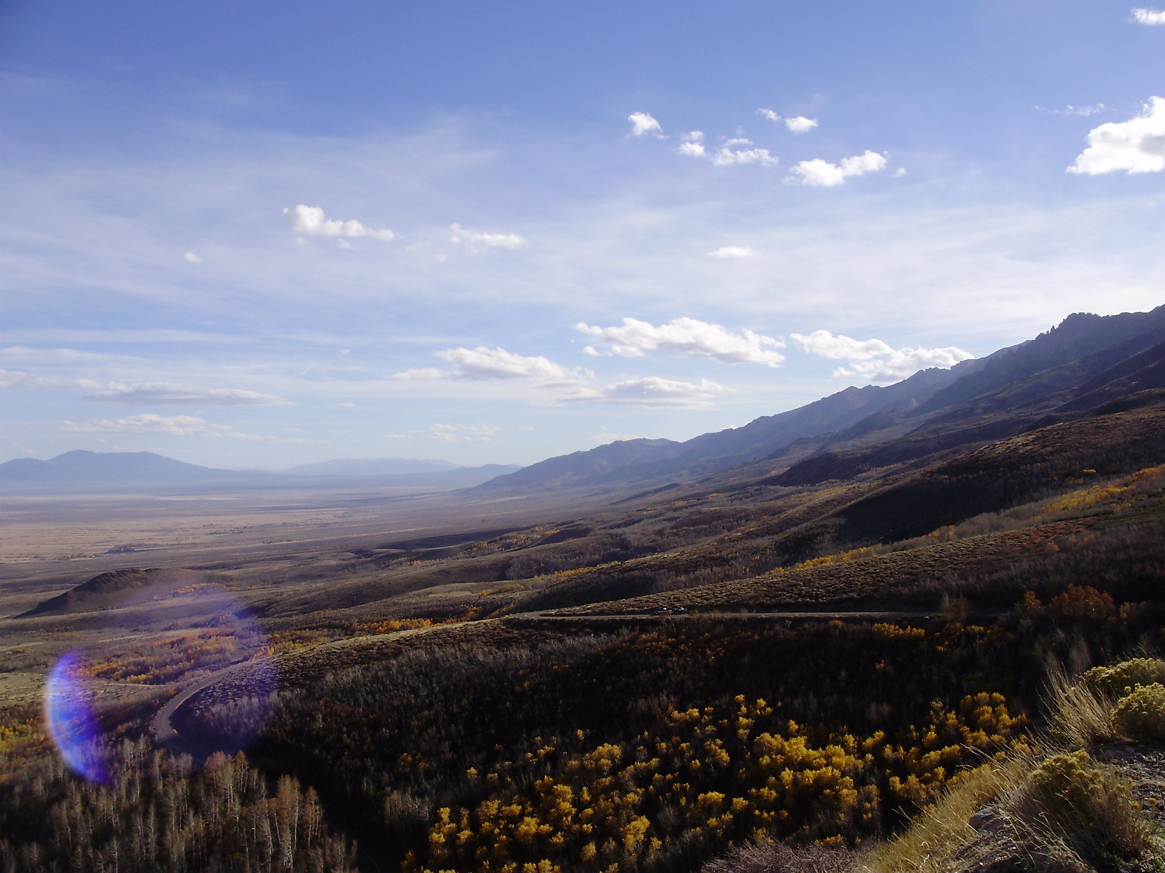
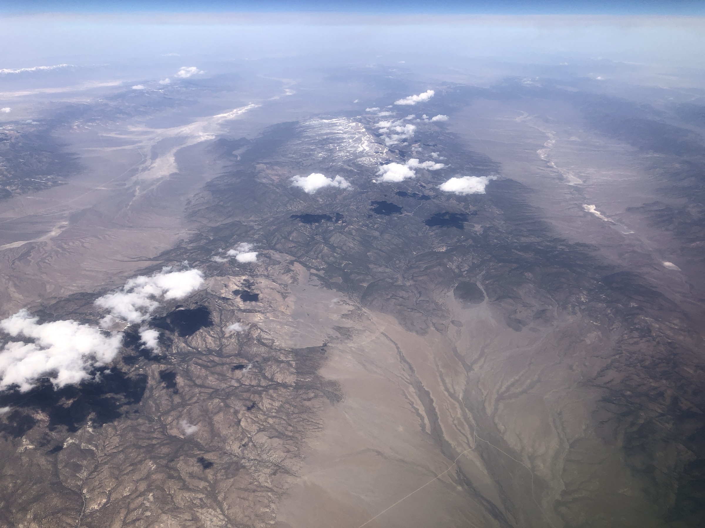
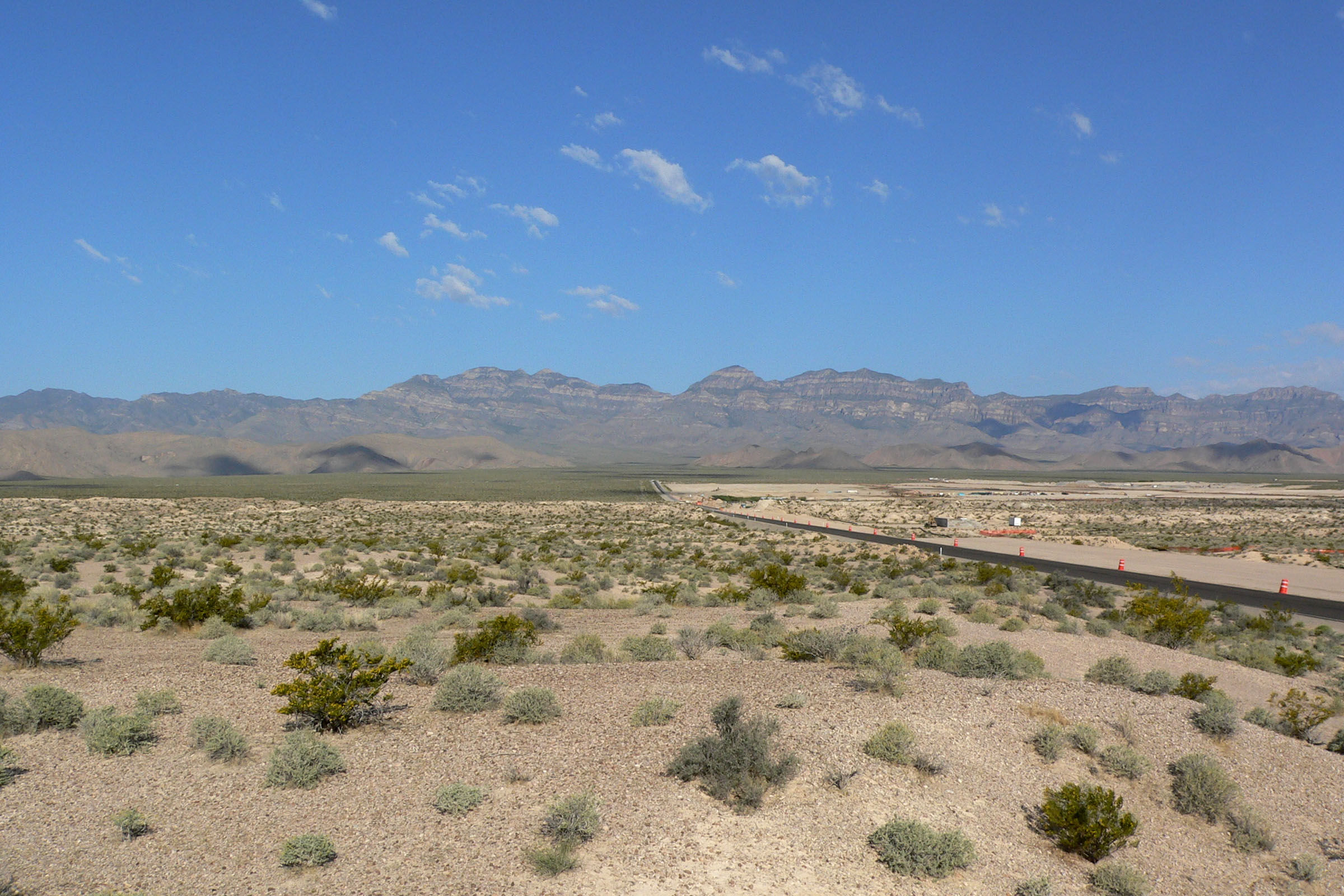
The Sheep Range is the high desert mountain core of the Desert National Wildlife Refuge north of Las Vegas. The refuge is managed by the U.S. Fish and Wildlife Service, was established to protect desert bighorn sheep habitat, and is described by FWS as the largest national wildlife refuge outside Alaska and the largest intact desert bighorn habitat in the Mojave Desert. Hayford Peak reaches about 9,912 ft / 3,021 m and is the high point of both the Sheep Range and the refuge.
This is not a conventional trail-centred hiking region. The official FWS trail page lists a handful of short Corn Creek trails and one long rugged backcountry trail to Hidden Forest; other Sheep Range objectives rely on washes, old roads, route-finding, and high-clearance dirt-road access. Current FWS road conditions dated 1 July 2026 list Alamo Road open but warn that many spur-road conditions are unknown, high clearance is advised or required in the backcountry, cell and radio service is very limited, OHVs are prohibited, and all vehicles must stay on designated roads. Summer hiking is not advised on the rugged routes.
See also: Schell Creek Range, Nevada · Toquima Range, Nevada.
Selection rationale
The five selected hikes represent the Sheep Range honestly: the Hidden Forest cabin route, the Hayford Peak high-point extension, the lower Joe May Canyon wildlife-water route, the Sheep Peak off-trail summit route, and the Corn Creek trail system that introduces the range’s bighorn, geology, spring, and cultural history. Only Hidden Forest and Corn Creek have strong official route descriptions. Hayford Peak, Sheep Peak, and Joe May Canyon require more independent navigation and are marked accordingly.
Summary table
| # | Hike | Start point | Type | Distance | Gain | Max elevation | Difficulty |
|---|---|---|---|---|---|---|---|
| 1 | Hidden Forest Cabin and Wiregrass Spring | Hidden Forest Trailhead / Deadman Canyon | Out-and-back | 15.1–16.7 km / 9.4–10.4 mi | 618 m / 2,027 ft | 2,394 m / 7,854 ft | Hard |
| 2 | Hayford Peak via Hidden Forest | Hidden Forest Trailhead / Deadman Canyon | Out-and-back summit | 24.0 km / 14.9 mi | 1,298 m / 4,258 ft | 3,016–3,021 m / 9,895–9,912 ft | Hard / strenuous |
| 3 | Sheep Peak via Pine Nut or Cow Camp approach | Pine Nut Camp or Cow Camp Road access | Off-trail out-and-back | ~9.7–12.9 km / 6–8 mi | ~760–884 m / 2,500–2,900 ft | ~2,972 m / 9,750 ft | Hard |
| 4 | Joe May Canyon Guzzler | Joe May Road / canyon mouth | Wash out-and-back | ~5.6–6.3 km / 3.5–3.9 mi | ~213 m / 700 ft | ~1,752 m / 5,748 ft | Moderate–hard |
| 5 | Corn Creek Nature and Cultural Loops | Corn Creek Visitor Center | Connected short loops | ~2.3–2.4 km / 1.4–1.5 mi | 20 m / 65 ft | ~900 m / 2,950 ft | Easy |
1. Hidden Forest Cabin and Wiregrass Spring
Snapshot
Itinerary
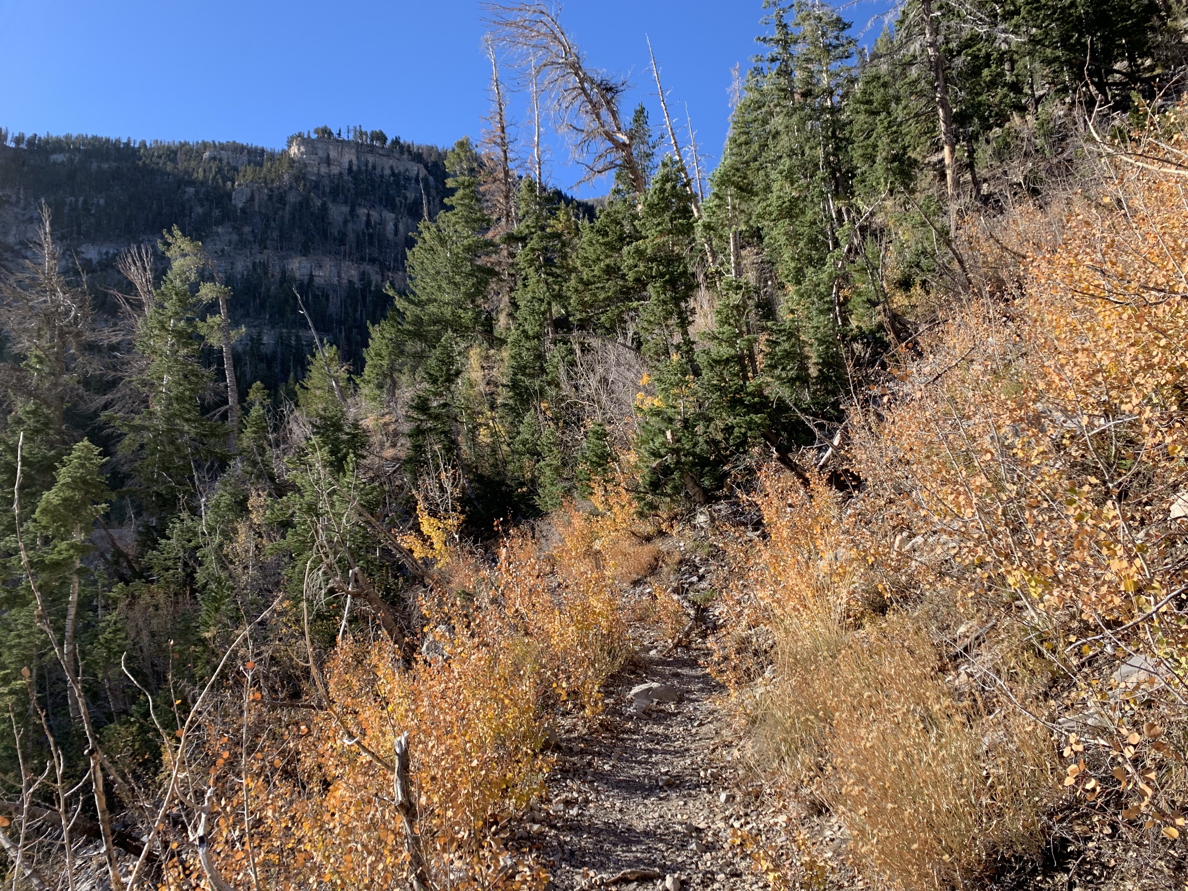
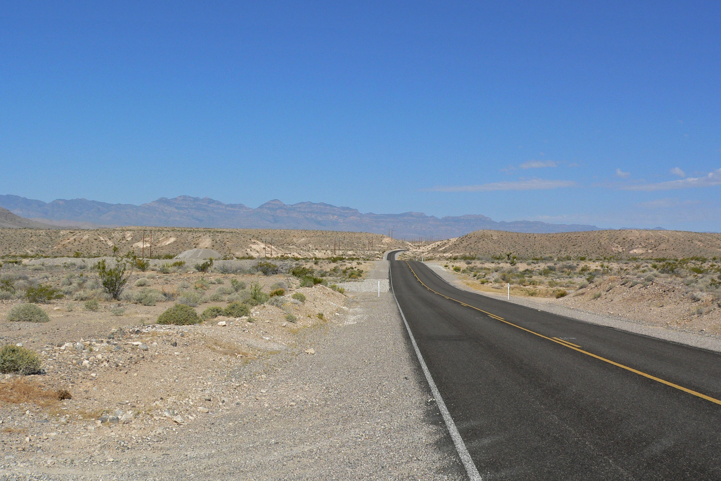
From the end of Hidden Forest Road, follow Deadman Canyon up the wash and old roadbed. FWS notes that the first ponderosa pines appear at about 3.7 mi and that the cabin is at about 5.6 mi. The route passes from Joshua tree and desert wash into pinyon-juniper, then ponderosa pine, white fir and small aspen groves. Return by the same canyon.
Why it is essential
Hidden Forest is the signature Sheep Range hike: a dramatic life-zone climb from desert into an unexpectedly cool forest with a historic cabin and one of the refuge’s few reliable water sources.
Equipment
- High-clearance / 4WD access plan
- Map and GPS
- Desert survival kit
- 3–4 L water minimum even if the spring is reported flowing, plus water treatment
- Sun protection
- Sturdy boots
- Trekking poles
- Emergency communication device
Hazards and notes
- Loose gravel wash, unstable footing, confusing old-road / wash splits.
- Flash-flood risk in the canyon.
- Sparse shade on the lower section.
- Variable spring flow — do not assume Wiregrass Spring is reliable.
- Remote road access with very limited cell and radio service.
GPX / route file
| Source | URL | Format | Notes |
|---|---|---|---|
| FWS — Desert NWR trails | fws.gov | Official route page | Official distance, difficulty, time and route description; no downloadable GPX exposed |
| FWS — Discover the Hidden Forest Cabin | fws.gov | Official story with route-map image | Access, itinerary, cabin history and Hayford extension context; map image reuse not separately checked |
| AllTrails — Hidden Forest Trail | alltrails.com | Source route map | Distance, gain, max elevation, time and route type verified; GPX export not publicly retrieved, do not reuse proprietary geometry without checking terms |
Sources
- FWS — Desert National Wildlife Refuge trails
- FWS — Discover the Hidden Forest Cabin
- FWS — Current conditions
- AllTrails — Hidden Forest Trail
2. Hayford Peak via Hidden Forest
Snapshot
Itinerary
Follow the Hidden Forest Trail to the cabin and forested basin. From there, continue on the steep upper route toward Hayford Peak, the highest point in the Sheep Range. FWS describes the cabin-to-summit continuation as a steep two-mile ascent. Return by the same line.
Why it is essential
Hayford Peak is the high point of the Sheep Range and the Desert National Wildlife Refuge, making it the range’s natural flagship summit for very fit, self-sufficient hikers.
Equipment
- Full Hidden Forest kit plus alpine-desert summit layers
- Navigation backup and emergency beacon
- Extra water
- Wind shell, gloves and hat
- Headlamp
- Trekking poles
- Snow and ice equipment when conditions require
Hazards and notes
- Long remote day with thousands of feet of gain.
- Loose footing and off-trail navigation beyond the cabin area.
- High wind, lightning, and rapidly changing weather.
- Unreliable water at Wiregrass Spring.
- Rescue limitations — self-sufficiency is essential.
GPX / route file
| Source | URL | Format | Notes |
|---|---|---|---|
| FWS — Discover the Hidden Forest Cabin | fws.gov | Official story / map context | Confirms cabin approach and steep two-mile Hayford ascent |
| AllTrails — Hayford Peak | alltrails.com | Source route map | Distance, gain, max elevation, route type, time, season and difficulty verified; do not reuse proprietary geometry without checking terms |
| Desert Peaks Section — Hayford Peak historical report | desertpeaks.org | Historical route account | Historical context only; modern route details should not rely on this alone |
Sources
- FWS — Discover the Hidden Forest Cabin
- FWS — Current conditions
- AllTrails — Hayford Peak
- Desert Peaks Section — Hayford Peak historical report
3. Sheep Peak via Pine Nut or Cow Camp approach
Snapshot
Itinerary
SummitPost describes Sheep Peak as an infrequently climbed major Sheep Range summit with practical approaches from Pine Nut Camp, Cow Camp Road, or from Hidden Forest Cabin. The route is not a constructed trail and should be planned from current maps, refuge road status and conservative on-ground conditions.
Why it is essential
Sheep Peak is one of the named high summits of the range and adds a true off-trail desert-mountain summit objective distinct from the Hayford / Hidden Forest corridor.
Equipment
- Full navigation kit with offline maps and pre-planned GPS track
- Desert survival kit
- 4WD / high-clearance vehicle plan
- Emergency beacon
- Water beyond usual desert margins
- Sun protection
- Wind and rain layer
- Sturdy boots and trekking poles
Hazards and notes
- No engineered trail — route-finding required.
- Remote access on refuge dirt roads with uncertain condition.
- Loose limestone and dry falls or canyon complexity depending on approach.
- Limited rescue options.
- Include only for experienced desert-mountain hikers.
GPX / route file
| Source | URL | Format | Notes |
|---|---|---|---|
| SummitPost — Sheep Peak | summitpost.org | Source route page | Elevation, route options, access notes and approximate distance / gain verified; no downloadable GPX |
| FWS — Current conditions | fws.gov | Official access / road-status page | Backcountry road warnings and Pine Nut Road unknown condition |
Sources
4. Joe May Canyon Guzzler
Snapshot
Itinerary
From the Joe May Road canyon-mouth parking area, follow the main wash up Joe May Canyon toward the guzzler / drinker area. BirdandHike notes that the route is not a constructed trail but the main wash gives straightforward access. Return the same way, leaving wildlife and water infrastructure undisturbed.
Why it is essential
Joe May Canyon is one of the most accessible Sheep Range canyon routes and shows the refuge’s bighorn-water, limestone, wash and lower desert-mountain character without requiring the long Hidden Forest approach.
Equipment
- Map and GPS
- Water for a rough desert day
- Sun protection
- Sturdy footwear
- Emergency kit
- High-clearance road plan
- Binoculars if wildlife watching
Hazards and notes
- Loose gravel and flash-flood wash character.
- Route-finding at canyon forks.
- Remote road access with no services.
- Wildlife water-source sensitivity — keep distance from guzzlers and any bighorn present.
GPX / route file
| Source | URL | Format | Notes |
|---|---|---|---|
| FWS — Hiking at Desert NWR | fws.gov | Official activity page | FWS names Joe May Canyon as a popular backcountry hike; no route file |
| BirdandHike — Joe May Canyon Guzzler | birdandhike.com | Route page with waypoint / GPX link | Distance, trailhead area, waypoint elevations and route character verified; do not reuse text or photos without permission |
| BirdandHike — Joe May route map | birdandhike.com | Source map | Do not reuse map without permission |
Sources
- FWS — Hiking at Desert National Wildlife Refuge
- BirdandHike — Joe May Canyon Guzzler
- Natural Atlas — Joe May Canyon Trail
5. Corn Creek Nature and Cultural Loops
Snapshot
Itinerary
Link the signed Corn Creek loops from the visitor center: Bighorn Loop for open desert and Sheep Range geology views, Birdsong Loop for mesquite and phragmites birding, Coyote Loop for the pond, orchard and refugium and the railroad-tie cabin spur, Jackrabbit Loop for the spring source, and Whispering Ben Trail for Southern Paiute cultural interpretation.
Why it is essential
These short loops are the best official introduction to the Sheep Range landscape, bighorn history, Corn Creek water, Pahrump poolfish habitat and Nuwuvi / Southern Paiute cultural presence before entering the remote backcountry.
Equipment
- Walking shoes
- Water and sun protection
- Binoculars and camera
- Stay on signed paths near cultural resources and habitat
Hazards and notes
- Heat and sun exposure.
- Sensitive spring habitat and cultural artefacts — do not stand or sit on the limestone mortar noted by FWS.
- Wildlife disturbance risk near water features.
GPX / route file
| Source | URL | Format | Notes |
|---|---|---|---|
| FWS — Desert NWR trails | fws.gov | Official route descriptions | Bighorn, Birdsong, Coyote, Jackrabbit and Whispering Ben trail descriptions verified; no downloadable GPX |
| FWS — Bighorn Loop map | fws.gov | Official source map | Source-map reference only |
| FWS — Coyote Loop map | fws.gov | Official source map | Source-map reference only |
| AllTrails — Corn Creek Nature Trail | alltrails.com | Source route map | Distance, gain, time, route type, difficulty and accessibility features verified |
Sources
- FWS — Desert National Wildlife Refuge trails
- FWS — Desert National Wildlife Refuge overview
- FWS — Current conditions
- AllTrails — Corn Creek Nature Trail
Region-level sources
| Source | URL |
|---|---|
| FWS — Desert National Wildlife Refuge | fws.gov |
| FWS — Desert NWR trails | fws.gov |
| FWS — Hiking at Desert NWR | fws.gov |
| FWS — Current conditions | fws.gov |
| FWS — Discover the Hidden Forest Cabin | fws.gov |
| AllTrails — Hidden Forest Trail | alltrails.com |
| AllTrails — Hayford Peak | alltrails.com |
| AllTrails — Corn Creek Nature Trail | alltrails.com |
| SummitPost — Sheep Peak | summitpost.org |
| BirdandHike — Joe May Canyon Guzzler | birdandhike.com |
| Natural Atlas — Joe May Canyon Trail | naturalatlas.com |
| Desert Peaks Section — Hayford Peak historical report | desertpeaks.org |
| Wikimedia Commons — Sheep Range from Starvation Flat | commons.wikimedia.org |
| Wikimedia Commons — Sheep Range from Route 168 | commons.wikimedia.org |
| Wikimedia Commons — Hidden Forest Cabin | commons.wikimedia.org |
Further reading
- Schell Creek Range — essential day-hikes — a Great Basin sibling range in east-central Nevada
- Toquima Range — essential day-hikes — the Alta Toquima Wilderness high country in central Nevada
Missing data / follow-up work
- No downloadable GPX / KML retrieved for any of the five routes; official FWS trail pages describe corridors but do not expose reusable geometry.
- Hidden Forest distance discrepancy between the FWS trail page (9.41 mi / 15.1 km) and AllTrails (10.4 mi / 16.7 km) needs field or map confirmation.
- Hidden Forest time discrepancy between the FWS trail page (12 hr) and AllTrails average (5.5–6 hr) is significant; the 6–9 hr estimate is guidebook-style rather than officially confirmed.
- Sheep Peak distance, gain and time are drawn from SummitPost only; no official route page or GPX exists.
- Joe May Canyon waypoints, distance and elevations are from BirdandHike only; FWS mentions the canyon as popular but does not publish route stats.
- Route-specific photos for Hidden Forest Cabin (Wikimedia, 576 × 436 px) and the Desert Environment / Corn Creek FWS image (1050 × 788 px) fall below the article’s 2,400 px source floor and are not shipped; both remain listed via source URLs.
- Backcountry road conditions on Alamo Road, Hidden Forest Road, Pine Nut Road and Cow Camp Road are volatile — always check current FWS road status before departure.