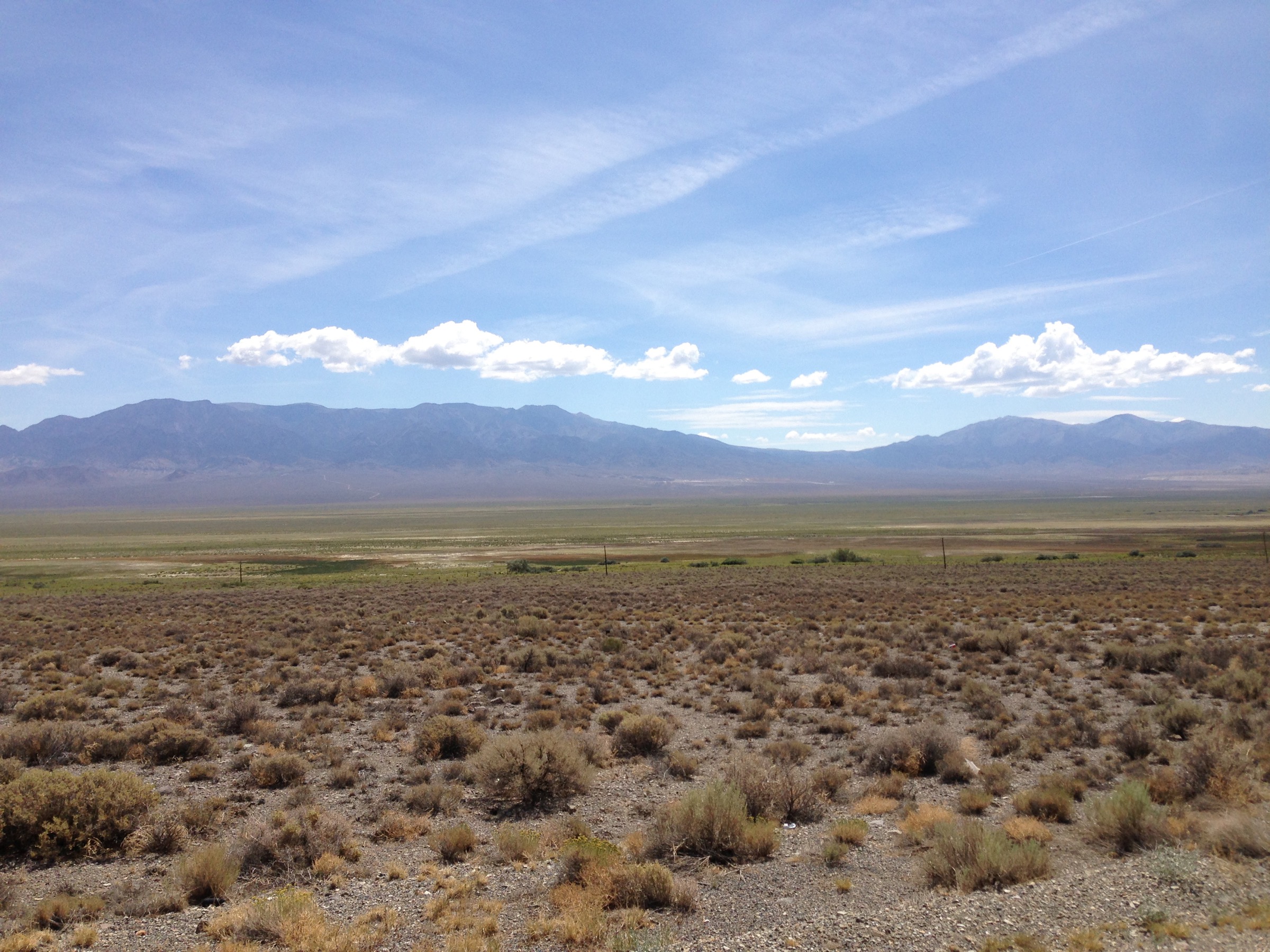
Regional overview
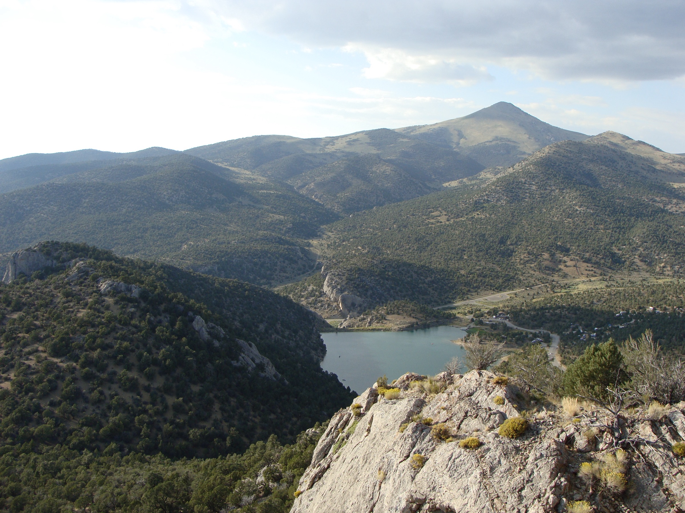
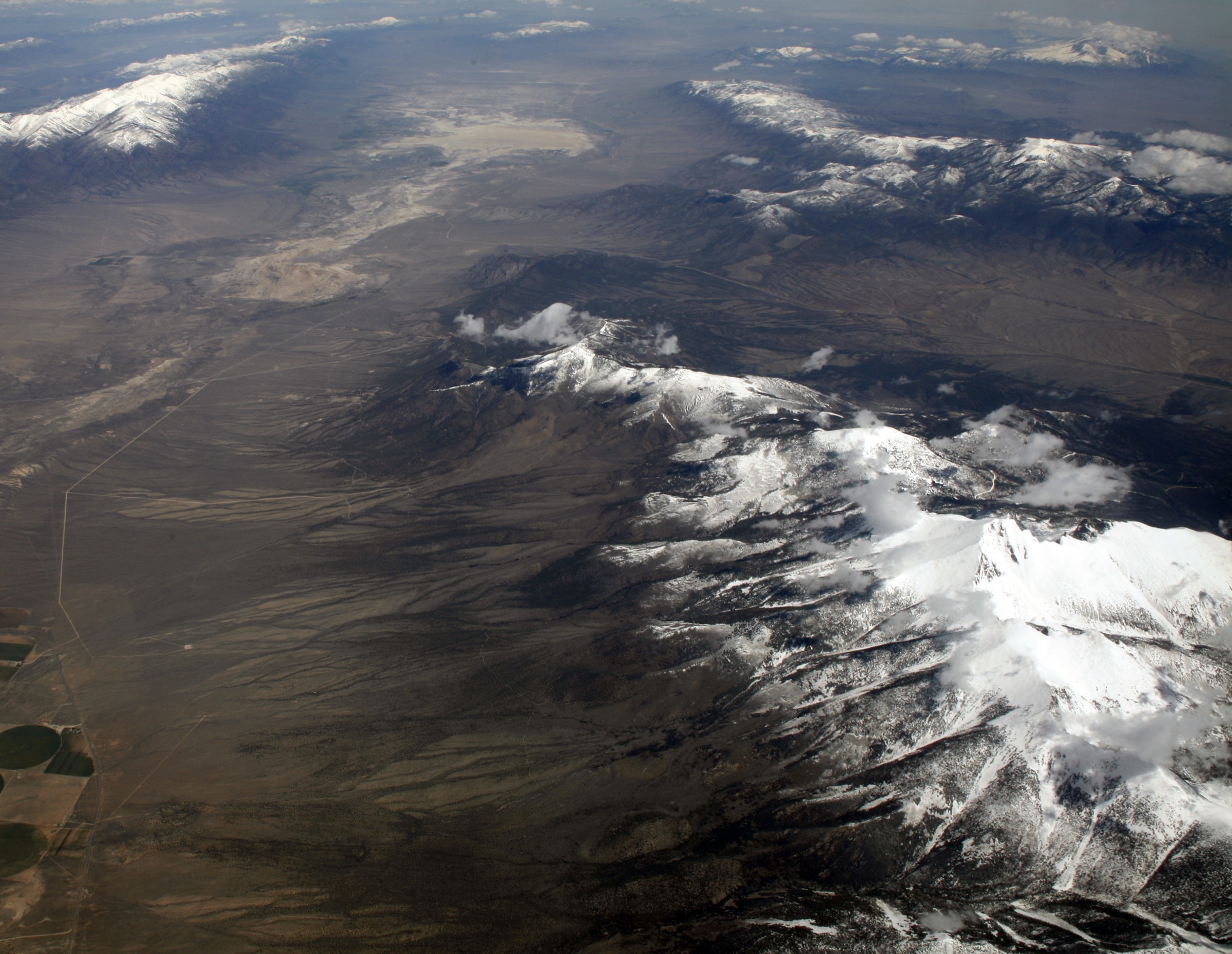
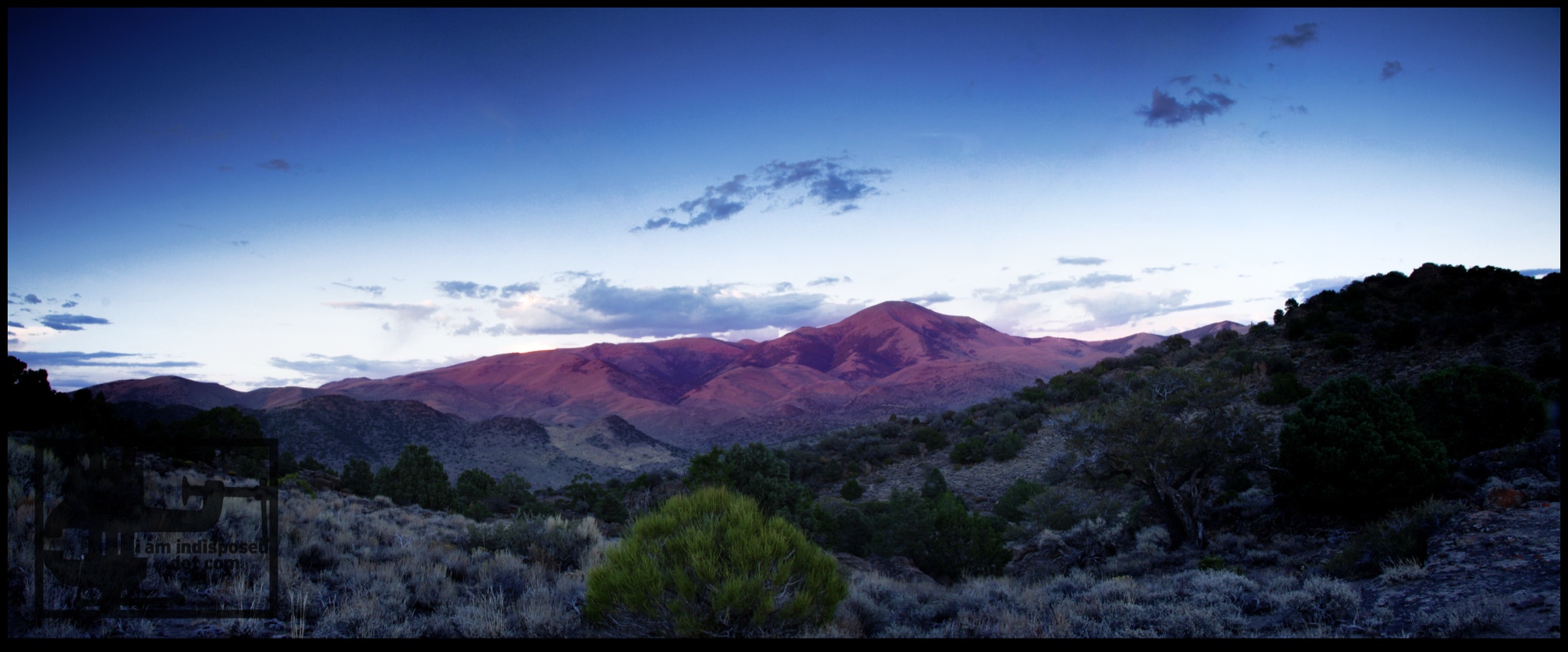
The Toquima Range is a remote central Nevada Basin-and-Range mountain chain, sitting west of Monitor Valley and east of Big Smoky Valley. The core hiking interest is the Alta Toquima Wilderness and the Mount Jefferson high country, where official Humboldt-Toiyabe National Forest trails climb from dry forest roads and canyon mouths to subalpine basins, high ridges, and the three Mount Jefferson summits. The official Mount Jefferson Trail page lists North Summit at 3,601 m / 11,814 ft, Middle Summit at 3,562 m / 11,686 ft, and South Summit at 3,637 m / 11,932 ft.
This catalogue leans hard on the official USDA Forest Service trail pages for descriptions, access notes, wilderness restrictions, and published mileage, with the Forest Service TrailNFS ArcGIS layer as the source-map link for each corridor. Elevation gain, elevation loss, and exact trailhead coordinates are not published for several of the official trails, so those fields are marked unresolved rather than estimated as facts.
See also: Schell Creek Range, Nevada · Wasatch Plateau, Utah.
Selection rationale
The five hikes below are the best verified official day-hike set found for the Toquima Range: one long crest traverse on Mount Jefferson, one east-side canyon approach, one pass connector, one creek-side wilderness-boundary route, and one shorter basin approach from Corcoran Canyon. All five are official Humboldt-Toiyabe National Forest trails in or around the Alta Toquima Wilderness trail network.
Summary table
| # | Hike | Type | Verified distance | Highest point | Difficulty |
|---|---|---|---|---|---|
| 1 | Mount Jefferson Trail | Point-to-point crest traverse (shuttle) | 24.8 km / 15.4 mi one way | South Summit area, 3,637 m / 11,932 ft (USFS) | Strenuous |
| 2 | Pine Creek Trail | Out-and-back canyon-to-crest | 17.1 km / 10.6 mi return | Unresolved (junction near South Summit) | Moderate–hard |
| 3 | Windy Pass Trail | Out-and-back pass connector | 15.1 km / 9.4 mi return | Unresolved | Moderate–hard |
| 4 | Trail Canyon Creek Trail | Out-and-back creek / wilderness boundary | 12.2 km / 7.6 mi return | Unresolved | Moderate |
| 5 | Andrews Basin Trail | Short out-and-back basin approach | 6.8 km / 4.2 mi return | Unresolved | Easy–moderate |
Essential day-hikes
1. Mount Jefferson Trail
Snapshot
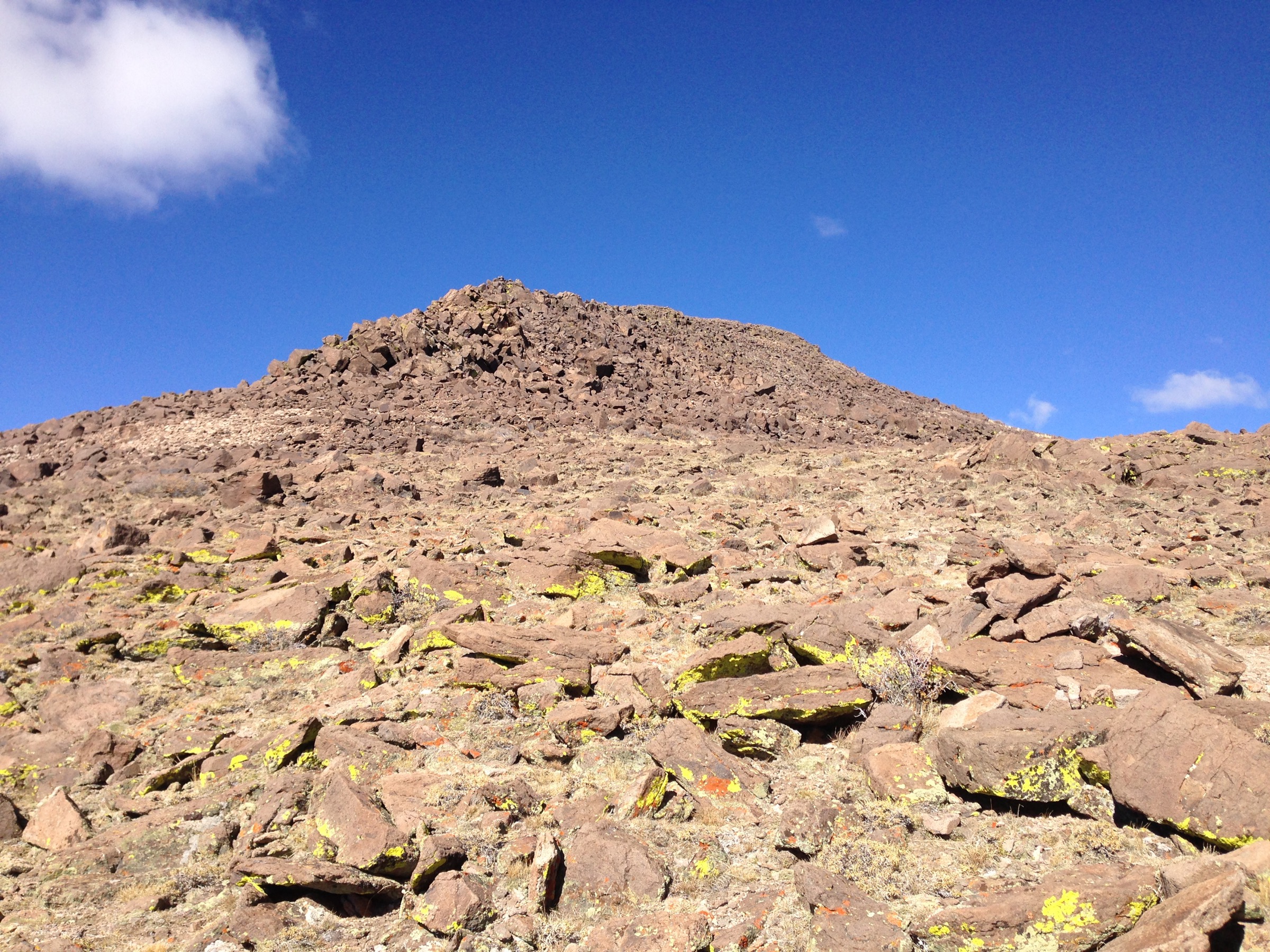
Itinerary. Follow the official Mount Jefferson Trail through the centre of the Alta Toquima Wilderness. The Forest Service describes the route as climbing up Moores Creek, passing below the North Summit (3,601 m / 11,814 ft), continuing along the ridge to the Middle Summit (3,562 m / 11,686 ft), passing the Pine Creek Trail and Windy Pass Trail junctions near the South Summit (3,637 m / 11,932 ft), then continuing south to Jefferson Summit on Forest Road 44010.
Why it is essential. This is the signature high-country route in the Toquima Range and the only verified official trail that links the Mount Jefferson summit ridge with multiple Alta Toquima trail junctions.
Equipment. Offline map / GPS, printed backup map, headlamp, sun protection, warm layers, rain shell, extra water, emergency bivy layer, high-clearance road-access plan, wilderness-ready navigation.
Hazards and notes. High elevation, long distance, exposed ridge weather, lightning, remoteness, limited water, possible snow. Within Alta Toquima Wilderness, motorized vehicles and equipment, bicycles / mountain bikes, and wheeled or mechanized transport are prohibited. No public transport verified — private vehicle and shuttle logistics required.
GPX / route file. Official USFS TrailNFS GeoJSON for Mount Jefferson Trail #24030 is queryable directly and appears reusable as public agency data with citation (cite USDA Forest Service / Humboldt-Toiyabe National Forest):
Sources. Mount Jefferson Trail; Jefferson Summit Trailhead.
2. Pine Creek Trail
Snapshot
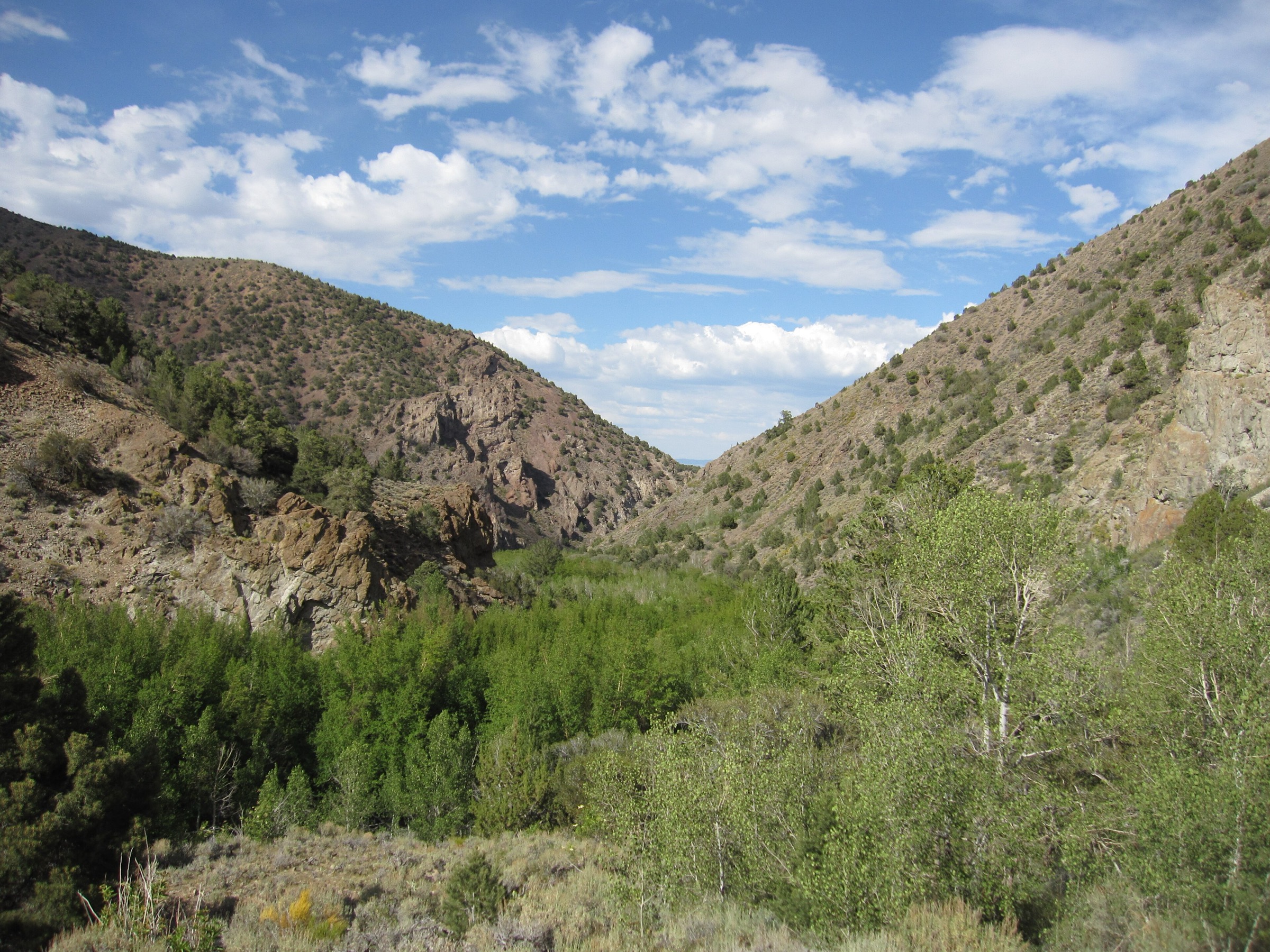
Itinerary. Start at Pine Creek Trailhead on the east side of the Toquima Range. The Forest Service describes the trail as beginning outside wilderness, entering the Alta Toquima Wilderness after about 0.8 km / 0.5 mi, following scenic Pine Creek canyons, and ending at the Mount Jefferson Trail junction north of South Summit.
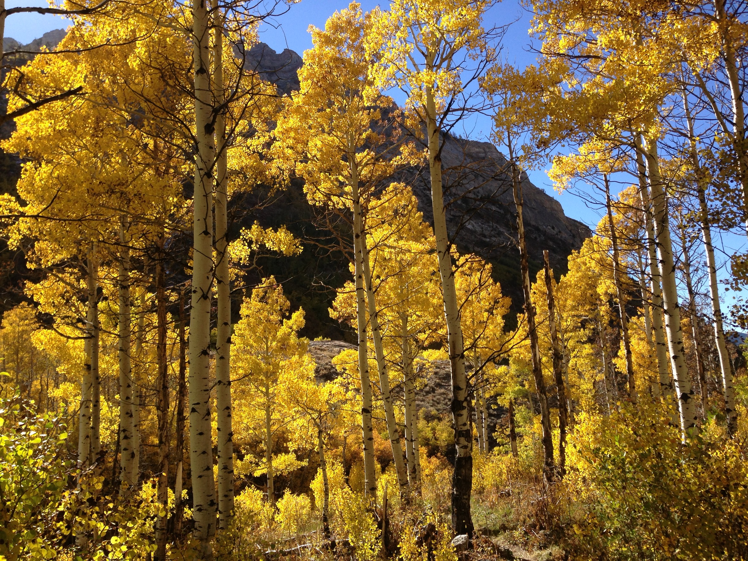
Why it is essential. Pine Creek is the clearest verified east-side day approach into the Alta Toquima high country, with canyon scenery, aspens, water, and a direct connection to the Mount Jefferson Trail.
Equipment. Offline map / GPS, water treatment if using natural water, sun protection, rain shell, warm layer, sturdy footwear.
Hazards and notes. Remote canyon travel, changing high-country weather, possible streamside mud or downed timber, wilderness restrictions after the first half mile. Trailhead has vault toilets but no potable water. No public transport verified.
GPX / route file. USFS TrailNFS — Pine Creek Trail #24031 (GeoJSON) — cite USDA Forest Service / Humboldt-Toiyabe National Forest.
Sources. Pine Creek Trail; Pine Creek Trailhead.
3. Windy Pass Trail
Snapshot
Itinerary. Follow the official Windy Pass Trail from the Lone Pine Spring Road side through the Meadow Canyon area. The Forest Service describes the trail as connecting Lone Pine Spring Road with the Andrews Basin Trail and Trail Canyon Creek Trail, and as giving access toward the same-named Windy Pass Trail #24104 into Alta Toquima Wilderness.
Why it is essential. Windy Pass is the key verified connector linking the eastern Meadow Canyon side with the Andrews Basin / Trail Canyon Creek trail network.
Equipment. Offline map / GPS, water, sun protection, wind and rain layer, sturdy footwear.
Hazards and notes. Remote pass travel, possible faint tread at junctions, limited water certainty, lightning and wind exposure. Wilderness restrictions apply if continuing into Alta Toquima Wilderness. No public transport verified; high-clearance vehicle may be prudent.
GPX / route file. USFS TrailNFS — Windy Pass Trail #24206 (GeoJSON) — cite USDA Forest Service / Humboldt-Toiyabe National Forest.
Sources. Windy Pass Trail.
4. Trail Canyon Creek Trail
Snapshot
Itinerary. Follow the official Trail Canyon Creek Trail along Trail Canyon Creek. The Forest Service describes the trail as generally following the southeast boundary of the Alta Toquima Wilderness and intersecting both Windy Pass Trail #24206 and Andrews Basin Trail #24111.
Why it is essential. This is the verified creek-side route that ties the southeastern edge of Alta Toquima Wilderness to the Windy Pass and Andrews Basin network.
Equipment. Offline map / GPS, water or water treatment, sun protection, layers, sturdy footwear.
Hazards and notes. Exact start coordinate unresolved, creek-canyon navigation, possible streamside obstacles, remote terrain, wilderness restrictions where applicable. No public transport verified.
GPX / route file. USFS TrailNFS — Trail Canyon Creek Trail #24103 (GeoJSON) — cite USDA Forest Service / Humboldt-Toiyabe National Forest.
Sources. Trail Canyon Creek Trail.
5. Andrews Basin Trail
Snapshot
Itinerary. Follow the official Andrews Basin Trail from the Corcoran Canyon Road end. The Forest Service describes the trail as following Corcoran Creek to Trail Canyon Creek, then ending at the junction with Trail Canyon Creek Trail #24103 and Windy Pass Trail #24206.
Why it is essential. Andrews Basin is the shortest verified official Toquima day hike in this set and gives access to the same southeastern Alta Toquima trail network without committing to the longer Windy Pass or Trail Canyon Creek routes.
Equipment. Offline map / GPS, water, sun protection, layers, sturdy footwear.
Hazards and notes. Remote access, possible rough road, creekside travel, unresolved elevation profile. No public transport verified; high-clearance vehicle may be prudent depending on Corcoran Canyon Road condition.
GPX / route file. USFS TrailNFS — Andrews Basin Trail #24111 (GeoJSON) — cite USDA Forest Service / Humboldt-Toiyabe National Forest.
Sources. Andrews Basin Trail.
Routes considered but excluded as out of scope
- Multi-day Alta Toquima Wilderness loops linking Mount Jefferson, Pine Creek, Windy Pass, and Trail Canyon Creek. More natural as backpacking routes than as day hikes.
- Off-trail Mount Jefferson ridge scrambles connecting all three summits. A separate mountaineering-style objective outside the day-hike remit.
- Non-Forest-Service user routes. No unofficial trail without a canonical USFS entry was included; only official Humboldt-Toiyabe routes appear above.
Further reading
- Humboldt-Toiyabe National Forest — hiking overview — the umbrella hiking page for the forest.
- USFS TrailNFS ArcGIS service — canonical trail-geometry endpoint used for the GeoJSON queries above.
- Sister catalogue: USA — Boulder Mountain, Utah for the Utah High Plateaus side of the same regional grouping.
- Sister catalogue: USA — Northern Wasatch, Utah for the Wasatch side of the same regional grouping.
Missing data and follow-up work
- Elevation gain, elevation loss, and maximum elevation are unresolved for four of the five routes — the Forest Service pages do not publish gain/loss profiles for these trails.
- Exact trailhead coordinates are unresolved for the Mount Jefferson Trail north access and for the Trail Canyon Creek Trail start; only Jefferson Summit and Pine Creek trailheads have published coordinates.
- The Mount Jefferson South Summit elevation may vary slightly between the USFS route text (11,932 ft) and independent summit-elevation sources; a primary topographic source should be checked before publication.
- Licence-compatible route-specific photos are still needed for all five trails. Only one wide range shot (Famartin, CC BY-SA 4.0, from Nevada State Route 376) was verified above the 2,000 px floor; the MtJeffersonNV public-domain candidate came in at 958 × 600 and was rejected.
- Road status on Forest Roads 44010, 44208, and 44445 should be checked locally before travel — high-clearance access is likely required.
- First article in the “Great Basin Ranges” sub-region for the site; further Toiyabe, Monitor, Snake, and Ruby-range catalogues should follow to fill out the regional grouping.