Regional overview
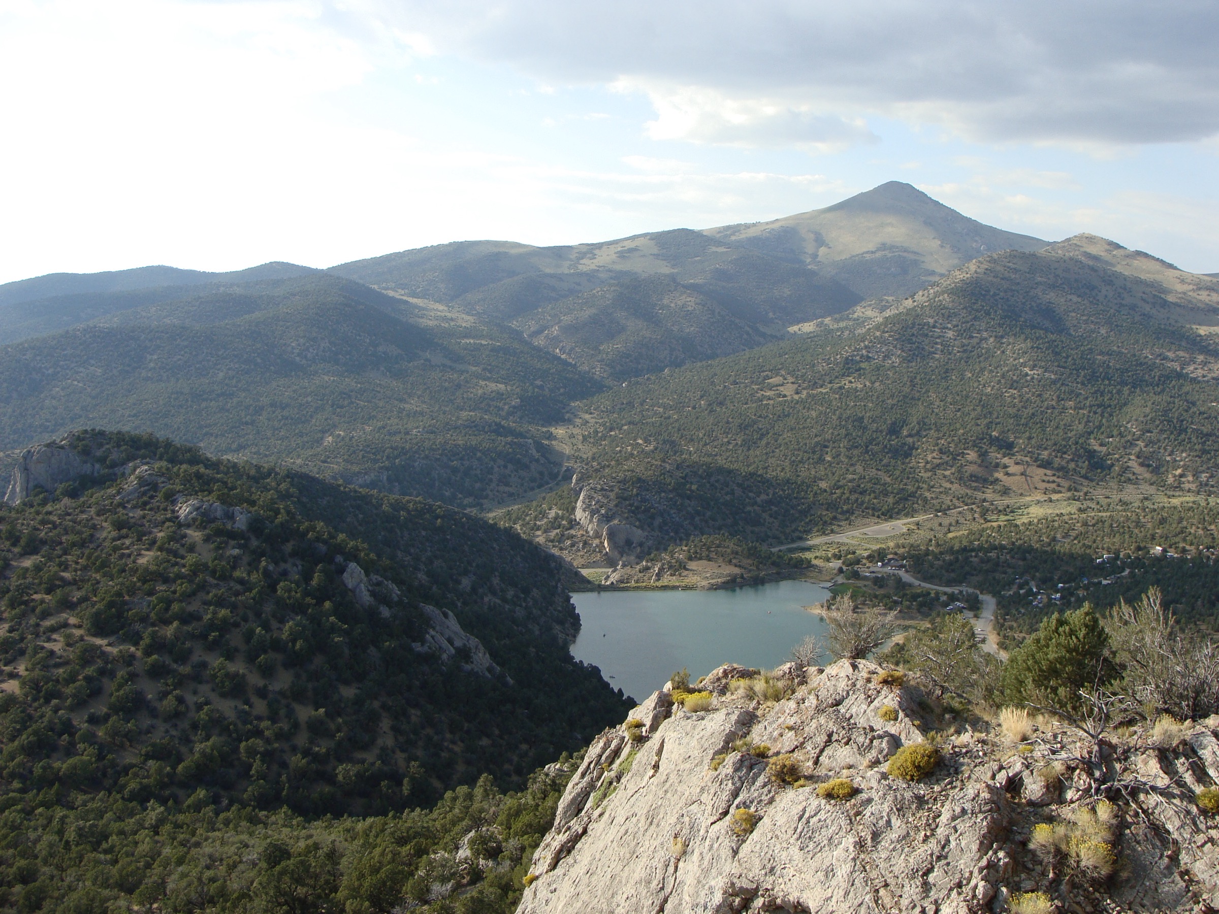
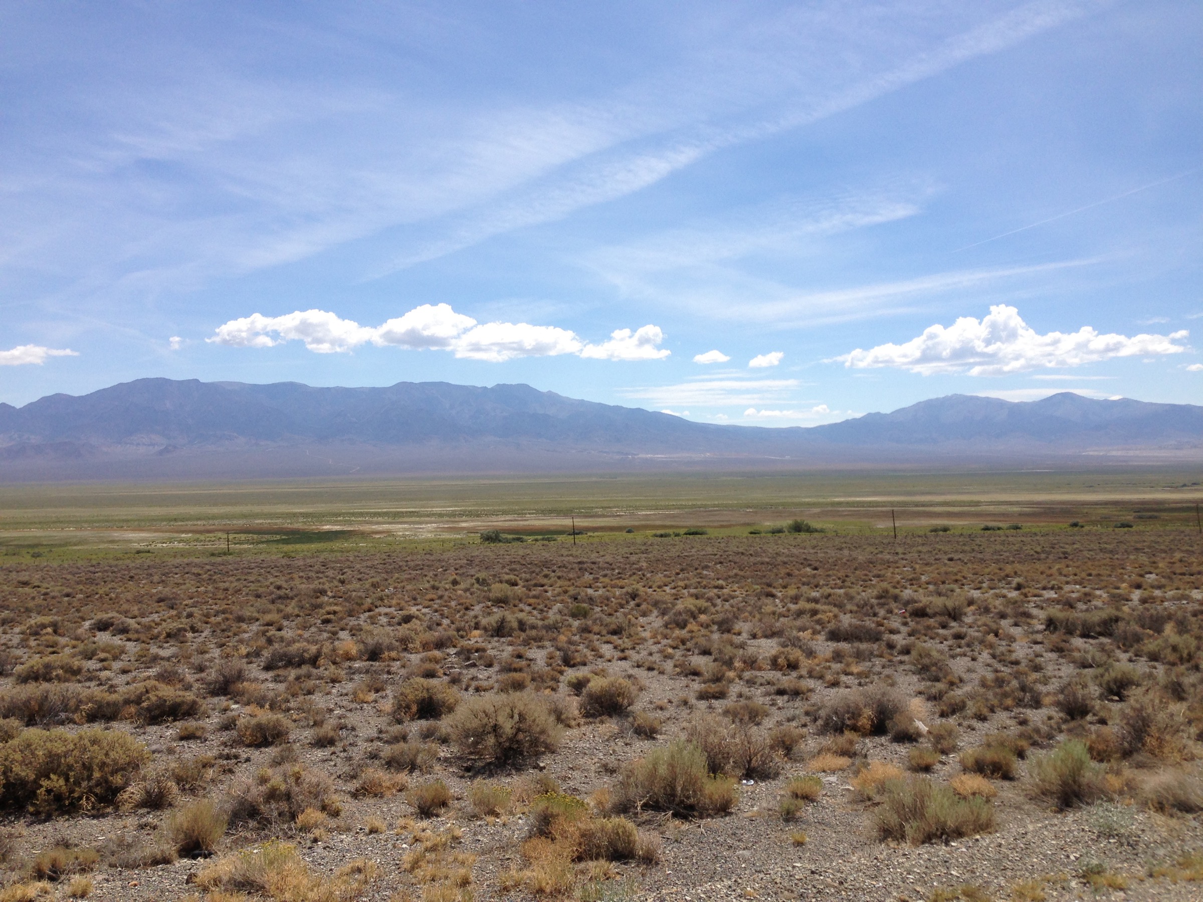
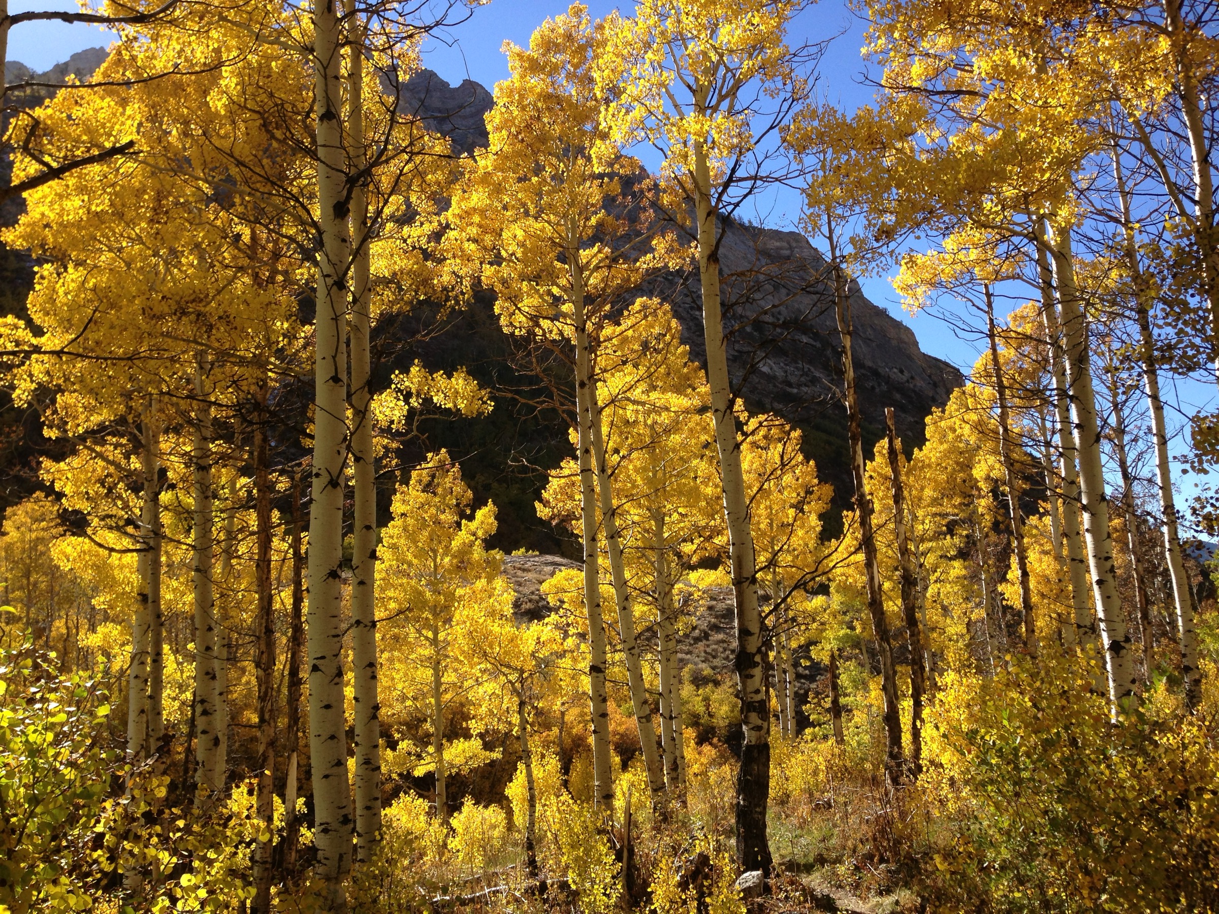
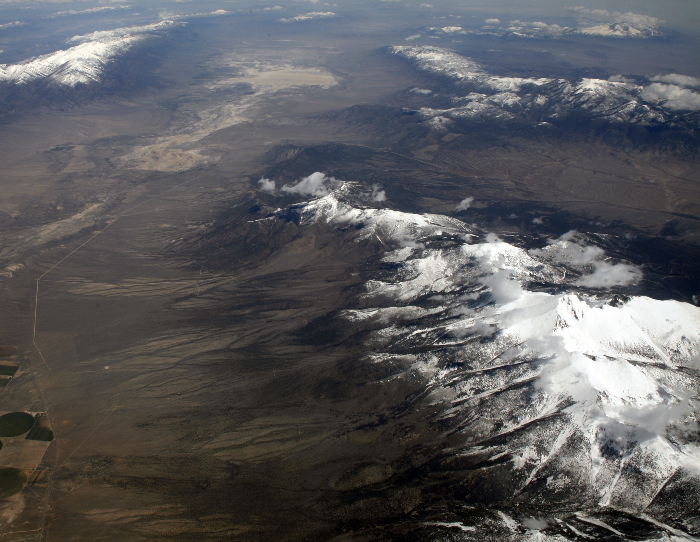
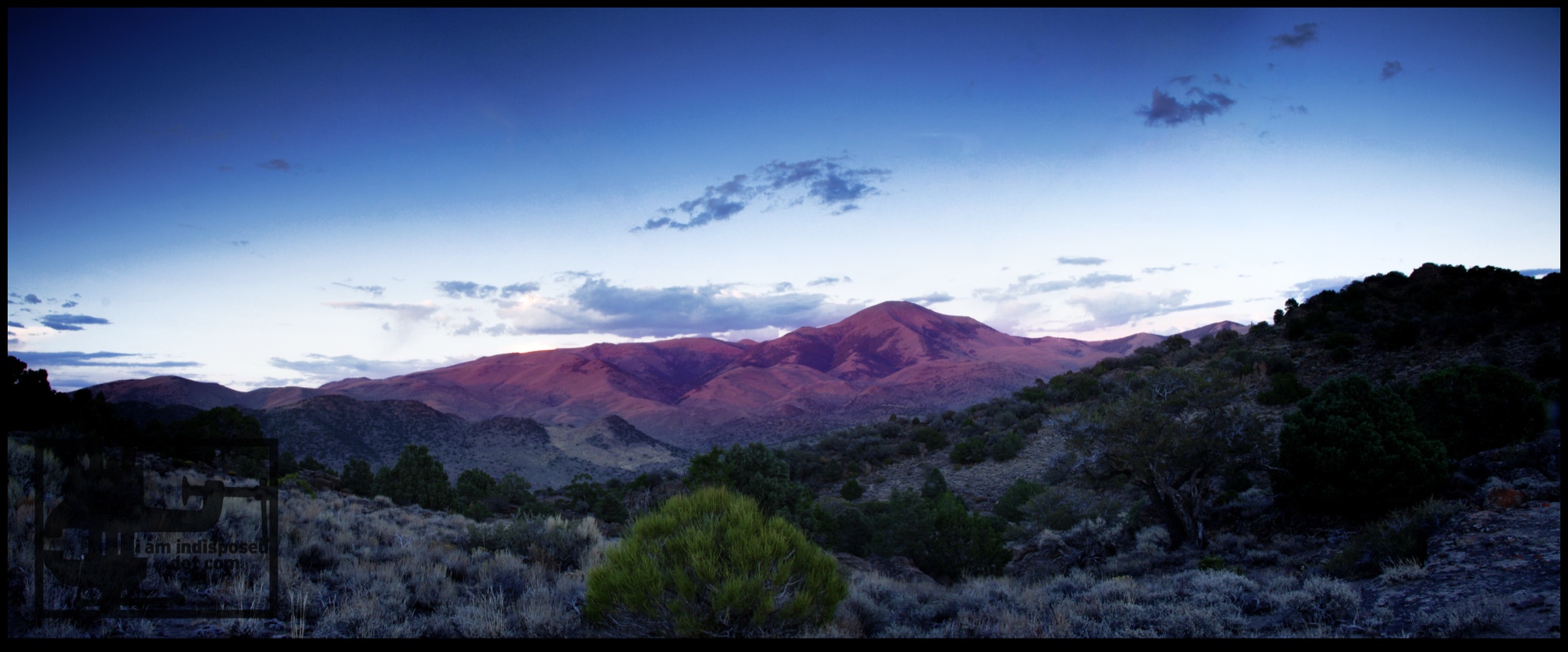
The Toiyabe Range is one of central Nevada’s major north–south Basin-and-Range mountain chains, running for roughly 200 km through Nye and Lander counties between Big Smoky Valley and Reese River Valley. The core hiking interest is the Arc Dome Wilderness, which the Humboldt-Toiyabe National Forest describes as a remote, low-use, 120,551-acre high-elevation wilderness in the southern Toiyabe Range, with glacially carved slopes, rugged canyons, sagebrush and pinyon–juniper below, aspen and perennial streams higher up, and a large trail system.
Access is significantly more committing than in the Ruby Mountains or Great Basin National Park. The nearest communities to Arc Dome Wilderness — Tonopah and Austin — are each about 45 miles from the wilderness, and Forest Service text explicitly describes the area as remote, with difficult access and low use. Trailheads usually involve long dirt-road approaches, seasonal washouts and no services. The best day-hiking season is roughly late spring through autumn, with the highest routes most reliable in mid-summer to early autumn. Current Humboldt-Toiyabe pages should be checked for fire restrictions and road conditions before travel.
See also: Toquima Range, Nevada · Schell Creek Range, Nevada.
Selection rationale
The five walks below balance the Toiyabe Range’s essential route types: Arc Dome for the range high point, South Twin River for a canyon-and-stream approach, Stewart Creek for a hard loop into high Arc Dome terrain, the Toiyabe Crest Trail via Groves Lake for a long day section of the range’s crest-line long-distance route, and Kingston Mine Trail for the mining history of the central Nevada ranges. Trail data for the Toiyabe is thinner than for national-park regions, so route statistics rely on AllTrails cross-checks against Humboldt-Toiyabe National Forest area context; each hike is marked partially verified.
Summary table
| # | Hike | Country | Route type | Distance | Gain | Max elevation | Difficulty |
|---|---|---|---|---|---|---|---|
| 1 | Arc Dome Trail | USA | Out-and-back | 22.7 km | 1,337 m | 3,591 m | Hard |
| 2 | South Twin River Trail | USA | Out-and-back | 10.3 km | 416 m | 2,228 m | Moderate |
| 3 | Stewart Creek Trail | USA | Loop | 12.9 km | 815 m | 3,393 m | Hard |
| 4 | Toiyabe Crest Trail via Groves Lake | USA | Out-and-back | 24.0 km | 1,358 m | 3,190 m | Hard |
| 5 | Kingston Mine Trail | USA | Out-and-back | 5.3 km | 236 m | 2,414 m | Moderate |
1. Arc Dome Trail
Snapshot
Itinerary
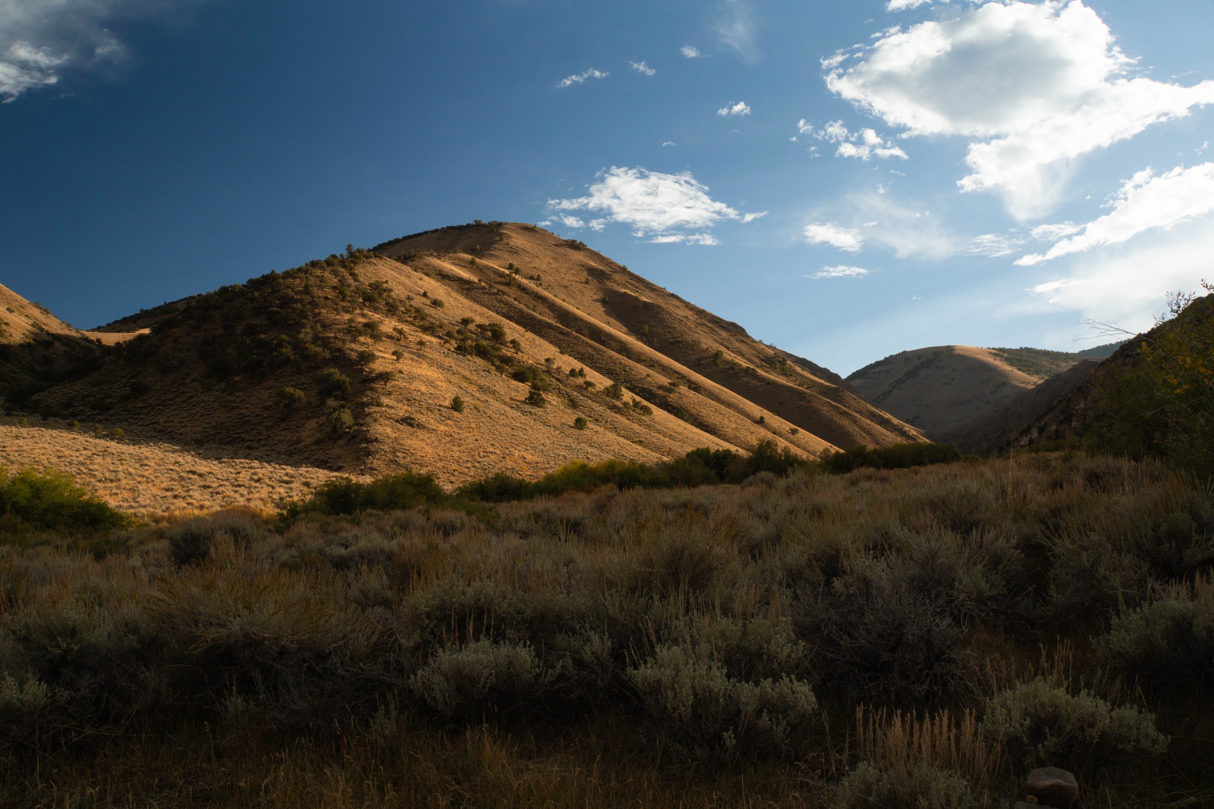
The route climbs from the Columbine Campground area through aspen, sage and open slopes to the Toiyabe Crest, then continues over exposed high ground toward Arc Dome. The final section climbs the upper slopes to the summit before returning the same way.
Why it is essential
Arc Dome is the high point of the Toiyabe Range and the defining summit of the Arc Dome Wilderness — the necessary summit entry for the region and one of central Nevada’s most significant day-hike objectives.
Equipment
- Sturdy boots
- Trekking poles
- Warm and waterproof layers
- Sun protection
- Navigation backup and headtorch
- A full day’s food and water
Hazards and notes
- Remote, high and exposed; limited water above the lower route.
- Intermittent shade, confusing route choices at a mid-trail junction and a tough final mile per AllTrails.
- Cold wind and thunderstorms on the upper slopes.
- Forest Service describes the wilderness as remote with difficult access and low use.
- Verify current wilderness leash rules before taking a dog.
GPX / route file
| Source | URL | Format | Notes |
|---|---|---|---|
| AllTrails — Arc Dome Trail | alltrails.com | Source map / proprietary trail database | Do not reuse proprietary geometry directly |
| Humboldt-Toiyabe National Forest — Arc Dome Wilderness | fs.usda.gov | Official wilderness context | No trail geometry exposed on the page |
Sources
2. South Twin River Trail
Snapshot
Itinerary
The route follows the South Fork Twin River into a scenic canyon, climbing steadily through riparian and canyon terrain. It can function as a shorter out-and-back day hike or as the start of longer loops and backpacking routes into the Arc Dome Wilderness interior.
Why it is essential
South Twin River represents the Toiyabe Range’s stream-fed canyon walking rather than only crest and summit terrain. It is a moderate, lower-elevation complement to the more strenuous Arc Dome and Toiyabe Crest routes.
Equipment
- Sturdy footwear
- Sun protection
- Water, food and map or GPS
- Long trousers where vegetation is thick
- Trekking poles for crossings and uneven tread
Hazards and notes
- Multiple river crossings and thick canyon vegetation per AllTrails review summaries.
- Steep initial climb.
- Remote and lightly used — carry navigation backup.
- Verify local rules before taking a dog.
GPX / route file
| Source | URL | Format | Notes |
|---|---|---|---|
| AllTrails — South Twin River Trail | alltrails.com | Source map / proprietary trail database | Do not reuse proprietary geometry directly |
| Humboldt-Toiyabe National Forest — Arc Dome Wilderness | fs.usda.gov | Official wilderness context | No trail geometry exposed on the page |
Sources
3. Stewart Creek Trail
Snapshot
Itinerary
The Stewart Creek loop climbs from the creek drainage into high Arc Dome Wilderness terrain, reaching open viewpoints and wildflower slopes before completing the loop back toward the trailhead. Exact junction choices should be checked against a downloaded map before departure.
Why it is essential
Stewart Creek gives the Toiyabe set a hard loop option rather than another out-and-back. It reaches high terrain below the crest and reflects the range’s lightly used wilderness character.
Equipment
- Sturdy boots
- Trekking poles
- Warm layer and rain shell
- Sun protection
- Navigation backup and headtorch
- Enough food and water for a remote half-to-full day
Hazards and notes
- Remote and lightly reviewed; navigation uncertainty higher than on national-park routes.
- Snow may affect high sections early or late in the season.
- Exposed upper terrain in thunderstorms.
- Verify current wilderness leash rules before taking a dog.
GPX / route file
| Source | URL | Format | Notes |
|---|---|---|---|
| AllTrails — Stewart Creek Trail | alltrails.com | Source map / proprietary trail database | Do not reuse proprietary geometry directly |
| Humboldt-Toiyabe National Forest — Arc Dome Wilderness | fs.usda.gov | Official wilderness context | No trail geometry exposed on the page |
Sources
4. Toiyabe Crest Trail via Groves Lake
Snapshot
Itinerary
From Groves Lake Trailhead, the route follows the Toiyabe Crest Trail south as it climbs through canyon and mountain terrain to crest viewpoints. The catalogue route is a long out-and-back day section rather than the full Toiyabe Crest Trail. The turnaround point should be chosen according to weather, daylight, water and party fitness.
Why it is essential
The Toiyabe Crest National Recreation Trail is the defining long-distance route of the range. This hike selects a single day section so the catalogue includes the crest experience without turning the entry into a multi-day trek.
Equipment
- Sturdy boots
- Trekking poles
- Warm and waterproof layers
- Sun protection
- Navigation backup and headtorch
- Substantial food and water; emergency margin
Hazards and notes
- At the upper end of a normal day-hike distance; long return.
- Heat, dehydration, thunderstorms, snow patches and route-finding all matter.
- AllTrails lists dogs on leash.
- Camping is a separate matter; this entry treats the route as a day hike only.
GPX / route file
| Source | URL | Format | Notes |
|---|---|---|---|
| AllTrails — TCT via Groves Lake | alltrails.com | Source map / proprietary trail database | Do not reuse proprietary geometry directly |
| Humboldt-Toiyabe National Forest — Arc Dome Wilderness | fs.usda.gov | Official Toiyabe Crest context | No trail geometry exposed on the page |
Sources
- AllTrails — TCT via Groves Lake
- Humboldt-Toiyabe National Forest — wilderness
- Toiyabe Range — reference page
5. Kingston Mine Trail
Snapshot
Itinerary
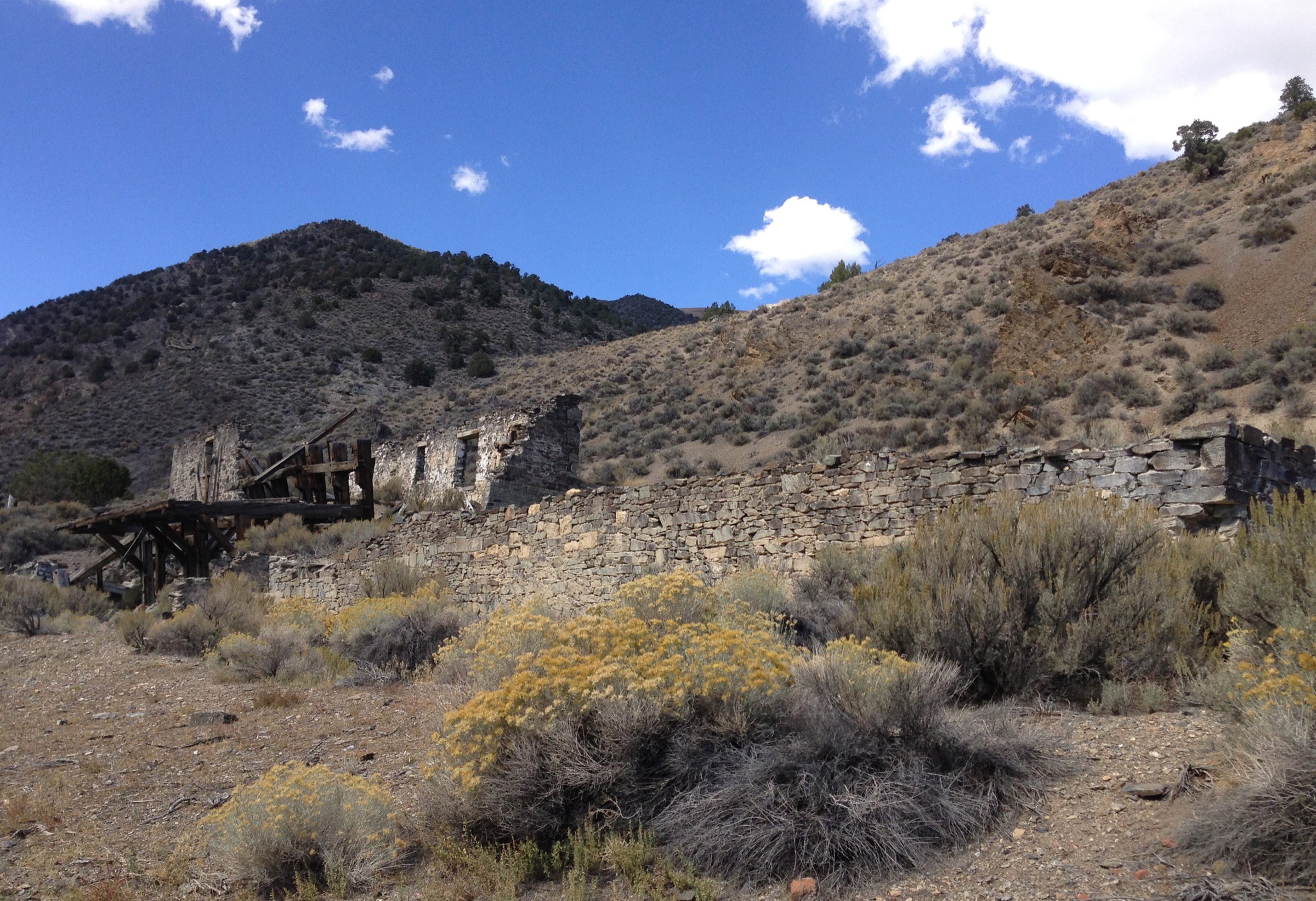
The route explores the old mining landscape near Kingston, following rough terrain to historic mine features and viewpoints before returning by the same route. This is a hiking visit to a historic landscape, not permission to enter unstable mine workings.
Why it is essential
Kingston Mine Trail adds cultural and historic depth to the Toiyabe Range selection. It represents the mining history of the central Nevada ranges and gives a shorter, lower-commitment objective than the Arc Dome and Toiyabe Crest routes.
Equipment
- Sturdy shoes
- Sun protection
- Water and food
- Offline navigation
- Extra water in hot weather
Hazards and notes
- Rough terrain and limited shade.
- Old mine features — stay out of mine openings and unstable structures.
- AllTrails lists dogs on leash.
- Check current road and fire conditions before travel.
GPX / route file
| Source | URL | Format | Notes |
|---|---|---|---|
| AllTrails — Kingston Mine Trail | alltrails.com | Source map / proprietary trail database | Do not reuse proprietary geometry directly |
| Western Mining History — Kingston, Nevada | westernmininghistory.com | Historic context page | Reuse terms not checked; no route geometry |
Sources
- AllTrails — Kingston Mine Trail
- Western Mining History — Kingston, Nevada
- Humboldt-Toiyabe National Forest
Further reading
- Humboldt-Toiyabe National Forest — homepage
- Humboldt-Toiyabe National Forest — wilderness overview
- USDA Forest Service — TrailNFS public ArcGIS layer
- Arc Dome — reference page
- Toiyabe Range — reference page
Missing data / follow-up work
- Official downloadable GPX/KML files were not retrieved for any of the five routes; route-file status rests on AllTrails route pages plus Humboldt-Toiyabe wilderness text.
- Elevation loss values are inferred from route type and are not independently published.
- Road-approach conditions for Arc Dome, South Twin River, Stewart Creek, Groves Lake and Kingston Mine need local confirmation before travel — high-clearance vehicle may be prudent.
- Public transport access was not verified for any hike; the region is effectively private-vehicle only.
- Licence-compatible route-specific images for South Twin River, Stewart Creek and the Toiyabe Crest Trail via Groves Lake are still needed at the site’s 2,000 px floor.
- Some Toiyabe route data depends on sparse trail-database records with low review counts; future work should cross-check with official Forest Service GIS or local ranger-district maps if available.