Regional overview
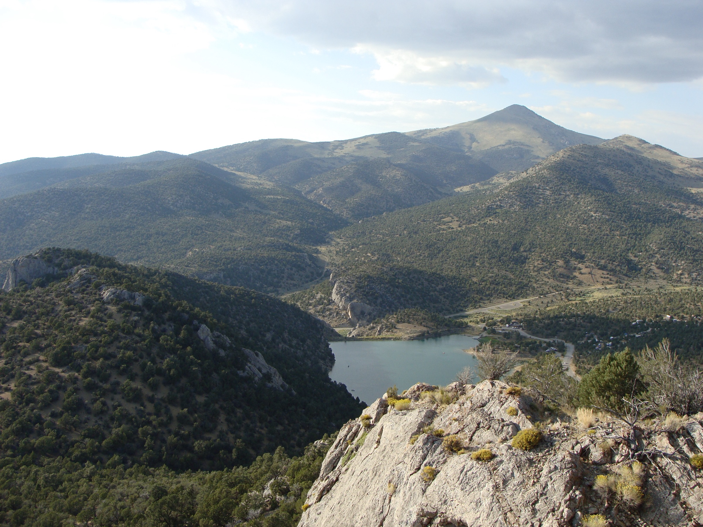
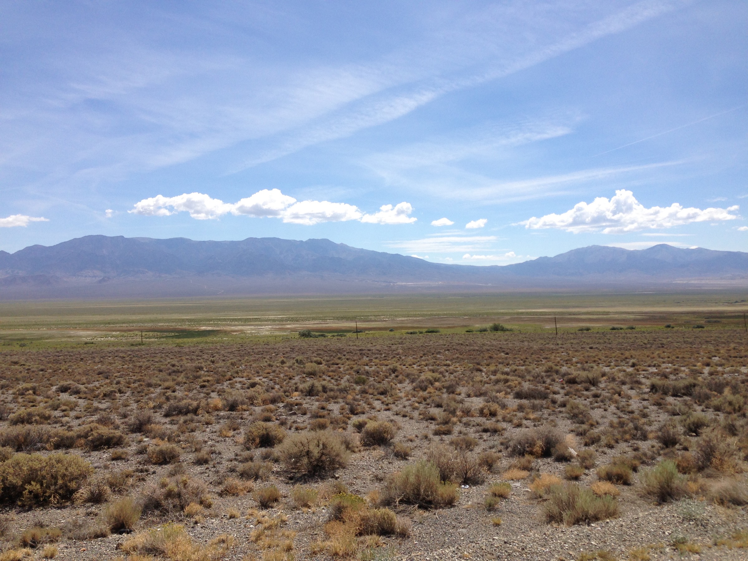
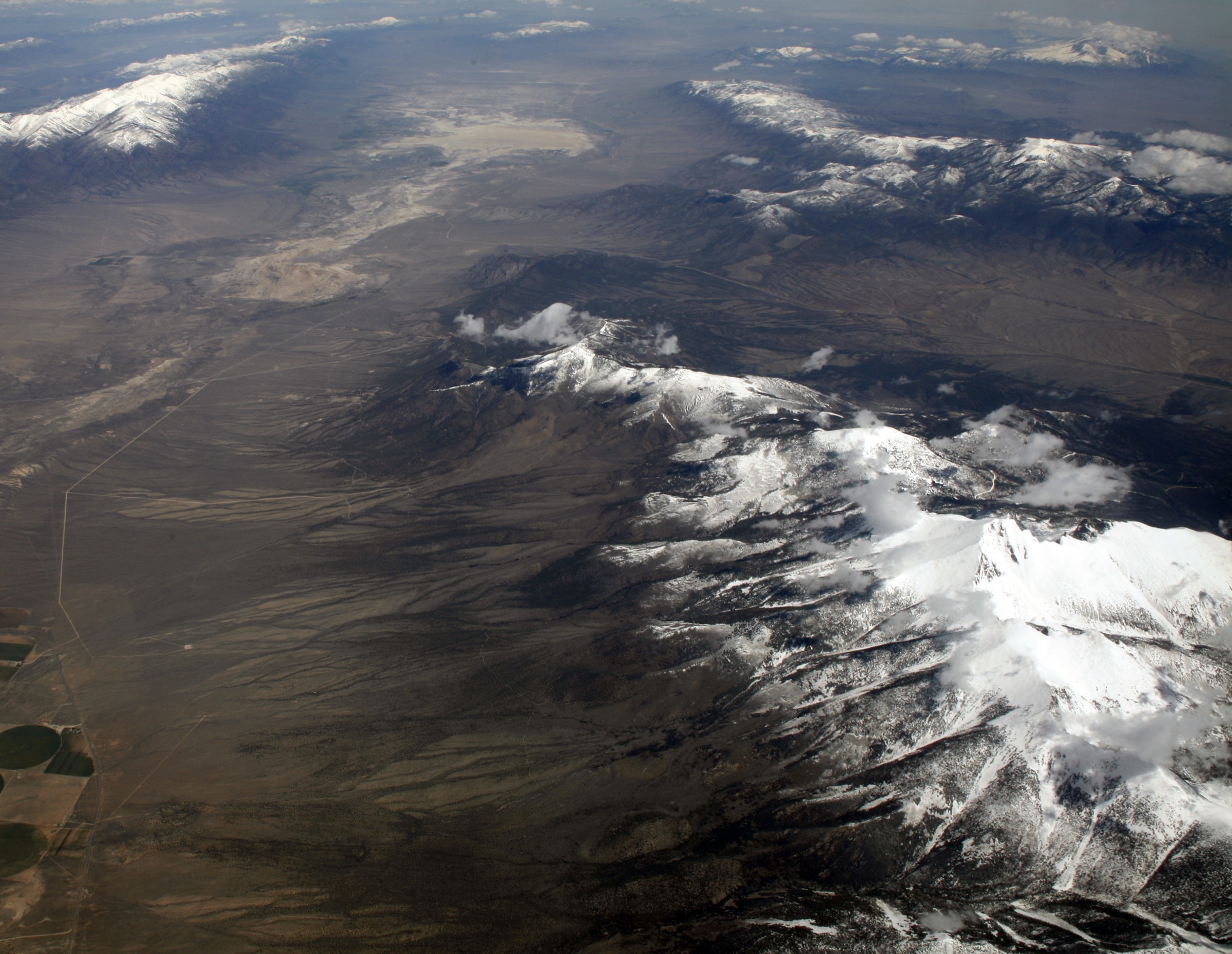
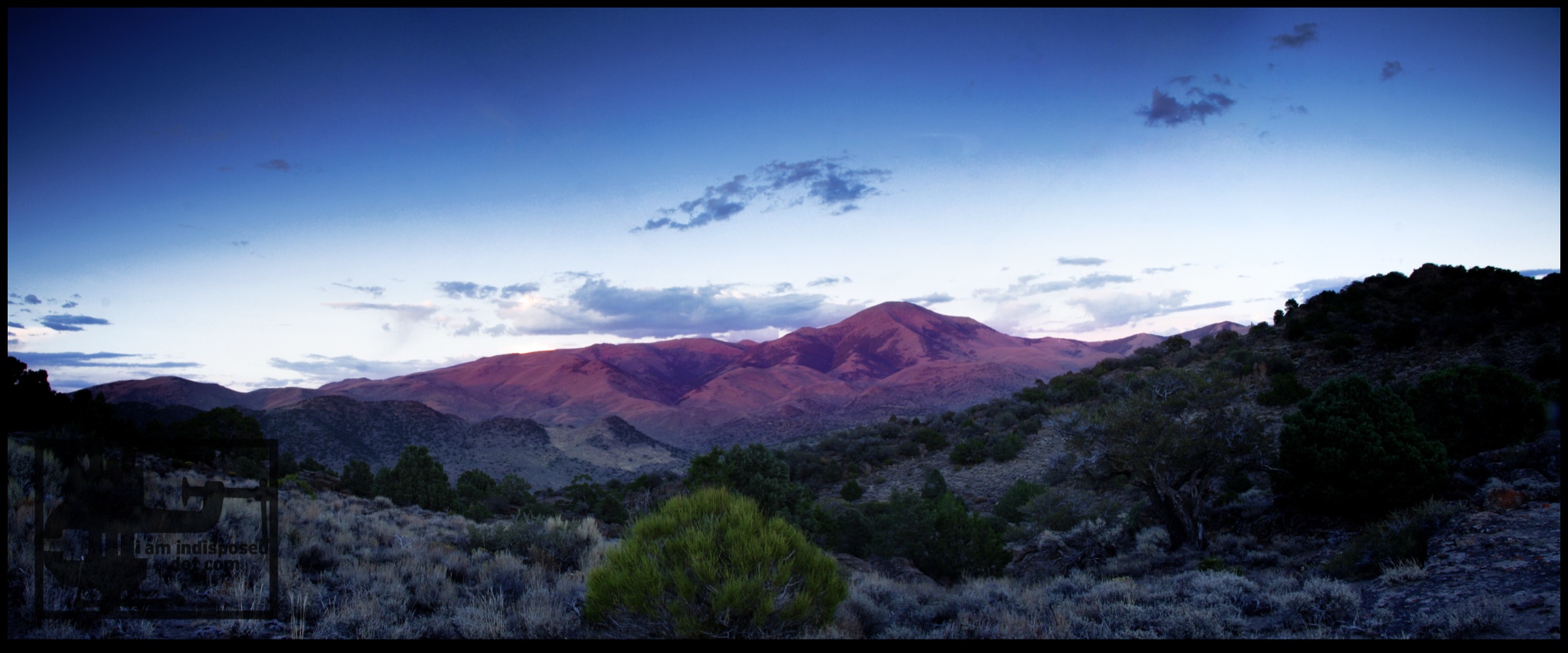
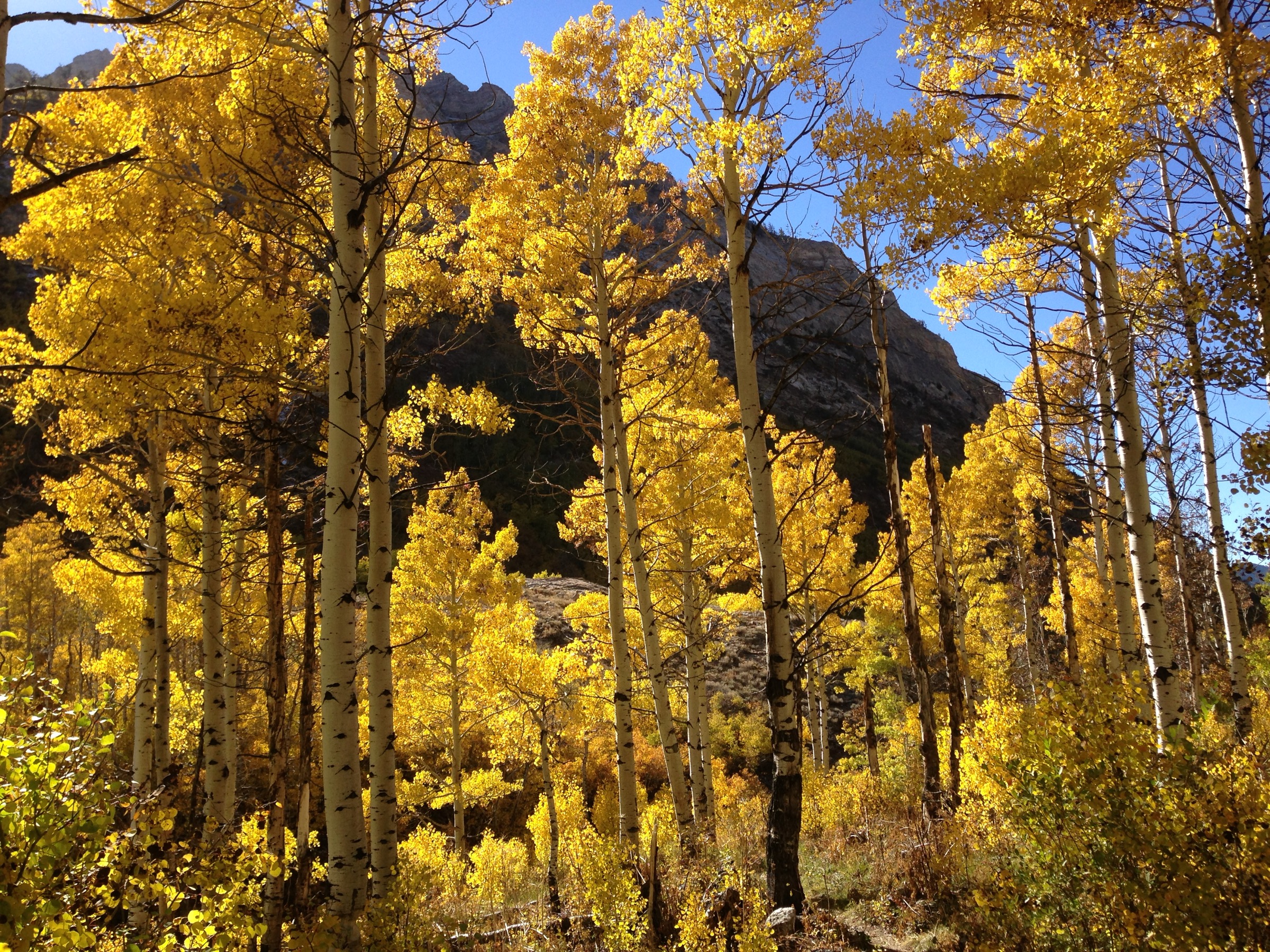
The Ruby Mountains are the most alpine-feeling range in northeastern Nevada — a high, glaciated desert range with granite and metamorphic peaks, U-shaped valleys, high lakes, aspen pockets, sagebrush lower slopes and many summits over 3,350 m. The Humboldt-Toiyabe National Forest describes the Ruby Mountains Wilderness as over 92,000 acres, with rugged scenery, lush meadows, high mountain lakes, abundant wildlife and ten peaks over 11,000 ft.
The main day-hiking centre is Lamoille Canyon, a paved-road approach ending at developed trailheads near the northern end of the Ruby Crest National Recreation Trail. That makes the range unusual for Nevada — several high-country hikes start from a road-accessed alpine canyon, while more strenuous summit routes such as Ruby Dome still feel remote and serious.
The normal hiking season is late spring to early autumn, but snow may remain high in cirques and on shaded talus well into summer. Heat can be severe in the lower approach valleys, while storms and wind can make the high basins cold even in July. Current Forest Service alerts checked on 2026-07-17 listed Stage 1 fire restrictions for the Mountain City–Ruby Mountains–Jarbidge Ranger Districts and moderate fire danger for that district. A 2026 Forest Service press release also listed Island Lake Trail as closed for bridge replacement, so that route must be locally confirmed before use.
See also: Schell Creek Range, Nevada · Toquima Range, Nevada.
Selection rationale
These five hikes cover the range’s essential day-hiking character: the short classic lake route at Island Lake, the Ruby Crest approach to Lamoille Lake, the longer Liberty Lake extension, the Thomas Creek canyon route and the demanding high-point ascent of Ruby Dome. Lamoille Canyon is over-represented because it is the primary paved, developed access point for the Ruby Mountains Wilderness and the northern Ruby Crest trail system. Route statistics were cross-checked against AllTrails, the USDA Forest Service Ruby Mountains Wilderness pages and Wikipedia’s Lamoille Canyon and Island Lake entries; no downloadable GPX was retrieved.
Summary table
| # | Hike | Country | Route type | Distance | Gain | Max elevation | Difficulty |
|---|---|---|---|---|---|---|---|
| 1 | Island Lake Trail | USA | Out-and-back | 6.0 km | 279 m | 2,954 m | Moderate |
| 2 | Lamoille Lake Trail | USA | Out-and-back | 7.1 km | 301 m | 2,979 m | Moderate |
| 3 | Liberty Lake Trail | USA | Out-and-back | 14.2 km | 629 m | 3,187 m | Hard |
| 4 | Thomas Creek Trail | USA | Out-and-back | 7.1 km | 388 m | 2,693 m | Moderate |
| 5 | Hennen Canyon Trail to Ruby Dome | USA | Out-and-back | 15.4 km | 1,476 m | 3,468 m | Hard |
1. Island Lake Trail
Snapshot
Itinerary
From the developed Road’s End area in upper Lamoille Canyon, the route climbs from the glacial valley floor into the hanging basin of Island Lake. The path gains elevation quickly on switchbacks, then enters the cirque below the Ruby crest. Return by the same route. Wikipedia’s Island Lake entry describes the lake as reached by a roughly 2-mile trail from the parking lot at the end of Lamoille Canyon Road and lying about 910 ft above that parking area.
Why it is essential
Island Lake is the compact classic of Lamoille Canyon — a short, high-impact hike to a glacial lake in one of the most accessible alpine basins in Nevada. It gives a strong sense of the Ruby Mountains’ granite basins and cirque scenery without requiring a long day.
Equipment
- Sturdy hiking footwear
- Sun protection
- Warm layer and rain shell
- Water and food
- Map or offline GPS
- Trekking poles for the switchbacks and lingering snow patches
Hazards and notes
- Altitude effects, sudden cold wind, thunderstorms and lingering snow.
- Trail closure: the Forest Service homepage listed Island Lake Trail closed for bridge replacement as a 30 June 2026 press release; do not use the route while that closure is in effect.
- Dogs listed by AllTrails as allowed on leash.
- Check current Ruby district fire restrictions before travel.
GPX / route file
| Source | URL | Format | Notes |
|---|---|---|---|
| AllTrails — Island Lake Trail | alltrails.com | Source map / proprietary trail database | Direct GPX not retrieved; do not reuse geometry without licence/export authorisation |
| Humboldt-Toiyabe National Forest | fs.usda.gov | Official forest portal | Use for interactive visitor map and current alerts; no route file exposed |
| OpenStreetMap search | openstreetmap.org | Source map | Reusable only under ODbL terms with attribution/share-alike |
Sources
- AllTrails — Island Lake Trail
- Humboldt-Toiyabe National Forest — homepage
- Humboldt-Toiyabe National Forest — Wilderness
- Wikipedia — Island Lake (Nevada)
2. Lamoille Lake Trail
Snapshot
Itinerary
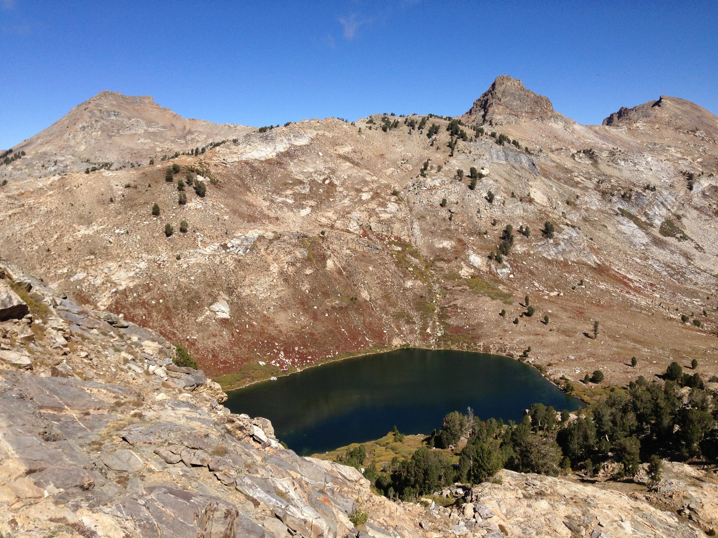
The route follows the Ruby Crest Trail corridor from upper Lamoille Canyon toward the high lake basins. It climbs past forest, open slopes and smaller ponds before reaching Lamoille Lake. The trail continues toward Liberty Lake and the longer Ruby Crest National Recreation Trail, but Lamoille Lake is a practical day-hike destination from the canyon road.
Why it is essential
Lamoille Lake is a representative Ruby Mountains lake walk on the northern Ruby Crest approach — longer and more varied than the Island Lake spur, while remaining a moderate day hike for fit walkers in normal summer conditions.
Equipment
- Sturdy boots or shoes
- Weatherproof and warm layers
- Sun protection
- Water and food
- Map / GPS
- Trekking poles
- Microspikes if snow remains
Hazards and notes
- Snow, muddy sections, loose rock and afternoon storms are the main concerns.
- AllTrails review summaries mention possible snow; early starts and downloaded maps are advisable.
- Dogs listed as allowed on leash.
- Check current Ruby district fire restrictions.
GPX / route file
| Source | URL | Format | Notes |
|---|---|---|---|
| AllTrails — Lamoille Lake Trail | alltrails.com | Source map / proprietary trail database | Direct GPX not retrieved; do not reuse geometry without licence/export authorisation |
| USFS — Ruby Mountains Wilderness | fs.usda.gov | Official area and trail-system context | No route file exposed |
| OpenStreetMap search | openstreetmap.org | Source map | Reusable only under ODbL terms with attribution/share-alike |
Sources
3. Liberty Lake Trail
Snapshot
Itinerary
From the Lamoille Canyon trailhead, follow the Ruby Crest approach past Dollar Lakes and Lamoille Lake into higher, more open terrain. The route continues to Liberty Lake, set below steep Ruby Mountains walls, then returns on the same trail. The itinerary uses a day-hike section of the longer Ruby Crest National Recreation Trail.
Why it is essential
Liberty Lake is the stronger full-day version of the Lamoille Canyon high-lake hikes. It reaches deeper Ruby Crest scenery than Island or Lamoille Lakes and represents the longer, more committing day-hiking possibilities of the range.
Equipment
- Mountain hiking equipment
- Extra warm layer and rain shell
- Headtorch for delays
- Navigation backup
- Sufficient water and food
- Trekking poles
- Microspikes or ice axe only when early-season snow turns the route into a snow-travel outing
Hazards and notes
- The day is long enough for fatigue, storms, route-finding errors at junctions and cold wind near the lake.
- AllTrails review summaries mention steep climbs and afternoon weather changes.
- Dogs listed as allowed on leash.
- Confirm Lamoille Canyon access and current fire restrictions before departure.
GPX / route file
| Source | URL | Format | Notes |
|---|---|---|---|
| AllTrails — Liberty Lake Trail | alltrails.com | Source map / proprietary trail database | Direct GPX not retrieved; do not reuse geometry without licence/export authorisation |
| USFS — Ruby Mountains Wilderness | fs.usda.gov | Official area and trail-system context | No route file exposed |
| OpenStreetMap search | openstreetmap.org | Source map | Reusable only under ODbL terms with attribution/share-alike |
Sources
4. Thomas Creek Trail
Snapshot
Itinerary
The trail starts at Thomas Canyon Campground and follows Thomas Creek southward into the Ruby Mountains Wilderness edge. It climbs steadily through creekside vegetation, canyon scenery, wildflower slopes and waterfall viewpoints before returning the same way.
Why it is essential
Thomas Creek balances the lake-heavy Lamoille selections with a canyon-and-water route. It represents the Ruby Mountains’ lush stream corridors and lower subalpine transitions, with a shorter day than the Ruby Crest lake extensions.
Equipment
- Standard hiking equipment
- Sturdy waterproof footwear when the trail is muddy
- Sun protection
- Water and food
- Offline navigation
- Trekking poles for steeper or muddy sections
Hazards and notes
- AllTrails notes muddy sections, steep ground and places where the trail can be easy to lose.
- Creek corridors can be slippery; thunderstorms can raise water levels.
- Dogs listed as allowed on leash.
- Confirm campground and road status before travel.
GPX / route file
| Source | URL | Format | Notes |
|---|---|---|---|
| AllTrails — Thomas Creek Trail | alltrails.com | Source map / proprietary trail database | Direct GPX not retrieved; do not reuse geometry without licence/export authorisation |
| USFS — Ruby Mountains Wilderness | fs.usda.gov | Official area context | No route file exposed |
| OpenStreetMap search | openstreetmap.org | Source map | Reusable only under ODbL terms with attribution/share-alike |
Sources
5. Hennen Canyon Trail to Ruby Dome
Snapshot
Itinerary
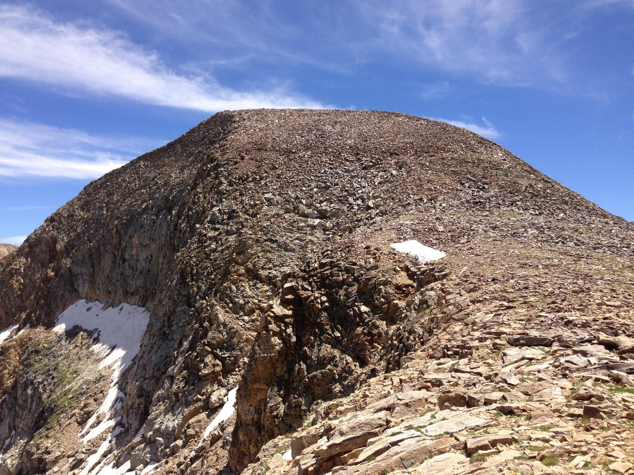
The route climbs Hennen Canyon from desert-edge terrain into aspens, then continues toward Griswold Lake. Above the lake, the route becomes more rugged, using cairns, talus, snowfield-prone slopes and the saddle between Ruby Dome and Ruby Pyramid before the final summit ascent. Return by the same route.
Why it is essential
Ruby Dome is the high point of the Ruby Mountains and one of Nevada’s major non-technical mountain objectives. This hike gives the region its summit entry — far more demanding than the Lamoille Canyon lake routes, but central to any catalogue of essential Ruby Mountains day hikes.
Equipment
- Mountain hiking equipment
- Robust boots
- Trekking poles
- Headtorch
- Warm and weatherproof layers
- Sun protection
- Substantial water and food
- Reliable offline navigation
- Early-season or snow-covered conditions may require snow-travel equipment and skills
Hazards and notes
- Remote, strenuous summit route with talus, steep climbing, cairn-following, possible hard snow and limited water above Griswold Lake.
- AllTrails review summaries note rocky terrain, steep climbs and hard-to-follow sections past Griswold Lake.
- Start early and avoid thunderstorms.
- Dogs are not listed as a feature for this route in the checked AllTrails record.
GPX / route file
| Source | URL | Format | Notes |
|---|---|---|---|
| AllTrails — Hennen Canyon Trail to Ruby Dome | alltrails.com | Source map / proprietary trail database | Direct GPX not retrieved; do not reuse geometry without licence/export authorisation |
| USFS — Ruby Mountains Wilderness | fs.usda.gov | Official area context | No route file exposed |
| OpenStreetMap search | openstreetmap.org | Source map | Reusable only under ODbL terms with attribution/share-alike |
Sources
- AllTrails — Hennen Canyon Trail to Ruby Dome
- USFS — Ruby Mountains Wilderness
- Wikipedia — Ruby Mountains
Further reading
- Humboldt-Toiyabe National Forest — homepage
- Humboldt-Toiyabe National Forest — Wilderness
- Wikipedia — Lamoille Canyon
- Wikipedia — Island Lake (Nevada)
- Wikipedia — Ruby Mountains
- Companion articles on this site: Schell Creek Range, Nevada and Toquima Range, Nevada — the other verified Great Basin Ranges catalogues in this taxonomy.
Missing data / follow-up work
- Official GPX or KML downloads were not found for the selected routes; only source maps and official area pages were verified.
- Island Lake Trail has a current Forest Service closure notice for bridge replacement dated 30 June 2026; local status must be confirmed before publication or travel.
- Elevation loss is inferred from out-and-back geometry and was not independently published.
- Only one licence-compatible regional Ruby Mountains / Lamoille Canyon image was verified in this pass; route-specific photo sourcing remains incomplete, and no licence-compatible route photo was found for Ruby Dome.
- Public transport access was not verified; assume private vehicle access unless later confirmed.