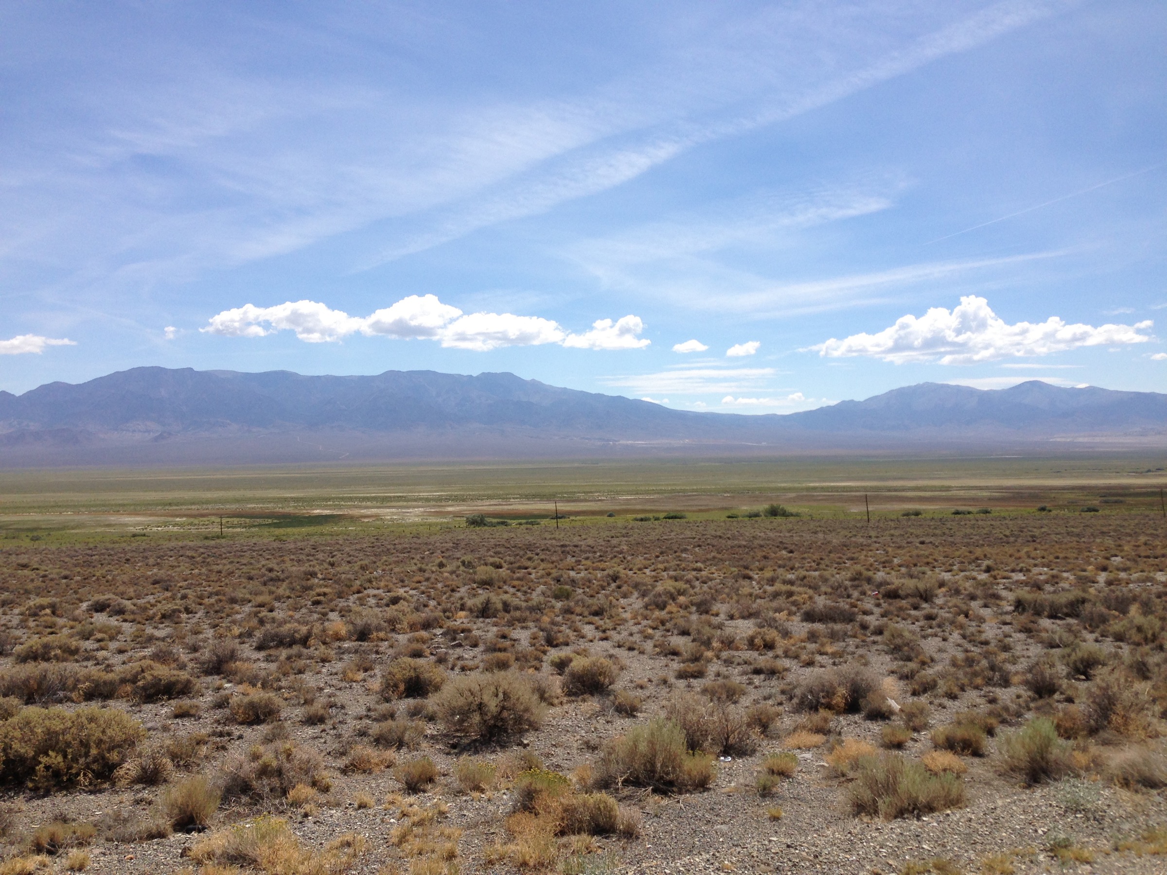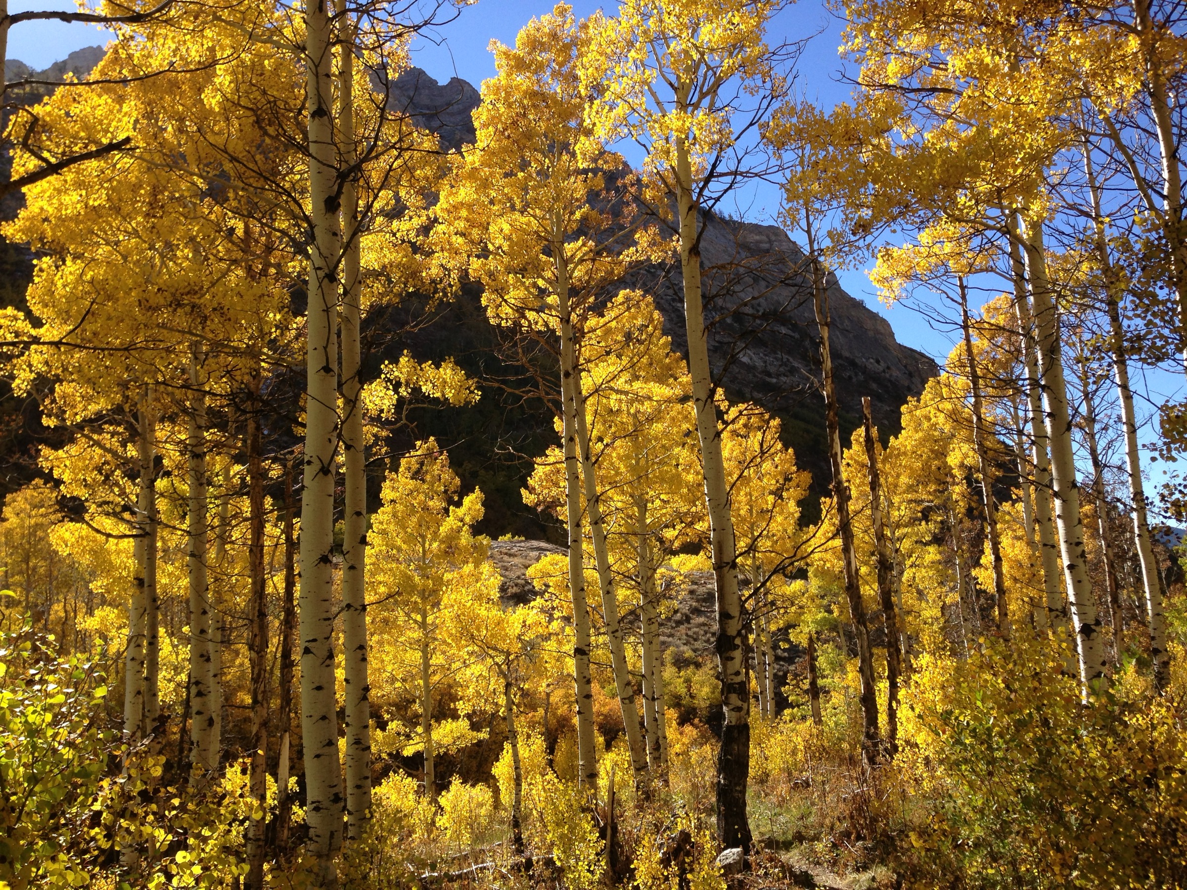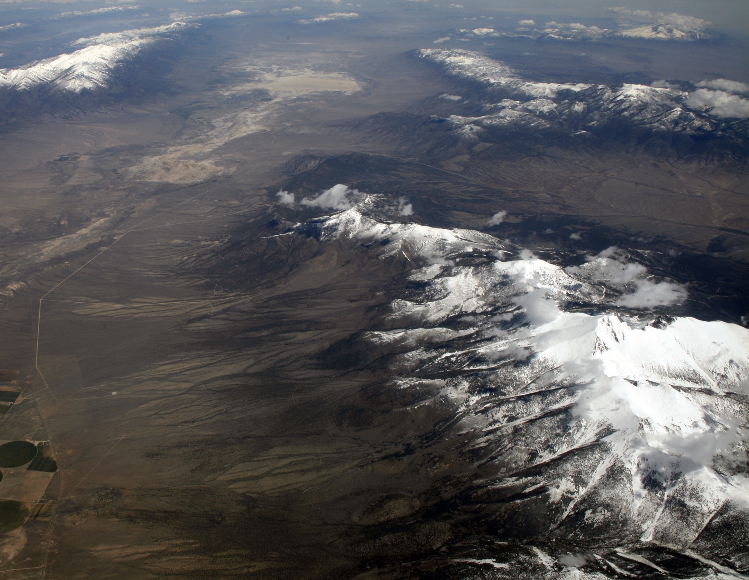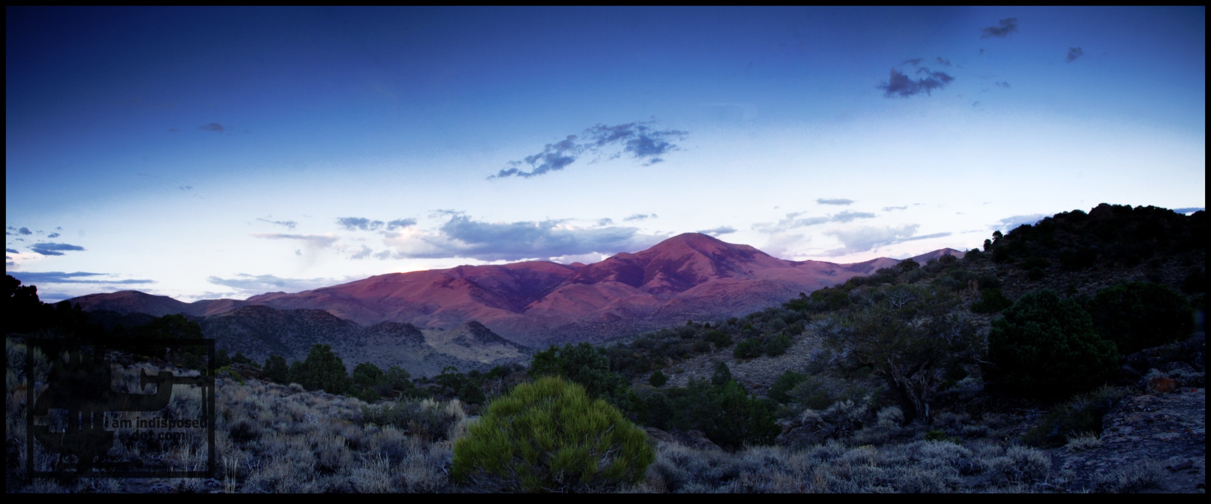
Regional overview
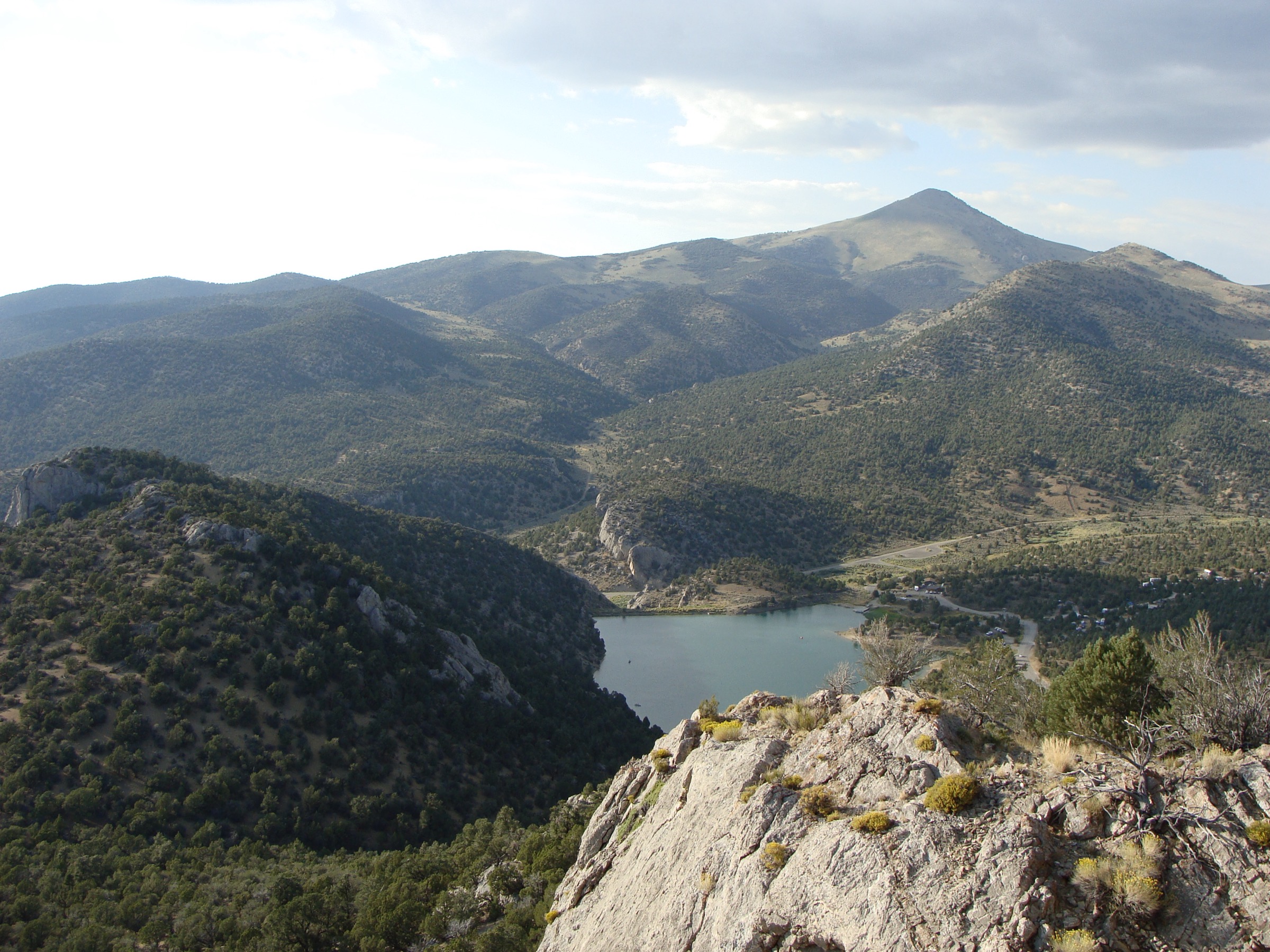
The Schell Creek Range is a long east-central Nevada mountain chain near Ely and McGill. Its hiking centrepieces are the High Schells Wilderness, the North Schell Peak high country, Cave Lake State Park and a set of official Humboldt-Toiyabe National Forest trails that climb through creek canyons, aspen and conifer forest, and high ridges. North Schell Peak is the range high point; route sources list it around 11,883–11,895 ft, with the higher NAVD88 value used by the mountain reference pages consulted for this entry.
Route data draws on Nevada State Parks information for the developed Cave Lake trail system, USDA Forest Service trail pages and the USFS TrailNFS source-map service for official High Schells Wilderness trails, and SummitPost route information for the standard North Schell Peak day hike via Timber Creek. Where a public source did not provide gain / loss, exact coordinates, or a reusable route file, those fields remain unresolved and are flagged in the snapshots below.
For a neighbouring Great Basin range in the same broader taxonomy, see the sister catalogue on the Toquima Range.
See also: Toquima Range, Nevada · Wasatch Plateau, Utah.
Selection rationale
The five hikes below cover the most useful verified day-hike spread in the Schell Creek Range: the range high point, the best developed state-park loop, a High Schells Wilderness through-trail, a longer east-side creek canyon, and a shorter ridge climb toward Cleve Creek Baldy. They are suitable catalogue anchors because each has either an official public-agency route page or a widely used mountain-route page with explicit distance and gain. Route-file, gain / loss and photo status remain flagged in the snapshots below and in the closing Missing data / follow-up work section.
Summary
| # | Hike | Trailhead | Route type | Distance | Gain | Max elevation | Difficulty |
|---|---|---|---|---|---|---|---|
| 1 | North Schell Peak via Timber Creek | Timber Creek Campground / FR 425 | Out-and-back summit | ~9.7 km | ~875 m | 3,626 m (11,895 ft) | Strenuous |
| 2 | Cave Lake Overlook Trail | East end of Cave Lake, Cave Lake State Park | Loop | 7.2 km | Unresolved | Unresolved | Strenuous |
| 3 | Berry Creek Trail | End of FR 59424, off SR 486 | Point-to-point | 7.2 km one way | Unresolved | Unresolved | Moderate–hard |
| 4 | North Fork Cleve Creek Trail | Cleve Creek Road / FR 59435 | Out-and-back canyon | ~14.2 km | Unresolved | Unresolved | Moderate–hard |
| 5 | Cleve Creek Baldy Trail | Water Canyon / Forest boundary east of SR 486 | Out-and-back ridge | ~5.1 km | Unresolved | Ends just below Cleve Creek Baldy, 3,324 m | Moderate |
1. North Schell Peak via Timber Creek
Snapshot
Itinerary
From the Timber Creek road block, follow the valley north on an old road that fades to trail, climb the drainage toward treeline, continue to the base of a broad grassy slope, climb east to the saddle between North Schell Peak and Point 3,571 m, then turn south along the ridge to the summit. Return by the same route.
Why it is essential
North Schell Peak is the high point of the Schell Creek Range and the most important summit objective for the region.
Equipment
- Offline map and GPS
- Ridge-navigation skills
- Sturdy footwear
- 3 L water
- Sun protection
- Warm layers and rain shell
- Headtorch for a slow party
Hazards and notes
- High altitude — plan for slower pace and greater weather exposure.
- Off-trail navigation on the upper slope and summit ridge.
- Loose or grassy slope travel, lingering snow, cornices.
- Lightning risk in summer afternoons.
- Remote forest-road access — check road status before committing.
GPX / route file
| Source | URL | Format | Notes |
|---|---|---|---|
| SummitPost — North Schell Peak overview | summitpost.org | Route page | Summit and route context; SummitPost terms not assessed |
| SummitPost — Timber Creek route | summitpost.org | Route page | Distance, gain, class and season; no GPX / KML retrieved |
Sources
2. Cave Lake Overlook Trail
Snapshot
Itinerary
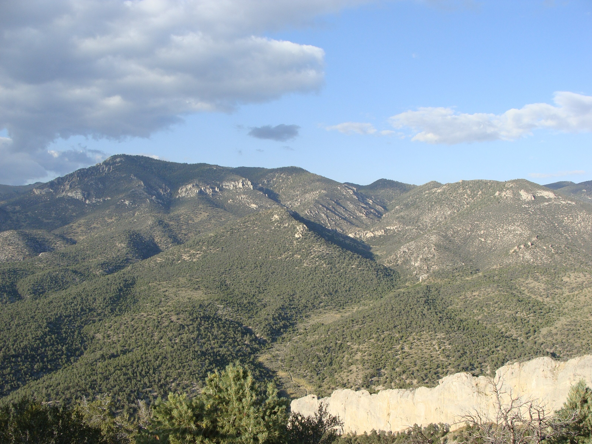
Hike the Cave Lake Overlook Trail loop from the east end of the lake, climbing above the 32-acre reservoir and returning to the developed state-park trail system. Nevada State Parks describes this as one of four maintained hiking trails in the park.
Why it is essential
This is the most accessible developed hiking loop in the range and gives a classic Cave Lake view without needing wilderness-road navigation.
Equipment
- Sturdy footwear
- 1.5–2 L water
- Sun protection
- Layers
- Microspikes in winter or shoulder seasons
Hazards and notes
- Snow or ice in cold seasons.
- Exposed sunny slopes in summer.
- State-park rules and fees apply; no drones.
- Pets on a leash no longer than 6 ft.
GPX / route file
| Source | URL | Format | Notes |
|---|---|---|---|
| Nevada State Parks — Cave Lake | parks.nv.gov | Web page | Official route description, distance, difficulty and fees; no GPX exposed |
| USFS TrailNFS — Cave Lake Loop #19125 (source-map context) | apps.fs.usda.gov | GeoJSON | USDA Forest Service data; equivalence to state-park loop should be checked before reuse |
Sources
3. Berry Creek Trail
Snapshot
Itinerary
Follow the official Berry Creek Trail from the Berry Creek Road cherry-stem, briefly south along Berry Creek, then west over a ridge and northwest into Worthington Canyon, ending at the Worthington Canyon Road cherry-stem. The entire trail lies within the High Schells Wilderness trail network.
Why it is essential
Berry Creek is the best verified official point-to-point High Schells Wilderness day hike in this set, linking two road-end canyon accesses.
Equipment
- Offline map and GPS
- 2–3 L water
- Sun protection
- Layers
- Sturdy footwear
Hazards and notes
- Wilderness route-finding — no mechanized transport permitted.
- Remote road ends and shuttle logistics.
- Possible downed timber or faint tread.
GPX / route file
| Source | URL | Format | Notes |
|---|---|---|---|
| USFS — Berry Creek Trail | fs.usda.gov | Web page | Official route description, road-end accesses and mileage |
| USFS TrailNFS — Berry Creek Trail #19080 | apps.fs.usda.gov | GeoJSON | USDA Forest Service data; cite provenance if reused |
Sources
4. North Fork Cleve Creek Trail
Snapshot
Itinerary
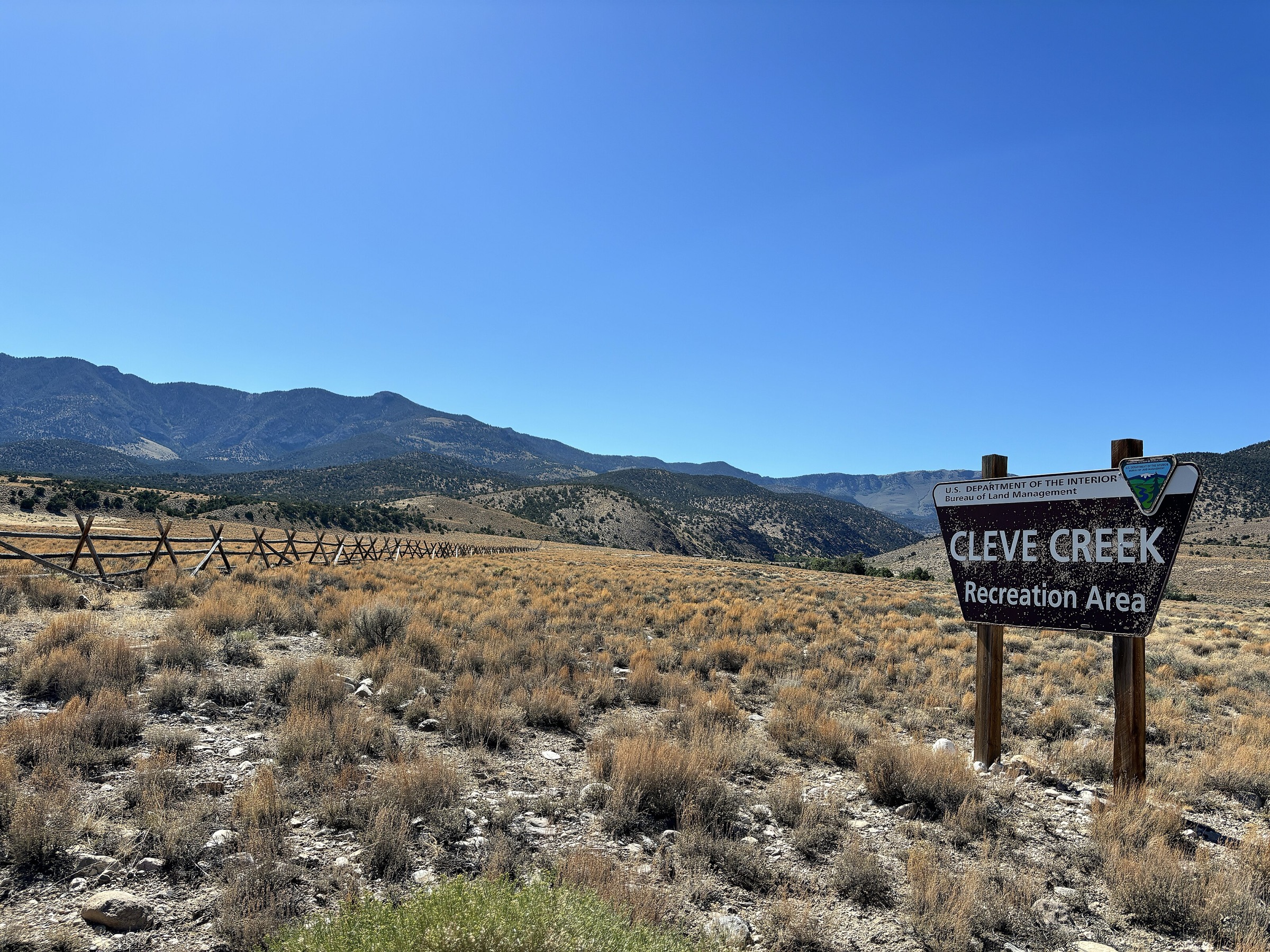
Follow the official North Fork Cleve Creek Trail north along North Fork Cleve Creek until the trail ends in the drainage, then return by the same route. The USFS places the route on the east side of the High Schells Wilderness near Ely.
Why it is essential
This is the longer verified east-side creek-canyon day hike in the High Schells Wilderness set.
Equipment
- Offline map and GPS
- 2.5–3 L water or water treatment
- Sun protection
- Layers
- Sturdy footwear
Hazards and notes
- Remote canyon travel with possible faint or obstructed tread.
- Creekside conditions may vary seasonally.
- Wilderness restrictions on motorised and mechanised transport.
GPX / route file
| Source | URL | Format | Notes |
|---|---|---|---|
| USFS — North Fork Cleve Creek Trail | fs.usda.gov | Web page | Official description, start-road reference and mileage |
| USFS TrailNFS — North Fork Cleve Creek Trail #19074 | apps.fs.usda.gov | GeoJSON | USDA Forest Service data; cite provenance if reused |
Sources
5. Cleve Creek Baldy Trail
Snapshot
Itinerary
Follow the official Cleve Creek Baldy Trail from the Water Canyon / Forest boundary access. The USFS describes the trail as following along Duck Creek, climbing a ridgeline and ending just below Cleve Creek Baldy peak.
Why it is essential
Cleve Creek Baldy gives the catalogue a shorter high-ridge option and a named near-summit objective within the official High Schells trail inventory.
Equipment
- Offline map and GPS
- 1.5–2 L water
- Sun protection
- Wind and rain layer
- Sturdy footwear
Hazards and notes
- Ridge weather with wind and possible lightning.
- Steep grades on a short trail.
- Remote access — exact trailhead coordinate unresolved.
- Wilderness restrictions where applicable.
GPX / route file
| Source | URL | Format | Notes |
|---|---|---|---|
| USFS — Cleve Creek Baldy Trail | fs.usda.gov | Web page | Official description, distance and endpoint |
| USFS TrailNFS — Cleve Creek Baldy Trail #19424 | apps.fs.usda.gov | GeoJSON | USDA Forest Service data; cite provenance if reused |
Sources
Region-level sources
| Source | URL |
|---|---|
| Nevada State Parks — Cave Lake | parks.nv.gov |
| USFS — Berry Creek Trail, Humboldt-Toiyabe NF | fs.usda.gov |
| USFS — North Fork Cleve Creek Trail, Humboldt-Toiyabe NF | fs.usda.gov |
| USFS — Cleve Creek Baldy Trail, Humboldt-Toiyabe NF | fs.usda.gov |
| USFS — Taft Creek Trail (alternate not selected) | fs.usda.gov |
| SummitPost — North Schell Peak overview | summitpost.org |
| SummitPost — Timber Creek route | summitpost.org |
| USFS TrailNFS ArcGIS service | apps.fs.usda.gov |
| Wikimedia Commons — Cave Lake image | commons.wikimedia.org |
| Wikimedia Commons — North Schell Peak image | commons.wikimedia.org |
| Wikimedia Commons — Schell Creek Range image | commons.wikimedia.org |
Further reading
- Toquima Range — essential day-hikes — the neighbouring Great Basin range further west in central Nevada
Missing data / follow-up work
- No downloadable GPX / KML was retrieved for North Schell Peak or Cave Lake State Park routes; official USFS TrailNFS GeoJSON is listed for the three Humboldt-Toiyabe wilderness trails and can be reused with citation, subject to final terms confirmation.
- Elevation gain / loss and maximum elevation are unresolved for four of the five hikes; only North Schell Peak has a published gain figure.
- Route-specific photos for LCGS Russ’s North Schell Peak (899 × 586 px) and Schell Creek Range (600 × 900 px) images on Wikimedia Commons are below the article’s 2,400 px source floor and are not shipped; both remain listed under region-level sources.
- Exact trailhead coordinates for the Timber Creek / FR 425 start, the Water Canyon start of Cleve Creek Baldy, and the Cleve Creek Road start need field or map confirmation.
- Cave Lake Overlook Trail vs. USFS Cave Lake Loop #19125 equivalence needs cross-checking before using the TrailNFS geometry as the final route file.