Regional overview
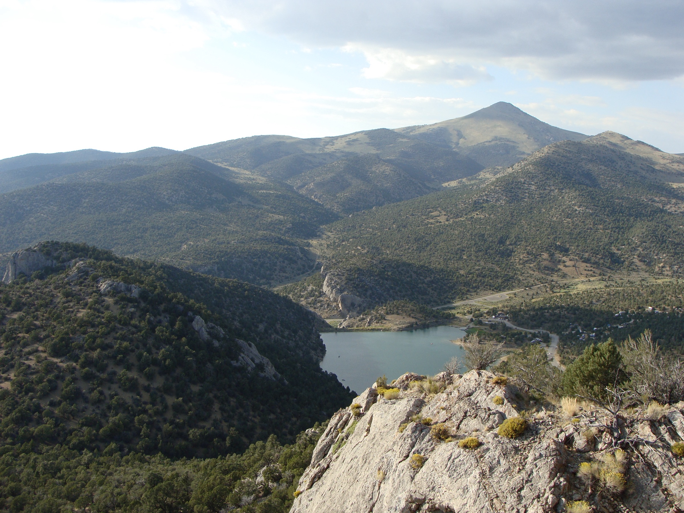
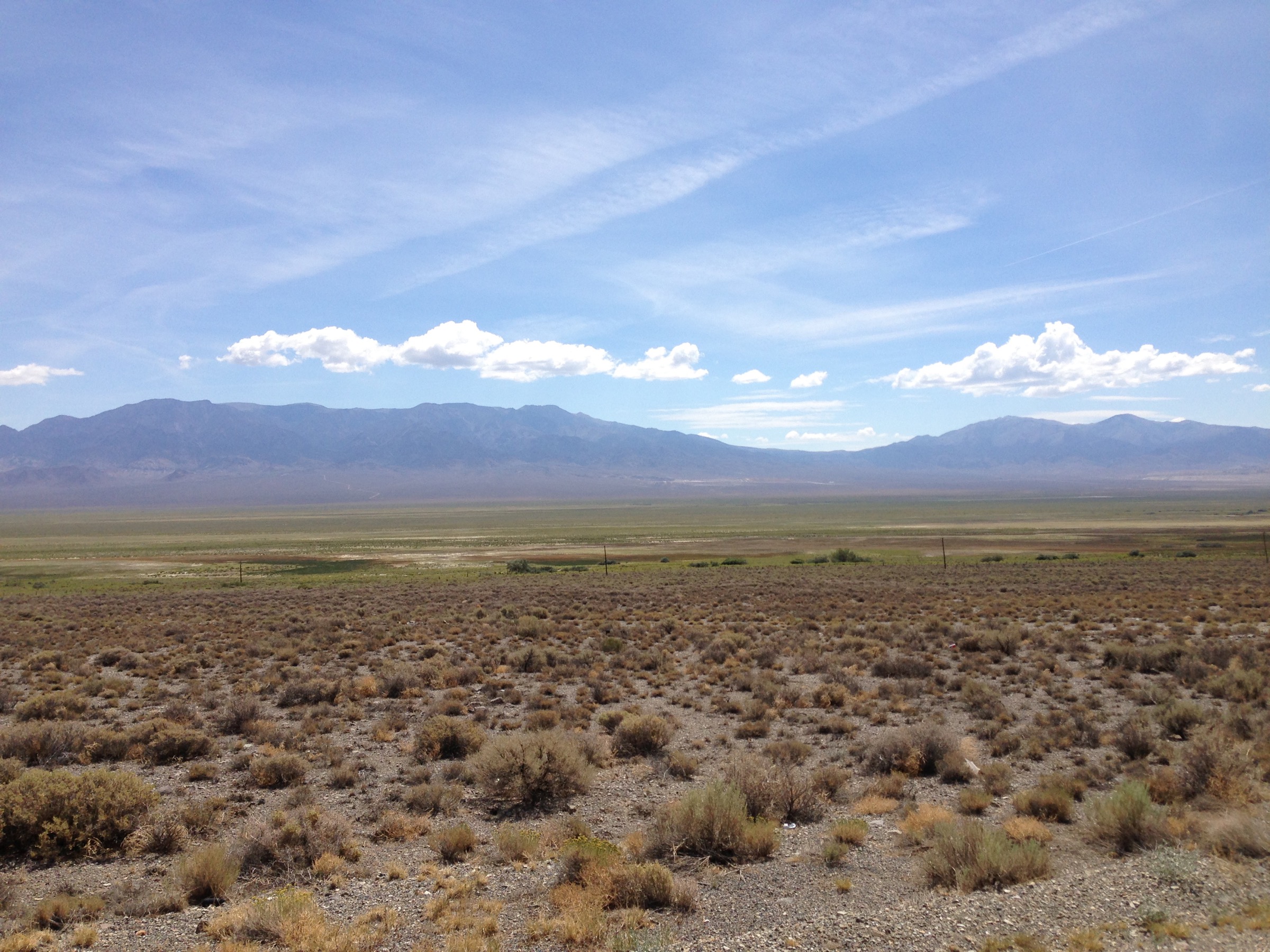
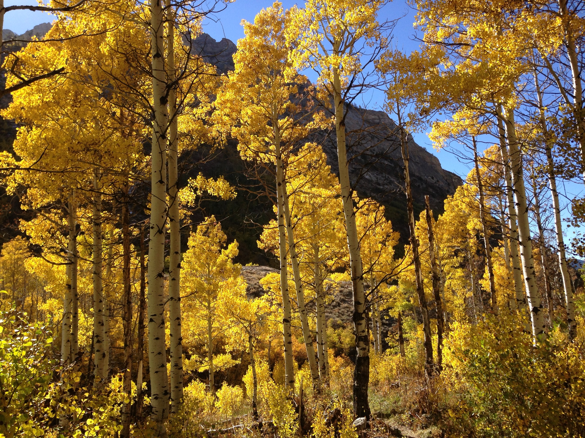
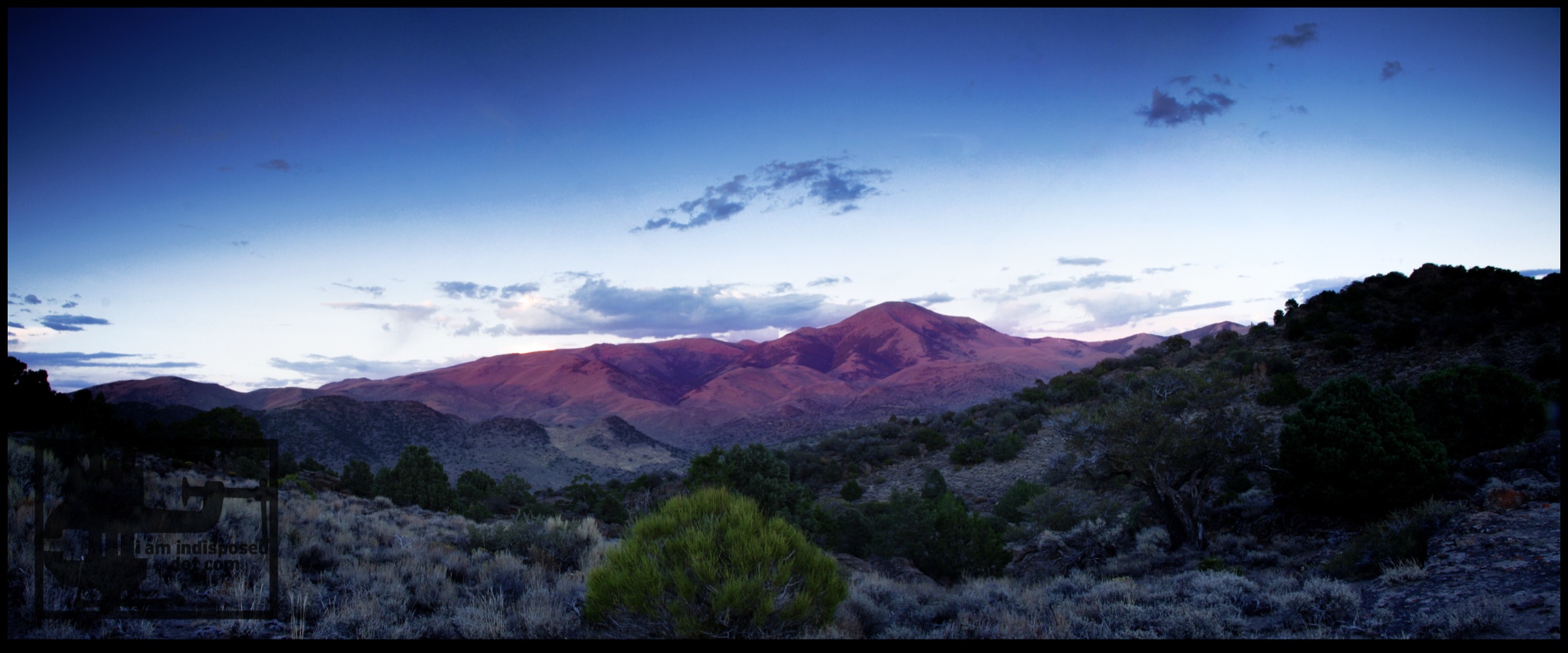
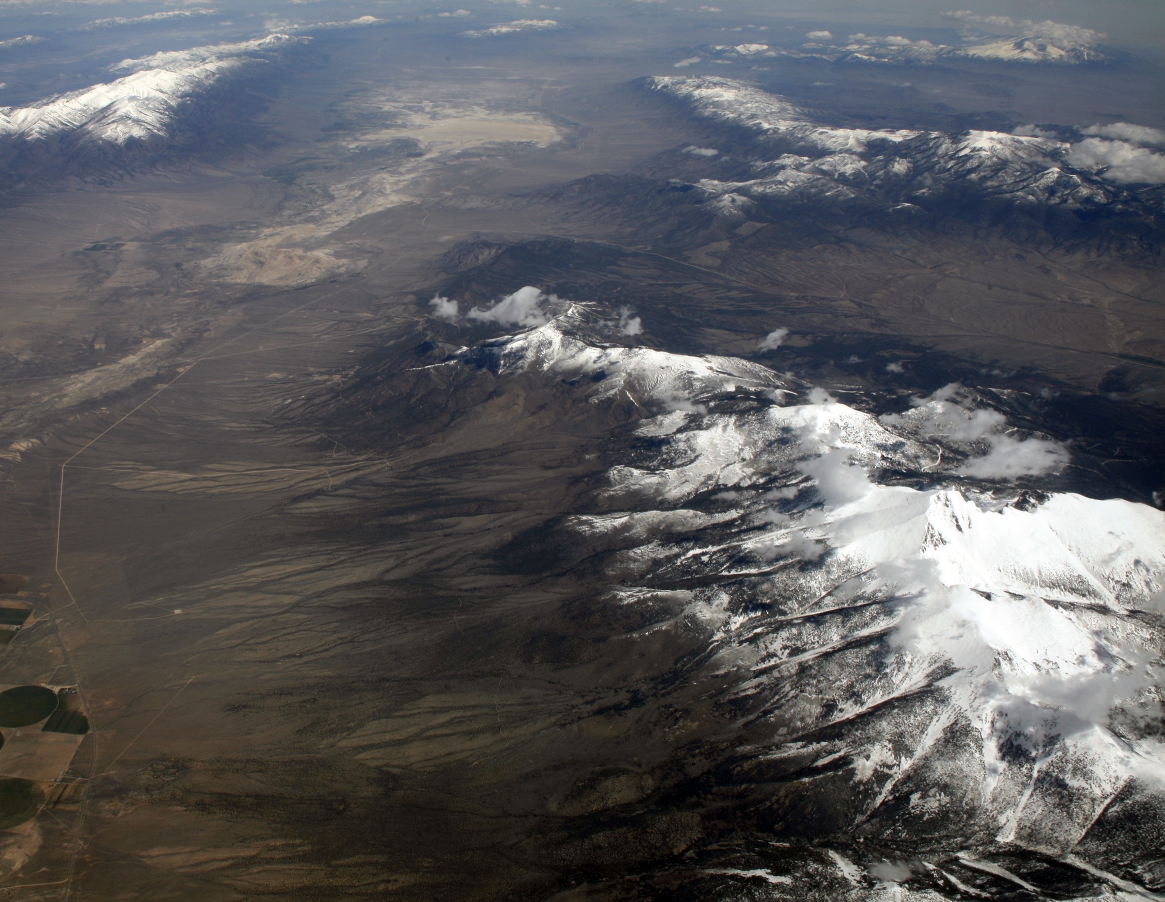
The Snake Range rises abruptly from the Great Basin desert to bristlecone-pine groves, glacial cirques, alpine lakes, limestone features, and Wheeler Peak — at 3,982 m (13,065 ft) one of the highest summits in Nevada. Its hiking centre is the small town of Baker on US-6/50, and the paved Wheeler Peak Scenic Drive gives unusually high trailhead access to several of Great Basin National Park’s signature routes. Other areas — Baker Creek, Snake Creek, Strawberry Creek and Lexington Arch — use gravel or rough roads.
The park’s official hiking page notes that only trails off the Wheeler Peak Scenic Drive are reached by paved road; other trailheads require gravel-road or four-wheel-drive approaches. It also warns that many trails climb above 3,050 m (10,000 ft), that altitude sickness is a real risk for unacclimatised visitors, that pets are prohibited on park trails except for Lexington Arch and the Baker–Great Basin Visitor Center trail, and that summer afternoon thunderstorms are common.
Official conditions checked on 2026-07-17 reported all park hiking trails open, Wheeler Peak Scenic Drive open, Baker Creek Road open, Snake Creek Road open, and Lexington Arch Road open but severely washed out — vehicles are parking about 1 mile before the official trailhead. The same page listed Stage II Fire Restrictions in effect at the park and warned that high-elevation hikers should be prepared for rain, hail, or snow at any time of year.
Selection rationale
The five routes cover the park’s essential day-hike range: Wheeler Peak for the region’s headline summit, the Bristlecone Pine and Glacier Trail for ancient trees and glacial cirque terrain, the Alpine Lakes Loop for the compact high-country classic, Baker Lake for a longer backcountry lake day on the quieter Baker Creek side, and Lexington Arch for the park’s lower limestone-arch landscape and its one dog-permitted trail.
Summary
| # | Hike | Country | Route type | Distance | Gain | Max elevation | Difficulty |
|---|---|---|---|---|---|---|---|
| 1 | Wheeler Peak Summit Trail | USA | Out-and-back | 14.0 km | 889 m | 3,980 m | Hard |
| 2 | Bristlecone Pine and Glacier Trail | USA | Out-and-back | 6.3 km | 242 m | 3,251 m | Hard |
| 3 | Alpine Lakes Loop | USA | Loop | 4.3 km | 145 m | 3,180 m | Moderate |
| 4 | Baker Lake Trail | USA | Out-and-back | 17.9 km | 801 m | 3,238 m | Hard |
| 5 | Lexington Arch Trail | USA | Out-and-back | 8.9 km (plus current road-walk add-on) | 401 m | 2,577 m | Moderate |
1. Wheeler Peak Summit Trail
Snapshot
Photo status: no licence-compatible image of Wheeler Peak was placed in this pass.
Itinerary
From the Summit Trailhead near the top of Wheeler Peak Scenic Drive, the route climbs above the subalpine forest onto increasingly open and exposed slopes. It follows the maintained Summit Trail toward Wheeler Peak, with broad views over the Snake Range, the Great Basin valleys, and the cirque below the Wheeler headwall. Return by the same trail.
Why it is essential
Wheeler Peak is the signature summit of Great Basin National Park and the Snake Range. The hike is non-technical in normal summer conditions, but it reaches very high altitude for Nevada — making it the region’s defining strenuous day-hike.
Equipment
- Mountain hiking equipment; sturdy footwear and trekking poles.
- 2–3 L water capacity; there is no reliable water high on the route.
- Warm layer, waterproof shell, sun protection, food.
- Navigation backup and headtorch.
- In snow or ice this becomes a more serious mountain route and may require winter equipment.
Hazards and notes
- High altitude and rapid weather changes. The NPS warns that many park trails exceed 3,050 m, and altitude sickness, rain, hail or snow can occur at any time of year at these elevations.
- Strong wind, lightning exposure and sun exposure on the open upper slopes.
- Dogs are not allowed on this trail.
- Fires are prohibited under current Stage II Fire Restrictions, and fires are never allowed above 3,050 m in the park.
Routes and maps
| Source | URL | Format / access | Reuse status |
|---|---|---|---|
| AllTrails — Wheeler Peak Summit Trail | alltrails.com | Source route map | AllTrails terms; reference only |
| NPS — Wheeler Peak Scenic Drive trails | nps.gov | Official trailhead/area page | Public information; no GPX exposed |
| NPS — Great Basin maps | nps.gov | Official map page/PDF links | Public information |
No official National Park Service GPX or KML was found for this route.
Further reading
2. Bristlecone Pine and Glacier Trail
Snapshot
Itinerary
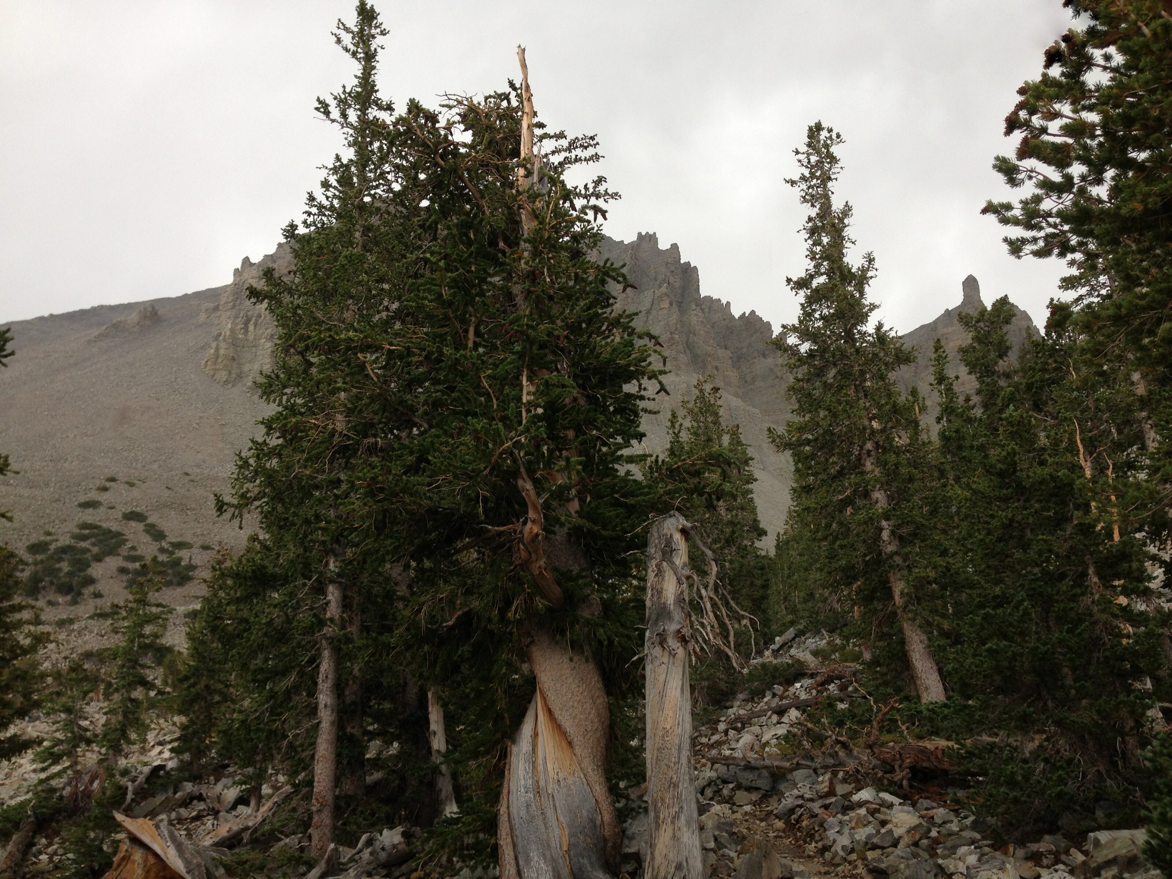
From the Bristlecone Parking Area at the head of the Scenic Drive, the trail enters the ancient bristlecone pine grove beneath Wheeler Peak. The glacier extension continues past the interpretive grove into rougher, rockier cirque terrain toward views of the small rock-and-ice glacier below the Wheeler Peak headwall — the southernmost rock glacier of its type in the United States. Return by the same route.
Why it is essential
This is Great Basin National Park’s most distinctive short high-country hike: ancient bristlecone pines, glacial landforms, alpine rock and a close view beneath Wheeler Peak, all in a compact route from a paved trailhead.
Equipment
- Standard-to-mountain hiking equipment; sturdy footwear for rocky sections.
- Sun protection, warm layer, waterproof shell, water, food, offline map.
- Trekking poles are useful on the rocky glacier extension.
Hazards and notes
- Altitude, exposure, rocky footing, lingering snow, and sudden storms are the main hazards.
- AllTrails notes rocky glacial terrain and no dogs.
- The NPS hiking page warns that afternoon thunderstorms are common in summer and that navigation can be difficult in winter.
Routes and maps
| Source | URL | Format / access | Reuse status |
|---|---|---|---|
| AllTrails — Bristlecone Pine and Glacier Trail | alltrails.com | Source route map | AllTrails terms; reference only |
| NPS — Wheeler Peak Scenic Drive trails | nps.gov | Official trailhead/area page | Public information; no GPX exposed |
No official National Park Service GPX or KML was found for this route.
Further reading
3. Alpine Lakes Loop
Snapshot
Itinerary
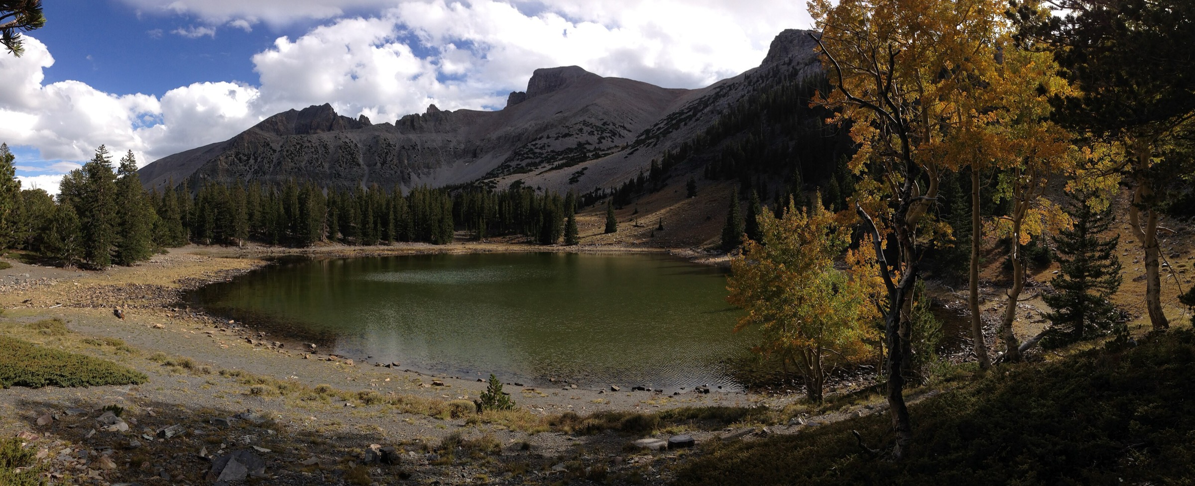
The loop starts near the top of Wheeler Peak Scenic Drive and links Stella Lake and Teresa Lake beneath Wheeler Peak. It climbs through subalpine forest to shallow glacially formed lakes, then circles back to the trailhead. It can be combined with the Bristlecone or Glacier trails for a longer day.
Why it is essential
Alpine Lakes Loop is the short classic high-elevation walk in Great Basin National Park. It gives lake, forest and Wheeler Peak scenery in a compact loop, and it is the natural first choice for visitors with limited time or those still acclimatising to altitude.
Equipment
- Standard hiking equipment; warm layer and waterproof shell.
- Sun protection, water, food, and an offline map.
- Children can complete the route in normal conditions, but altitude and weather still matter.
Hazards and notes
- Altitude, rocky path sections, summer crowds, and sudden storms are the main issues.
- Dogs are not allowed.
- The NPS notes that winter trails may be covered by several feet of snow and that winter navigation can be difficult.
Routes and maps
| Source | URL | Format / access | Reuse status |
|---|---|---|---|
| AllTrails — Alpine Lakes Loop | alltrails.com | Source route map | AllTrails terms; reference only |
| NPS — Wheeler Peak Scenic Drive trails | nps.gov | Official trailhead/area page | Public information; no GPX exposed |
No official National Park Service GPX or KML was found for this route.
Further reading
4. Baker Lake Trail
Snapshot
Photo status: no licence-compatible image was placed in this pass.
Itinerary
From the Baker Creek area, the trail follows Baker Creek through riparian forest and meadows toward Baker Lake at the head of the drainage. The upper route opens into high alpine terrain below the Snake Range crest. Return by the same trail.
Why it is essential
Baker Lake is the park’s major long day-hike lake objective away from the paved Scenic Drive. It represents the quieter Baker Creek side of Great Basin National Park and offers a more committing high-basin day than the short Wheeler Peak Scenic Drive loops.
Equipment
- Mountain hiking equipment; sturdy footwear, trekking poles, headtorch, and navigation backup.
- Water, food, warm layer, waterproof shell, sun protection.
- Insect protection at the lake in early summer.
Hazards and notes
- Long high-elevation day with snow risk, water crossings or wet ground, sun exposure, and limited bail-out options.
- The AllTrails record notes that overnight camping at Baker or Johnson Lake requires a permit from park visitor centres; no permit is required for a day-hike.
- Dogs are not allowed on this trail.
- Stage II Fire Restrictions were in effect at the time of writing; fires are never allowed above 3,050 m.
Routes and maps
| Source | URL | Format / access | Reuse status |
|---|---|---|---|
| AllTrails — Baker Lake Trail | alltrails.com | Source route map | AllTrails terms; reference only |
| NPS — Baker Creek trails | nps.gov | Official area/trailhead page | Public information; no GPX exposed |
| NPS — Great Basin current conditions | nps.gov | Road and trail status | Public information |
No official National Park Service GPX or KML was found for this route.
Further reading
5. Lexington Arch Trail
Snapshot
Photo status: no licence-compatible image was placed in this pass.
Itinerary
From the Lexington Arch access, the trail climbs through a dry lower-elevation landscape to the large limestone arch — an unusual feature in this range, since natural arches more often form in sandstone. The route is a straight out-and-back with a rocky final approach, and it gives wide views over the remote southern part of the park.
Why it is essential
Lexington Arch gives this catalogue its lower, drier, geologic route rather than another alpine lake or summit. It is also the park’s important pet-rule exception: the NPS hiking page states that pets are not allowed on park trails except Lexington Arch and the Baker–Great Basin Visitor Center trail.
Equipment
- Standard hiking equipment; sturdy footwear.
- Sun protection, extra water, food, navigation backup.
- A vehicle plan suitable for rough dirt roads.
- Leash for dogs if bringing them.
Hazards and notes
- The access road is the key issue. NPS current conditions on 2026-07-17 state that Lexington Arch Road is severely washed out, high-clearance four-wheel drive is recommended year-round, and vehicles must park approximately 1 mile before the official parking area.
- The trail has rocky footing, heat exposure and limited shade.
- Dogs are allowed on leash — the exception, not the rule, for park trails.
Routes and maps
| Source | URL | Format / access | Reuse status |
|---|---|---|---|
| AllTrails — Lexington Arch Trail | alltrails.com | Source route map | AllTrails terms; reference only |
| NPS — Great Basin current conditions | nps.gov | Official access status | Public information; no GPX exposed |
| NPS — pets | nps.gov | Official pet-access rules | Public information |
No official National Park Service GPX or KML was found for this route.
Further reading
Practical notes
Permits. No day-use permit is required for any of the five hikes. Overnight backcountry camping at Baker Lake or Johnson Lake requires a permit from park visitor centres.
Fire. Stage II Fire Restrictions were in effect at the time of writing on 2026-07-17. Fires are never allowed above 3,050 m in the park. Check the alerts page on the day of travel.
Pets. Dogs are prohibited on park trails with the sole exception of Lexington Arch and the Baker–Great Basin Visitor Center trail.
Altitude. Four of the five hikes reach above 3,050 m and Wheeler Peak reaches close to 4,000 m. Give unacclimatised visitors time before attempting Wheeler Peak, and turn round for headaches, nausea or breathing difficulty.
Weather. Summer afternoon thunderstorms are common. High-elevation hikers should be prepared for rain, hail or snow at any time of year.
Roads. Only Wheeler Peak Scenic Drive is paved. Baker Creek Road, Snake Creek Road and Lexington Arch Road are gravel or worse; on 2026-07-17 the Lexington Arch Road was severely washed out. Re-check road status on the day of travel.
Further reading
| Source | URL |
|---|---|
| NPS — Great Basin National Park | nps.gov |
| NPS — Great Basin current conditions | nps.gov |
| NPS — Great Basin hiking information | nps.gov |
| NPS — Great Basin maps | nps.gov |
| NPS — Wheeler Peak Scenic Drive trails | nps.gov |
| NPS — Baker Creek trails | nps.gov |
| NPS — Snake Creek trails | nps.gov |
| NPS — Great Basin pets | nps.gov |
| Wikipedia — Wheeler Peak (Nevada) | en.wikipedia.org |
| Wikipedia — Wheeler Peak Glacier | en.wikipedia.org |
| Wikipedia — Stella Lake | en.wikipedia.org |
Missing data / follow-up work
- No official National Park Service GPX or KML was found for any of the five routes. Redistributable tracks would need to be reconstructed from OpenStreetMap or first-party field survey.
- No licence-compatible route photographs were verified in this pass for any of the five hikes. NPS and trail-database images should not be reused unless their specific reuse terms are confirmed.
- Lexington Arch approach distance depends on the washed-out road and where vehicles are forced to park; the published trail distance does not include the added road walk.
- Elevation loss is inferred from route geometry rather than independently published.
- Public transport access was not verified for any selected hike; the region is served effectively only by private vehicle.
- Fire-restriction status was recorded on 2026-07-17 and should be re-checked on the day of travel via the NPS current-conditions page.