Regional overview
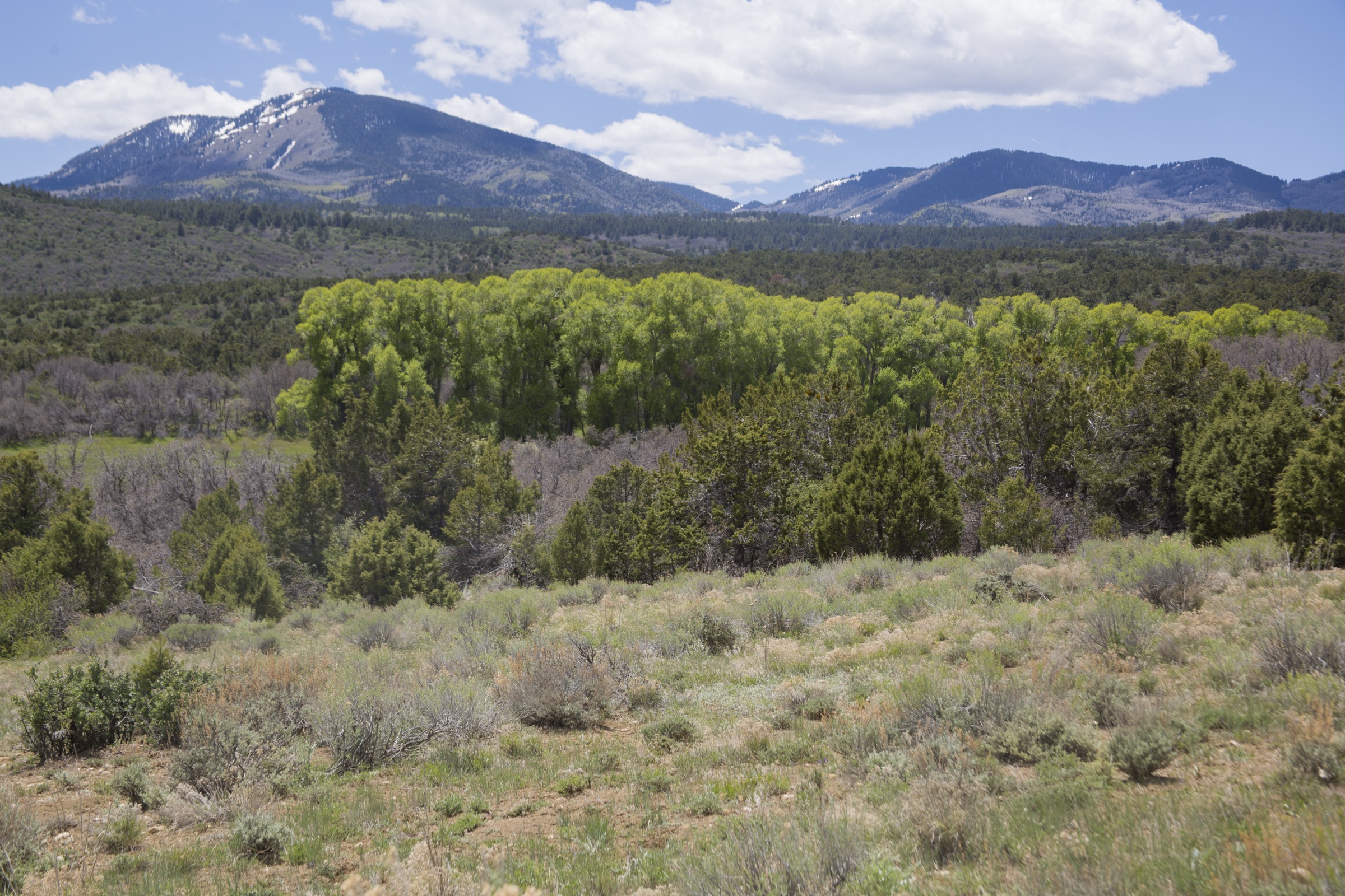
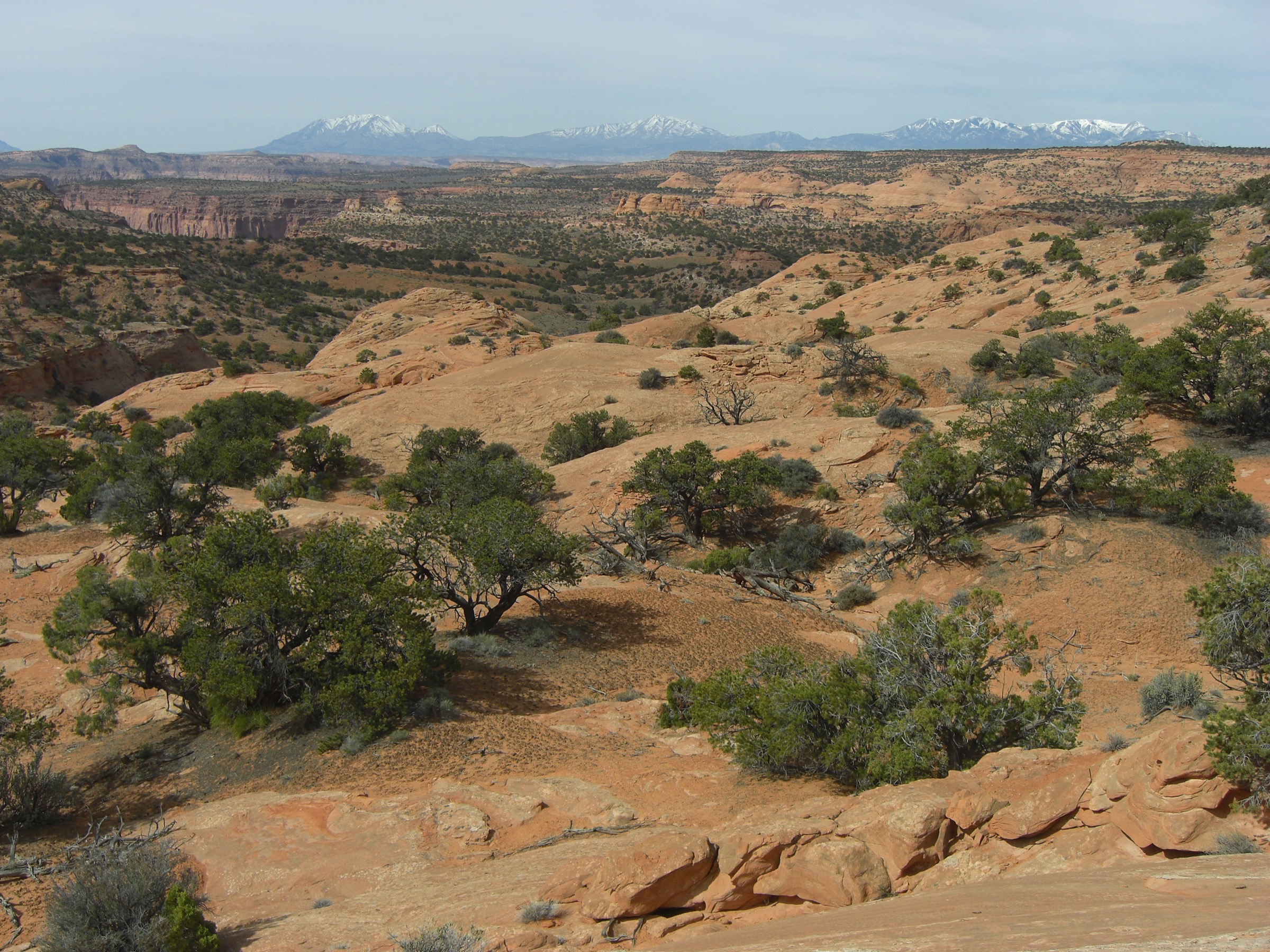
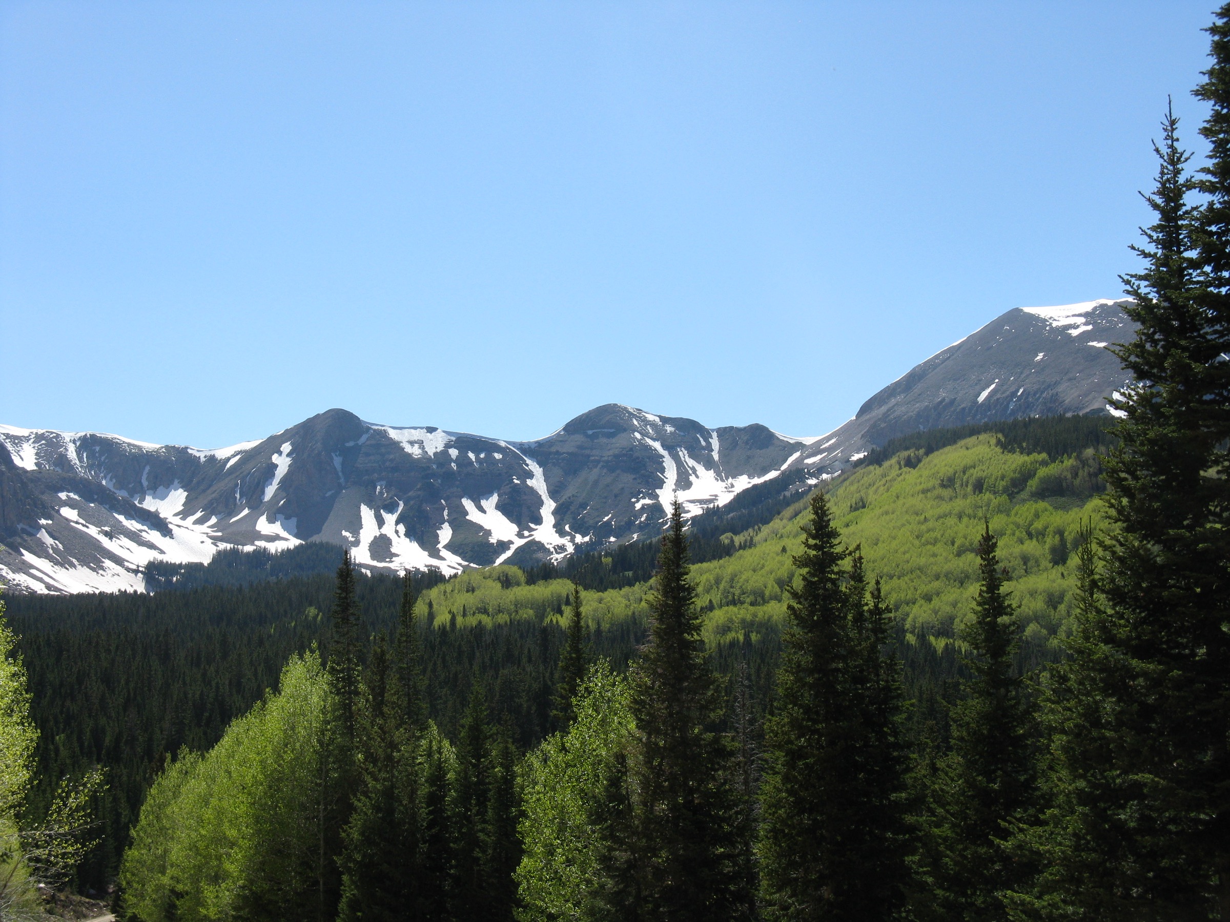
Boulder Mountain is the high, lake-dotted northern half of the Aquarius Plateau, west of Capitol Reef National Park and above the towns of Boulder, Torrey and Escalante in southern Utah. Its day-hiking character is completely different from the red-rock canyons below: subalpine spruce and fir forest, aspen groves, wet meadows, willow flats, hundreds of small fishing lakes, muddy and rutted forest roads, and short-to-moderate lake trails at roughly 2,750–3,200 m (9,000–10,500 ft). This is one of the largest high-elevation plateaus in North America and the coolest, wettest walking country in the region — a sky-island of high forest above the Colorado Plateau desert.
Almost all of the walking here sits inside the Dixie National Forest (Fremont River Ranger District). The Forest Service advises checking Dixie NF current conditions before travel; its maps-and-guides page points users to visitor maps, Motor Vehicle Use Maps (MVUMs) and Avenza / USGS digital sources. Utah Division of Wildlife Resources identifies Boulder Mountain as a major Blue Ribbon fishery with dozens of high lakes; route geometry in this pass rests mainly on AllTrails because official trail-stat pages were not located.
The reliable walking season is mid-July through September. Even in July, the forest roads can be muddy or rutted after late-summer thunderstorms, and snow and mud gate the shoulder-season access. The dominant summer risks are afternoon lightning on the exposed plateau meadows, cold rain, mosquitoes and biting flies in the wet basins, and easy navigation error on trails that fade in the meadow lake country. Mobile-phone coverage is intermittent to non-existent.
See also: La Sal Mountains, Utah · Henry Mountains, Utah.
Selection rationale
The five walks below focus on Boulder Mountain’s essential high-lake identity. Blind Lake is the largest and deepest lake on the mountain and the defining single objective. The Blind Lake–Pear Lake–Fish Creek Lake chain is the most compact multi-lake sampler. Deer Creek Lake anchors the mid-plateau lake network. The Deer Creek Lake to Chriss Lake Loop is the natural longer-loop day. East Boulder Creek to Grassy Lake rounds out the set with a creek-drainage route from a different corner of the mountain. Together they cover the fishing lakes, forest walking, meadow travel and accessible high-country routes without duplicating the desert-canyon selections elsewhere in the Aquarius Plateau catalogue.
Summary table
| # | Hike | Country | Route type | Distance | Gain | Max elevation | Difficulty |
|---|---|---|---|---|---|---|---|
| 1 | Blind Lake Trail | USA | Out-and-back | 11.4 km | 491 m | ~3,124 m at Blind Lake | Moderate |
| 2 | Blind Lake, Pear Lake and Fish Creek Lake | USA | Out-and-back | 9.5 km | 278 m | Not verified | Moderate |
| 3 | Deer Creek Lake | USA | Out-and-back | 9.3 km | 264 m | Not verified | Moderate |
| 4 | Deer Creek Lake to Chriss Lake Loop | USA | Loop | 14.0 km | 423 m | Not verified | Moderate |
| 5 | East Boulder Creek Trail to Grassy Lake | USA | Out-and-back | 7.1 km | 283 m | Not verified | Moderate |
1. Blind Lake Trail
Snapshot
Itinerary
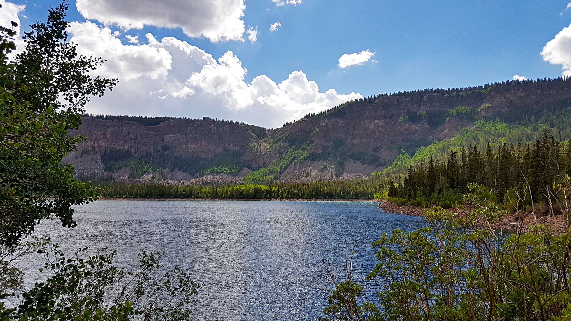
From the Blind Lake trail access, follow the marked trail through Boulder Mountain forest and meadow terrain toward the lake basin. Blind Lake is the largest and deepest lake on Boulder Mountain and a central node in the plateau’s high-country fishery. Return by the same route.
Why it is essential
Blind Lake is the defining Boulder Mountain lake objective: large, high, scenic and central to the mountain’s fishing-and-lake identity. It is the single walk that best captures why the Aquarius Plateau is so unusual for southern Utah — a subalpine sky-island of lakes above the desert.
Equipment
- Sturdy hiking shoes
- Rain and wind shell plus a warm layer for high-country weather
- Sun hat, sunscreen and sunglasses
- 2 L water
- Insect repellent in mid-summer
- Offline map and GPS — trails braid in the meadow country
- Trekking poles for muddy sections
Hazards and notes
- Afternoon lightning on the exposed plateau — start early.
- Mud, downed timber and unbridged crossings can persist into July.
- Cold rain and rapid weather changes even in high summer.
- Remote forest-road access; verify current Dixie NF road status.
- Limited or no mobile-phone coverage; carry navigation backup.
GPX / route file
| Source | URL | Format | Notes |
|---|---|---|---|
| AllTrails — Blind Lake | alltrails.com | Web page | Distance and elevation cross-check only — proprietary geometry, do not reuse |
| Dixie National Forest — current conditions | fs.usda.gov | Web page | Verify road and weather status before travel |
Sources
2. Blind Lake, Pear Lake and Fish Creek Lake
Snapshot
Itinerary
Link several Boulder Mountain lakes from the Blind Lake side, reaching Pear Lake and Fish Creek Lake before returning by the same route. The walk samples the dense lake-and-meadow landscape that makes the Aquarius Plateau so unusual in southern Utah.
Why it is essential
This is the representative multi-lake Boulder Mountain hike: compact, scenic and closely tied to the area’s high-country fishery. It shows the plateau’s characteristic pattern of forest, meadow and lake in a single half-day.
Equipment
- Sturdy hiking shoes
- Rain and wind shell plus a warm layer
- Sun protection and 2 L water
- Insect repellent in mid-summer
- Fishing gear if relevant — this is Blue Ribbon water
- Offline map and GPS — trails braid between lakes
Hazards and notes
- Trails braid in the lake basins; navigation error is easy in fog or dusk.
- Muddy, downed-timber and lingering-snow sections early in the season.
- Afternoon lightning on the exposed plateau.
- Cold water and cold rain even in high summer.
GPX / route file
| Source | URL | Format | Notes |
|---|---|---|---|
| AllTrails — Boulder Mountain: Blind, Fish Creek and Pear Lake Loop | alltrails.com | Web page | Distance and elevation cross-check only — proprietary geometry, do not reuse |
| Dixie National Forest — maps and guides | fs.usda.gov | Web page | MVUM and visitor-map sources |
Sources
- AllTrails — Boulder Mountain: Blind, Fish Creek and Pear Lake Loop
- Dixie National Forest — maps and guides
3. Deer Creek Lake
Snapshot
Itinerary
Walk through Boulder Mountain forest and meadow terrain to Deer Creek Lake, a representative high lake on the mid-plateau lake network, then return the same way.
Why it is essential
Deer Creek Lake gives the plateau’s classic moderate lake destination without the longer mileage of the bigger loops. It is a natural half-day introduction to the mountain’s mid-elevation lake character for hikers not carrying fishing kit.
Equipment
- Sturdy hiking shoes
- Rain and wind shell plus a warm layer
- Sun protection and 2 L water
- Insect repellent in mid-summer
- Offline map and GPS
Hazards and notes
- Trails can be faint and muddy in the meadow sections.
- Afternoon thunderstorms and lightning on the exposed plateau.
- Cold water; cold rain even in high summer.
- Limited or no mobile-phone coverage.
GPX / route file
| Source | URL | Format | Notes |
|---|---|---|---|
| AllTrails — Deer Creek Lake | alltrails.com | Web page | Distance and elevation cross-check only — proprietary geometry, do not reuse |
| Dixie National Forest — current conditions | fs.usda.gov | Web page | Verify road and weather status before travel |
Sources
4. Deer Creek Lake to Chriss Lake Loop
Snapshot
Itinerary
Make a loop through the Deer Creek Lake and Chriss Lake side of Boulder Mountain, linking forested lake basins and meadow sections before returning to the starting access.
Why it is essential
This is the best representative longer loop in the Boulder Mountain lake group, adding variety beyond simple out-and-back lake hikes. It is the day out that gives the strongest sense of the plateau’s scale.
Equipment
- Sturdy hiking shoes or boots
- Rain and wind shell plus a warm layer
- Sun protection and 2.5–3 L water
- Full food for a 4-hour day
- Insect repellent in mid-summer
- Offline map and GPS with the loop preloaded — trail junctions between basins are easy to miss
- Headtorch for late finishes
Hazards and notes
- Trail braiding between lake basins; carry a preloaded GPS route.
- Afternoon lightning across the plateau.
- Muddy and boggy sections after storms.
- Remote forest-road access; verify Dixie NF road status.
- Limited or no mobile-phone coverage.
GPX / route file
| Source | URL | Format | Notes |
|---|---|---|---|
| AllTrails — Deer Creek Lake to Chriss Lake Loop | alltrails.com | Web page | Distance and elevation cross-check only — proprietary geometry, do not reuse |
| Dixie National Forest — maps and guides | fs.usda.gov | Web page | MVUM and visitor-map sources |
Sources
5. East Boulder Creek Trail to Grassy Lake
Snapshot
Itinerary
Follow East Boulder Creek through forested high-country terrain to Grassy Lake and return by the same route.
Why it is essential
The route rounds out the Boulder Mountain selection with a creek-and-lake hike from a different drainage, less centred on the Blind Lake / Deer Creek cluster. It is the shortest of the selected day-hikes and the natural pick if the plateau roads are slow going.
Equipment
- Sturdy hiking shoes
- Rain and wind shell plus a warm layer
- Sun protection and 2 L water
- Insect repellent in mid-summer
- Offline map and GPS
Hazards and notes
- Wet and muddy tread along the creek corridor.
- Remote road access — verify Dixie NF road status.
- Afternoon thunderstorms and lightning on the plateau.
- Limited or no mobile-phone coverage.
GPX / route file
| Source | URL | Format | Notes |
|---|---|---|---|
| AllTrails — East Boulder Creek Trail to Grassy Lake | alltrails.com | Web page | Distance and elevation cross-check only — proprietary geometry, do not reuse |
| Dixie National Forest — current conditions | fs.usda.gov | Web page | Verify road and weather status before travel |
Sources
Routes excluded as out of scope
- Boulder Top rim and cross-plateau traverses — very open, exposed, cairn-navigated routes that are essentially plateau-walking rather than trail hiking; better covered in a dedicated cross-plateau piece.
- Great Western Trail / Boulder Mountain section — a long linear route sitting outside the day-hike envelope.
- Aquarius Plateau canyon routes below the mountain (Sulphur Creek, Escalante headwaters approaches) — treated with the desert-canyon catalogues rather than the high-lake catalogue.
Further reading
- Dixie National Forest — official homepage
- Dixie National Forest — current conditions
- Dixie National Forest — maps and guides
- Utah Division of Wildlife Resources — Fishing Boulder Mountain (PDF)
- Wikipedia — Aquarius Plateau
- Wikipedia — Blind Lake, Utah
Missing data / follow-up work
- No official USFS GPX or KML was retrieved for any of the five routes; route statistics rely on AllTrails structured records checked 2026-07-13.
- Maximum elevations for Blind–Pear–Fish Creek, Deer Creek Lake, the Deer Creek–Chriss Loop and East Boulder Creek to Grassy Lake are not verified in this pass and should be backfilled from USGS quad data or the Dixie NF visitor map.
- Route photography for Pear Lake, Fish Creek Lake, Deer Creek Lake, Chriss Lake and Grassy Lake remains unresolved. Only the Blind Lake open-licence image is available; contributor and license-cleared replacements would strengthen the article.
- Current road status on the Boulder Mountain forest roads and the Blind Lake / Deer Creek / East Boulder Creek trailhead approaches should be verified against the Dixie NF conditions page immediately before travel.
- The Aquarius Plateau canyon-country sister catalogue — Sulphur Creek, Escalante headwaters and the Capitol Reef approach routes — should be linked here once written.