Regional overview
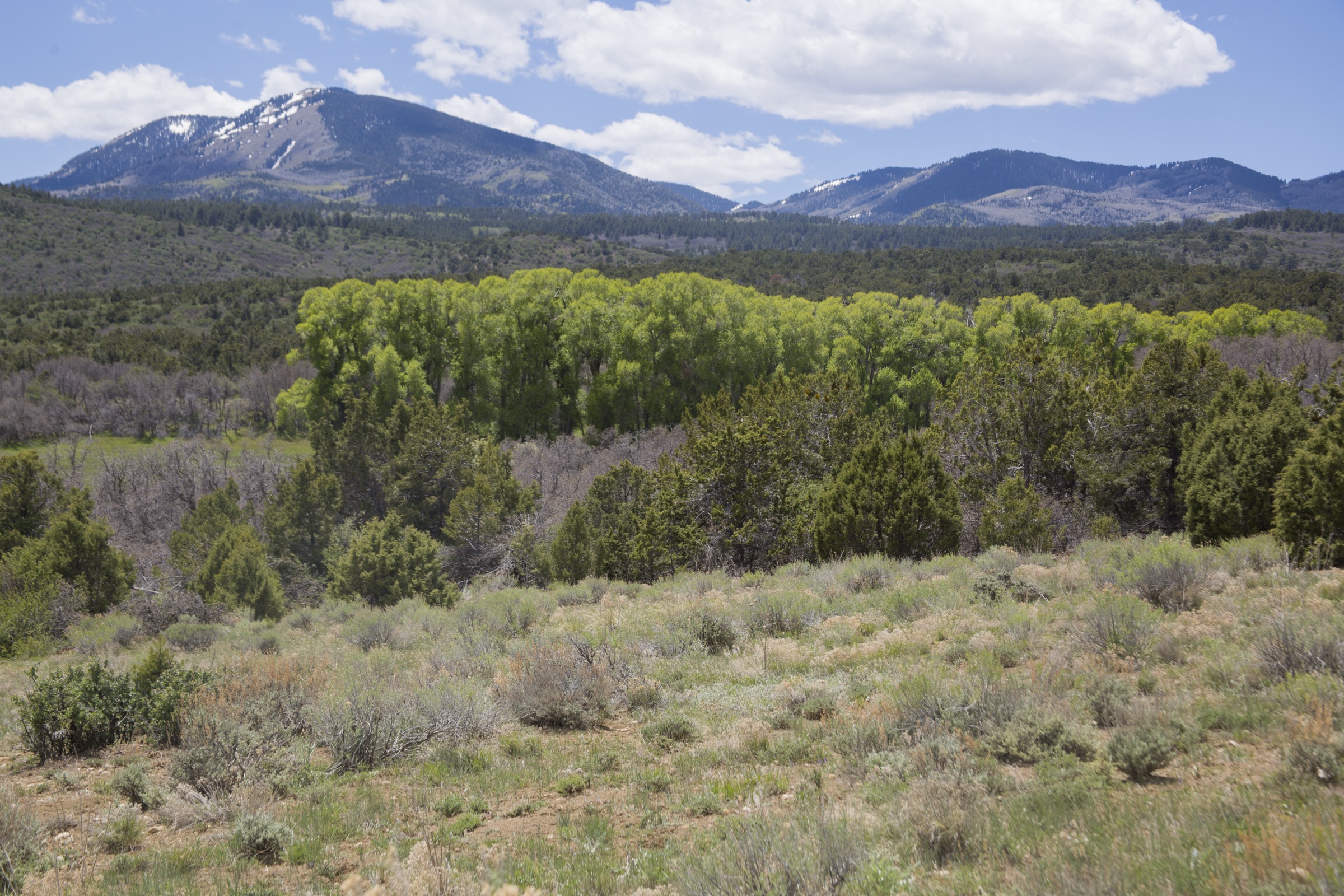
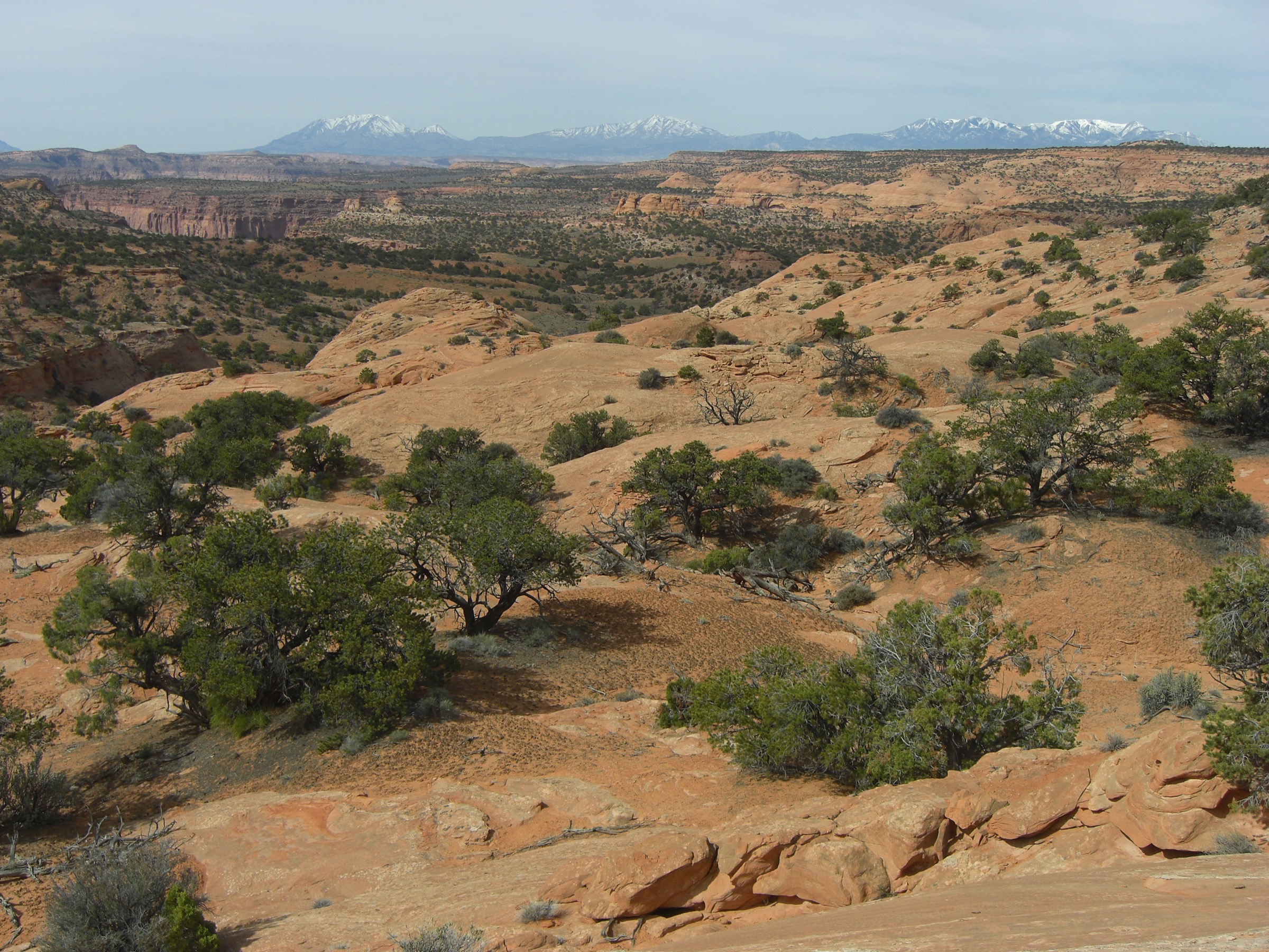
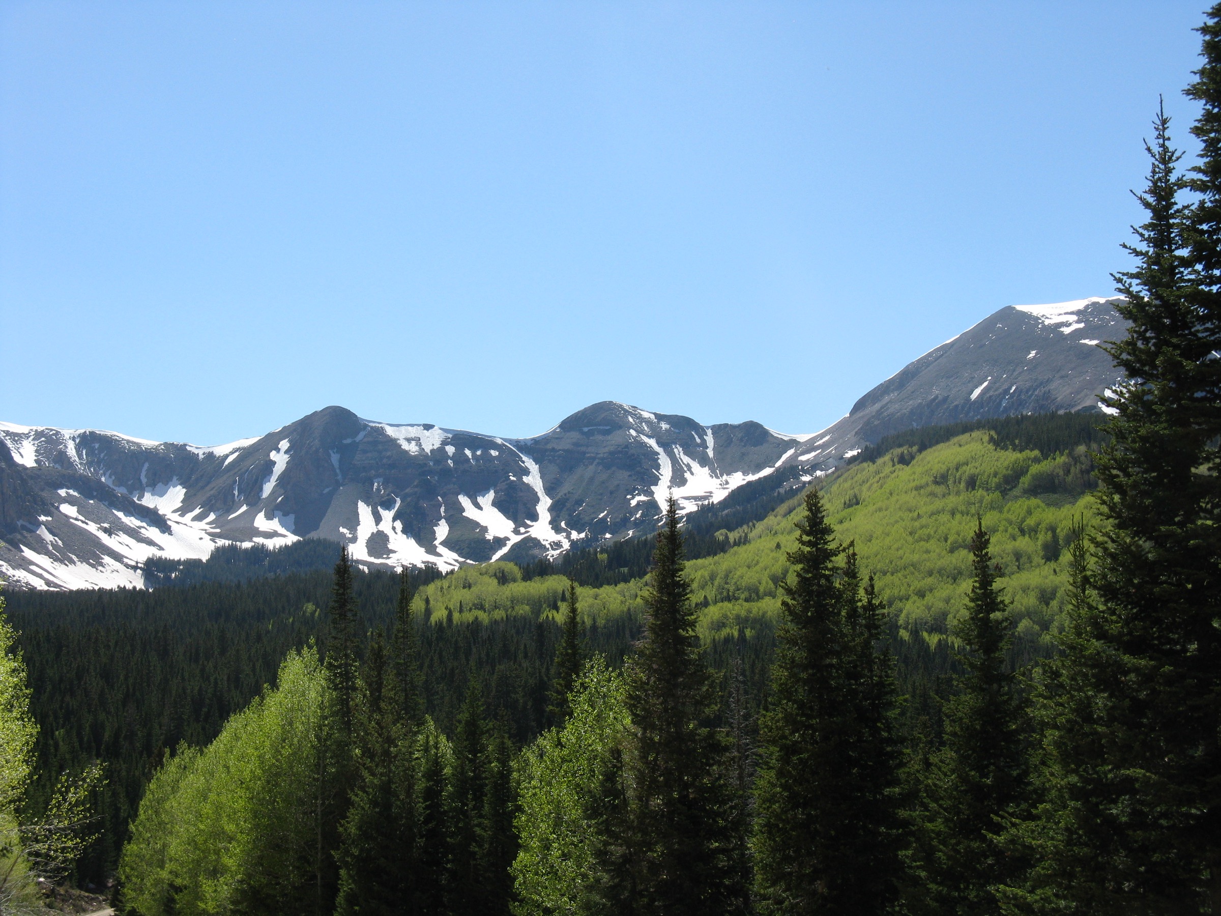
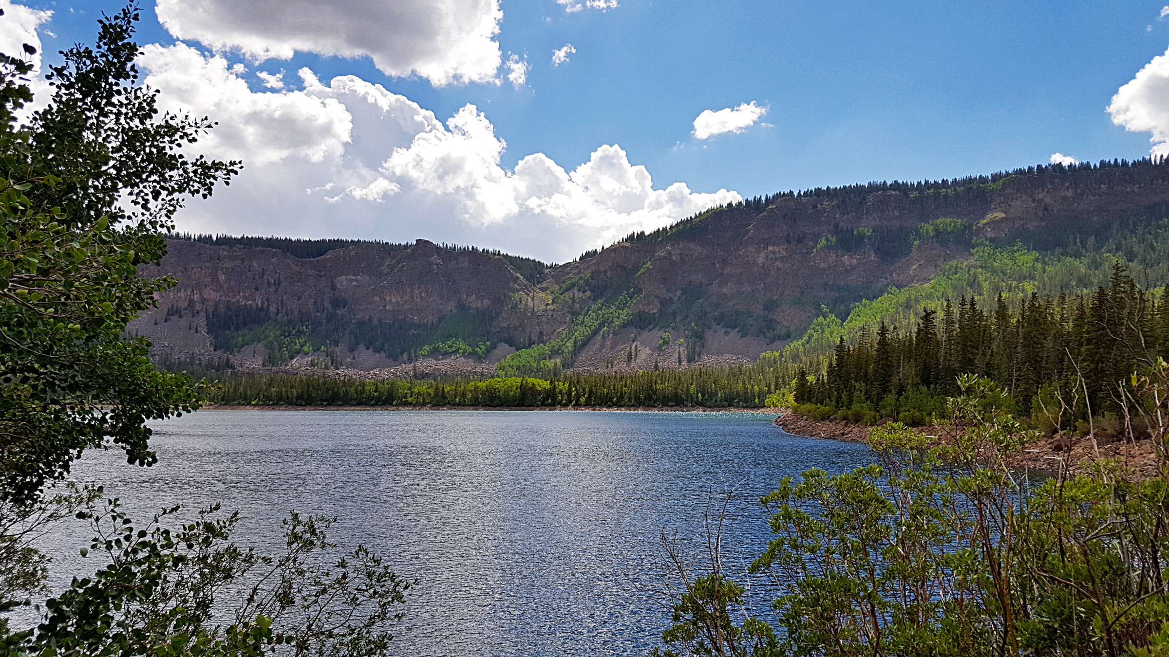
The Aquarius Plateau is a high, forested Colorado Plateau uplift in south-central Utah, tied to Dixie National Forest, Boulder Mountain, Powell Point, the Box-Death Hollow Wilderness and the canyon country around Escalante. Its high tableland sits well above 3,000 m and drops off into the Escalante and Fremont drainages through a series of slickrock escarpments, box canyons and historic overland routes. The plateau’s identity is the collision of two landscapes: subalpine forest and lake country on top, and deep sandstone canyons cut into its southern and eastern margins.
The high-lake heart of the plateau — the Boulder Mountain half — is handled separately in the Boulder Mountain catalogue. This entry focuses on the broader plateau and the canyon-edge classics that define its walking character: Powell Point at the plateau rim, Lower Calf Creek Falls in the Escalante canyon country, the historic Boulder Mail Trail, the wild Death Hollow canyon and the long Pine Creek Box on the Hell’s Backbone side of Box-Death Hollow. The neighbouring Abajo Mountains catalogue covers the next isolated Utah range to the east.
Access to the high plateau is via Dixie National Forest roads that can be muddy, rutted or snow-gated outside summer; the Dixie NF conditions page describes the forest as spanning desert canyon gorges, high mountain forests, plateaus and alpine lakes, and advises checking conditions before travel. The canyon routes — Calf Creek, Boulder Mail, Death Hollow and Pine Creek — are managed variously by the BLM Grand Staircase-Escalante National Monument and the Box-Death Hollow Wilderness side of Dixie NF; the BLM current travel information and safety and conditions pages emphasise flash-flood risk, sparse cell coverage and the need to plan routes carefully.
The reliable canyon-hike season is roughly April to June and September to October, with high summer bringing heat and monsoon thunderstorms. High-plateau access typically opens June or July and closes with the first serious snow in October or November. Sudden storms, water crossings, route-finding on slickrock, and long distances between reliable water are the dominant hazards.
Selection rationale
The five walks below balance the plateau high rim with the canyon systems that drain and define it. Powell Point is the classic high-rim view of the Aquarius. Lower Calf Creek Falls is the best-known perennial-canyon waterfall route on the plateau margin. The Boulder Mail Trail carries the historic overland connection between Boulder and Escalante across the slickrock benches. Death Hollow is the wild, water-cut canyon day. Pine Creek Box rounds out the set with the forested-canyon side of the plateau on the Box-Death Hollow / Hell’s Backbone flank.
Summary table
| # | Hike | Country | Route type | Distance | Gain | Difficulty |
|---|---|---|---|---|---|---|
| 1 | Powell Point Trail | USA | Out-and-back | 14.2 km | 263 m | Moderate |
| 2 | Lower Calf Creek Falls | USA | Out-and-back | 10.0 km | 154 m | Moderate |
| 3 | Boulder Mail Trail | USA | Point-to-point | 24.9 km | 777 m | Hard |
| 4 | Death Hollow | USA | Out-and-back | 21.1 km | 665 m | Hard |
| 5 | Pine Creek Box Trail | USA | Out-and-back | 28.3 km | 435 m | Hard |
1. Powell Point Trail

Snapshot
Itinerary
Follow the Powell Point Trail across high forest and meadow terrain to the Aquarius Plateau rim viewpoint, then return the same way. The overlook faces south over Bryce and the layered stairs of the Grand Staircase.
Why it is essential
Powell Point is the plateau’s classic high overlook: a manageable day-hike that lifts a walker from forest to a broad rim balcony over the canyonlands below.
Equipment
- Sturdy hiking shoes
- Wind and rain shell plus a warm layer
- Sun hat, sunscreen and sunglasses
- 2 L water
- Offline map and GPS
- Vehicle suitable for current forest-road conditions
Hazards and notes
- Remote road access; verify Dixie NF road and weather status.
- Afternoon lightning on the exposed plateau — start early.
- Limited or no mobile-phone coverage.
- Snow, mud and downed timber in the shoulder season.
GPX / route file
| Source | URL | Format | Notes |
|---|---|---|---|
| AllTrails — Powell Point Trail | alltrails.com | Web page | Distance and elevation cross-check only — proprietary geometry, do not reuse |
| Dixie National Forest — current conditions | fs.usda.gov | Web page | Verify road and weather status before travel |
Sources
- AllTrails — Powell Point Trail
- Dixie National Forest — current conditions
- Wikipedia — Aquarius Plateau
2. Lower Calf Creek Falls

Snapshot
Itinerary
Walk upstream through Calf Creek canyon from the recreation site on Scenic Byway 12 to the perennial Lower Falls, then return the same way. The trail is sandy underfoot with intermittent shade along the creek.
Why it is essential
This is the signature accessible waterfall hike on the Aquarius / Escalante margin: canyon walls, riparian shade, water and one of southern Utah’s most photographed falls.
Equipment
- Water — 2 L minimum in warm weather
- Sun hat, sunscreen and sunglasses
- Footwear that copes with sand
- Layered clothing
- Flash-flood and weather check before entry
Hazards and notes
- Heat and radiant sun in summer.
- Flash floods after distant storms in the drainage.
- Slippery rock near the pool at the falls.
- Sparse cell coverage; carry navigation and emergency backup.
- The BLM current travel information page notes the Calf Creek Recreation Site reopened on 27 September 2024.
GPX / route file
| Source | URL | Format | Notes |
|---|---|---|---|
| AllTrails — Lower Calf Creek Falls | alltrails.com | Web page | Distance and elevation cross-check only — proprietary geometry, do not reuse |
| BLM — GSENM current travel information | blm.gov | Web page | Verify site status and closures |
| BLM — GSENM safety and conditions | blm.gov | Web page | Flash-flood and sparse-cell guidance |
Sources
3. Boulder Mail Trail

Snapshot
Itinerary
Follow the historic mail route between Boulder and Escalante across slickrock benches and drainages on the north side of the Escalante canyon country. The route was the overland link between the two settlements before modern roads made the journey easier, and much of the tread still follows the same lines it did then.
Why it is essential
The Boulder Mail Trail is the cultural and historical classic of the region: a full day of slickrock walking that ties two isolated plateau settlements together through canyon country.
Equipment
- Offline map and GPS with the route preloaded
- Water — plan for intermittent sources only
- Sturdy footwear with good slickrock grip
- Sun protection and layered clothing
- Route-finding confidence
- Shuttle plan or a firm turnaround point for an out-and-back segment
- Emergency kit including a headtorch for a late finish
Hazards and notes
- Long exposed sections with limited shade.
- Route-finding on featureless slickrock.
- Intermittent water — plan carefully.
- Flash-flood risk in drainages after distant storms.
- Sparse to no cell coverage.
GPX / route file
| Source | URL | Format | Notes |
|---|---|---|---|
| AllTrails — Boulder Mail Trail | alltrails.com | Web page | Distance and elevation cross-check only — proprietary geometry, do not reuse |
| BLM — GSENM safety and conditions | blm.gov | Web page | Route-planning, water, weather and sparse-cell guidance |
Sources
4. Death Hollow

Snapshot
Itinerary
Use the Boulder Mail / Death Hollow access to reach the canyon system, then descend or explore the canyon to a sensible day-hike turnaround before returning the same way. Water and pool travel depend on the season and recent weather.
Why it is essential
Death Hollow is one of the defining canyon routes on the Aquarius Plateau margin: a wild, water-cut sandstone canyon rather than a roadside viewpoint. It is the day out that most fully captures the character of the plateau’s southern escarpment.
Equipment
- Offline map, GPS and route notes
- Water treatment and containers
- Shoes suitable for wet canyon travel
- Sun protection and layered clothing
- Emergency kit including headtorch
- Flash-flood and weather check before entry
Hazards and notes
- Flash floods after distant storms — do not enter with unsettled weather.
- Pools and water travel depending on conditions.
- Slickrock and canyon route-finding.
- Sparse to no cell coverage.
- Long day; carry a firm turnaround time.
GPX / route file
| Source | URL | Format | Notes |
|---|---|---|---|
| AllTrails — Death Hollow | alltrails.com | Web page | Distance and elevation cross-check only — proprietary geometry, do not reuse |
| BLM — GSENM safety and conditions | blm.gov | Web page | Flash-flood, weather and sparse-cell guidance |
Sources
5. Pine Creek Box Trail
Snapshot
Itinerary
Follow Pine Creek into the box-canyon terrain associated with the Box-Death Hollow Wilderness, turning around according to water, daylight and group energy.
Why it is essential
Pine Creek Box represents the forested-canyon side of the Aquarius Plateau, where high-country streams cut deeply into the sandstone edge of the plateau. It is a longer, quieter counterpart to the busier Escalante-side canyons.
Equipment
- Offline map, GPS and route notes
- Water treatment and containers
- Footwear that copes with creek and canyon travel
- Layered clothing and sun protection
- Emergency kit including headtorch
- Full day-hike food for a 6–7 hour outing
Hazards and notes
- Long mileage — commit only with a fit party and a firm turnaround time.
- Remote road access; verify Dixie NF road status.
- Water crossings and wet footing.
- Flash-flood risk in the canyon after distant storms.
- Limited or no mobile-phone coverage.
GPX / route file
| Source | URL | Format | Notes |
|---|---|---|---|
| AllTrails — The Pine Creek Box Trail | alltrails.com | Web page | Distance and elevation cross-check only — proprietary geometry, do not reuse |
| Dixie National Forest — current conditions | fs.usda.gov | Web page | Verify road, weather and alerts |
| Dixie National Forest — maps and guides | fs.usda.gov | Web page | MVUM and visitor-map sources |
Sources
- AllTrails — The Pine Creek Box Trail
- Dixie National Forest — current conditions
- Dixie National Forest — maps and guides
Routes excluded as out of scope
- Boulder Mountain lake hikes — covered in the separate Boulder Mountain catalogue.
- Escalante River multi-day traverses — long point-to-point canyon backpacks, not day-hikes.
- Boulder Top cross-plateau routes — cairn-navigated plateau walking rather than trail hiking; better handled in a dedicated cross-plateau piece.
Further reading
- Dixie National Forest — official homepage
- Dixie National Forest — current conditions
- Dixie National Forest — maps and guides
- BLM — Grand Staircase-Escalante National Monument
- BLM — GSENM current travel information
- BLM — GSENM safety and conditions
- Wikipedia — Aquarius Plateau
- Boulder Mountain catalogue
- Abajo Mountains catalogue
Missing data / follow-up work
- No official USFS or BLM GPX/KML was retrieved for any of the five routes; route statistics rely on AllTrails structured records checked 2026-07-13.
- Maximum elevations for all five hikes are not verified in this pass and should be backfilled from USGS quad data or the Dixie NF visitor map.
- Powell Point trailhead coordinates and current forest-road status need on-the-ground verification.
- Pine Creek Box has no licence-cleared route photo in this pass; a Wikimedia or contributor image of Box-Death Hollow / Pine Creek would strengthen the article.
- Boulder Mail Trail shuttle logistics and current permit / access status should be re-confirmed on the BLM GSENM travel-information page immediately before travel.