Regional overview
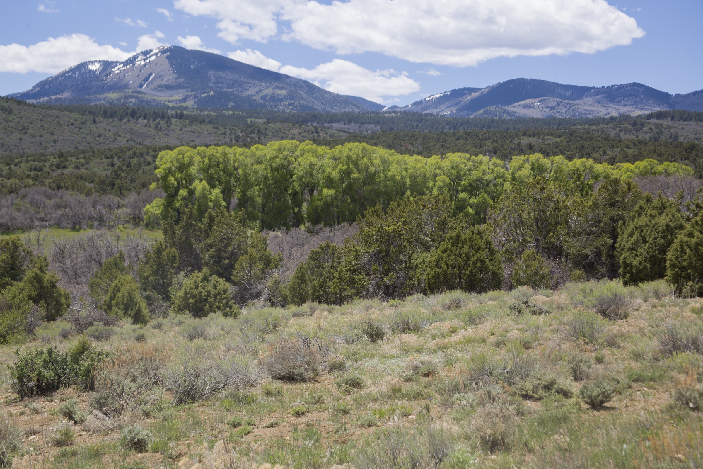
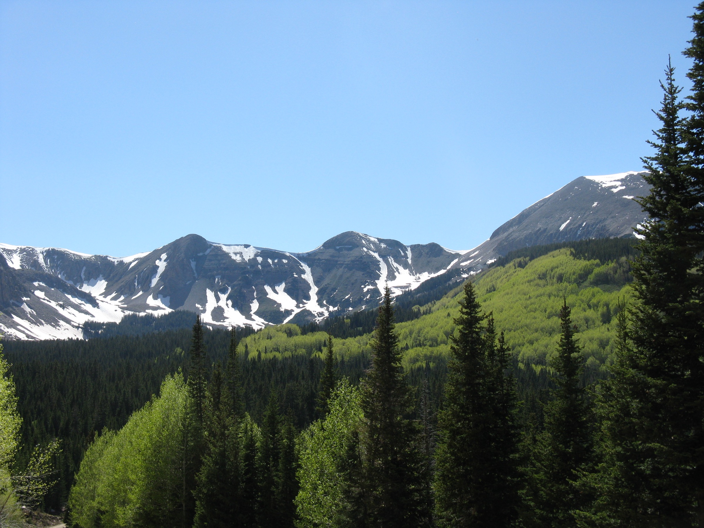
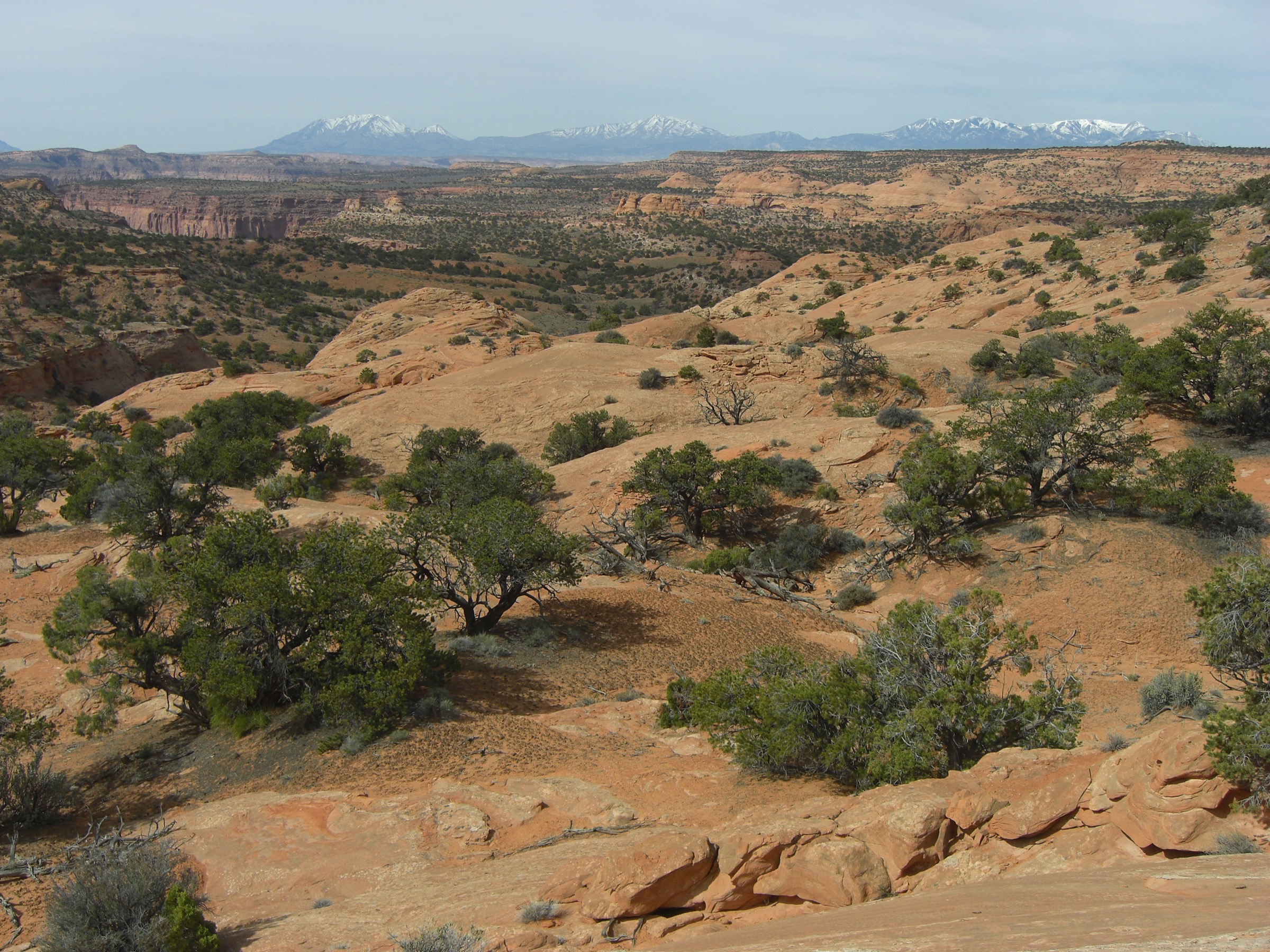
The Henry Mountains are a remote laccolithic range in south-central Utah, rising abruptly between Capitol Reef, the Dirty Devil country and Lake Powell. This is not a signed, high-density trail region: the essential day hikes are mostly summit routes reached by long dirt roads, with navigation, road-condition judgment, heat, lightning and self-reliance mattering as much as foot fitness. The hiking character is isolated desert-to-subalpine peak walking with short but steep summit climbs and long views across the Colorado Plateau.
Access is primarily by high-clearance vehicle on primitive BLM roads out of Hanksville, SR-95 and SR-276. Bull Creek Pass is the main backcountry driving route through the range. Verified public route statistics were found on AllTrails for Mount Ellen, Bull Mountain and Mount Ellsworth; route stats for Mount Pennell and Mount Hillers remain unresolved and those hikes are best treated as navigation routes rather than maintained trails.
See also: La Sal Mountains, Utah · Aquarius Plateau, Utah.
Selection rationale
The five hikes cover the main hiking identities of the Henrys: the range high point on Mount Ellen, the second major summit at Mount Pennell, the central laccolithic peak of Mount Hillers, the northern isolated summit of Bull Mountain, and Mount Ellsworth in the southern Little Rockies. The selection is deliberately summit-focused because verified public day-hike options in the Henrys are sparse.
Summary table
| # | Hike | Country | Route type | Distance | Gain | Max elevation | Difficulty |
|---|---|---|---|---|---|---|---|
| 1 | Mount Ellen Peak Trail | USA | Out-and-back summit | 9.2 km | 566 m | 3,513 m | Hard |
| 2 | Mount Pennell summit route | USA | Out-and-back / navigation route | Not verified | Not verified | 3,478 m | Hard |
| 3 | Mount Hillers summit route | USA | Out-and-back scramble | Not verified | Not verified | 3,274 m | Hard |
| 4 | Bull Mountain | USA | Out-and-back summit | 3.9 km | 539 m | 2,800 m | Hard |
| 5 | Mount Ellsworth North Ridge | USA | Out-and-back summit | 10.5 km | 925 m | 2,510 m | Hard |
1. Mount Ellen Peak Trail
Snapshot

Itinerary
From the high road approach, follow the Mount Ellen peak trail / use-path onto the broad upper ridge and toward the Henry Mountains high point. The outing is short by mountain standards but highly dependent on road access and settled weather.
Why it is essential
Mount Ellen is the highest point of the Henry Mountains and of Garfield County, and the cleanest single-day route into the range’s subalpine summit terrain.
Equipment
- Hiking shoes or boots
- Wind layer; sun protection
- Water; emergency kit
- Offline topo map and GPS
- High-clearance vehicle planning; recovery basics
Hazards and notes
- Remote road access; limited or absent cell service.
- Loose rock; high-elevation wind and lightning.
- Snow can obscure tread outside high summer.
GPX / route file
| Source | URL | Format | Notes |
|---|---|---|---|
| AllTrails — Mount Ellen Peak Trail | alltrails.com | Source map / proprietary trail database | Direct GPX not retrieved; do not reuse proprietary geometry directly |
| OpenStreetMap search | openstreetmap.org | Source map | Reusable only under ODbL terms with attribution/share-alike |
Sources
2. Mount Pennell summit route
Snapshot

Itinerary
Ascend Mount Pennell from the most practical road-access point available at the time of travel, then follow ridges and open slopes to the summit. Because no public route geometry is verified, treat this as a navigation route rather than a maintained trail.
Why it is essential
Mount Pennell is the second-highest Henry Mountains summit and a major central laccolithic peak, giving a different perspective on the range than Mount Ellen.
Equipment
- Sturdy footwear
- Offline topo map and GPS
- Robust vehicle-access plan
- Water; sun and wind protection
- Emergency kit
Hazards and notes
- No verified maintained trail — route-finding required.
- Remote access; loose rock; limited rescue margin.
- Monsoon lightning risk above treeline.
GPX / route file
| Source | URL | Format | Notes |
|---|---|---|---|
| Reference page — Mount Pennell | en.wikipedia.org | Summit context only | No official route file located |
| OpenStreetMap search | openstreetmap.org | Source map | Reusable only under ODbL terms with attribution/share-alike |
Sources
3. Mount Hillers summit route
Snapshot

Itinerary
From a suitable road-access point, climb toward Mount Hillers on the most practical ridge or slope line and return the same way. No official trail route is verified in this pass.
Why it is essential
Mount Hillers is the visual and geologic heart of the Henry Mountains — a prominent laccolithic summit named for John Karl Hillers of the Powell surveys.
Equipment
- Scrambling-capable footwear
- Offline topo map and GPS
- Water; sun protection; wind layer
- Emergency kit; gloves for loose rock
Hazards and notes
- Scrambling and loose rock; helmet worth considering.
- No verified maintained trail — route-finding required.
- Remote travel; limited cell service.
GPX / route file
| Source | URL | Format | Notes |
|---|---|---|---|
| Reference page — Mount Hillers | en.wikipedia.org | Summit context only | No official route file located |
| OpenStreetMap search | openstreetmap.org | Source map | Reusable only under ODbL terms with attribution/share-alike |
Sources
4. Bull Mountain
Snapshot

Itinerary
From the primitive-road approach, climb directly toward the Bull Mountain summit area and return the same way. Mount Ellen forms a prominent backdrop to the south-southwest.
Why it is essential
Bull Mountain represents the northern Henrys with a compact but steep summit outing, and sweeping views toward the Burr Desert, Mount Ellen and Capitol Reef country.
Equipment
- Sturdy footwear
- Offline map and GPS
- Water; sun protection
- Vehicle self-recovery basics
Hazards and notes
- Steep short ascent; loose rock.
- Remote road access; exposure to sun and weather.
- No maintained trail signage verified.
GPX / route file
| Source | URL | Format | Notes |
|---|---|---|---|
| AllTrails — Bull Mountain | alltrails.com | Source map / proprietary trail database | Direct GPX not retrieved; do not reuse proprietary geometry directly |
| OpenStreetMap search | openstreetmap.org | Source map | Reusable only under ODbL terms with attribution/share-alike |
Sources
5. Mount Ellsworth North Ridge
Snapshot

Itinerary
Follow the North Ridge route toward Mount Ellsworth in the Little Rockies — the lower southern group of the Henry Mountains — then return the same way.
Why it is essential
Mount Ellsworth adds a southern Henry Mountains objective to the catalogue and captures the Little Rockies, a distinct lower laccolithic group near Lake Powell.
Equipment
- Sturdy footwear
- Offline map and GPS
- Water; sun protection
- Emergency kit; trekking poles useful on loose slopes
Hazards and notes
- Long remote approach; sparse shade.
- Steep gain on loose desert-mountain terrain.
- Limited communications; monsoon storms possible.
GPX / route file
| Source | URL | Format | Notes |
|---|---|---|---|
| AllTrails — Mount Ellsworth North Ridge | alltrails.com | Source map / proprietary trail database | Direct GPX not retrieved; do not reuse proprietary geometry directly |
| OpenStreetMap search | openstreetmap.org | Source map | Reusable only under ODbL terms with attribution/share-alike |
Sources
Further reading
- Henry Mountains — reference page
- Mount Ellen (Utah) — reference page
- Mount Pennell — reference page
- Mount Hillers — reference page
- Bull Mountain (Garfield County, Utah) — reference page
- Mount Ellsworth (Utah) — reference page
Missing data / follow-up work
- Direct GPX / KML downloads were not retrieved for any of the five routes.
- Route statistics for Mount Pennell and Mount Hillers remain unresolved; both should be treated as navigation objectives.
- Exact trailhead coordinates and current road conditions from Hanksville and SR-95 / SR-276 need local verification before travel.
- Estimated walking time on Mount Ellen is broad — the AllTrails duration was not resolved in this pass.
- Public transport was not verified for any trailhead.