Regional overview
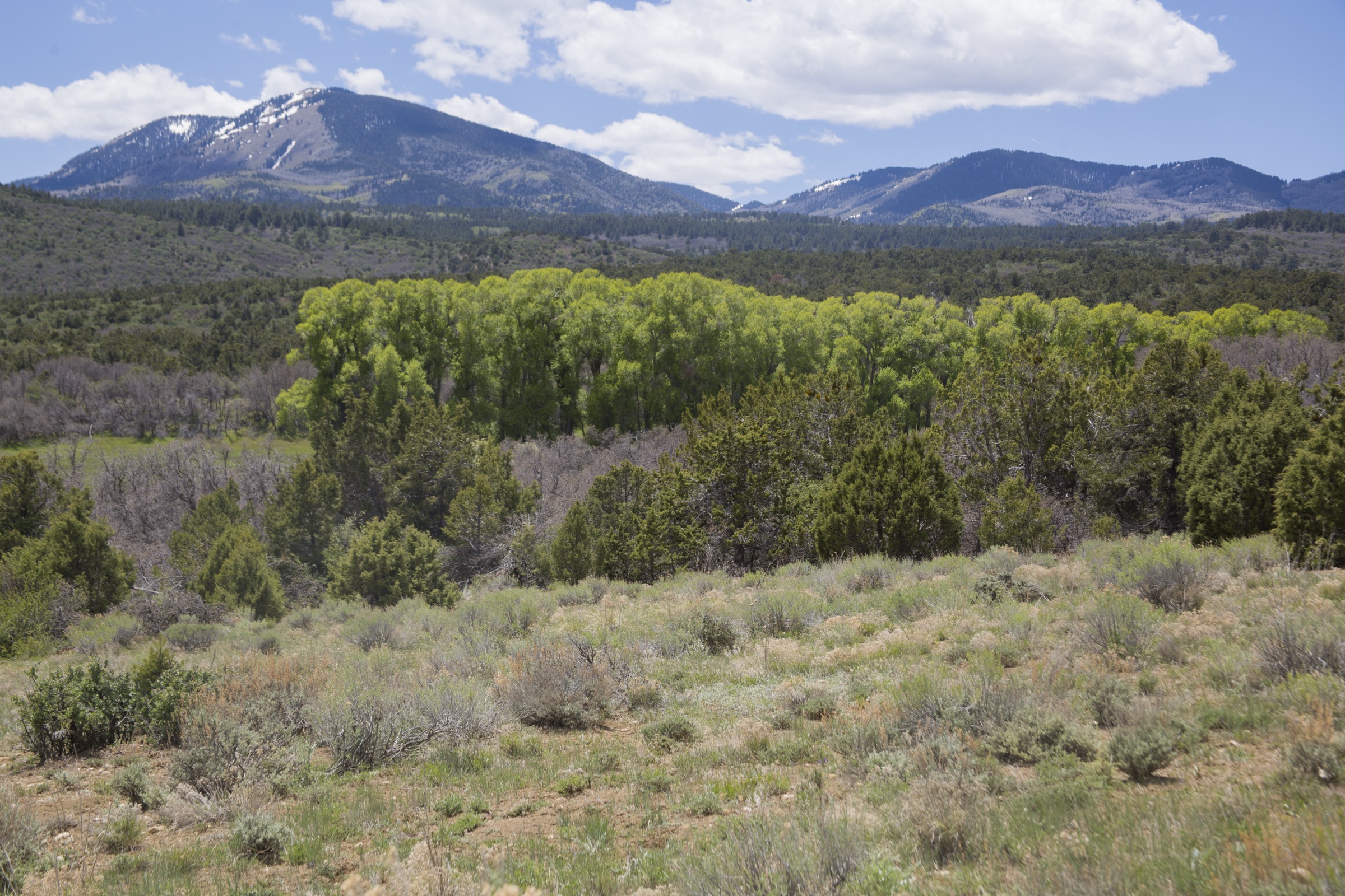
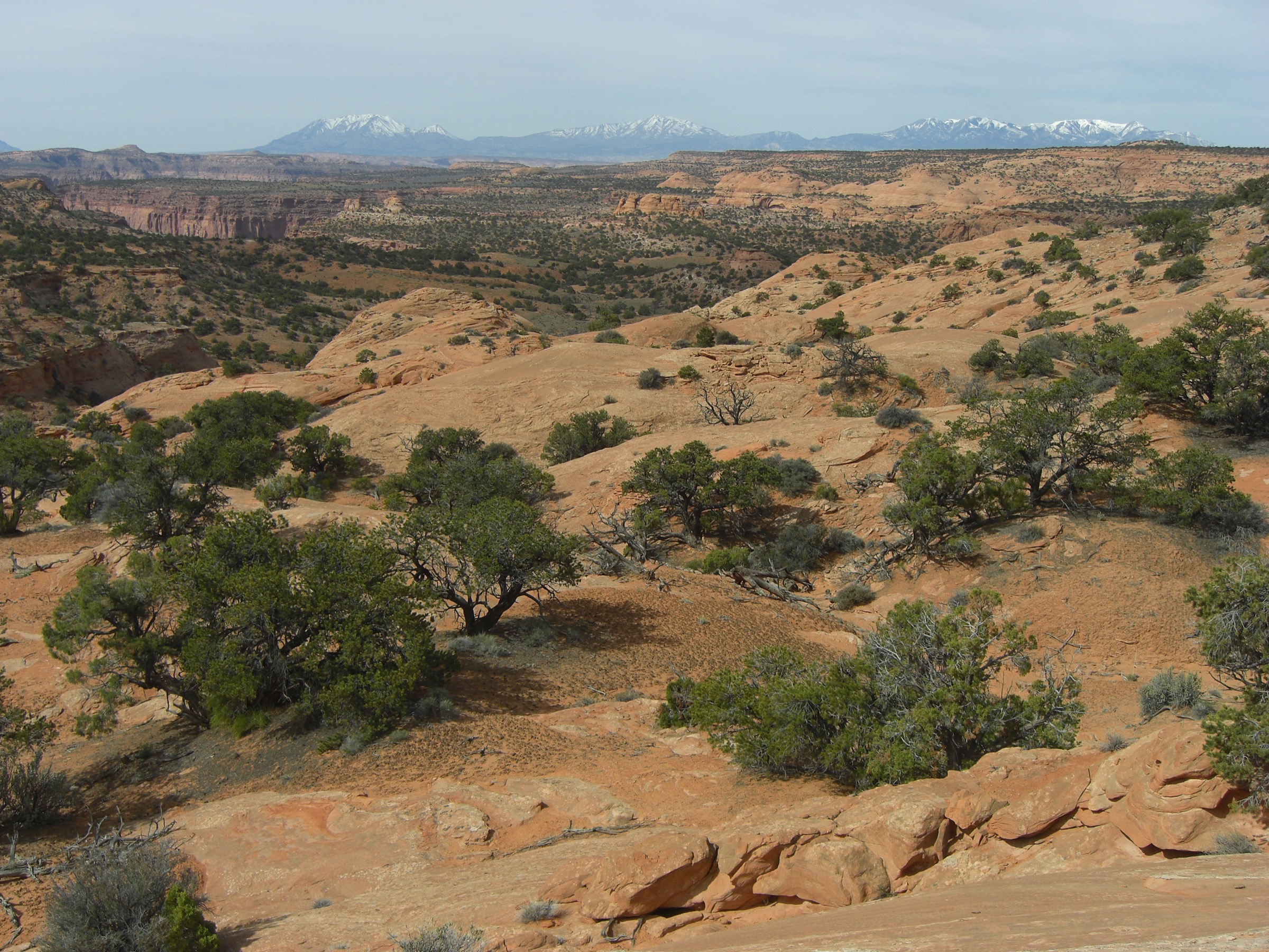
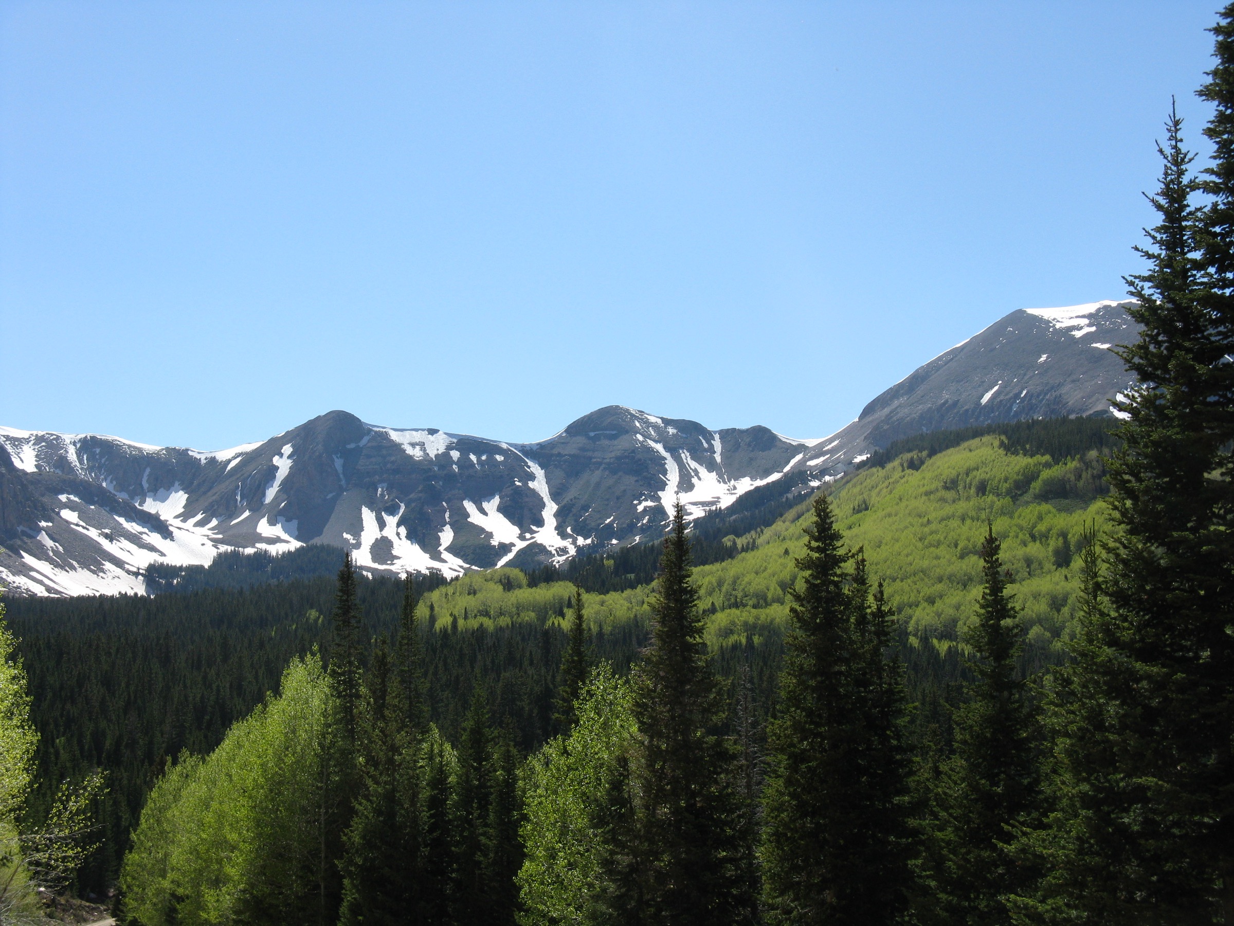
The La Sal Mountains are a compact high laccolithic range rising abruptly above Moab, Castle Valley and the Colorado Plateau desert. They are part of the Manti-La Sal National Forest, contain the forest high point at Mount Peale (12,721 ft) and form the state’s highest mountain group outside the Uintas. Day-hiking here is high-elevation seasonal mountain hiking — aspen and conifer at the lower trailheads, open talus and tundra on the summits, long views out to Arches and Canyonlands, snow lingering into early summer and afternoon thunderstorm risk through the summer monsoon.
The La Sals share a national forest boundary with the neighbouring Abajo Mountains to the south, but they run considerably higher — the high group above Moab clusters five summits over 12,000 ft. Published route data is uneven: the two summit hikes are partly off-trail or unmaintained, while several named trails are verified in the USDA Forest Service TrailNFS public GIS layer.
Current access note checked on 2026-07-13: forest roads on the range are typically accessible from June through October, with lingering snow on the high routes into July and rough conditions common on the upper approach roads. Verify current conditions on the Manti-La Sal National Forest website and the Moab Ranger District office before every trip.
See also: Henry Mountains, Utah · Aquarius Plateau, Utah.
Selection rationale
The five hikes below cover the range high point (Mount Peale via La Sal Pass), the classic skyline peak from Moab (Mount Tukuhnikivatz), a representative north La Sal forest-and-viewpoint hike (Gold Knob from Warner Lake / Miner’s Basin), a compact lake-basin loop (Clark Lake from Oowah Lake) and a high pass corridor (Burro Pass from Geyser Pass). Together they give a complete picture of the La Sals as an isolated high range — summit, skyline peak, forest, lake basin and treeline pass.
Route statistics use official USFS TrailNFS geometry where it exists and AllTrails route cards where official recreation pages or GPX/KML downloads were not available.
Summary
| # | Hike | Country | Route type | Distance | Gain | Difficulty | Primary trailhead |
|---|---|---|---|---|---|---|---|
| 1 | Mount Peale via La Sal Pass | USA | Out-and-back (part off-trail) | 8.4 km / 5.2 mi | 806 m / 2,644 ft | Strenuous | La Sal Pass |
| 2 | Mount Tukuhnikivatz Trail | USA | Out-and-back (part off-trail) | 9.5 km / 5.9 mi | 719 m / 2,359 ft | Strenuous | La Sal Pass |
| 3 | Gold Knob from Warner Lake / Miner’s Basin | USA | Out-and-back | 6.6 km / 4.1 mi | 517 m / 1,696 ft | Hard | Warner Lake Campground |
| 4 | Clark Lake Loop from Oowah Lake | USA | Loop | ~4.5 km / 2.8 mi | Not verified | Hard | Oowah Lake area |
| 5 | Burro Pass from Geyser Pass | USA | Out-and-back | 11.4 km / 7.1 mi | Not verified | Moderate (at altitude) | Geyser Pass |
1. Mount Peale via La Sal Pass

Snapshot
Itinerary
From La Sal Pass the route follows the initial marked track then leaves maintained trail as it climbs toward the couloir and ridge leading to the summit. Several miles including the final approach are undesignated and non-maintained off-trail terrain. The summit is the high point of the La Sal Mountains and of the entire Manti-La Sal National Forest.
Why it is essential
Mount Peale is the defining high summit of the La Sals and the highest Utah summit outside the Uinta Mountains.
Equipment
- Sturdy boots, poles for loose scree
- Offline map / GPS, compass or navigation app
- 3 L water — no dependable sources on route
- Wind shell, warm hat and gloves even in summer
- Sun protection, headlamp, emergency shelter
- Helmet optional on loose talus
Hazards and notes
- Off-trail navigation — the final route is not maintained by USFS.
- Steep loose rock and lingering snow into July on the north-facing couloir.
- Altitude — the summit sits above 3,800 m; pace and hydration matter.
- Afternoon thunderstorms are common; start early and be off the ridge by early afternoon.
- Access roads to La Sal Pass can be closed or impassable with snow.
Routes and maps
| Source | URL |
|---|---|
| AllTrails — Mount Peale Trail | alltrails.com |
| USFS — Manti-La Sal National Forest | fs.usda.gov |
| OpenStreetMap — Mount Peale | openstreetmap.org |
Further reading
2. Mount Tukuhnikivatz Trail

Snapshot
Itinerary
From La Sal Pass the Mount Tukuhnikivatz / Tuk route climbs through aspen and conifer to the ridge; the official trail ends there, and the summit is reached by continuing along the ridge and climbing loose talus. The USFS TrailNFS layer verifies the named Tukuhnikivatz Trail #5093 segment; the summit continuation is user-defined route.
Why it is essential
Tukuhnikivatz is one of the iconic La Sal summits — a prominent skyline peak from the Moab area and the range’s classic steep summit hike after Mount Peale.
Equipment
- Sturdy boots, poles for loose talus
- Offline map / GPS
- 3 L water — no dependable sources on route
- Warm layers, wind shell
- Sun protection, headlamp
Hazards and notes
- Loose talus above the official trail end.
- Route-finding beyond the trail terminus.
- Altitude — the summit sits above 3,800 m.
- Thunderstorm risk from mid-morning onward; start early.
- No facilities at the trailhead.
Routes and maps
| Source | URL |
|---|---|
| AllTrails — Mount Tukuhnikivatz Trail | alltrails.com |
| USFS TrailNFS — Tukuhnikivatz Trail #5093 | apps.fs.usda.gov |
| OpenStreetMap — Mount Tukuhnikivatz | openstreetmap.org |
Further reading
3. Gold Knob from Warner Lake / Miner’s Basin

Snapshot
Itinerary
From near Warner Lake Campground the route uses the Miner’s Basin / Bachelor Basin approach toward Gold Knob, climbing through forest, aspen, oak stands and meadows before reaching the open high viewpoint at Gold Knob. Old mining roads on nearby slopes are a reminder that this corner of the range was worked for gold and silver in the late 19th century.
Why it is essential
A representative north La Sal hike combining forest, mining-era landscape, wildflowers and a high viewpoint without committing to a 12,000 ft summit.
Equipment
- Sturdy footwear
- 2 L water
- Sun protection, layers
- Navigation app or downloaded map
Hazards and notes
- Steep rocky tread in the upper section.
- Possible snow into early summer.
- Limited shade higher on the route.
- Old mining-era ground disturbance nearby — stay on the trail.
Routes and maps
| Source | URL |
|---|---|
| AllTrails — Gold Knob Trail | alltrails.com |
| USFS TrailNFS — Gold Knob Trail #5187 | apps.fs.usda.gov |
| USFS TrailNFS — Bachelor Basin Trail #5034 | apps.fs.usda.gov |
Further reading
4. Clark Lake Loop from Oowah Lake

Snapshot
Itinerary
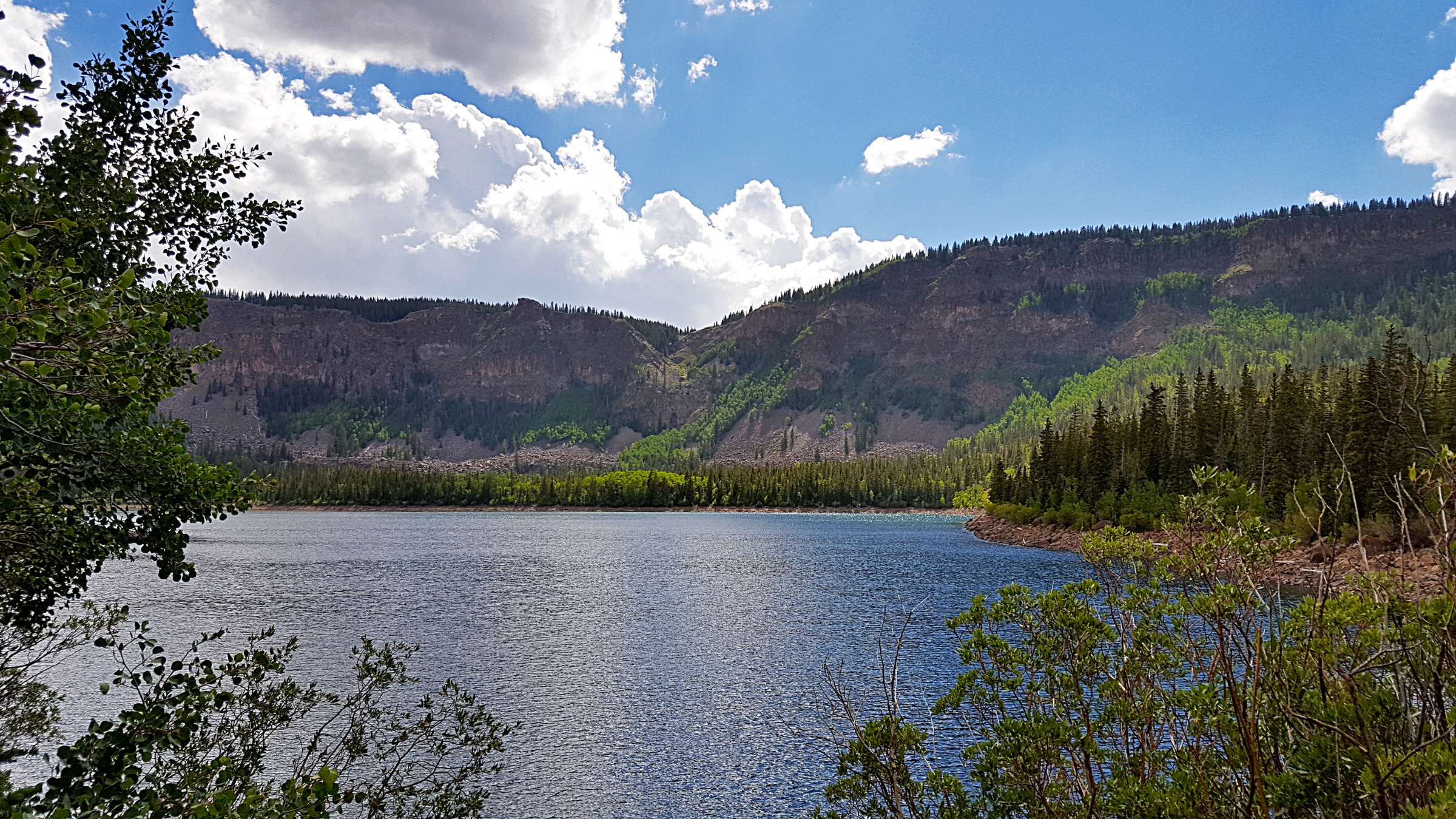
The route uses the Oowah Lake / Clark Lake trail network for a compact lake-basin walk through forest and high meadows around Clark Lake, returning to the Oowah Lake access. Official USFS TrailNFS geometry verifies Clark Lake Trail #5141 and Clark Lake Loop / Jedi Loop #5144 in this area.
Why it is essential
The strongest compact lake-focused day-hike in the La Sals — a quieter alpine-basin counterpoint to the summit routes.
Equipment
- Sturdy footwear
- 1–2 L water
- Layers, sun protection
- Offline map — several short trail segments to navigate
Hazards and notes
- Muddy or snowy tread on shaded aspects into early summer.
- Navigation among multiple short trail segments.
- High-elevation weather can change fast.
- No verified public facilities beyond the lake / campground context.
Routes and maps
| Source | URL |
|---|---|
| AllTrails — Clark Lake Loop Trail | alltrails.com |
| USFS TrailNFS — Clark Lake Trail #5141 | apps.fs.usda.gov |
| USFS TrailNFS — Clark Lake Loop / Jedi Loop #5144 | apps.fs.usda.gov |
Further reading
5. Burro Pass from Geyser Pass

Snapshot
Itinerary
The route follows the high Burro Pass trail corridor from the Geyser Pass side toward Burro Pass, then returns the same way. USFS TrailNFS verifies Burro Pass Trail #5315 and Geyser to Burro #5178 trail geometry. The corridor is also the upper portion of the Whole Enchilada mountain-bike route — expect shared-use trail in season.
Why it is essential
A classic high-pass / treeline route that gives the La Sals’ alpine feel without committing to a loose 12,000 ft summit.
Equipment
- Water, layers, sun protection
- Sturdy footwear
- Navigation
- High-visibility clothing during hunting season or heavy bike-traffic periods
Hazards and notes
- High altitude and fast weather changes.
- Possible snow into early summer.
- Shared-use mountain-bike traffic — step aside on blind corners.
- Limited shade near the open high sections.
Routes and maps
| Source | URL |
|---|---|
| AllTrails — Burro Pass | alltrails.com |
| USFS TrailNFS — Burro Pass Trail #5315 | apps.fs.usda.gov |
| USFS TrailNFS — Geyser to Burro #5178 | apps.fs.usda.gov |
Further reading
Region-wide cautions
- Snow lingers on the high routes into July and can block approach roads to La Sal Pass and Geyser Pass into early summer.
- Afternoon thunderstorms are common in summer above 3,000 m; start early and be off the ridge by early afternoon.
- The Mount Peale and Mount Tukuhnikivatz summit routes leave maintained trail and require Class 2–3 off-trail navigation on loose talus.
- Forest roads deteriorate quickly in wet weather — a high-clearance vehicle is helpful and sometimes essential.
- The Burro Pass corridor is a busy shared-use mountain-bike trail in summer; step aside on blind corners.
- Cell coverage is unreliable across the range; carry a paper map or downloaded topo, and tell someone your plan.
Routes excluded
- Mount Mellenthin, Mount Waas and Manns Peak — the other 12,000 ft La Sal summits; largely off-trail and better treated in a dedicated peak-bagging article.
- Full Whole Enchilada as a day-hike — a mountain-bike descent route; not a hiking objective at that length.
- La Sal Loop Road drive-and-viewpoint circuit — a scenic drive, not a day-hike.
- Winter and snowshoe routes — a separate discipline; this article covers snow-free-season day-hiking only.
Data and media notes
Route statistics are drawn from AllTrails route cards and cross-checked with the USDA Forest Service TrailNFS public ArcGIS layer where an official trail exists. Elevation gain and loss for the Clark Lake Loop and Burro Pass hikes could not be verified from official sources at time of publication; the AllTrails distances and times listed are the best available public numbers.
Further reading
- USFS — Manti-La Sal National Forest
- USFS — Manti-La Sal National Forest recreation
- Wikipedia — La Sal Mountains
- Wikipedia — Mount Peale
- Wikipedia — Mount Tukuhnikivatz
- Wikipedia — Manti-La Sal National Forest
- Storm — Abajo Mountains essential day-hikes — the neighbouring Utah High Plateaus article
- Storm — Boulder Mountain essential day-hikes — Utah High Plateaus plateau counterpart