Regional overview
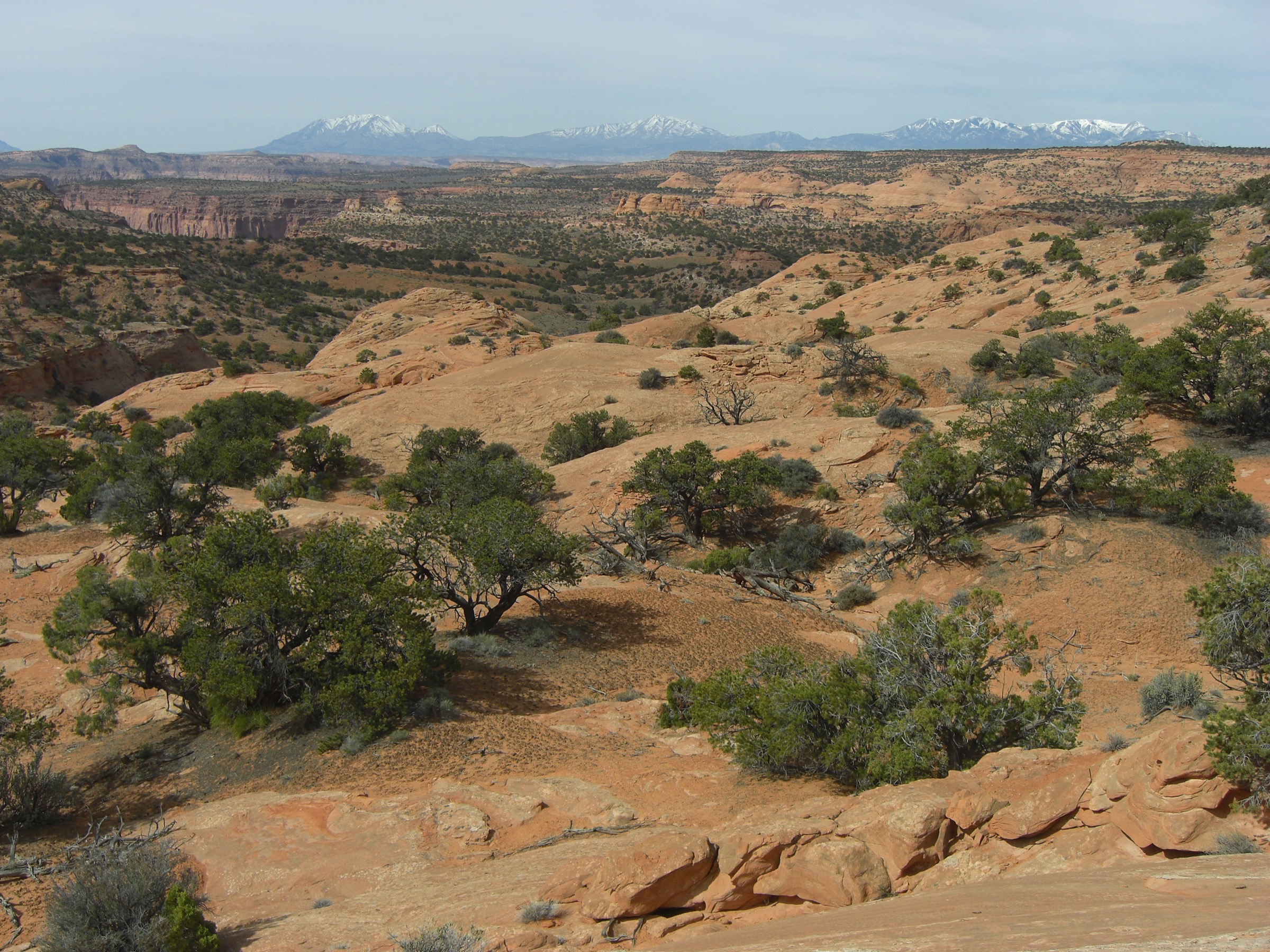
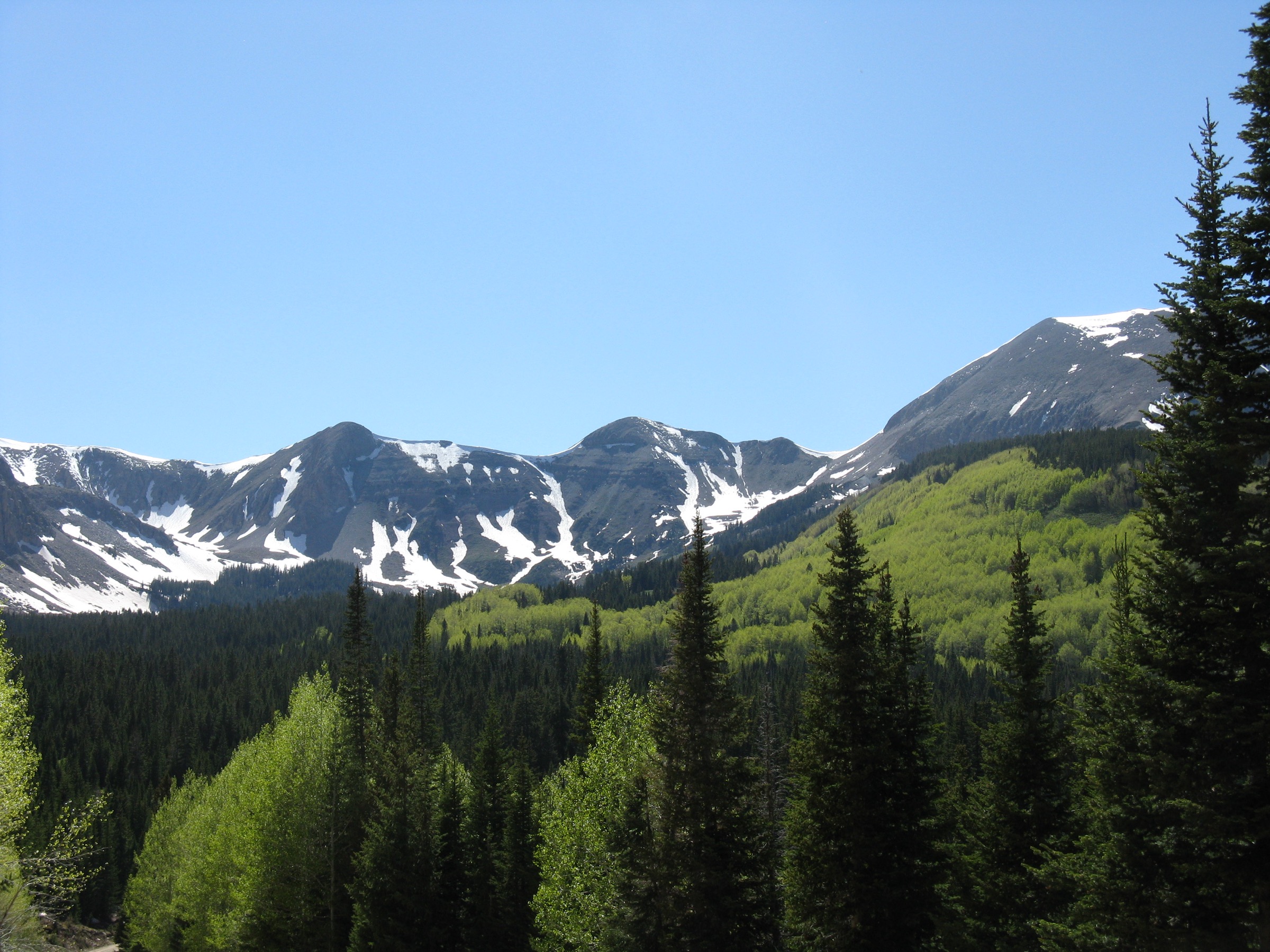
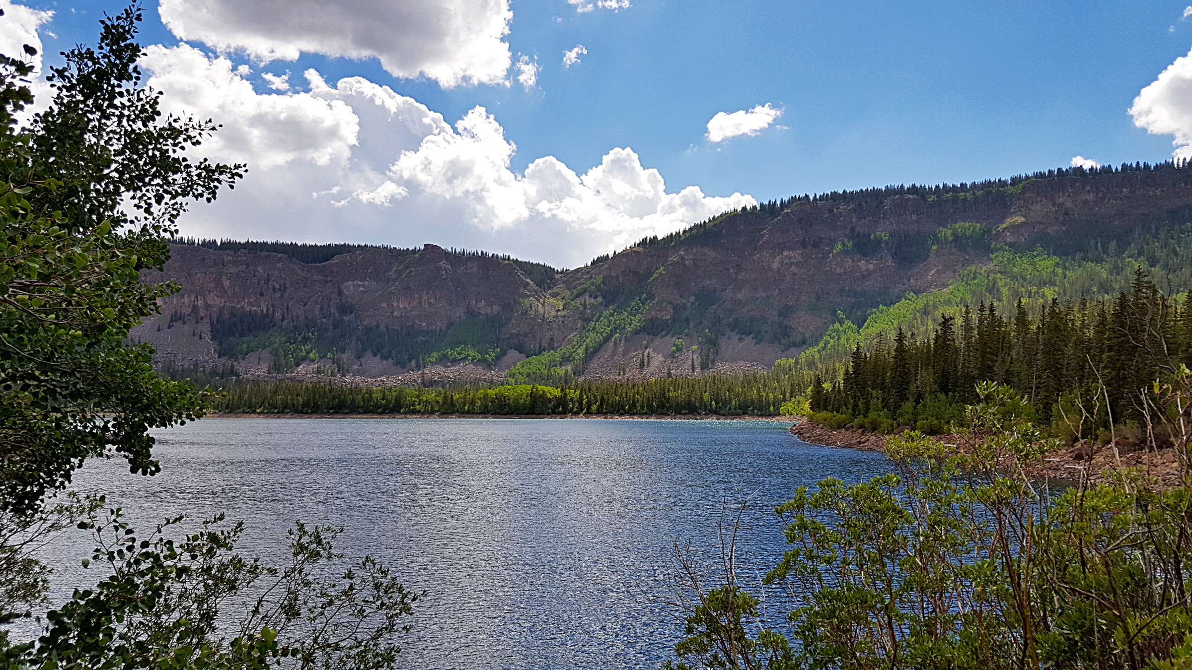
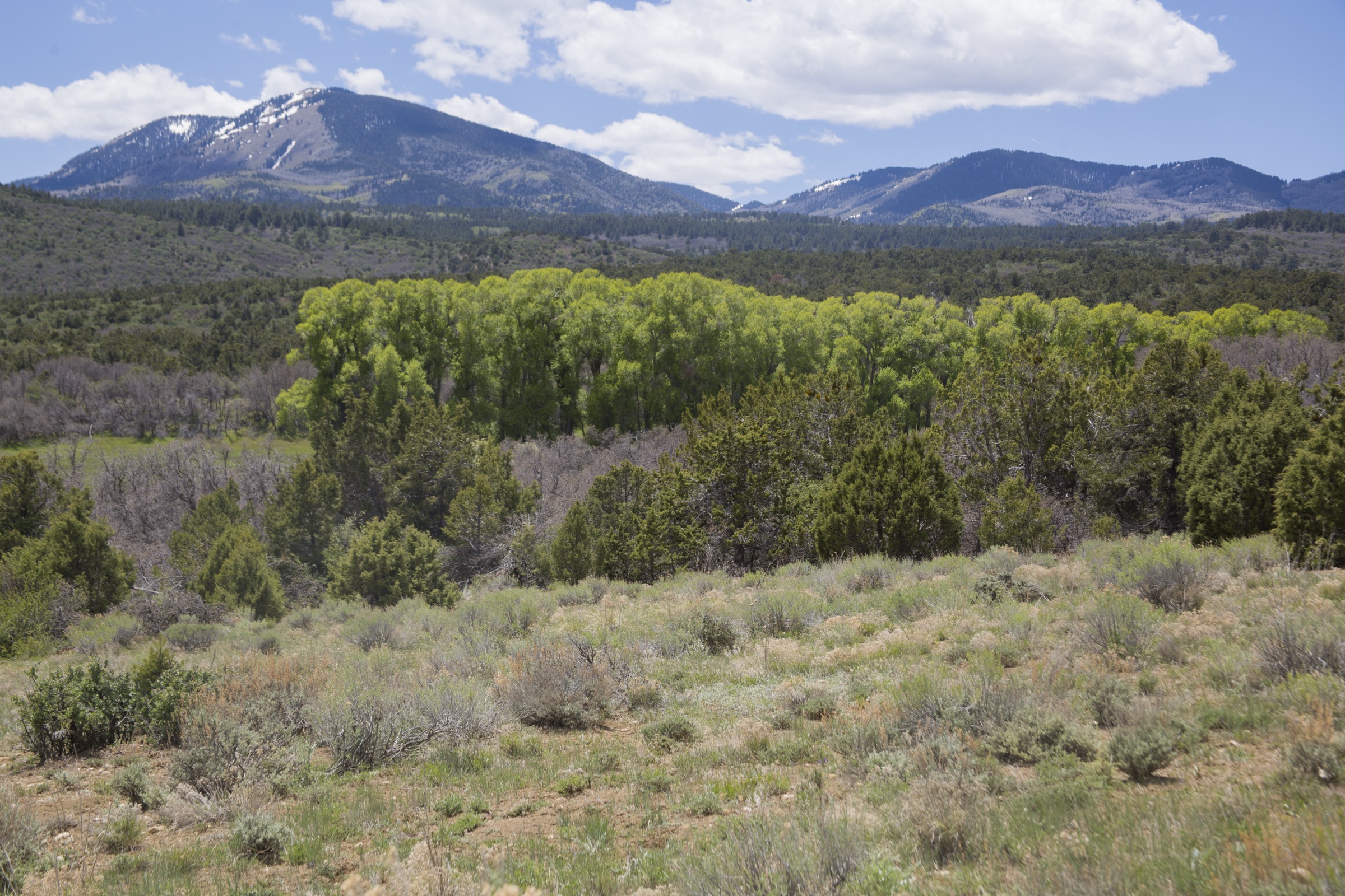
The Abajo Mountains — also known locally as the Blue Mountains — form a small, compact laccolithic range rising abruptly out of the Colorado Plateau west of Monticello in San Juan County, Utah. Abajo Peak tops out at 11,362 ft, and the range is a high, cool, aspen-and-fir island above the Bears Ears redrock country to the south and Canyonlands to the west. It is one of the classic isolated Utah ranges that sits within the broader family of the state’s High Plateaus.
Trails and access are managed by the Manti-La Sal National Forest, Monticello Ranger District. The range is much smaller than the neighbouring Boulder Mountain plateau to the west, and the trail network is correspondingly modest — but the routes that do exist deliver the two things the Abajos are best at: high, cool forest hiking well into summer, and long-view balconies out over the redrock canyons.
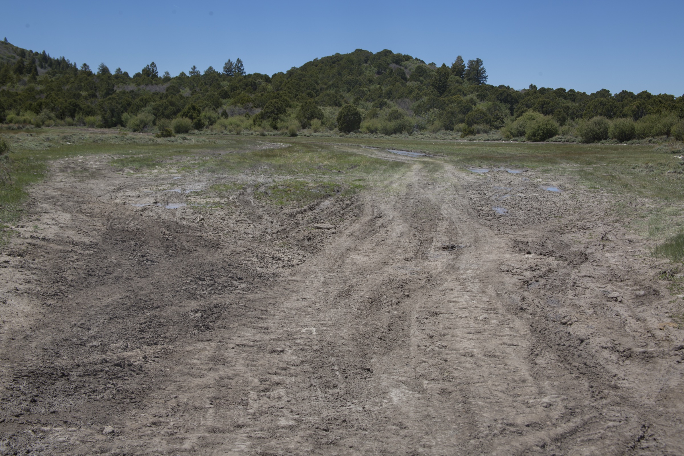
Current access note checked on 2026-07-13: forest roads on the range are typically accessible from late spring through October, with lingering snow on the high routes into June and early-season mud on the shaded aspects. Verify current conditions on the Manti-La Sal National Forest website and the district office before every trip.
See also: La Sal Mountains, Utah · Henry Mountains, Utah.
Selection rationale
The five hikes below cover the range high point (Abajo Peak via North Creek Pass), the two most publication-ready mid-range forest hikes with clear USFS numbered-trail identifiers (Aspen Flat #5018 and Shay Mountain #5098), the classic canyon-rim balcony (Johnson Creek Rim #5909 with the Spur Loop #5917) and the shortest signature ridge hike in the range (The Notch #5006). Together they give a complete picture of the Abajos as an isolated high range — summit, forest, rim view and short signature ridge.
Summary
| # | Hike | Country | Route type | Distance | Gain | Difficulty | Primary trailhead |
|---|---|---|---|---|---|---|---|
| 1 | Abajo Peak via North Creek Pass | USA | Out-and-back | ~9.7 km / 6.0 mi | ~427 m / 1,400 ft | Strenuous | North Creek Pass, FS Road 095 |
| 2 | Aspen Flat Trail #5018 | USA | Out-and-back | ~8.0 km / 5.0 mi | ~305 m / 1,000 ft | Moderate | Aspen Flat trailhead, FS Road 101 area |
| 3 | Shay Mountain Trail #5098 | USA | Out-and-back | ~9.7 km / 6.0 mi | ~366 m / 1,200 ft | Moderate–strenuous | Shay Mountain trailhead, north side of the range |
| 4 | Johnson Creek Rim Trail #5909 + Spur Loop #5917 | USA | Loop / lollipop | ~8.0 km / 5.0 mi | ~244 m / 800 ft | Moderate | Johnson Creek trailhead, south flank |
| 5 | The Notch Trail #5006 | USA | Out-and-back | ~4.8 km / 3.0 mi | ~183 m / 600 ft | Moderate | The Notch trailhead, FS Road 095 |
1. Abajo Peak via North Creek Pass

Snapshot
Itinerary
From the North Creek Pass area on FS Road 095 the route follows the service road / ridgeline up to the range high point at 11,362 ft, with continuous open views out over the Bears Ears country, Canyonlands and the La Sal Mountains to the north-east. The summit hosts a communications installation, but the ascent is a genuine mountain hike above the aspen belt.
Why it is essential
Highest summit in the Abajo Mountains and the natural high-point ambition for the whole range — a small, cool, high island in redrock country.
Equipment
- Sturdy boots or trail runners with grip
- 2–3 L water — dependable sources are limited on the ridge
- Layers for a summit where afternoon weather changes fast
- Wind shell, warm hat and gloves even in summer
- Sun protection, headlamp, emergency shelter
Hazards and notes
- Altitude — the summit sits above 3,400 m; pace and hydration matter.
- Afternoon thunderstorms are common in summer; start early and be off the ridge by early afternoon.
- Approach roads can be rough — verify current road conditions with the Monticello Ranger District.
- Snow can persist on the shaded high aspects into early summer.
Routes and maps
| Source | URL |
|---|---|
| USFS — Manti-La Sal National Forest | fs.usda.gov |
| SummitPost — Abajo Peak | summitpost.org |
| OpenStreetMap — Abajo Peak | openstreetmap.org |
Further reading
2. Aspen Flat Trail #5018
Snapshot
Itinerary
The Aspen Flat Trail #5018 works the mid-elevation aspen and mixed-conifer belt on the eastern flank of the range, with intermittent open glades and forested corridors. The grade is moderate throughout, and the route is one of the range’s most reliable shoulder-season options once the snow has cleared but before the high routes are open.
Why it is essential
The most representative mid-range aspen forest hike in the Abajos — a straightforward numbered USFS trail with reliable access.
Equipment
- Trail shoes with grip
- 2 L water
- Wind layer for open sections
- Insect repellent in early summer
Hazards and notes
- Muddy sections into early summer; the shaded corridors hold moisture longest.
- Blowdown is common after storm cycles; carry a phone map in case of detours.
- Cattle grazing occurs on parts of the district; close any gates you open.
Routes and maps
| Source | URL |
|---|---|
| USFS TrailNFS — Aspen Flat Trail #5018 | apps.fs.usda.gov |
| USFS — Manti-La Sal National Forest | fs.usda.gov |
| OpenStreetMap — Abajo Mountains | openstreetmap.org |
Further reading
3. Shay Mountain Trail #5098

Snapshot
Itinerary
The Shay Mountain Trail #5098 climbs the northern flank of the range into the Shay Mountain area, with a sustained forested grade and periodic viewpoints north across the Canyonlands basin and the Book Cliffs beyond. It is a longer, quieter alternative to Abajo Peak, and one of the best routes in the range for solitude in mid-summer.
Why it is essential
The best of the range’s mid-range summit-style hikes — a proper mountain day-hike on a numbered USFS trail with wider views than Aspen Flat.
Equipment
- Sturdy boots or trail runners
- 3 L water
- Layers for exposed ridge sections
- Sun protection, headlamp
Hazards and notes
- Approach roads can deteriorate quickly in wet weather.
- Blowdown and route-finding on the upper trail — carry a downloaded map.
- Afternoon thunderstorms; watch the sky from mid-morning onward.
- Wildlife (deer, bear reported in the district); standard food-storage discipline at any rest stop.
Routes and maps
| Source | URL |
|---|---|
| USFS TrailNFS — Shay Mountain Trail #5098 | apps.fs.usda.gov |
| USFS — Manti-La Sal National Forest | fs.usda.gov |
| OpenStreetMap — Shay Mountain | openstreetmap.org |
Further reading
4. Johnson Creek Rim Trail #5909 + Spur Loop #5917

Snapshot
Itinerary
The Johnson Creek Rim Trail #5909 runs across the southern rim of the range, with the Spur Loop #5917 closing a natural lollipop back to the trailhead. The route holds the balcony most of the way, with long open views out over Elk Ridge and the redrock canyons that lead south into the Bears Ears country.
Why it is essential
The signature rim-and-balcony hike of the Abajos — the best on-trail viewpoint in the range over the redrock canyons to the south.
Equipment
- Trail shoes with grip
- 2 L water
- Sun protection — the rim is exposed
- Wind shell
Hazards and notes
- Cliff exposure along the rim in places — care with children and dogs.
- Storm cells build fast over the plateau — retreat off the rim if lightning is close.
- Rattlesnakes possible at the lower end of the season.
- Loop signage varies; carry a downloaded map.
Routes and maps
| Source | URL |
|---|---|
| USFS TrailNFS — Johnson Creek Rim #5909 | apps.fs.usda.gov |
| USFS TrailNFS — Spur Loop #5917 | apps.fs.usda.gov |
| OpenStreetMap — Johnson Creek | openstreetmap.org |
Further reading
5. The Notch Trail #5006

Snapshot
Itinerary
The Notch Trail #5006 climbs to the low ridge saddle between the range’s principal summits, giving the shortest signature ridge hike in the Abajos. The route is a natural half-day companion to the longer Abajo Peak or Shay Mountain routes, or a full outing on its own when weather or time make the bigger days unwise.
Why it is essential
Shortest ridge / notch hike in the range with a clear USFS numbered trail — the natural short-day option in the Abajos.
Equipment
- Trail shoes with grip
- 1–2 L water
- Wind layer for the ridge
- Sun protection
Hazards and notes
- Exposed ridge — retreat off the notch if a storm is building.
- Loose scree in places on the upper trail.
- Limited water on route — carry what you need.
Routes and maps
| Source | URL |
|---|---|
| USFS TrailNFS — The Notch Trail #5006 | apps.fs.usda.gov |
| USFS — Manti-La Sal National Forest | fs.usda.gov |
| OpenStreetMap — Abajo Mountains | openstreetmap.org |
Further reading
Region-wide cautions
- The Abajos are a small isolated range; help is a long way away. Carry a paper map or downloaded topo, and tell someone your plan.
- Snow can persist on the high routes into June; approach roads may hold snow and mud even longer.
- Afternoon thunderstorms are common in summer above 3,000 m; start early and be off the ridge by early afternoon.
- Approach roads (FS Road 095 in particular) can deteriorate quickly in wet weather — a high-clearance vehicle is helpful and sometimes essential.
- The range sits within culturally sensitive Bears Ears–adjacent country to the south; stay on established trails and pack out everything.
Routes excluded
- North Creek Trail and other lower-forest routes — worth exploring locally but not publication-ready as marquee day-hikes.
- Full range traverse — not a single-day objective; would require a multi-day plan and vehicle shuttle.
- Winter and snowshoe routes — a separate discipline; this article covers snow-free-season day-hiking only.
Further reading
- USFS — Manti-La Sal National Forest
- USFS — Manti-La Sal National Forest recreation
- Wikipedia — Abajo Mountains
- Wikipedia — Abajo Peak
- Wikipedia — Manti-La Sal National Forest
- Storm — Boulder Mountain essential day-hikes — the neighbouring Utah High Plateaus article