Regional overview
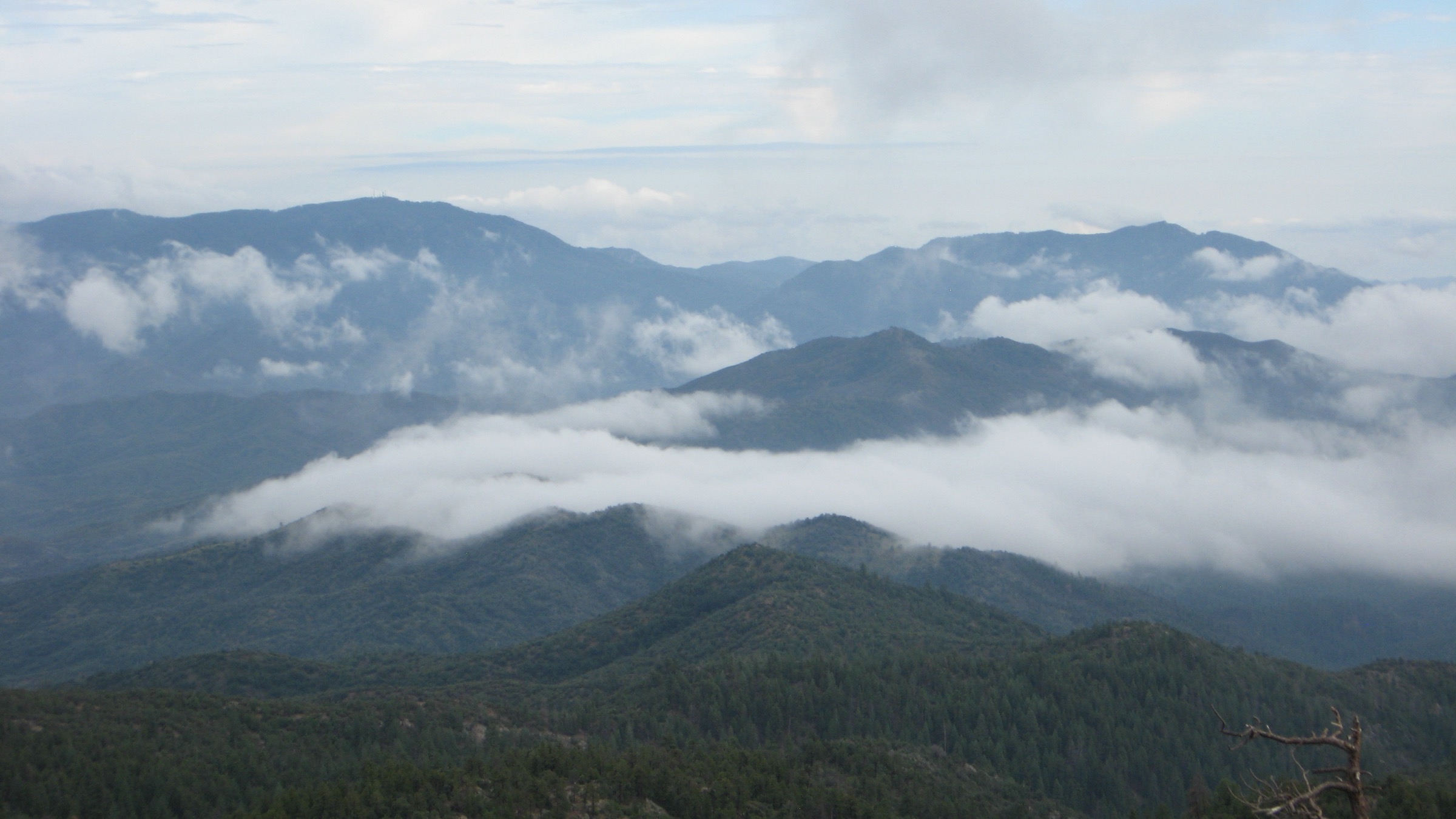
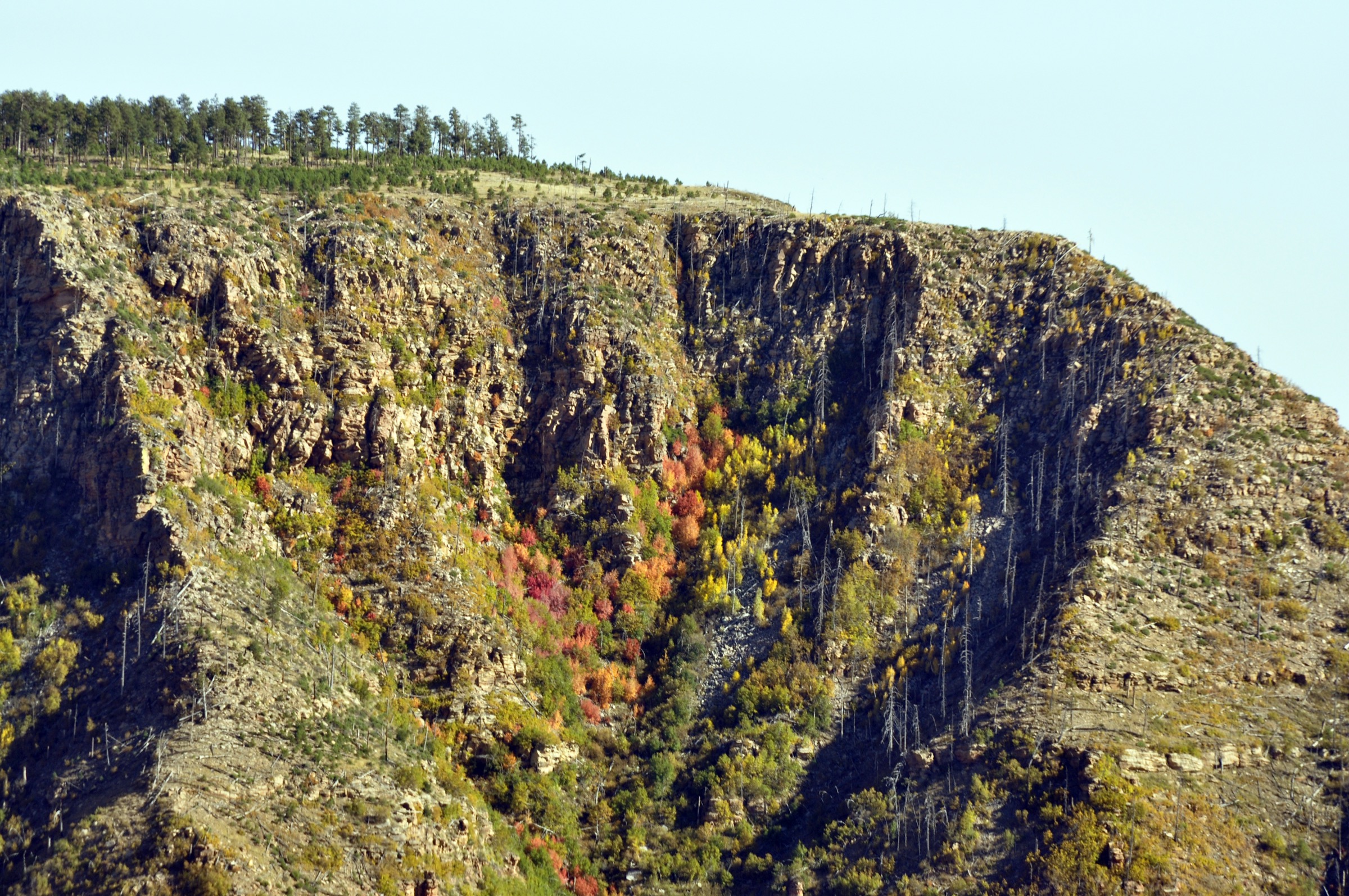
The Mogollon Rim is the long escarpment where the Colorado Plateau drops toward central Arizona. Visit Arizona describes it as a roughly 200-mile feature across northeastern Arizona, with dense pine forests, cool mountain lakes, rim roads and 2,000-foot limestone cliff sections. In hiking terms it is a heat-escape highland: ponderosa forest, perennial creeks, travertine springs, lake loops, rim-edge viewpoints and historic under-rim routes.
The walking character is dry but higher and cooler than the Phoenix basin. Summer afternoons bring lightning and monsoon flash-flood risk; winter and spring can bring snow, mud and closed forest roads, especially along FR 300 / Rim Road. Many trails have limited cell service and mixed official / statistical coverage, so route-file preparation and current Forest Service checks are important.
See also: Mazatzal Mountains, Arizona · Superstition Mountains, Arizona.
Selection rationale
The five hikes cover the core Mogollon Rim day-hike types: a classic spring-fed creek, the famous Fossil Creek descent, a cool lake circuit, a rim-edge vista walk and a day section of the historic Highline National Recreation Trail. Official Forest Service, state tourism, Recreation.gov, Arizona Highways, AllTrails, Komoot, HikeArizona, Gaia GPS and Wikimedia Commons sources were checked. Where official pages did not publish full route statistics, secondary route databases are named explicitly.
Summary table
| # | Hike | Start point | Type | Distance | Gain | Max elevation | Difficulty |
|---|---|---|---|---|---|---|---|
| 1 | Horton Creek Trail to Horton Spring | Upper Tonto Creek / Horton Creek area | Out-and-back | 11.4 km / 7.1 mi | 372 m / 1,222 ft | ~2,042 m / 6,700 ft | Moderate |
| 2 | Bob Bear Trail to Fossil Springs | Bob Bear Trailhead west of Strawberry | Out-and-back | 13.6 km / 8.44 mi | 393 m / 1,291 ft | 1,697 m / 5,567 ft (trailhead) | Very strenuous |
| 3 | Woods Canyon Lake Loop | Woods Canyon Lake Recreation Area | Loop | 5.6 km / 3.5 mi | 42 m / 137 ft | 2,289 m / 7,510 ft | Easy–moderate |
| 4 | Rim Lakes Vista and Old Rim Road Loop | Rim Top / Military Sinkhole on FR 300 | Loop | 6.9 km / 4.3 mi | 51 m / 167 ft | ~2,290 m / 7,500 ft | Easy–moderate |
| 5 | Highline Trail #31: Two-Sixty to See Canyon section | Two-Sixty Trailhead / FR 300 area | Out-and-back | 22.0 km / 13.7 mi | 422 m / 1,384 ft | Unresolved | Moderate–hard |
1. Horton Creek Trail to Horton Spring
Snapshot
Itinerary
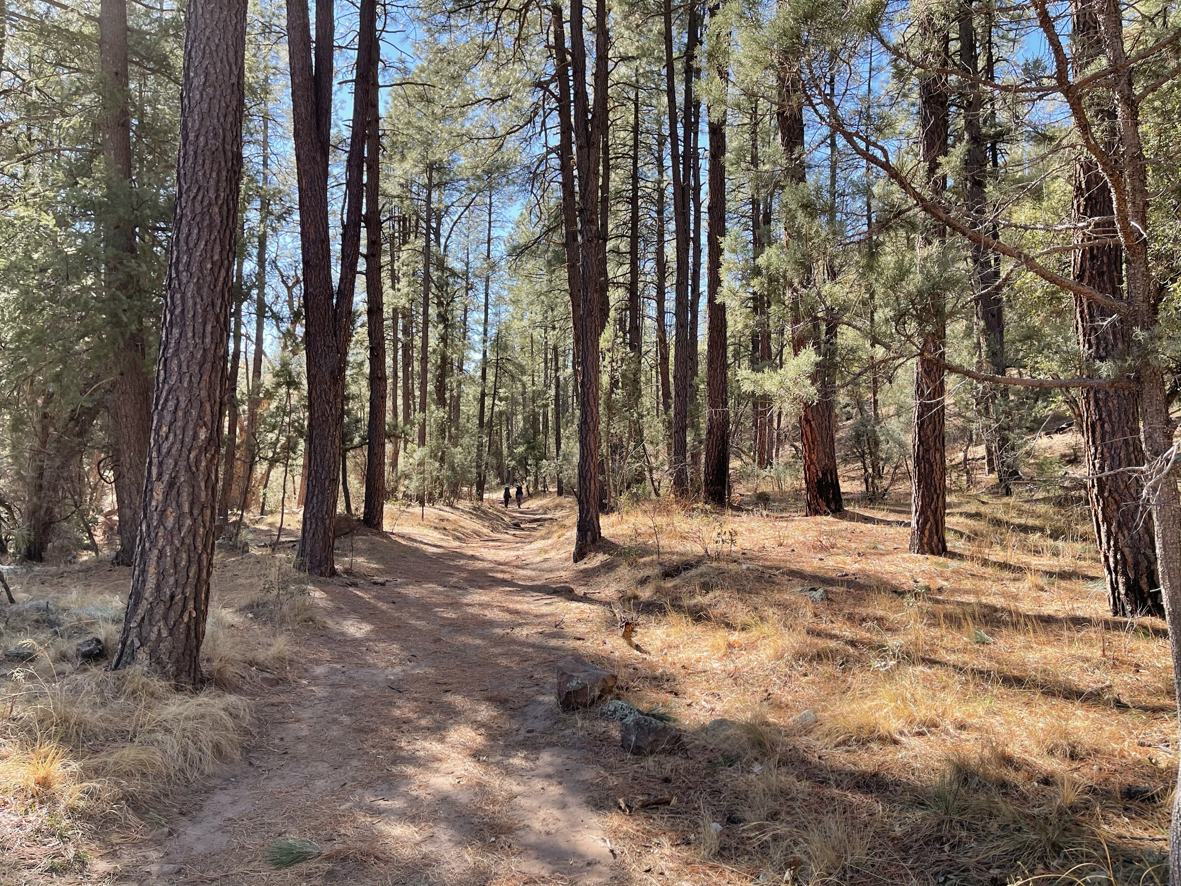
From the Horton Creek area, follow Horton Creek Trail #285 upstream through pine forest, staying near the perennial creek and its pools before climbing toward Horton Spring at the base of the Mogollon Rim. Return by the same trail, or connect with the Derrick / Highline trails only if deliberately planning the longer loop.
Why it is essential
Horton Creek is one of the Rim’s signature cool-water forest hikes, pairing perennial flow with the ecological shift from hot central Arizona to shaded rim country.
Equipment
- Hiking shoes
- Water and sun protection
- Rain shell in monsoon season
- Offline map
- Trekking poles for rocky sections
Hazards and notes
- Rocky tread and loose footing.
- Overgrown sections in places.
- Unreliable cell service.
- Thunderstorms and slick creekside rocks.
GPX / route file
| Source | URL | Format | Notes |
|---|---|---|---|
| Tonto National Forest — recreation opportunities | fs.usda.gov | Official trail context | Official Horton Creek description; no GPX exposed |
| HikeArizona — Horton Creek Trail #285 | hikearizona.com | Community route page | Distance, gain, time, trailhead elevation verified; do not reuse geometry without checking terms |
| Komoot — Horton Creek Trail #285 | komoot.com | Source route map | Secondary distance / gain and surface context; route-file reuse unresolved |
Sources
- Tonto National Forest — recreation opportunities
- HikeArizona — Horton Creek Trail #285
- Komoot — Horton Creek Trail #285
2. Bob Bear Trail to Fossil Springs
Snapshot
Itinerary
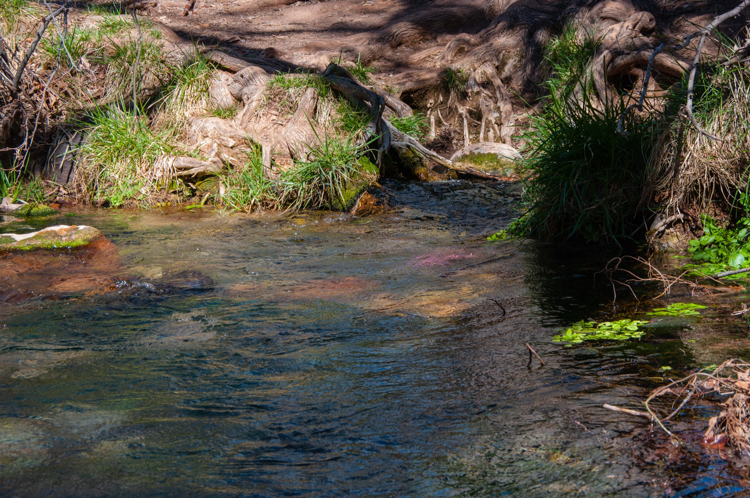
Descend Bob Bear Trail from the Strawberry-side rim into Fossil Creek canyon. The maintained trail reaches the historic old dam area near Fossil Springs, with water and travertine pools beyond the dry descent. Return by climbing the same exposed trail back to the rim.
Why it is essential
Fossil Springs is the Mogollon Rim’s most famous spring-fed canyon hike, but it is essential precisely because it combines iconic water scenery with serious desert-canyon risk.
Equipment
- At least 5.7 L (1.5 US gal) of water per person, per Forest Service warning
- Sun hat and sunscreen
- Sturdy footwear
- Food and offline map
- Emergency plan and communication
Hazards and notes
- Brutal heat with no shade on the descent and climb.
- No water for the first 4.2 mi outbound.
- 1,500 ft (~460 m) canyon climb on the return.
- No cell service; frequent search-and-rescue incidents.
- Flash-flood potential in the canyon.
GPX / route file
| Source | URL | Format | Notes |
|---|---|---|---|
| Coconino National Forest — Bob Bear Trail No. 18 | fs.usda.gov | Official route page | Distance, time, elevation, hazards, permit season, restrictions and GPS verified |
| Recreation.gov — Fossil Creek permits | recreation.gov | Permit source | Current availability not exhaustively checked |
Sources
3. Woods Canyon Lake Loop
Snapshot
Itinerary
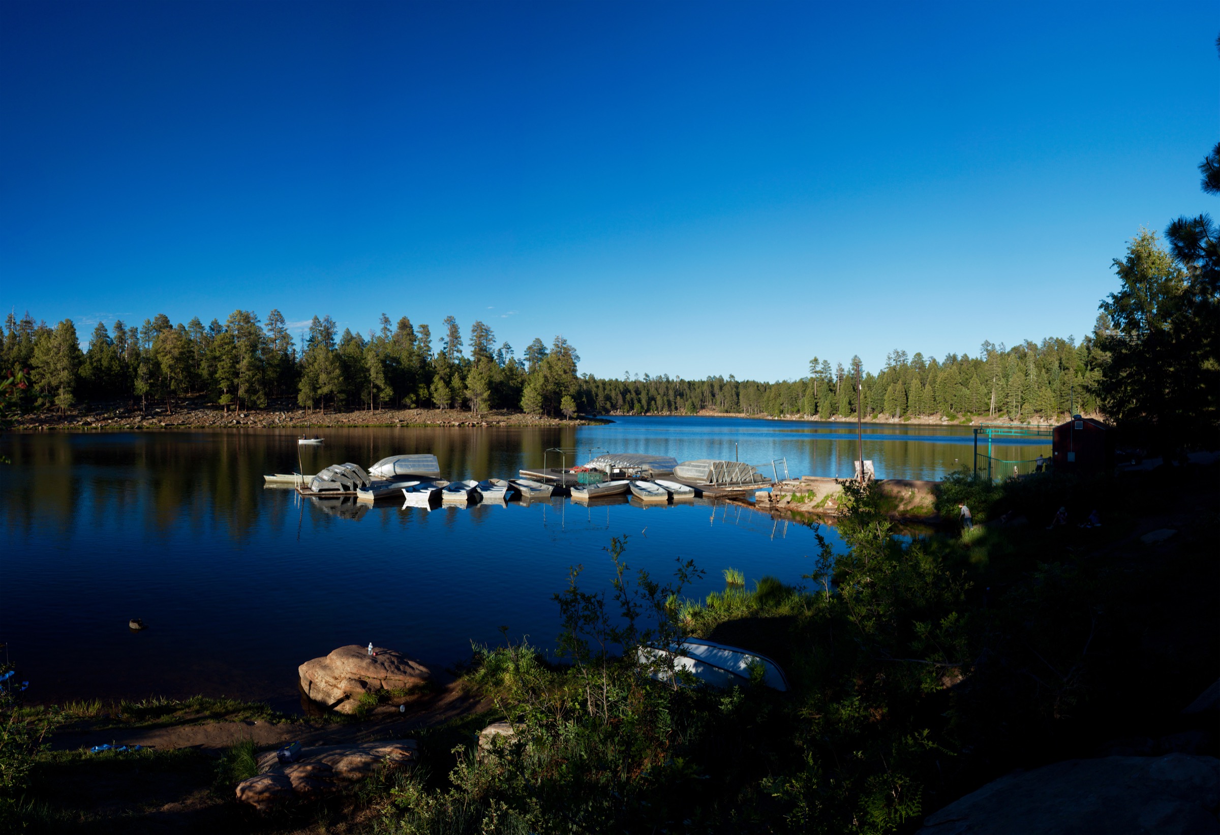
Walk the signed and established path around Woods Canyon Lake, using the marina and campground side for access and following the lakeshore through pine forest and rocky viewpoints.
Why it is essential
Woods Canyon Lake is the archetypal Rim Lakes summer escape and gives a short, scenic, high-elevation lake hike on top of the Rim.
Equipment
- Walking shoes
- Water and sun protection
- Rain shell
- Offline map
- Binoculars for seasonal eagle viewing
Hazards and notes
- Afternoon thunderstorms and high-elevation exposure.
- Muddy or icy tread in winter and spring.
- Some confusing lakeshore sections.
- Crowds and full parking in summer.
- Bald-eagle nesting reroute in force 1 April – 31 August on part of the loop.
GPX / route file
| Source | URL | Format | Notes |
|---|---|---|---|
| Apache-Sitgreaves National Forests — Woods Canyon Lake Trail | fs.usda.gov | Official route context | Trail / pathway description and access; no GPX exposed |
| Recreation.gov — Woods Canyon Lake Recreation Area | recreation.gov | Facility page | Lake elevation and facility notes |
| AllTrails — Woods Canyon Lake Loop | alltrails.com | Source route map | Distance, gain, time, season, route type and nesting-reroute note verified |
Sources
- Apache-Sitgreaves NF — Woods Canyon Lake Trail
- Recreation.gov — Woods Canyon Lake Recreation Area
- AllTrails — Woods Canyon Lake Loop
4. Rim Lakes Vista and Old Rim Road Loop
Snapshot
Itinerary
Walk the rim-side path and Old Rim Road segments near Military Sinkhole and Rim Lakes Vista, linking forest, campground edges and several open Mogollon Rim viewpoints.
Why it is essential
This is the most direct day-hike expression of the escarpment itself: airy views over the drop rather than a creek or lake destination.
Equipment
- Walking shoes
- Water and sun protection
- Wind or rain layer
- Offline map
Hazards and notes
- Rim-edge exposure at viewpoints.
- Wind and lightning.
- Ice or snow in winter.
- Occasional unclear junctions near the campground / Old Rim Road segments.
GPX / route file
| Source | URL | Format | Notes |
|---|---|---|---|
| AllTrails — Rim Lakes Vista and Old Rim Road Loop | alltrails.com | Source route map | Distance, gain, time, route type and dog status verified |
| Visit Arizona — Mogollon Rim | visitarizona.com | State tourism context | Rim Road, Woods Canyon Lake, Rim Lake Vista Trail and seasonal road notes verified |
Sources
5. Highline Trail #31: Two-Sixty Trailhead to See Canyon section
Snapshot
Itinerary
Use the eastern Highline Trail #31 access and follow the historic under-rim tread westward toward See Canyon / Christopher Creek country, turning around at a planned time or drainage. The route gives forest, side-canyon and Mogollon Rim views without committing to the full multi-day Highline Trail.
Why it is essential
The Highline is the classic historic trail “under the Tonto Rim,” tied to pioneer travel and later National Recreation Trail recognition; this section turns that long route into a feasible day hike.
Equipment
- Boots or sturdy trail shoes
- 2–3 L water minimum
- Snacks
- Sun protection
- Offline map / GPS
- Rain layer
Hazards and notes
- Rocky tread and muddy spring crossings.
- Exposure to sun and storms.
- Unreliable water except in seasonal drainages.
- Possible overgrowth or reroutes on longer Highline sections.
GPX / route file
| Source | URL | Format | Notes |
|---|---|---|---|
| Tonto National Forest — recreation opportunities | fs.usda.gov | Official trail context | Highline NRT description; no GPX exposed |
| AllTrails — Highline Trail #31 | alltrails.com | Source route map | Distance, gain, time, route type and season verified |
| Gaia GPS — Highline Trail #31 | gaiagps.com | Route page with GPX / KML download buttons | Route-file reuse unresolved; downloadable GPX / KML availability identified |
| Arizona Highways — The Highline Trail | arizonahighways.com | Guide / history source | Historic and National Recreation Trail context; not a route file |
Sources
- Tonto National Forest — recreation opportunities
- AllTrails — Highline Trail #31
- Gaia GPS — Highline Trail #31
- Arizona Highways — The Highline Trail
Region-level sources
| Source | URL |
|---|---|
| Visit Arizona — Mogollon Rim | visitarizona.com |
| Tonto National Forest — recreation opportunities | fs.usda.gov |
| Coconino National Forest — Bob Bear Trail No. 18 | fs.usda.gov |
| Apache-Sitgreaves NF — Woods Canyon Lake Trail | fs.usda.gov |
| Recreation.gov — Woods Canyon Lake Recreation Area | recreation.gov |
| Recreation.gov — Fossil Creek permits | recreation.gov |
| Arizona Highways — The Highline Trail | arizonahighways.com |
| AllTrails — Woods Canyon Lake Loop | alltrails.com |
| AllTrails — Rim Lakes Vista and Old Rim Road Loop | alltrails.com |
| AllTrails — Highline Trail #31 | alltrails.com |
| Gaia GPS — Highline Trail #31 | gaiagps.com |
| HikeArizona — Horton Creek Trail #285 | hikearizona.com |
| Komoot — Horton Creek Trail #285 | komoot.com |
| Wikimedia Commons — Mogollon Rim cover | commons.wikimedia.org |
| Wikimedia Commons — Horton Creek Trail | commons.wikimedia.org |
| Wikimedia Commons — Fossil Springs | commons.wikimedia.org |
| Wikimedia Commons — Woods Canyon Lake | commons.wikimedia.org |
Further reading
- Mazatzal Mountains — essential day-hikes — the wilder neighbouring range to the south-west
- Superstition Mountains — essential day-hikes — the desert range on the far side of the Tonto basin
Missing data / follow-up work
- No downloadable GPX / KML was retrieved from official Forest Service pages for any of the five routes; AllTrails, HikeArizona, Komoot and Gaia GPS geometry is available but subject to their proprietary terms.
- Maximum elevation for the Highline #31 day section (hike 5) is unresolved and needs profile confirmation.
- Horton Creek Trail distance discrepancy: HikeArizona 7.1 mi vs. the official listing’s 10-mile loop option; the current entry uses the out-and-back statistic explicitly.
- Rim Lakes Vista exact high point relies on the nearby Woods Canyon Lake elevation of 2,289 m and is approximate.
- FR 300 / Rim Road status is seasonal; check current Tonto and Apache-Sitgreaves alerts before departure.
- Fossil Creek permit availability on Recreation.gov changes seasonally and by day; check availability before travel.