Regional overview
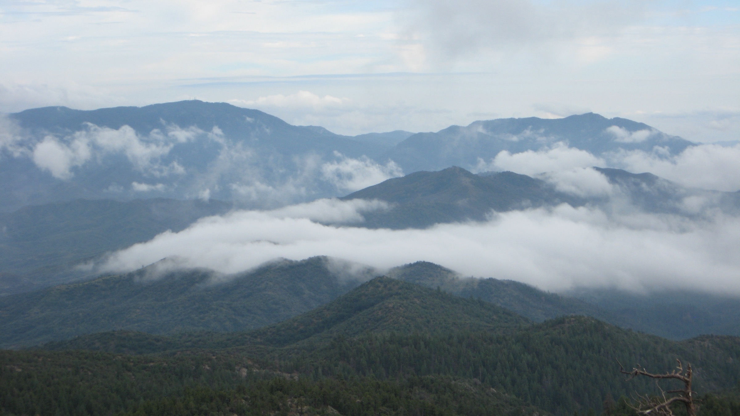
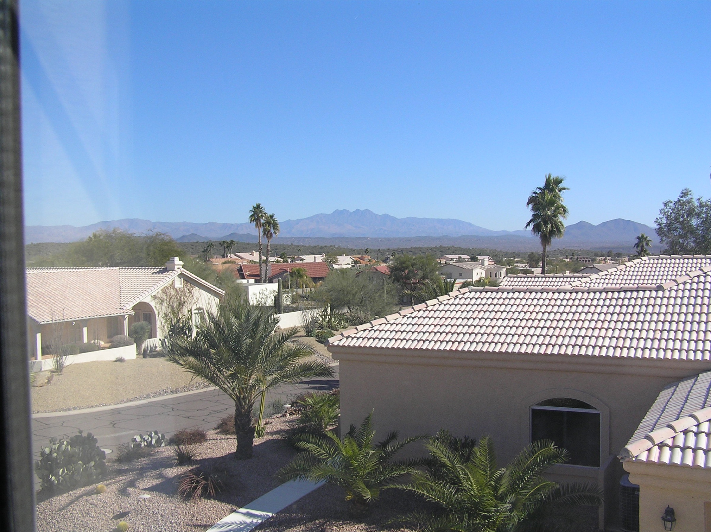
The Superstition Mountains rise sharply east of the Phoenix and Mesa metro area, with volcanic cliffs, Sonoran Desert foothills, canyon washes, seasonal pools and the famous Lost Dutchman and Weaver’s Needle landscape. Arizona State Parks identifies Lost Dutchman State Park as a Sonoran Desert park at the base of the Superstitions, with trails leading into the Superstition Wilderness and Tonto National Forest. Visit Arizona highlights the 2.4-mile Treasure Loop, the tougher Siphon Draw Trail and Flatiron as the most popular advanced hike in the “Supes.”
The walking character is hot, rocky, exposed and navigation-sensitive. Most essential routes are best from October through April, or very early in cool weather. Summer heat, monsoon storms, loose volcanic rock, catclaw, route-finding errors and limited water are the main risks. Current sources also show fire restrictions and park construction / detour notices, so state-park and Tonto National Forest checks are mandatory before travel.
See also: Mazatzal Mountains, Arizona · Santa Catalina Mountains, Arizona.
Selection rationale
The five hikes balance the west-side summit challenge, the iconic Weaver’s Needle viewpoint, a culturally important petroglyph canyon, a lake-to-canyon wilderness approach and a more interior Peralta / Bluff Spring loop. Official Arizona State Parks, Visit Arizona, Tonto National Forest, Visit Mesa, AllTrails, Trailforks, Gaia GPS and Wikimedia Commons sources were checked. Official route statistics are sparse outside the state-park trail network, so secondary route data are named where used.
Summary table
| # | Hike | Country | Route type | Distance | Gain | Max elevation | Difficulty |
|---|---|---|---|---|---|---|---|
| 1 | Flatiron / Superstition Peak 5024 via Siphon Draw | USA | Out-and-back | 8.9 km | 895 m | ~1,531 m | Hard / strenuous |
| 2 | Peralta Canyon to Fremont Saddle | USA | Out-and-back | 7.2 km | 418 m | 1,149 m | Moderate |
| 3 | Hieroglyphic Trail | USA | Out-and-back | 4.8 km | ~175–183 m | 817 m | Easy to moderate |
| 4 | Boulder Canyon Trail to viewpoint / La Barge approach | USA | Out-and-back | 8.0–16.4 km | 333–599 m | Unresolved | Moderate to hard |
| 5 | Bluff Spring Trail to Peralta Trail Bypass Loop | USA | Loop | 12.4 km | 614 m | Unresolved | Hard |
1. Flatiron / Superstition Peak 5024 via Siphon Draw
Snapshot
Itinerary
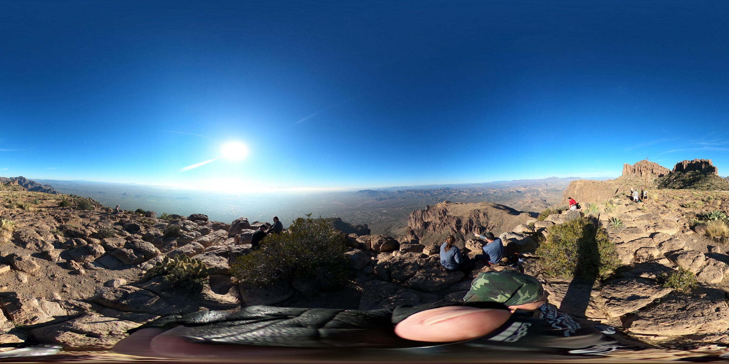
Begin at Lost Dutchman State Park and follow the Siphon Draw Trail into the basin, then continue up the steeper, rougher route through slickrock and boulder steps to the Flatiron / Superstition Peak 5024 area. Return the same way with care on the descent. Route-finding above the basin is the crux; hands-on Class 2–3 scrambling is required.
Why it is essential
Flatiron is the classic hard Phoenix-area desert mountain hike and the most recognisable summit-style day objective on the west face of the Superstitions.
Equipment
- Sticky-soled hiking shoes
- 3–4 L water minimum, even in cool weather
- Electrolytes
- Sun protection
- Gloves if desired for the scramble
- Offline map and GPS
- Headlamp
Hazards and notes
- Steep slickrock and hands-required scrambling.
- Route-finding above the basin is not obvious.
- Loose rock, rattlesnakes, heat and very limited shade.
- Lost Dutchman day-use fee applies; walk-in entry and hiker drop-off are not permitted.
- Rescue exposure — plan an early start.
GPX / route file
| Source | URL | Format | Notes |
|---|---|---|---|
| Arizona State Parks — Lost Dutchman, Ask a Ranger | azstateparks.com | Official park context | Park context, restrictions and Siphon Draw / Flatiron mention checked; not a route file |
| Visit Arizona — Lost Dutchman State Park | visitarizona.com | Official state tourism context | Siphon Draw, Flatiron, 5.8 mi round trip and 1,000 ft to basin checked; not a route file |
| AllTrails — Superstition Peak 5024 via Siphon Draw Trail | alltrails.com | Source route map | Distance, gain, route type, season and fee note checked; GPX export not retrieved |
| Gaia GPS — The Flatiron via Siphon Draw Trail | gaiagps.com | Source route page with GPX/KML download | Distance/gain and GPX/KML source availability checked; reuse licence unresolved |
| Trailforks — Flatiron from Lost Dutchman SP via Siphon Draw Trail | trailforks.com | Source route page | Distance, climb, descent, high point and route type checked |
Sources
- Arizona State Parks — Lost Dutchman, Ask a Ranger
- Visit Arizona — Lost Dutchman State Park
- AllTrails — Superstition Peak 5024 via Siphon Draw Trail
- Visit Mesa — Insider’s guide to Flatiron
2. Peralta Canyon Trail to Fremont Saddle
Snapshot
Itinerary
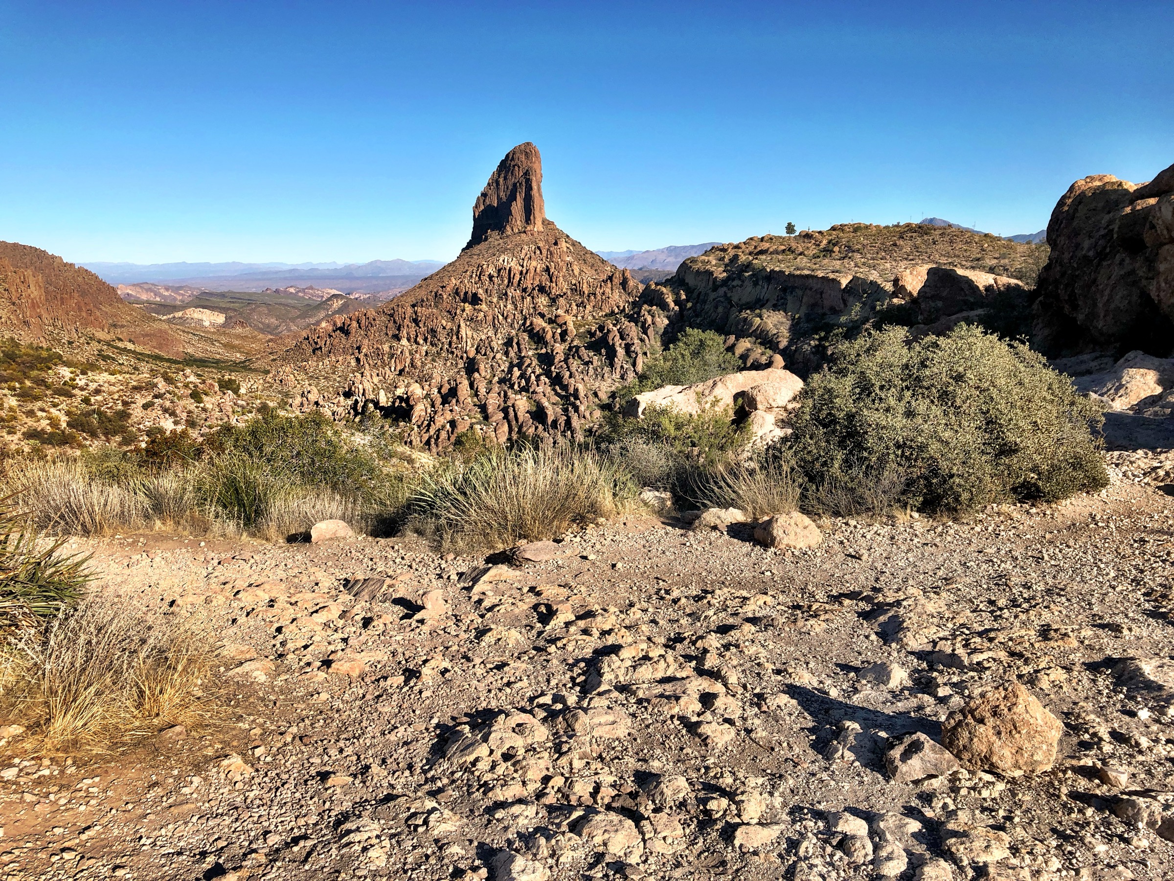
From Peralta Trailhead, climb Peralta Canyon on Trail #102 through volcanic cliffs and Sonoran vegetation to Fremont Saddle, where Weaver’s Needle appears across the basin. Return by the same canyon trail.
Why it is essential
The Fremont Saddle view of Weaver’s Needle is the most iconic non-technical Superstition viewpoint and a signature Arizona desert-mountain scene.
Equipment
- Hiking shoes
- 2–3 L water
- Sun protection
- Offline map
- Trekking poles useful for the descent
Hazards and notes
- Rocky tread and exposed climb.
- Heat and slick rock after rain.
- Crowding at Fremont Saddle on cool-season weekends.
- Limited or no water on route.
GPX / route file
| Source | URL | Format | Notes |
|---|---|---|---|
| Trails-Viewer — Fremont Saddle | trails-viewer.com | GPS / profile source | Distance, gain, loss, max elevation, coordinates and time checked; reuse licence unresolved |
| AllTrails — Fremont Saddle via Peralta Canyon Trail | alltrails.com | Source route map | Secondary cross-check; GPX export not retrieved |
Sources
- Trails-Viewer — Fremont Saddle
- AllTrails — Fremont Saddle via Peralta Canyon Trail
- Tonto National Forest — home
3. Hieroglyphic Trail
Snapshot
Itinerary
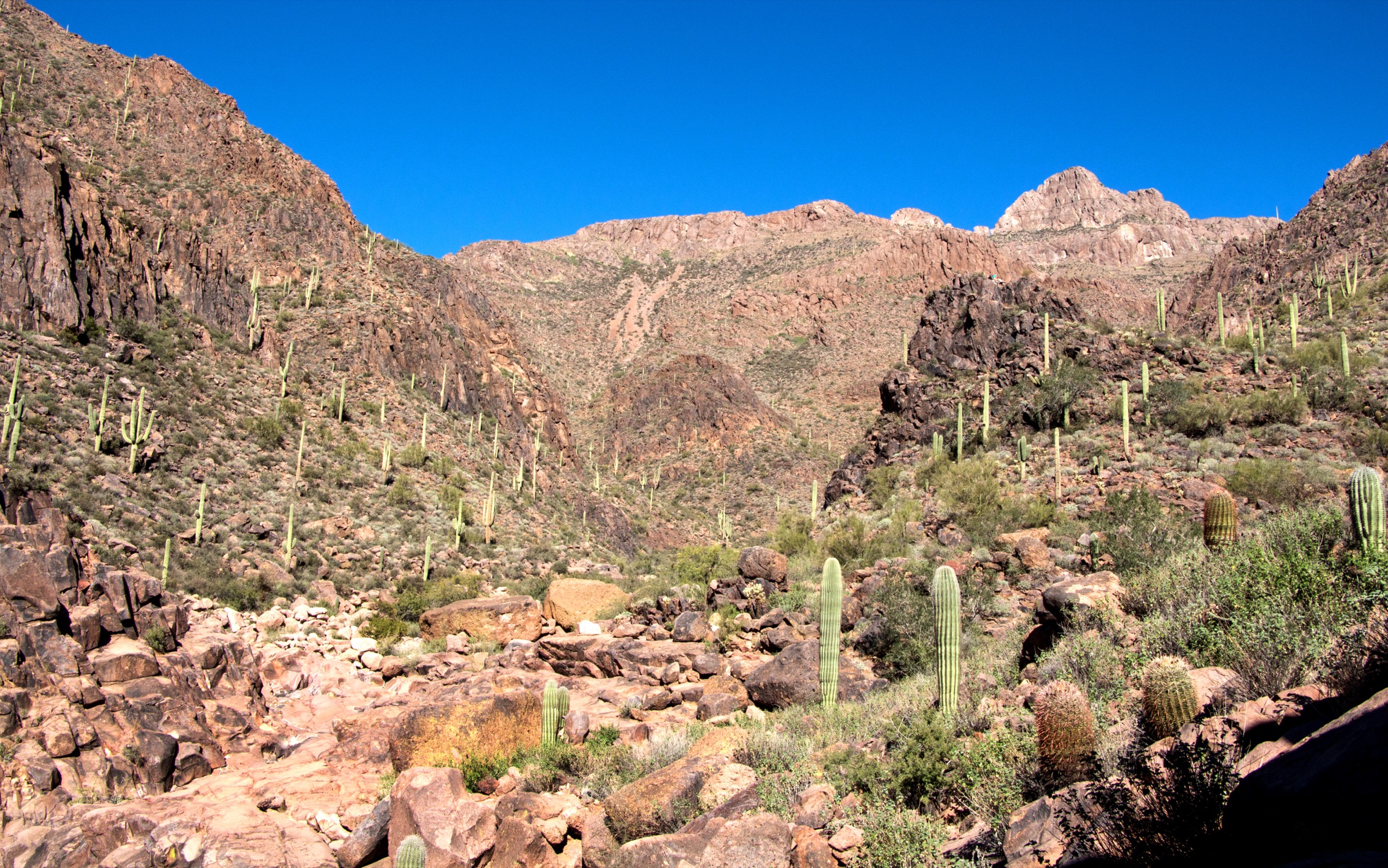
From Cloudview Avenue, follow the trail across cactus-covered foothills into a rocky canyon, ending at seasonal pools and Hohokam petroglyph panels. Return by the same route without touching, chalking or tracing the petroglyphs.
Why it is essential
This is the most accessible culturally significant hike in the Superstitions, combining Hohokam petroglyphs, canyon scenery and seasonal water in a short route.
Equipment
- Hiking shoes
- Water
- Sun protection
- Offline map
- Respect for cultural resources
Hazards and notes
- Heat and rocky upper wash.
- Slick rocks near pools.
- Cultural-site sensitivity — do not touch, chalk, trace or alter petroglyphs.
- Do not enter washes during storm risk.
GPX / route file
| Source | URL | Format | Notes |
|---|---|---|---|
| Visit Mesa — Hieroglyphic Trail | visitmesa.com | Tourism guide / route stats | Distance, gain, time, type, fees, dog status and cultural context checked |
| Trailforks — Hieroglyphic Trail | trailforks.com | Source route page | Distance, climb/descent and high point checked; reuse licence unresolved |
| American Southwest — Hieroglyphic Trail | americansouthwest.net | Guide source | Trailhead, one-way length, elevation change and seasonal note checked |
Sources
- Visit Mesa — Hieroglyphic Trail
- Trailforks — Hieroglyphic Trail
- American Southwest — Hieroglyphic Trail
4. Boulder Canyon Trail to Boulder Canyon Viewpoint / La Barge approach
Snapshot
Itinerary
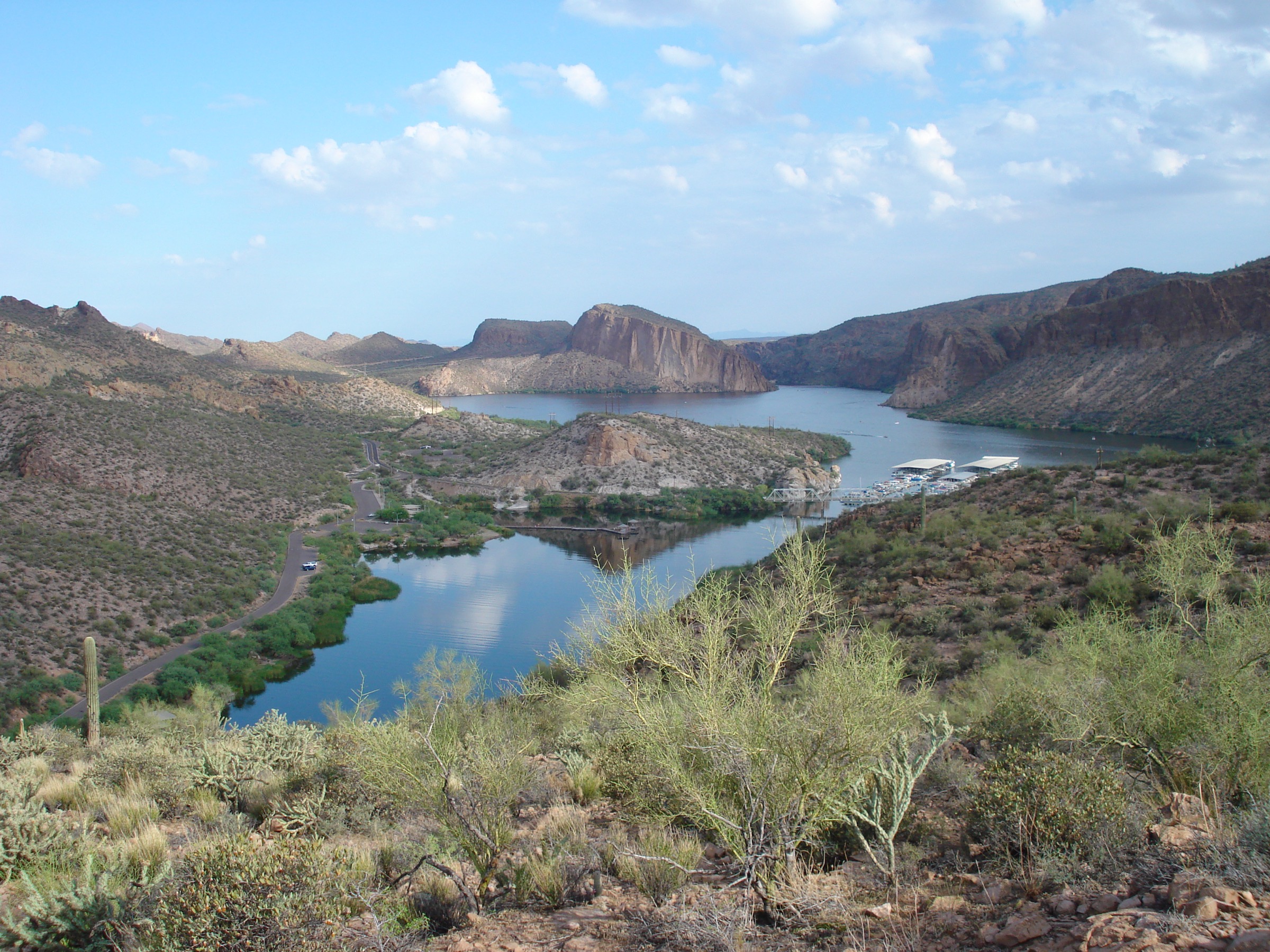
From the Canyon Lake side, climb south from the marina / trailhead area for lake and canyon views, then descend toward Boulder / La Barge Canyon. Most day hikers should choose a planned viewpoint or canyon turnaround rather than continue deep into the wilderness.
Why it is essential
Boulder Canyon is the Superstitions’ best lake-to-desert-canyon day route, with immediate views over Canyon Lake and a gateway feel into the northern wilderness.
Equipment
- Hiking shoes
- 2–3 L water
- Sun protection
- Long pants for brush
- Offline map
- Trekking poles for the loose descent
Hazards and notes
- Exposed climb and rocky trail with brush.
- Wash route-finding; possible creek crossings after rain.
- Rattlesnakes and heat.
- Canyon Lake parking constraints and 2026 drawdown starting 16 September 2026 may affect access.
GPX / route file
| Source | URL | Format | Notes |
|---|---|---|---|
| Tonto National Forest — Canyon Lake | fs.usda.gov | Official access / area source | Access, parking, passes and 2026 drawdown notice checked; no route GPX exposed |
| AllTrails — Boulder Canyon Trail | alltrails.com | Source route map | Full-route distance, gain, time, season and route type checked; GPX export not retrieved |
| AllTrails — Superstition Wilderness trail-running list | alltrails.com | Source route list | Boulder Canyon viewpoint distance / gain / time checked |
| American Southwest — Boulder Canyon Trail | americansouthwest.net | Guide source | Trailhead, one-way distance to La Barge Canyon and route character checked |
Sources
- Tonto National Forest — Canyon Lake
- AllTrails — Boulder Canyon Trail
- American Southwest — Boulder Canyon Trail
5. Bluff Spring Trail to Peralta Trail Bypass Loop
Snapshot
Itinerary
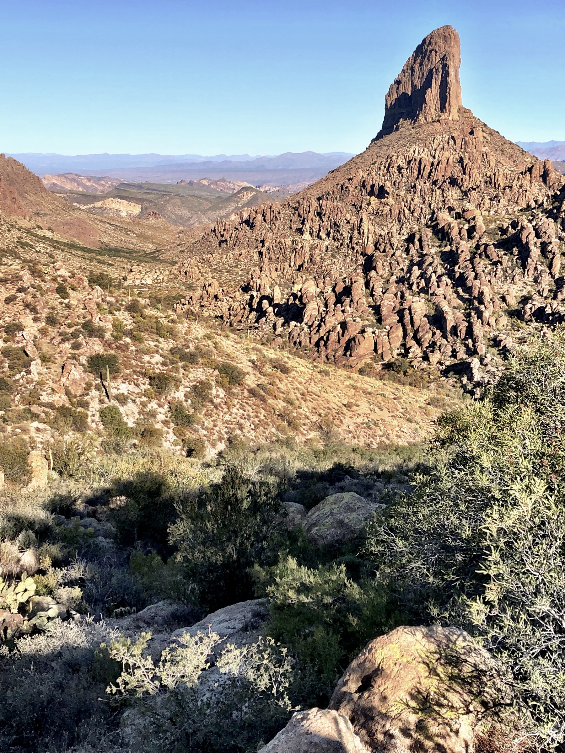
From Peralta Trailhead, take Bluff Spring Trail northward, continue via the Terrapin / Bypass connection across the front of Weaver’s Needle, then return on the Peralta Trail past Fremont Saddle and Peralta Canyon.
Why it is essential
This is a compact interior Superstition loop that moves beyond the single viewpoint hike and gives a fuller Weaver’s Needle and canyon-country experience.
Equipment
- Sturdy footwear
- 3 L water minimum
- Sun protection
- Long pants / sleeves for brush
- Offline map and GPS
- Trekking poles
Hazards and notes
- Overgrown sections and loose rock.
- Route-finding on the Bypass / cross-over.
- Bouldery sections, heat and no reliable water.
- Fire restrictions on Tonto NF should be checked before travel.
GPX / route file
| Source | URL | Format | Notes |
|---|---|---|---|
| AllTrails — Bluff Spring Trail to Peralta Trail Bypass | alltrails.com | Source route map | Distance, gain, loop type, season and route description checked; GPX export not retrieved |
| Tonto National Forest — home / recreation | fs.usda.gov | Official forest context | Area, fire and pass context; not a route file |
Sources
Further reading
- Arizona State Parks — Lost Dutchman
- Visit Arizona — Lost Dutchman State Park
- Tonto National Forest — Canyon Lake
- Visit Mesa — Insider’s guide to Flatiron
- Visit Mesa — Hieroglyphic Trail
- American Southwest — Superstition Mountains
- Wikimedia Commons — Superstition Mountains category
Missing data / follow-up work
- Retrieve or create clean, licence-safe GPX files from official sources or OSM rather than reusing proprietary trail-database tracks.
- Verify maximum elevation for Boulder Canyon Trail and the Bluff Spring loop.
- Recheck Lost Dutchman day-use rules and fire restrictions immediately before travel.
- Recheck Canyon Lake access and the 16 September 2026 drawdown notice before publication.
- Find open, route-specific images for the Bluff Spring / Bypass segment as the current image is representative rather than exact.