Regional overview
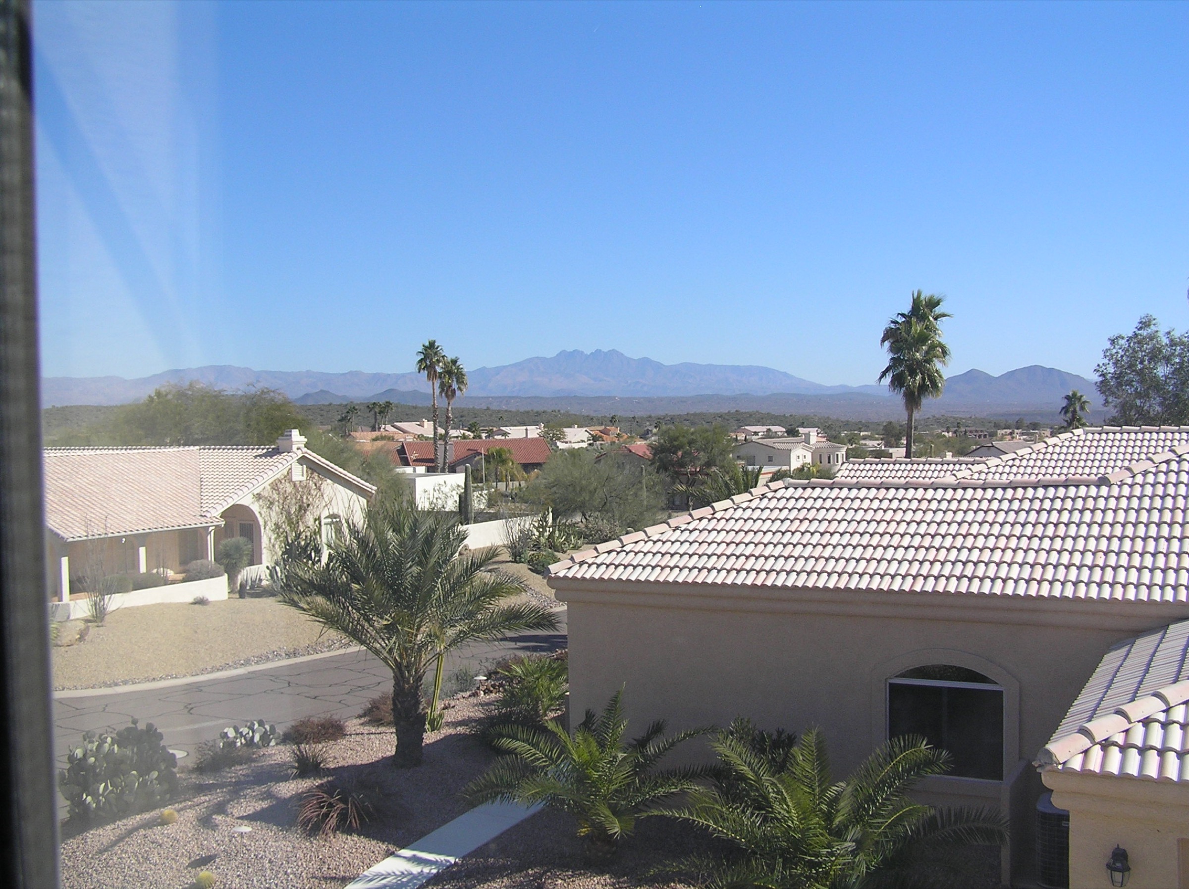
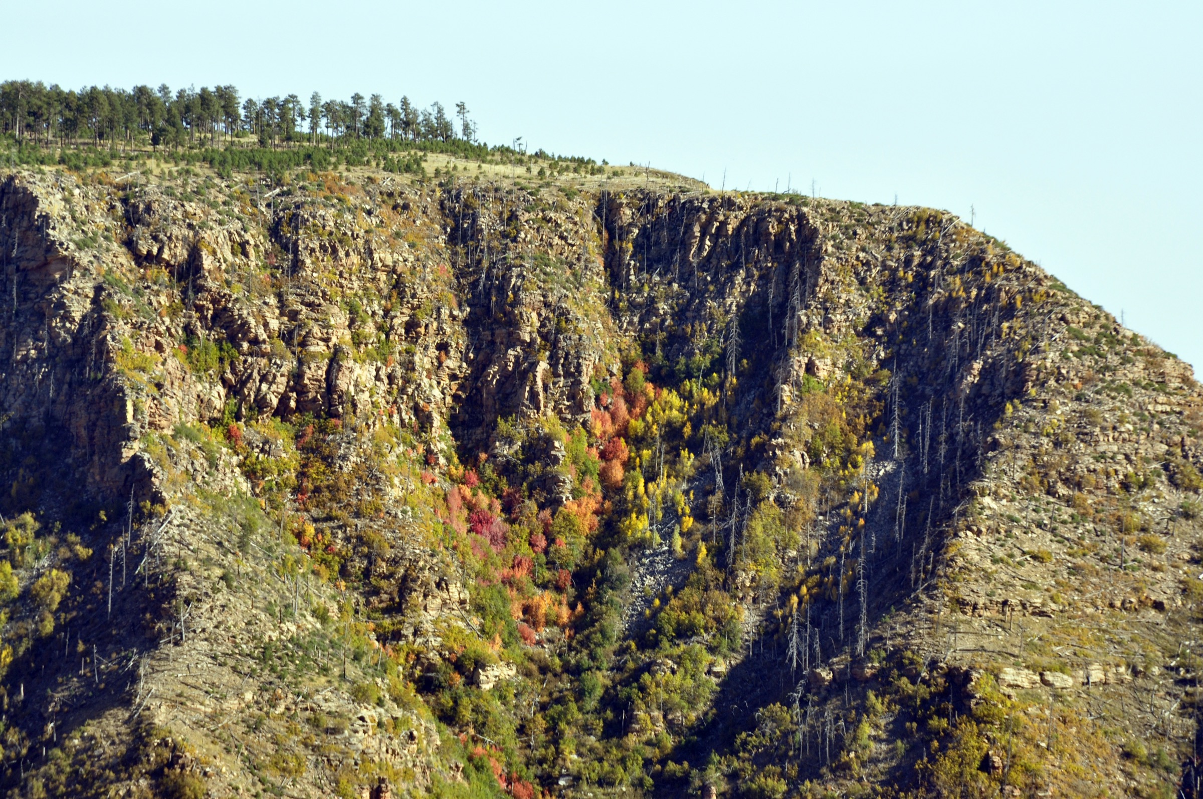
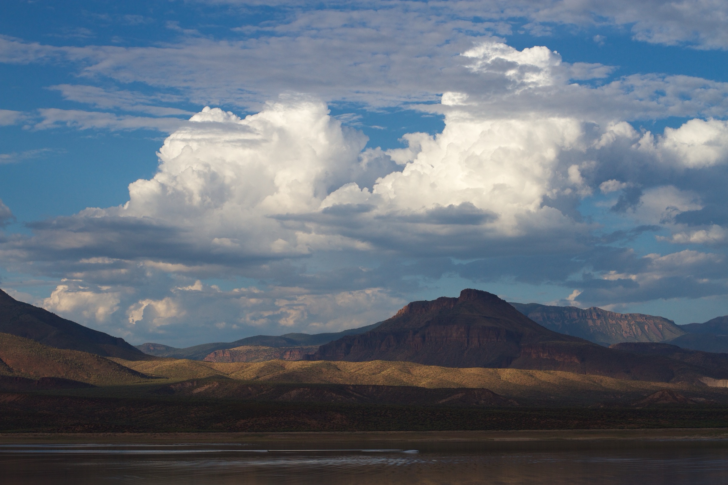
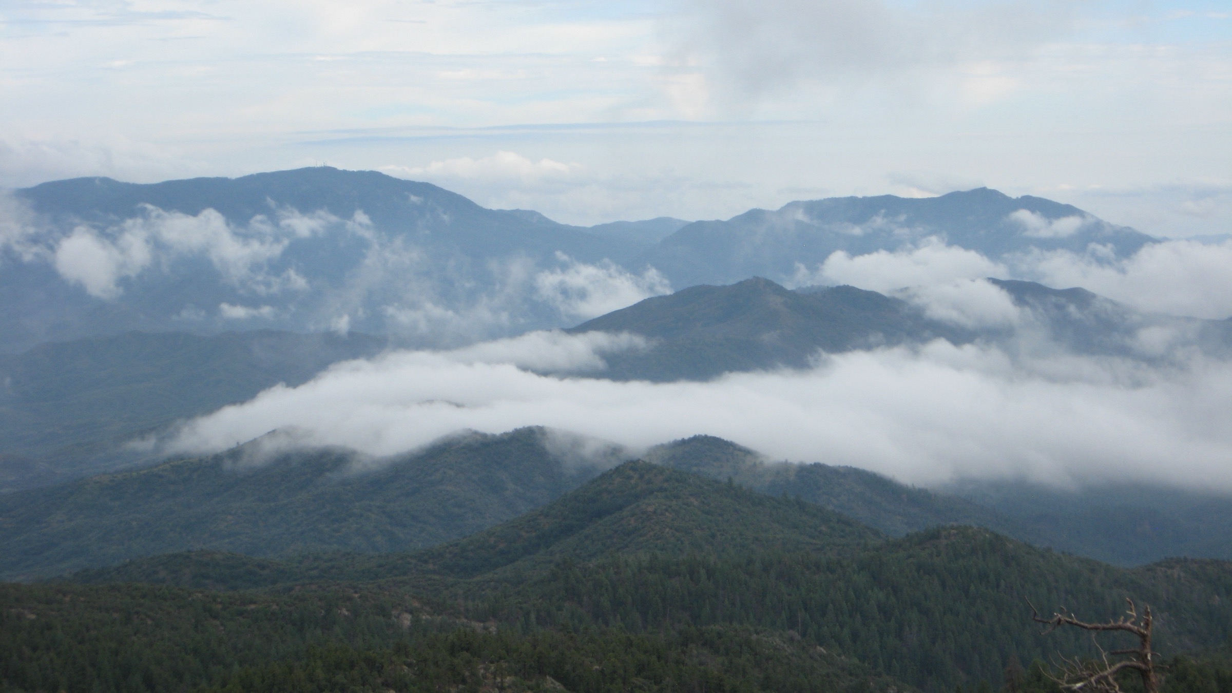
The Bradshaw Mountains form the forested high country south of Prescott in central Arizona. The National Forest Foundation describes the range as one of the world’s most mineralised mountain chains, with mining settlement beginning in the mid-1800s, and identifies Mount Union as the high point of the Prescott National Forest at close to 8,000 ft. The hiking country runs through ponderosa pine, oak and juniper, seasonal creeks, old mining and wagon-road corridors, fire lookouts and the lake basins on the Prescott side.
The walking character is more trail-network based than in the Sierra Ancha or the Mazatzals: many routes are shared by hikers, mountain bikers, horses and — where permitted — OHVs. Conditions are generally accessible near Prescott, Groom Creek, Thumb Butte, Goldwater Lake and Lynx Lake, but the Mount Union high country and the southern Bradshaws remain remote, rocky and road-condition dependent.
At verification, Prescott National Forest Stage 1 fire restrictions were reported as effective from 21 May through 30 September 2026 unless rescinded; check current Prescott National Forest alerts before travel.
Selection rationale
The five routes cover the essential Bradshaw day-hike spread: a classic fire-lookout loop, the highest summit, Prescott’s iconic butte, a forest-and-lake loop, and a seasonal creek-and-waterfall loop. Official Forest Service, Recreation.gov and City of Prescott sources were prioritised for access, restrictions and area context; AllTrails, onX, HikeArizona, Komoot and local guide-style pages were used for route statistics where the official pages did not publish them.
Thumb Butte Trail #33 is shorter than the usual 5 km day-hike floor, but it is retained because it is the iconic Prescott landmark hike and is widely documented.
Summary
| # | Hike | Trailhead | Route type | Distance | Gain | Max elevation | Difficulty |
|---|---|---|---|---|---|---|---|
| 1 | Spruce Mountain via Groom Creek Loop Trail #307 | Groom Creek Loop TH, opposite Horse Camp | Loop with lookout spur | 14.6–15.0 km | 450–492 m | ~2,345 m (7,693 ft) | Moderate |
| 2 | Mount Union via Dandrea #285 and Yankee Doodle #284 | Potato Patch / Poachers Row | Out-and-back summit | 6.1–6.8 km | 229–325 m | 2,426–2,432 m (7,957–7,979 ft) | Moderate–strenuous |
| 3 | Thumb Butte Trail #33 | Thumb Butte Recreation Area | Short loop with viewpoint spur | 3.1 km | 183 m | 1,927 m (6,322 ft) | Moderate |
| 4 | Goldwater Lakes Trail #396 | Goldwater Lake Park / White Spar side | Forest-and-lake loop | 9.3 km | 202 m | Not verified | Moderate |
| 5 | Wolf Creek Loop Trail #384 | Groom Creek Horse Camp / FR C101 | Loop with optional waterfall spur | 7.9–8.5 km | 195–240 m | Not verified | Moderate |
1. Spruce Mountain via Groom Creek Loop Trail #307
Snapshot
Itinerary
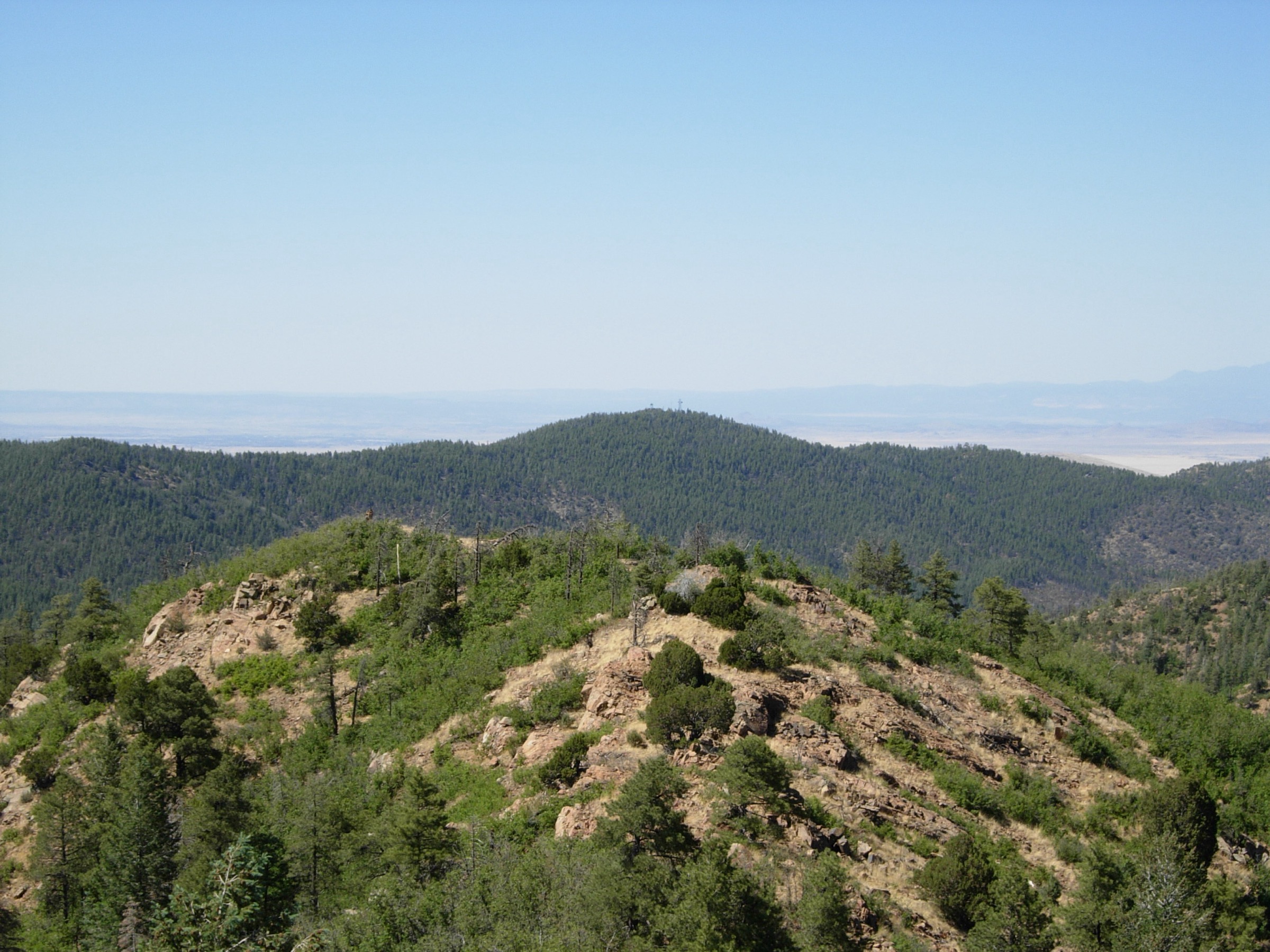
From the signed Groom Creek Loop Trailhead, climb through ponderosa pine and oak forest toward Spruce Mountain. Take the short spur to the lookout for views over the Bradshaws, Prescott Basin, Granite Mountain and the surrounding highlands, then continue the loop descent back to FR 52.
Why it is essential
Groom Creek is the classic Prescott high-country training hike and fire-lookout loop, giving a sustained but non-technical climb in the northern Bradshaws.
Equipment
- Sturdy shoes, water, sun protection.
- Wind or rain layer — the lookout is exposed.
- Awareness of shared use with horses and mountain bikes.
Hazards and notes
- Rocky tread and shared-use traffic.
- Lightning near the lookout in summer.
- Snow and ice in winter.
- No water at the trailhead.
GPX / route file
| Source | URL | Format | Notes |
|---|---|---|---|
| Recreation.gov — Groom Creek Horse Camp | recreation.gov | Official access / area page | Trailhead location, 9 mi trail note, shared users and directions |
| Recreation.gov — Groom Creek Trailhead #307 | recreation.gov | Official trailhead page | Parking, vault toilet, no-water note |
| AllTrails — Spruce Mountain via Groom Creek Loop | alltrails.com | Source route map | Distance, gain, time, route type, difficulty and season checked; AllTrails terms apply |
| Komoot — Groom Creek Loop Trail #307 | komoot.com | Source route map | Secondary distance / gain / time checked; GPX access likely account-gated |
No official Forest Service GPX or KML was found for this route.
Sources
- Recreation.gov — Groom Creek Horse Camp
- Recreation.gov — Groom Creek Equestrian Trail #307 Trailhead
- AllTrails — Spruce Mountain via Groom Creek Loop (#307)
- Komoot — Groom Creek Loop Trail #307
2. Mount Union via Dandrea #285 and Yankee Doodle #284
Snapshot
Photo status: no in-body figure was shipped in this pass. A licence-compatible summit-view image exists on Wikimedia Commons — Bradshaw Mountains during monsoon season (Kraig Schlueter, CC BY 3.0), taken looking south from the Mount Union summit — and can be sourced as a follow-up.
Itinerary
From the Potato Patch / Poachers Row access, follow Dandrea Trail #285 uphill through shaded forest and seasonal drainage terrain, then turn onto Yankee Doodle Trail #284 for the final summit approach to Mount Union’s lookout and communications area. Return by the same route.
Why it is essential
Mount Union is the high point of the Bradshaw Mountains and the Prescott National Forest, with long views over the southern Bradshaws and the Verde valley beyond.
Equipment
- Sturdy shoes or boots.
- Water and food.
- Offline map / GPS.
- Layers and a road / closure backup plan.
Hazards and notes
- Rough access roads; check FR condition before travel.
- Rocky tread and possible deadfall on Dandrea and Yankee Doodle.
- Towers and equipment at the summit.
- Summer lightning near the lookout is a serious hazard.
GPX / route file
| Source | URL | Format | Notes |
|---|---|---|---|
| onX — Mount Union from Potato Patch | onxmaps.com | Source route map | Distance, gain / loss, high / low point and route description checked; onX terms apply |
| HikeArizona — Yankee Doodle Trail #284 | hikearizona.com | Community route data | Trail character, Mount Union high-point statement and multi-use restrictions checked |
| HikeArizona — Mount Union triplog index | hikearizona.com | Community triplog source | Recent route use and Groom Creek approach alternatives checked |
| AZ Utopia — Dandrea Hiking Trail to Mount Union | azutopia.com | Guide-style route page | Poachers Row route, distance, time, gain and season notes checked |
No official Forest Service GPX or KML was found for this route.
Sources
- onX — Mount Union from Potato Patch
- HikeArizona — Yankee Doodle Trail #284
- HikeArizona — Mount Union, Bradshaw Mountains
- AZ Utopia — Dandrea Hiking Trail to Mount Union
- National Forest Foundation — Prescott National Forest
3. Thumb Butte Trail #33
Snapshot
Photo status: no in-body figure was shipped in this pass. A CC BY-SA 3.0 image of Thumb Butte by Benjamin Cody / Murderbike exists on Wikimedia Commons and can be sourced.
Itinerary
From the Thumb Butte Recreation Area, follow Trail #33 around the butte’s forested western slope and steeper eastern side. A short spur near the crest gives a Prescott-area viewpoint; the actual rocky summit may be closed or unsuitable for access during wildlife-protection periods.
Why it is essential
Thumb Butte is Prescott’s signature skyline hike: short, steep, popular, interpretive, and highly representative of the Prescott-side Bradshaw foothills.
Equipment
- Shoes with grip.
- Water and sun protection.
- Winter traction in icy conditions.
Hazards and notes
- Steep paved switchbacks on one side; loose dirt and rock on the other.
- Cliff and crest exposure if leaving the official trail.
- Wildlife-closure areas near the top — do not attempt the summit rock during posted closures.
GPX / route file
| Source | URL | Format | Notes |
|---|---|---|---|
| AllTrails — Thumb Butte Trail #33 | alltrails.com | Source route map | Distance, gain, time, route type, dog status, fee and closure notes checked; AllTrails terms apply |
| onX — Thumb Butte Loop Trail #33 | onxmaps.com | Source route map | High / low point, gain / loss, route description and heavy-use note checked |
| Prescott NF Flickr — Thumb Butte Trail #33 album | flickr.com | Official photo album | Route context; individual photo licences must be checked |
| Recreation.gov — Prescott NF Day Use Pass | recreation.gov | Official pass page | Pass locations and Wednesday fee-free note |
No official Forest Service GPX or KML was found for this route.
Sources
- AllTrails — Thumb Butte Trail #33
- onX — Thumb Butte Loop Trail #33
- Prescott NF Flickr — Thumb Butte Trail #33
- Recreation.gov — Prescott National Forest Day Use Pass
4. Goldwater Lakes Trail #396
Snapshot
Itinerary
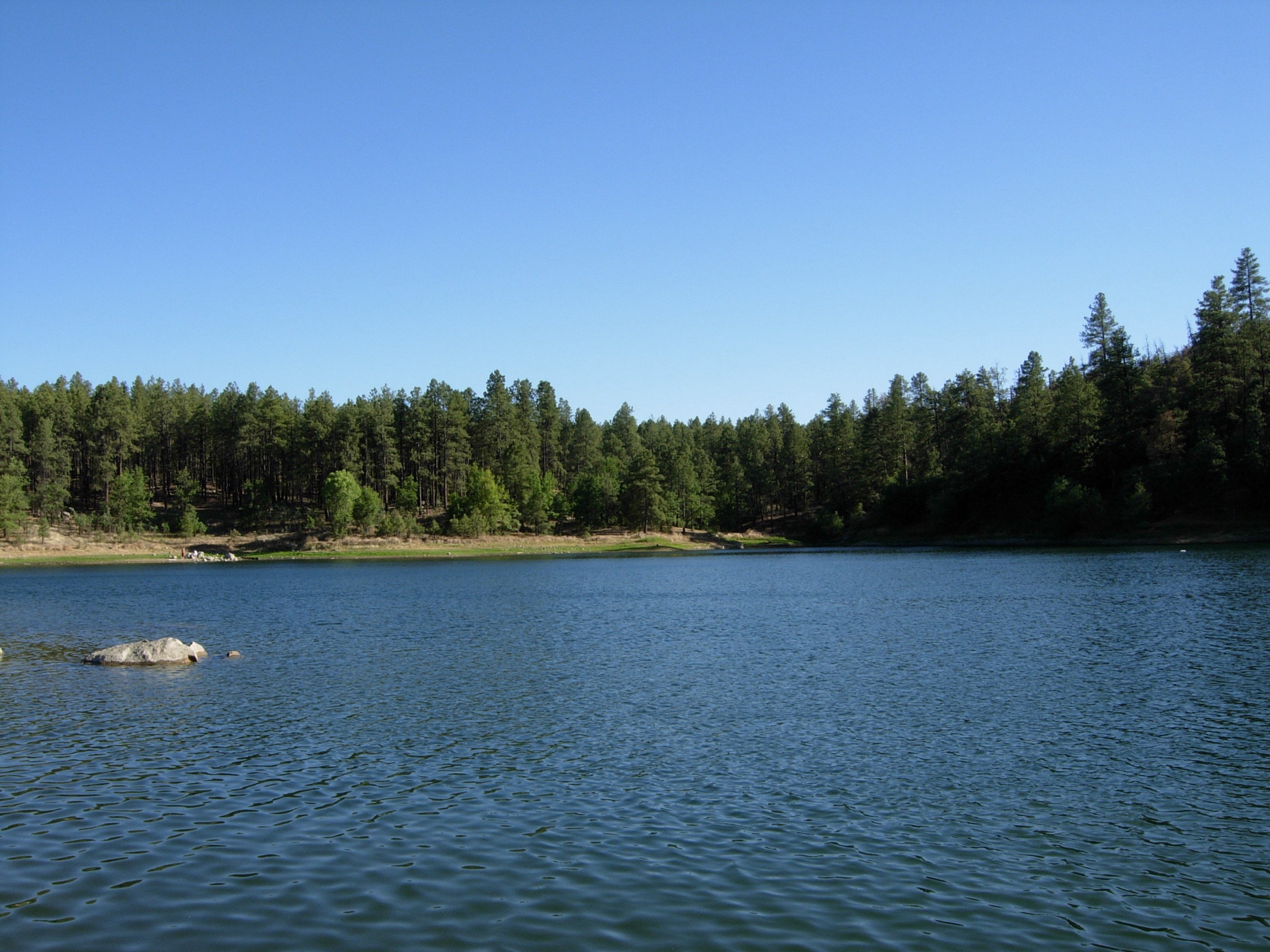
From Goldwater Lake or a connected Trail #396 access, follow the signed forest loop around the Upper and Lower Goldwater Lakes. The main loop stays mostly in pine / oak forest with optional lake-edge detours where permitted. Stay on trail and do not shortcut across restricted water-department property.
Why it is essential
Goldwater is the compact forest-lake hike of the Prescott Bradshaws — scenery, accessibility, shade and a moderate distance in one loop.
Equipment
- Comfortable trail shoes, water, sun protection.
- Map / offline navigation for the trail intersections.
Hazards and notes
- Mountain-bike traffic and confusing side trails.
- No swimming; keep off restricted water-department property.
- Possible muddy or icy sections after storms.
GPX / route file
| Source | URL | Format | Notes |
|---|---|---|---|
| City of Prescott — Goldwater Lake | prescott-az.gov | Official lake / access page | Location, parking fee, hours, lake rules and hiking-trail presence |
| AllTrails — Goldwater Lakes Trail 396 | alltrails.com | Source route map | Distance, gain, time, loop type, difficulty, season, dog status and property-shortcut warning checked; AllTrails terms apply |
No official Forest Service GPX or KML was found for this route.
Sources
5. Wolf Creek Loop Trail #384
Snapshot
Photo status: no in-body figure was shipped in this pass. A public-domain-marked Prescott NF Flickr image of the Lower Wolf Creek Campground area exists as a regional stand-in candidate.
Itinerary
From the Groom Creek / Wolf Creek access, link Horse Camp Loop #383 and Wolf Creek Loop #384, or start from the FR C101 side. Follow the loop through pine forest, rocky old-road tread, seasonal drainages and the optional Wolf Creek Falls side trip when flow and navigation are reasonable.
Why it is essential
Wolf Creek adds the Bradshaws’ creek-and-waterfall element to this set, with a quieter, rougher feel than Groom Creek or Goldwater — and it stays feasible as a half-day hike from Prescott.
Equipment
- Sturdy footwear; poles if descending loose rock.
- Water, sun protection.
- Navigation for the waterfall spur.
Hazards and notes
- Loose rock and muddy sections after rain.
- Stream crossings; the waterfall spur can require light route-finding.
- Shared use with bikes, horses and possible OHV traffic on nearby roads.
GPX / route file
| Source | URL | Format | Notes |
|---|---|---|---|
| Recreation.gov — Groom Creek Horse Camp | recreation.gov | Official access / area page | Trail #384 access via Horse Camp Loop #383 and FR C101 confirmed |
| AllTrails — Wolf Creek Loop Trail #384 | alltrails.com | Source route map | Distance, gain, time, route type, season, dog status and creek / waterfall hazards checked; AllTrails terms apply |
| The Outbound — Wolf Creek Loop Trail #384 | theoutbound.com | Route page with GPX download control | Secondary distance / gain and GPX availability checked; The Outbound terms apply |
| Prescott Woman — Wolf Creek Loop Hike | prescottwomanmagazine.com | Local guide article | Northern Bradshaw location, 5-mi loop, seasonal 90-ft waterfall detour and steep / rough notes checked |
No official Forest Service GPX or KML was found for this route.
Sources
- Recreation.gov — Groom Creek Horse Camp
- AllTrails — Wolf Creek Loop Trail #384
- The Outbound — Wolf Creek Loop Trail #384
- Prescott Woman — Wolf Creek Loop
Region-level sources
| Source | URL |
|---|---|
| National Forest Foundation — Prescott National Forest | nationalforests.org |
| Recreation.gov — Groom Creek Horse Camp | recreation.gov |
| Recreation.gov — Groom Creek Trailhead #307 | recreation.gov |
| Recreation.gov — Prescott NF Day Use Pass | recreation.gov |
| City of Prescott — Goldwater Lake | prescott-az.gov |
| AllTrails — Spruce Mountain via Groom Creek Loop | alltrails.com |
| AllTrails — Thumb Butte Trail #33 | alltrails.com |
| AllTrails — Goldwater Lakes Trail 396 | alltrails.com |
| AllTrails — Wolf Creek Loop Trail #384 | alltrails.com |
| onX — Mount Union from Potato Patch | onxmaps.com |
| onX — Thumb Butte Loop Trail #33 | onxmaps.com |
| HikeArizona — Yankee Doodle Trail #284 | hikearizona.com |
| Komoot — Groom Creek Loop Trail #307 | komoot.com |
| The Outbound — Wolf Creek Loop Trail #384 | theoutbound.com |
| AZ Utopia — Dandrea Hiking Trail to Mount Union | azutopia.com |
| Prescott Woman — Wolf Creek Loop | prescottwomanmagazine.com |
| Wikimedia Commons — Bradshaw Mountains during monsoon season | commons.wikimedia.org |
| Wikimedia Commons — Thumb Butte | commons.wikimedia.org |
| Wikimedia Commons — Goldwater Lake | commons.wikimedia.org |
Missing data / follow-up work
- No official Forest Service GPX or KML was found for any of the five hikes.
- Licence-compatible photo candidates flagged but not shipped — Bradshaw Mountains during monsoon season (Kraig Schlueter, CC BY 3.0) for Mount Union, Thumb Butte (Benjamin Cody, CC BY-SA 3.0), Goldwater Lake (Benjamin Cody, CC BY-SA 3.0), and public-domain-marked Prescott NF Flickr images for the Groom Creek Loop trailhead and Lower Wolf Creek Campground.
- Maximum elevations for Goldwater Lakes Trail #396 and Wolf Creek Loop #384 were not found in public sources during this pass.
- Mount Union access status should be re-checked with the Prescott National Forest before publication; public sources agree on the objective but differ on distance / gain and note road complications.
- Fire-restriction status — Prescott NF Stage 1 restrictions were reported effective 21 May – 30 September 2026 unless rescinded. Re-check on the day of travel.