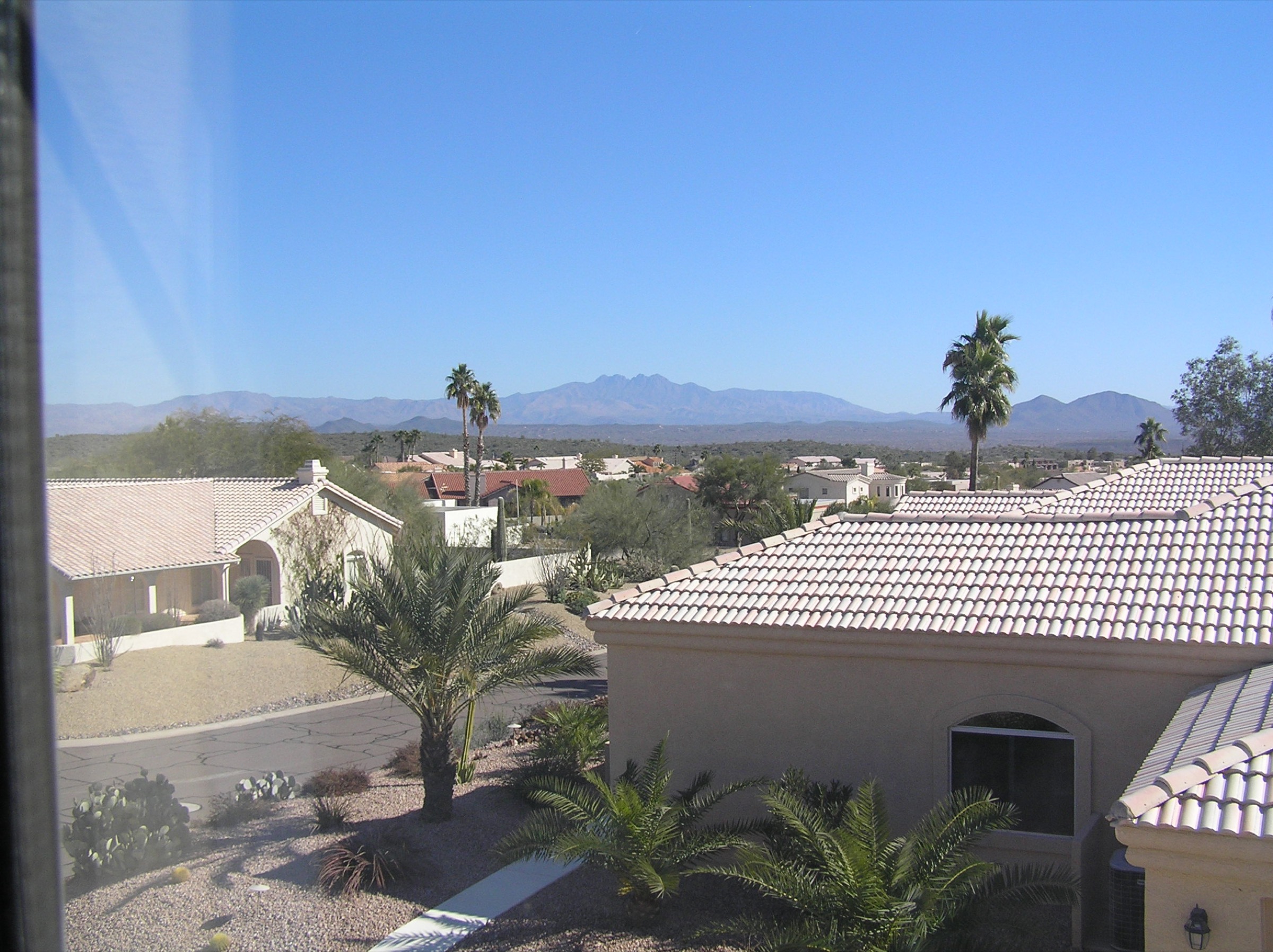
Regional overview
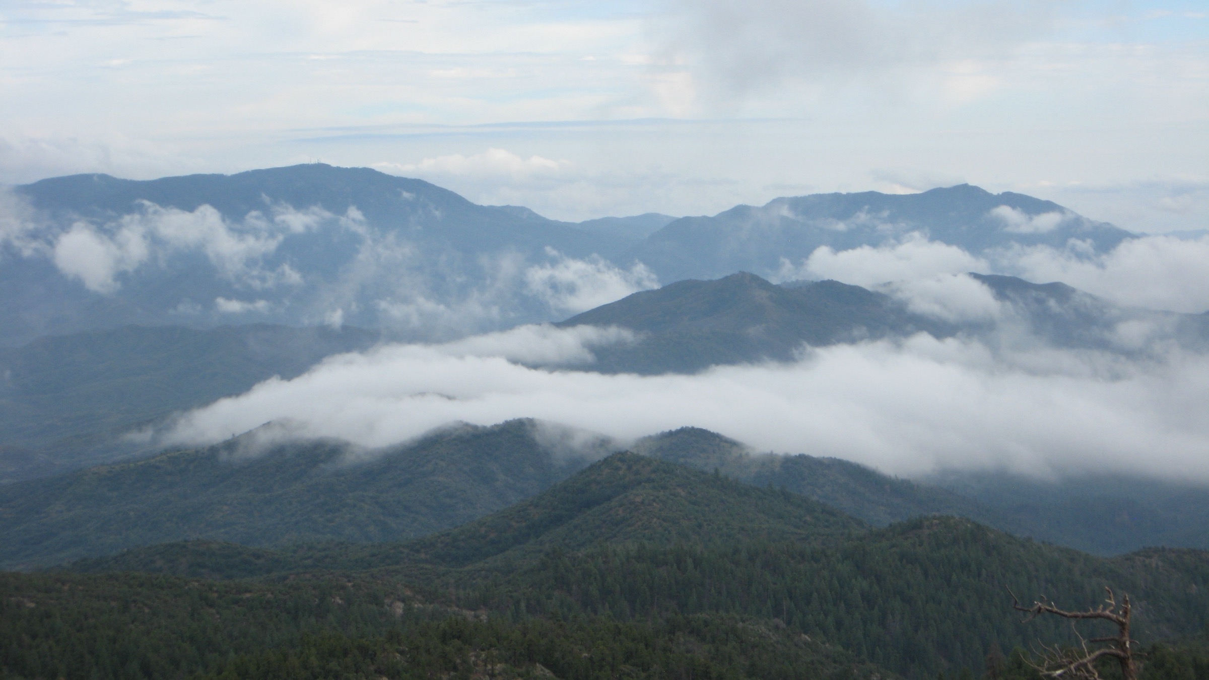
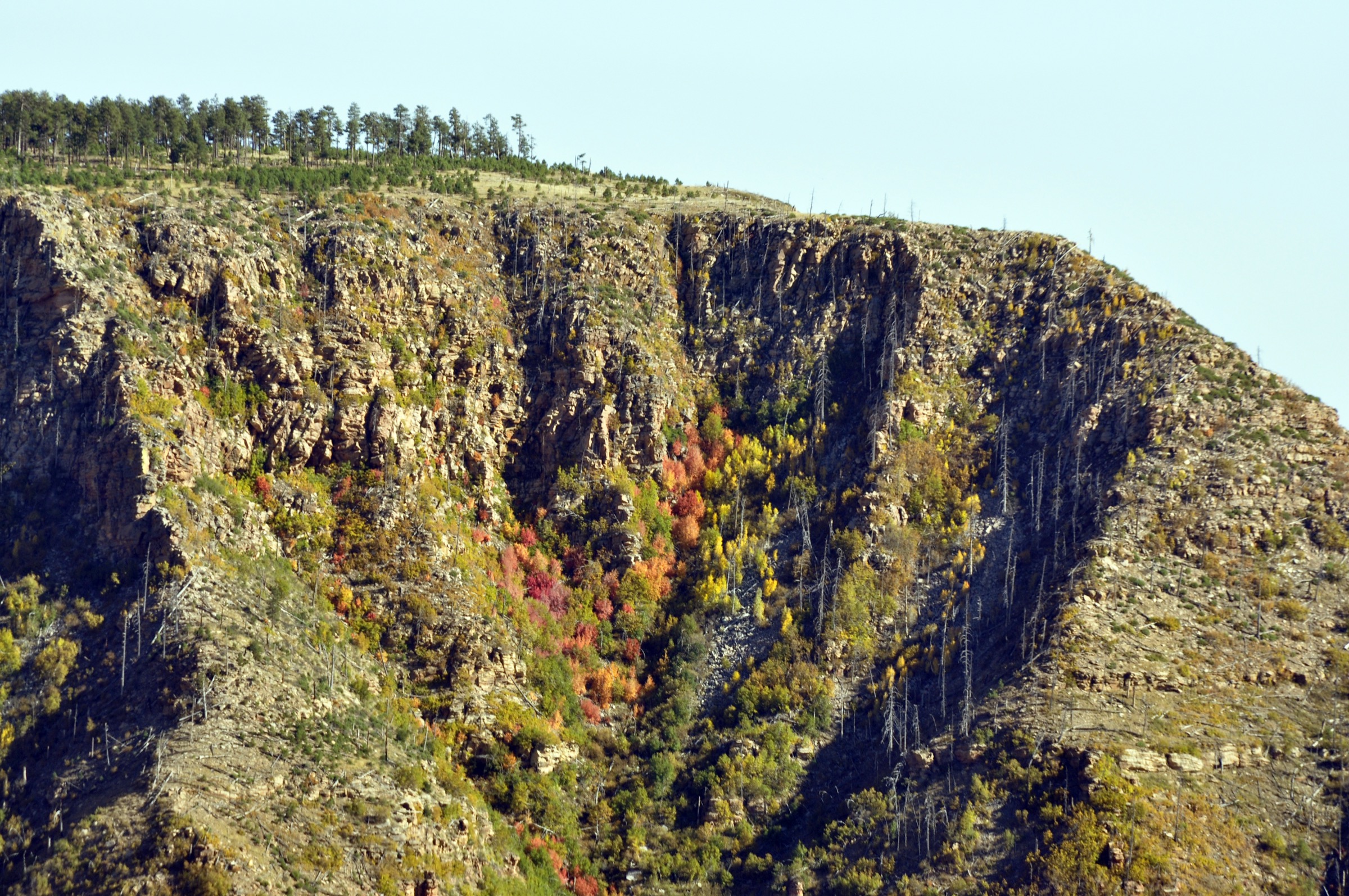
The Mazatzal Mountains form a rugged north–south range between the Phoenix basin, the Verde and Tonto basins, and the southern edge of the Mogollon Rim. Much of the core lies inside the Mazatzal Wilderness, administered by Tonto National Forest, with long rocky trails, chaparral, oak–pine transition forest, deep drainages and remote Arizona Trail passages.
The walking character is wilder and less manicured than the nearby Superstitions or Mogollon Rim lake country. Day-hikes can be long, brushy, dry and navigation-heavy. Expect catclaw and manzanita brush, loose rock, faint tread, wildfire scars, scarce water, limited cell service and big elevation changes. The best season is generally the cool half of the year — autumn through spring — with the high trailheads and summits occasionally holding winter snow, and the lower approaches becoming dangerously hot in summer.
Official per-trail pages are limited for several Mazatzal routes. Where the Forest Service does not publish current stats, this entry uses AllTrails, HikeArizona, Arizona Hiking, SummitPost, 10Adventures and Hiiker as named secondary sources, and marks anything unresolved.
Selection rationale
The five hikes span the essential Mazatzal day-hike experiences: an accessible waterfall-and-canyon approach on the Barnhardt Trail, the classic Barnhardt / Y-Bar wilderness loop, the range’s most accessible major summit at Mount Ord, a shorter high-summit sample at Mount Peeley on the Mazatzal Divide, and an Arizona Trail Passage 24 (Red Hills) section with official ATA GPX resources. Longer traverses and multi-day Mazatzal Divide backpacking routes have been excluded — they stretch the day-hike category beyond usefulness in this range.
Summary
| # | Hike | Trailhead | Route type | Distance | Gain | Max elevation | Difficulty |
|---|---|---|---|---|---|---|---|
| 1 | Barnhardt Trail waterfall | Barnhardt Trailhead | Out-and-back | 9.5 km | 466 m | Not verified | Moderate |
| 2 | Y-Bar Trail #44 and Barnhardt Trail #43 Loop | Barnhardt Trailhead | Loop | 23.8 km | 926 m | Not verified | Hard |
| 3 | Mount Ord from the Slate Creek / Beeline side | Lower Mount Ord access, SR 87 | Out-and-back road/trail | 24.9 km | 1,252 m | 2,173 m (7,128 ft) | Hard |
| 4 | Mount Peeley via the Mazatzal Divide Trail | Mount Peeley / FR 201 area | Out-and-back | 8.0 km | 452 m | Not verified | Moderate–hard |
| 5 | Arizona Trail Passage 24 (Red Hills) sampler | City Creek or Doll Baby / LF Ranch | Out-and-back section | 17.2 km full passage; day-hike turnaround required | Nearly 900 m net descent on the full passage | Not verified | Moderate–hard |
1. Barnhardt Trail waterfall
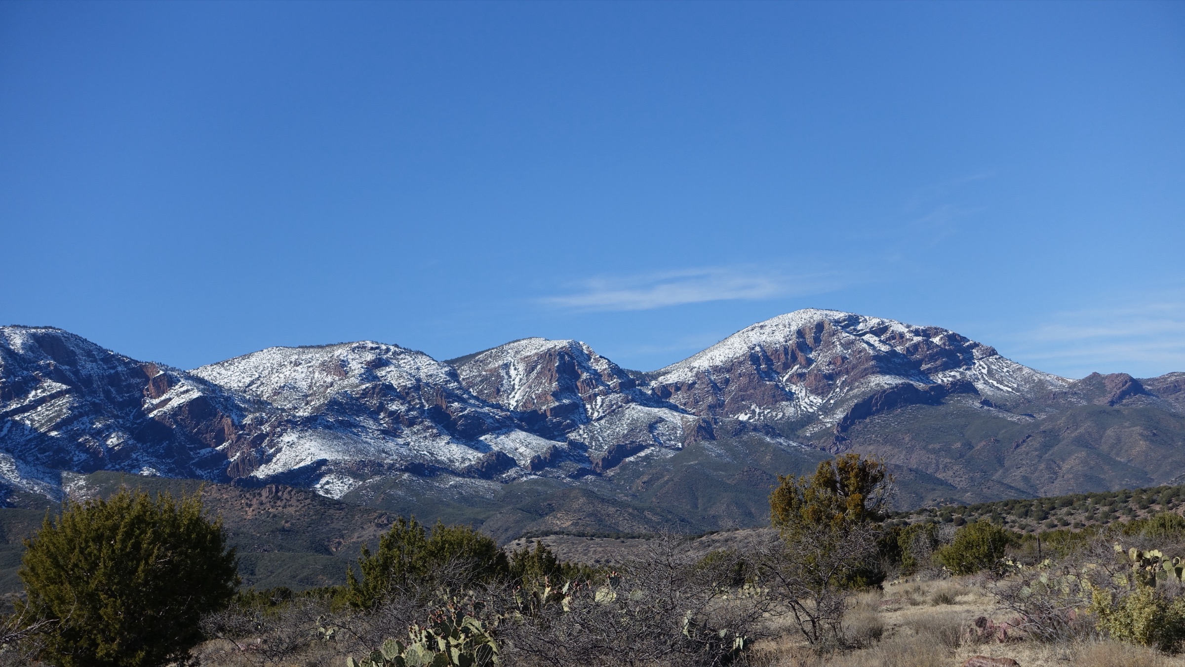
Snapshot
Itinerary
From Barnhardt Trailhead, follow Barnhardt Trail #43 into the Mazatzal Wilderness, climbing a rocky canyon approach through desert scrub and higher chaparral toward the seasonal waterfall area. Return by the same trail before committing to higher wilderness routes.
Why it is essential
Barnhardt is the most approachable classic Mazatzal Wilderness day-hike, showing the range’s rugged canyon character without requiring a full backpacking itinerary.
Equipment
- Sturdy shoes; long trousers for brush.
- 2–3 L water capacity; there is no reliable in-canyon water outside spring.
- Sun protection, offline map, trekking poles.
Hazards and notes
- Loose rock, catclaw brush, exposed slopes, and heat outside the cool season.
- Seasonal water uncertainty — do not plan on the waterfall running late in the year.
- Remote trailhead with limited cell service.
- Check current Tonto National Forest fire restrictions before travel.
GPX / route file
| Source | URL | Format | Notes |
|---|---|---|---|
| AllTrails — Barnhardt Trail Waterfall | alltrails.com | Source route map | Distance, gain, time, season and route type checked; AllTrails terms apply, do not reuse proprietary geometry directly |
| Arizona Hiking — Barnhardt Trail | arizonahiking.org | Guide source | Trailhead access, 6.2 mi waterfall route and 1,500 ft gain / loss checked; copyrighted guide, cite only |
No official Forest Service GPX or KML was found for this route.
Sources
- AllTrails — Barnhardt Trail Waterfall
- Arizona Hiking — Barnhardt Trail
- Wikimedia Commons — Barnhardt Trail -43
2. Y-Bar Trail #44 and Barnhardt Trail #43 Loop
Snapshot
Photo status: no in-body figure was shipped in this pass. The Barnhardt Trail -43 image on Wikimedia Commons (Matrixupgrade, CC BY-SA) covers the same trailhead / trail corridor and could be reused as a follow-up.
Itinerary
Start at Barnhardt Trailhead and link Barnhardt Trail #43 with Y-Bar Trail #44 to make a demanding wilderness loop that samples canyon, chaparral, ridgeline and higher Mazatzal terrain. Turn back early if heat, water, or navigation conditions become unfavourable.
Why it is essential
This is the compact hard-day version of the Barnhardt / Mazatzal backcountry experience — representative of the range’s remote, rough, non-resort character in a single day rather than a two-day pack trip.
Equipment
- Boots or sturdy trail shoes; long trousers and sleeves for brush.
- 3–4 L water minimum; water filter if planning to draw from seasonal sources.
- Sun protection, offline map / GPS, headtorch.
- Emergency layer — the loop is remote enough that a forced bivouac is a real possibility.
Hazards and notes
- Long distance and slow travel on brushy tread.
- Scarce water; carry more than seems necessary.
- Wilderness navigation — cairns and faint tread can be confusing after fire or storm damage.
- Cell service is unreliable across the loop.
GPX / route file
| Source | URL | Format | Notes |
|---|---|---|---|
| AllTrails — Y-Bar Trail (#44) and Barnhardt Trail (#43) Loop | alltrails.com | Source route map | Distance, gain, time and loop status checked; AllTrails terms apply, do not reuse proprietary geometry directly |
| Arizona Trail Association — passages overview | aztrail.org | Official AZT GPX resource index | ATA terms not fully assessed; useful for the AZT connecting segment only, not the whole loop |
No official Forest Service GPX or KML was found for the full loop.
Sources
- AllTrails — Y-Bar and Barnhardt Loop
- Arizona Trail Association — passages overview
- Wikimedia Commons — Barnhardt Trail -43
3. Mount Ord from the Slate Creek / Beeline side
Snapshot
Photo status: no route-exact licence-compatible image was placed in this pass. The Wikimedia Commons file Mazatzal Landmark — Mazatzal Peak by Matrixupgrade (CC BY-SA) is a regional Mazatzal image, not Mount Ord specifically, and could be used as a stand-in with clear captioning.
Itinerary
From the lower Beeline / Slate Creek side, walk the rough lower road / trail and then the better Mount Ord road toward the summit lookout tower. Return by the same line. The summit is a major view platform over Roosevelt Lake, the Four Peaks, the Mogollon Rim and the wider Mazatzal country when visibility allows.
Why it is essential
Mount Ord is the most accessible major Mazatzal summit hike and a training-grade climb that moves from lower desert vegetation toward high oak / pine summit country in one long day.
Equipment
- Footwear suitable for rough road rock and trail; trekking poles.
- 3–5 L water depending on temperature; there is no reliable water on the climb.
- Sun protection, food, headtorch, wind layer.
- Offline map — the correct access line is not obvious at the low end.
Hazards and notes
- Long mileage and sustained climb.
- Loose or washed-out road sections.
- Limited shade low down; wind and cold at the summit tower.
- Vehicle traffic on the road portions; road access can change year to year.
- Wildfire and fire-restriction status must be checked before travel.
GPX / route file
| Source | URL | Format | Notes |
|---|---|---|---|
| HikeArizona — Mount Ord from Slate Creek TH | hikearizona.com | Source route page / community data | Distance, gain, trailhead elevation and summit elevation statement checked; reuse terms not assessed |
| AllTrails — Mount Ord | alltrails.com | Source route map | Recent route context and approximate time / mileage checked; AllTrails terms apply |
| SummitPost — Mount Ord | summitpost.org | Peak / route source | Summit elevation, location and landscape context checked |
No official Forest Service GPX or KML was found for this route.
Sources
4. Mount Peeley via the Mazatzal Divide Trail
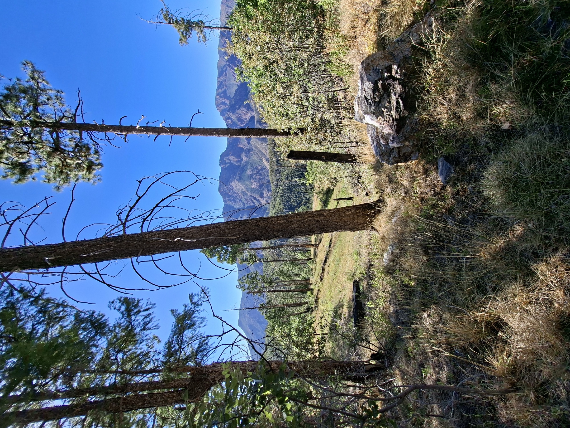
Snapshot
Itinerary
Use the Mazatzal Divide / Mount Peeley access to climb toward the Mount Peeley summit area, gaining a high vantage over the northern Mazatzals. Return by the same route before committing to longer Mazatzal Divide traverses.
Why it is essential
Mount Peeley gives a shorter high-country summit sample than Mount Ord or the Barnhardt / Y-Bar loop, making it a useful representative peak-hike in the range and a good acclimatisation objective before a longer Divide trip.
Equipment
- Hiking shoes or boots; long trousers for brush.
- 2–3 L water capacity; no reliable water on the summit hike.
- Sun / wind layer, offline map / GPS.
Hazards and notes
- Remote access roads — check FR 201 status before travel.
- Brush, loose tread, faint junctions.
- Limited water and unreliable cell service.
- Post-fire deadfall may still affect parts of the Divide.
GPX / route file
| Source | URL | Format | Notes |
|---|---|---|---|
| HikeArizona — Mount Peeley Summit | hikearizona.com | Source route page / community data | Distance, gain, trailhead elevation and time checked; reuse terms not assessed |
| 10Adventures — Mount Peeley Trail | 10adventures.com | Source route guide | Distance and elevation gain checked; reuse terms not assessed |
| Hiiker — Mount Peeley via Mazatzal Divide Trail | hiiker.app | Source route page | Secondary distance / gain / time checked |
No official Forest Service GPX or KML was found for this route.
Sources
- HikeArizona — Mount Peeley Summit
- 10Adventures — Mount Peeley Trail
- Hiiker — Mount Peeley via Mazatzal Divide Trail
5. Arizona Trail Passage 24 (Red Hills) sampler
Snapshot
Photo status: no route-exact licence-compatible image was placed in this pass. The pine-oak woodland Wikimedia Commons file by Matthew.kowal (CC BY-SA) is a regional stand-in.
Itinerary
Treat Passage 24 as a day-hike sampler rather than assuming the full point-to-point route. From City Creek, hike toward the Mazatzal Divide / Red Hills junction for high wilderness views; or from the Doll Baby / LF Ranch side, approach the East Verde River section. Turn round before distance, heat, water or river conditions become unsafe.
Why it is essential
This is the best official Arizona Trail entry into the northern Mazatzal / Red Hills landscape, with biodiversity, rim views and the East Verde River corridor — one of Arizona’s rare Wild and Scenic river crossings on the trail network.
Equipment
- 3–4 L water minimum unless reliable sources are confirmed; water filter.
- Offline AZT GPX / map and a paper backup.
- Sun protection, long trousers, headtorch, emergency layer.
Hazards and notes
- Remote wilderness with no direct vehicle access at the Red Hills junction or East Verde endpoint.
- Possible high water at the East Verde River crossing after storms.
- Faint singletrack near LF Ranch; private-property restrictions apply.
- Scarce water outside confirmed sources; bikes are not allowed in the wilderness.
GPX / route file
| Source | URL | Format | Notes |
|---|---|---|---|
| Arizona Trail Association — Passage 24: Red Hills | aztrail.org | Official passage page with MAP, PROFILE, TRACK and waypoints | Length, access, description, difficulty, season, water, warnings and GPS resource availability checked; ATA reuse terms not fully assessed, cite ATA |
| Arizona Trail Association — passages overview | aztrail.org | Official GPX / track information page | Statement on passage GPX data and the “do not rely on one source” warning checked |
| Tonto National Forest — Red Hills Trail | fs.usda.gov | Official trail page | Red Hills Trail #262 length, primitive / remote status, AZT connection and wilderness restrictions confirmed |
| AllTrails — Arizona Trail: Passage 24 – Red Hills | alltrails.com | Source route map | Secondary time and route difficulty checked |
The Arizona Trail Association publishes official downloadable GPS resources for Passage 24; reuse and attribution terms should be confirmed with ATA before shipping a track.
Sources
- Arizona Trail Association — Passage 24: Red Hills
- Tonto National Forest — Red Hills Trail
- AllTrails — Arizona Trail Passage 24 – Red Hills
Region-level sources
| Source | URL |
|---|---|
| Tonto National Forest — Red Hills Trail | fs.usda.gov |
| Tonto National Forest — home / recreation | fs.usda.gov |
| Arizona Trail Association — Passage 24 Red Hills | aztrail.org |
| Arizona Trail Association — passages / GPX overview | aztrail.org |
| AllTrails — Barnhardt Trail Waterfall | alltrails.com |
| AllTrails — Y-Bar and Barnhardt Loop | alltrails.com |
| AllTrails — Mount Ord Trail | alltrails.com |
| AllTrails — Arizona Trail Passage 24 – Red Hills | alltrails.com |
| HikeArizona — Mount Ord from Slate Creek TH | hikearizona.com |
| HikeArizona — Mount Peeley Summit | hikearizona.com |
| Arizona Hiking — Barnhardt Trail | arizonahiking.org |
| SummitPost — Mount Ord | summitpost.org |
| 10Adventures — Mount Peeley Trail | 10adventures.com |
| Hiiker — Mount Peeley via Mazatzal Divide Trail | hiiker.app |
| Wikimedia Commons — Barnhardt Trail -43 | commons.wikimedia.org |
| Wikimedia Commons — Mazatzal Landmark, Mazatzal Peak | commons.wikimedia.org |
| Wikimedia Commons — Pine-oak woodland near Gold Ridge Trail and FR 201 | commons.wikimedia.org |
Missing data / follow-up work
- No official Forest Service GPX or KML was retrieved for any of the five hikes. Arizona Trail Association publishes an official Passage 24 track; reuse terms should be confirmed before shipping.
- Licence-compatible photo candidates flagged but not shipped — Barnhardt Trail -43 (Matrixupgrade, CC BY-SA) for Hikes 1 and 2, Mazatzal Landmark, Mazatzal Peak (Matrixupgrade, CC BY-SA) as a regional stand-in for Hike 3, and Pine-oak woodland near Gold Ridge Trail and FR 201 (Matthew.kowal, CC BY-SA) for Hikes 4 and 5. Exact CC BY-SA version numbers should be resolved before publication.
- Maximum elevations for the Barnhardt waterfall, the Y-Bar loop, Mount Peeley and Passage 24 are unresolved from the sources cited.
- Public transport was not verified for any hike; all five require a private vehicle.
- Road access status on FR 419, FR 201 and the various Mount Ord access lines should be re-checked with the Tonto National Forest before travel.
- Fire-restriction status should be re-checked on the day of travel via the Tonto National Forest alerts page.