Regional overview
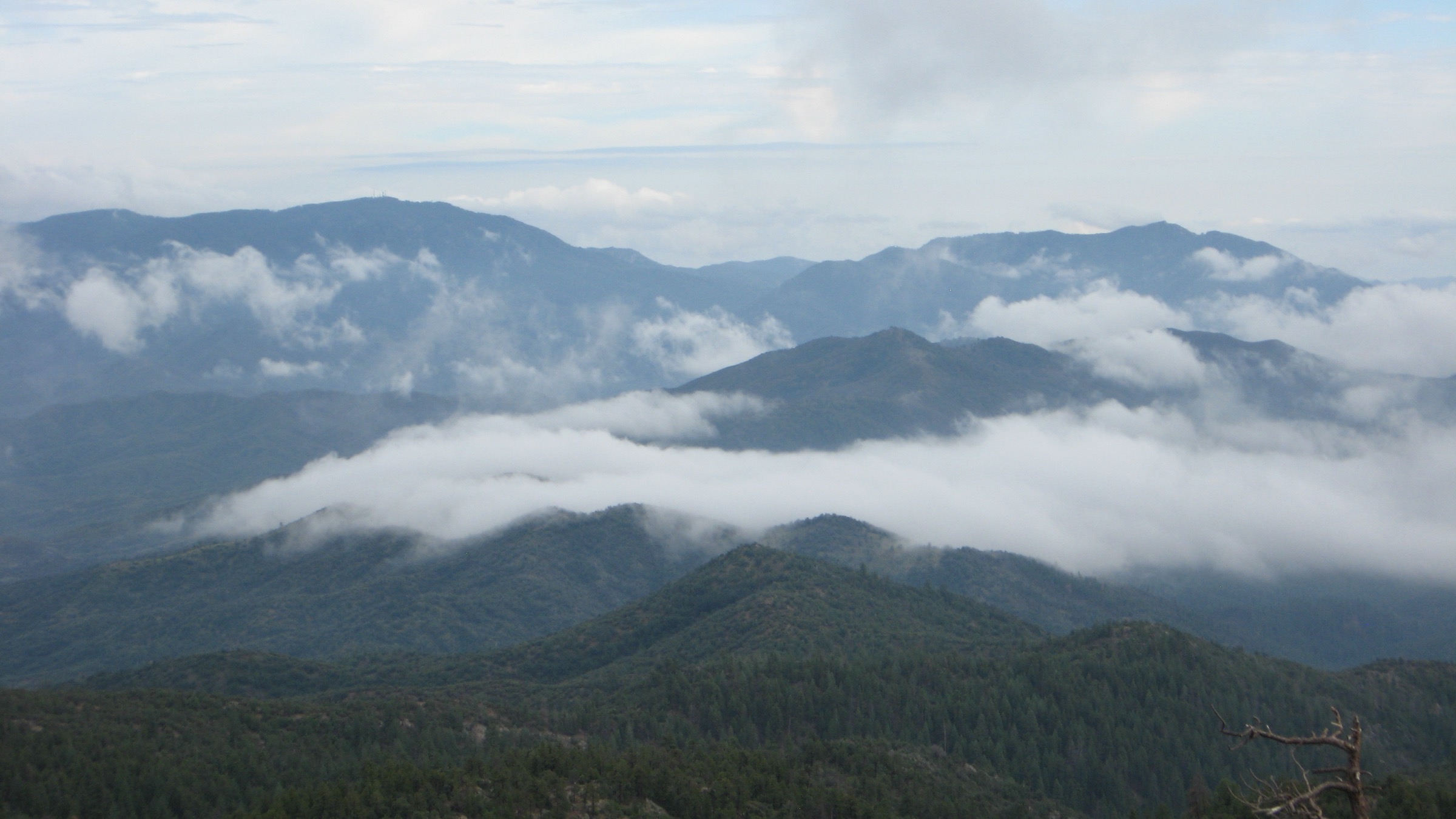
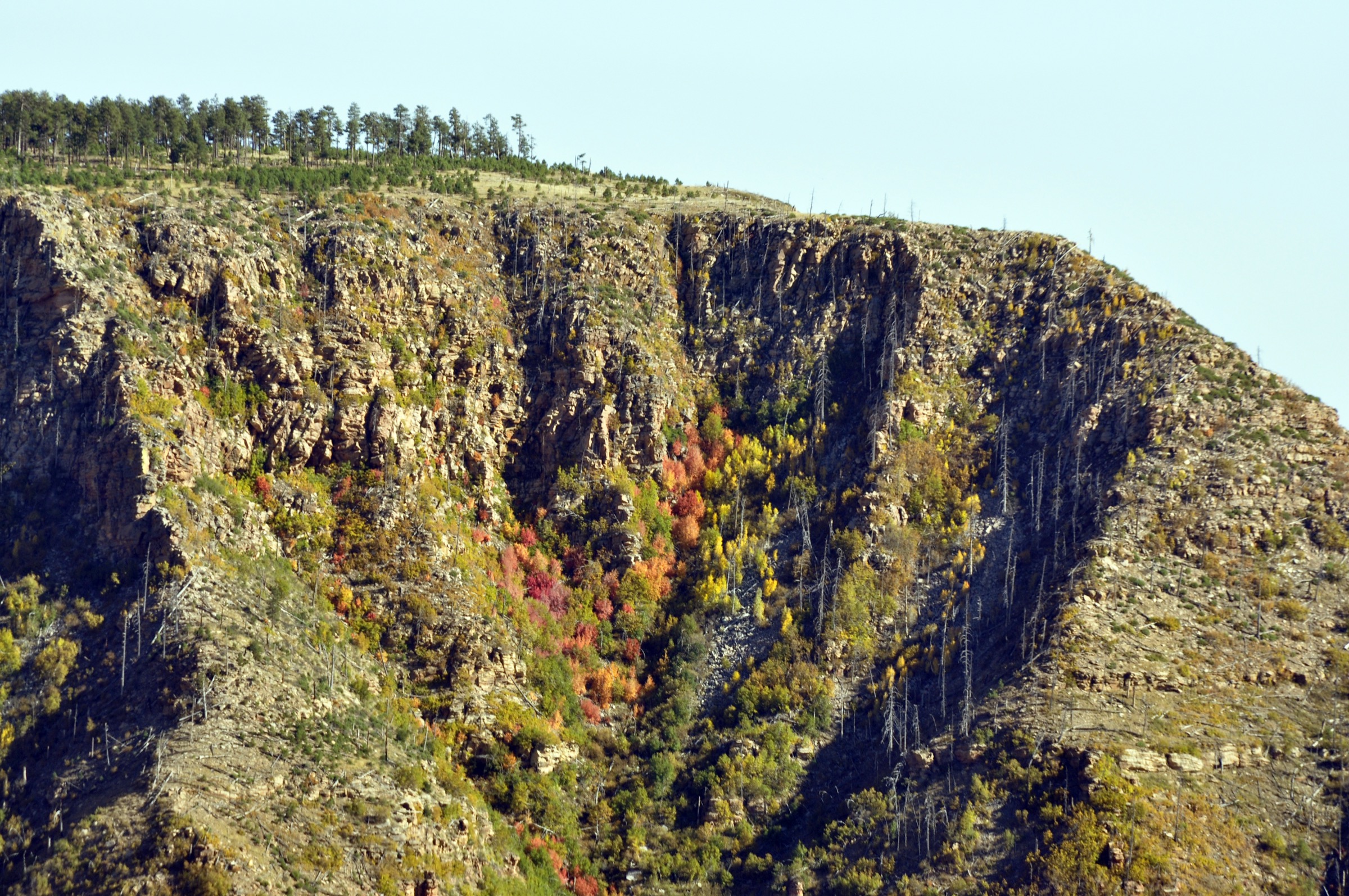
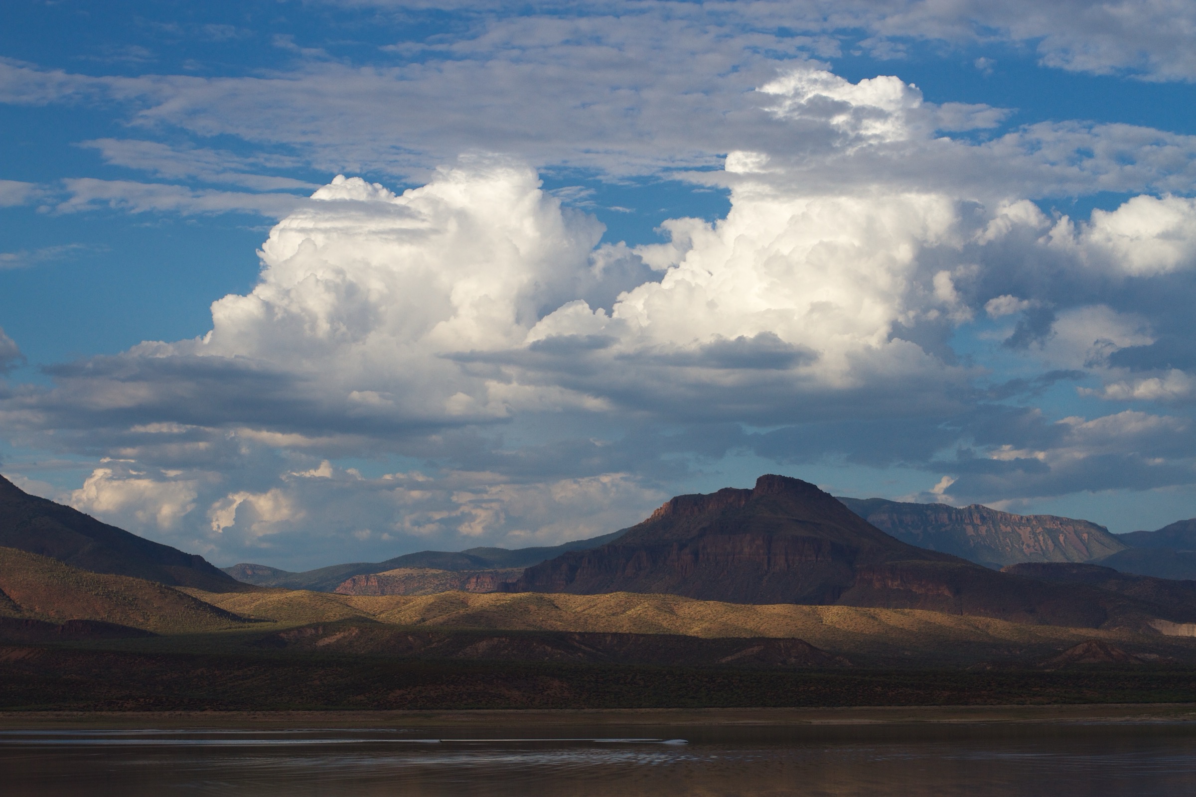
The Sierra Ancha is a remote Tonto National Forest range east of Roosevelt Lake and south of Young, Arizona. Discover Gila County describes the 20,850-acre Sierra Ancha Wilderness as a former 1933 Primitive Area with precipitous box canyons, high cliffs, pine-covered mountains, rough cross-country travel and trails whose condition varies from good to poor. The range rises from chaparral and canyon country near Cherry Creek to high forest around Aztec Peak, the usual high-point objective.
The walking character is rugged, dry and navigation-heavy by central Arizona standards. Trailheads are remote, roads such as FR 487 and FR 203 can be rough or seasonally closed, and several trails pass through burned or overgrown country. Summer monsoon storms, flash-flooding, high fire danger, downed trees, brush, snow on high winter routes and unreliable water are the main planning constraints. At verification, Tonto National Forest pages were displaying Stage 2 fire restrictions and Billy Fire closure alerts — check current Forest Service alerts before travel.
For neighbouring Mogollon Rim and Central Arizona Highlands ranges in the same broader taxonomy, see the sister catalogues on the Mogollon Rim, the Mazatzal Mountains, the Superstition Mountains and the Bradshaw Mountains.
See also: Mogollon Rim · Mazatzal Mountains · Superstition Mountains · Bradshaw Mountains.
Selection rationale
The five hikes cover the Sierra Ancha essentials: the high summit and fire lookout, the classic Reynolds Creek wilderness trail, the Parker Creek canyon climb, a rim-and-ruins viewpoint loop and the Workman Creek waterfall corridor. Official Forest Service and local tourism pages were used for access, restrictions and trail context; route statistics come mostly from HikeArizona, Komoot, Gaia GPS, Natural Atlas, Arizona Birding Trail and WaterfallHikes where official Forest Service pages did not publish full day-hike statistics.
Summary
| # | Hike | Trailhead | Route type | Distance | Gain | Max elevation | Difficulty |
|---|---|---|---|---|---|---|---|
| 1 | Aztec Peak via Abbey’s Way Trail #151 Loop | FR 487 gate / Falls area | Loop | 11.5 km | 469 m | ~2,361 m (7,748 ft) | Moderate–strenuous |
| 2 | Reynolds Creek Trail #150 | Reynolds Creek Trailhead | Out-and-back | 11.3 km | 382 m | Unresolved | Moderate–strenuous |
| 3 | Parker Creek Trail #160 | Lower Parker Creek TH, AZ 288 | Point-to-point / out-and-back | 7.2 km one way | 656 m one way | ~2,158 m (7,081 ft) | Strenuous if climbed |
| 4 | Rim Trail #139 and Moody Point Trail #140 Loop | FR 487 / Moody or Parker access | Loop | 10.5 km | 320 m | 2,220 m (7,283 ft) | Moderate, remote |
| 5 | Workman Creek Falls and Colcord Falls via FR 487 | AZ 288 / FR 487 turnoff | Road-and-trail out-and-back | ~11.9 km if walked from AZ 288 | Unresolved | ~1,965 m (6,447 ft) at Workman Creek Falls | Moderate |
1. Aztec Peak via Abbey’s Way Trail #151 Loop
Snapshot
Itinerary
From the FR 487 gate or Falls area, follow the road east past Workman Creek scenery to the Abbey’s Way west trailhead. Climb Trail #151 through mixed conifer, burned and recovering forest and high meadows to the Aztec Peak lookout area. Return by FR 487 to make the common loop, or descend the same trail if road or navigation conditions dictate.
Why it is essential
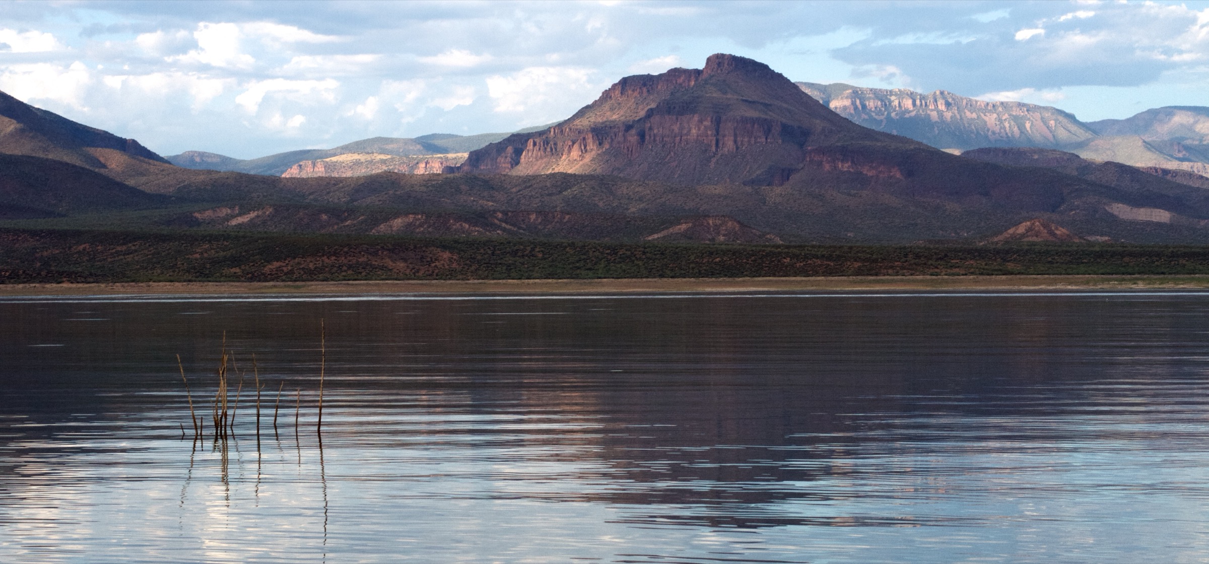
Aztec Peak is the range high-point hike, the Sierra Ancha fire-lookout objective and the best single summit panorama over Roosevelt Lake, the Four Peaks, the Mazatzals, the Salt River country and the central Arizona highlands.
Equipment
- Sturdy shoes
- Long trousers for brush
- 2–3 L water
- Sun protection
- Warm and wind layer
- Offline map and GPS
- Current road / closure information
Hazards and notes
- Overgrown trail and downed trees.
- Burned-area hazards.
- High-elevation weather and lightning.
- Rough or closed FR 487 access.
- No potable water.
GPX / route file
| Source | URL | Format | Notes |
|---|---|---|---|
| USFS — Abbey’s Way 151 | fs.usda.gov | Official trail page | Trail description, restrictions, directions, elevation and condition warning; no GPX exposed |
| HikeArizona — Aztec Peak via Abbey’s Way 151 Loop | hikearizona.com | Source route map / community route | Distance, gain, time and FR 487 gate notes; HikeArizona terms apply |
| Komoot — Aztec Peak via Abby’s Way Trail | komoot.com | Source route map | GPX download not retrieved; account-gated download |
| Gaia GPS — Aztec Peak via FR 487 | gaiagps.com | Source route map | FR 487 approach and falls waypoint; GPX / KML controls visible |
Sources
- USFS — Abbey’s Way 151
- HikeArizona — Aztec Peak via Abbey’s Way 151 Loop
- Komoot — Aztec Peak via Abby’s Way Trail
- Discover Gila County — Sierra Ancha Wilderness
- Gaia GPS — Aztec Peak via FR 487
- Wikimedia Commons — Aztec Peak lookout tower
2. Reynolds Creek Trail #150
Snapshot
Itinerary
Follow Reynolds Creek Trail #150 from the trailhead into the Sierra Ancha Wilderness, climbing the switchbacks and traversing Knoles Hole / Reynolds Creek terrain. The checked day-hike version is an out-and-back, with a turnaround before committing to longer wilderness connections.
Why it is essential
Reynolds Creek is the classic named wilderness trail of the range: a remote creek route with high forest, canyon vegetation and the Sierra Ancha’s rough-but-accessible backcountry feel.
Equipment
- Sturdy footwear
- Long trousers
- 2–3 L water
- Offline map and GPS
- First-aid kit
- Insect and poison-ivy awareness near drainages
Hazards and notes
- Brushy and hard-to-find sections per USFS destination listing.
- Remote access with possible water crossings.
- Post-fire and downed-tree hazards.
- No potable water on route.
GPX / route file
| Source | URL | Format | Notes |
|---|---|---|---|
| HikeArizona — Reynolds Creek Trail #150 | hikearizona.com | Source route map | Distance, gain, time, trailhead elevation and season; HikeArizona terms apply |
| Natural Atlas — Reynolds Creek Trail | naturalatlas.com | Source map / trail page | Trail number, length, location and horse-use permission; Natural Atlas terms apply |
| USFS — destination listing | fs.usda.gov | Official listing snippet | Describes switchbacks, Knoles Hole, old logging road, brushy / hard-to-find sections |
| Komoot — Aztec Peak via Reynolds Creek Trail 150 | komoot.com | Longer source route map | Confirms Reynolds Creek as a hard longer approach toward Aztec Peak; not used for primary stats |
Sources
- HikeArizona — Reynolds Creek Trail #150
- Natural Atlas — Reynolds Creek Trail
- USFS — destination listing
- Recreation.gov — Reynolds Creek Group Campground
- Komoot — Aztec Peak via Reynolds Creek Trail 150
- Wikimedia Commons — South Fork Parker Canyon, Sierra Ancha
3. Parker Creek Trail #160
Snapshot
Itinerary
From the lower AZ 288 trailhead, enter Parker Creek and climb through oak, riparian shade, Douglas fir, ponderosa pine, cliffs, towers and the historic Sierra Ancha Experimental Forest area toward the upper FR 487 access. The descent version reverses the route from the high forest to the highway.
Why it is essential
Parker Creek is the key canyon ascent of the Sierra Ancha: a direct transect from lower creekside habitat to upper pine country, with strong scenery and a practical link to Rim Trail #139.
Equipment
- Hiking boots
- Long trousers
- Sun protection
- Offline map and GPS
- Water
- Shuttle or clear turnaround plan
Hazards and notes
- Poison ivy on lower canyon sections.
- Steep climb or descent throughout.
- Hot lower trailhead in warm months.
- Flash-flood potential in the canyon.
- Remote access and endpoint confusion between public sources.
GPX / route file
| Source | URL | Format | Notes |
|---|---|---|---|
| HikeArizona — Parker Creek Trail #160 | hikearizona.com | Source route map | One-way distance, gain, time, trailhead elevation and description; HikeArizona terms apply |
| Arizona Birding Trail — Parker Creek | arizonabirdingtrail.com | Site map | Coordinates, no-fee status, trail length note, water / birding context and heavy-rain warning |
| Trailforks — Parker Creek #160 | trailforks.com | Trail map | Secondary distance and elevation profile; Trailforks terms apply |
| Discover Gila County — Sierra Ancha Wilderness | discovergilacounty.com | Local tourism route text | Upper access distance and elevation-loss note |
Sources
- HikeArizona — Parker Creek Trail #160
- Arizona Birding Trail — Sierra Anchas Wilderness — Parker Creek
- Trailforks — Parker Creek #160
- Discover Gila County — Sierra Ancha Wilderness
- Wikimedia Commons — South Fork Parker Canyon, Sierra Ancha
4. Rim Trail #139 and Moody Point Trail #140 Loop
Snapshot
Itinerary
From the FR 487 high-country access, connect the Rim Trail and Moody Point Trail system to make a compact loop through pine, recovering burn areas, rim viewpoints and side views into the Cherry Creek / Coon Creek canyon country. Keep archaeological features at a distance and do not enter, climb on or disturb any cultural site.
Why it is essential
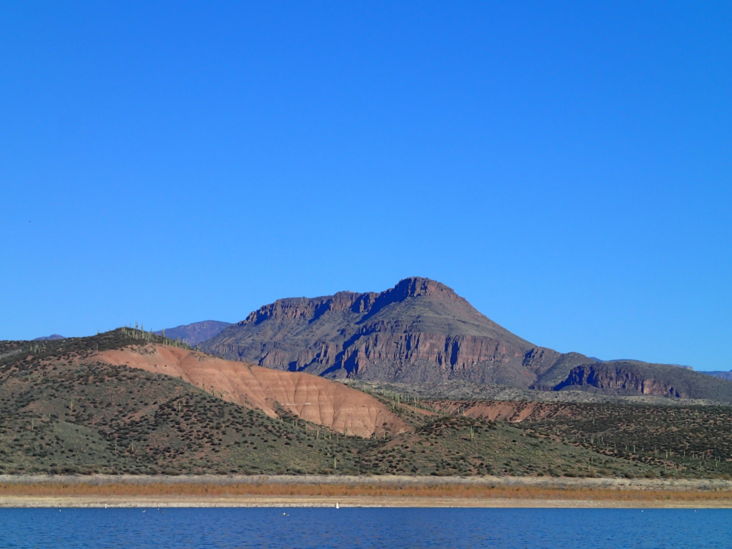
This is the most compact way to sample the Sierra Ancha rim: high forest, canyon edges, wilderness solitude and the cultural landscape that makes the range famous.
Equipment
- Offline map and GPS
- Sturdy footwear
- Long trousers
- Sun protection
- Water
- Conservative turnaround plan
Hazards and notes
- Moody Point is one of the longest and most difficult trails in the wilderness per USFS; even this compact loop shares the same remote terrain.
- Indistinct tread on the long trail sections.
- Cherry Creek may be uncrossable at high water — the short loop avoids the full traverse.
- Do not enter, climb on or disturb archaeological sites.
GPX / route file
| Source | URL | Format | Notes |
|---|---|---|---|
| USFS — Moody Point 139 | fs.usda.gov | Official trail page | Trail character, restrictions, elevation and water warning; no GPX exposed |
| Komoot — Rim Trail and Moody Point Trail Loop | komoot.com | Source route map | Distance, gain, time and max / min elevation; account-gated GPX |
| Discover Gila County — Sierra Ancha Wilderness | discovergilacounty.com | Local tourism route text | Rim Trail, Moody Point, Parker Creek and FR 487 relationships |
Sources
- USFS — Moody Point 139
- Komoot — Rim Trail and Moody Point Trail Loop
- Discover Gila County — Sierra Ancha Wilderness
- Wikimedia Commons — Sierra Ancha dwellings
5. Workman Creek Falls and Colcord Falls via FR 487
Snapshot
Itinerary
From the AZ 288 / FR 487 junction, walk or drive as conditions allow up FR 487 through the Workman Creek recreation corridor, passing primitive recreation sites toward Workman Creek Falls. Continue only where legal and safe toward Colcord Falls and return by the same line. If starting from a seasonal gate or upper parking area, recalculate distance before travel.
Why it is essential
This is the Sierra Ancha’s signature waterfall corridor, combining the range’s high forest, Workman Creek, rough-road access and the short side explorations that have made the area a local summer refuge.
Equipment
- Sturdy shoes with grip
- Sun protection
- Water
- Offline map
- Vehicle and road-condition backup plan
Hazards and notes
- Rough road and winter gate closure (15 December – 31 March).
- Slick rocks near the waterfalls.
- Flash-flood risk in the drainages.
- Falling trees and branches in burned areas.
- No potable water on route.
GPX / route file
| Source | URL | Format | Notes |
|---|---|---|---|
| Discover Gila County — Sierra Ancha Wilderness | discovergilacounty.com | Local tourism route text | FR 487 mileage, gate closure, Workman Creek Falls and Colcord Falls notes |
| WaterfallHikes — Workman Creek Falls | waterfallhikes.com | Waterfall route / source page | Falls elevation, coordinates, USGS gauge context and seasonal notes |
| Gaia GPS — Aztec Peak via FR 487 | gaiagps.com | Source route map | Confirms FR 487 approach line passes the falls; GPX / KML controls visible |
Sources
- Discover Gila County — Sierra Ancha Wilderness
- WaterfallHikes — Workman Creek Falls
- Gaia GPS — Aztec Peak via FR 487
Region-level sources
| Source | URL |
|---|---|
| USFS — Tonto National Forest, Sierra Ancha Wilderness | fs.usda.gov |
| USFS — Abbey’s Way 151 | fs.usda.gov |
| USFS — Moody Point 139 | fs.usda.gov |
| USFS — Tonto destination listing | fs.usda.gov |
| Discover Gila County — Sierra Ancha Wilderness | discovergilacounty.com |
| Arizona Birding Trail — Parker Creek | arizonabirdingtrail.com |
| HikeArizona — Sierra Ancha routes | hikearizona.com |
| Natural Atlas — Reynolds Creek Trail | naturalatlas.com |
| Trailforks — Parker Creek #160 | trailforks.com |
| Komoot — Sierra Ancha routes | komoot.com |
| Gaia GPS — Aztec Peak via FR 487 | gaiagps.com |
| WaterfallHikes — Workman Creek Falls | waterfallhikes.com |
| Recreation.gov — Reynolds Creek Group Campground | recreation.gov |
| Wikimedia Commons — Sierra Ancha sunset painting | commons.wikimedia.org |
| Wikimedia Commons — Aztec Peak lookout tower | commons.wikimedia.org |
| Wikimedia Commons — South Fork Parker Canyon | commons.wikimedia.org |
| Wikimedia Commons — Sierra Ancha dwellings | commons.wikimedia.org |
Further reading
- Mogollon Rim — essential day-hikes — the escarpment corridor immediately north of the Sierra Ancha
- Mazatzal Mountains — essential day-hikes — the neighbouring Mazatzal Wilderness range west across the Tonto Basin
- Superstition Mountains — essential day-hikes — the rugged Superstition Wilderness south of Roosevelt Lake
- Bradshaw Mountains — essential day-hikes — the mid-elevation Prescott National Forest range west of the Verde Valley
Missing data / follow-up work
- Official Forest Service pages for Reynolds Creek #150 and Parker Creek #160 were visible in search / destination snippets but their direct pages were not fully retrievable in this pass.
- Endpoint distances disagree across public sources, especially on Parker Creek #160 and shorter versus longer Aztec Peak approaches; reconcile before shipping a GPX.
- No licence-compatible exact photo was verified for Workman Creek Falls or Colcord Falls; only regional Sierra Ancha imagery is currently shipped.
- No official GPX / KML downloads were found; Komoot and Gaia expose account-gated or controlled route-download options for some routes, and HikeArizona provides source maps and tracks under its own terms.
- Current Tonto National Forest fire and closure status — Stage 2 restrictions and Billy Fire alerts at verification — must be re-checked before travel.