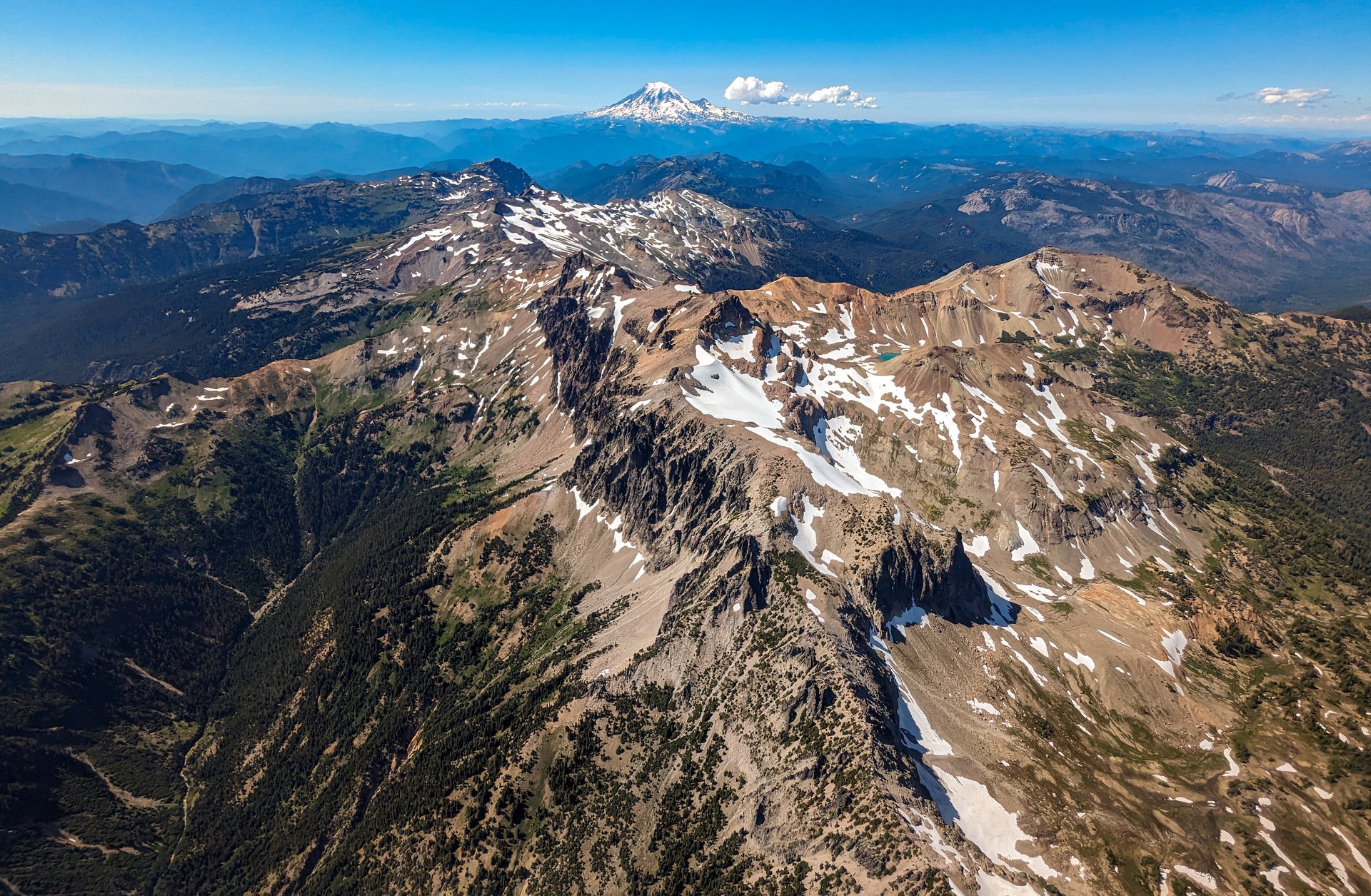
Regional overview
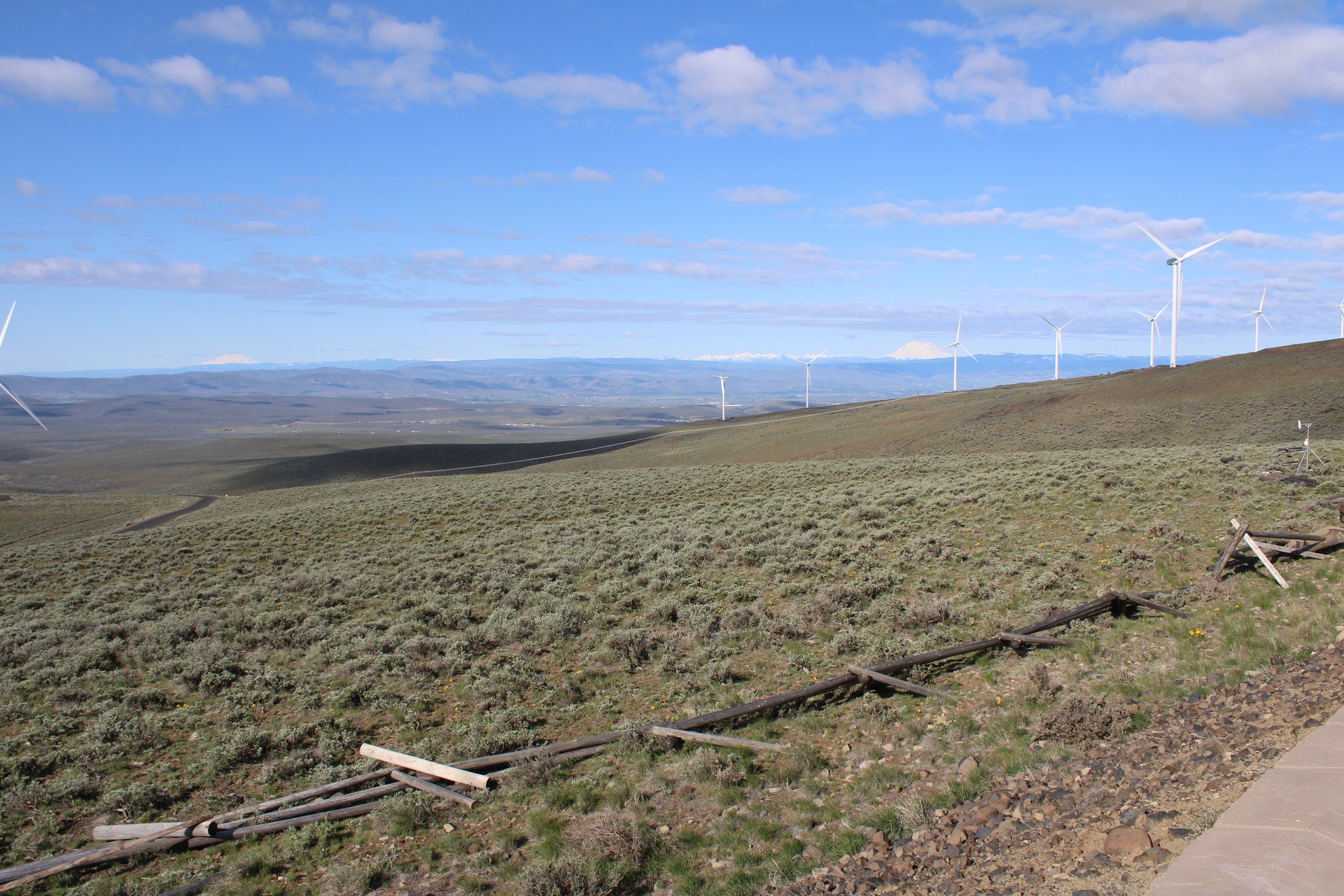
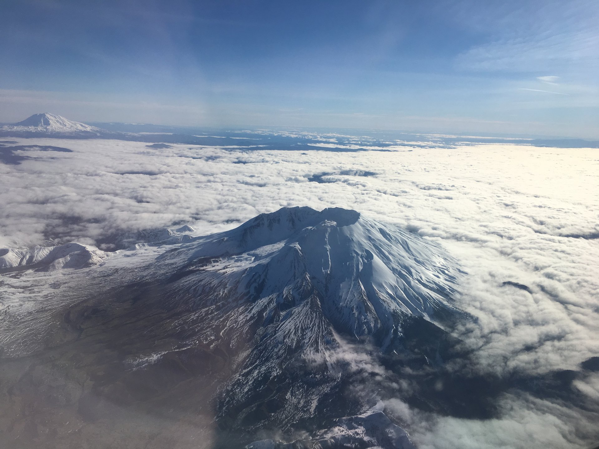
The Goat Rocks are what is left of a volcano after the ice has finished with it. Where Rainier, Adams and St Helens still stand as cones, this range — sitting on the Cascade crest exactly between the first two — is the dissected wreckage of a stratovolcano that was active from roughly 3.2 million years ago and fell silent perhaps a million years ago, since which time glaciers have taken the mountain apart and left the ribs. The Forest Service describes it, more roundly, as “extinct for some two million years.” One relic of its violence survives in the landscape beyond the range: around 1.64 million years ago a single andesite lava flow ran some 80 km down the Tieton and Naches valleys, and it is recognised as the longest andesite flow on Earth.
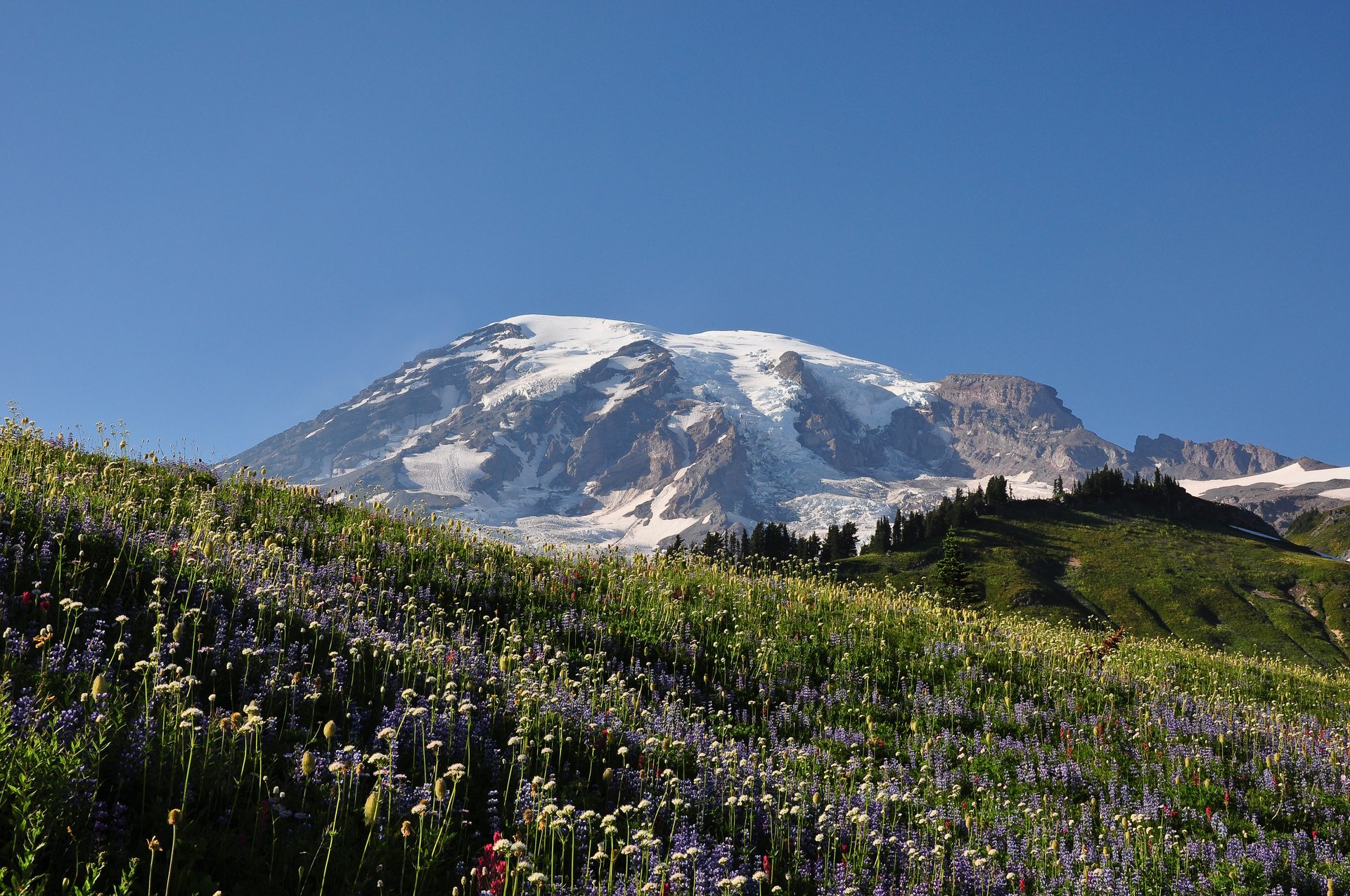
What the erosion left is a high, narrow, rocky crest, and this is the essential fact about walking here. The wilderness covers about 108,000 acres (roughly 437 km²) across two national forests — Gifford Pinchot on the west, Okanogan-Wenatchee on the east — and rises from 900 m to Gilbert Peak at 2,500 m (8,201 ft), the range high point. Small glaciers persist in the shadowed cirques: Packwood, Conrad, McCall and Meade. The Pacific Crest Trail runs 31.1 miles through the wilderness, and its passage across the crest past Old Snowy Mountain — the section walkers call the Knife’s Edge — is widely held to be the finest stretch of the entire trail in Washington. From it, Rainier stands to the north and Adams to the south, and the walker is on a rock arête between them.
The season is short and it starts late. More than 25 feet of snow falls on the crest in an average winter, and the Forest Service is explicit that it does not melt out entirely until late July or early August. Walkers arriving in early July will find the flowers out at Snowgrass Flat and the high traverses still under snow, which is a more serious combination than it sounds: the snow that lingers here lies across steep slopes, above tarns and streams that are eating it from beneath. The practical window for the full crest is late July to late September, and the Forest Service’s own warning about the crossing below Old Snowy — “ice axes are always recommended” — should be read with that timing in mind.
Three things shape a visit. Permits are simple: a wilderness permit is required for all day and overnight use, but it is free and self-issued at the trailhead, and there is no quota or lottery here — the Goat Rocks sits outside every reservation system in Washington. Fires are banned: forest-wide restrictions on the Gifford Pinchot run from 1 July to 31 October 2026, with Stage 1 restrictions on the Okanogan-Wenatchee from 19 June to 15 October, so there are no campfires anywhere in the Goat Rocks backcountry this season, though a gas stove with a valve remains legal. And the crowds are real: the Forest Service says plainly that the Snowgrass–Goat Lake–Old Snowy area is the most crowded part of the wilderness in summer, that walkers should expect to see a hundred or more people on the trails, and that the car parks fill early even on weekdays.
Two further notes. Mountain goats are common above the treeline and are drawn to the salt in human urine, which brings them closer to walkers than is good for either party; the standard guidance is to keep about 50 m away, to urinate well off the trail and preferably on rock, and to make noise and flap clothing at any goat that approaches. And the Yakama Indian Reservation borders the wilderness on the south-east and is closed to the general public, with the sole exception of the Pacific Crest Trail corridor. None of the five walks below goes near it — the closest approach is around 2.5 km — but the reservation’s north-west corner sits essentially on the summit of Gilbert Peak, so anyone drawn to scramble the range’s high point should understand exactly where the line falls.
Selection rationale
The five walks cover the crest, a cirque lake, a ridge, a summit and a valley, and they are spread deliberately across four road corridors on both sides of the range, so that a closure or a rough road takes out one walk rather than the set. The difficulty spread is wide by design — 11 km to 27 km — because a range whose signature outing is a seventeen-mile day needs an honest short option too.
Snowgrass Flat to Old Snowy and the Knife’s Edge is the reason people come: the finest section of the Pacific Crest Trail in Washington, walked as a long, strenuous day. Goat Lake, with Hawkeye Point above it, is the cirque — a turquoise lake in a north-facing bowl that is frozen for much of the year and snow-rimmed well into August. Nannie Ridge to Sheep Lake is the ridge walk, climbing steeply out of Walupt Lake to an alpine crest with Mount Adams filling the south, and it is the one that costs nothing. Bear Creek Mountain is the summit, and by a distance the best payoff-per-mile in the range — a 2,236 m top reached by an 11 km walk, because its trailhead starts at 1,829 m. Packwood Lake is the valley and the history: a gentle forest walk to a lake dammed by a landslide twelve centuries ago, past a log cabin built in 1910 that is among the oldest buildings in the national forest.
Summary table
| # | Hike | Country | Route type | Distance | Gain | Max elevation | Difficulty |
|---|---|---|---|---|---|---|---|
| 1 | Snowgrass Flat, Old Snowy and the Knife’s Edge | USA | Out-and-back | ~27.4 km (17.0 mi) | 945 m+ | 2,417 m | Very strenuous |
| 2 | Goat Lake and Hawkeye Point | USA | Out-and-back | 19.3 km (12.0 mi) | ~610 m | 2,012 m (2,265 m via Hawkeye) | Strenuous |
| 3 | Nannie Ridge to Sheep Lake | USA | Out-and-back | 15.0 km (9.3 mi) | ~627 m | 1,781 m | Moderate–strenuous |
| 4 | Bear Creek Mountain | USA | Out-and-back | 11.3 km (7.0 mi) | ~377 m | 2,236 m | Moderate |
| 5 | Packwood Lake | USA | Out-and-back | 16.1 km (10.0 mi) | ~366 m | 975 m | Easy–moderate |
Walking times given below are estimates calculated from distance and ascent — neither the Forest Service nor the Washington Trails Association publishes times for these routes. Trailhead elevations for four of the five are derived from the USGS 3DEP elevation service at the official trailhead coordinates, because they are not published either; the method returns 6,027 ft where the Forest Service independently states 6,000 ft, which is close enough to trust.
1. Snowgrass Flat, Old Snowy Mountain and the Knife’s Edge
Snapshot
Itinerary
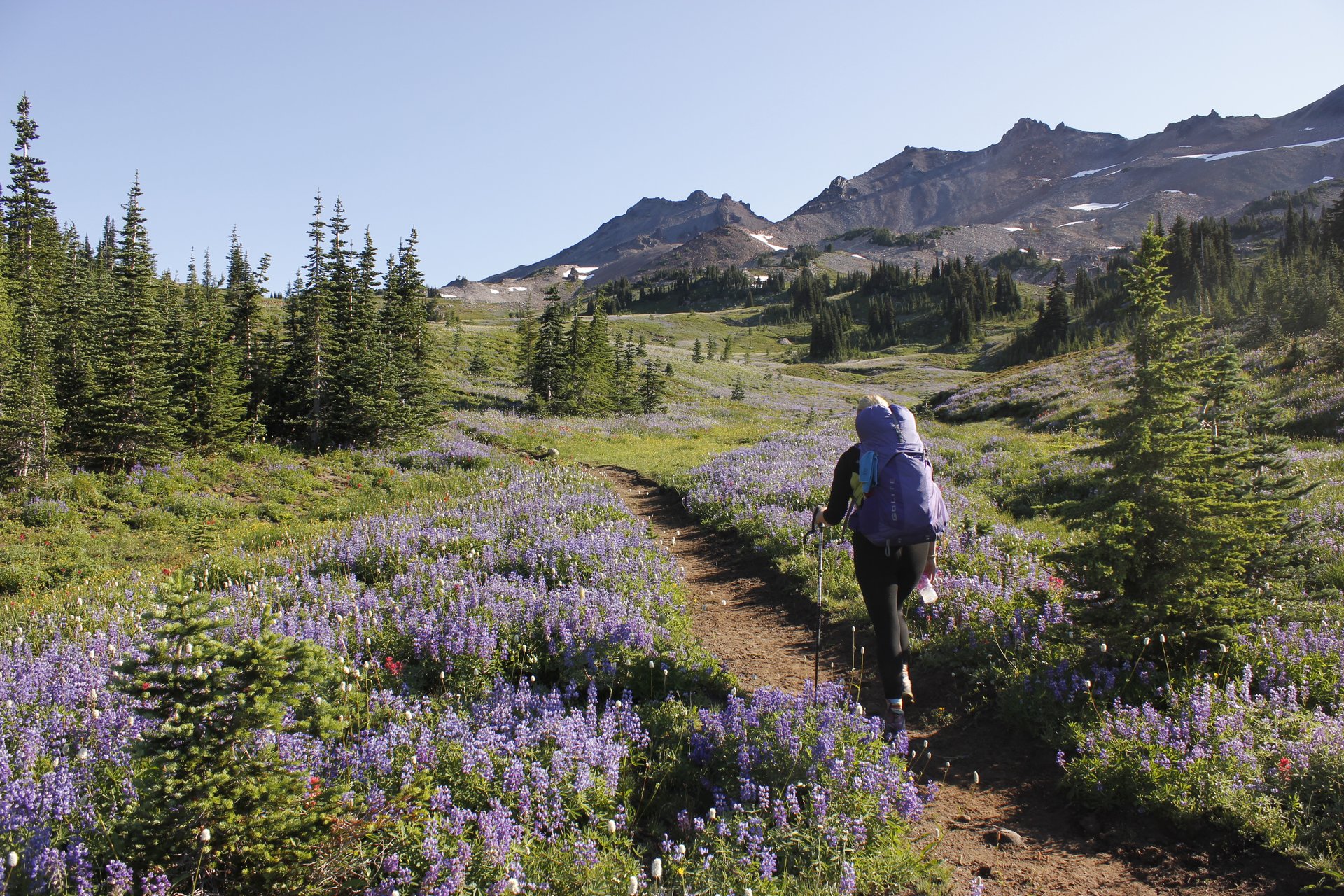
From the Snowgrass trailhead the path crosses Goat Creek and climbs gently through about 6.5 km of forest — WTA calls it “four forested miles of gentle uphill” — passing the junction with the Bypass Trail #97 at roughly 6.5 km. Shortly beyond, the trees open into Snowgrass Flat: a subalpine meadow of heather, wildflower bogs and pygmy forest at the headwaters of Snowgrass Creek, named for a plant that stockmen once called snowgrass. It is one of the great flower meadows of the Cascades, and camping in it is prohibited — it was being loved to death, and the ban is why it still looks like this.
At about 7.6 km (4.7 mi) Trail #96 ends at a T-junction with the Pacific Crest Trail. Turning left and north, the PCT climbs rocky benches toward the shoulder of Old Snowy Mountain, and at roughly 2,190 m the walker meets the day’s central decision.
There are three ways on from here, and choosing between them is the crux of the hike.
- Stay on the PCT and traverse the top of the Packwood Glacier. This is the direct line, and it is very often snow: it is described as the only year-round snow on the Pacific Crest Trail in Washington. The Forest Service’s language for the ground between here and Elk Pass is “narrow, rugged, and treacherous.”
- Take the high trail over Old Snowy’s north ridge. This bypass climbs about 140 m more than the glacier route and rejoins the PCT beyond, avoiding the snow entirely. It is what many walkers now do — a July 2026 trip report describes a party who “avoided the traverse across the sad remnants of the Packwood Glacier by hiking the PCT bypass over Old Snowy’s north ridge” — and it gives the same view of Adams and St Helens, with a better one of Rainier.
- Take the high trail and then the spur to the summit of Old Snowy (2,417 m), which adds around 215 m of climb and a kilometre in total. The scramble to the top requires some use of hands but nothing technical.
Declining the summit is a perfectly reasonable decision, and so is declining the glacier.
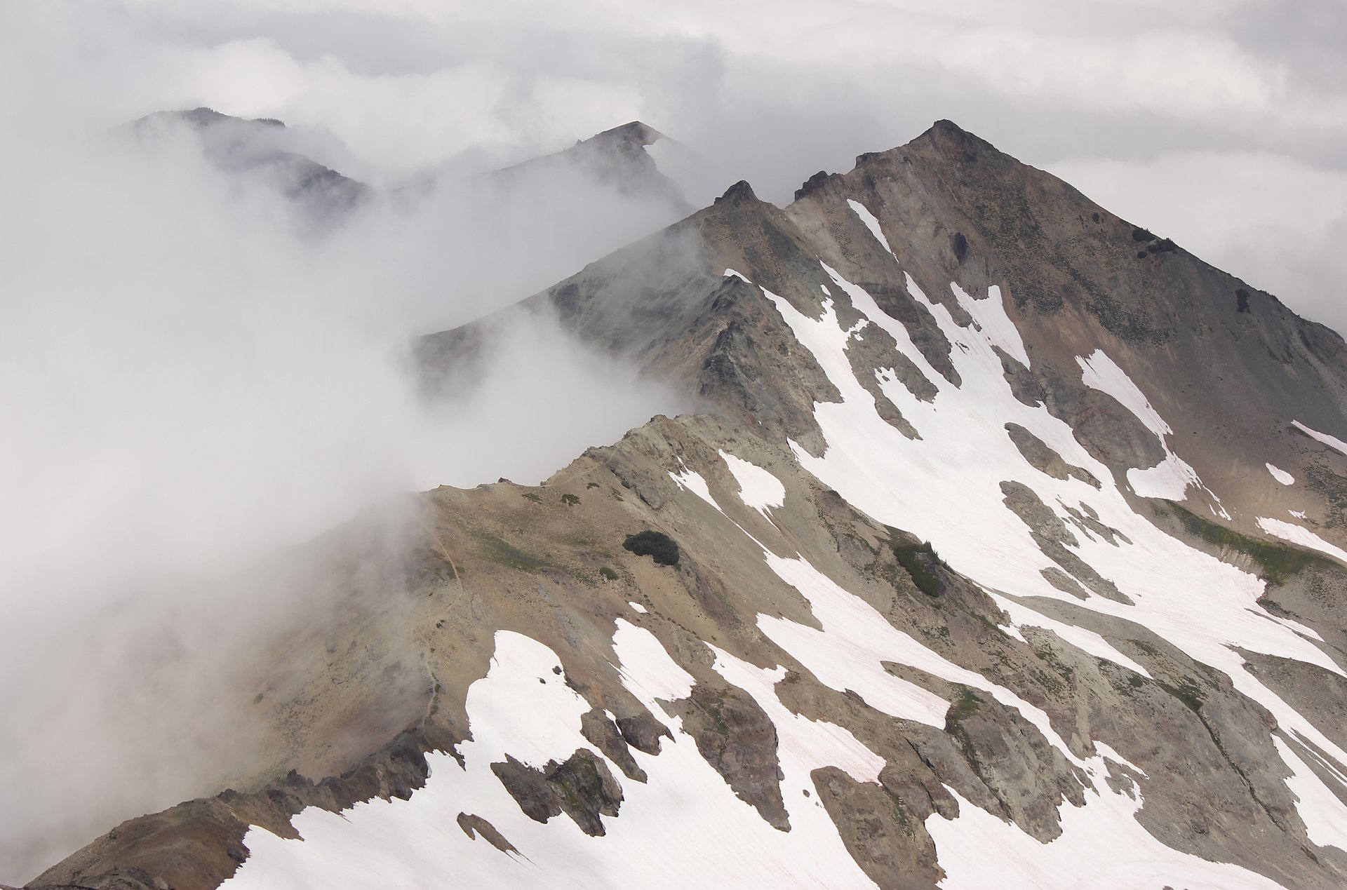
North of Old Snowy the trails merge and the Knife’s Edge begins — a rock arête carrying the PCT along the crest at around 2,130 m, with the McCall Glacier below on the east and the Packwood Glacier on the west, and nothing much to either side. WTA calls it “a queasy but wonderful ramble up, down and around a knife edge ridge,” and notes that the trail is “scraped into the precipice but still fairly secure.” It runs roughly 2.5 km before the crest relents and descends to Elk Pass at 2,042 m, about 13.7 km from the trailhead, where the Coyote Trail #79 comes in from the north-west.
Return the way you came. Note the direction carefully: Elk Pass lies north of Old Snowy. Cispus Pass, which is south, is a different place on a different day’s walk.
Why it is essential
This is the walk that makes the Goat Rocks a destination rather than a place between two volcanoes. For a few kilometres the Pacific Crest Trail leaves the forest entirely and runs along the top of a ruined volcano with Mount Rainier standing at one end of the sky and Mount Adams at the other, on a crest narrow enough that both are visible at once without turning the head. Very few maintained trails anywhere in the United States deliver that, and none in Washington delivers it better.
Equipment
- Sturdy boots — the crest is rock, and the traverse may be snow
- Ice axe. The Forest Service states plainly that “ice axes are always recommended” on this section, and that snowfields half a mile long are common in August. WTA’s own description says no ice axe is required. The Forest Service’s advice is the one to follow, particularly before mid-August
- Microspikes or crampons; trekking poles
- Weatherproof shell and warm layers — the Forest Service notes that warm, waterproof clothing is necessary throughout the summer up here
- 3–4 L of water. The spring at the head of Snowgrass Creek, at about 7 km, is the last reliable source before Old Snowy. There is nothing on the crest
- Sun protection — the crest is fully exposed
- Map, compass and downloaded track
- Headtorch: this is a ten-hour day
- Free self-issued wilderness permit; Northwest Forest Pass or US$5 day fee for parking
Hazards and notes
- The Packwood Glacier traverse is the crux and the sources disagree about it. The Forest Service calls the ground between Elk Pass and the Packwood Glacier “narrow, rugged, and treacherous,” warns that through-travel may not be possible until late July, and recommends an ice axe always. WTA describes only “some snow patches to cross (no ice axes required).” The high-trail bypass over Old Snowy’s north ridge avoids the question, and is the sensible default for a party without snow equipment
- Snow lingering across steep slopes is undermined by meltwater and collapses; trip reports this season describe holes opening to running water beneath the snow
- Exposure on the Knife’s Edge is real. WTA’s specific advice is to take no chances with passing horse-packers or with bad weather. One source notes the most unnerving section is not the crest itself but the traverse on the west side of the first peak north of Old Snowy
- Afternoon storms on a fully exposed rock crest are a serious matter; there is no shelter for two hours in either direction
- Camping is prohibited at Snowgrass Flat, and campfires are banned wilderness-wide this season
- This is the busiest corner of the wilderness. Expect a hundred or more people on the trails and car parks full early, even midweek. Do not park on Forest Road 2150 — it must stay clear for search and rescue
- Group size limit is 12, including stock
- One caution on planning: the Forest Service’s Trail #96 page currently carries a restriction reading “No hiker Access after June 9th until further notice.” Every other source contradicts it — the trailhead and road pages read “Site Open,” there is no closure in the forest alerts index, and walkers filed trip reports from this trail in July 2026. It appears to be a stale content error, but it has not been possible to disprove it from published sources. Ring the Cowlitz Valley Ranger District (360-497-1100) before relying on this trailhead
GPX / KML links
| Source | URL | Format | Notes |
|---|---|---|---|
| USFS — Trail #96 Snowgrass | fs.usda.gov | Official trail page | Route description; no GPX |
| USFS FSGeodata — National Forest System Trails | data.fs.usda.gov | Shapefile / geodatabase | Contains SNOWGRASS and PCNST geometry for the Goat Rocks; US federal government work |
| USFS — Pacific Crest Trail through the Goat Rocks | fs.usda.gov | Official page | The source of the ice-axe advice |
The Forest Service trails dataset is the best route-file source for this range — it is authoritative, refreshed within the last month, and it carries the official trail numbers (#96, #97, #2000) that the Forest Service uses in its own notices.
Sources
- USFS — Trail #96 Snowgrass
- USFS — Goat Rocks Wilderness
- Washington Trails Association — Old Snowy Mountain / Elk Pass
- Washington Trails Association — Snowgrass Flat
2. Goat Lake and Hawkeye Point
Snapshot
Itinerary
From the Berry Patch car park the Goat Ridge Trail #95 climbs gently into open forest. At about 1.6 km a signed spur, Trail #95A, branches left: it is a 1.8 km loop over the site of a former fire lookout on Goat Ridge and rejoins the main trail further on, adding roughly a mile. Both junctions are clearly signed, and walkers heading for the lake normally ignore it.
The forest gives way to rolling meadow at around 2.4 km. By 5 km the trail is crossing beneath talus slopes, views open south-west to Mount St Helens, and the climb begins in earnest into Jordan Basin, where Jordan Creek briefly runs alongside the path — in late summer, when the lower creeks have dried, this is usually the only water left.
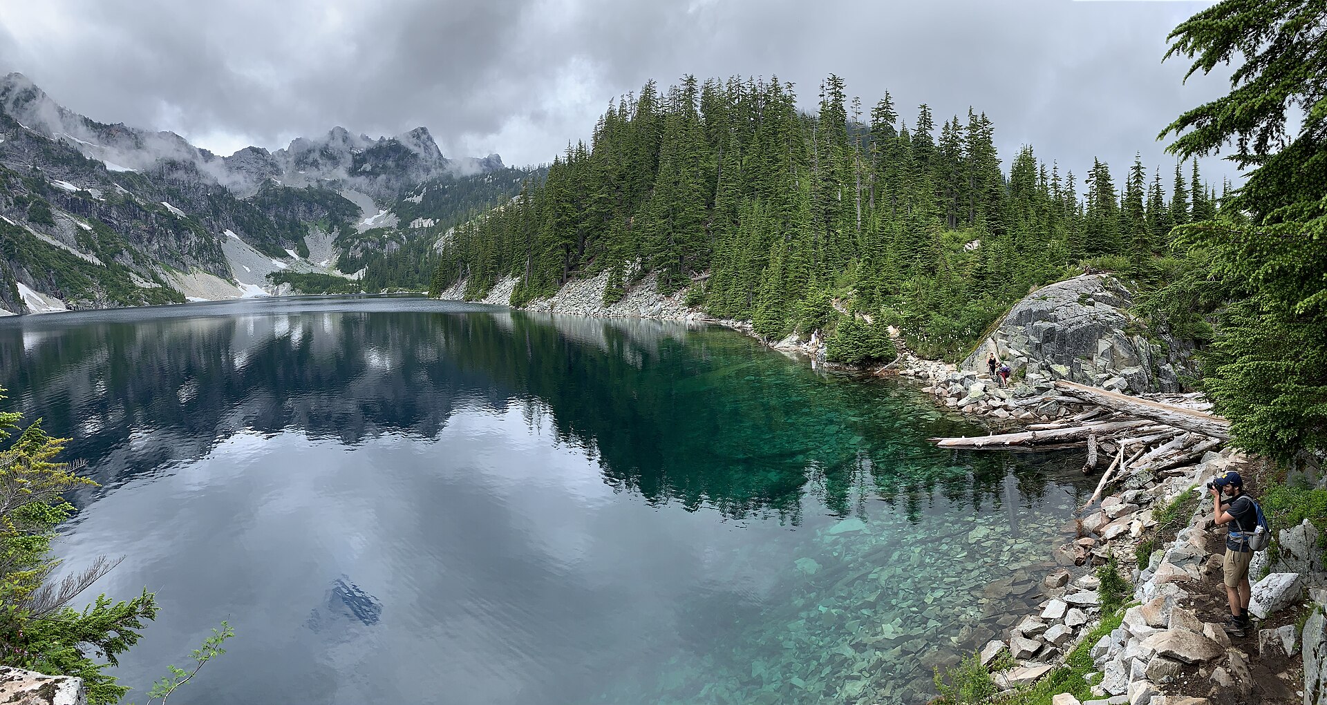
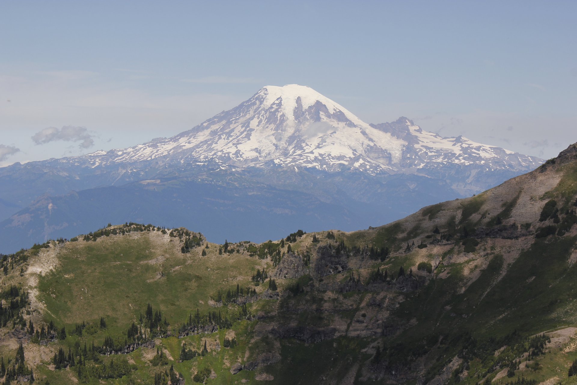
At just past 8 km the trail gains the crest of Goat Ridge at a signed junction, where a sign anchored in a cairn points left to Lily Basin (Trail #86). The Goat Lake route stays right on the main trail, running the ridgeline with Mount Adams filling the south and Goat Creek Basin dropping away below. Pink-hued rock walls appear ahead, and shortly after, Goat Lake: a chilly turquoise sheet of water in a north-facing cirque beneath Old Snowy Mountain, frozen for several months of the year and often still ringed by snow in August.
Hawkeye Point — the peak that towers over the lake, 500 m west of it and a thousand feet above — is reached from that same signed junction. Turning left onto Trail #86 and following it a few hundred metres to the ridge crest, an unmaintained boot path climbs north-east to the summit at 2,265 m. It is roughly 600 m of steep, loose walking, and there is a deep saddle to cross on the way whose snow can persist until late August or, in some years, not melt at all. When the snow is gone it is a walk; when it is not, it is a scramble on steep snow, and this season walkers have reported soft snow and breaking through on the steeper patches. A cupola lookout stood on the summit from 1927, the first in the Packwood district, but it was abandoned within six years because fog too often swallowed the peak, and nothing remains.
Why it is essential
Goat Lake is the cirque of the range: the clearest single demonstration of what the glaciers did here, a lake held in a rock bowl that faces away from the sun and is frozen for a third of the year. The ridge walk to reach it is long and open and gives Mount Adams for most of its length. And Hawkeye Point, for those willing to leave the maintained trail, provides the view down onto the lake with Old Snowy behind it that appears on every photograph of this place.
Equipment
- Sturdy boots
- Trekking poles; microspikes into August for the snow patches at the lake and, especially, in the saddle below Hawkeye Point
- Weatherproof shell and warm layer
- 3 L of water — the creeks in the first half dry up in late summer, and Jordan Creek is the reliable backstop
- Insect repellent. Mosquitoes here are described in trip report after trip report as a serious problem into July
- Sun protection on the exposed ridge
- Free self-issued wilderness permit; Northwest Forest Pass or US$5 day fee
Hazards and notes
- Snow at the lake and in the Hawkeye saddle lingers far into the summer, and it is undermined by meltwater — trip reports this season describe holes opening to running water beneath snow patches on the north aspects
- The Hawkeye Point summit path is unmaintained, steep and loose, and is a scramble rather than a walk when snow remains
- The ridgeline trail is well built but is sloughing away in a few places
- Campfires are prohibited within a quarter-mile of Goat Lake’s shoreline as a permanent rule, quite apart from this season’s forest-wide ban
- Do not confuse this Goat Lake with the better-known Goat Lake in the Mt Baker-Snoqualmie National Forest — the Forest Service warns about the collision, and trip reports for the two are routinely conflated
- The Berry Patch car park fills quickly at weekends, and the wider area is the busiest in the wilderness
- Berry Patch was a Forest Service ranger station from about 1910 into the 1930s, and long before that an important Taidnapam and Yakama berry-picking site — the name is not decorative
GPX / KML links
| Source | URL | Format | Notes |
|---|---|---|---|
| USFS — Trail #95 Goat Ridge | fs.usda.gov | Official trail page | Route description; no GPX |
| USFS — Trail #86 Lily Basin | fs.usda.gov | Official trail page | Names Hawkeye Point and warns of steep late-lying snowbanks |
| USFS FSGeodata — National Forest System Trails | data.fs.usda.gov | Shapefile / geodatabase | Note the dataset spells it “LILLY BASIN” with two Ls |
Sources
- Washington Trails Association — Goat Lake
- USFS — Trail #95 Goat Ridge
- USFS — Trail #86 Lily Basin
- USFS — Berry Patch trailhead
3. Nannie Ridge to Sheep Lake
Snapshot
Itinerary
The trail starts near the eastern end of Walupt Lake Campground. Some 70 m in, at an information board with the wilderness permit box, the Nannie Ridge Trail #98 veers left, marked by a weathered wooden sign. It crosses a small bridge — there may be shallow water over the path in early season — and then, after about 1.6 km, begins to climb in earnest.
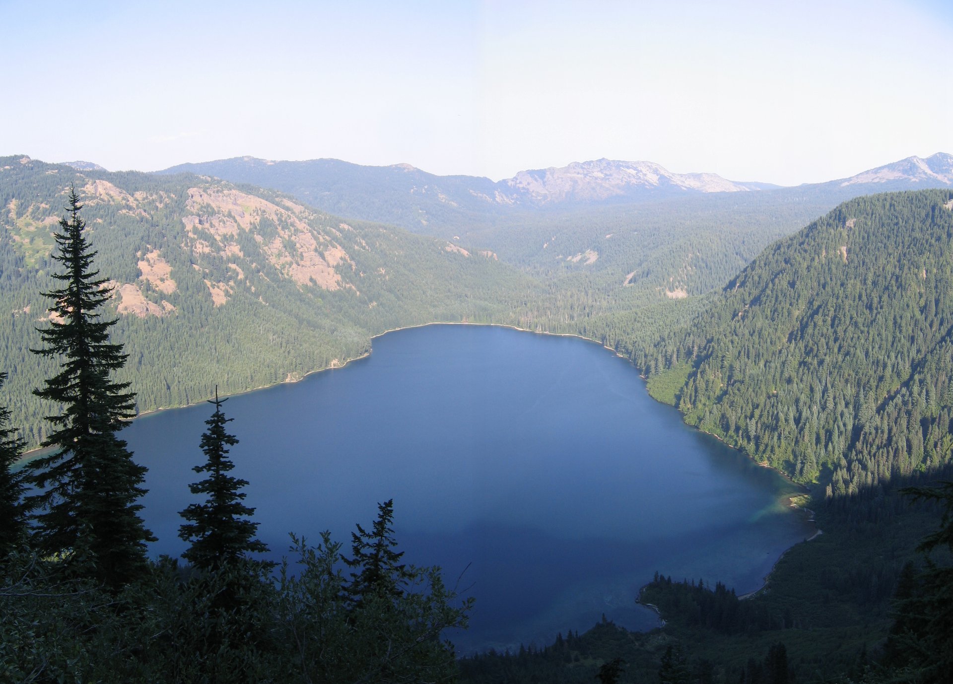
The next stretch is the work of the day: 565 m of ascent in about 4 km of switchbacks, gaining the ridge crest just below Nannie Peak at around 1,781 m. A few steps further, an exposed ledge on the right gives the first proper view — Mount Adams across the south, the Goat Rocks crest to the north. Those with energy can add a half-mile climb up an unmarked path to Nannie Peak itself.
A quarter-mile past the viewpoint, note that the trail has been rerouted: the old line continues right, but the new, well-worn path climbs to the left. Beyond, the walking changes completely — the trail rolls along Nannie Ridge through open country, passes a small pond in a stand of trees at about 5.2 km, and comes down to Sheep Lake at 7.4 km (4.6 mi): a small alpine lake in wildflower meadows, with established campsites around it and the Pacific Crest Trail arriving from the north.
Return the same way, or make a 23 km day of it by following the PCT north and returning on the Walupt Lake Trail.
Why it is essential
It is the ridge walk of the range, and it is free. Nannie Ridge buys a genuine alpine crest for a single hard climb and then hands over four kilometres of easy rolling walking with Mount Adams filling the sky ahead. Sheep Lake sits in flower meadows at the end of it, at the foot of the Pacific Crest Trail, and it makes the natural turning point. In a range whose signature walk is a seventeen-mile day with an ice axe, this is the one that gives most of the same country for half the commitment.
Equipment
- Hiking boots
- Trekking poles for the steep front-loaded climb and the descent
- 3 L of water — the ridge is dry. The creeks crossed in the first kilometre or two may be entirely dry by late summer, and there is no water between the trailhead and Sheep Lake, which is the first reliable source. Treat lake water
- Weatherproof shell and warm layer
- Sun protection on the open ridge
- Insect repellent — reports from June describe being “eaten alive”
- Microspikes in early season; parties were still turning back for want of them in mid-June 2026
- Free self-issued wilderness permit at the trailhead
Hazards and notes
- The ascent is steep and sustained and comes almost entirely in the first 4 km — pace it
- No water on the climb. This is the single most important practical fact about the route
- Snow and ice above 1,500 m into late June; mud, downed trees and washed-out sections early in the season
- No fee or pass of any kind is required here — unusual among the Goat Rocks trailheads
- Parking is for 13 cars at the trailhead, with overflow just before the bridge outside the campground. Parking on the right is reserved for campers
- If walking the PCT loop variant, note that the Pacific Crest Trail between Sheep Lake and Cispus Pass crosses the Yakama Indian Reservation, which is closed to the general public except for the PCT corridor itself. Stay on the trail
- Campfires banned wilderness-wide this season
GPX / KML links
| Source | URL | Format | Notes |
|---|---|---|---|
| USFS — Trail #98 Nannie Ridge | fs.usda.gov | Official trail page | Route description; no GPX |
| USFS FSGeodata — National Forest System Trails | data.fs.usda.gov | Shapefile / geodatabase | Contains Trail #98 and the PCT; US federal government work |
| USFS — Walupt Lake trailhead | fs.usda.gov | Official page | Access and facilities |
Sources
- Washington Trails Association — Nannie Ridge
- USFS — Trail #98 Nannie Ridge
- USFS — Walupt Lake trailhead
4. Bear Creek Mountain
Photo status: No licence-compatible image found in this pass.
Snapshot
Itinerary
The Section 3 Lake trailhead starts at 1,829 m, which is the whole point: this is the only walk in the range that begins in the alpine zone, and it converts a modest 11 km outing into a 2,236 m summit.
The trail climbs through pine forest and breaks out into its first alpine meadow at about 1.3 km, full of buttercup and paintbrush. At 3.2 km it crosses Bear Creek itself in a meadow of monkeyflower, daisy and lupine, and shortly after — at about 4.2 km — reaches a junction with the trail up from Conrad Meadows.
From here the way becomes harder to follow, winding through rocky talus and past high alpine tarns. The last stretch to the summit is steep and unrelenting, and gains the shoulder before a final walk to the true summit at 2,236 m. The view is a full circle: Mount Adams, Mount Rainier, the whole Goat Rocks crest, and east across the William O. Douglas Wilderness.
There is nothing left of the fire lookout that stood here — an L-4 cab built in the early 1930s, last staffed in 1945 and gone by 1960. Only scattered debris remains, and the site is worth understanding as a site rather than a structure.
Why it is essential
No other hike in this range gives so much for so little walking. Bear Creek Mountain is a genuine 2,236 m summit with a 360-degree Cascade panorama, and it takes four hours. It is also the only route in this article on the dry east side of the crest, which is a different country — pine rather than fir, meadow rather than bog — and it is the quiet one, because the road keeps the numbers down.
Equipment
- Hiking boots
- Trekking poles or traction devices. WTA is specific that snow sticks around on the north face of the mountain, which is exactly where the route goes
- Weatherproof shell and warm layer — this is an exposed summit
- 2.5–3 L of water. Bear Creek at 3.2 km is the only source; the trail is dry and dusty by late summer, and there is nothing at the trailhead. One party in June 2026 had to descend to melt snow
- Sun protection
- Map and compass — the trail is genuinely hard to follow across the talus
- Free self-issued wilderness permit
Hazards and notes
- The road is the crux of this hike, and it deserves to be taken seriously. The Forest Service posts a plain alert — “The road is rough” — and recommends a high-clearance vehicle. Trip reports are consistent and more precise: the genuinely difficult part is the final half-mile or so, with deep ruts, boulders and a narrow single-lane section contouring an open slope above a steep drop. One walker’s warning is worth quoting: “Please don’t understate that last half mile of road. It could easily rip out part of your undercarriage.” There are pullouts before the bad section, and parking there adds only about 1.5 km of walking round-trip. Several drivers of ordinary cars have made it; several have turned back
- Sources disagree on the driving distance along Forest Road 1204 — WTA says 3.7 miles to road’s end, the Forest Service says about 6
- Snow lingers on the north face into late season
- Route-finding through the talus above 4 km is genuinely awkward
- No fee or pass required. No toilets, no water, no bins — pack everything out
- The Conrad Meadows and Tieton Meadows approaches to this summit are both overgrown; Section 3 Lake is the working trailhead
- This walk stays on national forest land throughout and does not approach Yakama Reservation land
GPX / KML links
| Source | URL | Format | Notes |
|---|---|---|---|
| USFS — Trail #1130 Bear Creek Mountain | fs.usda.gov | Official trail page | Route description; no GPX |
| USFS — Section 3 Lake trailhead | fs.usda.gov | Official page | Carries the “road is rough” alert |
| USFS FSGeodata — National Forest System Trails | data.fs.usda.gov | Shapefile / geodatabase | Contains BEAR CREEK MOUNTAIN geometry |
Sources
- Washington Trails Association — Bear Creek Mountain
- USFS — Section 3 Lake trailhead
- USFS — Trail #1130 Bear Creek Mountain
5. Packwood Lake
Snapshot
Itinerary
The trail leaves the end of Forest Road 1260 and climbs very gently through old-growth forest, passing two small harvest areas in the first kilometre with glimpses of Mount Rainier. It enters the Goat Rocks Wilderness and runs level and easy for about 6.5 km, the views limited by the trees but opening occasionally to the jagged crest of the Goat Rocks and to Johnson Peak.
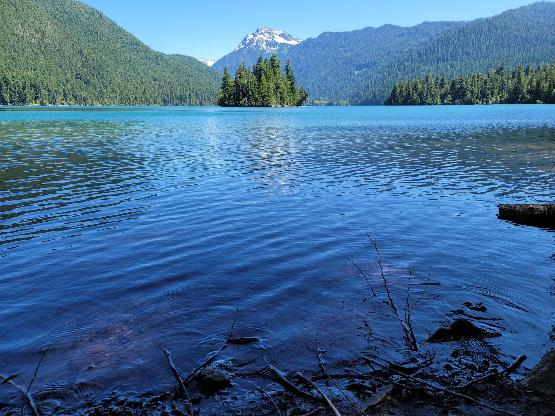
Approaching the lake the trail leaves the wilderness again — the lake basin is an inholding excluded from the designated area, which is why there is hydroelectric infrastructure here and why the backcountry permit box sits a mile beyond the water. It descends to the shore past the old ranger station, and reaches Packwood Lake: a 452-acre sheet of water with a wooded island, Agnes Island, offshore, and Johnson Peak standing behind it.
The lake exists because roughly 1,200 years ago a mass of soil and rock slid off Snyder Mountain and dammed Lake Creek. Long before it was surveyed for hydroelectric potential it was a fishing and camping place of the Taidnapam people, and the trail itself was built in 1910 by the Valley Development Company, which had plans for a power scheme.
A log cabin built in 1910 still stands at the lakeshore, locked. It went up as a camp cabin for the power-development company and was later taken over by the Forest Service as one of the Packwood district’s first guard stations, which makes it one of the oldest buildings in the national forest — only the Gotchen Creek guard station near Mount Adams, from 1909, is older. Crossing the wooden bridge over Lake Creek leads to a trail linking several campgrounds along the north shore.
Why it is essential
Every range needs a walk that anyone can do, and in the Goat Rocks this is it: ten miles of nearly level old-growth forest to a large lake with an island in it, walkable from May when the crest is still buried under twenty feet of snow. It is also the historical route of the range — a trail cut in 1910 for a power scheme that was never built, to a lake the Taidnapam had been fishing for centuries, past a cabin that has stood by the water for more than a hundred years. It is not a wilderness lake in the pristine sense; there is a pipeline, and the basin is carved out of the wilderness on the map. It is better understood as a lived-in landscape, and it is the more interesting for it.
Equipment
- Standard hiking shoes or boots — this is an easy trail
- Weatherproof layer
- 2 L water; treat anything taken from the creek or lake
- Insect repellent in early summer
- Free self-issued wilderness permit (the box is a mile past the lake, which catches people out — the trailhead has one too)
- Northwest Forest Pass, America the Beautiful pass, or US$5 at the fee tube. The Washington State Discover Pass is not accepted here
Hazards and notes
- Few. This is the safe walk of the range: gentle, forested, low, and open from May
- The trailhead also serves the Pipeline Road Trail #74, which is open to ATVs, motorcycles and bicycles — expect motorised traffic near the start, and note that motor restrictions are in force at the lake itself
- Distance is disputed: WTA gives 10 miles round trip and puts the ranger station at 4.6 miles, but at least one walker measured 3.5 miles to the same point
- Horse trailers and OHV trailers use the lower car park; the lot fills at weekends
- A claim circulating on local tourism sites that the Packwood Lake guard station is listed on the National Register of Historic Places is not correct. It is not listed. The confusion appears to stem from the La Wis Wis Guard Station (built 1937 by the Civilian Conservation Corps, NRHP reference 86000813), a different building in the campground about seven miles east of Packwood
- A ranger has been checking permits at the lake this season
GPX / KML links
| Source | URL | Format | Notes |
|---|---|---|---|
| USFS — Trail #78 Packwood Lake | fs.usda.gov | Official trail page | Carries the trail’s 1910 history and the lake’s geology |
| USFS — Packwood Lake trailhead | fs.usda.gov | Official page | Access, fees and facilities |
| USFS FSGeodata — National Forest System Trails | data.fs.usda.gov | Shapefile / geodatabase | Contains PACKWOOD LAKE geometry |
Sources
- USFS — Trail #78 Packwood Lake
- USFS — Packwood Lake trailhead
- Washington Trails Association — Packwood Lake
Missing data / follow-up work
- The Snowgrass Trail #96 access anomaly must be resolved by phone. The Forest Service trail page carries a restriction reading “No hiker Access after June 9th until further notice,” which is contradicted by the trailhead pages, the road status, the forest alerts index and July 2026 trip reports. It appears to be stale content, but it could not be disproved from published sources. Ring the Cowlitz Valley Ranger District on 360-497-1100 before relying on that trailhead.
- No licence-compatible photograph of Bear Creek Mountain exists. Wikimedia Commons has no category for it, and the only file matching the name is a peak in Colorado. The hike carries the standard note. Commissioned or personally shot photography is the only fix.
- No licence-compatible photograph of the Goat Rocks Sheep Lake exists either. Commons has around twenty images of a “Sheep Lake” in the correct county, but every one of them is the Chinook Pass Sheep Lake in the William O. Douglas Wilderness, some 50 km north. They must not be used.
- Walking times are estimates. Neither the Forest Service nor WTA publishes times for any of these five routes; the figures above are calculated from distance and ascent.
- Elevation gain on hike 1 is unresolved and probably understated. WTA gives 3,100 ft, but the arithmetic from the trailhead to Old Snowy alone exceeds that before the return re-ascent from Elk Pass is counted.
- The Pacific Crest Trail’s high point in Washington is disputed — sources give figures ranging from about 7,000 ft to 7,596 ft — so no figure is printed here.
- Peak rankings within the range are contradictory across sources (“second,” “third,” “fifth highest”) and are therefore omitted.
- Sources disagree on the driving direction out of Packwood for the Snowgrass and Berry Patch trailheads: the Forest Service says west on US-12, WTA says east. WTA appears to be right, since Forest Road 21 leaves US-12 east of town, but this should be checked on the ground.
- Parking capacity is unpublished for Snowgrass, Berry Patch, Packwood Lake and Section 3 Lake. Only Walupt Lake has a figure (13 cars).
- Bear Creek Mountain’s summit trail — whether the final push is the 0.4 miles WTA describes or the separate 1-mile Lookout Trail #1130A named by the Forest Service — is unresolved.
Further reading
| Source | URL |
|---|---|
| USFS — Goat Rocks Wilderness | fs.usda.gov |
| USFS — Gifford Pinchot wilderness regulations | fs.usda.gov |
| USFS — Gifford Pinchot alerts and closures | fs.usda.gov |
| USFS — Gifford Pinchot fire restrictions | fs.usda.gov |
| USFS — Okanogan-Wenatchee alerts | fs.usda.gov |
| Wilderness.net — Goat Rocks Wilderness | wilderness.net |
| Pacific Crest Trail Association | pcta.org |
| WTA — how to hike in mountain goat country | wta.org |
| USFS FSGeodata Clearinghouse — National Forest System Trails | data.fs.usda.gov |
| Washington Trails Association | wta.org |