Regional overview
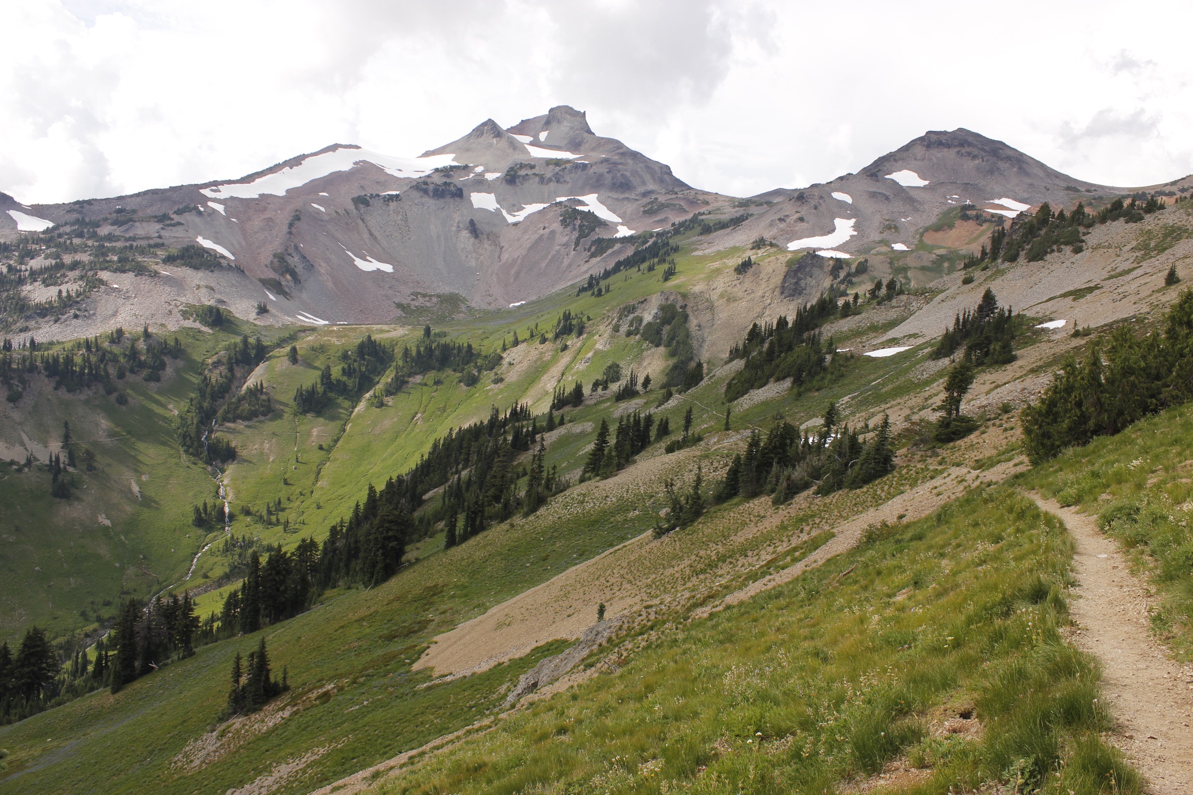
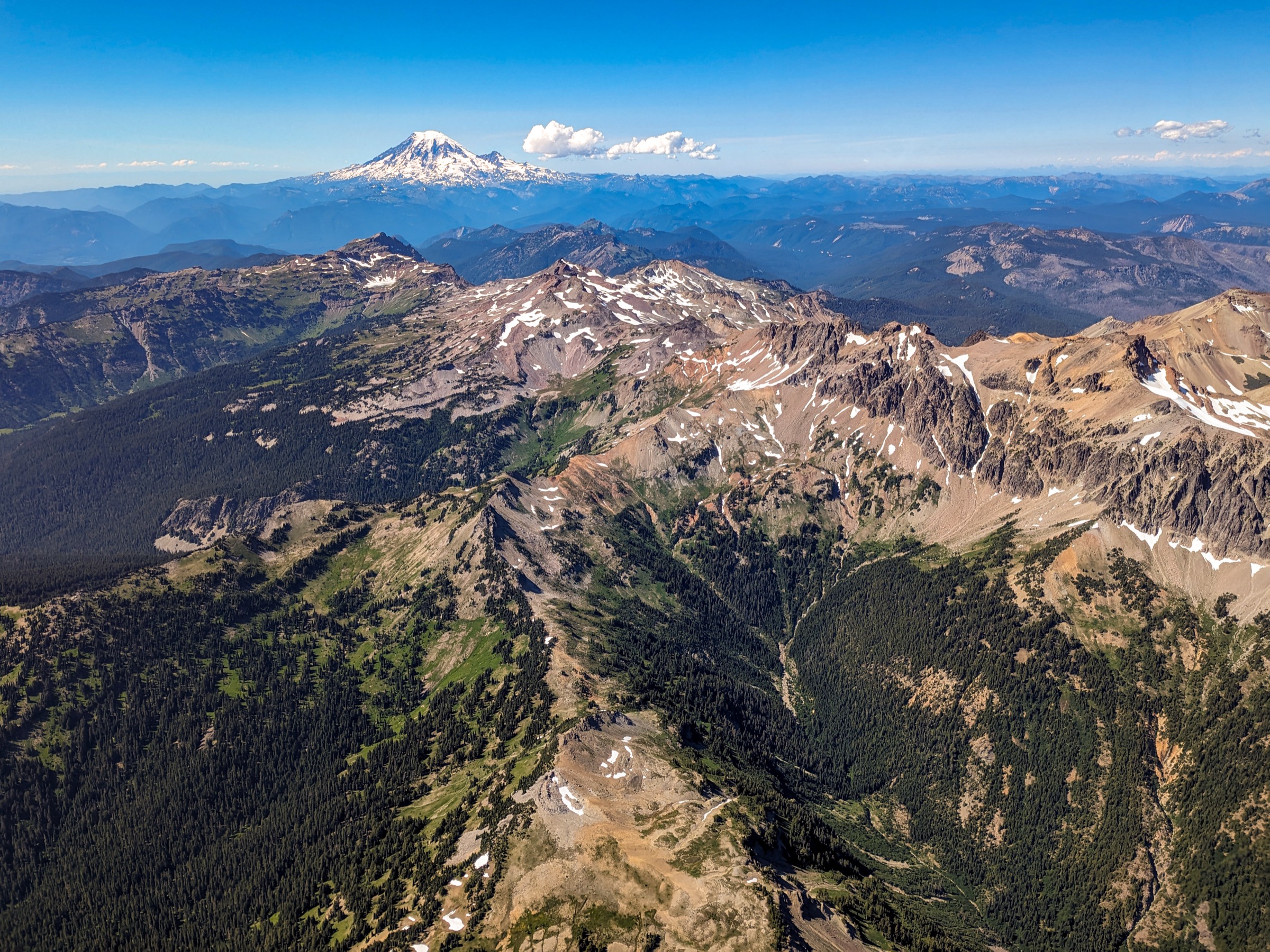
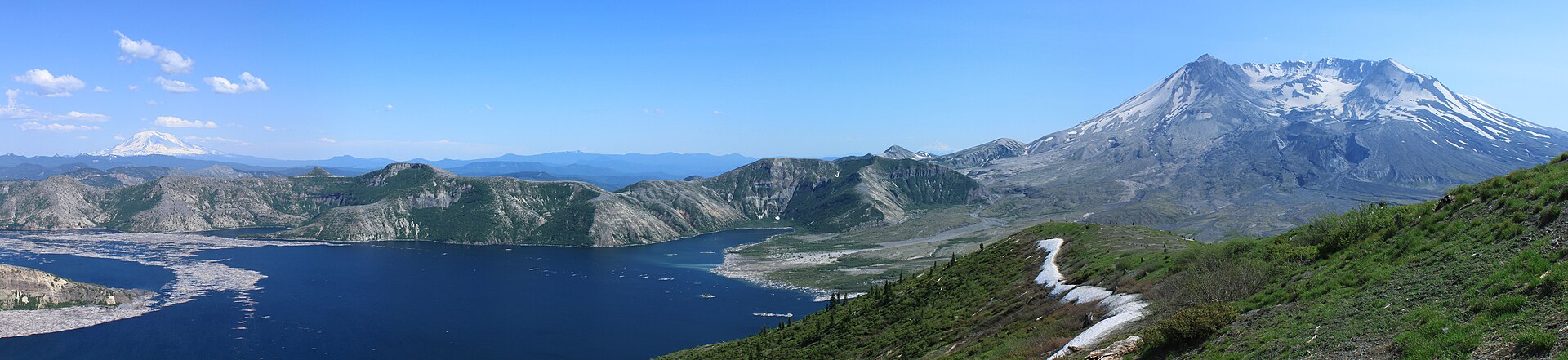
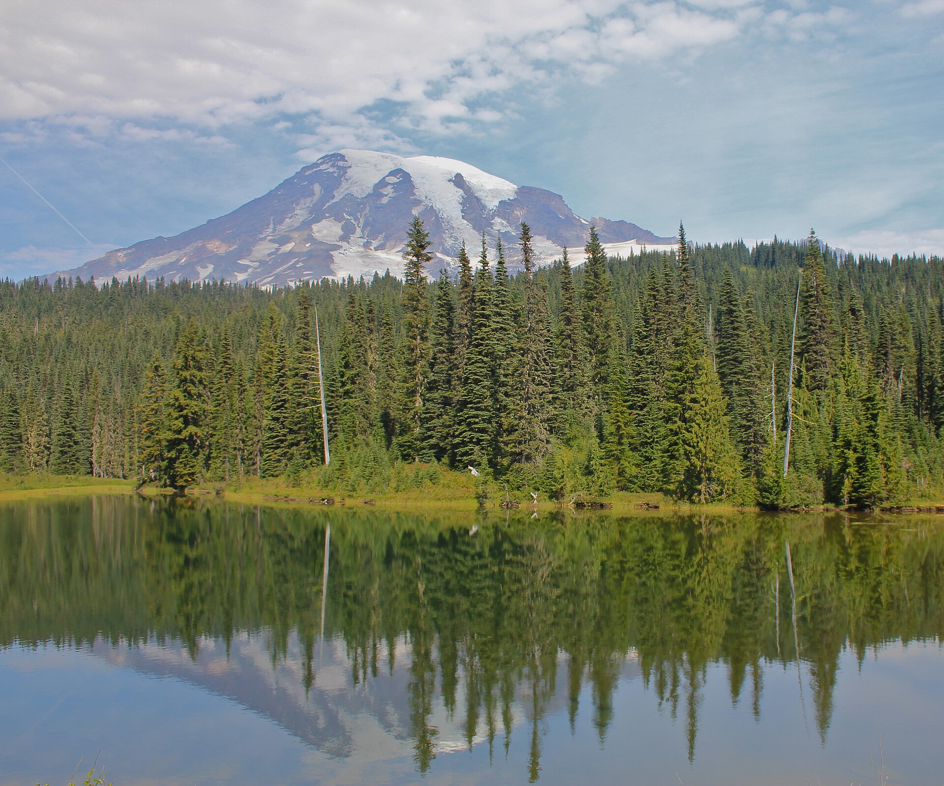
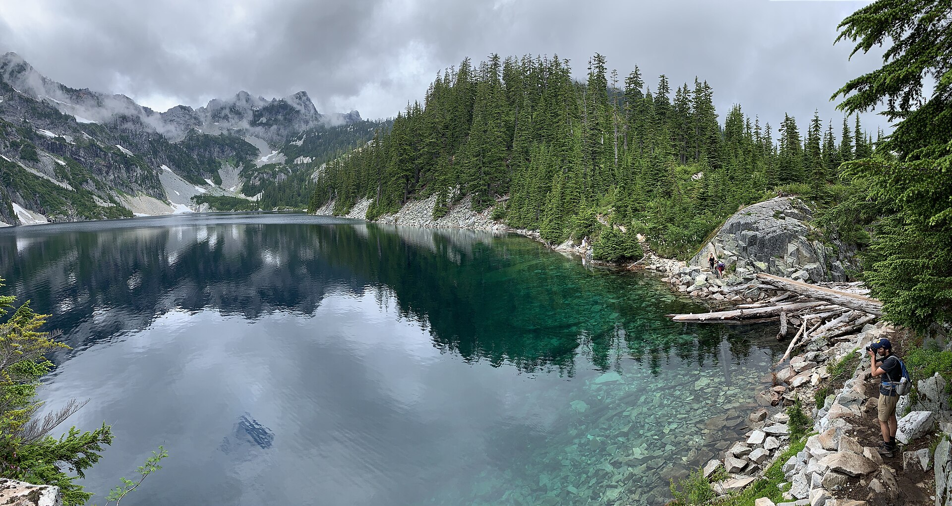
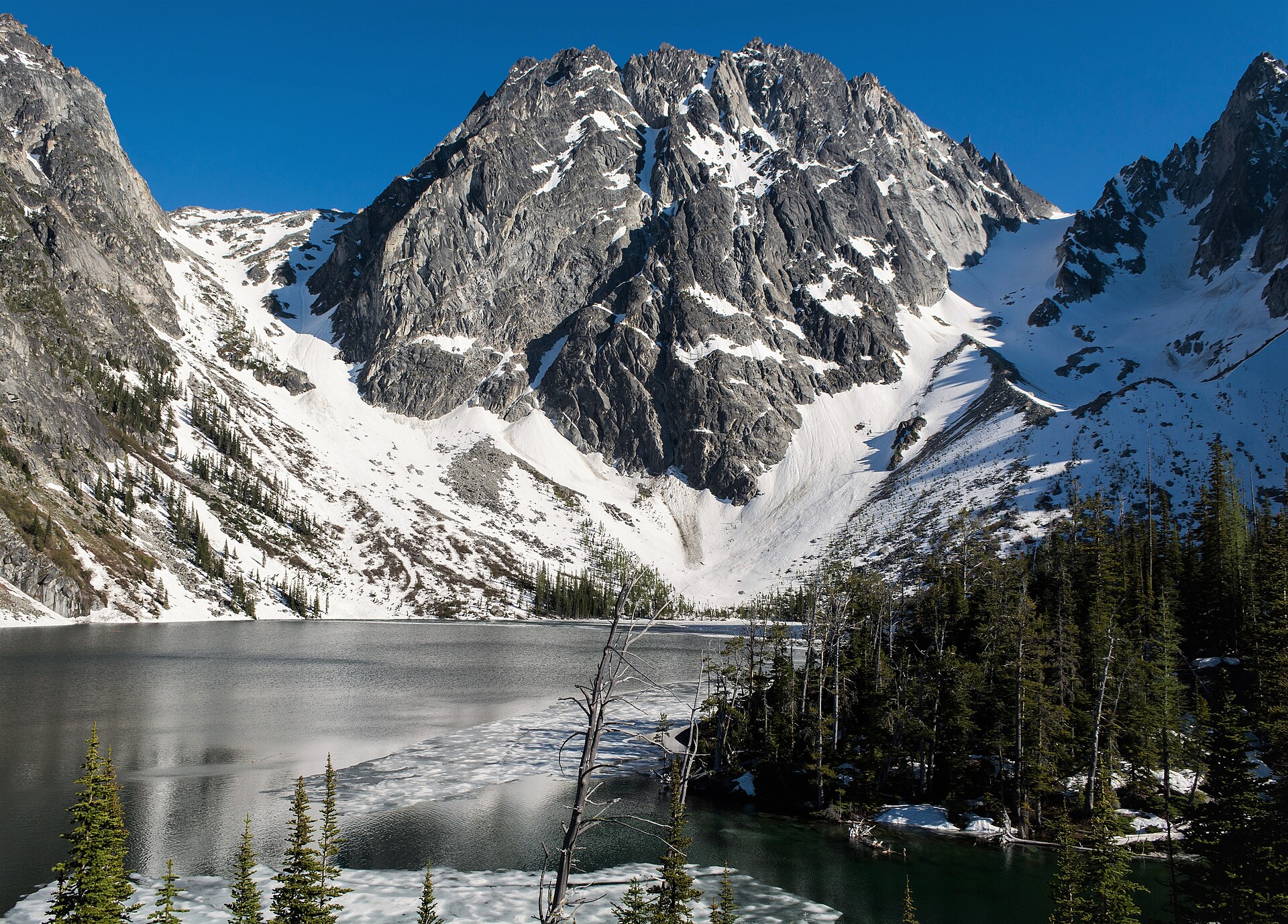
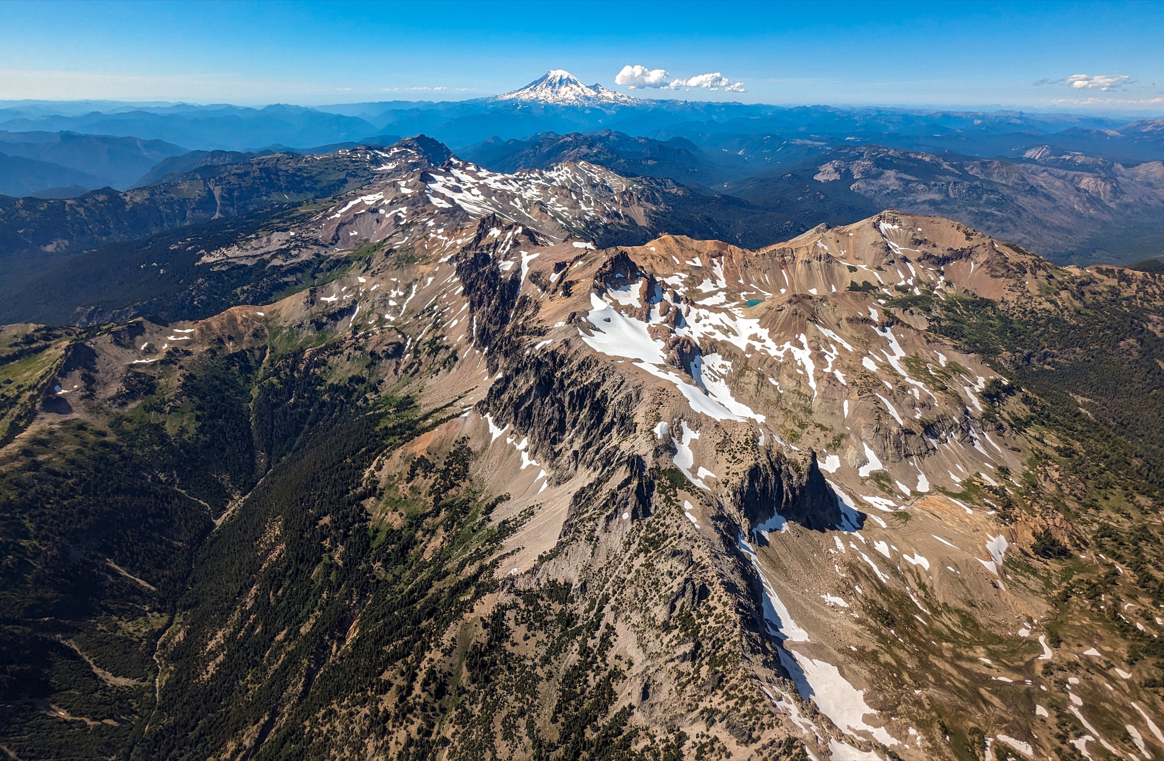
The Goat Rocks Wilderness occupies the gap between Mount Rainier and Mount Adams, and it is the odd one out among the volcanic landmarks of the southern Washington Cascades: not a cone but the eroded wreckage of one. The Goat Rocks are the deeply dissected remains of a large stratovolcano that has been extinct for roughly two million years, and glaciation has since carved its core into a serrated crest of ridges, cirques and arêtes. The result is that this 437 square kilometre wilderness — 108,023 acres, split between the Gifford Pinchot National Forest on the west and the Okanogan-Wenatchee on the east — carries a genuinely alpine skyline that the intact volcanoes on either side cannot match. Gilbert Peak reaches 2,500 m; Old Snowy Mountain, at 2,417 m, still holds small glaciers on its flanks. Roughly 190 km of trail cross the wilderness, and unusually, much of it stays at or above timberline, on the ridges rather than in the valleys.
The hiking centres are few and simple. Packwood, on US-12, is the practical base for the western trailheads, reached by Forest Road 21 (Johnson Creek Road) and its spurs — this is the way to Snowgrass, Berry Patch, Chambers Lake and Walupt Lake, and the approach to the wilderness’s most famous ground. Lily Basin, also from Packwood, is reached by Forest Road 48. On the eastern side, Naches and the Tieton valley give access via Forest Road 1200 and its network to Bear Creek Mountain and Conrad Meadows. The Pacific Crest Trail runs 50 km through the wilderness, over the shoulder of Old Snowy and along the Knife Edge, and it is the spine that several of the walks below either join or cross.
Two things dominate planning here, and both are about snow. Annual snowfall in the Goat Rocks typically exceeds 7.5 m, and the Forest Service states plainly that it does not melt entirely “until late July or early August.” The wilderness boilerplate — that high-elevation trails melt out by mid-July — is optimistic in practice, and 2026 has run late: hikers needed snowshoes on Bear Creek Mountain in mid-June, microspikes were called essential above 1,500 m on Nannie Ridge on 13 June, and the saddle to Hawkeye Point above Goat Lake was still holding intimidating snow on 2 July. Before about 20 July, treat the high routes as snow routes. The second consequence is water: the ridges are dry, the Forest Service lists “Water available: No” for most of the main trails, and creeks that run in July are frequently gone by September. Three litres per person is the working minimum.
Permits are simple and free — a self-issued wilderness permit at the trailhead is required to enter, there is no quota and no reservation system — but fire rules in 2026 differ between the two forests and the difference matters. On the Gifford Pinchot side (Snowgrass, Goat Lake, Old Snowy, Nannie Ridge, Lily Basin) a forest-wide order effective 1 July to 31 October 2026 prohibits campfires and solid-fuel stoves outright, permitting only gas, propane or pressurised-liquid stoves with an on/off valve. On the Okanogan-Wenatchee side (Bear Creek Mountain) Stage 1 restrictions run from 19 June to 15 October 2026, and campfires are permitted within the Goat Rocks Wilderness only below 1,524 m — which, since the Bear Creek Mountain trailhead sits at 1,829 m, means no fire there in any case. Group size throughout is capped at 12, counting people and pack stock combined.
⚠️ Unresolved access notice — read before planning
Selection rationale
The five hikes below cover both flanks of the wilderness and the full range of its terrain. Snowgrass Flats and Goat Lake is the classic — the great subalpine meadow of the Goat Rocks and the cirque lake above it, on a loop that is the single most representative day in the range. Old Snowy Mountain via the Pacific Crest Trail is the serious one: a long, hard day to a 2,417 m summit and the Knife Edge, the most celebrated stretch of the PCT in Washington. Nannie Ridge to Sheep Lake is the ridge-and-lake walk from Walupt, with Mount Adams filling the southern sky and no trailhead fee. Heart Lake via Lily Basin is the quiet counterpart, a long, gently graded traverse with Packwood Lake and Mount Rainier laid out below — though its access road carries an unresolved damage report. Bear Creek Mountain is the east-side summit and by a wide margin the best return on effort in the wilderness: a 2,236 m peak for 377 m of ascent, because the trailhead starts so high.
Cispus Basin, Goat Ridge to Hawkeye Point, Angry Mountain and Shoe Lake are all strong and are listed in the follow-up section. The great constraint on this region is not the choice of hikes but their season: almost nothing here is reliably walkable before late July.
Summary table
| # | Hike | Country | Route type | Distance | Gain | Max elevation | Difficulty |
|---|---|---|---|---|---|---|---|
| 1 | Snowgrass Flats and Goat Lake | USA | Loop / out-and-back | ~13.2–20.0 km (~8.2–12.4 mi) | ~490–825 m | ~2,012 m | Strenuous |
| 2 | Old Snowy Mountain and the Knife Edge | USA | Out-and-back | ~24.9–27.4 km (~15.5–17.0 mi) | ~945–1,100 m | 2,417 m | Very strenuous |
| 3 | Nannie Ridge to Sheep Lake | USA | Out-and-back | ~15.0 km (~9.3 mi) | ~627 m | ~1,781 m | Strenuous |
| 4 | Heart Lake via Lily Basin | USA | Out-and-back | ~20.9 km (~13.0 mi) | ~579 m | ~1,874 m | Strenuous but well graded |
| 5 | Bear Creek Mountain | USA | Out-and-back | ~11.3 km (~7.0 mi) | ~377 m | ~2,236 m | Moderate |
1. Snowgrass Flats and Goat Lake
Snapshot
Itinerary
From the Berry Patch trailhead the Snowgrass Trail (#96) runs north-east through conifer forest, crossing Goat Creek on a bridge at roughly 3 km and passing through a cedar swamp that is notorious for mosquitoes in early summer. The trail then climbs in earnest, gaining about 335 m over 3 km through alternating talus and timber, and reaching the Bypass Trail (#97) junction at about 6.4 km. Shortly beyond, at the lower edge of Snowgrass Flat, the Lily Basin Trail (#86) comes in from the west. Snowgrass Flat itself is the destination for most parties: a subalpine meadow of more than four hectares at the headwaters of Snowgrass Creek, at about 1,768 m, and one of the great wildflower grounds of the Washington Cascades in late July and early August. Trail #96 ends above it, on the Pacific Crest Trail.
To make the loop, follow the Lily Basin Trail (#86) west and north, skirting Goat Lake — a cirque lake at about 2,012 m that stays partly frozen well into summer — then over the shoulder of Hawkeye Point and onto the Goat Ridge Trail (#95), which descends through Jordan Basin to Berry Patch. This half of the circuit is the higher, wilder and more exposed one, and it is the half that holds snow.
Why it is essential
Snowgrass Flat is the definitive Goat Rocks meadow, and the loop over Goat Lake is the single walk that best represents the wilderness: forest, talus, flower meadow, cirque lake and open ridge in one circuit, with the crest of the range overhead throughout. The ground is also historically significant. The route follows part of the Klickitat Trail system, used by Native peoples travelling over Cispus Pass towards the Klickitat River, and Berry Patch — a Forest Service ranger station from about 1910 to the 1930s — takes its name from its far older role as an important Taidnapam and Yakama berry-gathering ground.
Equipment
- Mountain hiking boots
- Microspikes and trekking poles if closing the loop before late July — the Goat Lake basin and the Hawkeye Point saddle hold snow with a poor run-out
- Warm layer and windproof shell for the open upper ground
- Sun protection
- 3 L water. USFS lists “Water available: No” for trails #96 and #95; Jordan Creek on the Goat Ridge side is the first reliable source
- Strong insect repellent — the cedar swamp above Goat Creek is severe in June and July
- Gas or liquid-fuel stove only, with an on/off valve (see fire rules)
Hazards and notes
- ⚠️ See the unresolved access notice above. The official Trail #96 page carries a hiker-access restriction that no other source supports. Telephone Cowlitz Valley Ranger District, (360) 497-1100, before travelling
- This is the busiest place in the wilderness. USFS states that hikers should “expect to see a hundred or more people on the trails,” and that the Snowgrass and Berry Patch car parks “fill early even on weekdays.” The meadows are being heavily impacted by use — stay on the tread
- Camping is prohibited within Snowgrass Flat, and campfires are prohibited within 400 m of the shoreline of Goat Lake
- Forest-wide fire restrictions (1 July – 31 October 2026) prohibit campfires and solid-fuel stoves; gas stoves with a shut-off valve are permitted
- Snow persists on the Goat Lake half of the loop into July. In 2026 a hiker on 2 July found the snowfields around the lake manageable but the saddle towards Hawkeye Point “sketchy without equipment”
- Expect deadfall, particularly on the Lily Basin section
- Mountain goats frequent the higher ground. Give them a wide berth
- A Northwest Forest Pass or America the Beautiful pass is required at Berry Patch, Snowgrass and Chambers Lake ($5 per day, $30 annual). A free self-issued wilderness permit is also required
- Group size limit: 12, counting people and stock combined
GPX / route file
| Source | URL | Format | Notes |
|---|---|---|---|
| USFS — Snowgrass Trail #96 | fs.usda.gov | Official page | No GPX published. Carries the disputed hiker-access restriction |
| USFS — Goat Ridge Trail #95 | fs.usda.gov | Official page | The western half of the loop |
| USFS National Forest System Trails (FSGeodata) | data.fs.usda.gov | File geodatabase / shapefile | Official bulk trail geodata, refreshed 28 June 2026. Filter by TRAIL_NO = 96, 95, 86. No per-trail GPX exists; conversion required |
| Washington Trails Association — Snowgrass Flat | wta.org | Trail database | Current trip reports — the fastest source of live snow conditions |
Sources
- USFS — Snowgrass Trail #96
- USFS — Goat Rocks Wilderness
- USFS — Wilderness regulations
- Washington Trails Association — Snowgrass Flat
2. Old Snowy Mountain and the Knife Edge
Snapshot
Itinerary
The approach follows the Snowgrass Trail (#96) for about 6.5 km to Snowgrass Flat, then takes the Bypass Trail (#97) up to the Pacific Crest Trail at roughly 7.5 km. The PCT then climbs a series of open benches above treeline, with the crest of the Goat Rocks rising ahead, to a saddle beneath the Packwood Glacier. This is the crux of the day: the trail traverses the head of the glacier’s basin on a steep slope that commonly holds hard snow well into August, with a long run-out below. From the saddle an unofficial spur climbs left up loose rock and scree to the summit of Old Snowy Mountain at 2,417 m, a genuine Cascade summit with Rainier, Adams, St Helens and Hood all visible and the wilderness laid out below.
North of Old Snowy’s shoulder the PCT runs out along the Knife Edge, the most celebrated section of the trail in Washington: a narrow crest with the Packwood Glacier falling away to the west and the McCall Glacier to the east, and no shelter of any kind. Parties can continue along it towards Elk Pass and return, or turn back from the summit. Either way, this is a long day and it should be started early.
Why it is essential
This is the great day of the Goat Rocks and one of the finest mountain days in Washington that requires no rope. It combines the meadows of Snowgrass, a 2,417 m summit that still holds glaciers, and the Knife Edge — the stretch of the Pacific Crest Trail that most through-hikers name as the best in the state. It is included with a plain caveat: at 25 to 27 km and up to 1,100 m of ascent, finishing on loose volcanic scree at 2,400 m, it is at the outer limit of a day hike, and most parties do it as an overnight from a camp near Snowgrass. Fit, early-starting walkers manage it in a day; nobody should attempt it casually.
Equipment
- Mountain hiking boots
- Ice axe and microspikes or crampons, and the knowledge to use them, for the Packwood Glacier traverse in July and often into August. This is not optional kit early in the season
- Trekking poles
- Warm layer, hat, gloves and windproof shell — the crest is fully exposed and the weather changes fast
- Sun protection; the snow and scree both reflect hard
- 4 L water. There is no reliable water on the upper route
- Map, compass and GPS
- Headtorch — 10-hour-plus days are normal
Hazards and notes
- ⚠️ See the unresolved access notice above. This route depends on Trail #96
- The snow traverse below Old Snowy is the real danger, not the summit. It is steep, often frozen hard in the morning, and the run-out is long. It commonly persists into August. There is no bail-out once committed to the crest
- The Knife Edge is fully exposed to lightning and wind along a crest of some kilometres with nowhere to shelter. Turn back if storms are building — this is not a place to be caught
- The final summit block is a loose scramble on scree and broken rock
- Third-party sources describe the exposed section as roughly 2.4 km at about 2,130 m; these figures are not from USFS and are unverified
- Camping is prohibited within 30 m of the Pacific Crest Trail
- Mountain goats are common on the crest
- Northwest Forest Pass required at the trailhead; free self-issued wilderness permit required. Group size limit 12
- Bicycles are prohibited on the Pacific Crest Trail
GPX / route file
| Source | URL | Format | Notes |
|---|---|---|---|
| PCTA — Pacific Crest Trail data | pcta.org | GPX | CC BY 4.0 — free to use, share and adapt for any purpose including commercially, with attribution to the Pacific Crest Trail Association. The best-licensed route data in this region. Note PCTA’s own caveat that its GPX files have had loading problems on Garmin devices |
| USFS — Pacific Crest Trail #2000 | fs.usda.gov | Official page | The PCT runs 50 km through the wilderness, past Old Snowy |
| USFS National Forest System Trails (FSGeodata) | data.fs.usda.gov | File geodatabase / shapefile | Filter TRAIL_NO = 96, 97, 2000 |
| Washington Trails Association — Old Snowy Mountain / Elk Pass | wta.org | Trail database | Trip reports; the fastest source of live snow conditions on the traverse |
Sources
- USFS — Goat Rocks Wilderness
- USFS — Pacific Crest National Scenic Trail #2000
- Washington Trails Association — Old Snowy Mountain / Elk Pass
- Pacific Crest Trail Association — PCT data
3. Nannie Ridge to Sheep Lake
Snapshot
Itinerary
From the east end of Walupt Lake Campground the trail begins on the Walupt Lake Trail (#101), passing the wilderness permit box within about 70 m. It branches left almost immediately onto the Nannie Ridge Trail (#98), which climbs steeply through pine forest thick with moss, fern and huckleberry. The switchbacks ease after roughly 1.5 km, and at about 4 km the trail reaches the ridge crest just below Nannie Peak, having gained some 560 m — the hard work of the day, done in one push. From here the character changes completely: the route runs along a rolling, open, wildflower-covered ridge with Mount Adams filling the southern sky and the Goat Rocks crest to the north. Sheep Lake lies at about 7.4 km, an alpine lake ringed by flower meadow with established campsites, where Trail #98 ends on the Pacific Crest Trail.
Why it is essential
Nannie Ridge is the finest ridge walk in the southern Goat Rocks, and its position gives it a view that the Snowgrass side cannot match — Mount Adams stands directly opposite, unobstructed, for the whole length of the crest. It is also the least encumbered of the western hikes: the Walupt Lake trailhead requires no recreation pass, it is far quieter than Snowgrass, and it is not touched by the disputed restriction on Trail #96. For a party that wants the Goat Rocks without the crowds, this is the pick.
Equipment
- Mountain hiking boots
- Microspikes before late July — the ridge holds snow and ice above 1,500 m well into the season
- Warm layer and windproof shell for the exposed crest
- Sun protection
- 3 L water. USFS lists “Water available: No”; WTA notes there is no water between Sheep Lake and the waterfall lower down
- Strong insect repellent — reports in June 2026 described the bugs as severe
- Trekking poles for the steep initial climb
Hazards and notes
- The first 4 km are steep and sustained; the rest of the route is comparatively gentle
- Snow lingers on the ridge into July. A trip report from 13 June 2026 recorded significant snow and ice above 1,500 m, large downed trees, washouts and deep mud, and the party turned back a kilometre short of Sheep Lake
- Blowdown is a recurring problem on this trail, though WTA volunteers completed a reroute that has improved the tread
- No recreation pass or fee is required at the Walupt Lake trailhead — unusual for the district, and worth knowing. A free self-issued wilderness permit is still required
- No camping within 30 m of the Pacific Crest Trail or of any lake shoreline
- Forest-wide fire restrictions apply: no campfires, no solid-fuel stoves
- Group size limit 12, counting people and stock combined
GPX / route file
| Source | URL | Format | Notes |
|---|---|---|---|
| USFS — Nannie Ridge Trail #98 | fs.usda.gov | Official page | No GPX published; no mileage given |
| USFS — Walupt Lake Trailhead | fs.usda.gov | Official page | Access and facilities; no fee listed |
| USFS National Forest System Trails (FSGeodata) | data.fs.usda.gov | File geodatabase / shapefile | Filter TRAIL_NO = 98 |
| Washington Trails Association — Nannie Ridge | wta.org | Trail database | The only published source for distance and gain |
Sources
- USFS — Nannie Ridge Trail #98
- USFS — Walupt Lake Trailhead
- Washington Trails Association — Nannie Ridge
4. Heart Lake via Lily Basin
Snapshot
Itinerary
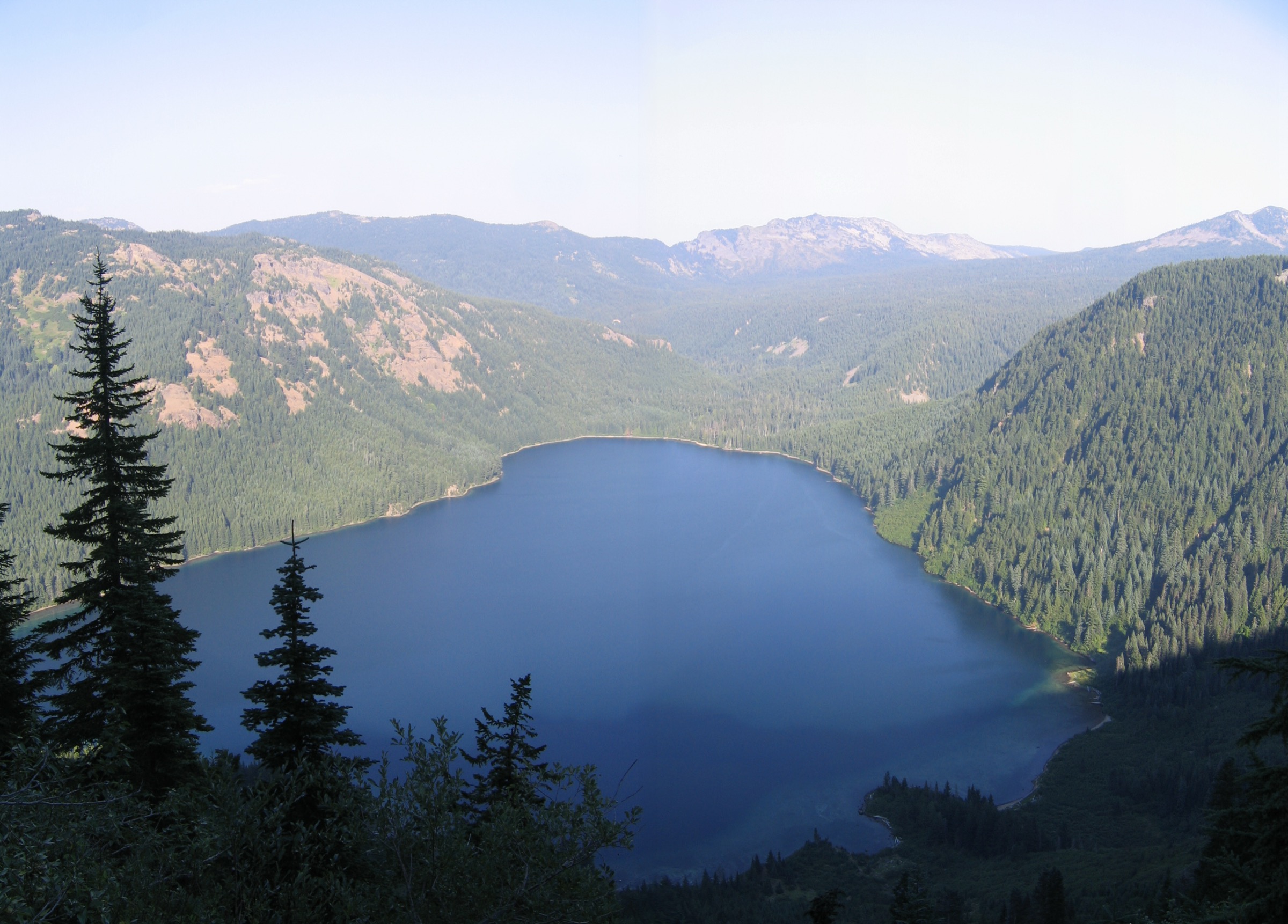
From the trailhead on Forest Road 48 the Lily Basin Trail (#86) passes the stock-trail junction at about 800 m and then climbs gently along a timbered ridgeline through huckleberry, mountain azalea and beargrass. The grade is unusually kind — this is a traverse rather than a climb, and it gains under 600 m across more than 10 km. At about 6.5 km the trail rounds the west face of Johnson Peak and the view opens abruptly: Packwood Lake directly below, with Mount Rainier filling the horizon beyond it. This view stays with the walker for the rest of the outing. At around 8 km the trail crosses a substantial washout that warrants care. One kilometre before the lake the Angry Mountain Trail (#90) comes in, and shortly after a spur drops right into the basin holding Heart Lake. Beyond the lake, Trail #86 continues south-east towards Hawkeye Point — where USFS warns “the trail becomes rough with steep snowbanks that can last late into the summer” — and eventually connects to Goat Lake and Snowgrass.
Why it is essential
Lily Basin is the connoisseur’s walk in the Goat Rocks: long, quiet, gently graded, and with a Rainier-over-Packwood-Lake view that is arguably the finest in the wilderness. Where Snowgrass draws a hundred people on a summer weekday, this trail draws a handful. It is also the natural counterweight to the crowded southern approaches, and it earns its place on those grounds alone.
Equipment
- Standard to mountain hiking boots
- Warm layer and shell — the ridgeline is exposed once above the trees
- Sun protection
- 3 L water. USFS lists “Water available: No” for Trail #86
- Trekking poles for the washout crossing
- Insect repellent
Hazards and notes
- ⚠️ The access road is the problem with this hike. The USFS page for FR 48 carries a current-conditions note dated 29 December 2025 reporting “road damage about 1.5 miles up,” and the page has not been refreshed for the 2026 season. Passability in summer 2026 is unknown. Telephone Cowlitz Valley Ranger District, (360) 497-1100, before committing to the drive
- FR 48 narrows to a single brushy lane in its final stretch, and parking at the trailhead is roadside for around a dozen vehicles
- A substantial trail washout is reported at roughly 8 km; cross with care
- Deadfall is a recurring problem on this trail; a report from 2 July 2026 described a fair number of downed trees
- No water on the route
- WTA reports no pass is required at this trailhead, but USFS does not state the position either way. A free self-issued wilderness permit is required regardless
- Forest-wide fire restrictions apply: no campfires, no solid-fuel stoves
GPX / route file
| Source | URL | Format | Notes |
|---|---|---|---|
| USFS — Lily Basin Trail #86 | fs.usda.gov | Official page | No GPX published; no mileage given |
| USFS — Forest Road 48 | fs.usda.gov | Official page | Carries the December 2025 road-damage note |
| USFS National Forest System Trails (FSGeodata) | data.fs.usda.gov | File geodatabase / shapefile | Filter TRAIL_NO = 86, 90 |
| Washington Trails Association — Heart Lake via Lily Basin | wta.org | Trail database | The only published source for distance and gain |
Sources
- USFS — Lily Basin Trail #86
- USFS — Forest Road 48
- Washington Trails Association — Heart Lake via Lily Basin
5. Bear Creek Mountain
Snapshot
Itinerary
The Section 3 Lake trailhead sits at 1,829 m, and that single fact defines the walk: the summit is only 400 m above the car. From the trailhead the Bear Creek Mountain Trail (#1130) runs through alpine forest, with the Tieton Meadows Trail branching off within the first kilometre. At about 1.3 km the meadows open — buttercup and paintbrush early in the season — and at roughly 3.2 km the trail crosses Bear Creek in a broad wildflower meadow of monkeyflower, daisy and lupine. The junction with the Conrad Meadows trail comes at about 4.2 km. The final 650 m is the only real work of the day: a steep pull over rocky talus past a set of alpine tarns, gaining more than 300 m to the summit at 2,236 m. The view from the top takes in Old Snowy, Gilbert Peak, Tieton Peak, the McCall Glacier, Mount Adams and Mount Rainier together.
Why it is essential
Bear Creek Mountain is the most efficient summit in the Goat Rocks and the best introduction to the wilderness for anyone unwilling to commit to the 25 km day that Old Snowy demands. It gives a genuine 2,236 m Cascade summit, a full view of the range’s crest and both of its flanking volcanoes, for less than 400 m of ascent — an arrangement that exists only because Forest Road 1204 climbs to 1,829 m. It also represents the drier, more open east side of the wilderness, which the four western hikes do not.
Equipment
- Mountain hiking boots
- Microspikes or other traction, and trekking poles. WTA’s standing alert notes that snow persists on the north face of Bear Creek Mountain, which is where the route goes
- Warm layer and windproof shell — the summit is high and exposed
- Sun protection
- 2.5–3 L water; treat anything taken from Bear Creek
- Insect repellent
Hazards and notes
- ⚠️ The road is rough. USFS states that “the road is rough” and “a high-clearance vehicle is recommended” for FR 1204. WTA describes the last kilometre as brutal, with deep ruts and a steep drop-off. In a passenger car, park at a pullout and walk the final stretch
- ⚠️ A Military Operations Emergency Closure was executed on the Naches Ranger District on 23 June 2026, covering the ridge south of Rimrock Lake. Forest Roads 1200, 1000, 1204 and 1205 remain explicitly open to public access, so Bear Creek Mountain is reachable — but several spur roads (1200-711, 1200-718, 1200-719, 1241 and its spurs, 1204-727, 1204-734, 1204-735) are closed, as are Peninsula Campground and the Rimrock boat launch. Penalties run to $5,000. Navigate carefully and do not improvise a route
- FR 1200 additionally has a Bureau of Reclamation project closure between FR 1203 and FR 1000, so through travel is not possible — approach from the correct end
- Snow persists on the north face into the season; traction is genuinely needed
- USFS does not recommend this trail for horses — too steep, unstable tread and late snow
- No fee at the Section 3 Lake trailhead. A free self-issued wilderness permit is required
- Okanogan-Wenatchee Stage 1 fire restrictions (19 June – 15 October 2026): campfires are permitted in the wilderness only below 1,524 m, so no campfire is lawful anywhere on this route
- Yellowjackets have been reported near the trailhead in late summer
GPX / route file
| Source | URL | Format | Notes |
|---|---|---|---|
| USFS — Section 3 Lake Trailhead | fs.usda.gov | Official page | The best current official source — the new trail page for #1130 returns a 404. Source of the 1,829 m trailhead elevation |
| USFS — Okanogan-Wenatchee road and closure conditions | fs.usda.gov | Official page | Current road status; check before travel |
| USFS National Forest System Trails (FSGeodata) | data.fs.usda.gov | File geodatabase / shapefile | Filter TRAIL_NO = 1130 |
| Washington Trails Association — Bear Creek Mountain | wta.org | Trail database | The only published source for distance and gain; carries the standing north-face snow alert |
Sources
- USFS — Section 3 Lake Trailhead
- USFS — Military recovery operations area closure, Naches Ranger District
- USFS — Goat Rocks Wilderness (Okanogan-Wenatchee)
- Washington Trails Association — Bear Creek Mountain
Missing data / follow-up work
- 🚩 The Snowgrass Trail #96 access restriction is the single unresolved question in this entry. The official USFS page, last updated 2 July 2026, carries a Restrictions field reading “No hiker Access after June 9th until further notice.” Nothing corroborates it: there is no forest order, no alert, the trailhead pages show “Site Open,” the sibling trail pages are unrestricted, and a WTA trip report was filed from Snowgrass Flat on 2 July 2026. The same page’s Current Conditions field is dated September 2025, which is after the stated cut-off — strong evidence the restriction line is stale. It could not be resolved from published sources. Telephone Cowlitz Valley Ranger District on (360) 497-1100 (open Monday, Wednesday, Friday, 09:00–16:00). Hikes 1 and 2 both depend on this trail.
- 🚩 Forest Road 48, the access to Lily Basin and Heart Lake, has an unresolved damage report. USFS recorded “road damage about 1.5 miles up” on 29 December 2025 and has not updated the page since. Summer 2026 passability is unknown.
- No official mileage exists for any of these trails. USFS publishes route descriptions but almost never distance or gain. Every figure in this entry comes from WTA or AllTrails, which frequently disagree — the Snowgrass–Goat Lake loop is given as 610 m of gain by WTA and 825 m by AllTrails; Old Snowy is 24.9 km per AllTrails and 27.4 km per WTA. Figures are given as ranges rather than averaged.
- Walking times for Nannie Ridge, Heart Lake and Bear Creek Mountain are estimates. No source publishes them.
- Trailhead elevations for Berry Patch and Lily Basin are unpublished by USFS and WTA alike. Snowgrass (1,433 m), Walupt Lake (1,219 m) and Section 3 Lake (1,829 m) are sourced.
- The Knife Edge’s dimensions are unverified. The commonly cited figures — about 2.4 km of exposed crest at roughly 2,130 m — come from a third-party blog, not from USFS, and should not be printed as fact.
- Gilbert Peak’s elevation is given as both 8,201 ft and 8,184 ft on the same USFS page. The higher figure appears in the prose and matches the named summit; the lower one sits in a data field. This entry uses 2,500 m (8,201 ft).
- Fire history is partly unresolved. The 2022 Goat Rocks Fire (about 6,196 acres, lightning-caused, inside the wilderness) closed several northern trails at the time, but those closures have been lifted and no fire closure is currently in effect anywhere in the wilderness. The 2024 Retreat Fire burned 45,601 acres near Rimrock Lake, closing US-12 for several weeks; whether it entered the wilderness or damaged any trail could not be determined from InciWeb or either forest. The Okanogan-Wenatchee refers to road damage from unspecified “2025 wildfires” without naming them.
- No licence-compatible photographs were found for Nannie Ridge, Sheep Lake, Heart Lake, Lily Basin or Bear Creek Mountain. Wikimedia Commons coverage of the Goat Rocks is thin and concentrated on the Snowgrass–Goat Lake–Old Snowy corridor. A future pass should check Flickr Creative Commons and the USFS Pacific Northwest Region photostream.
- No official GPX or KML exists for any Goat Rocks trail. The Forest Service publishes bulk vector data through the FSGeodata Clearinghouse (National Forest System Trails, refreshed 28 June 2026, as file geodatabase or shapefile), which must be filtered by
TRAIL_NOand converted. The USFS data licence could not be located — US federal works are generally public domain, but this is an assumption rather than a verified statement. By contrast, the PCTA publishes Pacific Crest Trail data under CC BY 4.0, explicitly permitting commercial reuse and adaptation with attribution; this is the best-licensed route data available in the region and covers the Old Snowy and Knife Edge section. - OpenStreetMap coverage could not be confirmed. Every Overpass endpoint was unreachable during research, so trail presence and
reftagging for #96, #95, #86, #98, #90 and #1130 remain untested. - Strong alternates, verified but not selected: Cispus Basin and Cispus Pass (31.5 km, 914 m, high point 1,951 m); Angry Mountain (27.0 km, 1,039 m — USFS notes “no camping or water access”); Shoe Lake (25.3 km, 762 m — note that camping and campfires are prohibited in the Shoe Lake basin); Round Mountain (8.4 km, 518 m); Glacier Lake (6.4 km, 244 m, the easy option).
Further reading
| Source | URL |
|---|---|
| USFS — Goat Rocks Wilderness (Gifford Pinchot) | fs.usda.gov |
| USFS — Goat Rocks Wilderness (Okanogan-Wenatchee) | fs.usda.gov |
| USFS — Wilderness regulations (Gifford Pinchot) | fs.usda.gov |
| USFS — Gifford Pinchot alerts and closures | fs.usda.gov |
| USFS — Gifford Pinchot fire restrictions | fs.usda.gov |
| USFS — Okanogan-Wenatchee alerts | fs.usda.gov |
| USFS — Forest Road 21 (main western access) | fs.usda.gov |
| Washington Trails Association — Goat Rocks Wilderness | wta.org |
| Pacific Crest Trail Association — PCT data (CC BY 4.0) | pcta.org |
| USFS FSGeodata Clearinghouse — trail geodata | data.fs.usda.gov |
| Air quality and smoke (summer) | fire.airnow.gov |