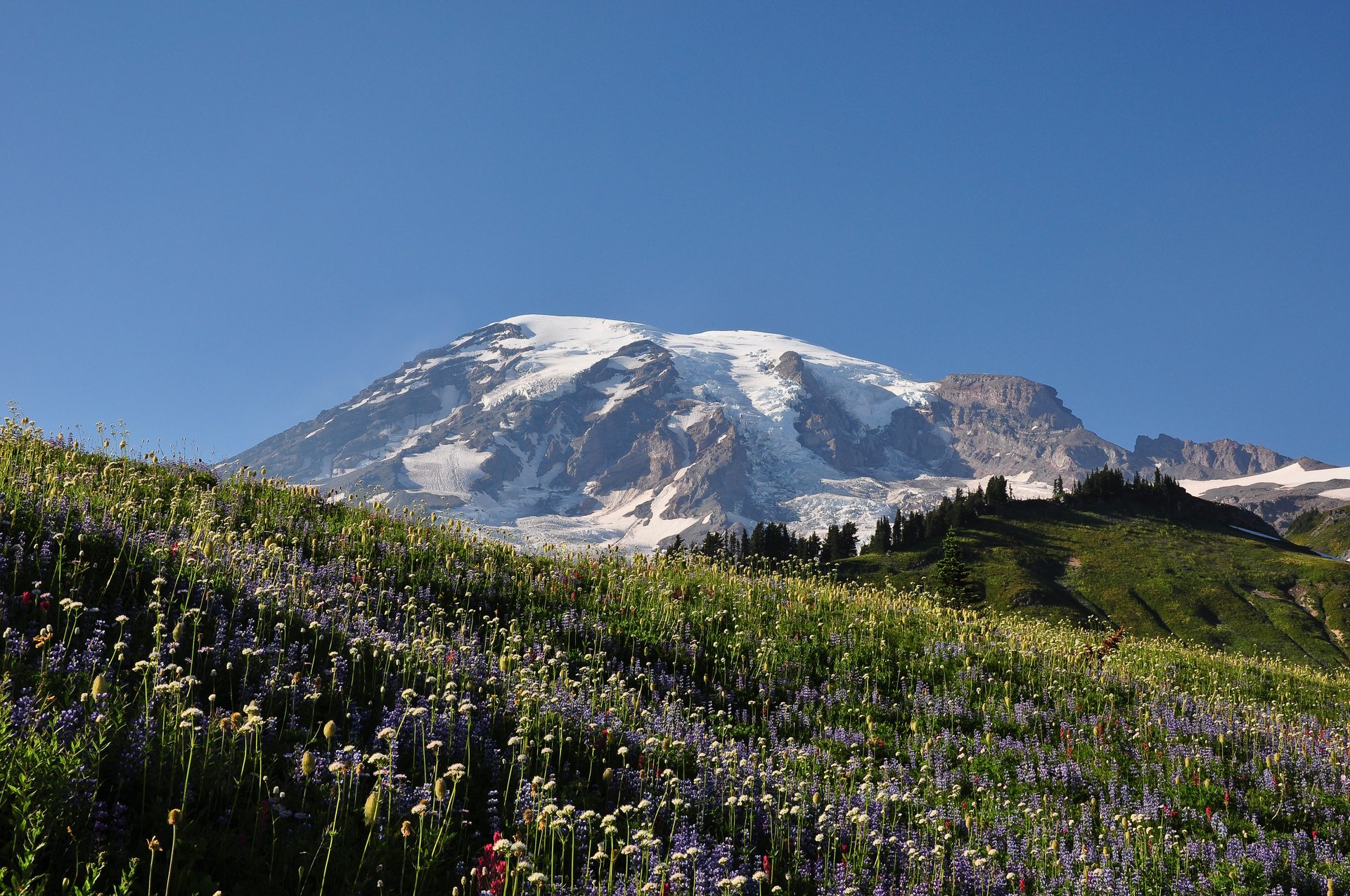
Regional overview
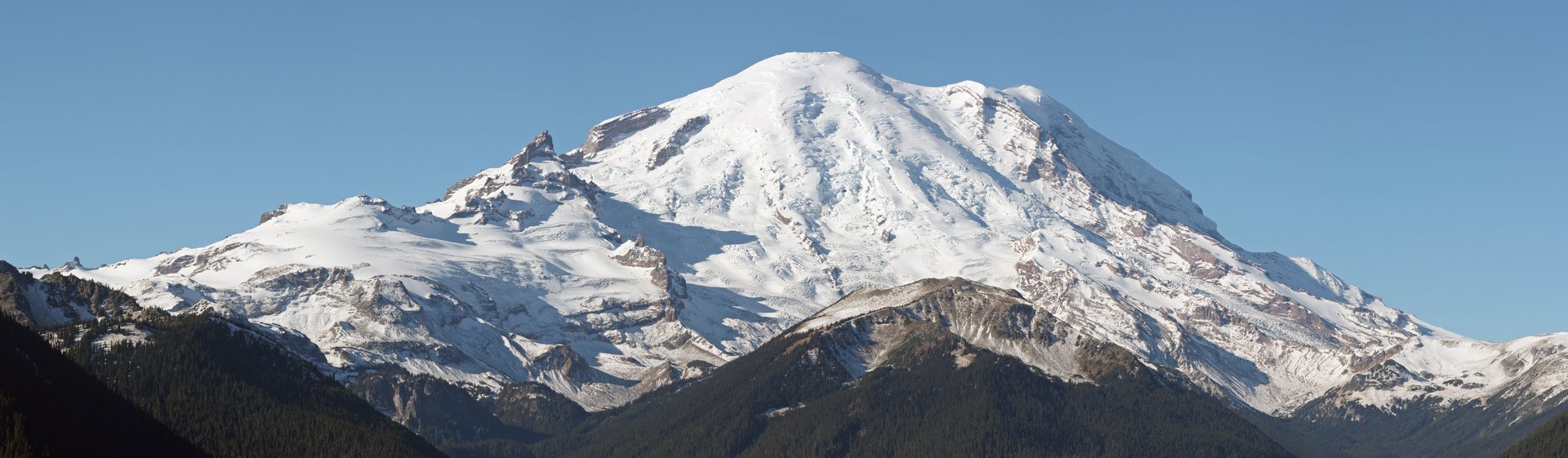
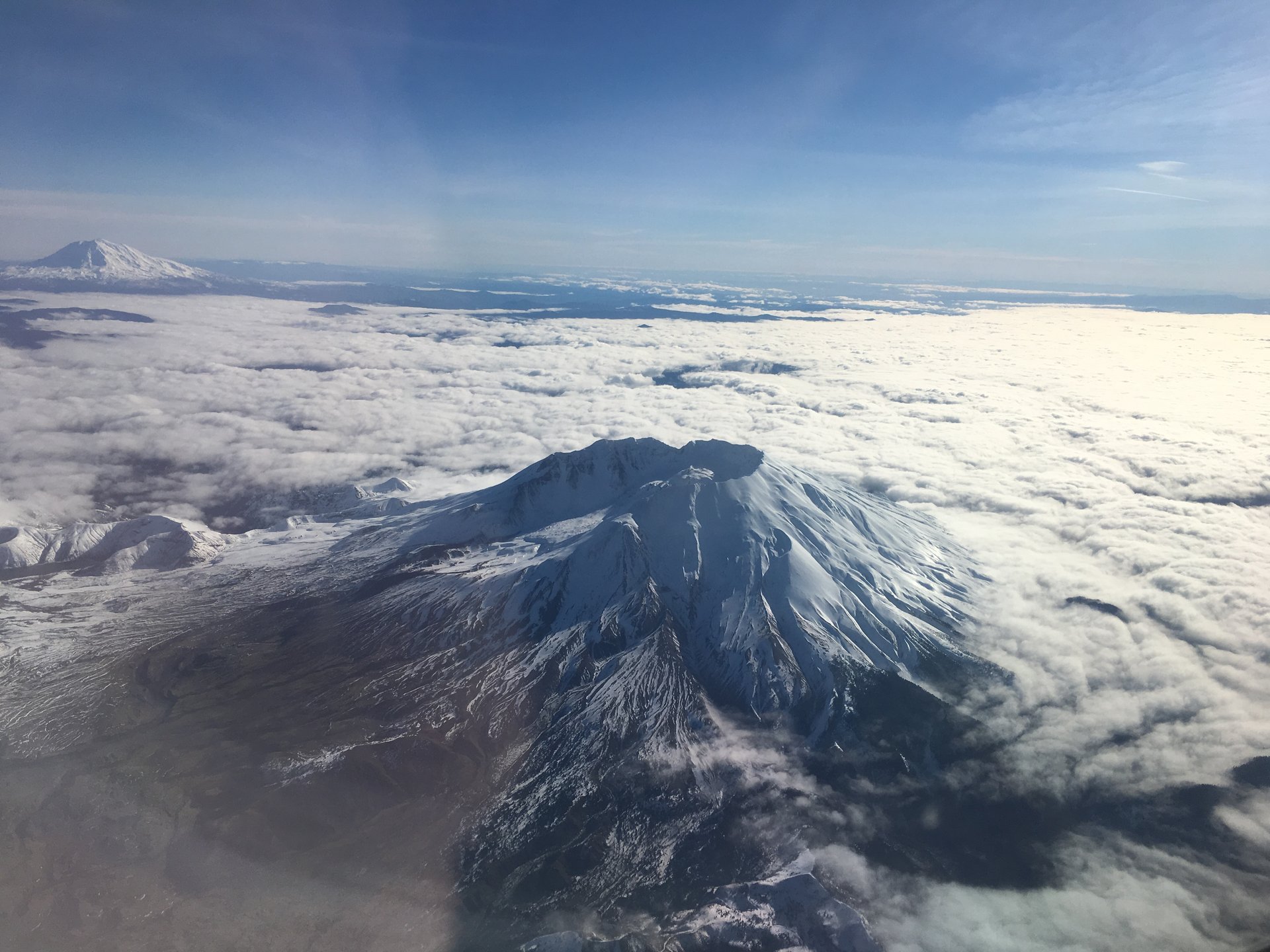
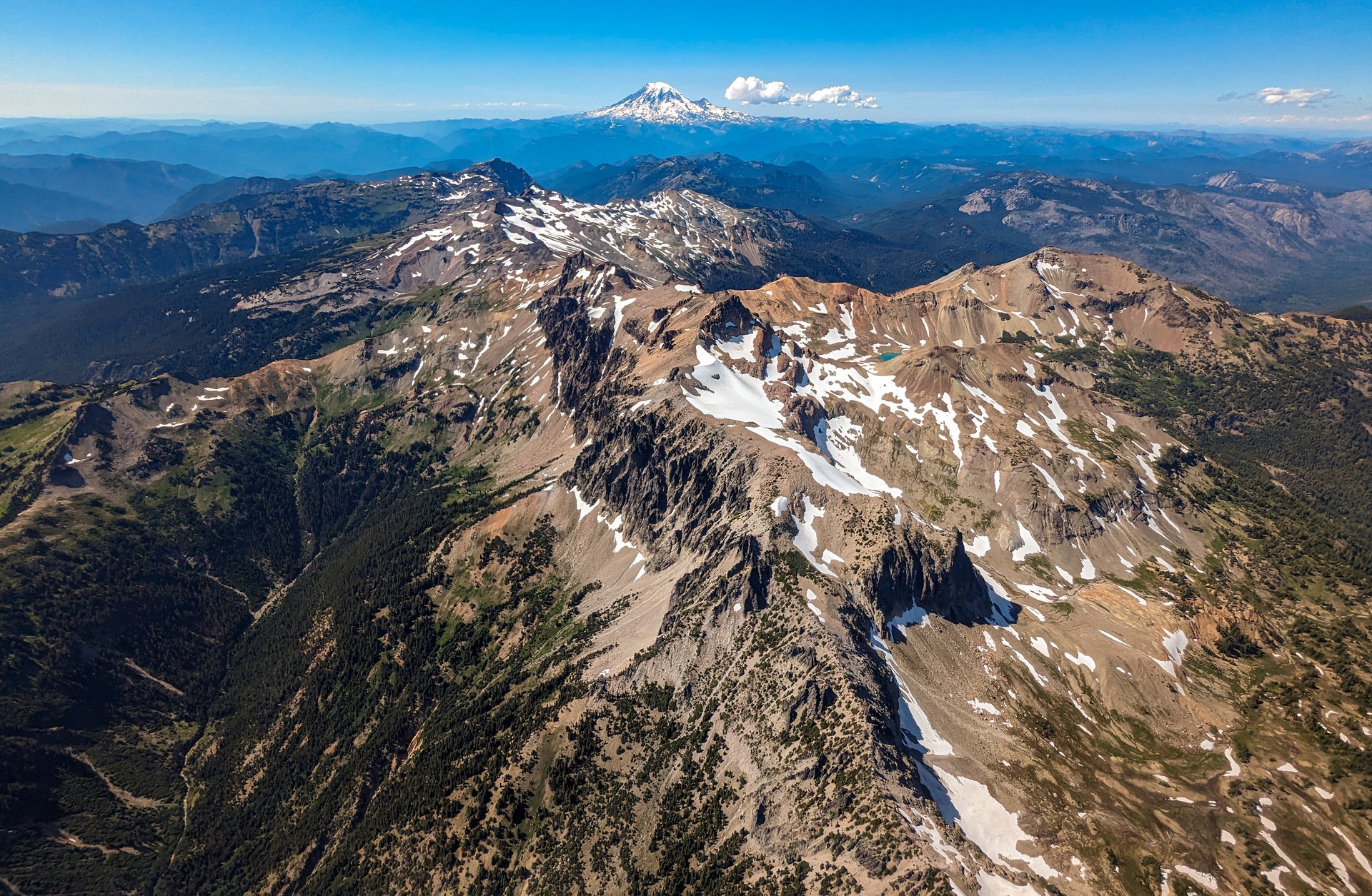
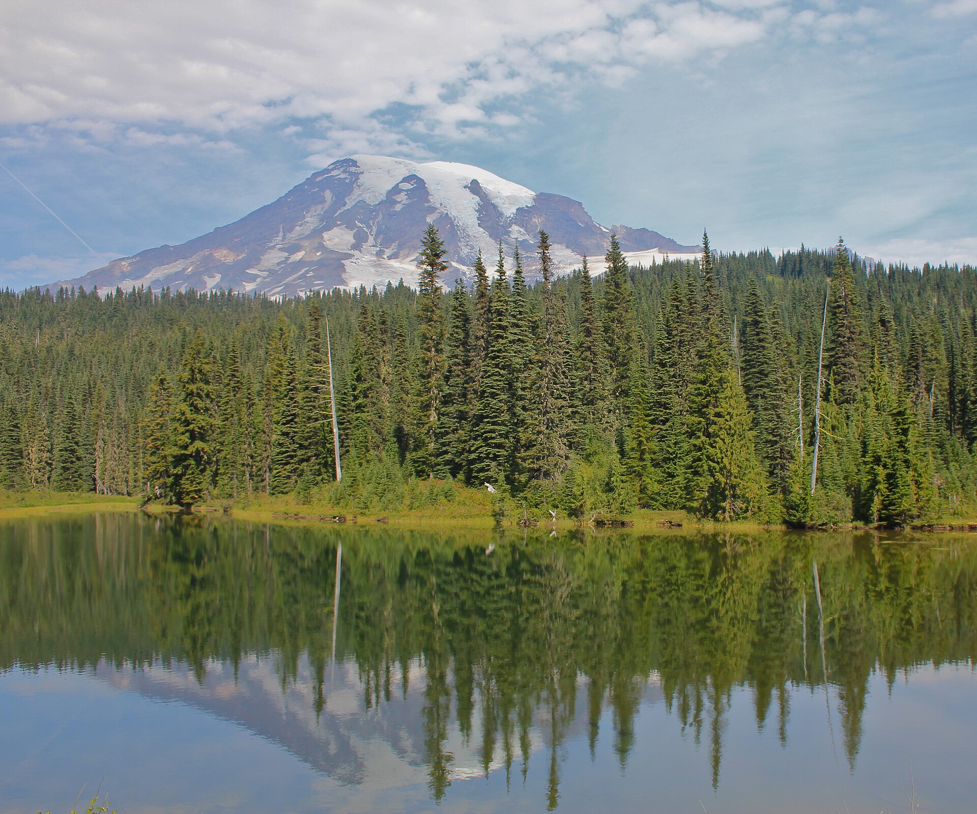
Mount Rainier is the great outlier of the Cascades: an andesite stratovolcano standing 4,392 m (14,410 ft) barely 90 km from the Puget Sound lowlands, rising more than 2,700 m above everything around it. It carries 28 major glaciers across roughly 78 square kilometres of ice — the largest glacier system on any single peak in the contiguous United States, of which the Emmons Glacier is the largest by area. The mountain last erupted about a thousand years ago, is rated a “Very High” threat volcano by the US Geological Survey, and its greatest hazard is not lava but lahars: volcanic mudflows that in the past have run out of these valleys as far as the Puget Sound lowlands, where towns now stand. The ice on the summit is itself in retreat — a 2024 GPS survey found that Columbia Crest, the historic summit, has lost nearly seven metres of ice and is no longer the mountain’s highest point, which now falls to the seasonally bare rock of the south-west rim.
The walking divides between two great subalpine terraces on opposite sides of the mountain. Paradise, at 1,646 m (5,400 ft) on the south side, is the classic: a hanging meadow of lupine, paintbrush and avalanche lily that John Muir called the most extravagantly beautiful of all the alpine gardens he had seen, and which takes its name from a Longmire family exclamation on first arriving. It is also one of the snowiest places on earth. Paradise recorded 1,122 inches — 28.5 m — of snow in the winter of 1971–72, which was a world record at the time, though it has since been beaten by Mount Baker; the average season still brings 639 inches. Sunrise, at 1,950 m (6,400 ft) on the north-east side, is the highest point reachable by car in the park, drier and more austere, its ridges carrying genuine arctic tundra directly above the Emmons Glacier. Around them are Longmire, Ohanapecosh, White River and the Chinook Pass corridor. The 150 km Wonderland Trail encircles the whole mountain, and two of the walks below borrow a day of it.
Three practical things shape a 2026 visit, and two of them are changes. First, there is no timed-entry reservation system this year — the park announced in February that it would not implement timed entry for any portion of the park in 2026, reversing the 2024 and 2025 arrangements. Entry is first-come, first-served, and the park’s advice is to arrive before 07:00 or after 16:00, and to come midweek. This makes parking the binding constraint: the lots at Paradise and Sunrise fill by late morning at weekends, and waits of over an hour to enter Sunrise were being signed in early July. Second, and more seriously, the entire north-west quadrant of the park is inaccessible. The 104-year-old Fairfax Bridge on SR 165 was permanently closed in April 2025 after inspectors found a support column buckling, and there is now no public road access to Mowich Lake or the Carbon River. This removes Tolmie Peak, Eunice Lake and Spray Park from the day-hiking menu, probably for years — the state is still in environmental review, and one of the two options on the table is to remove the bridge and leave SR 165 closed permanently. Third, the Grove of the Patriarchs remains closed, its suspension bridge damaged in the 2021 floods, with replacement construction not due to begin until summer 2027.
The hazards here are specific and worth taking seriously. Lingering snow on high traverses into July and August is the defining seasonal danger — not the depth of it, but its position, lying across steep slopes above runouts, softening and sliding in the afternoon, and bridging meltwater streams that are cutting away underneath. The Park Service’s own advice is not to blindly follow an existing boot track, because it may cross a thin snow bridge. There is a permanent icy slope on the standard Skyline Trail above Panorama Point that never melts, and the Park Service routes walkers onto the High Skyline Trail to avoid it. The Muir Snowfield, the deceptively casual-looking approach to Camp Muir above Paradise, is a notorious accident site where whiteouts, hypothermia and crevasse falls kill people who set out for what they thought was a walk; the park has said plainly that rescue is not guaranteed. Weather changes fast, the meadows are fragile and slow to recover from a single footstep off the path, and dogs are prohibited on every trail in the park — the sole exception being the Pacific Crest Trail along the eastern boundary, which matters for one hike below. There is no public transport to the park. A car is effectively mandatory.
Selection rationale
The five walks below cover four road corridors and five distinct characters, which in 2026 is as broad a spread as the park allows. The Skyline Trail Loop is the archetypal Rainier day: straight up out of the Paradise meadows to a glacier-level viewpoint at Panorama Point, and the single most-walked mountain trail in Washington. Burroughs Mountain is its opposite in character — a walk out along a bare tundra ridge until the Emmons Glacier headwall fills the whole view, on ground that feels closer to the Arctic than to a temperate rainforest an hour’s drive below. The Mount Fremont Lookout shares the Sunrise trailhead but not the experience: a shorter, gentler walk to a 1934 fire lookout perched above Grand Park, and the historic route of the set. Summerland and Panhandle Gap is the high pass — a day of the Wonderland Trail, climbing through old-growth forest to a meadow basin and then, for properly equipped parties, on to the highest point the Wonderland reaches. And the Naches Peak Loop is the short one, a wildflower circuit on the Pacific Crest Trail with the classic reflection of the mountain in Tipsoo Lake.
Keeping two hikes at Sunrise is a deliberate choice rather than an oversight. They fill different slots — tundra ridge and historic lookout — and neither substitutes for the other; more to the point, the Fairfax Bridge closure has removed the north-west of the park entirely, and that geographic loss cannot be bought back by thinning the east. Sunrise is a long drive, and a walker who makes it there deserves two good options.
Tolmie Peak and Eunice Lake would ordinarily be here — the reflection of the mountain in Eunice Lake below the Tolmie fire lookout is one of the park’s signature images. It is omitted solely because there is no legal road access to the trailhead in 2026. Spray Park is out for the same reason. Bench and Snow Lakes, Comet Falls and Pinnacle Peak Saddle are all open and are noted as alternates in the follow-up section.
Summary table
| # | Hike | Country | Route type | Distance | Gain | Max elevation | Difficulty |
|---|---|---|---|---|---|---|---|
| 1 | Skyline Trail Loop (Paradise) | USA | Loop | 8.7–9.3 km (5.4–5.8 mi) | 442–584 m | 2,073 m | Strenuous |
| 2 | Burroughs Mountain (Sunrise) | USA | Out-and-back | 7.6–14.5 km (4.7–9.0 mi) | 274–884 m | 2,386 m | Moderate–strenuous |
| 3 | Mount Fremont Lookout (Sunrise) | USA | Out-and-back | 9.0 km (5.6 mi) | 244–369 m | 2,189 m | Moderate |
| 4 | Summerland and Panhandle Gap | USA | Out-and-back | 13.5–19.3 km (8.4–12.0 mi) | 640–899 m | 2,058–2,073 m | Strenuous |
| 5 | Naches Peak Loop (Chinook Pass) | USA | Loop | 5.1–6.0 km (3.2–3.75 mi) | 152–248 m | 1,783 m | Easy–moderate |
Distance and elevation figures differ between the National Park Service and the Washington Trails Association, sometimes substantially, and in two cases the Park Service’s own webpage and its printed trail map disagree with each other. Ranges are given where the sources genuinely conflict, and each discrepancy is explained in the snapshot below.
1. Skyline Trail Loop
Snapshot
Itinerary
The loop is walked clockwise, climbing the western arm and descending the eastern one, which puts the mountain in front of the walker on the way up and the Tatoosh Range in front on the way down.
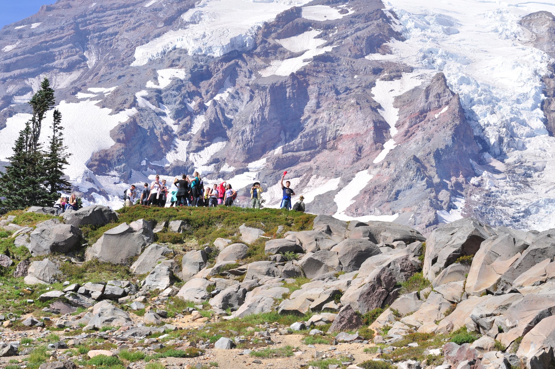
From the Jackson Visitor Center the Skyline Trail climbs the paved steps above the upper car park and forks away from the Alta Vista Trail after about 300 m. It rises steadily through the flower meadows — this is the finest wildflower ground in the park, peaking in July and August with lupine, mountain heather, scarlet paintbrush, cascade aster and bistort — and passes the lower and upper Glacier Vista junctions, where a short spur leads to an overlook of the crevassed Nisqually Glacier. From the upper junction it is signed 0.6 miles to Panorama Point.
Above the Pebble Creek junction (from which the Camp Muir route branches away up the Muir Snowfield, and which is not this walk) the trail makes its final climb to Panorama Point at 2,073 m, about 3 km from Paradise, where a summer pit toilet stands and the view opens south across the Tatoosh Range to Mount Adams, Mount St Helens and, on clear days, Mount Hood.
Above Panorama Point the route splits, and this matters. The Park Service directs walkers onto the High Skyline Trail, in its own words, because it “avoids a dangerous icy slope that does not melt.” That slope is a permanent hazard, not a seasonal one, and the High Skyline is the sanctioned line rather than an optional variant. The High Skyline climbs to the day’s true high point around 2,181 m before rejoining the main trail.
The descent runs east across the head of the basin past Sluiskin Falls and the Stevens–Van Trump monument, then past the Paradise Glacier Trail junction — that trail is unmaintained and is not part of this route. The Golden Gate Trail offers a signed shortcut that cuts about 1.6 km from the loop, climbing steeply through the meadow; the full Skyline continues around instead. The last stretch drops past Myrtle Falls, with the classic framing of the falls below the mountain, and returns to Paradise.
Why it is essential
There is no more complete introduction to Mount Rainier that can be walked in an afternoon. The Skyline Loop starts in the flower meadows that made Paradise famous, climbs to the edge of the glacier system, delivers a full-length view of the southern volcanoes from Panorama Point, and comes back past a waterfall framed beneath the mountain. It is the most-walked mountain trail in Washington for good reason, and the crowds are the price of admission rather than an argument against going.
Equipment
- Sturdy boots — the upper trail is rocky, and snow lingers
- Trekking poles: recommended by both NPS and recent trail reports, particularly for the descent
- Microspikes or other traction for the snow-covered upper sections; useful into midsummer, and gaiters help
- Weatherproof shell and a warm layer — Panorama Point is exposed and can be far colder than the car park
- 2 L water; the visitor centre is the only supply, and any water taken on the trail must be treated
- Sun protection — the meadow and the snowfields both reflect hard
- Map and downloaded track
Hazards and notes
- The permanent icy slope above Panorama Point. Use the High Skyline Trail, as the Park Service directs. The standard line crosses a slope that does not melt out even in late summer
- Stay on the trail. The Paradise meadows are fragile, heavily visited, and recover from trampling over decades rather than seasons. This is the park’s single most important request of walkers
- Early-season hiking on this trail may be hazardous; snow on the upper traverse conceals the path
- Afternoon thunderstorms build over the exposed upper loop
- Hoary marmots are common and habituated; do not feed them
- Dogs are prohibited
- Parking at Paradise fills by late morning at weekends. There is no timed-entry reservation in 2026, but that makes early arrival more important, not less
- Toilets at Panorama Point in summer only
GPX / KML links
| Source | URL | Format | Notes |
|---|---|---|---|
| NPS — Skyline Trail | nps.gov | Official page | Route description; no downloadable GPX |
| NPS Public Trails geodata (MORA) | mapservices.nps.gov | GeoJSON / FeatureServer | Authoritative geometry for 204 Mount Rainier trails, incl. Skyline and High Skyline. Query with UNITCODE='MORA'. US federal government work |
| NPS — Paradise Area Trails map (PDF) | nps.gov | PDF map | Signed distances and junctions |
The NPS trails dataset is the best route-file source for this park. It is authoritative, it distinguishes the High Skyline from the standard Skyline, and as a US federal government work it carries no licence conditions — unlike OpenStreetMap, whose Rainier coverage is good but whose Wonderland relation is measurably incomplete and whose ODbL terms attach share-alike obligations to anything derived from it.
Sources
- NPS — Skyline Trail
- NPS — Paradise
- Washington Trails Association — Skyline Trail Loop
- NPS — Trail and backcountry camp conditions
2. Burroughs Mountain
Snapshot
Itinerary
From the north-west corner of the Sunrise car park the trail climbs about 120 m in the first kilometre to gain the Sourdough Ridge Trail, passes the Huckleberry Creek junction, and reaches the five-way junction at Frozen Lake at roughly 2.4 km. Frozen Lake is the drinking-water supply for Sunrise and is fenced off; there is no water anywhere on this walk.
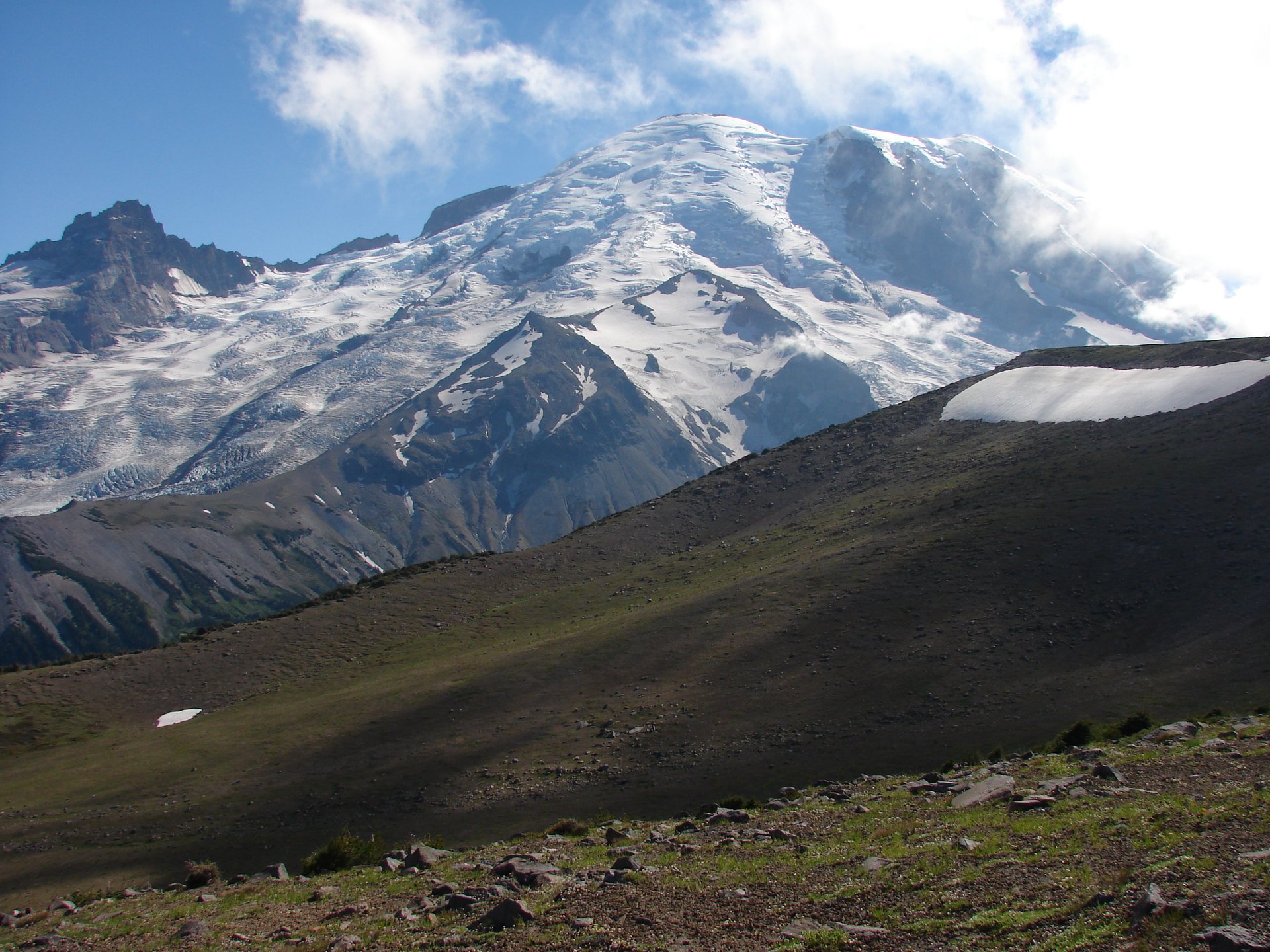
Bearing left at Frozen Lake, the Burroughs Mountain Trail climbs about 125 m in under a kilometre onto First Burroughs (2,186 m). The ground changes completely on the way up: trees vanish, soil gives way to bare volcanic gravel, and the summit plateau is genuine arctic tundra — a fell-field of lichen, moss campion and dwarf willow that exists here because the combination of altitude, wind and volcanic substrate reproduces conditions found otherwise a great deal further north. It is exceptionally fragile, has been visibly damaged by walkers straying off the path, and takes decades to recover.
A further kilometre along the broad ridge reaches Second Burroughs (2,256 m), an open flat with a masonry bench, and this is where most walkers stop, because it is where the mountain arrives. The Emmons Glacier — the largest glacier by area in the contiguous United States — fills the view from below the feet to the summit dome, with Steamboat Prow splitting it from the Winthrop Glacier and Little Tahoma standing off to the left. It is one of the great glacier viewpoints in North America, and it is reached by an easy walk.
Beyond Second Burroughs the trail drops to a saddle where a sign lists the maintained trails only. The path to Third Burroughs branches right, unsigned and unmaintained, crossing a barren pumice field before climbing 240 m to the summit at 2,386 m — an hour and a half of exposed, viewless plodding for a closer view, and a genuinely different proposition from the first two.
The return can retrace the ridge, or drop from First Burroughs on the Sunrise Rim Trail past the Glacier Overlook and Shadow Lake to Sunrise Camp and back through the Yakima Park meadows — roughly elevation-neutral and about a kilometre longer each way.
Why it is essential
Nowhere else in the contiguous United States can a walker stand on arctic tundra, on a maintained trail, at the foot of the largest glacier in the country, having driven to 1,950 m and walked for two hours. The Skyline Loop shows the flower meadows; Burroughs shows the ice. Between them they explain why Rainier is not simply a big mountain but a mountain with its own climate.
Equipment
- Sturdy boots; the ridge is loose volcanic gravel
- 3 L of water — there is none on the route. Frozen Lake is the Sunrise water supply and is closed to walkers
- Sun protection: the entire route above Sourdough Ridge is treeless, at altitude, and reflects
- Weatherproof shell and warm layer — the ridge is windswept even on hot days
- Trekking poles
- Microspikes early in the season for the snow patches between First and Second Burroughs, which cross slopes with real exposure
Hazards and notes
- Early-season snow on this trail is hazardous — the Park Service warns of steep snow-covered slopes, and its own map carries the warning “Hazardous travel on icy slopes until late in the season.” The patches between First and Second Burroughs sit above meaningful drops
- North-facing sections can hold snow all year; the approach to Third Burroughs holds it longest
- Stay on the trail. The tundra here has been severely damaged by off-trail walking
- Mountain goats are frequently seen; keep well back
- Dogs are prohibited
- No water on the route, and no shade
- The Sunrise Road opens late — typically late June or early July — and closes in late September or early October. It opened on 4 July in 2026
- Sunrise parking fills by mid-morning; waits of over an hour were signed in early July 2026
GPX / KML links
| Source | URL | Format | Notes |
|---|---|---|---|
| NPS — Burroughs Mountain | nps.gov | Official page | Route description; no GPX |
| NPS Public Trails geodata (MORA) | mapservices.nps.gov | GeoJSON / FeatureServer | Public domain; note the Third Burroughs spur is unmaintained and may not appear |
| NPS — Sunrise Area Trails map (PDF) | nps.gov | PDF map | Signed distances |
Sources
- NPS — Burroughs Mountain
- NPS — Sunrise
- Washington Trails Association — Burroughs Mountain
- The Mountaineers — Burroughs Mountain
3. Mount Fremont Lookout
Snapshot
Itinerary
The approach is shared with Burroughs Mountain: up to the Sourdough Ridge Trail, past the Huckleberry Creek junction, and out to the five-way junction at Frozen Lake at about 2.4 km. Here the Mount Fremont Trail bears right, away from the Burroughs ridge.
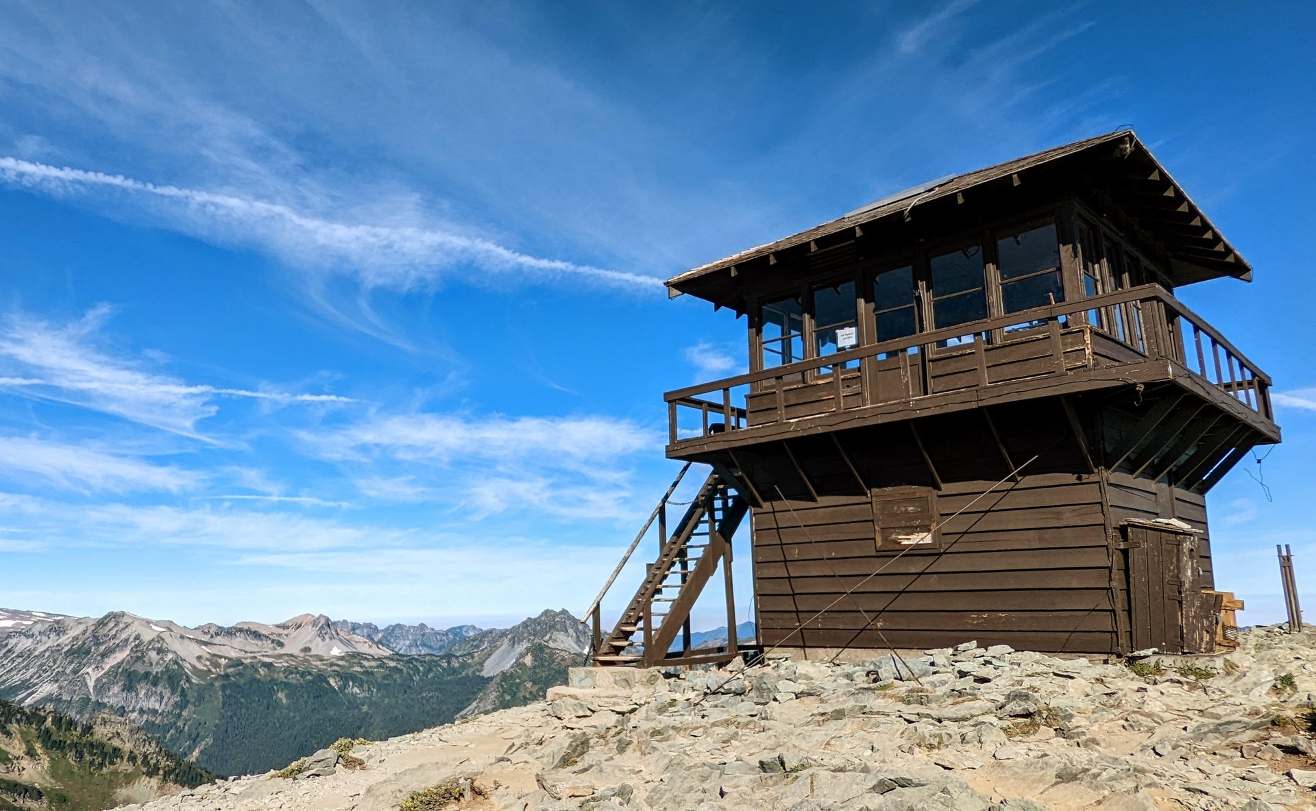
The path traverses north-west below the ridge crest, climbing gently, and at about 3.5 km bends north onto a narrower and slightly exposed section cut across a rocky slope — the one place on the walk that gives pause, and the section that holds snow longest. It crosses the head of Loch Creek and climbs the final rise to the lookout at 2,189 m, perched on a rocky spur below the true summit.
The lookout is a two-storey frame cabin built in 1934, one of a handful surviving in the park, and it is still standing because it was built to see: the ground drops away north into Grand Park, an improbable flat expanse of subalpine meadow, with Skyscraper Mountain and Berkeley Park below and Rainier itself filling the south. The cabin is locked, but the stairs are open and walkers can stand on the catwalk. Mountain goats are often visible on the slopes below, and black bears are seen in the meadows.
Return by the same route.
Why it is essential
This is the historic walk of the region, and the only surviving fire lookout in the park that a walker can reach on an easy half-day. The lookout network that once watched over these forests has almost entirely gone, and Mount Fremont is where its logic is still legible — a small wooden cabin placed exactly where one person could see a hundred kilometres of country. It also happens to be the gentlest way to a 2,200 m viewpoint in the park, which makes it the natural companion to a Burroughs day rather than a competitor with it.
Equipment
- Hiking boots or sturdy trail shoes
- 2–3 L of water — there is none on the route, and Frozen Lake is closed to hikers
- Sun protection: WTA is blunt that there is very little shade anywhere on this trail
- Weatherproof shell and warm layer
- Trekking poles
- Microspikes early in the season for the exposed traverse below the lookout
Hazards and notes
- The narrow traverse below the lookout is mildly exposed and holds snow longer than the rest of the route; it is the one section where a slip would matter
- No shade, no water
- Do not enter the lookout; the cabin is locked, and no camping is permitted at the site
- Mountain goats and black bears are regularly seen — keep your distance and do not feed anything
- Dogs are prohibited
- Sunrise parking is the practical constraint: waits of over an hour were signed in early July 2026
GPX / KML links
| Source | URL | Format | Notes |
|---|---|---|---|
| NPS — Mount Fremont Lookout | nps.gov | Official page | Route description; no GPX |
| NPS Public Trails geodata (MORA) | mapservices.nps.gov | GeoJSON / FeatureServer | Public domain; contains the Mount Fremont Trail |
| NPS — Sunrise Area Trails map (PDF) | nps.gov | PDF map | Signed distances |
Sources
- NPS — Mount Fremont Lookout
- Washington Trails Association — Mount Fremont Lookout
- The Mountaineers — Mount Fremont Lookout
4. Summerland and Panhandle Gap
Snapshot
Itinerary
The trail leaves the small lot on SR 410 and runs almost level through old-growth forest, joining the southbound Wonderland Trail after about 400 m. It climbs gently for 3 km, at one point switchbacking above a gorge where Fryingpan Creek runs through a narrow cleft some fifteen metres below the path, and the forest begins to open around 4 km with waterfalls visible on the far valley wall.
At 5.3 km the trail crosses Fryingpan Creek on a sturdy flattened log with a handrail — a crossing that has been rebuilt and was confirmed in place in June 2026 — and immediately begins to switchback up the slope beyond, gaining about 180 m through increasingly flower-filled meadow.
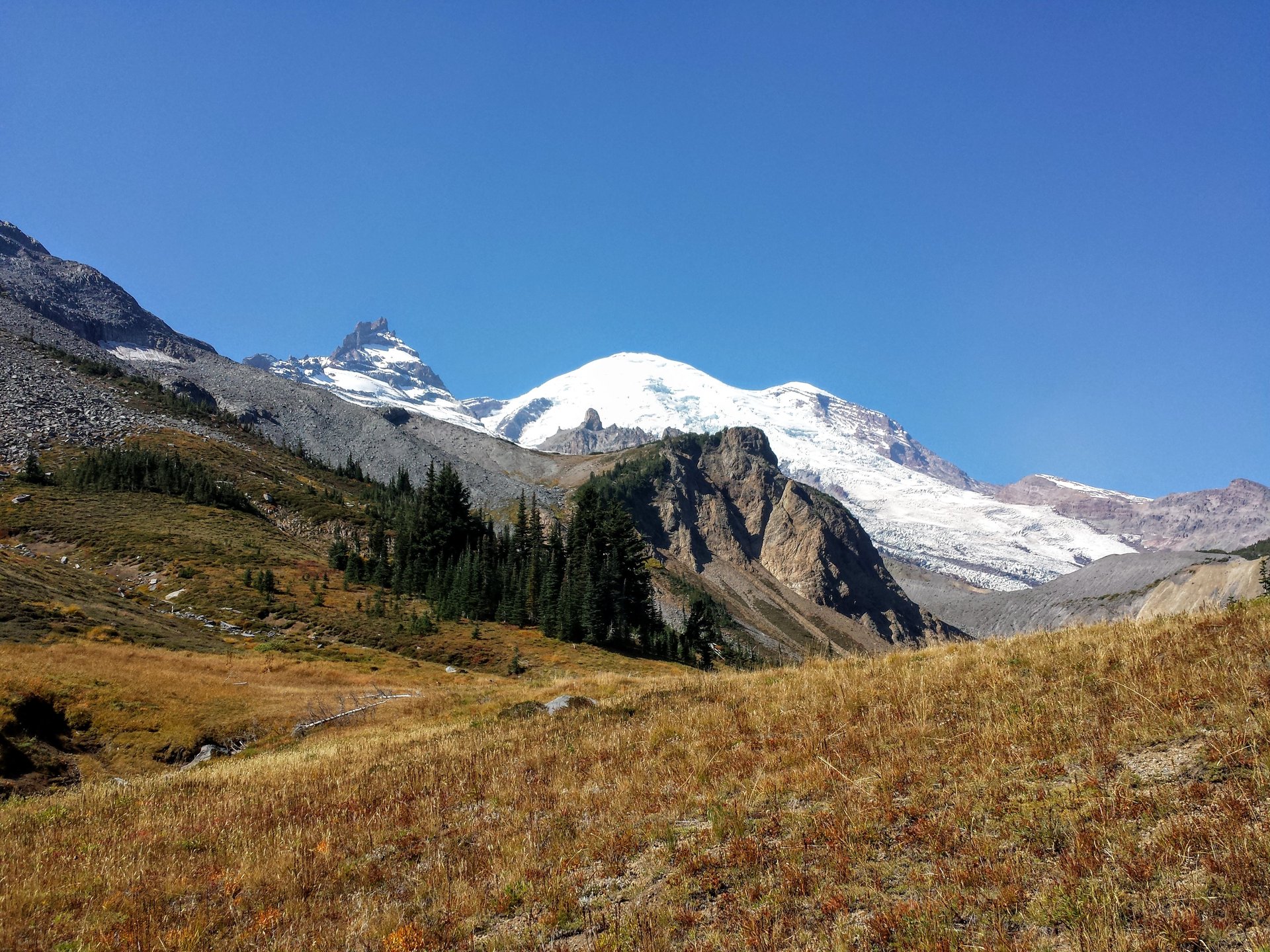
Summerland arrives at 6.8 km, at 1,807 m: a subalpine meadow basin with designated backcountry campsites, a stone group shelter, a pit toilet and a bear-bag pole, looking straight up at Little Tahoma and the summit dome. For most walkers this is the destination, and it is a complete day.
Beyond Summerland the character changes entirely. The trail climbs past the base of Meany Crest into a landscape of boulders, braided meltwater streams and shallow tarns, crosses a steep slope with a boulder runout below it — a section WTA advises inspecting carefully before committing, particularly if frozen — and climbs to Panhandle Gap at around 2,058–2,073 m, the highest point on the entire Wonderland Trail. From the notch the view runs south to the Goat Rocks and Mount Adams.
This upper section is a snow route well into summer, and often past it. It should be attempted only by parties equipped and competent for steep snow, and only after checking current conditions with the park.
Why it is essential
Summerland is the finest meadow basin on the east side of the mountain and one of the best day-sized bites of the Wonderland Trail — a complete arc from old-growth forest through a creek gorge to a hanging meadow beneath Little Tahoma. Panhandle Gap, when it is in condition, adds the highest point on the Wonderland and a view across the whole southern Cascades. The two are presented together here because they share a trail, but they are not the same undertaking, and the honest advice is that most parties should plan for Summerland and treat the Gap as a bonus dependent on conditions and equipment.
Equipment
For Summerland:
- Sturdy boots, weatherproof shell, warm layer
- 2 L water; the creek runs alongside much of the lower trail, but treat anything taken from it
- Sun protection above the tree line
- Trekking poles
Additionally, for Panhandle Gap:
- Microspikes or crampons, and an ice axe with the knowledge to use it. Parties in June 2026 reported using both
- Route-finding competence on snow, and the willingness to turn back
- Map, compass and a downloaded track — the upper basin is featureless in cloud
Hazards and notes
- Snow above Summerland is the defining hazard of this route, and current information is thin. The Park Service’s most recent observation, made on 23 June 2026, reported 60% snow cover on the section from Indian Bar to Panhandle Gap, calling for “expert snow navigation” and warning explicitly: “Be cautious of melting snow bridges. Please do not blindly follow a boot pack as it may go over thin snow bridges.” WTA’s most recent report, from 20 June 2026, describes crossing the creek above Summerland on a snow bridge that “wasn’t going to last long,” and using ice axes and spikes to reach the Gap
- There is no report of conditions on this route newer than late June 2026 — three weeks of melt are unobserved, while all four other hikes in this article have July reports. Do not assume the snow has gone, and do not assume it has stayed. Check with the park before setting out
- Snow bridges over meltwater streams are the specific killer here; they thin from underneath and give no warning
- The steep boulder traverse below the Gap is hazardous when frozen
- Black bears are common in the Summerland meadows; marmots, goats and elk are all regularly seen
- Parking is about 25 marked spaces and fills very early on fine days. Do not park over the white line — rangers ticket. Overflow exists at the Wonderland Trail connection about 1.6 km east
- No facilities at the trailhead
- Dogs are prohibited
- Backcountry permits are required to camp at Summerland; day walkers need nothing
GPX / KML links
| Source | URL | Format | Notes |
|---|---|---|---|
| NPS — Summerland | nps.gov | Official page | Covers Summerland only; no Panhandle Gap figures |
| NPS Public Trails geodata (MORA) | mapservices.nps.gov | GeoJSON / FeatureServer | Contains the Wonderland and Summerland trails; public domain |
| NPS — Trail and backcountry camp conditions | nps.gov | Conditions log | Check this before travelling |
Note that Panhandle Gap is a point on the Wonderland corridor rather than a trail in its own right, so it does not exist as a separate route relation in any dataset — treat it as a waypoint.
Sources
- NPS — Summerland
- Washington Trails Association — Summerland / Panhandle Gap
- NPS — Trail and backcountry camp conditions
- The Mountaineers — Summerland / Panhandle Gap
5. Naches Peak Loop
Snapshot
Itinerary
Walk this loop clockwise. The Park Service says so in as many words — “to get the best views of Mount Rainier, hike the loop in a clockwise direction” — and WTA, The Mountaineers and every other source agree, because anticlockwise puts the mountain behind you for the good half.
From the Tipsoo Lake picnic area the path climbs above the lake and meets the Pacific Crest Trail on SR 410 after about 500 m. Turning right, it crosses the highway on the hiker bridge over the Chinook Entrance Arch — the log gateway that marks the park boundary — and enters the William O. Douglas Wilderness, leaving the national park behind.
The PCT then traverses the eastern flank of Naches Peak across open flower slopes, passing an unnamed lakelet at about 2 km, and reaches the day’s high point at roughly 2.9 km, where a rock bench looks down more than 180 m to Dewey Lake in its basin below. (The PCT drops 1.8 km and 215 m to the lake itself, a worthwhile 3.5 km return detour for those with time.)
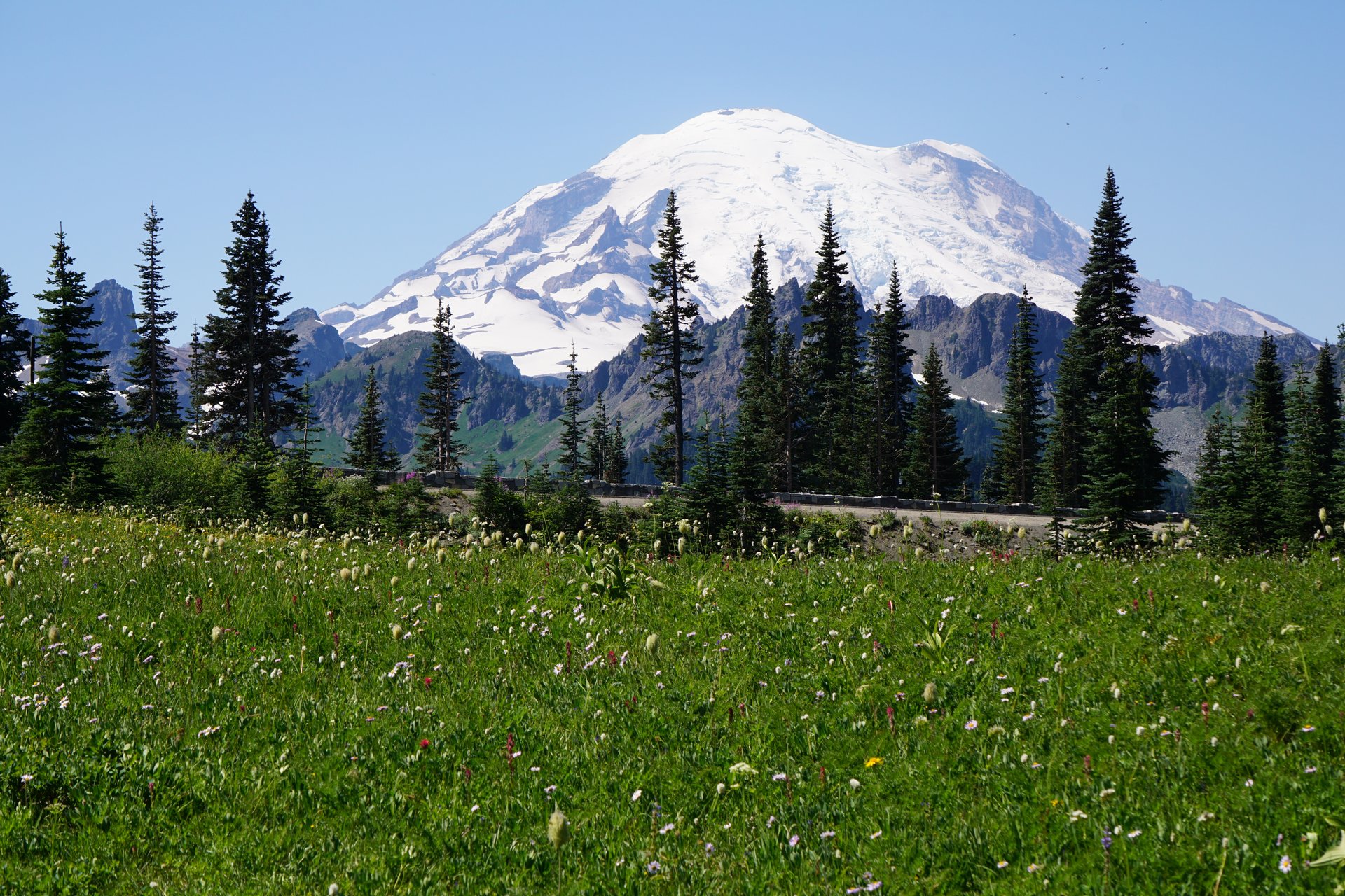
Shortly beyond, the loop turns right onto the Naches Peak Trail and re-enters Mount Rainier National Park. This is the half the walk exists for: a broad park-like meadow with a tarn in it, and Mount Rainier standing squarely behind, one of the most photographed compositions in the state. The trail crests once more, with Mount Adams and the Goat Rocks visible south down the Ohanapecosh valley, then descends to SR 410 and crosses back to Tipsoo Lake.
Why it is essential
It is the shortest walk in this article and the one that will be photographed most. In late July and early August the meadows around Naches Peak carry blue lupine, white bistort and magenta paintbrush in a density that rivals anything at Paradise, with a fraction of the crowds and none of the climbing, and the framing of the mountain above the tarn on the southern half of the loop is the classic Rainier image. It is also a genuine section of the Pacific Crest Trail, walkable in two hours.
Equipment
- Trail shoes or light boots
- Weatherproof shell and warm layer — the loop is high and open
- 1.5 L water; none available on the loop, and fishing is not permitted in Tipsoo Lake
- Sun protection; shade is patchy at best
- Insect repellent — mosquitoes can be fierce, particularly down at Dewey Lake
- Microspikes early in the season for the eastern side, which holds snow late
Hazards and notes
- The dog rule splits the loop in half, and a dog cannot legally walk the whole thing. The Park Service is explicit: pets are permitted on the Pacific Crest Trail — that is, only on the northern half of the loop, outside the park boundary — and are banned from the park half and from Tipsoo Lake itself. A dog walk here has to be an out-and-back on the PCT section
- The parking rule also differs by lot: Tipsoo Lake requires no pass; the Chinook Pass overlook lot requires a Northwest Forest Pass
- Snow lingers on the eastern side of Naches Peak and can persist into late July or August in heavy years — though in 2026 the loop had cleared by early July
- Thunderstorms build over the exposed crest on hot afternoons
- No camping is permitted on the loop within the park
- SR 410 over Chinook Pass is closed in winter, and vehicle access to Tipsoo Lake runs June to October only
GPX / KML links
| Source | URL | Format | Notes |
|---|---|---|---|
| NPS — Naches Peak Loop | nps.gov | Official page | Note NPS spells the URL “natches” |
| NPS — Naches Peak Trail map (PDF) | nps.gov | PDF map | Carries the definitive dog-rule wording |
| NPS Public Trails geodata (MORA) | mapservices.nps.gov | GeoJSON / FeatureServer | Public domain; covers the park half only — the PCT half lies in the national forest |
Sources
- NPS — Naches Peak Loop
- NPS — Naches Peak Trail map (PDF)
- Washington Trails Association — Naches Peak Loop
- The Mountaineers — Naches Peak Loop
Missing data / follow-up work
- Mowich Lake and the Carbon River are unreachable, and this needs revisiting each season. The SR 165 Fairfax Bridge was permanently closed in April 2025. WSDOT is in preliminary design and environmental review on two options — replace the bridge, or remove it and leave SR 165 closed for good — with roughly 24 months of review before final design even begins. Tolmie Peak, Eunice Lake and Spray Park should be considered lost to day-hikers for the foreseeable future, and would otherwise appear in this list.
- Conditions above Summerland are unreported since 23 June 2026. This is the single most important gap in this article. Panhandle Gap is presented as a conditions-dependent extension for that reason, and the section should be updated once a July or August observation exists.
- The Skyline Loop’s elevation gain is disputed between official sources — NPS 1,700 ft, WTA 1,450 ft — and has not been reconciled.
- NPS’s own webpage and printed trail map disagree on Burroughs Mountain distances (4.7 vs 4.8 mi to First; 7.0 vs 6.0 mi to Second) and on the Naches Peak Loop (3.5 vs 3.4 mi). Both are cited above.
- Mount Rainier’s official elevation is under revision. USGS still publishes 14,410 ft, but a 2024 GPS survey found Columbia Crest has lost 21.8 ft of ice and is no longer the highest point, with the south-west rim now measuring 14,399.6 ft. Whether the agencies will formally adopt the new figure is not yet established. The official figure is used above.
- Ohanapecosh Campground is reported closed for 2026 for rehabilitation, but this could only be confirmed from a secondary source, not from an NPS page.
- Alternates worth adding in a future pass: Bench and Snow Lakes (4 km, on Stevens Canyon Road, with a fine reflection of the mountain and far fewer people); Comet Falls and Van Trump Park (a waterfall and meadow route, with a 16-car car park and a recent washout near the falls); and Pinnacle Peak Saddle in the Tatoosh Range, which looks back at the mountain from the south. All three were open and snow-free in early July 2026.
- Public transport does not exist. No park shuttle operates and no public bus reaches any entrance. Commercial day tours from Seattle are the only carless option, and they are not a park service.
Further reading
| Source | URL |
|---|---|
| NPS — Mount Rainier National Park | nps.gov/mora |
| NPS — Mount Rainier will not require timed entry reservations in 2026 | nps.gov |
| NPS — Road status | nps.gov |
| NPS — Trail and backcountry camp conditions | nps.gov |
| NPS — Fees and passes | nps.gov |
| NPS — Pets | nps.gov |
| NPS — Glaciers of Mount Rainier | nps.gov |
| NPS — Associated tribes of Mount Rainier | nps.gov |
| NPS — Annual snowfall totals at Paradise | nps.gov |
| NPS — The Wonderland Trail | nps.gov |
| USGS — Mount Rainier | usgs.gov |
| WSDOT — SR 165 Carbon River / Fairfax Bridge | wsdot.wa.gov |
| NPS Public Trails geodata (public domain) | mapservices.nps.gov |
| Washington Trails Association | wta.org |