Regional overview
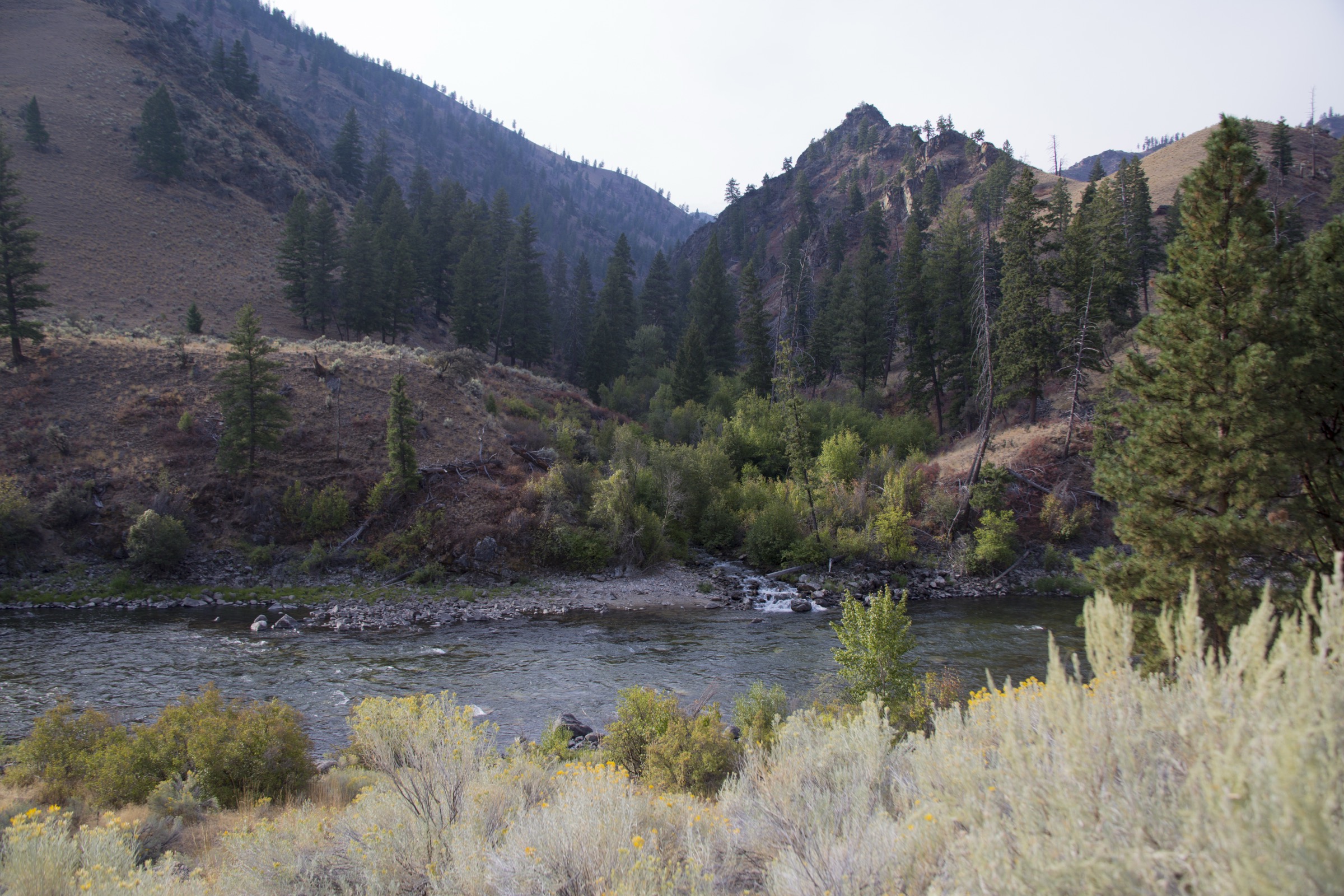
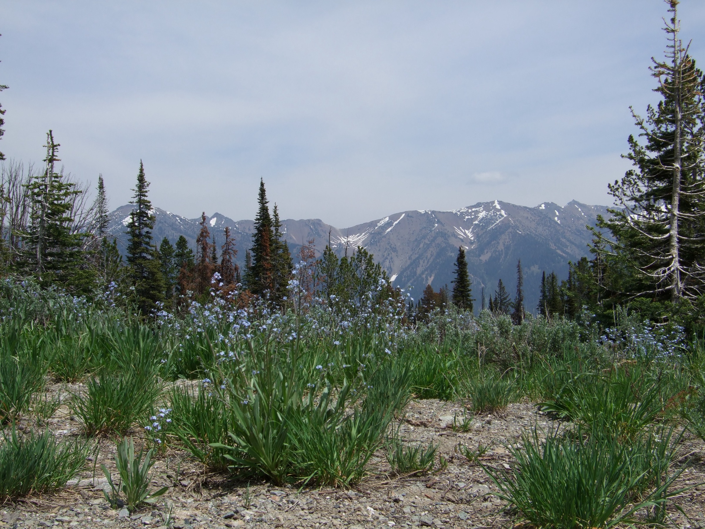
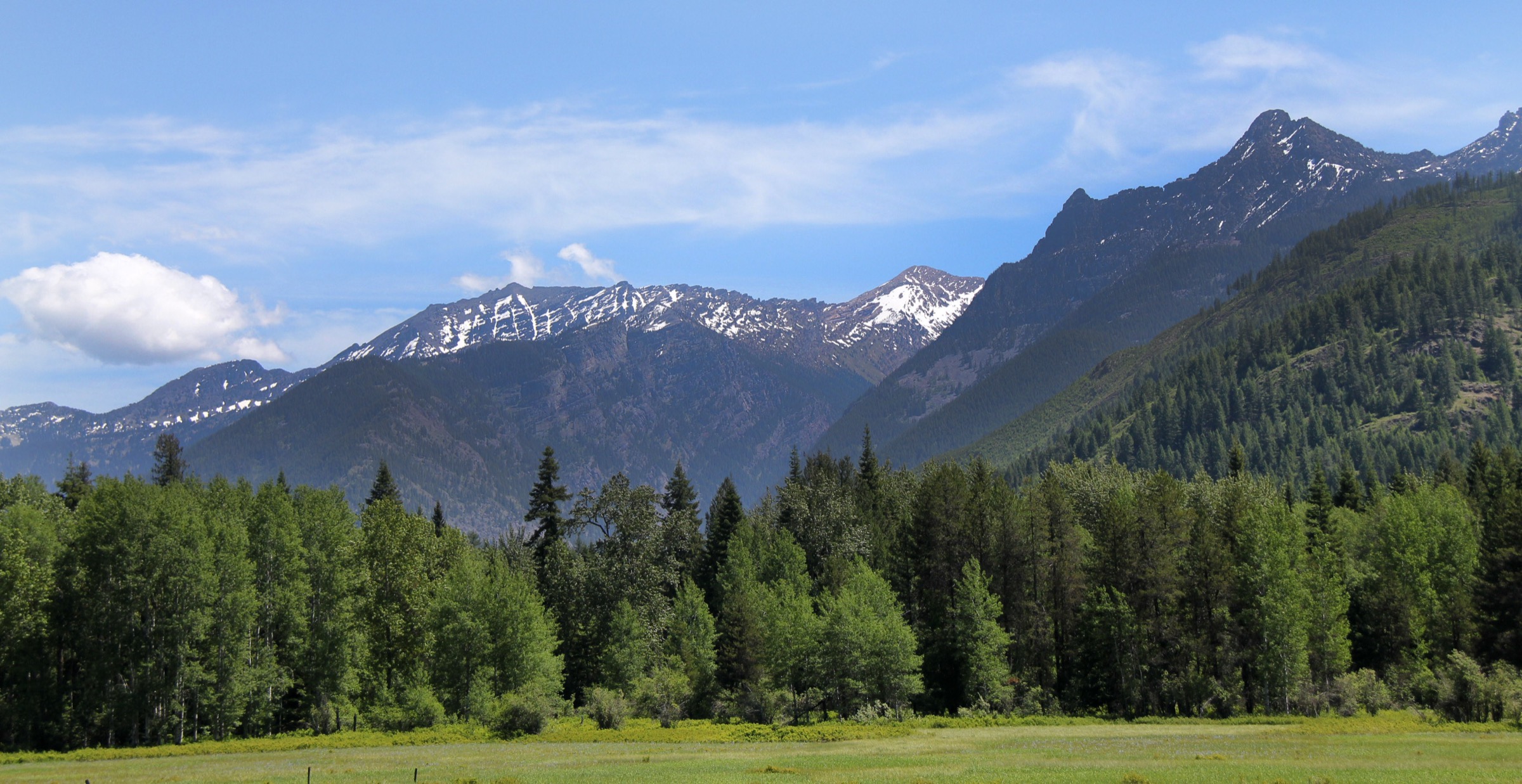
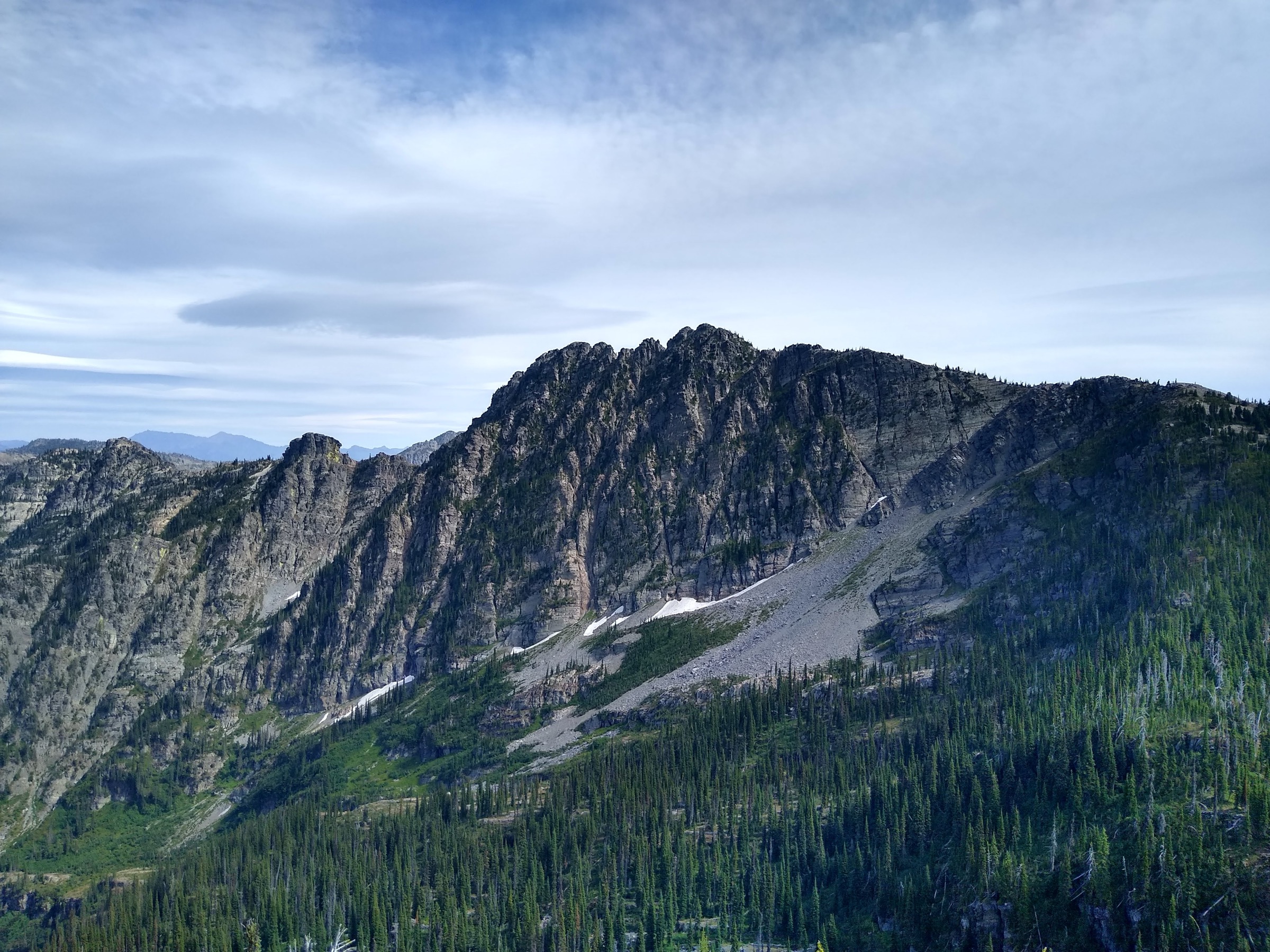
The Salmon River Mountains in west-central Idaho are Idaho Batholith country — granitic ridges, glacial lakes, lookout summits, rough forest roads, long snowy approaches, and trail systems that often double as backpacking, stock, mountain-bike or motorcycle routes. In the McCall, Lick Creek, Secesh / Warren, Goose Lake and Boulder Meadows areas, the Payette National Forest provides the most day-hike-friendly access into this terrain.
This article interprets the region as the accessible Salmon River Mountains around McCall, Lick Creek, Secesh / Warren, Goose Lake and Boulder Meadows, and leaves the deeper Frank Church–River of No Return Wilderness material to the separate Frank Church article in the same taxonomy. The practical hiking season is usually late June or July through September–October for the higher lake basins and lookouts. Expect rough and narrow mountain roads, snow patches into early summer, deadfall, stream crossings, mosquitoes around lakes, black bear habitat, sudden storms and limited or absent cell service.
Access to every trailhead in this article is by private vehicle on forest roads. No verified public transport connects any trailhead. Current-condition notes on 2026-07-13: the Payette National Forest homepage listed no featured alerts and high fire danger on both East and West zones; the Lick Creek area page (updated 9 July 2026) describes the area as “the Alps of Idaho” with many trailheads to alpine lakes. Trailhead and road status should still be checked directly before travel.
See also: Frank Church / River of No Return · Wallowa Mountains, Oregon.
Selection rationale
The five walks below cover the accessible Salmon River Mountains catalogue set: a historic Loon Lake loop with the B-23 bomber wreck, a hard high-lake traverse from Lick Creek to Hum Lake, a steep granite cirque lake at Box Lake, a fire-lookout summit at Granite Mountain, and a compact lake loop at Boulder / Louie Lakes near McCall. Routes in the Frank Church–River of No Return Wilderness are intentionally not duplicated here. Route stats were cross-checked against USFS Payette National Forest trail pages and AllTrails; no downloadable GPX was retrieved, so route-file status rests on the official USFS pages, AllTrails and OpenStreetMap.
Summary table
| # | Hike | Country | Route type | Distance | Gain | Max elevation | Difficulty |
|---|---|---|---|---|---|---|---|
| 1 | Loon Lake Loop and B-23 bomber site | USA | Loop | 19.8 km | 399 m | 1,849 m | Hard |
| 2 | Hum Lake via Twentymile and North Fork Lick Trails | USA | Out-and-back | 13.4 km | 686 m | 2,370 m | Hard |
| 3 | Box Lake Trail #110 | USA | Out-and-back | 9.8 km | 674 m | 2,303 m | Hard |
| 4 | Granite Mountain Trail #165 | USA | Out-and-back | 9.0 km | 526 m | 2,581 m | Moderate–Hard |
| 5 | Boulder Lake / Louie Lake loop | USA | Loop | 10.8 km | 484 m | 2,356 m | Moderate |
1. Loon Lake Loop and B-23 bomber site
Snapshot
Itinerary
From Loon Lake Trailhead near Chinook Campground, follow Loon Lake Trail #081 toward the lake. USFS describes the trail as smooth and gradual, passing junctions with Willow Basket Creek Trail #141 and Victor Creek Trail #117 and reaching the Loon Creek Trail #084 junction at the north end of Loon Lake at about 4.5 miles. Continue around the lake and use Loon Creek Trail #084 and Secesh River Trail #080 to complete the loop.
The historic B-23 bomber crash site is reached by a short side trip around the southwest side of Loon Lake from Loon Creek Trail #084. USFS notes that the aircraft crash-landed on frozen Loon Lake in January 1943; the remains sit near the shoreline and must not be removed or disturbed.
Why it is essential
One of the most recognised Salmon River Mountains day loops on the Payette National Forest — Secesh forest, Loon Lake, river walking and a nationally unusual WWII aviation site in a single day.
Equipment
- Mountain hiking footwear
- Offline map and GPS
- Water treatment
- Rain shell and warm layer
- Insect repellent
- Bear-aware food handling
- Headlamp
Hazards and notes
- Access road to Chinook Campground is narrow with no pullouts (USFS).
- Muddy or overgrown sections, water crossings, mosquitoes.
- Limited communication; respect the bomber wreck as a historic site.
- Bicycles and motorcycles may be encountered on permitted trail sections.
GPX / route file
| Source | URL | Format | Notes |
|---|---|---|---|
| USFS — Loon Lake Trailhead | fs.usda.gov | Official trailhead source | Access and route context; no GPX exposed |
| USFS — Loon Lake Trail #081 | fs.usda.gov | Official trail source | Trail components and B-23 site context |
| USFS — Loon Creek Trail #084 | fs.usda.gov | Official trail source | Route component context |
| AllTrails — Loon Lake Loop Trail | alltrails.com | Source map / proprietary trail database | Direct GPX not retrieved; do not reuse geometry without licence/export authorisation |
| OpenStreetMap search | openstreetmap.org | Source map | Reusable only under ODbL terms with attribution/share-alike |
Sources
- Payette National Forest — Loon Lake Trailhead
- Payette National Forest — Loon Lake Trail #081
- Payette National Forest — Loon Creek Trail #084
- AllTrails — Loon Lake Loop Trail
2. Hum Lake via Twentymile and North Fork Lick Trails
Snapshot
Itinerary
Start at Duck/Hum Lake Trailhead, about 18 miles east of McCall on Lick Creek Road and ~1.5 miles beyond Lick Creek Summit. Follow Twenty Mile Trail #085 toward Duck Lake, then about one mile in turn onto Hum Lake / North Fork Lick Creek Trail #082. USFS describes a steep climb to ~7,800 ft, followed by a 1,000 ft descent to Hum Lake — a climb and descent that must be repeated on the return.
Why it is essential
Hum Lake is the hard, quieter Lick Creek classic — a short approach to Duck Lake country followed by a steep climb to high views over both lakes and a remote-feeling alpine basin.
Equipment
- Boots or sturdy trail shoes
- Trekking poles
- Water treatment
- Insect repellent
- Sun protection
- Rain shell and warm layer
- Offline map and headlamp
Hazards and notes
- Lick Creek Road is described by USFS as rough and narrow.
- Steep climbing, loose rock, and a descent that must be reclimbed on return.
- Mosquitoes and limited communications.
- Twenty Mile Trail is open to two-wheel motorised use; Hum Lake Trail #082 is non-motorised.
GPX / route file
| Source | URL | Format | Notes |
|---|---|---|---|
| USFS — Duck/Hum Lake Trailhead | fs.usda.gov | Official trailhead source | Access, coordinates and restrictions |
| USFS — Twenty Mile Trail #085 | fs.usda.gov | Official trail source | Route component context |
| USFS — Hum Lake / North Fork Lick Creek Trail #082 | fs.usda.gov | Official trail source | Route character and restrictions |
| AllTrails — Hum Lake via Twentymile and North Fork Lick Trails | alltrails.com | Source map / proprietary trail database | Direct GPX not retrieved; do not reuse geometry without licence/export authorisation |
| OpenStreetMap search | openstreetmap.org | Source map | Reusable only under ODbL terms with attribution/share-alike |
Sources
- Payette National Forest — Duck/Hum Lake Trailhead
- Payette National Forest — Twenty Mile Trail #085
- Payette National Forest — Hum Lake / North Fork Lick Creek Trail #082
- AllTrails — Hum Lake via Twentymile and North Fork Lick Trails
3. Box Lake Trail #110
Snapshot
Itinerary
From Box Lake Trailhead, 15 miles from McCall on Lick Creek Road, climb Box Lake Trail #110 toward Box Lake. USFS describes the trail as steep and difficult, gaining 800 ft in the first mile. The 3.4-mile segment from the trailhead to the south end of Box Lake is non-motorised; beyond the lake, the trail can connect to Crestline Trail #109.
Why it is essential
One of the clearest “Idaho Alps”-style Lick Creek hikes — a short, hard, granite-framed climb to a high mountain lake.
Equipment
- Boots or grippy shoes
- Trekking poles
- Water treatment
- Insect repellent
- Rain shell and warm layer
- Sun protection
- Offline map
Hazards and notes
- Steep early climb; loose rock; possible lingering snow.
- Rough road access; mosquitoes; limited communications.
- No potable water at the trailhead.
GPX / route file
| Source | URL | Format | Notes |
|---|---|---|---|
| USFS — Box Lake Trailhead | fs.usda.gov | Official trailhead source | Access context |
| USFS — Box Lake Trail #110 | fs.usda.gov | Official trail source | Trail length, steepness, restrictions |
| AllTrails — Box Lake Trail | alltrails.com | Source map / proprietary trail database | Direct GPX not retrieved; do not reuse geometry without licence/export authorisation |
| OpenStreetMap search | openstreetmap.org | Source map | Reusable only under ODbL terms with attribution/share-alike |
Sources
- Payette National Forest — Box Lake Trailhead
- Payette National Forest — Box Lake Trail #110
- AllTrails — Box Lake Trail
4. Granite Mountain Trail #165
Snapshot
Itinerary
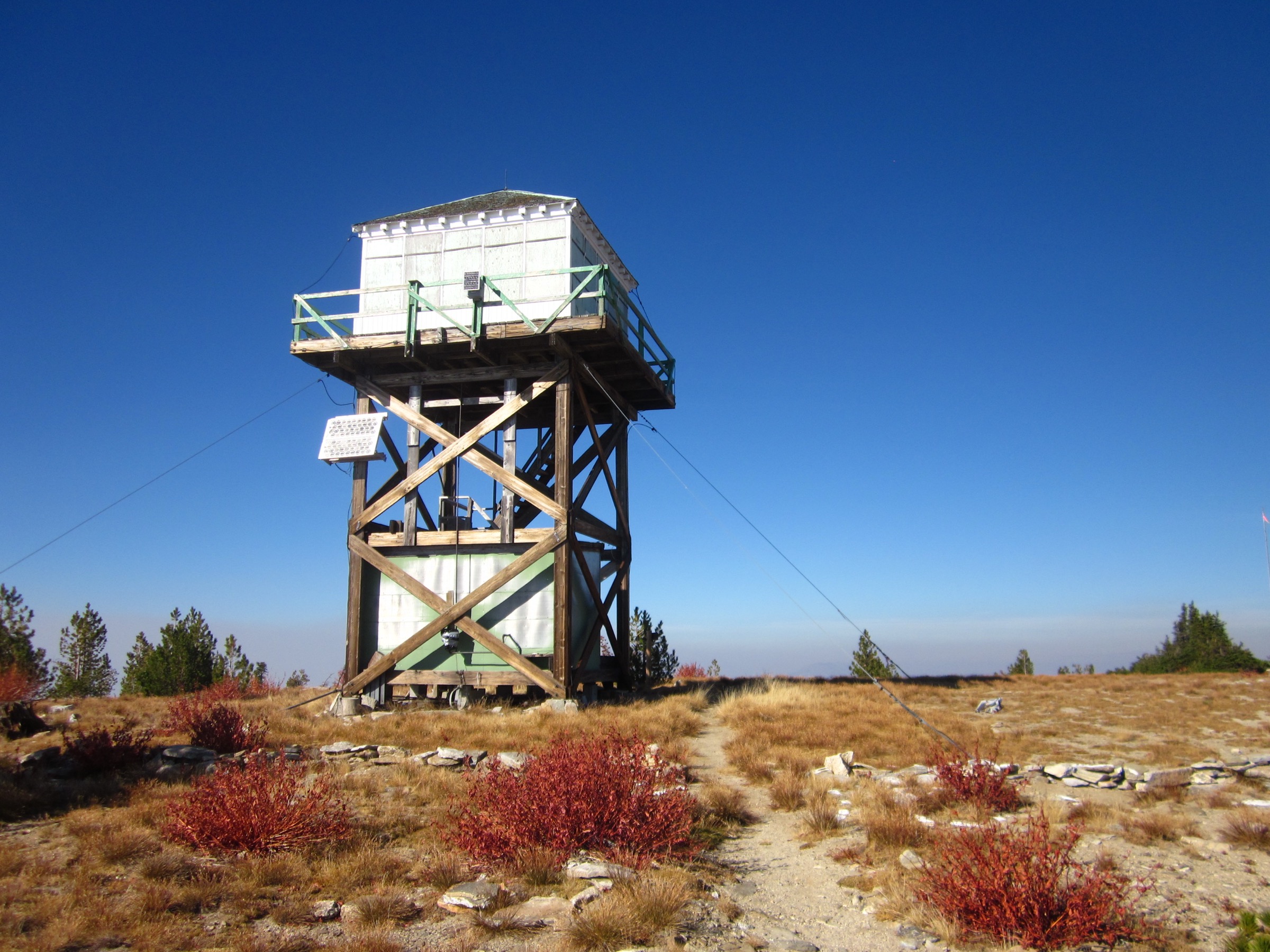
From the Granite Mountain Trailhead on Goose Lake Road, cross the bridge and meadow described by USFS, then climb the steep, rocky trail toward the Granite Mountain fire lookout at ~8,480 ft. Return by the same route. A spur roughly half a mile from the east trailhead offers a short side trip to Twin Lakes.
Why it is essential
The lookout summit of this set — a compact climb to broad views west into the Little Salmon River drainage and east across central Idaho’s mountains.
Equipment
- Sturdy footwear
- Trekking poles
- 2 L water (none available on route)
- Wind shell and warm layer
- Sun protection
- Offline map and headlamp
Hazards and notes
- Steep rocky climbing; exposure to weather near the lookout.
- Snow or mud early and late season.
- No potable water on the trail.
- USFS warns that the west side between Forest Road 294 and the lookout is difficult to follow — this catalogue route uses the east Goose Lake Road trailhead.
GPX / route file
| Source | URL | Format | Notes |
|---|---|---|---|
| USFS — Granite Mountain Trail #165 | fs.usda.gov | Official trail source | Access, trail character, lookout elevation |
| AllTrails — Granite Mountain Trail 165 | alltrails.com | Source map / proprietary trail database | Direct GPX not retrieved; do not reuse geometry without licence/export authorisation |
| OpenStreetMap search | openstreetmap.org | Source map | Reusable only under ODbL terms with attribution/share-alike |
Sources
5. Boulder Lake / Louie Lake loop
Snapshot
Itinerary
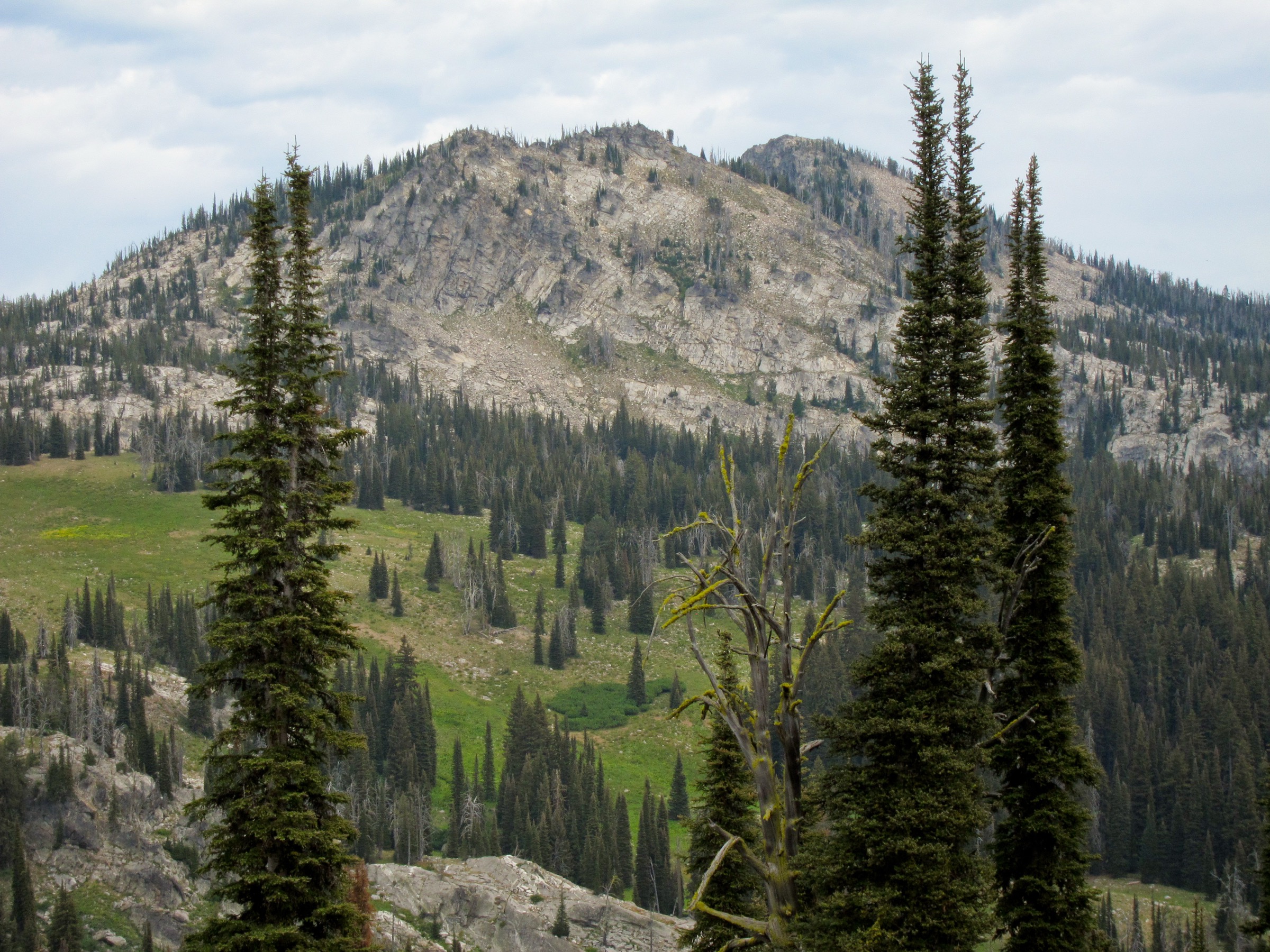
The loop version starts near the Boulder Meadows Reservoir / Louie Lake access area. The AllTrails route links Louie Lake and Boulder Lake in a day-sized circuit. Official Boulder Lake Trail #105 begins at the west end of Boulder Meadows Reservoir and climbs gradually before steep switchbacks ascend a granite face just below Boulder Lake. Return by the loop route if navigation and conditions allow, or use the shorter out-and-back to Boulder Lake if the loop route is unclear.
Why it is essential
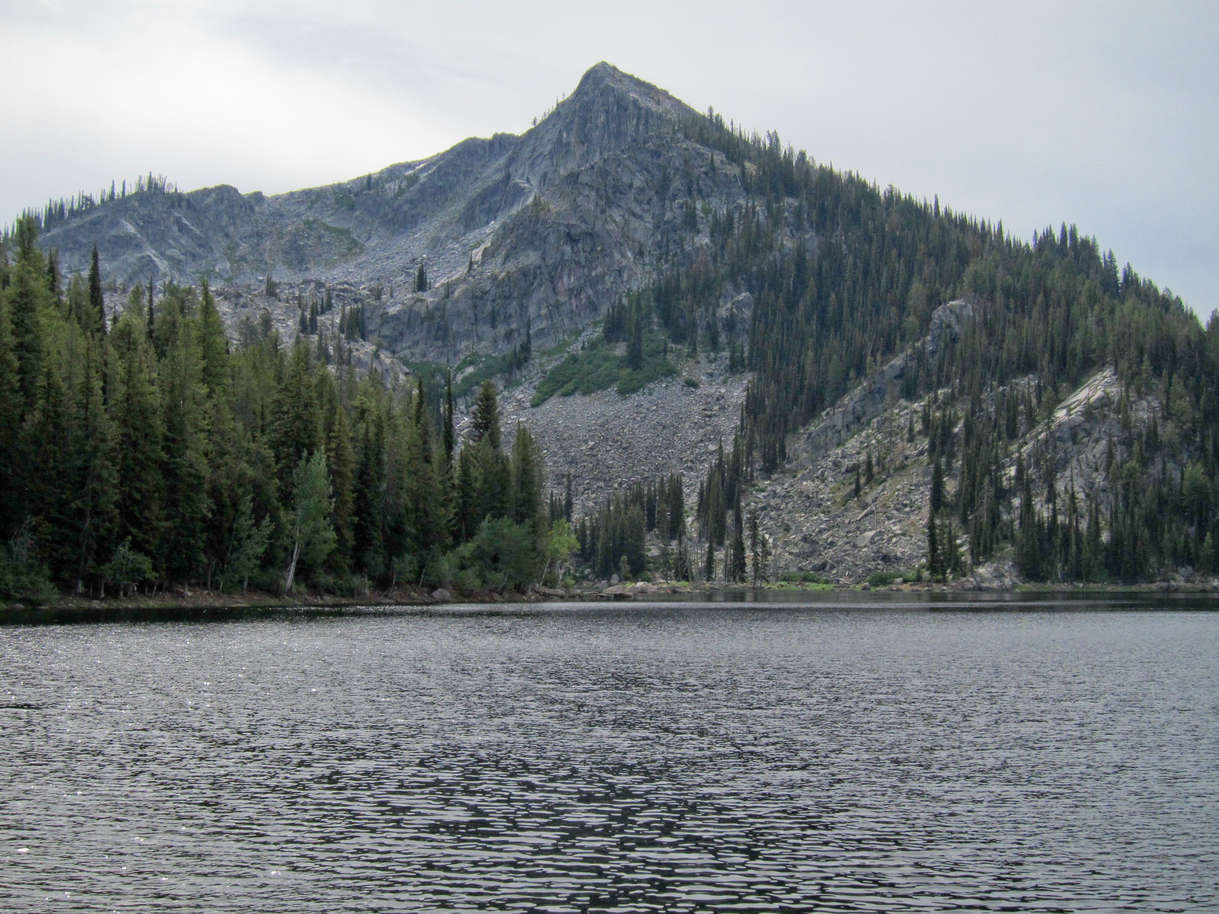
The accessible lake-loop face of the southern McCall Salmon River Mountains — granite, water, meadows and short-but-real mountain climbing. Jughandle Mountain from Louie Lake is one of the range’s signature granite viewpoints and appears on this article’s cover.
Equipment
- Hiking shoes or boots
- Trekking poles
- Water treatment
- Insect repellent
- Sun protection
- Rain shell and warm layer
- Offline map and GPS (navigation matters on the loop)
Hazards and notes
- Water crossings and confusing side routes.
- Mosquitoes; steep switchbacks on granite.
- Rough forest-road navigation.
- No potable water on the official Boulder Lake Trail page.
GPX / route file
| Source | URL | Format | Notes |
|---|---|---|---|
| USFS — Boulder Lake Trail #105 | fs.usda.gov | Official trail source | Boulder Lake Trail segment context |
| AllTrails — Boulder Lake Loop Trail | alltrails.com | Source map / proprietary trail database | Direct GPX not retrieved; do not reuse geometry without licence/export authorisation |
| OpenStreetMap search | openstreetmap.org | Source map | Reusable only under ODbL terms with attribution/share-alike |
Sources
Further reading
- Payette National Forest — forest homepage
- Payette National Forest — recreation
- Payette National Forest — Lick Creek area
- Payette National Forest — Secesh / Warren area
- Salmon River Mountains — reference page
- Companion article on this site: USA — Frank Church–River of No Return region — the deeper wilderness side of the same Idaho Batholith taxonomy.
Missing data / follow-up work
- No official GPX or KML downloads were retrieved for any of the five routes; route-file status rests on the USFS Payette National Forest trail pages, AllTrails and OpenStreetMap.
- Licence-compatible route-specific images for Loon Lake, Hum Lake, Box Lake and Granite Mountain were not resolved above the site’s 2000 px floor; the cover uses a Louie Lake / Jughandle Mountain image relevant to Hike 5.
- Current-year Payette National Forest road status, fire restrictions and trailhead conditions should be re-checked before publication — Lick Creek Road in particular is described by USFS as rough and narrow.
- The exact loop routing for Boulder Lake / Louie Lake needs field confirmation, since the AllTrails loop stitches USFS-listed segments that are not described as a single named loop on the official Boulder Lake Trail page.