Regional overview
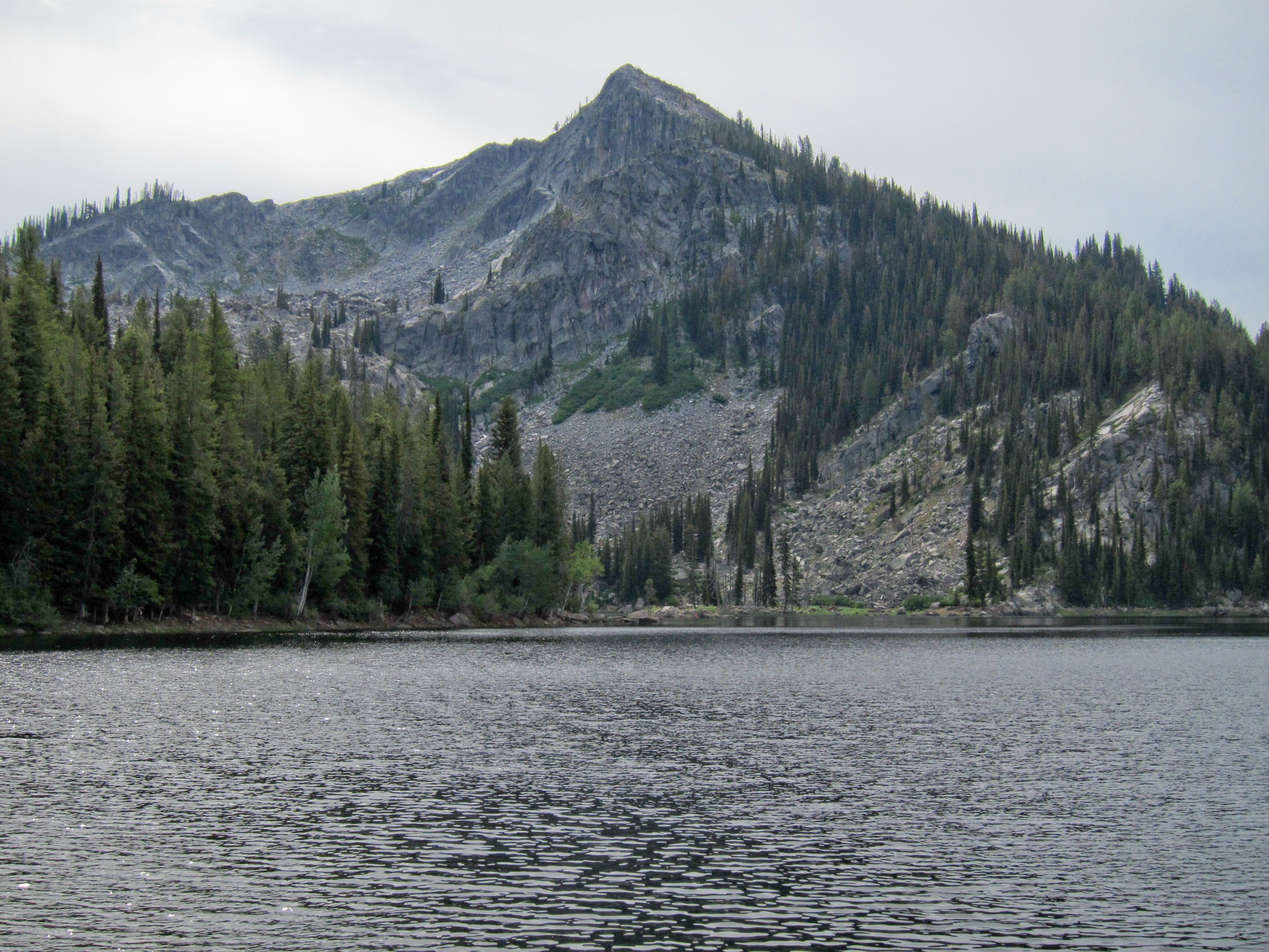
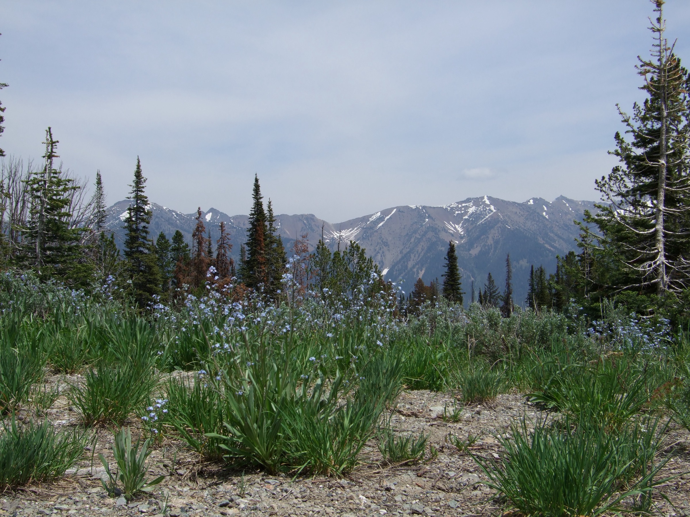
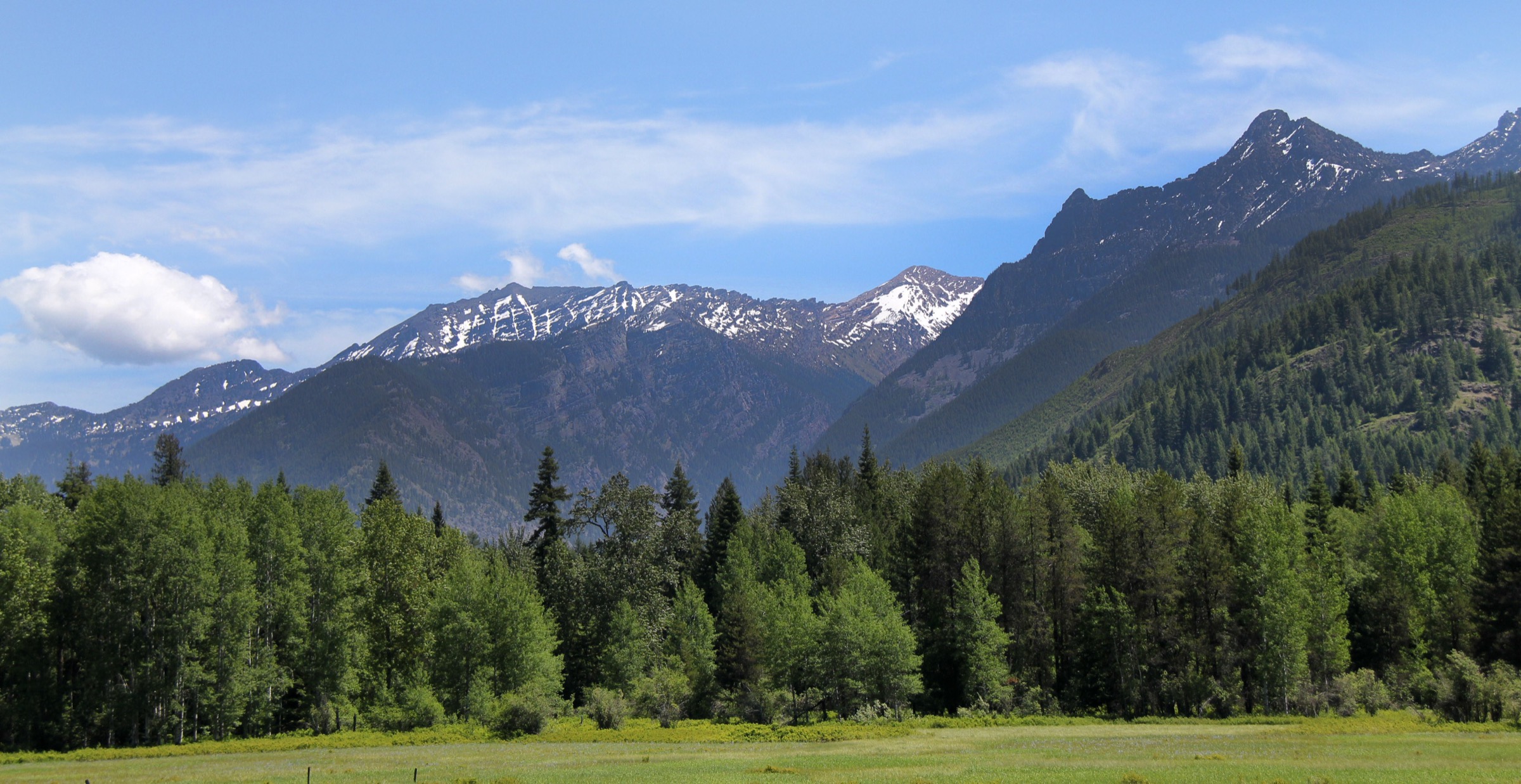
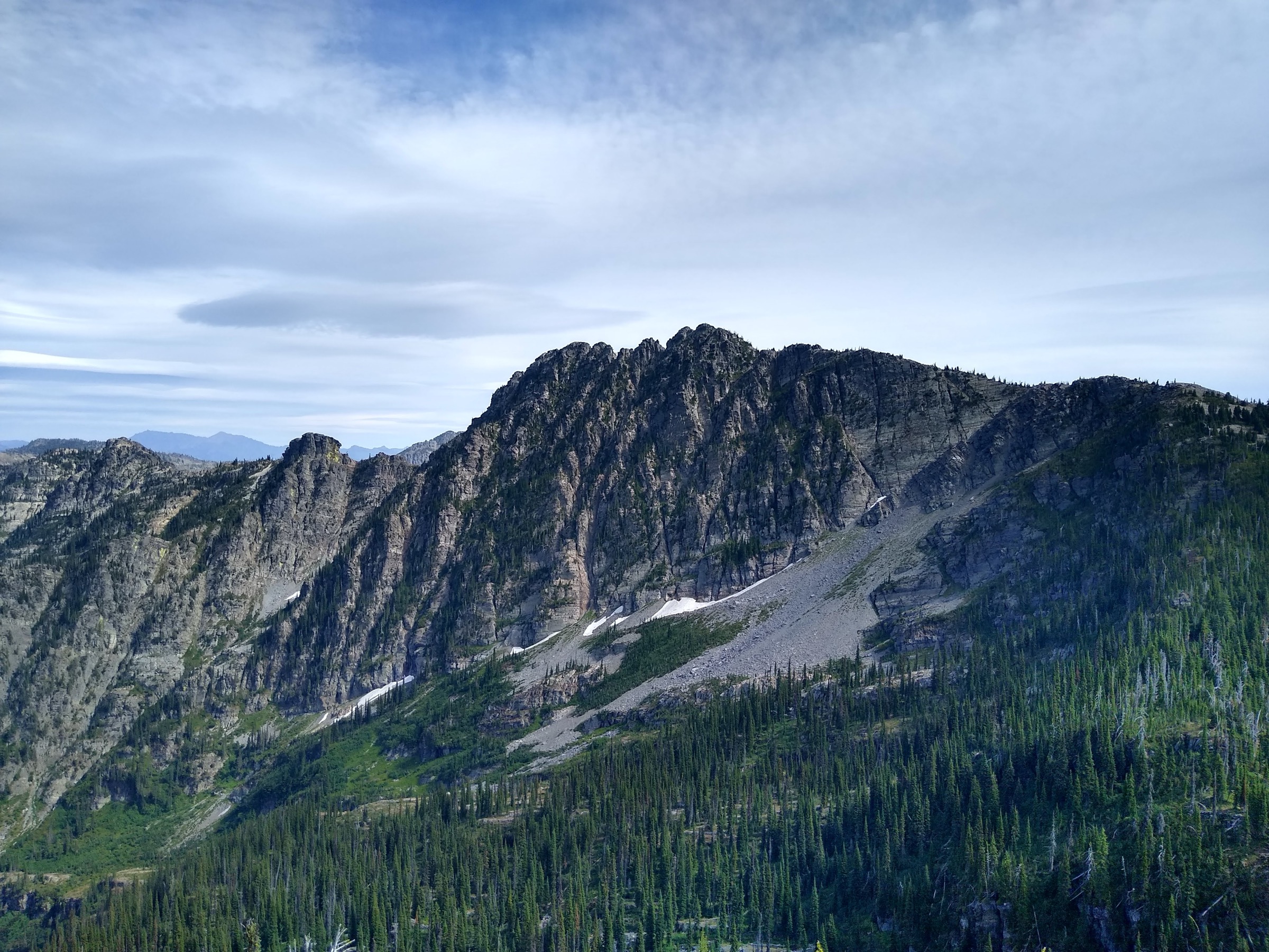
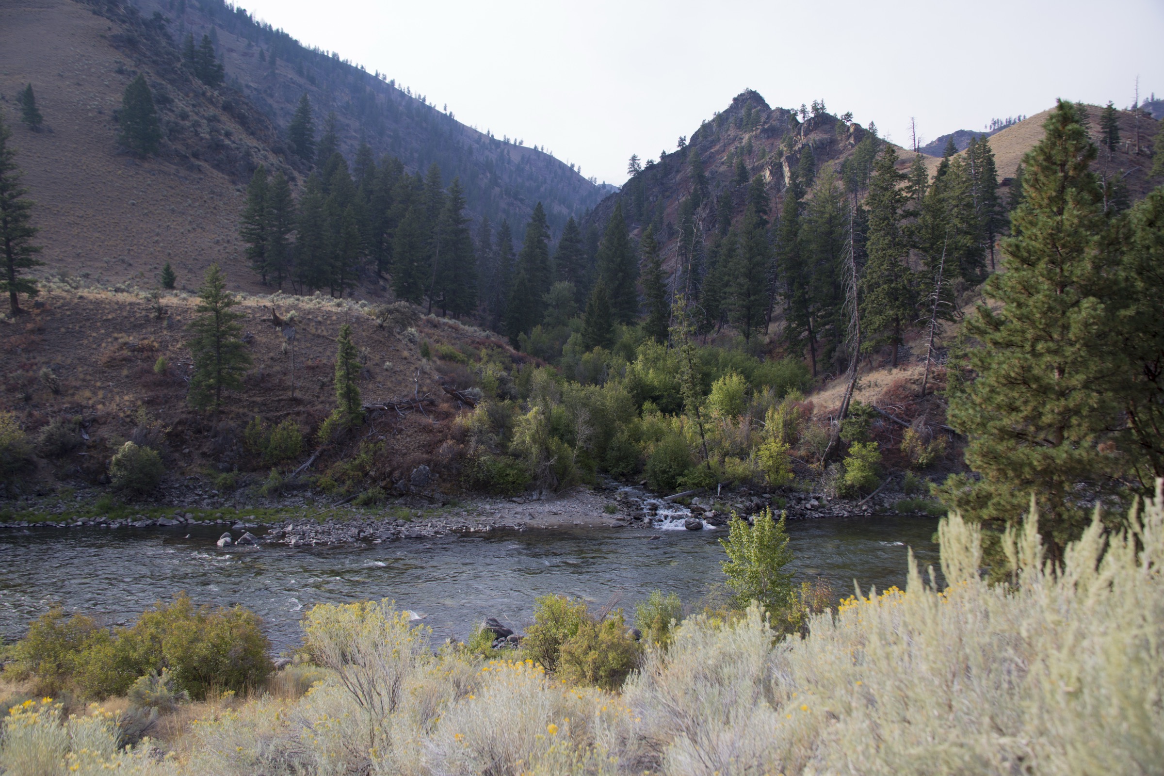
The Frank Church-River of No Return region is not a compact day-hiking park. It is a 2.4-million-acre wilderness of roadless mountains, wild rivers, public-use airstrips, old stock routes, hot springs, burn mosaics and long backpacking corridors, jointly managed by the Salmon-Challis, Payette, Nez Perce-Clearwater, Bitterroot and Boise National Forests. The Salmon-Challis forest description highlights the Wild and Scenic Salmon River and the Middle Fork of the Salmon River as defining features of the wilderness.
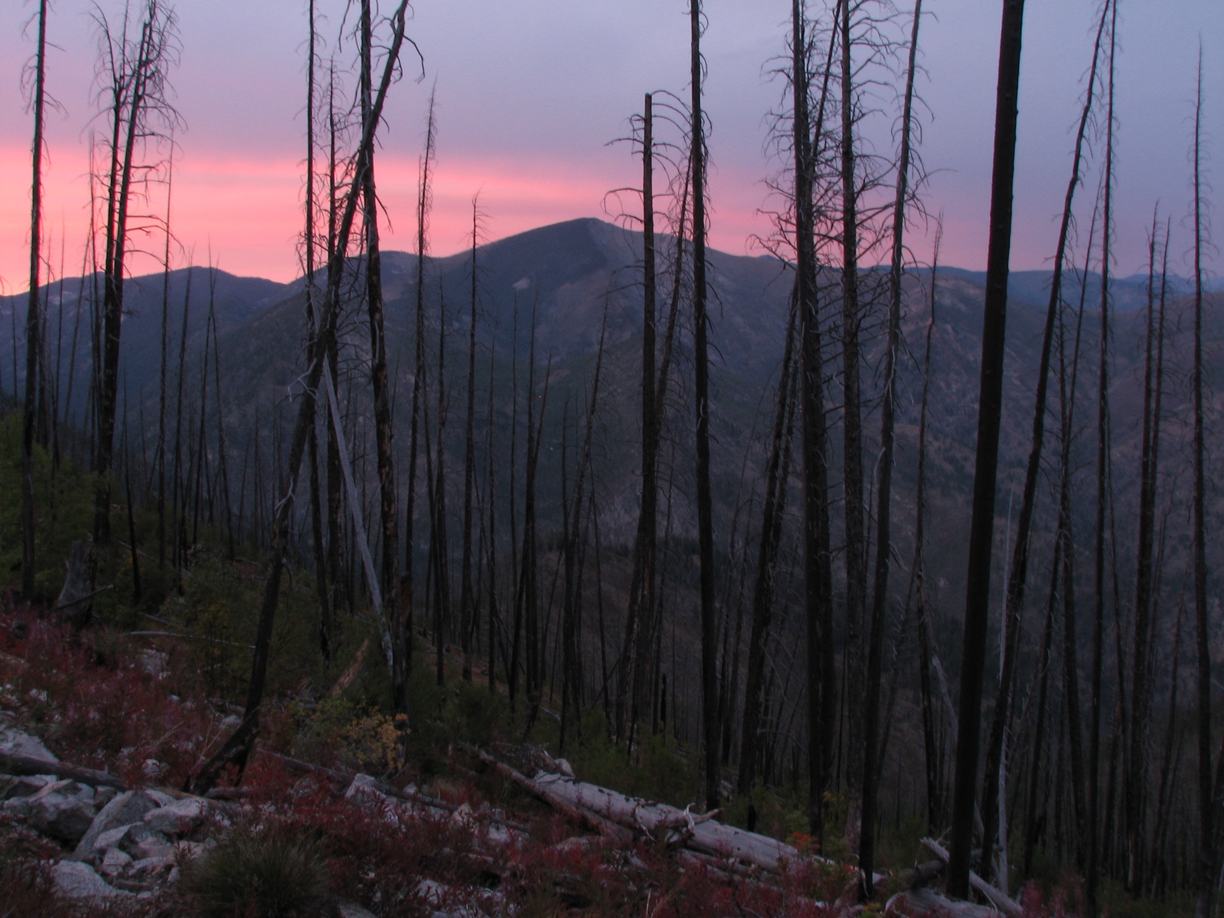
For a day-hike catalogue, the practical interpretation is “road- or trailhead-accessible day sections and objectives on the wilderness margins and high road-end portals.” Many celebrated Frank Church routes are multi-day backpacking trips; this entry selects defensible day-sized outings and marks where a long trail has been reduced to a day-section. The walking character is remote and self-reliant: high-clearance roads, late snow, wildfire effects, long emergency response times, river-corridor regulations, possible ford crossings, rockfall, downed trees and no cell service. Carry paper/offline maps, water treatment, first aid, extra food, warm and rain layers, a headlamp and awareness of current fire regulations. Check district road and trail reports before entering.
See also: Salmon River Mountains, Idaho · Wallowa Mountains, Oregon.
Selection rationale
The five hikes represent the region’s day-hike faces: Bighorn Crags alpine granite and lakes at Cathedral Lake; a Seafoam-area high-lake objective at Langer Lake; a Middle Fork river-canyon day section from the Boundary-Dagger portal; a Loon Creek wilderness valley walk; and a high summit and ridge outing at Sleeping Deer Mountain. All are feasible as day outings for fit, well-prepared hikers in normal summer conditions, but several are remote enough that conservative turnaround times are essential.
Summary
| # | Hike | Country | Route type | Distance | Gain | Difficulty | Primary trailhead |
|---|---|---|---|---|---|---|---|
| 1 | Cathedral Lake via Bighorn Crags | USA | Out-and-back | 14.3 km / 8.9 mi | 709 m / 2,326 ft | Hard | Bighorn Crags Campground |
| 2 | Langer Lake | USA | Out-and-back | 6.6 km / 4.1 mi | 323 m / 1,059 ft | Moderate | Josephus / Seafoam-Langer area |
| 3 | Middle Fork Trail #4001 day section | USA | Point-to-point section or out-and-back | up to 22.0 km / 13.7 mi | 553 m / 1,814 ft | Hard | Middle Fork Transfer Camp & Trailhead |
| 4 | Loon Creek Trail #4101 day section | USA | Out-and-back section | 18.5 km / 11.5 mi | 205 m / 672 ft | Hard | Phillips Creek Trailhead |
| 5 | Sleeping Deer Mountain and Woodtick Summit | USA | Out-and-back | 14.2 km / 8.8 mi | 523 m / 1,715 ft | Hard | Sleeping Deer Road / Martin Mountain Trail |
1. Cathedral Lake via Bighorn Crags
Snapshot
Itinerary
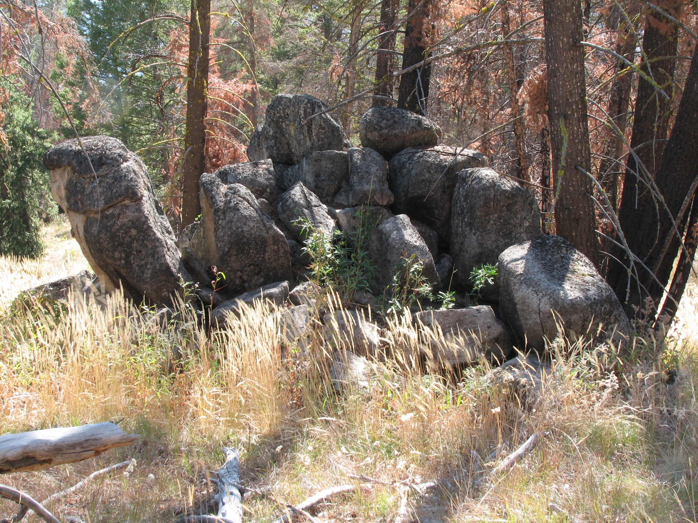
From the Bighorn Crags Campground / Crags trailhead area, follow the established trail into the Bighorn Crags high country toward Cathedral Lake. Return the same way unless continuing as part of a longer backpacking itinerary. The surrounding Bighorn Crags are known for granite peaks and alpine lakes and sit inside the Frank Church-River of No Return Wilderness.
Why it is essential
The Bighorn Crags are the alpine emblem of the Frank Church region. Cathedral Lake gives a day-sized sample of the area’s granite-and-lake wilderness without committing to the longer Ship Island Lake trip or a multi-day Crags traverse.
Equipment
- Mountain hiking boots
- Water treatment
- Trekking poles
- Rain shell and warm layer
- Sun protection and insect repellent
- Offline map, headlamp and emergency bivy layer
Hazards and notes
- Remote high trailhead with rough access; drive carefully.
- Late snow lingers into early summer at trail elevation.
- Exposed weather at ridge sections; afternoon thunderstorms.
- Wildfire-affected tread possible; deadfall likely.
- Limited or no cell communication.
- Check Salmon-Cobalt Ranger District conditions before travel.
Routes and maps
| Source | URL |
|---|---|
| USFS — Bighorn Crags & Yellowjacket Recreation Areas | fs.usda.gov |
| USFS — Salmon-Cobalt Region | fs.usda.gov |
| OpenStreetMap — Cathedral Lake / Bighorn Crags | openstreetmap.org |
Further reading
2. Langer Lake
Snapshot
Itinerary
From the Josephus / Seafoam-Langer area trailhead the route walks the Langer Lake trail to the lake and returns the same way. Salmon-Challis notes that the broader Seafoam-Langer “bubble” is non-wilderness but sits close to the Frank Church-River of No Return boundary; regulations differ across that line.
Why it is essential
Langer Lake is a compact day-sized high lake in a region otherwise dominated by multi-day travel — a realistic alpine-lake objective for hikers who want a shorter day but still need remote-road and mountain-weather preparation.
Equipment
- Hiking shoes or boots
- Water treatment
- Insect repellent
- Rain shell and warm layer
- Sun protection
- Offline map and headlamp
Hazards and notes
- Remote access roads; check road status before travel.
- Late snow at trailhead elevation into early summer.
- Mosquitoes can be heavy after snow melt.
- Rocky and steep sections in the upper trail.
- Limited or no cell communication.
- Watch for wilderness-boundary sign; regulations change across the line.
Routes and maps
| Source | URL |
|---|---|
| USFS — Middle Fork Region (Seafoam / Langer context) | fs.usda.gov |
| OpenStreetMap — Langer Lake | openstreetmap.org |
Further reading
3. Middle Fork Trail #4001 day section
Snapshot
Itinerary
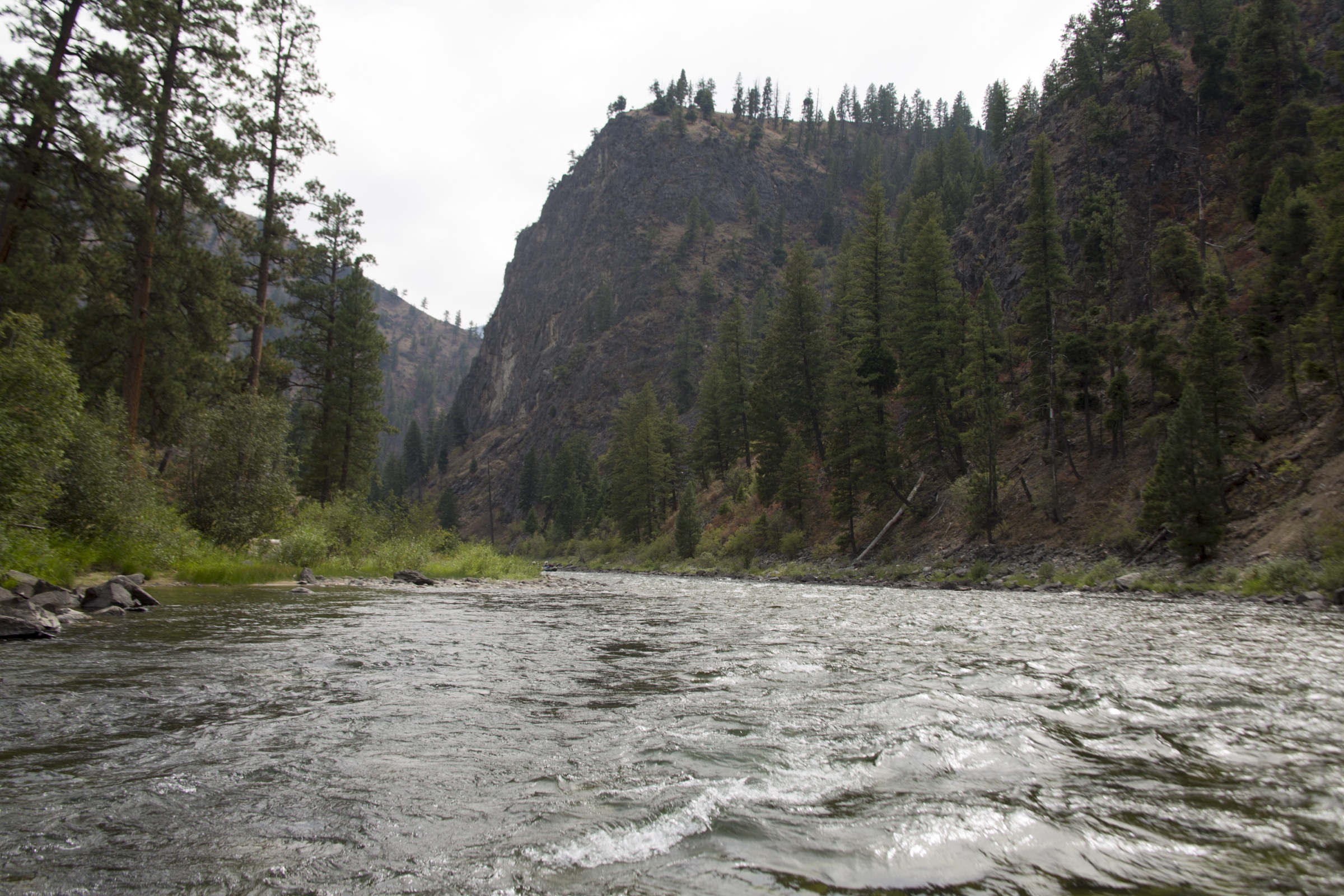
Use Middle Fork Transfer Camp & Trailhead as the practical road-accessed portal for a day section of Middle Fork Trail #4001. The official trail is a long wilderness corridor — 82.3 miles from Big Hole to Camas Creek — so this entry is a day section, not the whole route. Walk the Middle Fork corridor to a conservative turnaround, or complete a prearranged point-to-point day section only if transport and logistics are certain.
Why it is essential
The Middle Fork of the Salmon River is one of the defining landscapes of the Frank Church region. A day section from the Boundary-Dagger access side gives walkers a sample of the wild river canyon, river-corridor rules and remote wilderness travel without committing to a float trip or backpack.
Equipment
- Boots
- Water treatment
- Rain shell and warm layer
- Sun protection
- First aid and headlamp
- Offline / paper maps
- Extra food
- Emergency communication device where possible
Hazards and notes
- USFS warns of rockfall, downed trees, spring flooding and private-land adjacency in places.
- No cell service; long emergency response times.
- The Elkhorn Creek pack bridge is out — the crossing is now a ford per the official trail page.
- Portions may be flooded by high water in spring.
- Observe river-corridor waste, ash, fire-pan and stock rules.
- Turn around early if water, heat, fire or trail conditions deteriorate.
Routes and maps
| Source | URL |
|---|---|
| USFS — Middle Fork Trail #4001 | fs.usda.gov |
| USFS — Middle Fork Transfer Camp & Trailhead | fs.usda.gov |
| OpenStreetMap — Middle Fork Trail #4001 | openstreetmap.org |
Further reading
4. Loon Creek Trail #4101 day section
Snapshot
Itinerary
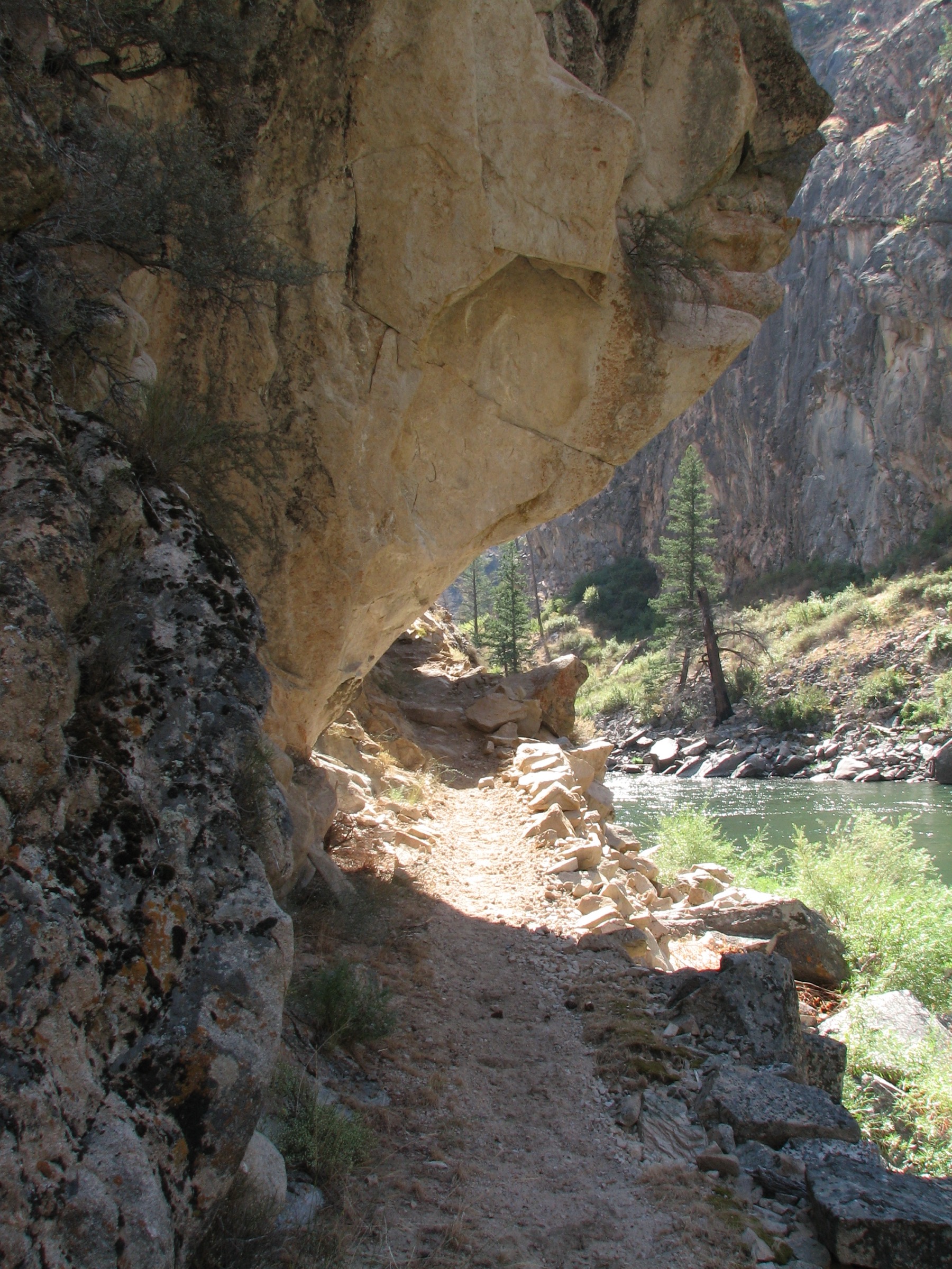
From Phillips Creek Trailhead at the end of Loon Creek Road #007, hike down Loon Creek Trail #4101 as an out-and-back day section. The full official trail is 20.7 miles long between Lower Loon Creek Bridge (at Middle Fork Trail #4001) and Phillips Creek Trailhead; this catalogue uses only a day-sized out-and-back.
Why it is essential
Loon Creek gives the quieter valley-walk side of the Frank Church region — wilderness creek travel, hot-spring country nearby and a long historic access corridor without the alpine-lake crowds of the Crags.
Equipment
- Remote-day hiking kit and boots
- Water treatment and insect repellent
- Rain shell and warm layer
- Offline / paper maps
- Extra food, first aid and headlamp
- Satellite messenger recommended — no cell service
Hazards and notes
- USFS warns help is not readily available and that roads and trails may be impassable due to weather and limited maintenance.
- Loon Creek access roads are single-track dirt with high-elevation passes closed by snow in winter.
- Indian Springs Road is steep, narrow, rough and not maintained annually.
- Wildfire effects and deadfall likely.
- No reliable communication; leave a trip plan.
Routes and maps
| Source | URL |
|---|---|
| USFS — Loon Creek Trail #4101 | fs.usda.gov |
| USFS — Middle Fork Region | fs.usda.gov |
| OpenStreetMap — Loon Creek Trail | openstreetmap.org |
Further reading
5. Sleeping Deer Mountain and Woodtick Summit
Snapshot
Itinerary
Access the Martin Mountain Trail from the end of Sleeping Deer Road, then hike toward Sleeping Deer Mountain and Woodtick Summit, returning the same way. An option at the first trail junction is to take Trail #212 to the summit of Sleeping Deer Mountain. If road conditions force parking below the normal start, add the road walk to the day.
Why it is essential
This is the high-ridge and summit choice in the Frank Church day-hike set — a remote lookout-style walk above the Sleeping Deer country with broad views and a very different feel from the river and lake routes.
Equipment
- Full remote-day mountain kit and boots
- Water and treatment
- Wind and rain shell, warm layer
- Sun protection
- Offline / paper maps
- First aid and headlamp
- Emergency communication device where possible
Hazards and notes
- Sleeping Deer Road is a single-track, high-elevation dirt road that opens late and closes early because of snow.
- High-clearance 4WD is recommended.
- Remote navigation; expect deadfall and possible wildfire effects.
- No services and no reliable communication.
- Afternoon thunderstorms at ridge and summit elevation.
Routes and maps
| Source | URL |
|---|---|
| USFS — Middle Fork Region (Sleeping Deer context) | fs.usda.gov |
| USFS — Twin Peaks Transfer Camp | fs.usda.gov |
| OpenStreetMap — Sleeping Deer Mountain / Martin Mountain Trail | openstreetmap.org |
Further reading
Region-wide cautions
- The Frank Church region is a 2.4-million-acre wilderness; help is not readily available and emergency response is long.
- No reliable cell service on any of these routes — carry offline maps and leave a trip plan; a satellite messenger is strongly advised.
- Access roads are largely single-track dirt with high-elevation passes closed by snow; some routes require high-clearance or 4WD.
- Late snow, wildfire effects, downed trees and washed-out tread are recurring — check district road and trail reports before travel.
- River-corridor and wilderness regulations apply on the Middle Fork corridor; observe fire, ash and stock rules.
- Weather is variable and afternoon thunderstorms are common on ridges and summits; carry rain and warm layers year-round.