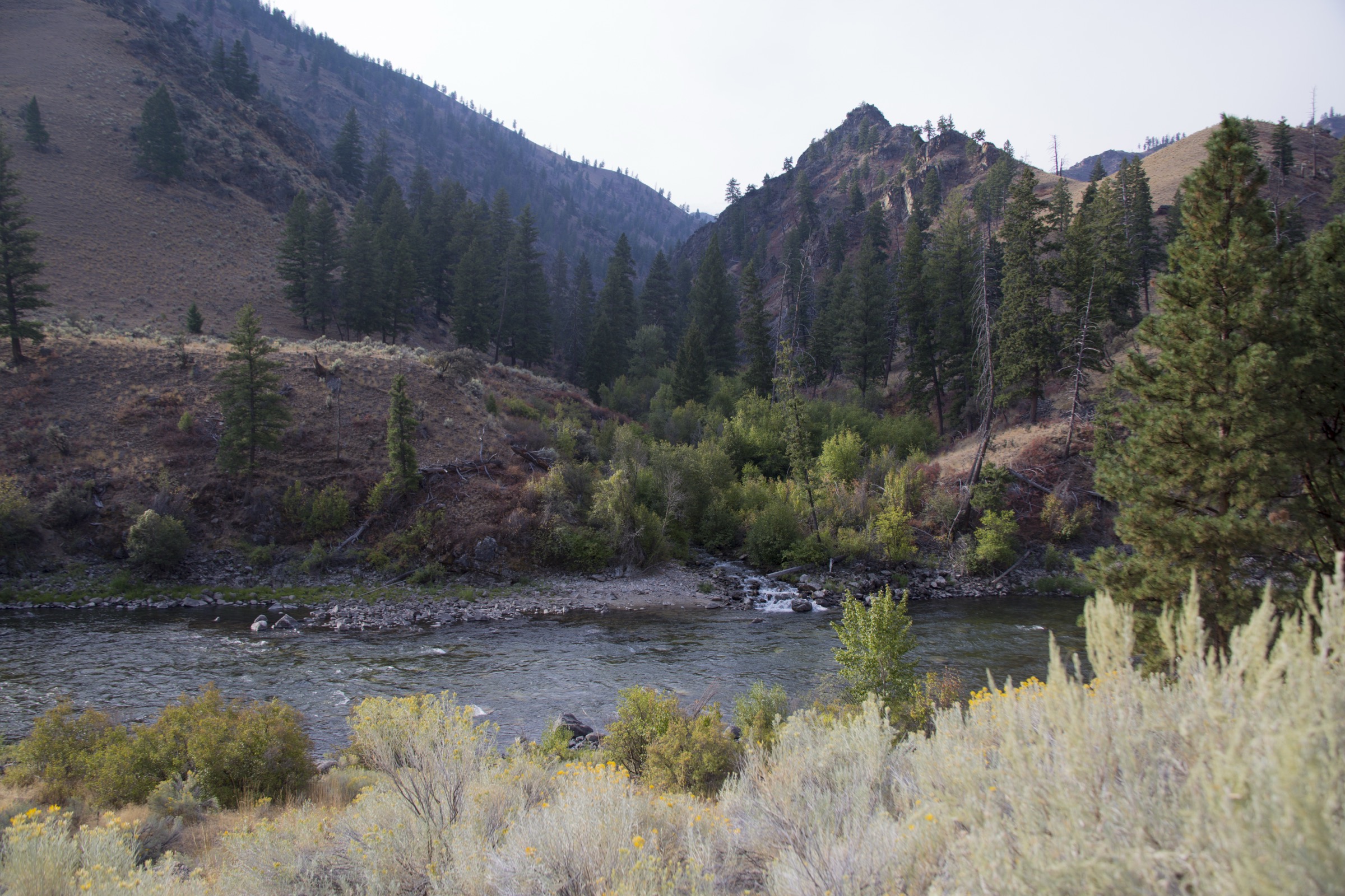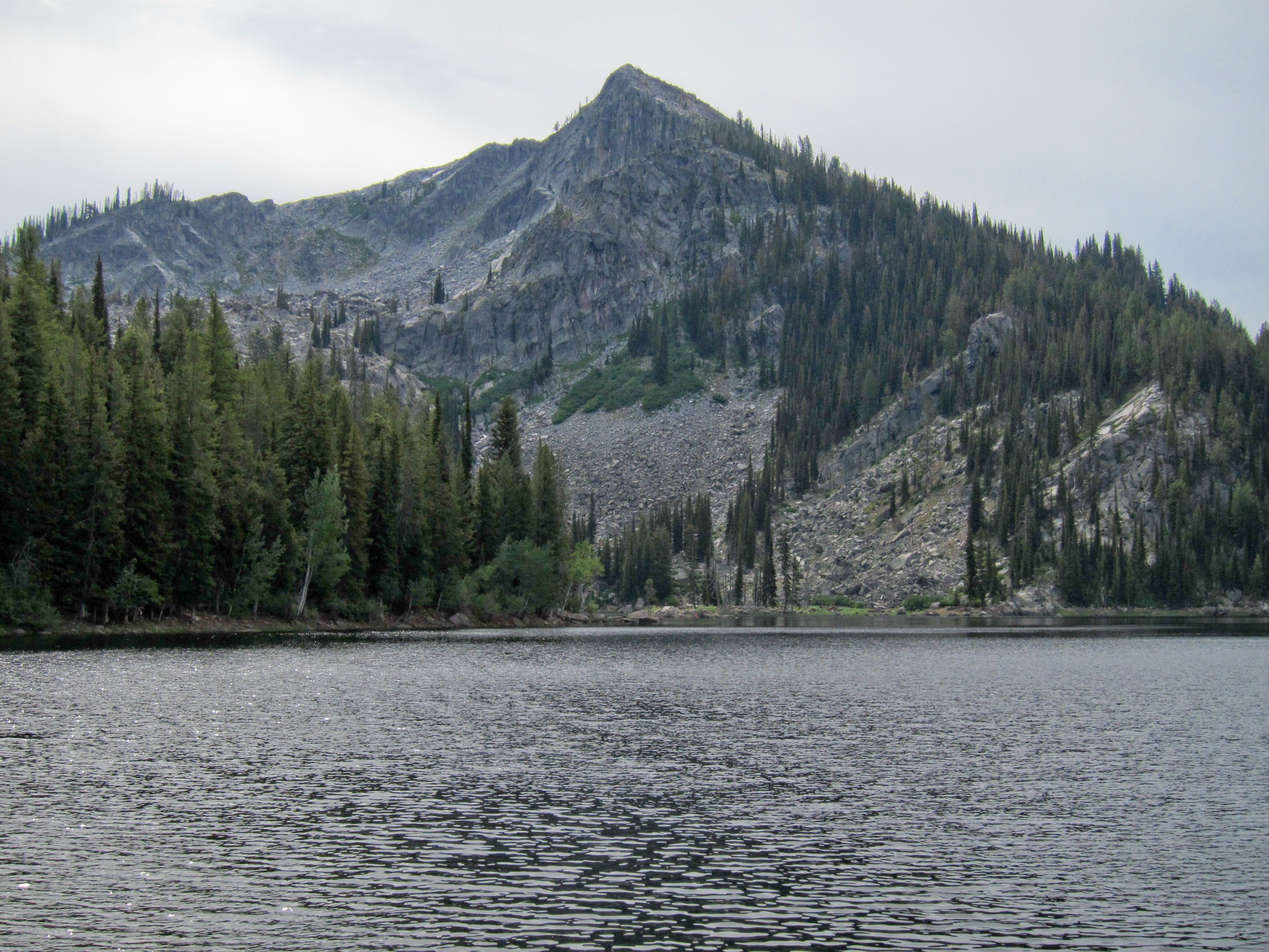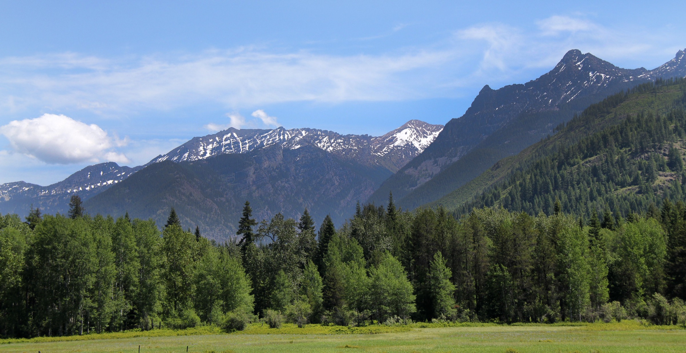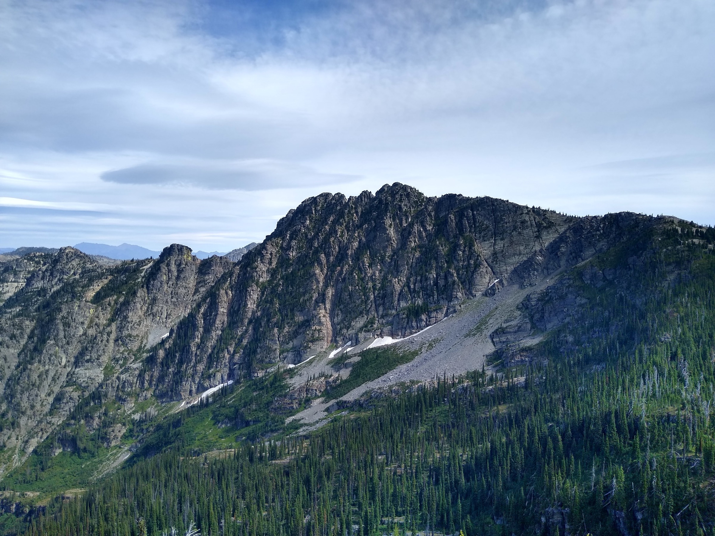
Regional overview
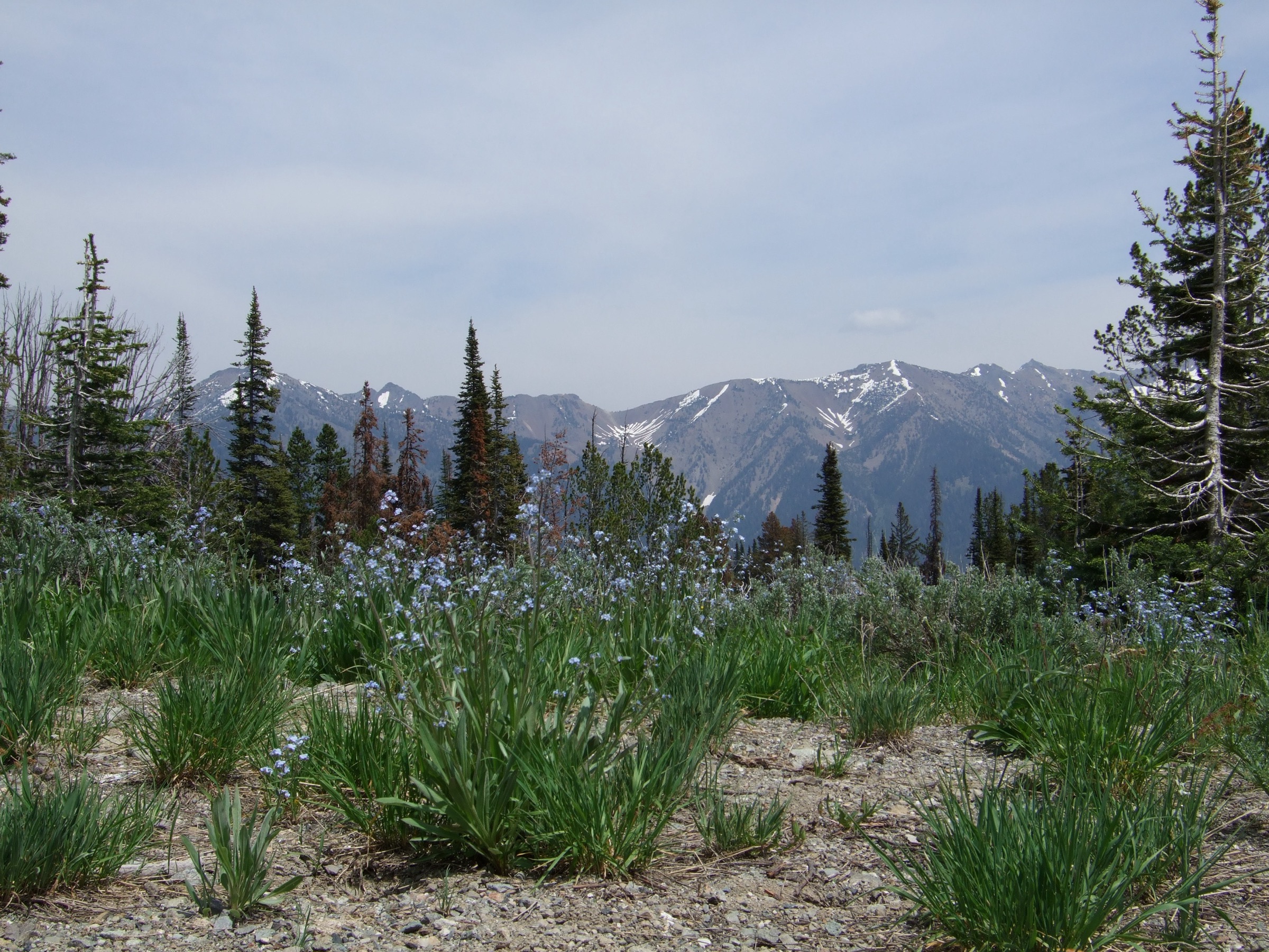
The Boulder Mountains north of Ketchum and Sun Valley are one of central Idaho’s sharper, quieter alpine ranges — high sedimentary and volcanic ridges, loose talus, avalanche paths, cold headwater canyons, mining history, and a relatively small maintained-trail network compared with the neighbouring Sawtooths. The core hiking landscape sits inside the Hemingway-Boulders Wilderness and the Sawtooth National Recreation Area, with approaches from Highway 75, Galena Summit, the North Fork Big Wood River and Boulder Creek.
This article interprets the region as the Idaho Boulder Mountains / Hemingway-Boulders area, and deliberately excludes popular nearby hikes that sources place in the Smoky Mountains or Pioneer Mountains, such as Baker Lake, Norton Lakes, Titus Lake and Kane Lake. The practical hiking season is usually July through September for high passes, summits and the Boulder Creek / Boulder Lake corridor; lower Murdock Creek and North Fork routes can sometimes be walked earlier or later, subject to snow, creek flow and road condition.
Current-condition notes checked on 2026-07-17: the Sawtooth National Forest current-conditions page points hikers to the SNRA trails report, summer trail partners and alerts / fire-danger status. A National Weather Service Red Flag Warning was active for the Sawtooth Range / Northern Sawtooth NF fire-weather zone on 2026-07-17 because of lightning and strong thunderstorm outflow winds. Check Sawtooth National Forest alerts, fire restrictions and the SNRA trails report before travel.
See also: Frank Church / River of No Return · Salmon River Mountains.
Selection rationale
These five hikes represent the Boulder Mountains as a range: a lower accessible creek hike, the classic West Fork North Fork Big Wood canyon, the range high point at Ryan Peak, the compact Galena Peak summit climb, and the historic Boulder Creek / Boulder City route to Boulder Lake. The set favours routes that remain plausible day hikes for fit walkers while acknowledging that Boulder Mountains hiking often involves steep grades, fading tread, loose talus, creek crossings and route-finding. Route stats were cross-checked against AllTrails, IdahoSummits, Idaho: A Climbing Guide, onX and Trails Offroad; no downloadable GPX was retrieved, so route-file status rests on those source maps and on OpenStreetMap.
Summary table
| # | Hike | Country | Route type | Distance | Gain | Max elevation | Difficulty |
|---|---|---|---|---|---|---|---|
| 1 | Murdock Creek | USA | Out-and-back | 10.9 km | 376 m | 2,323 m | Moderate |
| 2 | West Fork North Fork Big Wood River | USA | Out-and-back | 12.3 km | 756 m | 2,795 m | Moderate–Hard |
| 3 | Ryan Peak via West Pass | USA | Out-and-back | 18.5 km | 1,531 m | 3,570 m | Very hard (Class 2) |
| 4 | Galena Peak via Senate Creek / west ridge | USA | Out-and-back | 7.9 km | 1,075 m | 3,399 m | Hard (Class 2) |
| 5 | Boulder Creek Road to Boulder City and Boulder Lake | USA | Out-and-back | 20.1 km | 892 m | 2,909 m | Hard |
1. Murdock Creek
Snapshot
Itinerary
From the North Fork Canyon Road corridor, turn onto Murdock Creek Road and continue to the trailhead. Follow the trail up Murdock Creek through forest, streamside vegetation, wildflower openings and increasingly open views toward the Boulder front. Turn around at a sensible upper point before the route becomes too faint or steep for the party and return the same way.
The Idaho Statesman notes that Murdock Creek is one of the easier-to-reach SNRA-area hikes and is partly accessible before it steepens. AllTrails records it as a moderate out-and-back in Hemingway-Boulders Wilderness with forest, river, wildflower and view features.
Why it is essential
Murdock Creek is the lower, more approachable Boulder Mountains entry in this catalogue. It gives a half-day sample of Hemingway-Boulders terrain without requiring the loose high passes and summit ridges that define the harder routes.
Equipment
- Sturdy trail shoes or boots
- Water
- Sun protection
- Rain shell and warm layer
- Insect repellent
- Offline map
- Trekking poles if continuing into steeper or rocky sections
Hazards and notes
- Rocky and locally steep tread; spring mud; possible creekside overgrowth.
- Ticks and other insects in warm months; limited cell service.
- Early-season snowmelt can make nearby creek crossings and side drainages awkward.
GPX / route file
| Source | URL | Format | Notes |
|---|---|---|---|
| AllTrails — Murdock Creek | alltrails.com | Source map / proprietary trail database | Direct GPX not retrieved; do not reuse geometry without licence/export authorisation |
| Sawtooth National Forest — current conditions | fs.usda.gov | Official conditions portal | Use for current alerts and trail-report access; no route GPX exposed |
| OpenStreetMap search | openstreetmap.org | Source map | Reusable only under ODbL terms with attribution/share-alike |
Sources
- AllTrails — Murdock Creek
- Idaho Statesman — SNRA trail recommendations
- Sawtooth National Forest — current conditions
- Hemingway-Boulders Wilderness — Wilderness.net
2. West Fork North Fork Big Wood River
Snapshot
Itinerary
From the North Fork Wood River Trailhead, take the West Fork of the North Fork Big Wood River route rather than the North Fork route toward West Pass. The trail starts through shaded forest, reaches a significant creek crossing near the trailhead area, then climbs past waterfall sections and avalanche meadows into a steep-walled Boulder Mountains canyon. Continue toward the broad upper headwaters basin, where the tread fades and further travel becomes more exploratory. Return the same way.
The onX route description identifies the North Fork Big Wood drainage as a hiking centre of the Boulder Mountains and describes the West Fork as a favourite route with waterfalls, avalanche-cleared meadows, wildflowers and upper-basin route-finding. Treat the published one-way line as a source-map route, not a guaranteed maintained trail to a fixed destination.
Why it is essential
This is the catalogue’s classic Boulder Mountains canyon hike — steep walls, loose colourful rock, waterfalls, wildflowers, avalanche paths and the feeling of entering a higher, wilder range without committing to a summit.
Equipment
- Boots or sturdy trail shoes
- Trekking poles
- Water treatment
- Rain shell and warm layer
- Insect repellent
- Sun protection
- Offline topo map and headlamp
Hazards and notes
- The creek crossing near the trailhead can be intimidating or unsafe in spring and early summer.
- Above the lower canyon, expect fading tread, steep side slopes, loose talus, deadfall and avalanche debris.
- Thunderstorms build quickly; cell service is limited.
- Do not continue into off-trail basins unless the party has navigation and loose-terrain experience.
GPX / route file
| Source | URL | Format | Notes |
|---|---|---|---|
| onX — North Fork of the Big Wood, West Fork of the North Fork | onxmaps.com | Source map / proprietary route page | Direct GPX not retrieved; do not reuse geometry without licence/export authorisation |
| Sawtooth Society — SNRA trail-map resources | sawtoothsociety.org | Map / resource portal | Use for map cross-checking; linked official PDFs may have separate terms |
| OpenStreetMap search | openstreetmap.org | Source map | Reusable only under ODbL terms with attribution/share-alike |
Sources
- onX — North Fork of the Big Wood, West Fork of the North Fork
- Peakvisor — Boulder Mountains hiking overview
- Idaho Statesman — SNRA trail recommendations and West Pass context
- Hemingway-Boulders Wilderness — Wilderness.net
3. Ryan Peak via West Pass
Snapshot
Itinerary
Start at the North Fork Wood River Trailhead and follow the North Fork Big Wood River approach toward West Pass. The West Pass section climbs steeply to the high ridge below Ryan Peak. The Idaho Statesman describes West Pass as a strenuous hike of about 9.5 miles round trip with more than 3,100 ft of gain; this catalogue route continues beyond the pass to Ryan Peak.
From West Pass, leave the maintained trail and climb east toward the Ryan–Kent saddle on loose talus, scree and faint goat / climber paths, then follow the blocky ridge north to Ryan Peak. Return by the same route, allowing extra time for careful descending.
Why it is essential
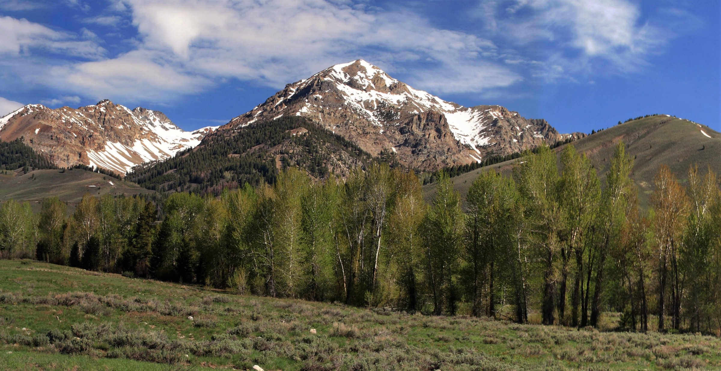
Ryan Peak is the high point of the Boulder Mountains and the obvious summit objective for a strong, experienced day-hiker. It gives the broadest single-day view over the Boulders, White Clouds, Sawtooths, Lost River Range and Wood River country.
Equipment
- Mountain boots or very sturdy trail shoes
- Trekking poles
- Offline topo / GPS
- Emergency communication device if available
- Warm layer, rain shell, sun protection
- Gloves for rough rock
- Water treatment; high-calorie food
- Headlamp
- Traction and an ice axe in early season if snow remains — at which point the day becomes a mountaineering judgement call rather than a simple hike
Hazards and notes
- Long, high, exposed route with loose rock, steep grades, faint tread above West Pass and possible snowfields.
- Severe thunderstorm exposure; Boulder Mountains rock is often unstable.
- AllTrails explicitly warns that the route beyond West Pass involves talus/scree and that thunderstorms build quickly.
- Turn around early if clouds are building or if the party is not moving efficiently.
GPX / route file
| Source | URL | Format | Notes |
|---|---|---|---|
| AllTrails — Ryan Peak via West Pass | alltrails.com | Source map / proprietary trail database | Direct GPX not retrieved; do not reuse geometry without licence/export authorisation |
| IdahoSummits — Ryan Peak | idahosummits.com | Route description / trip stats | Use for narrative and stat cross-check; no direct GPX |
| SummitPost — Ryan Peak | summitpost.org | Peak / source-map community page | Use for peak and access context |
| OpenStreetMap search | openstreetmap.org | Source map | Reusable only under ODbL terms with attribution/share-alike |
Sources
- AllTrails — Ryan Peak via West Pass
- IdahoSummits — Ryan Peak
- SummitPost — Ryan Peak
- Sawtooth Society — SNRA geography overview
- Idaho Statesman — West Pass recommendation
4. Galena Peak via Senate Creek / west ridge
Snapshot
Itinerary
From Highway 75 near Galena Lodge, turn onto Senate Creek / FR 409 and use a suitable pullout near the west-ridge approach. The IdahoSummits route climbs north to gain Galena Peak’s west ridge, follows the forested ridge upward, then continues on increasingly open alpine terrain to the summit ridge. Return by the same route.
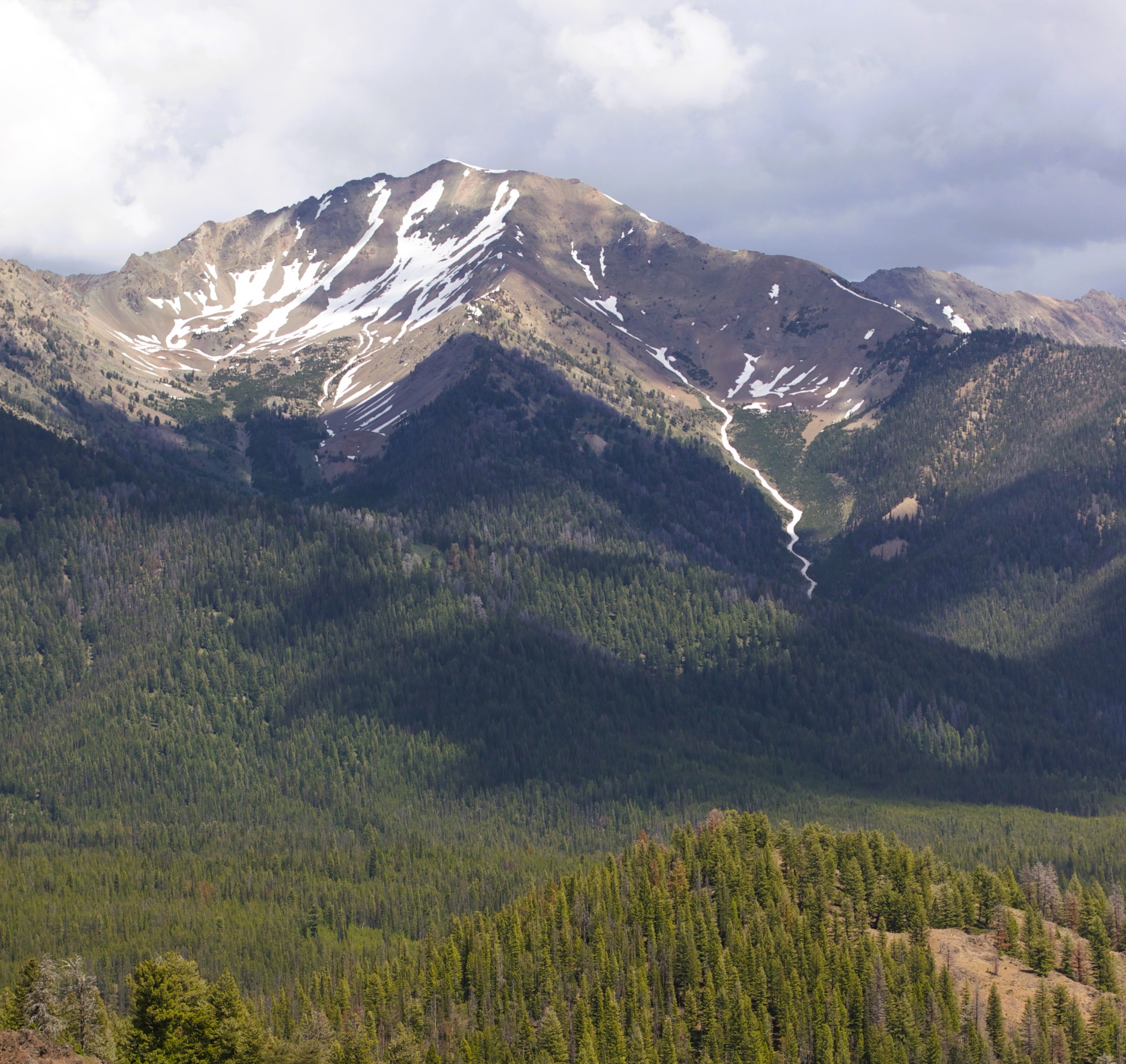
This is short in distance but extremely steep, gaining roughly 3,300–3,500 ft in less than 3 miles. The route is on a faint or unofficial climber’s path, not a fully signed maintained hiking trail.
Why it is essential
Galena Peak is one of the most accessible 11,000 ft summits in the Boulder Mountains and a natural viewpoint above Galena Summit, the Sawtooth Valley approach and the Boulder / White Cloud skyline.
Equipment
- Boots or grippy approach shoes
- Trekking poles
- Offline topo / GPS
- Sun protection
- Wind / rain shell and warm layer
- Gloves for rock
- Plenty of water
- Headlamp
Hazards and notes
- Steep forested terrain, faint tread, loose rock and talus.
- Route-finding required; wind, snow patches and lightning exposure at altitude.
- Some AllTrails reviews mention scrambling / off-trail feel and difficulty staying exactly on route.
- Do not attempt in poor visibility unless confident with navigation.
GPX / route file
| Source | URL | Format | Notes |
|---|---|---|---|
| AllTrails — Galena Peak | alltrails.com | Source map / proprietary trail database | Direct GPX not retrieved; do not reuse geometry without licence/export authorisation |
| IdahoSummits — Galena Peak | idahosummits.com | Route description / trip stats | Use for access and stat cross-check |
| Idaho: A Climbing Guide — Galena Peak | idahoaclimbingguide.com | Peak / source-map page; mentions GPS tracks | Site terms not checked; confirm track terms before reuse |
| OpenStreetMap search | openstreetmap.org | Source map | Reusable only under ODbL terms with attribution/share-alike |
Sources
- AllTrails — Galena Peak
- IdahoSummits — Galena Peak
- Idaho: A Climbing Guide — Galena Peak
- Colorado Ascents — Galena Peak GPS-stat cross-check
- Sawtooth Society — SNRA geography overview
5. Boulder Creek Road to Boulder City and Boulder Lake
Snapshot
Itinerary
Start low on Boulder Creek Road if vehicle clearance or road conditions are uncertain; the exact walking distance varies with how far one can safely and legally drive. Follow the rough road up Boulder Creek through forest, open meadows, creek crossings, waterfalls and increasingly rocky roadbed. The route reaches the historic Boulder City / Golden Glow Mill area and continues toward Boulder Lake. Return by the same road.
Trails Offroad describes Boulder Creek Road as leading to the abandoned mining town of Boulder City and a secluded lake, with waterfalls, multiple crossings and a road that becomes harder where it turns into shale / rock with water running down the route. This catalogue treats it as a strenuous hike rather than an off-road driving objective.
Why it is essential
The culturally and historically important route of the set — mining remains, the old Boulder City basin, Boulder Lake and a close look at the rugged eastern Boulder Mountains above the Wood River Valley.
Equipment
- Boots and trekking poles
- Water shoes, or willingness to get feet wet
- Offline map / GPS
- Rain shell and warm layer
- Sun protection
- Extra water or treatment
- Headlamp and first-aid kit
- If starting higher by vehicle, use a high-clearance 4WD and be prepared to walk if the road deteriorates
Hazards and notes
- Active OHV / 4WD traffic; dust, loose rock and water running down the road.
- Creek crossings; unstable mining remains; possible open mine hazards.
- Late-lying snow and no reliable cell service.
- Do not enter mine tunnels or unstable structures.
- Give motorised users room on the narrow road.
GPX / route file
| Source | URL | Format | Notes |
|---|---|---|---|
| AllTrails — Boulder Creek Road | alltrails.com | Source map / proprietary trail database | Direct GPX not retrieved; do not reuse geometry without licence/export authorisation |
| Trails Offroad — Boulder Creek | trailsoffroad.com | Source map / off-road route page | Direct route file not retrieved; use as context only unless export terms are checked |
| OpenStreetMap search | openstreetmap.org | Source map | Reusable only under ODbL terms with attribution/share-alike |
Sources
- AllTrails — Boulder Creek Road
- Trails Offroad — Boulder Creek
- Idaho Magazine — Boulder Basin history
- Sawtooth Society — SNRA trail-map resources
Further reading
- Sawtooth National Forest — hiking opportunities
- Sawtooth National Forest — current conditions
- Hemingway-Boulders Wilderness — Wilderness.net
- Sawtooth Society — SNRA maps and resources
- Sawtooth Society — SNRA geography overview
- NWS — Red Flag Warning (Sawtooth Range / Northern Sawtooth NF fire-weather zone, checked 2026-07-17)
- Companion articles on this site: USA — Frank Church / River of No Return and USA — Salmon River Mountains, Idaho — the other two entries in the same Idaho Batholith / Central Idaho Mountains taxonomy.
Missing data / follow-up work
- No official USFS GPX or KML downloads were retrieved for the selected routes; route-file status rests on AllTrails, onX, IdahoSummits, Idaho: A Climbing Guide, Trails Offroad and OpenStreetMap.
- No OpenStreetMap route relations were confirmed for the selected hikes; the OSM search links are included for later manual tracing if desired.
- Most usable open photos located in this pass were regional Boulder Mountains images rather than route-specific trail photos; the cover uses a range view from Galena Summit. Normal AllTrails, blog and tourism images were not reused because explicit compatible licences were not verified.
- Boulder Creek Road distances vary with where a hiker parks and how far vehicles can safely travel; this article uses the AllTrails connector out-and-back record while noting the public AllTrails point-to-point presentation.
- Ryan Peak’s early-season snow, and the West Fork North Fork Big Wood turnaround, both need field confirmation before publication.