Regional overview
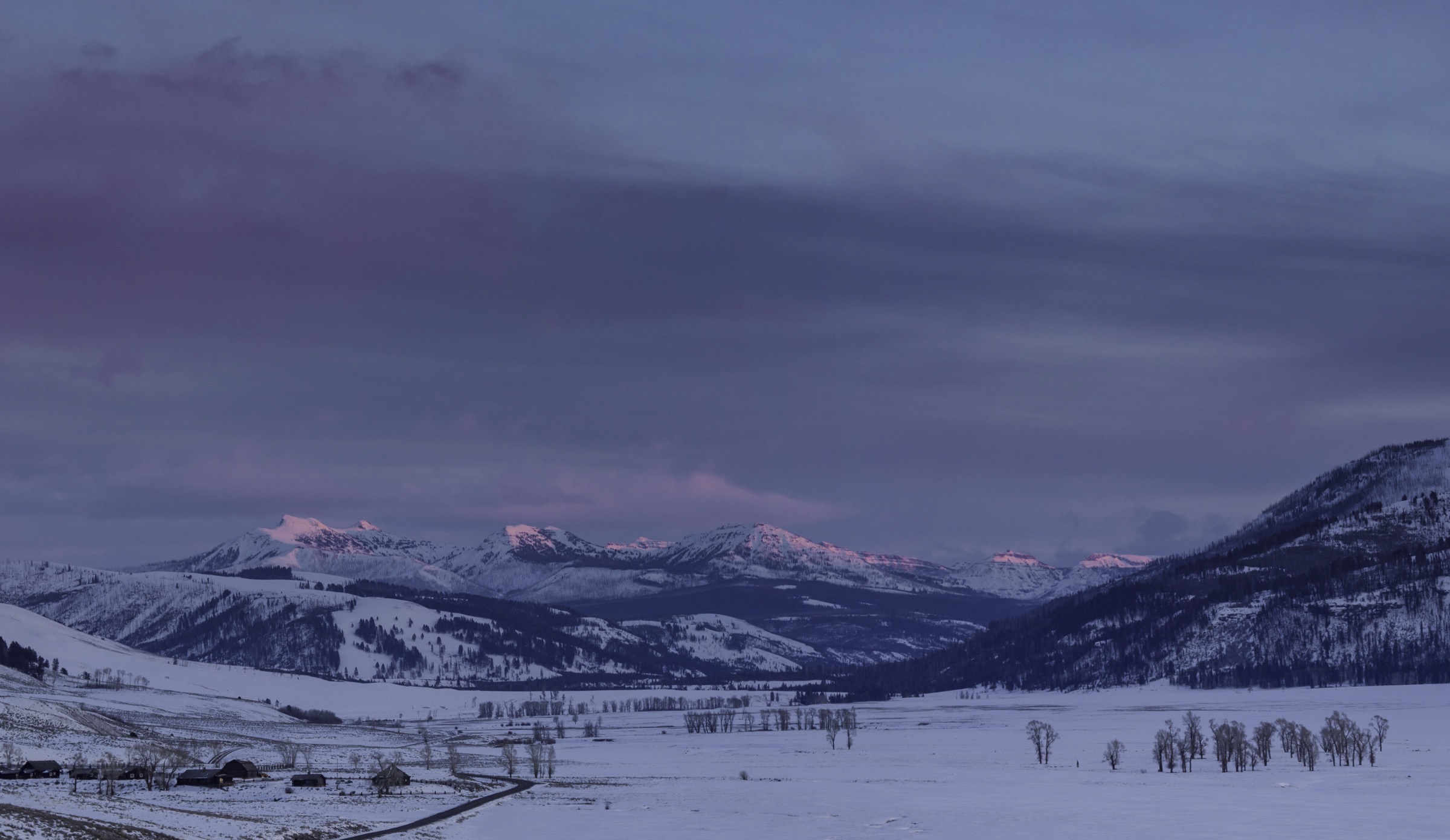
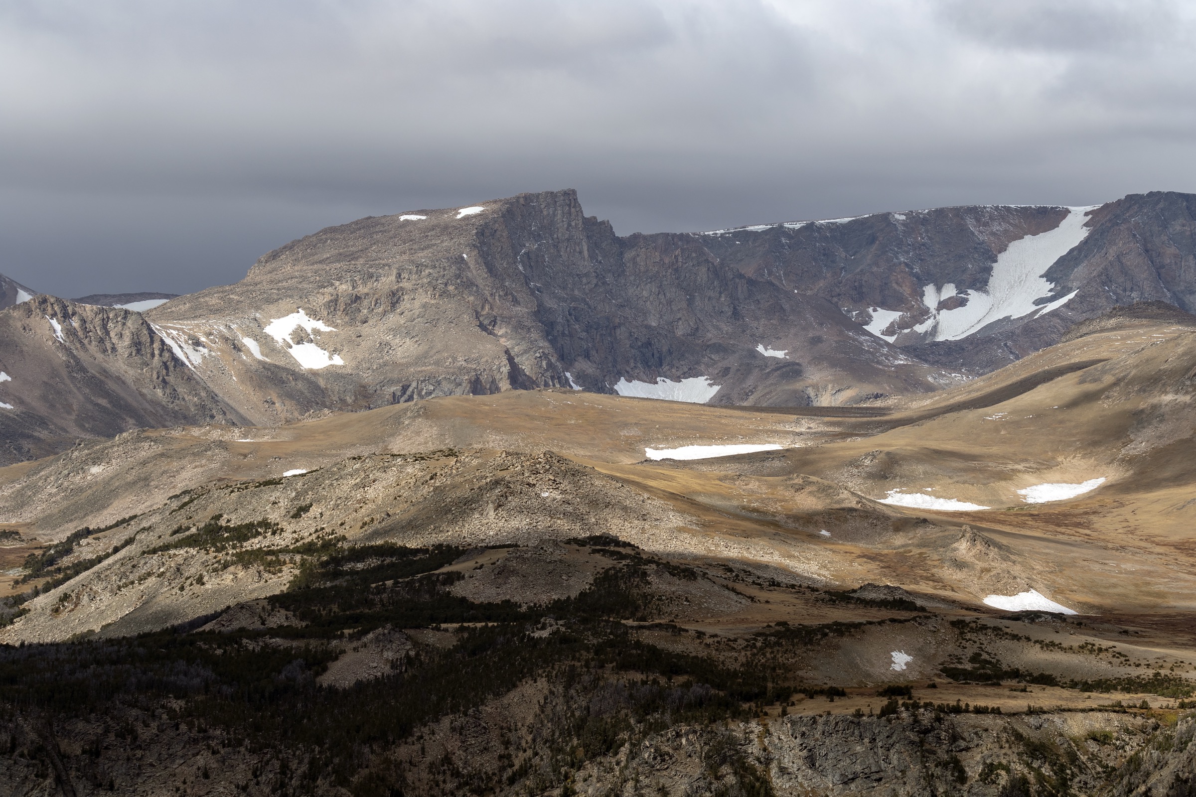
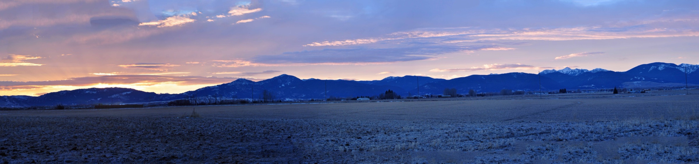
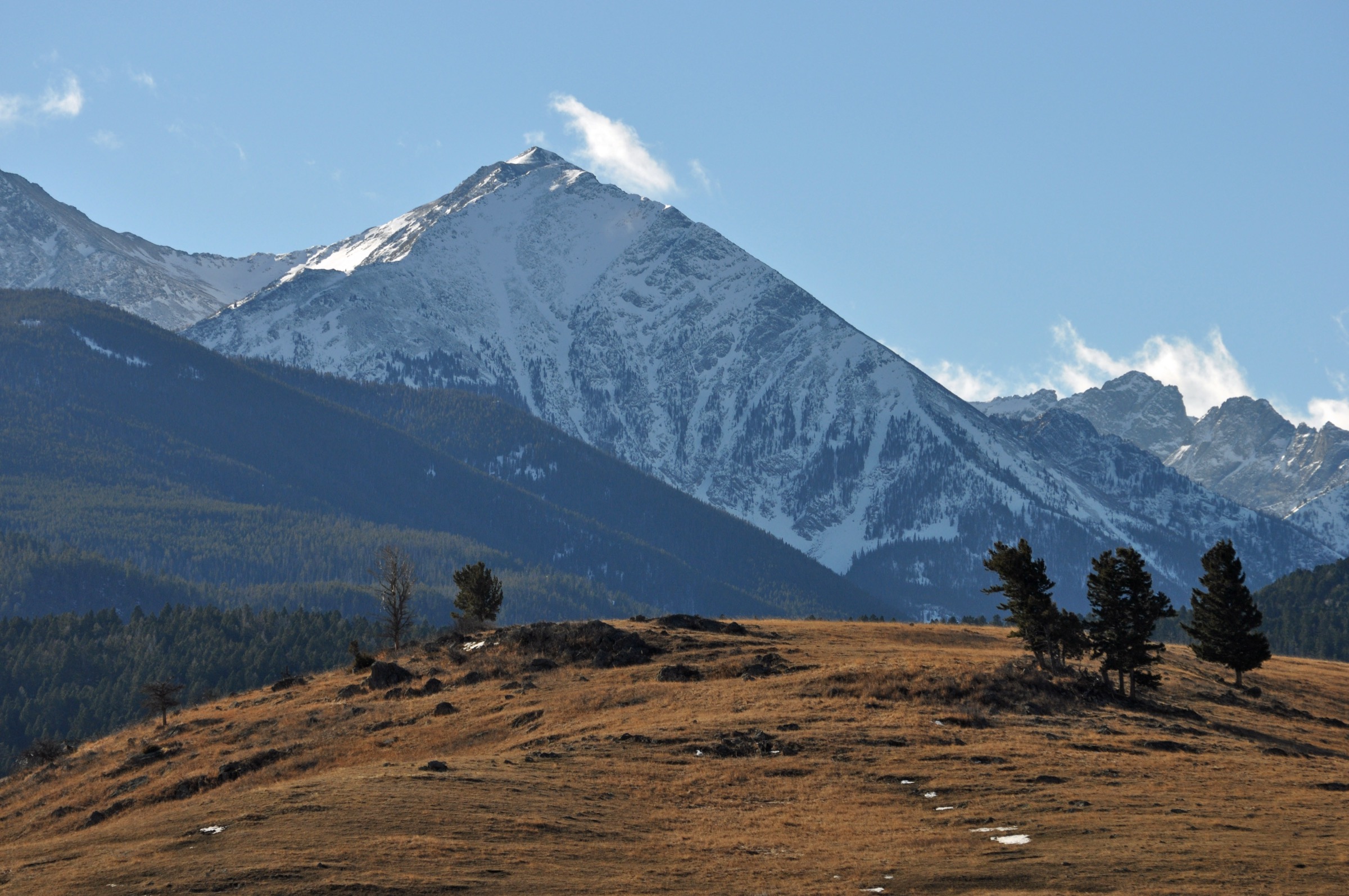
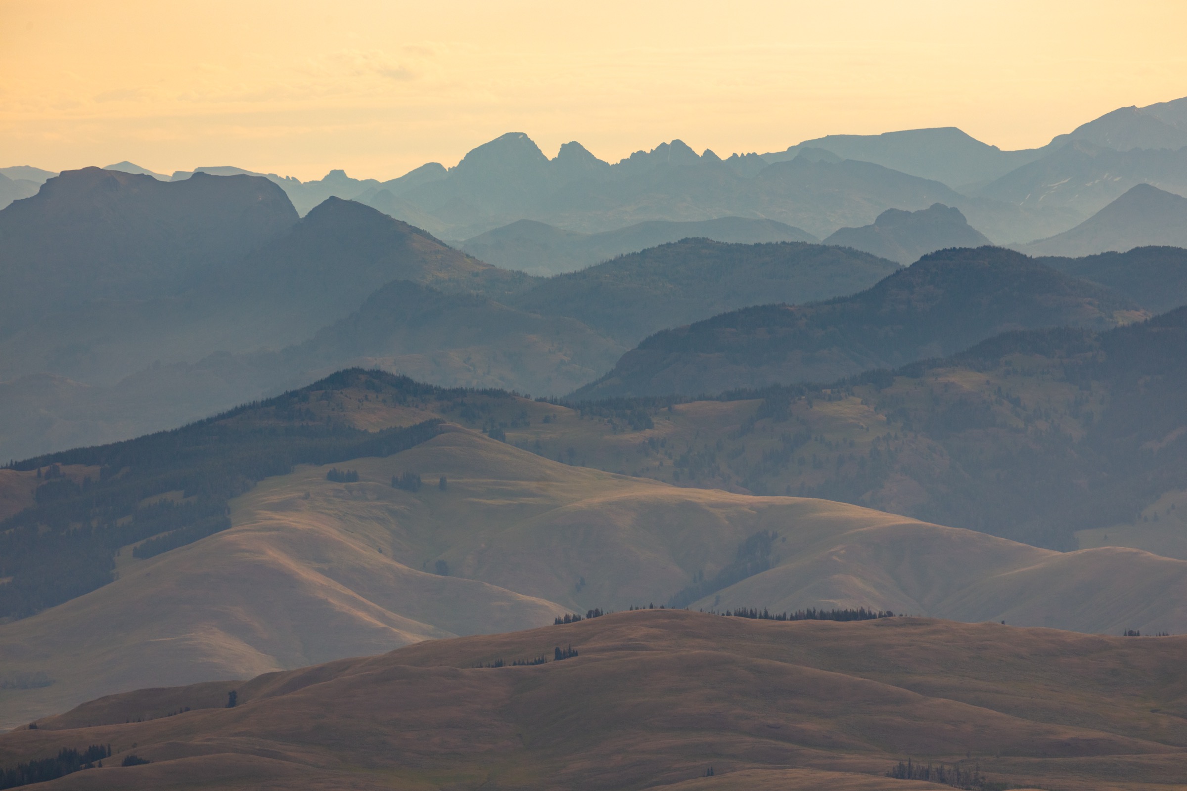
The Absaroka Range forms the volcanic, wildlife-rich eastern and north-eastern mountain wall of Greater Yellowstone, running from the eastern boundary of Yellowstone National Park north-east toward Cody, Wyoming, then south into the North Absaroka Wilderness, the Washakie Wilderness and, at the north-eastern rim of the park, the Absaroka–Beartooth Wilderness shared with the Beartooth Mountains. Geologically the range is dominated by the deeply eroded remnants of a middle-Eocene volcanic field — layered andesite, breccia and tuff crossed by dikes and sills — which gives the Absaroka its dark, layered summits and its long, radiating drainages. Above roughly 2,900 m the range hosts sustained alpine ridges, cirques and scree fields; below treeline it is a broad, bear-rich country of lodgepole pine, spruce–fir and open sage foothill.
Day-hike access is concentrated in three corridors. On the east side of Yellowstone National Park, the East Entrance Road between Cody and Fishing Bridge crosses the range at Sylvan Pass and gives trailhead access to the Avalanche Peak alpine summit. The Grand Loop Road between Canyon and Tower Junction runs over Dunraven Pass on the northern flank of the Washburn Range — a sub-range of the Absarokas that includes Mount Washburn — and gives the shortest approach to the summit fire lookout and to the Grand Canyon of the Yellowstone rim routes. Around Fishing Bridge and Lake Village, the Yellowstone Lake shoreline provides access to compact overlook walks such as Elephant Back Mountain. Outside the park, Wyoming-14/16/20 climbs west from Cody through the North Fork Shoshone River corridor and past the Cody-side foothill summits, including Heart Mountain in the Bighorn Basin front.
The reliable snow-free walking season above treeline is early July to early September; snow often lingers on the summit bowls until early July, and the entire high country sits in occupied grizzly-bear habitat where the Park Service and Shoshone National Forest guidance is to carry bear spray, hike in groups, make noise and observe food-storage rules. Afternoon thunderstorms and lightning are the dominant summer hazard on any exposed summit or ridge — parties should aim to be off the tops by midday during monsoon weeks. Autumn brings a concentrated pulse of grizzly activity around the eastern-park summits and canyon routes; the National Park Service specifically flags Avalanche Peak as not recommended in September or October because of that seasonal bear pattern.
Selection rationale
The five walks below cover the range’s most accessible essential day-hike types on the Greater Yellowstone side. Avalanche Peak is the steep alpine-summit day on the East Entrance corridor, with the biggest ascent in the selection and the closest thing to a genuine Absaroka summit day inside the park. Mount Washburn from Dunraven Pass is the historic viewpoint of the range’s northern volcanic sub-massif and one of Yellowstone’s best-known panoramas. Seven Mile Hole is the range’s essential canyon descent — a strenuous drop from the north rim of the Grand Canyon of the Yellowstone into the river gorge. Elephant Back Mountain covers the compact Yellowstone Lake overlook east of Lake Village. Heart Mountain, north of Cody, closes the selection with the iconic Absaroka-front foothill summit outside the park. The remote off-trail summits and long backpacking routes in the North Absaroka and Washakie wildernesses are treated separately and excluded here to keep the entry to accessible, well-documented day-hikes.
Summary
| # | Hike | Trailhead | Route type | Distance | Gain | Max elevation | Difficulty |
|---|---|---|---|---|---|---|---|
| 1 | Avalanche Peak | Eleanor Lake pullout, East Entrance Road | Out-and-back | ~6.8 km | ~640 m | ~3,221 m | Strenuous |
| 2 | Mount Washburn from Dunraven Pass | Dunraven Pass trailhead | Out-and-back | ~9.6 km | ~425 m | 3,115 m | Moderate–strenuous |
| 3 | Seven Mile Hole | Glacial Boulder pullout | Out-and-back | ~16.0 km | ~430–520 m | ~2,450 m | Strenuous |
| 4 | Elephant Back Mountain | Pullout south of Fishing Bridge Junction | Lollipop loop | ~5.6 km | ~244 m | ~2,470 m | Moderately strenuous |
| 5 | Heart Mountain | Heart Mountain trailhead, north of Cody | Out-and-back | ~12.0 km | ~760 m | ~2,476 m | Hard |
1. Avalanche Peak
Snapshot
Itinerary
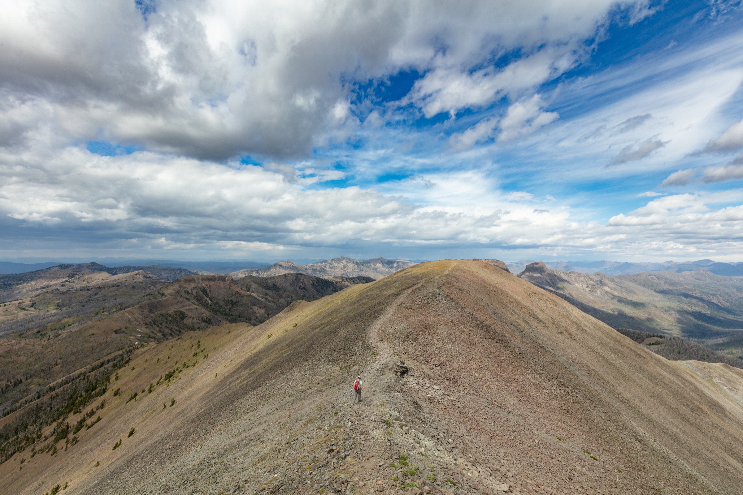
The route leaves the Eleanor Lake pullout at roughly 2,580 m on the East Entrance Road, crosses the highway and climbs steeply into spruce–fir forest. The National Park Service gives 2,100 ft of ascent in 2.1 mi to the summit — a sustained climb with almost no flat ground. The trail passes through open avalanche paths on the mountain’s west face, reaches the base of the summit bowl, then works up loose talus onto the upper flank. The final section is on a narrow, exposed summit ridge that the Park Service specifically flags as requiring extreme care. The 360° view from the summit takes in the whole eastern Absaroka wilderness, Yellowstone Lake to the west, and — on clear days — the Teton Range on the southern horizon. Descent reverses the route.
Why it is essential
Avalanche Peak is the clearest high, non-technical Absaroka summit day inside Yellowstone: short on distance, big on ascent, and with views straight into the remote eastern Yellowstone peaks that no other roadside trail in the park reaches.
Equipment
- Sturdy hiking boots or trail shoes — talus and a rocky summit ridge
- Trekking poles for the steep descent
- Warm layers, rain shell and a hat and gloves — the summit is cold and windy even in high summer
- Sun hat, high-SPF sunscreen and sunglasses — no shade above treeline
- Minimum 2 L water; no reliable water on route
- Bear spray, accessible on the pack
- Microspikes early in the season if snow lingers on the north-facing summit bowl
Hazards and notes
- Snow often persists on the summit bowl and ridge until early July; the route is technical when snowbound.
- Afternoon lightning is the dominant summer risk above treeline; be off the summit ridge by midday during monsoon weeks.
- Falling burned trees are noted by NPS along the lower forested section after Yellowstone’s recent wildfire years.
- Grizzly-bear activity is heaviest in autumn on the eastern park side; NPS does not recommend the hike in September or October.
- The final ridge is narrow and exposed — turn round if visibility, wind or ice make it unsafe.
- Dogs are not permitted on any Yellowstone trail.
GPX / route file
| Source | URL | Format | Notes |
|---|---|---|---|
| NPS Yellowstone — Avalanche Peak Trail | nps.gov | Web page | Official route description; no GPX exposed |
| AllTrails — Avalanche Peak Trail | alltrails.com | Web page | Distance and elevation cross-check only — proprietary geometry, do not reuse |
Sources
2. Mount Washburn from Dunraven Pass
Snapshot
Itinerary
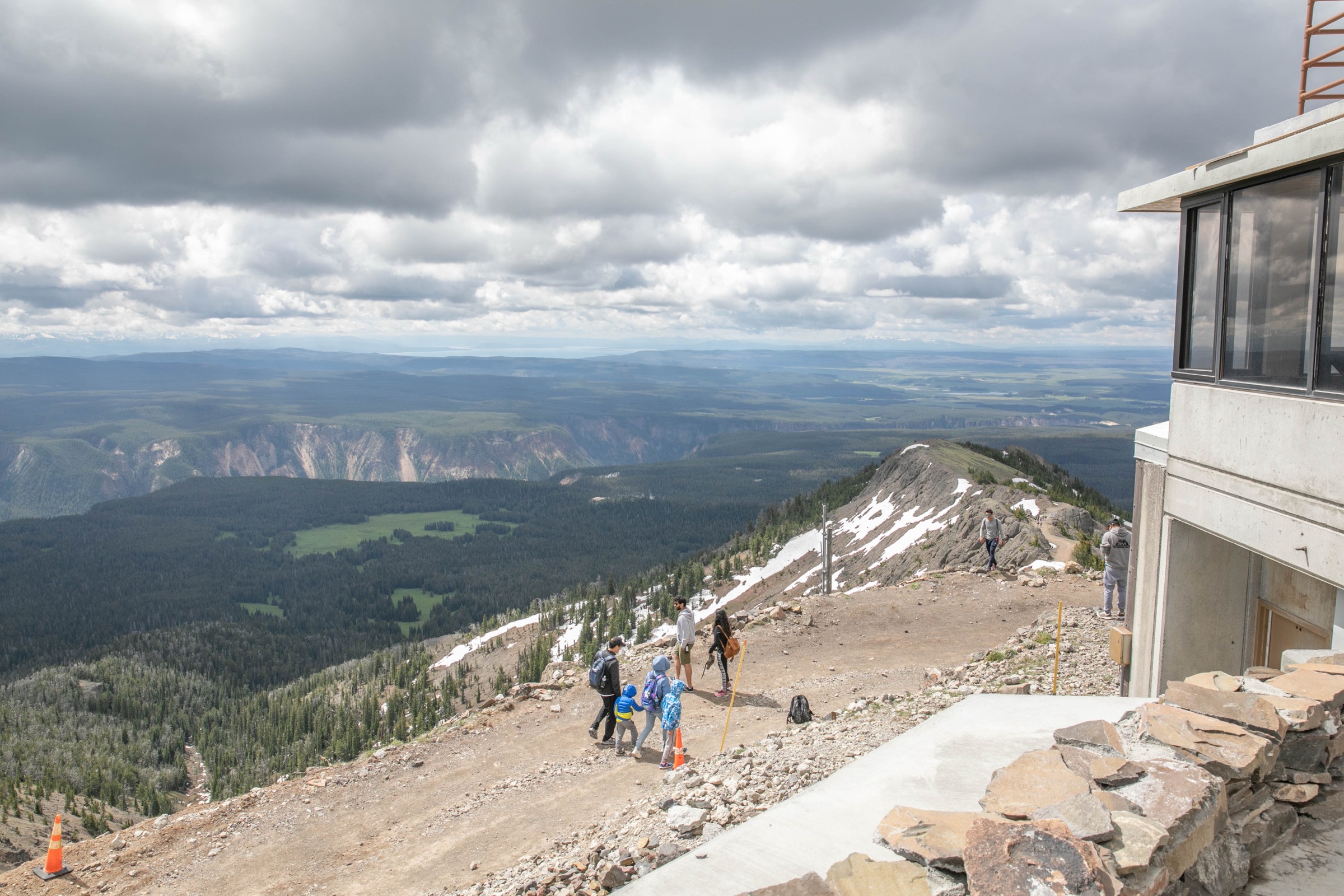
From Dunraven Pass at 2,690 m the trail climbs the graded old service road on the south flank of the Washburn massif, working through sub-alpine spruce–fir and open wildflower meadow. The summit fire lookout comes into view within the first kilometre and the tread stays on the ridge line, curving north-east to the Mount Washburn Fire Lookout at 3,115 m — a working lookout with an interpretive observation floor open to hikers during summer business hours. The panorama takes in the Yellowstone Caldera and Hayden Valley to the south, the Absaroka Range to the east, the Beartooth wall to the north-east, the Gallatin Range to the west, and — on clear days — the Teton Range on the southern horizon. Descent reverses the route.
Why it is essential
Mount Washburn is the historic named summit of the Washburn–Langford–Doane expedition of 1870 — the party whose report helped catalyse the creation of Yellowstone National Park — and one of the park’s most reliable big panoramas. The Dunraven Pass line is the shortest of the three approaches and stays on well-graded tread throughout, making it the most accessible summit day on the Absaroka side of the park.
Equipment
- Wind and rain layers plus a warm hat for the exposed summit
- Minimum 2 L water; no shade high on the mountain
- Sun hat, high-SPF sunscreen and sunglasses
- Sturdy trail shoes or boots; microspikes if early-season snow lingers on the north-facing switchbacks
- Bear spray on the pack
Hazards and notes
- Afternoon lightning on the summit ridge — pattern rules apply through the July and August monsoon window.
- No shade high on the mountain — heat and sun exposure can be significant.
- Expect crowds in high summer; the Dunraven Pass trailhead parking fills early.
- Check current NPS road and trail status before travel: the Dunraven Pass road and Washburn approaches have had construction and closure periods in recent years.
- Grizzly-bear activity is documented on the Washburn massif; carry spray.
- Dogs are not permitted on any Yellowstone trail.
GPX / route file
| Source | URL | Format | Notes |
|---|---|---|---|
| NPS Yellowstone — hiking (planning and conditions) | nps.gov | Web page | Official managing authority; no GPX exposed |
| AllTrails — Mount Washburn via Dunraven Pass | alltrails.com | Web page | Distance and elevation cross-check only — proprietary geometry, do not reuse |
Sources
3. Seven Mile Hole
Snapshot
Itinerary
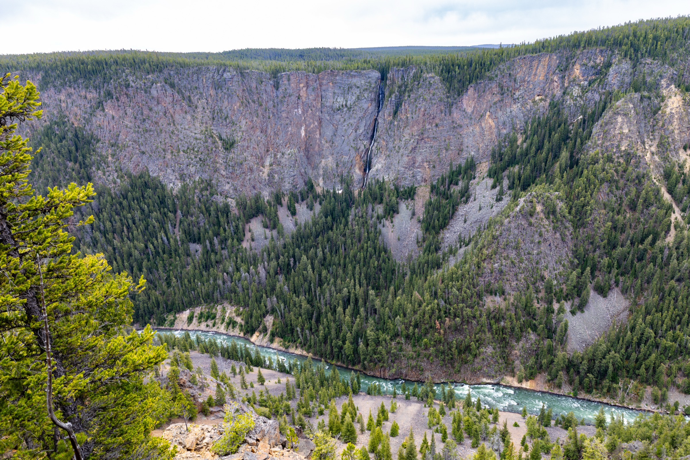
The route starts at the Glacial Boulder pullout on the north rim road toward Inspiration Point. It runs above the canyon on well-graded tread with early views across to Silver Cord Cascade on the south wall, then joins the Washburn Spur Trail for a short section before turning south down the Seven Mile Hole Trail. The descent proper drops more than 1,000 ft in the final 2.3 mi through burned and recovering forest, past active hydrothermal ground, to the Yellowstone River deep in the canyon. There is one small primitive backcountry campsite on the river bench; day hikers turn round here and reverse the route, with the return climb the crux of the day.
Why it is essential
Seven Mile Hole is the essential strenuous canyon route in the volcanic country on the Absaroka side of Yellowstone: a full descent from rim forest and thermal ground into the Yellowstone River gorge, and the walk that most directly experiences the canyon’s scale and geology from the river up rather than from the rim looking down.
Equipment
- 2.5–3 L water — the Yellowstone River is the only reliable water source and requires treatment
- Enough food for a long climb out
- Trekking poles for the descent and the return climb
- Rain and wind shell plus a warm layer
- Sun hat, sunscreen and sunglasses — sections of the descent are unshaded burned forest
- Sturdy footwear for loose canyon tread
- Bear spray on the pack
Hazards and notes
- Poor footing on the steep canyon sections; NPS specifically flags energy conservation on the return climb.
- Active hydrothermal ground crosses the lower section — stay on the trail, and treat any bare earth or discoloured ground as unsafe to step on.
- The Yellowstone River is the only reliable water source; carry treatment.
- Grizzly-bear presence is documented on the descent; carry spray and make noise.
- Afternoon storms on the rim add lightning and rain to an already energy-intensive climb out.
- Dogs are not permitted on any Yellowstone trail.
GPX / route file
| Source | URL | Format | Notes |
|---|---|---|---|
| NPS Yellowstone — Seven Mile Hole Trail | nps.gov | Web page | Official route description; no GPX exposed |
| AllTrails — Seven Mile Hole Trail | alltrails.com | Web page | Distance and elevation cross-check only — proprietary geometry, do not reuse |
Sources
4. Elephant Back Mountain

Snapshot
Itinerary
The trail climbs steadily from the Grand Loop Road pullout through dense lodgepole forest for 1.5 mi, gaining ~800 ft with no significant flat sections. After ~0.8 mi it splits into the loop, with the left fork the shorter route to the overlook. Both branches meet at the compact high viewpoint above Yellowstone Lake, with a broad open panorama across the lake to the volcanic ridges of the Absaroka Range beyond and the Absaroka Beartooth wall to the north-east. Descent completes the loop and rejoins the outbound trail for the drop back to the road.
Why it is essential
Elephant Back gives the compact Yellowstone Lake mountain overlook in the Absaroka-side park landscape: short enough for a half-day, but still a real climb through active bear-country lodgepole to a broad lake and mountain panorama with no equivalent on the surrounding road corridors.
Equipment
- Sturdy hiking shoes
- 1.5–2 L water
- Rain and wind shell
- Sun hat and sunscreen for the exposed overlook
- Bear spray, accessible on the pack
Hazards and notes
- Grizzly-bear awareness is specifically flagged by NPS on this route — carry spray and make noise on the climb.
- Afternoon lightning at the overlook — pattern rules apply through the monsoon window.
- Dead standing trees from past fire and beetle years can fall in high wind; avoid the route in storms.
- Dogs are not permitted on any Yellowstone trail.
GPX / route file
| Source | URL | Format | Notes |
|---|---|---|---|
| NPS Yellowstone — Elephant Back Mountain Trail | nps.gov | Web page | Official route description; no GPX exposed |
| AllTrails — Elephant Back Mountain Trail | alltrails.com | Web page | Distance and elevation cross-check only — proprietary geometry, do not reuse |
Sources
5. Heart Mountain
Snapshot
Itinerary
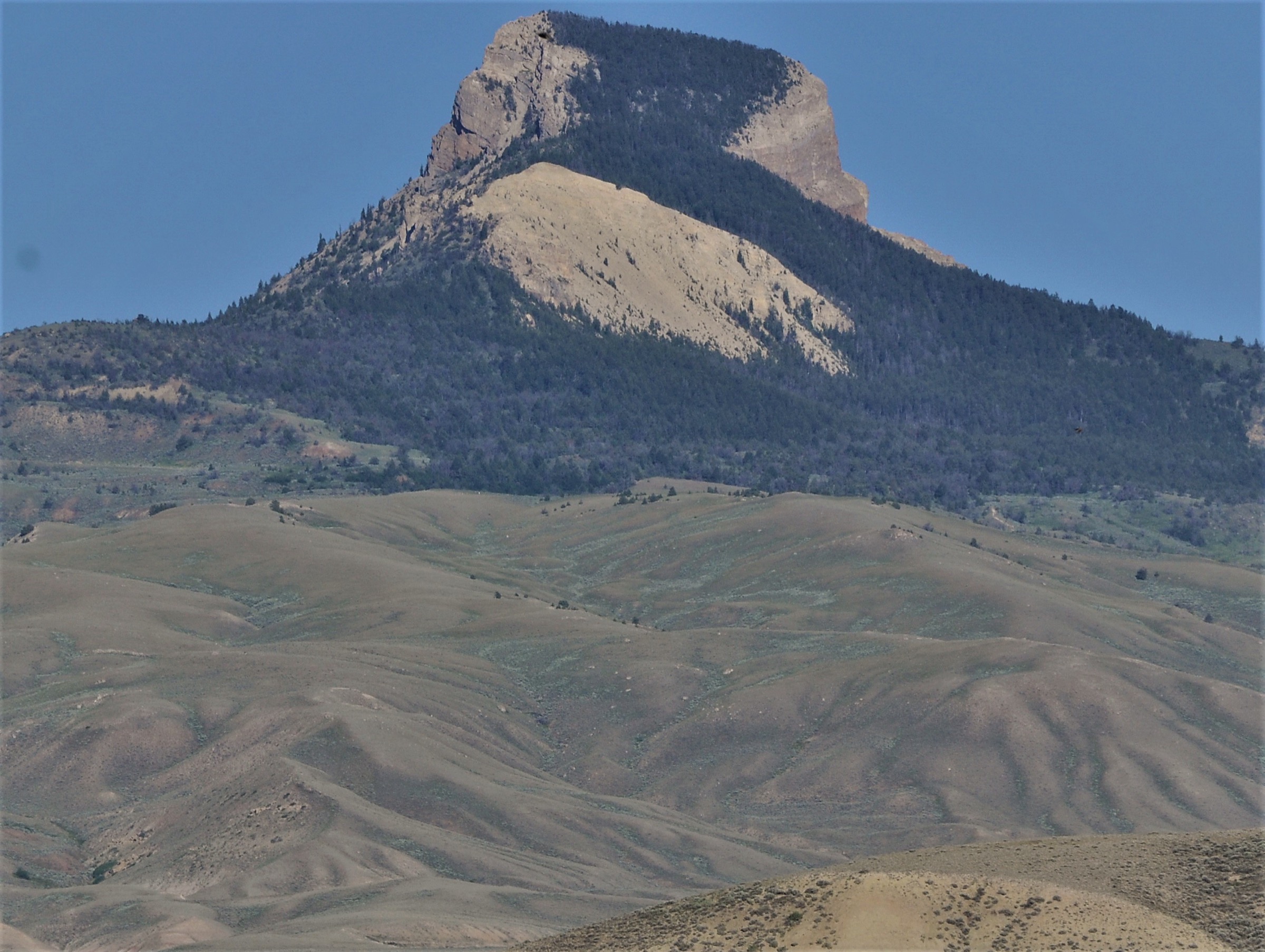
The route climbs the isolated Heart Mountain landform north of Cody, rising from sagebrush and mixed-grass foothills onto the steep flank of the mountain and then out onto the high, exposed summit ridge overlooking the Bighorn Basin, the Absaroka front to the west and the Beartooth wall to the north. The mountain is best known geologically as the type locality of the Heart Mountain detachment — one of the largest known low-angle thrust-fault detachments on land — and the summit ridge exposes some of the classic detached Paleozoic block above younger rock. The exact maintained-route description and current access rules should be reconfirmed locally before travel; this pass could not confirm a single official managing-agency route page and route statistics come from secondary databases only.
Why it is essential
Heart Mountain is the most recognisable Cody-side Absaroka-front foothill summit, with strong local identity, a distinct volcanic-and-fault landscape and a viewpoint that spans the whole eastern boundary of Greater Yellowstone. It is the natural non-park complement to the Yellowstone routes in this selection.
Equipment
- Sun hat, sunscreen and sunglasses — very little shade on the mountain
- 2.5–3 L water — no reliable water on the route
- Wind layer
- Sturdy footwear for steep grades
- Navigation (map / GPS) — maintained-route status was not fully confirmed in this pass
Hazards and notes
- Exposed heat and wind on the entire upper section — start early in summer.
- Rattlesnake potential in warm months on the lower slopes.
- Steep grades and little shade throughout.
- Follow any land-manager requests to avoid muddy conditions.
- Verify current access rules, parking and any seasonal or wildlife closures before travel.
- No public transport verified — private vehicle only.
GPX / route file
| Source | URL | Format | Notes |
|---|---|---|---|
| AllTrails — Heart Mountain Trail | alltrails.com | Web page | Secondary route source; proprietary geometry, do not reuse |
| Wikipedia — Heart Mountain (Wyoming) | en.wikipedia.org | Web page | Summit / geological context reference |
Sources
Routes excluded as out of scope
The following sit inside or adjacent to the Absaroka Range but fall outside a day-hike entry or are better treated in a neighbouring catalogue.
- North Absaroka Wilderness summits. A large area of remote, largely off-trail volcanic peaks north of the East Entrance corridor — worthwhile objectives, but multi-day expeditions with limited public route data rather than day-hikes.
- Washakie Wilderness peaks and passes. The large wilderness on the southern Absaroka side of Yellowstone is best treated as a backpacking region; individual summits normally require overnight approaches from the South Fork Shoshone or DuNoir corridors.
- Absaroka–Beartooth Wilderness (Beartooth-side routes). Covered in the sister catalogue for the Beartooth Mountains.
- Grand Canyon of the Yellowstone rim walks (South Rim, Uncle Tom’s, Brink of the Lower Falls). Enjoyable canyon-rim short walks near Canyon Village, but too short to carry the “essential day-hike” bracket on their own; treated as extensions of a Canyon Village visit.
- Cody-side North Fork Shoshone summits (Sleeping Giant, Table Mountain). Real Absaroka-front summits with strong day-hike character, but not covered in this initial pass; a follow-up entry could add them if licence-compatible photography and confirmed route data become available.
Further reading
| Source | URL |
|---|---|
| NPS Yellowstone — Avalanche Peak Trail | nps.gov |
| NPS Yellowstone — Seven Mile Hole Trail | nps.gov |
| NPS Yellowstone — Elephant Back Mountain Trail | nps.gov |
| NPS Yellowstone — hiking (planning and current conditions) | nps.gov |
| USFS Shoshone National Forest | fs.usda.gov |
| Storm — Beartooth Mountains, Montana and Wyoming | /guidebooks/usa-greater-yellowstone-central-rockies-greater-yellowstone-mountains-beartooth-mountains-essential-day-hikes |
| Storm — Yellowstone Plateau essential day-hikes | /guidebooks/usa-greater-yellowstone-central-rockies-greater-yellowstone-mountains-yellowstone-plateau-essential-day-hikes |
| Storm — Gallatin Range, Montana and Wyoming | /guidebooks/usa-greater-yellowstone-central-rockies-greater-yellowstone-mountains-gallatin-range-essential-day-hikes |
| Storm — Madison Range, Montana | /guidebooks/usa-greater-yellowstone-central-rockies-greater-yellowstone-mountains-madison-range-essential-day-hikes |
| Wikipedia — Mount Washburn | en.wikipedia.org |
| Wikipedia — Heart Mountain (Wyoming) | en.wikipedia.org |
| Wikipedia — Absaroka Range | en.wikipedia.org |
| AllTrails — Heart Mountain Trail (secondary route data) | alltrails.com |
| Wikimedia Commons — Category: Absaroka Range | commons.wikimedia.org |
| OpenStreetMap (ODbL 1.0) | openstreetmap.org |
Missing data / follow-up work
- No official NPS or USFS GPX/KML files are published for the Absaroka routes covered here; route geometry can be exported from OpenStreetMap or CalTopo for planning.
- Avalanche Peak, Mount Washburn, Elephant Back and Seven Mile Hole distances and gain figures are NPS-derived, but the summit and rim elevations used here are map-derived rather than stated on the current NPS route pages — confirm against local topographic mapping before travel.
- Heart Mountain route statistics come from secondary route databases only; a single authoritative managing-agency route page (Bureau of Land Management, Nature Conservancy or Shoshone National Forest) could not be confirmed in this pass, and the maintained-route status, current access rules and any seasonal closures should be reconfirmed locally before travel.
- Grizzly-bear activity on both the park and Cody sides of the range is well documented; NPS and the Shoshone National Forest should be consulted for current bear-management updates before any trip, and Avalanche Peak in particular should be treated as off-list for September and October per NPS guidance.
- A duplicate catalogue at the previous taxonomy slug —
usa-greater-yellowstone-central-rockies-absaroka-range-essential-day-hikes(no “greater-yellowstone-mountains” mid-region) — remains in the repository from an earlier pass; this article supersedes it, and the old slug and its cover image should be reconciled or removed once confirmed. - Route-specific photographs for the Cody-side foothill summits (Heart Mountain, Sleeping Giant, Table Mountain) are thin on Wikimedia Commons; the single Heart Mountain image used here is a broad landform view rather than a route photograph, and route-specific imagery may become available on future passes.