Regional overview
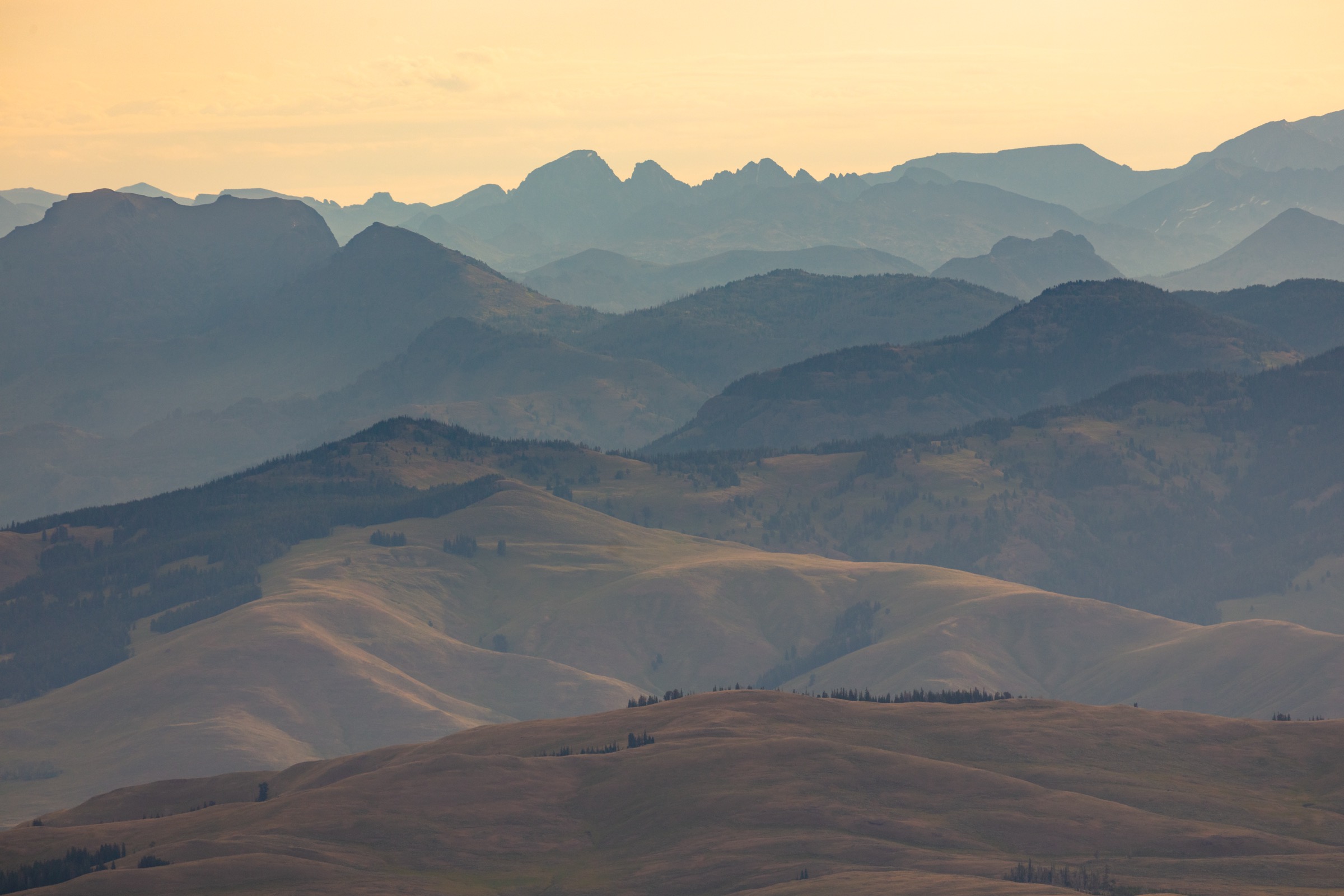
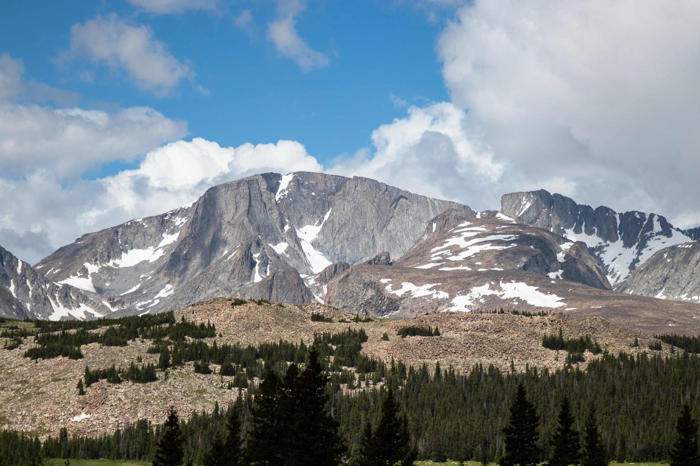
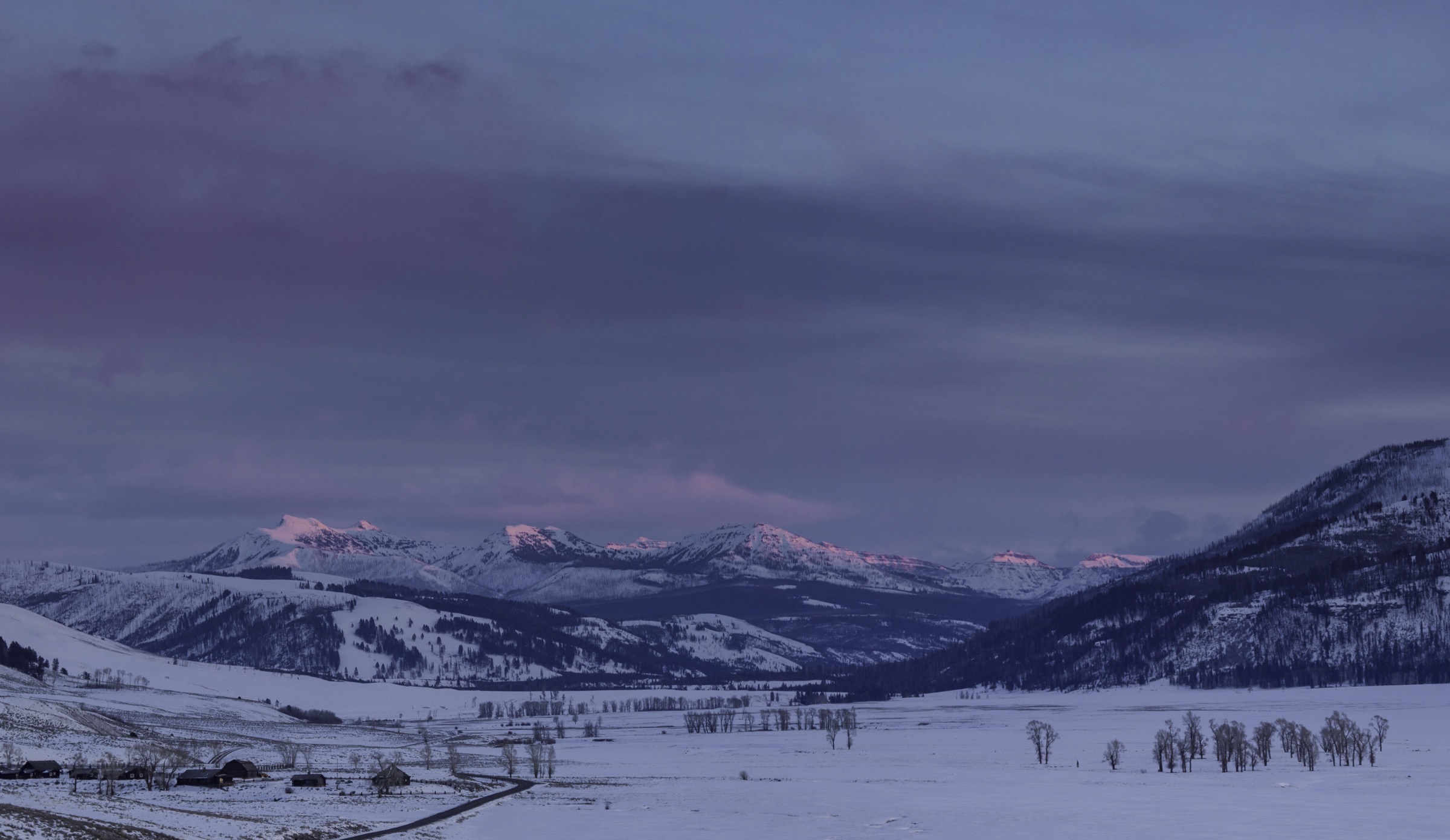
The Absaroka Range forms the volcanic, wildlife-rich eastern and north-eastern mountain wall of Greater Yellowstone, extending from the boundary of Yellowstone National Park north-east toward Cody, then south into the North Absaroka and Washakie wildernesses and up to the Absaroka–Beartooth Wilderness boundary at the Beartooth front. The walking character is a mix of steep volcanic summits, canyon descents, Yellowstone Lake viewpoints, high bear-country lodgepole forest, and exposed ridges where late-lying snow, afternoon lightning, loose talus, and grizzly-bear activity are the dominant planning factors.
This selection deliberately uses several Yellowstone National Park routes because they are the most officially documented and broadly recognised day hikes on the Absaroka side of the Greater Yellowstone area. More remote Absaroka summit hikes exist, particularly in the Washakie and North Absaroka wildernesses and out of the Cody-side trailheads, but many become long off-trail or backpacking objectives and have weaker public route data. Where non-NPS routes are included, the summit identity, general access and hazards are given from public references, and route statistics are flagged where they are secondary or approximate rather than officially published.
See also: Absaroka Range, Wyoming and Montana · Laramie Range, Wyoming.
Selection rationale
Five hikes cover the range’s most accessible essential day-hike types: a steep alpine summit on the East Entrance road (Avalanche Peak), the historic Mount Washburn viewpoint from Dunraven Pass (Mount Washburn), the strenuous descent into the Grand Canyon of the Yellowstone (Seven Mile Hole), a compact overlook above Yellowstone Lake (Elephant Back Mountain), and an iconic Cody-side foothill summit (Heart Mountain). Route statistics are official where the National Park Service publishes them; Heart Mountain distance and gain, and several maximum-elevation figures, are secondary or approximate and should be reconfirmed against local maps before travel.
The North Absaroka summits and long backpacking routes out of the Washakie Wilderness are treated separately and excluded here to keep the entry to accessible, well-documented day-hikes.
Summary
| # | Hike | Trailhead | Route type | Distance | Gain | Max elevation | Difficulty |
|---|---|---|---|---|---|---|---|
| 1 | Avalanche Peak Trail | Eleanor Lake pullout, East Entrance Road | Out-and-back | 6.8 km | 640 m | c. 3,221 m | Strenuous |
| 2 | Mount Washburn from Dunraven Pass | Dunraven Pass trailhead | Out-and-back | 9.6 km | 425 m | 3,115 m | Moderate–strenuous |
| 3 | Seven Mile Hole Trail | Glacial Boulder pullout | Out-and-back | 16.0 km | c. 430–520 m | c. 2,450 m | Strenuous |
| 4 | Elephant Back Mountain Trail | Pullout south of Fishing Bridge Junction | Lollipop loop | 5.6 km | 244 m | c. 2,470 m | Moderately strenuous |
| 5 | Heart Mountain Trail | Heart Mountain trailhead, north of Cody | Out-and-back | c. 12.0 km | c. 760 m | c. 2,476 m | Hard |
1. Avalanche Peak Trail
Snapshot
Itinerary
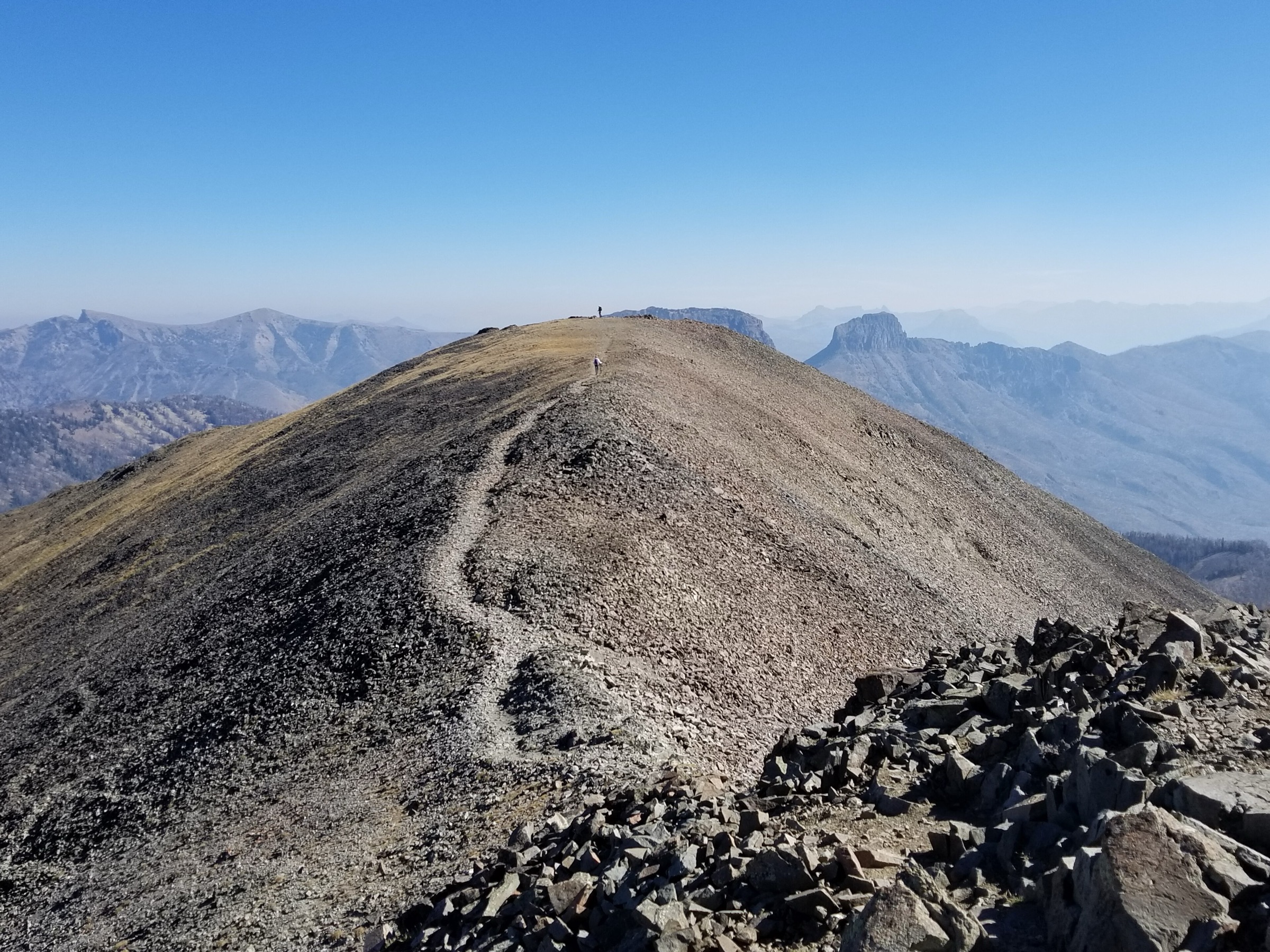
From the Eleanor Lake pullout, the trail crosses the East Entrance Road and climbs immediately into forest. NPS describes a steep ascent of 2,100 ft in 2.1 mi, first to the base of Avalanche Peak’s bowl, then over talus slopes to open ground below the summit. The final section reaches a narrow ridgeline that NPS specifically says to cross with extreme caution. Return is by the same route.
Why it is essential
Avalanche Peak is Yellowstone’s clearest high, non-technical Absaroka summit day: short on distance, big on ascent, and with views straight into the remote eastern Yellowstone peaks and back across the Yellowstone Lake basin.
Equipment
- Mountain layers, rain gear, hat and gloves (summit conditions can be near freezing even in July)
- 2 L water — none reliable on the route
- Sun protection above treeline
- Traction (microspikes) if snow lingers on the summit bowl
- Sturdy footwear for the talus and the final ridgeline
Hazards and notes
- Snow often persists on the summit bowl until early July.
- Afternoon lightning is a severe hazard above treeline; be off the summit ridge by midday during monsoon season.
- Falling burned trees are noted by NPS along the lower forested section after wildfire years.
- Grizzly-bear activity is heaviest in autumn; NPS does not recommend the hike in September or October.
- Pets are not allowed on Yellowstone trails.
2. Mount Washburn from Dunraven Pass
Snapshot
Itinerary
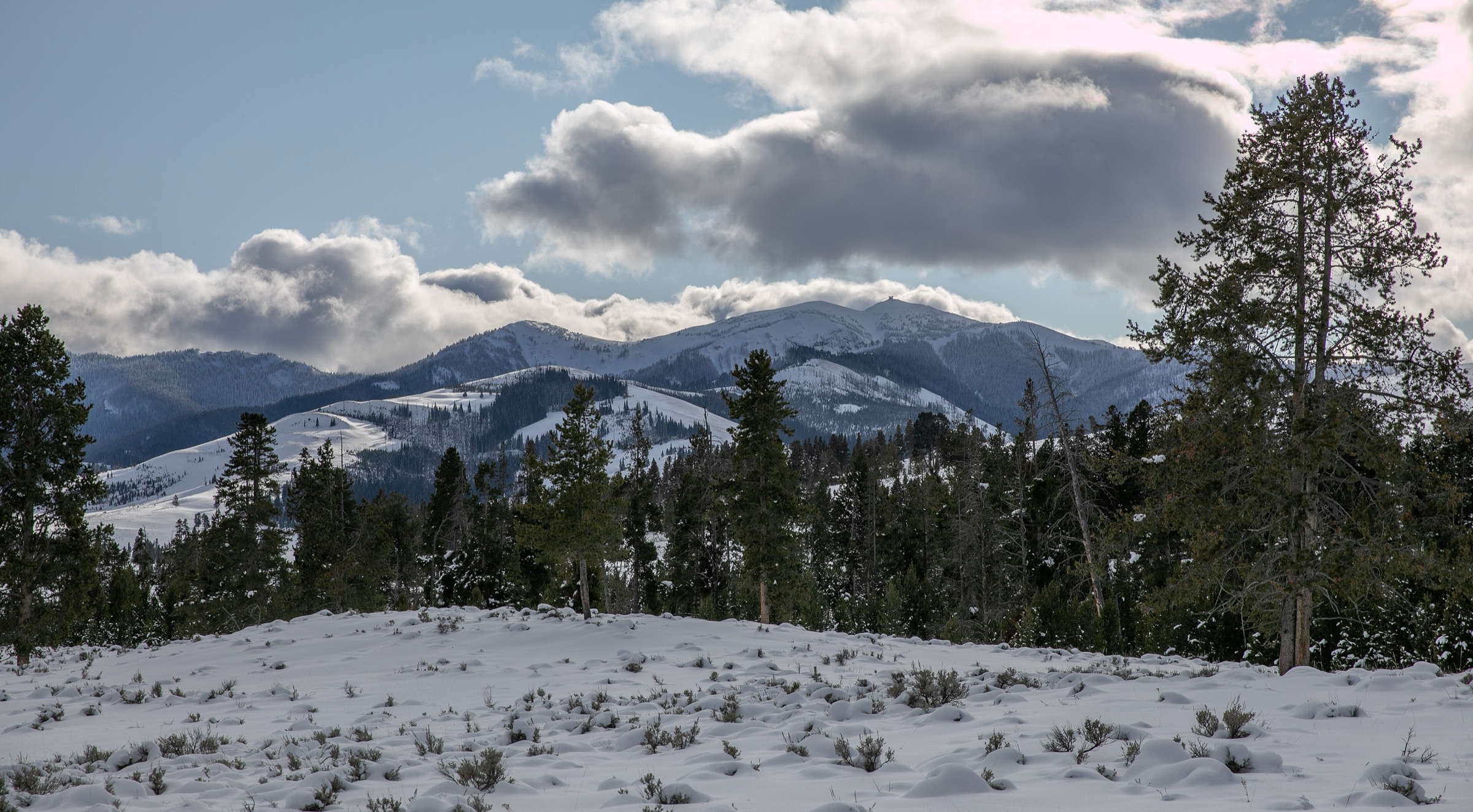
From Dunraven Pass, the trail climbs open slopes and switchbacks toward the Mount Washburn summit lookout. The route is one of Yellowstone’s classic panoramic hikes, with views into the Grand Canyon of the Yellowstone, the northern park, the Gallatin Range, the Yellowstone Lake area, and — on clear days — the Tetons far to the south. Return is by the same trail.
Why it is essential
Mount Washburn is the historic named summit of the Washburn–Langford–Doane expedition and one of Yellowstone’s best-known mountain viewpoints. It is explicitly listed as part of the Absaroka Range in current mountain references, and the Dunraven Pass line is the shortest of the three approaches.
Equipment
- Wind and rain layers, warm clothing for the exposed summit
- 2 L water — no shade high on the mountain
- Sun protection
- Sturdy footwear; microspikes if early-season snow lingers on the north-facing switchbacks
Hazards and notes
- Expect crowds in summer and exposed weather on the entire upper slope.
- No shade high on the mountain — heat and sun exposure can be significant.
- Check current NPS road and trail status before travel: the Dunraven Pass road and Washburn approaches have had construction and closure periods in recent years.
- Afternoon lightning risk on the summit — be off by midday during monsoon season.
- Pets are not allowed on Yellowstone trails.
3. Seven Mile Hole Trail
Snapshot
Itinerary
The route starts near the canyon rim, with early views across the Grand Canyon of the Yellowstone toward Silver Cord Cascade. It joins the Washburn Spur Trail, then turns down the Seven Mile Hole Trail, which NPS says drops more than 1,000 ft in 2.3 mi. The destination is the Yellowstone River deep in the canyon; return is by climbing back to the rim.
Why it is essential
This is the essential strenuous canyon route on the Absaroka volcanic side of Yellowstone: a full descent from rim forest and thermal ground into the Yellowstone River canyon, and the walk that most directly experiences the canyon’s scale and geology from the river up.
Equipment
- 2.5–3 L water — the Yellowstone River is the only reliable water source, and it requires treatment
- Enough food for a long climb out
- Trekking poles for the descent and the return climb
- Rain layer and sun protection
- Sturdy footwear for loose canyon tread
Hazards and notes
- Poor footing on the steep canyon sections; NPS specifically flags energy conservation on the return climb.
- Thermal ground and hot springs cross the lower section — stay on the trail.
- The Yellowstone River is the only reliable water source on the route.
- Pets are not allowed on Yellowstone trails.
4. Elephant Back Mountain Trail
Snapshot
Itinerary
The trail climbs through dense lodgepole forest for 1.5 mi, gaining 800 ft. After 0.8 mi it splits into the loop, with the left fork the shorter route to the overlook. Both branches rejoin near the high viewpoint over Yellowstone Lake and the surrounding volcanic country before dropping back to the trailhead.
Why it is essential
Elephant Back gives the compact Yellowstone Lake mountain overlook in the Absaroka-side park landscape: short enough for a half-day, but still a real climb through bear-country lodgepole to a broad lake panorama.
Equipment
- Sturdy hiking shoes
- 1.5–2 L water
- Rain / wind layer
- Sun protection
- Bear spray and knowledge of its use
Hazards and notes
- Grizzly-bear awareness is specifically noted by NPS on this route.
- Afternoon lightning at the overlook — pattern rules apply.
- Pets are not allowed on Yellowstone trails.
5. Heart Mountain Trail
Snapshot
Itinerary
The route climbs the isolated Heart Mountain landform north of Cody, rising from sagebrush foothills to a high, exposed summit overlooking the Bighorn Basin and the Absaroka front. The exact maintained-route description and current access rules should be reconfirmed locally before travel — this pass could not confirm an official route page, and route statistics come from secondary databases only.
Why it is essential
Heart Mountain is one of the most recognisable Cody-side Absaroka foothill summits, with strong local identity and a distinct volcanic-front landscape that complements the Yellowstone park routes on the western side of the range.
Equipment
- Sun protection and sturdy sun cover — little shade on the mountain
- 2.5–3 L water
- Wind layer
- Sturdy footwear for steep grades
- Navigation (map / GPS) — the maintained-route status was not confirmed
Hazards and notes
- Exposed heat and wind on the entire upper section.
- Rattlesnake potential in warm months on the lower slopes.
- Steep grades and little shade throughout.
- Follow any land-manager requests to avoid muddy conditions.
- No public transport verified — private vehicle only.
Further reading
| Source | URL |
|---|---|
| NPS Yellowstone — Avalanche Peak Trail | nps.gov |
| NPS Yellowstone — Seven Mile Hole Trail | nps.gov |
| NPS Yellowstone — Elephant Back Mountain Trail | nps.gov |
| NPS Yellowstone — Hiking (planning and current conditions) | nps.gov |
| Wikipedia — Mount Washburn | en.wikipedia.org |
| Wikipedia — Heart Mountain (Wyoming) | en.wikipedia.org |
| Wikipedia — Absaroka Range | en.wikipedia.org |
| AllTrails — Heart Mountain Trail (secondary route data) | alltrails.com |
| Wikimedia Commons — Category: Absaroka Range | commons.wikimedia.org |
| OpenStreetMap (ODbL 1.0) | openstreetmap.org |