Regional overview
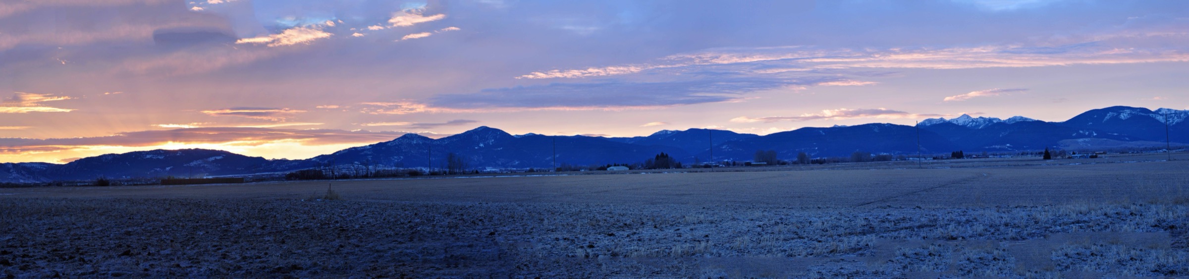
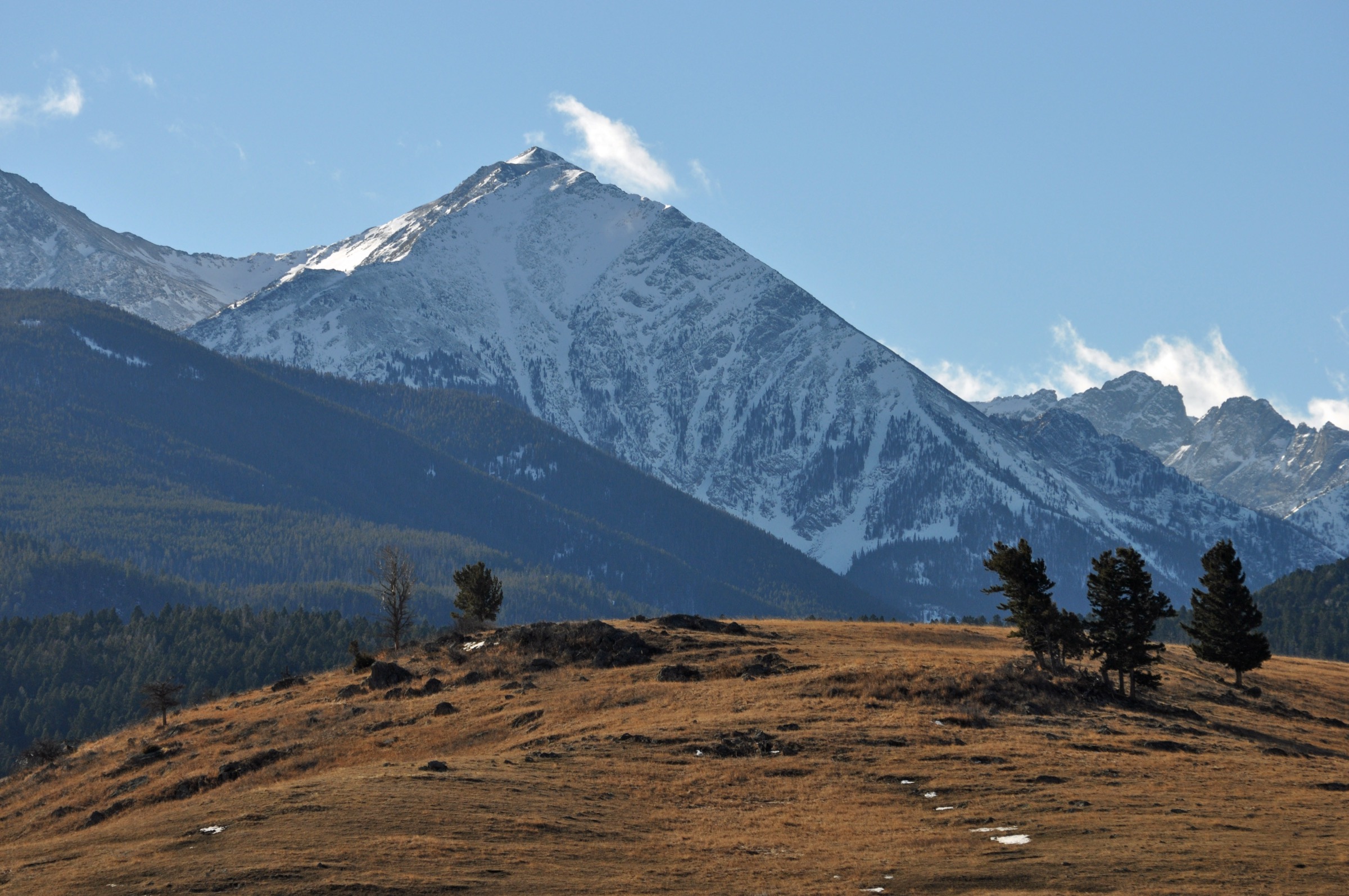
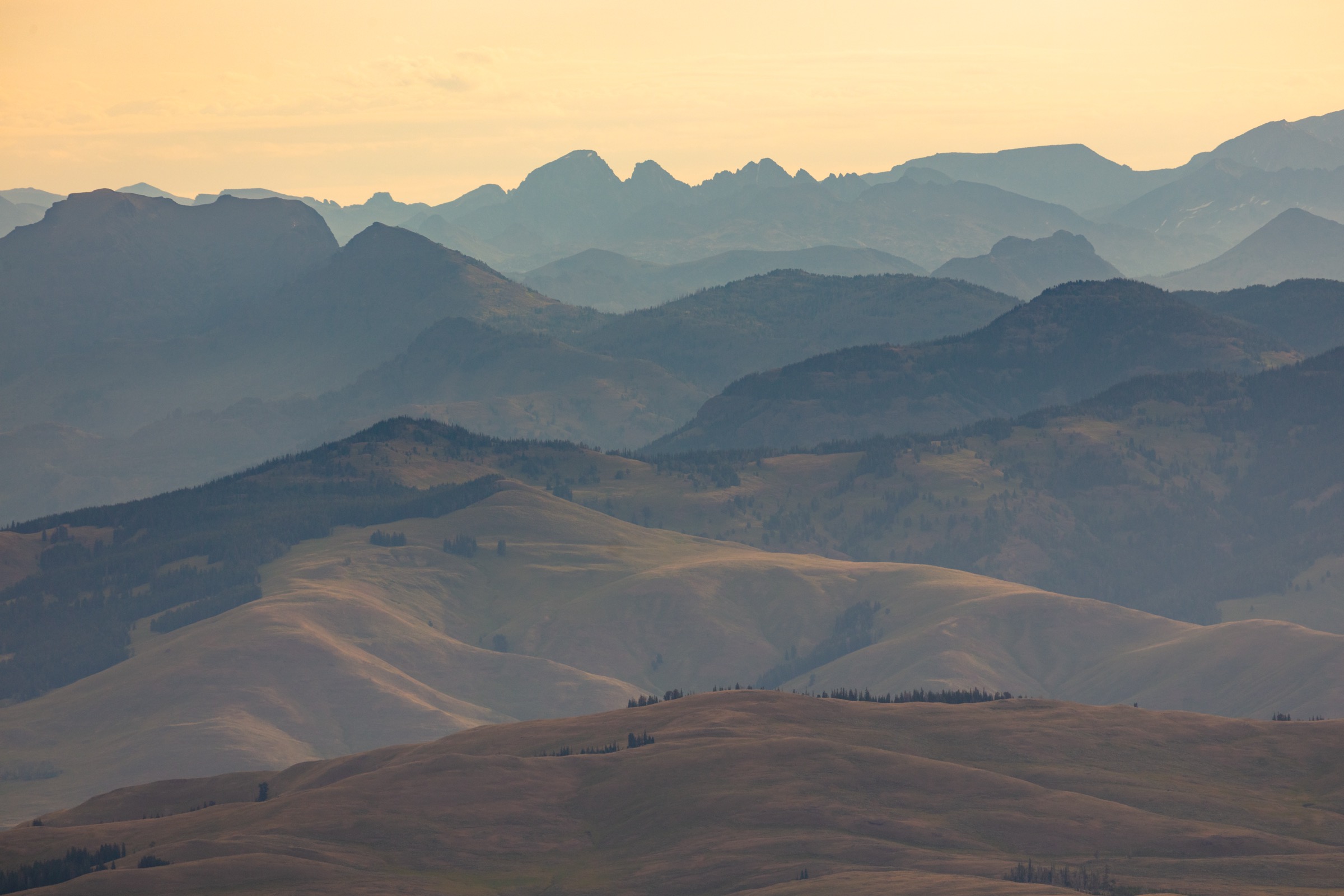
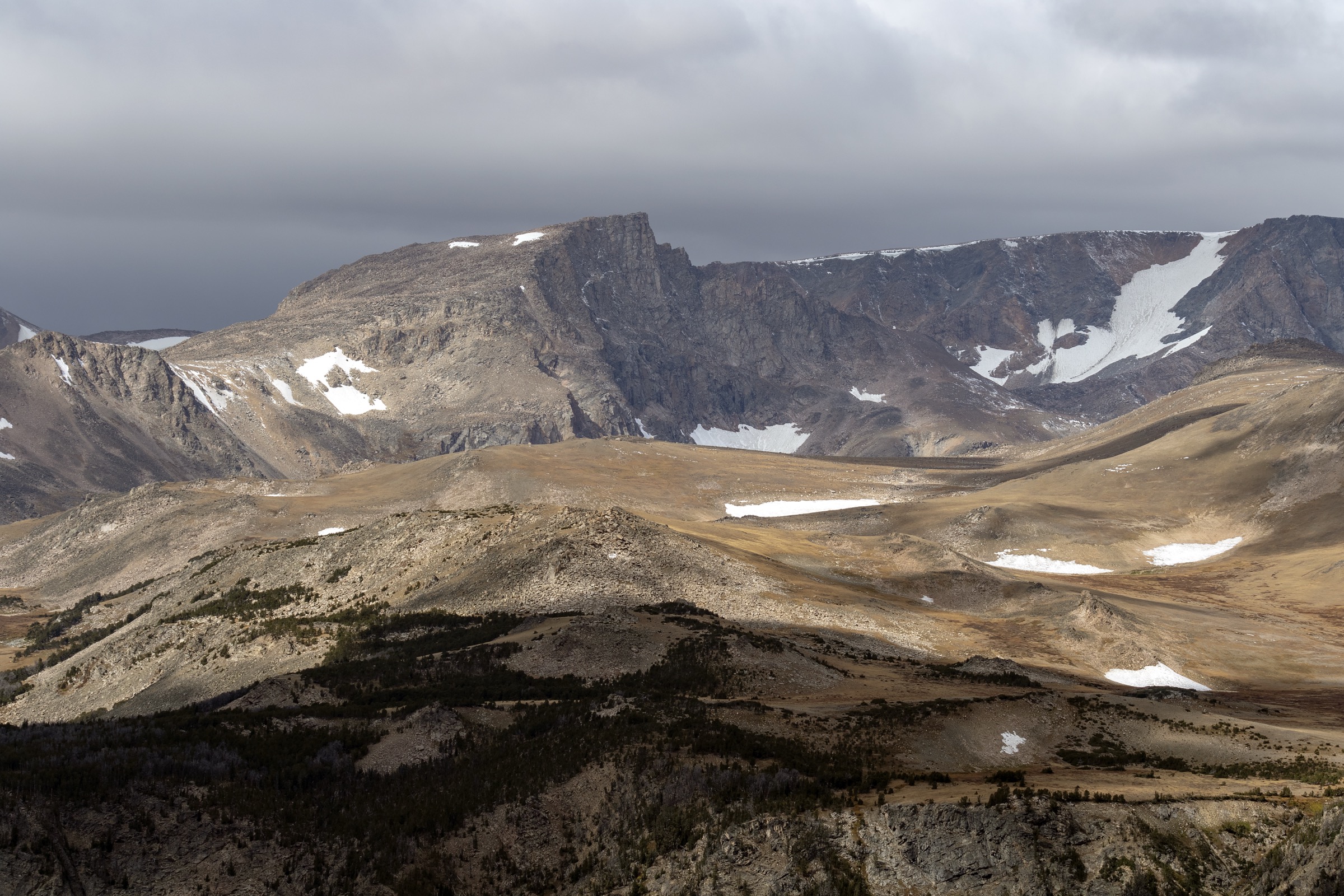
The Beartooth Mountains are the highest and most heavily glaciated range in Montana, straddling the Montana–Wyoming line at the north-east corner of the Greater Yellowstone Ecosystem. The range culminates at Granite Peak (3,904 m / 12,807 ft), Montana’s state high point, and holds more than twenty summits above 3,600 m on a broad, roadless uplift of ancient Precambrian granite and gneiss that geologists date to some of the oldest exposed rock in the United States. Above the timberline the range levels into the Beartooth Plateau — a rolling tundra tableland at roughly 3,000 m dotted with hundreds of glacially scoured lakes and tarns — before dropping in steep cliffs into the deep U-shaped valleys of Rock Creek, the East Rosebud, the West Rosebud and the Stillwater River.
Most of the high country lies within the Absaroka–Beartooth Wilderness (~944,000 acres, designated 1978), jointly administered by the Custer Gallatin National Forest on the Montana side and the Shoshone National Forest on the Wyoming side. Day-hike access is concentrated in three corridors. From Red Lodge, the Rock Creek and West Fork Rock Creek drainages give the range’s shortest approaches to alpine terrain and are the base for the Glacier Lake, Basin Lakes and northern Beartooth Plateau routes. From Fishtail and Roscoe the West Rosebud and East Rosebud roads climb west into the range at the head of long U-shaped valleys and provide the trailheads for Mystic Lake and the East Rosebud “Beaten Path”. Along the top of the range, the Beartooth Highway (US-212) — a National Scenic Byway that opens seasonally between Red Lodge and Cooke City — crosses the plateau at 3,337 m at Beartooth Pass and gives direct trailhead access to the Island Lake and Beartooth Lake basins on the Wyoming side.
The reliable snow-free walking season on the plateau and the high lake basins is late June to mid-September; the Beartooth Highway typically opens on the Friday of Memorial Day weekend and closes with the first sustained autumn storms, but snow squalls, ice and lightning are possible on the plateau in any summer month. Lower valley approaches from Red Lodge and East Rosebud open earlier and close later. The entire range sits in grizzly-bear country — both the Custer Gallatin and the Shoshone treat the Beartooth as active bear habitat, and standard practice is to carry spray, hike in groups, make noise and follow food-storage rules. Afternoon thunderstorms with lightning are the dominant summer risk on the plateau and on any exposed ridge; the June 2022 Yellowstone flood also washed out sections of the East Rosebud road and adjacent Beartooth Highway approaches, and confirmation of current road status with the managing forests before travel is now a standard part of trip planning.
Selection rationale
The five walks below cover the main day-hike faces of the Beartooths. Glacier Lake is the Red Lodge classic — the shortest walk into big Beartooth granite scenery on the Rock Creek side. Mystic Lake adds the West Rosebud valley signature: a large, dammed alpine lake at the head of the range’s biggest reservoir cirque. The East Rosebud walk to Elk Lake samples the celebrated “Beaten Path” through-trail on its first easy miles and is the flattest hike in the selection. Basin Lakes gives the West Fork Rock Creek face directly behind Red Lodge — a lake-and-forest walk in the range’s most accessible drainage. Island Lake to Beauty Lake closes the selection with the definitive Beartooth Plateau tundra walk from the top of the Beartooth Highway. Granite Peak was considered but is a technical mountaineering objective well beyond day-hike scope. The full 26-mile Beaten Path was excluded because it is a shuttle backpack, not a day-hike. Gardner Lake and Beartooth Lake were kept off the list because Island Lake covers the same plateau character with a more compact and route-defined day.
Summary table
| # | Hike | Country | Route type | Distance | Gain | Max elevation | Difficulty |
|---|---|---|---|---|---|---|---|
| 1 | Glacier Lake via Rock Creek | USA | Out-and-back | ~5.6 km | ~230 m | ~2,927 m | Moderate |
| 2 | Mystic Lake via West Rosebud | USA | Out-and-back | ~10.5 km | ~360 m | ~2,105 m | Moderate |
| 3 | East Rosebud to Elk Lake | USA | Out-and-back | ~11 km | ~180 m | ~1,950 m | Moderate |
| 4 | Basin Lakes | USA | Out-and-back | ~10 km | ~490 m | ~2,660 m | Moderate–hard |
| 5 | Island Lake to Beauty Lake | USA | Loop / out-and-back | ~9 km | ~135 m | ~3,050 m | Moderate |
1. Glacier Lake via Rock Creek
Snapshot
Itinerary
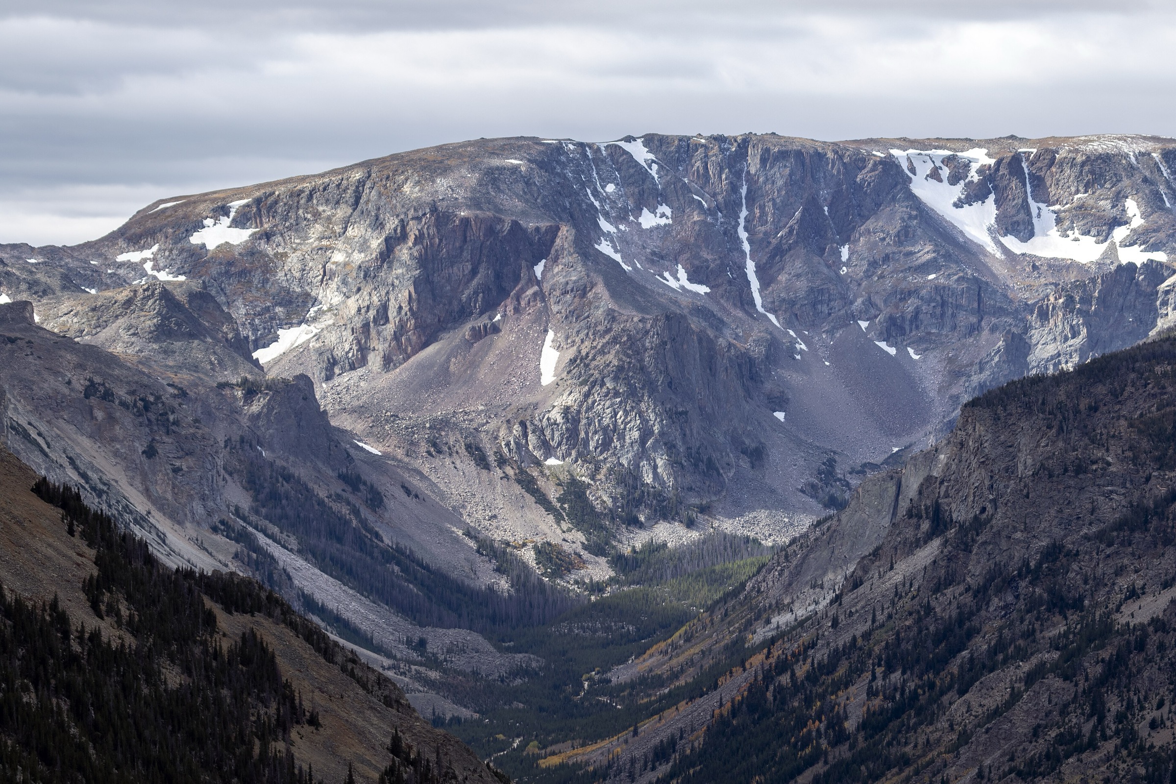
The route leaves the Glacier Lake Trailhead at the end of the rough, rocky Rock Creek Road spur and climbs steadily on the west side of the drainage through open scree, low willow and stunted spruce. The trail crosses the outlet stream near Moon Lake, then makes a short, rockier climb over a shoulder into the Glacier Lake cirque. The lake sits in a granite bowl on the wilderness boundary, ringed by cliffs and by the snowfields that persist into late summer on the surrounding walls. Return is on the same line. Most parties turn round at the lake, but stronger hikers extend the day by contouring above the lake toward Little Glacier Lake and the higher tarns beyond.
Why it is essential
Glacier Lake is the Beartooths’ shortest walk into full alpine granite scenery — the classic “first Beartooth lake” for visitors working out of Red Lodge, and the day that most efficiently puts a party at 2,900 m in a genuine wilderness cirque without a multi-day approach. It is also the only route in the selection with immediate access to the Absaroka–Beartooth Wilderness boundary.
Equipment
- Sturdy mountain hiking boots — rocky, uneven tread on the upper trail
- Trekking poles for the descent
- Rain and wind shell plus a warm layer — the cirque is cold even in high summer
- Sun hat, high-SPF sunscreen and sunglasses
- 2 L water and treatment for stream refills
- Bear spray, accessible on the pack
- Offline map and GPS with route loaded
- High-clearance vehicle for the final Rock Creek Road spur; verify the road is passable before setting out
Hazards and notes
- Lightning risk on the exposed approach and at the lake from July into September.
- Snow lingers on the upper trail and around the lake into July; carry microspikes early in the season.
- Rock Creek Road to the trailhead is rough, rocky and often impassable to low-clearance vehicles; the final miles can add substantial walking if driven only to the lower parking pull-outs.
- Grizzly-bear presence is documented in the Rock Creek drainage.
- Cold-water hazard at the lake — shore entry drops off quickly into deep water.
GPX / route file
| Source | URL | Format | Notes |
|---|---|---|---|
| USFS Custer Gallatin — Beartooth Ranger District | fs.usda.gov | Web page | Official managing authority; no GPX exposed |
| AllTrails — Glacier Lake Trail | alltrails.com | Web page | Distance and elevation cross-check only — proprietary geometry, do not reuse |
Sources
2. Mystic Lake via West Rosebud
Snapshot
Itinerary
The trail leaves the trailhead beside Emerald Lake at the head of West Rosebud Road, passes the Montana Power / NorthWestern Energy penstock and powerhouse, and climbs on a well-graded old service alignment through mixed conifer forest above the West Rosebud drainage. After roughly 3 km the trail breaks out into open avalanche paths beneath granite cliffs and switchbacks up onto the lip of the cirque holding Mystic Lake, the largest lake in the range and the reservoir for the Mystic Lake hydroelectric project. From the dam the trail continues along the north shore into the upper valley toward Island Lake and the Froze-to-Death Plateau, but most day-hike parties turn round at the dam or after the first views along the shoreline. Return is on the same route.
Why it is essential
Mystic Lake is the West Rosebud signature — the biggest lake in the Beartooth Mountains, at the head of the range’s deepest cirque and beneath the granite walls that lead up to Granite Peak. The walk to the dam is the shortest and best-documented route into the interior of the range on the north side, and the natural pair to the East Rosebud “Beaten Path” walk for anyone spending several days out of Roscoe or Absarokee.
Equipment
- Sturdy hiking boots
- Trekking poles for the switchbacked descent
- 2 L water and treatment for creek refills below the dam
- Rain and wind shell
- Bear spray
- Offline map and GPS
- Sun and heat protection on the open middle section
Hazards and notes
- Mystic Lake dam and penstock area is active industrial infrastructure — stay on the marked trail and do not enter fenced service zones.
- Loose gravel and steep drop-offs on the switchbacked climb.
- Afternoon thunderstorms on the open middle section; leave the switchbacks before typical storm build-up.
- Grizzly-bear presence in the drainage; carry spray.
- West Rosebud Road and the trailhead area were affected by the June 2022 Yellowstone flood; verify current road and trailhead status with the Custer Gallatin National Forest before travel.
GPX / route file
| Source | URL | Format | Notes |
|---|---|---|---|
| USFS Custer Gallatin — Beartooth Ranger District | fs.usda.gov | Web page | Official managing authority; no GPX exposed |
| AllTrails — Mystic Lake Trail | alltrails.com | Web page | Distance and elevation cross-check only — proprietary geometry, do not reuse |
Sources
3. East Rosebud to Elk Lake
Snapshot
Itinerary
From the East Rosebud Trailhead at Alpine the route follows the East Rosebud River south into the range on the gently graded first section of the Beaten Path — the celebrated 42 km / 26 mi through-trail that crosses the range from Alpine to Cooke City. The trail passes Rimrock Lake in a broad, open valley beneath granite walls, then continues on a mostly flat line through mixed forest and meadow to Elk Lake, a long, narrow tarn about 5.5 km from the trailhead. Elk Lake is the natural day-hike turnaround: past the lake the Beaten Path steepens sharply on the climb toward Rainbow Lake and the higher chain. Return is on the same route.
Why it is essential
The East Rosebud walk to Elk Lake is the flattest and most family-friendly Beartooth day out — a straight sampling of the “Beaten Path” through-trail’s first miles without the through-trail’s altitude or commitment. It is the only route in the selection that keeps almost entirely below the treeline, and the natural rest day between higher plateau or dam-side walks.
Equipment
- Sturdy trail shoes or light boots
- Trekking poles (optional)
- 2 L water and treatment for river refills
- Rain and wind shell
- Bear spray, accessible on the pack — very active bear drainage
- Offline map and GPS
- Sun and insect protection in summer
Hazards and notes
- The East Rosebud drainage is one of the most heavily used bear corridors on the north side of the range — carry spray, hike in groups and make noise.
- Rimrock and Elk Lake shorelines are marshy in places; expect wet feet in early season.
- Afternoon thunderstorms build over the higher plateau to the south-west — retreat to the treeline if lightning develops.
- East Rosebud Road and the Alpine trailhead area were significantly damaged in the June 2022 Yellowstone flood; verify current road and trailhead access with the Custer Gallatin National Forest before travel.
- The full Beaten Path through-trail is a shuttle backpack, not an extension of this day.
GPX / route file
| Source | URL | Format | Notes |
|---|---|---|---|
| USFS Custer Gallatin — Beartooth Ranger District | fs.usda.gov | Web page | Official managing authority; no GPX exposed |
| AllTrails — East Rosebud Trail to Elk Lake | alltrails.com | Web page | Distance and elevation cross-check only — proprietary geometry, do not reuse |
Sources
- USFS Custer Gallatin National Forest — Beartooth Ranger District
- AllTrails — East Rosebud Trail to Elk Lake
4. Basin Lakes
Snapshot
Itinerary
The route leaves the Basin Lakes Trailhead on West Fork Rock Creek Road and climbs steadily through lodgepole pine and Douglas fir on a switchbacked forest trail. Lower Basin Lake sits about 3 km in, a small, forest-ringed tarn suitable as a shorter turnaround. Beyond it the trail climbs more steeply on rocky switchbacks and open avalanche paths to Upper Basin Lake, a larger cirque lake beneath a wall of grey Beartooth granite. The upper lake is the natural day-hike turnaround. Return is on the same route. Stronger parties sometimes extend north-west onto the Silver Run Plateau, but that variant is a substantially longer day and includes exposed alpine tundra.
Why it is essential
Basin Lakes is the most accessible day-hike into the West Fork Rock Creek drainage directly behind Red Lodge — a two-lake route that puts a party in sub-alpine forest and then a granite cirque without needing the rough Glacier Lake road spur. It fills the “moderate forested lake climb” slot in the selection between the flatter East Rosebud walk and the higher plateau days.
Equipment
- Sturdy hiking boots
- Trekking poles for the switchbacked descent
- 2–2.5 L water and treatment for creek refills
- Rain and wind shell plus a warm layer for the upper cirque
- Bear spray
- Offline map and GPS
- Sun protection on the open avalanche paths
Hazards and notes
- Steep, rocky sections between the lower and upper lake — take care on the descent.
- Snow lingers on the upper switchbacks into mid-summer in cool years.
- Afternoon thunderstorms on the upper cirque; leave the top before typical storm build-up.
- Grizzly-bear presence documented in the West Fork Rock Creek drainage.
- Trailhead parking fills on summer weekends; plan an early start.
GPX / route file
| Source | URL | Format | Notes |
|---|---|---|---|
| USFS Custer Gallatin — Beartooth Ranger District | fs.usda.gov | Web page | Official managing authority; no GPX exposed |
| AllTrails — Basin Lakes Trail | alltrails.com | Web page | Distance and elevation cross-check only — proprietary geometry, do not reuse |
Sources
5. Island Lake to Beauty Lake
Snapshot
Itinerary
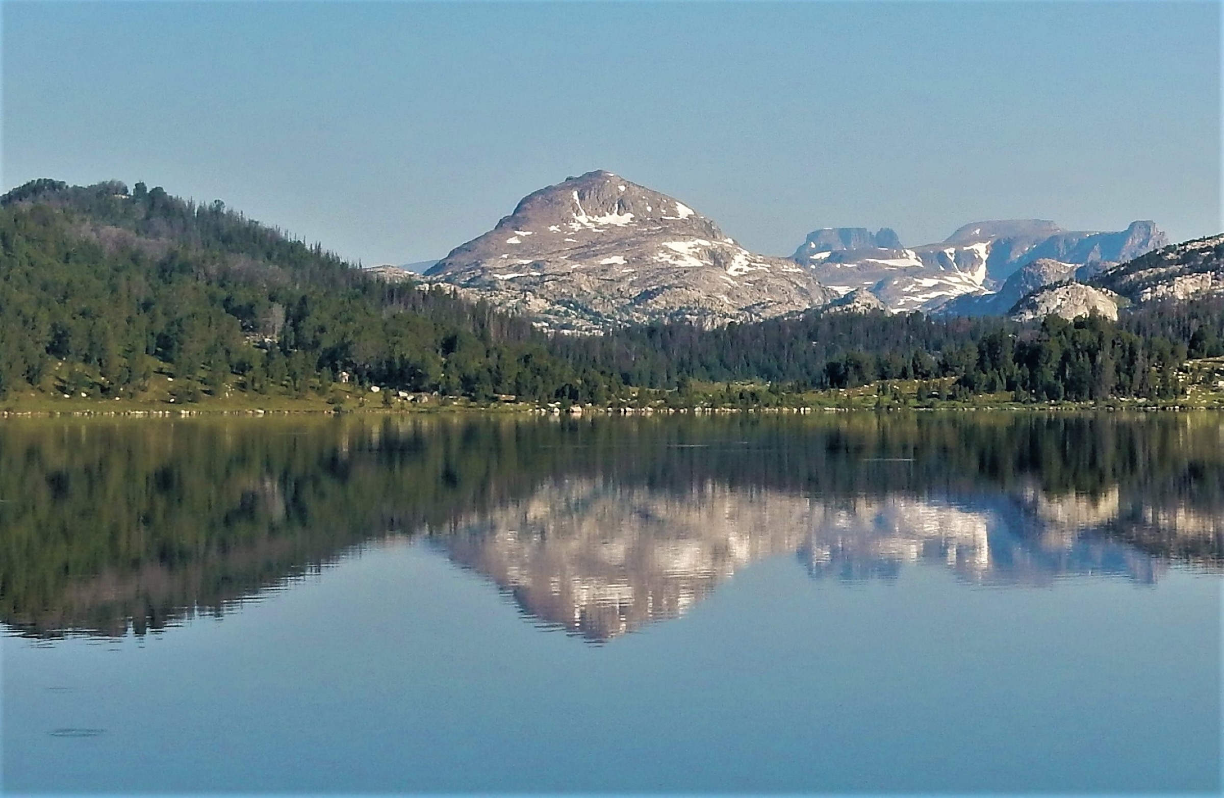
The trail leaves Island Lake Campground on the Beartooth Highway at the west end of Island Lake and threads north-east across the Beartooth Plateau — an open tundra tableland at roughly 3,050 m dotted with scattered lakes, granite outcrops and stunted whitebark pine. The route passes Night Lake and a chain of smaller tarns before reaching Beauty Lake, a larger plateau lake with cliffs on its north shore. The standard day extends the walk as a loop via Becker Lake back to the trailhead; the shorter option is a straight out-and-back to Beauty Lake. Views open north-east to the Absaroka–Beartooth crest and south across the plateau toward the Wyoming Beartooths. Return is either on the loop or on the same line.
Why it is essential
Island Lake to Beauty Lake is the definitive Beartooth Plateau day — the walk that most efficiently puts a party on the tundra tableland that defines the range, without the long approaches from Red Lodge or the East Rosebud side. It is also the only route in the selection that starts on the Beartooth Highway itself, and the natural pairing with a scenic drive over Beartooth Pass.
Equipment
- Sturdy hiking boots or trail shoes
- Trekking poles (optional)
- Rain and wind shell plus warm layer — the plateau is fully exposed
- Sun hat, high-SPF sunscreen and sunglasses — intense UV at altitude
- 2 L water and treatment for lake refills
- Bear spray
- Offline map and GPS with route loaded — many braided user paths on the plateau
- Insect repellent in July and early August
Hazards and notes
- Full exposure on the plateau — no trees, no shelter and no easy retreat if a storm builds.
- Afternoon thunderstorms and lightning are the defining hazard; the plateau is the last place to be caught out and parties should be off the tundra by early afternoon.
- Sudden weather change — snow squalls are possible on the plateau in any summer month.
- Beartooth Highway (US-212) opens seasonally between Memorial Day and mid-October; confirm the road is open before setting out.
- Grizzly-bear presence documented across the plateau; carry spray.
- Many social trails braid across the tundra — carry a mapped route and avoid cutting new lines through the fragile alpine vegetation.
GPX / route file
| Source | URL | Format | Notes |
|---|---|---|---|
| USFS Shoshone — Clarks Fork Ranger District | fs.usda.gov | Web page | Official managing authority; no GPX exposed |
| AllTrails — Beauty Lake via Island Lake | alltrails.com | Web page | Distance and elevation cross-check only — proprietary geometry, do not reuse |
Sources
Routes excluded as out of scope
The following sit inside or adjacent to the Beartooth Mountains but fall outside a day-hike entry or are better treated in a neighbouring catalogue.
- Granite Peak (Montana high point). The definitive Beartooth summit, but a technical Class 4 mountaineering objective with committing rock scrambling and overnight bivouacs — well beyond a day-hike.
- The full Beaten Path (East Rosebud to Cooke City). The range’s signature through-trail, but a 42 km / 26 mi shuttle route best done as a two- to four-day backpack — the day-hike version turns round at Elk Lake.
- Froze-to-Death Plateau from Mystic Lake. The standard high-camp approach to Granite Peak and a spectacular tundra walk, but from Mystic Lake it is a very long day at altitude with sustained scree — normally treated as an overnight.
- Grasshopper Glacier. One of the most striking features of the range and historically famous for its grasshopper-embedded ice, but access requires a long backcountry approach from the north side of the plateau.
- Gardner Lake and Beartooth Lake short walks (Beartooth Highway). Enjoyable roadside strolls near Island Lake, but too short to carry the “essential day-hike” bracket on their own; treated as extensions of a Beartooth Highway drive.
Further reading
| Source | URL |
|---|---|
| USFS Custer Gallatin National Forest | fs.usda.gov |
| USFS Custer Gallatin — Beartooth Ranger District | fs.usda.gov |
| USFS Shoshone National Forest | fs.usda.gov |
| Storm — Gallatin Range, Montana and Wyoming | /guidebooks/usa-greater-yellowstone-central-rockies-greater-yellowstone-mountains-gallatin-range-essential-day-hikes |
| Storm — Absaroka Range, Montana and Wyoming | /guidebooks/usa-greater-yellowstone-central-rockies-absaroka-range-essential-day-hikes |
| Storm — Teton Range: Grand Teton and Jedediah Smith | /guidebooks/usa-greater-yellowstone-central-rockies-teton-range-grand-teton-jedediah-smith-essential-day-hikes |
| Storm — Cloud Peak Wilderness, Bighorn Mountains | /guidebooks/usa-greater-yellowstone-central-rockies-bighorn-mountains-cloud-peak-wilderness-essential-day-hikes |
| AllTrails — Glacier Lake Trail | alltrails.com |
| AllTrails — Mystic Lake Trail | alltrails.com |
| AllTrails — East Rosebud Trail to Elk Lake | alltrails.com |
| AllTrails — Basin Lakes Trail | alltrails.com |
| AllTrails — Beauty Lake via Island Lake | alltrails.com |
| Wikipedia — Beartooth Mountains | en.wikipedia.org |
| Wikipedia — Absaroka–Beartooth Wilderness | en.wikipedia.org |
| Wikipedia — Beartooth Highway | en.wikipedia.org |
| Wikipedia — Granite Peak (Montana) | en.wikipedia.org |
Missing data / follow-up work
- No official USFS GPX/KML files are published for the Beartooth trails covered here; route geometry can be exported from OpenStreetMap or CalTopo for planning.
- Route statistics for all five walks are from secondary sources; verify against Custer Gallatin and Shoshone topographic mapping before travel.
- June 2022 Yellowstone flood damage remains a relevant planning factor on the East Rosebud, West Rosebud and lower Beartooth Highway approaches; confirm current road and trailhead status with the Custer Gallatin National Forest before any trip to the north side of the range.
- The Beartooth Highway’s seasonal opening and closing dates shift year to year; confirm the road is open before planning any plateau-side hike.
- Grizzly-bear presence on both the Montana and Wyoming sides of the range is well documented; the Custer Gallatin and Shoshone National Forests should be consulted for current bear-management updates before any trip.
- No licence-compatible route-specific photographs of the individual hikes were located in this pass beyond the general Beartooth Highway cover image; further Wikimedia Commons searches on named lake and trailhead pages may turn up usable images over time.