Regional overview
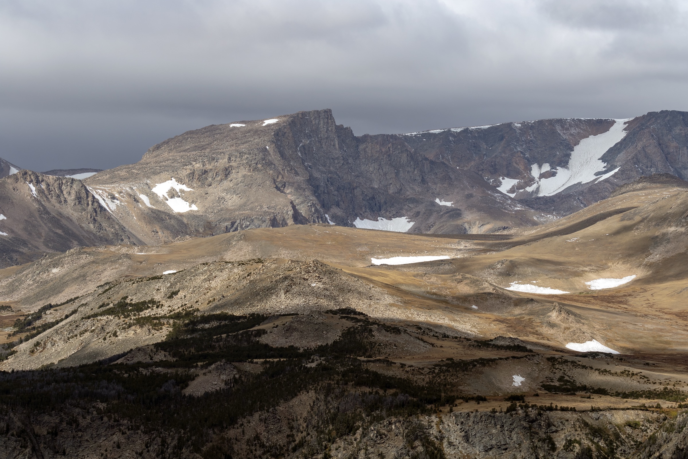
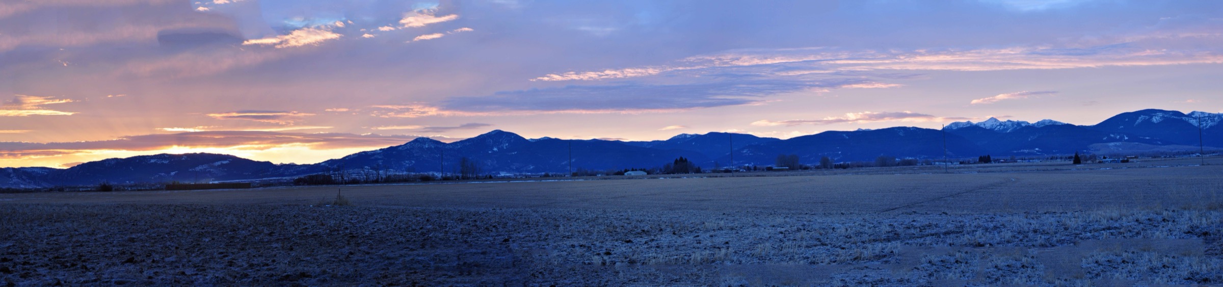
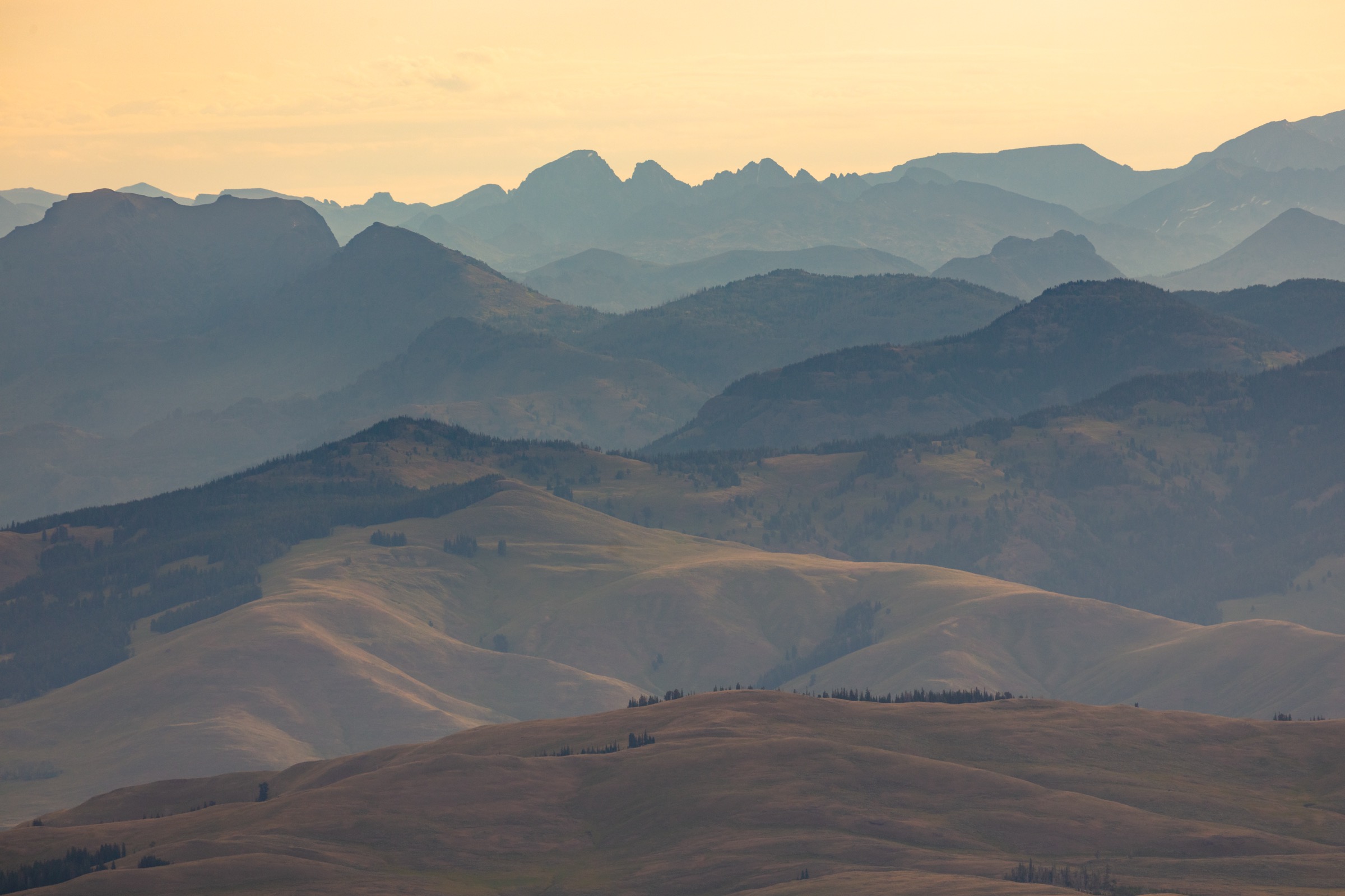
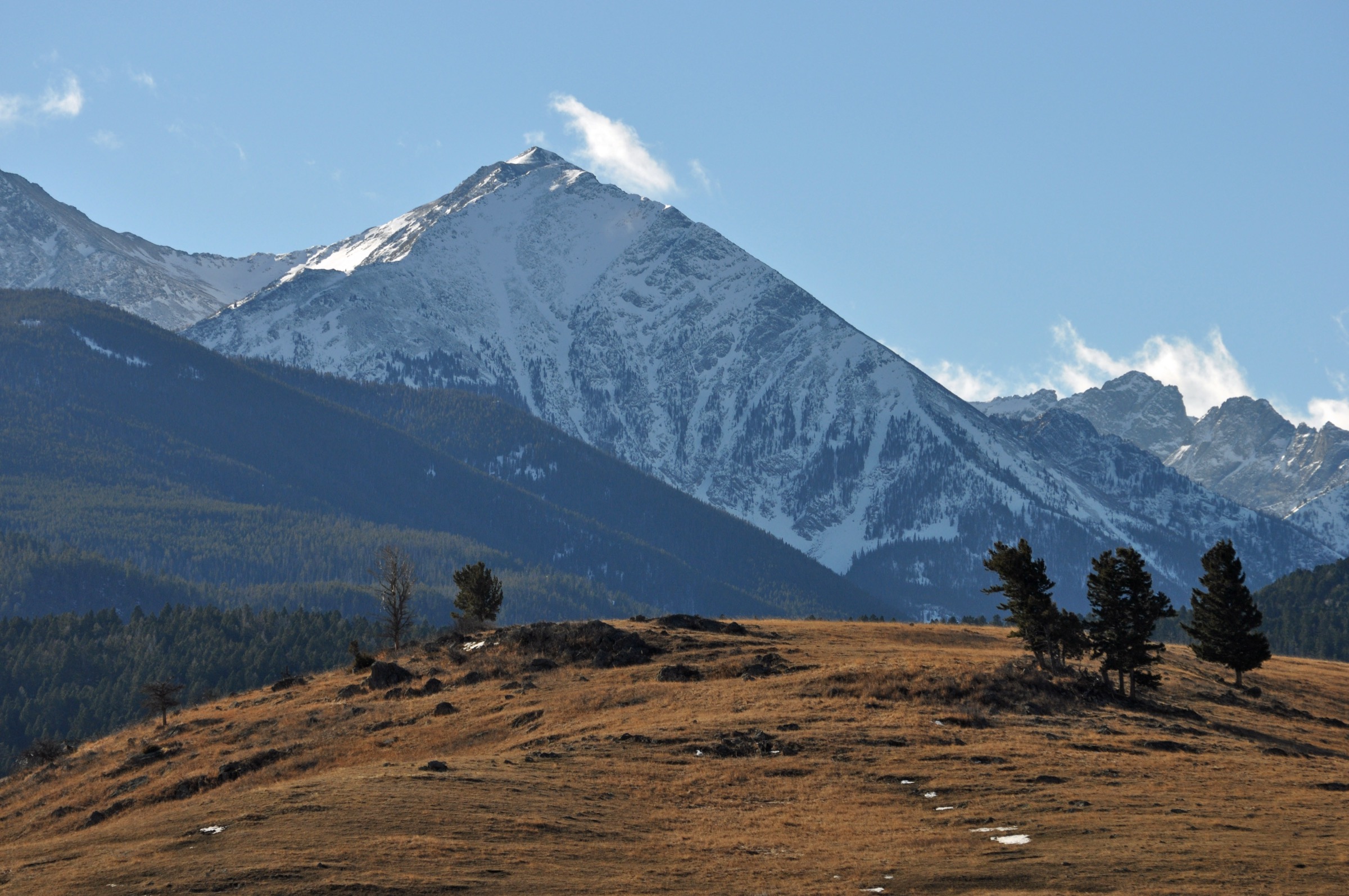
The Madison Range runs roughly north–south for about 130 km (80 mi) from West Yellowstone and Hebgen Lake at the southern end up toward Bozeman and Big Sky, bounded by the Madison River valley to the west and the Gallatin River valley to the east. The range is one of the defining crests of the Greater Yellowstone Ecosystem: it holds the Spanish Peaks and Taylor–Hilgard wilderness units of the Lee Metcalf Wilderness, the recreation basin of Big Sky, the Gallatin Canyon face along US 191, and the rougher Madison Valley slopes rising from Ennis toward Sphinx Mountain and The Helmet.
Access is concentrated in three corridors. On the Big Sky side, the Beehive Basin Road climbs from the resort to the trailheads for Beehive Basin and the Spanish Peaks southern approaches. Along US 191 / Gallatin Canyon are the Lava Lake and Cinnamon Mountain trailheads, plus a string of shorter canyon-side walks. On the west, the Madison Valley approaches — particularly the Bear Creek Wildlife Management Area — give access to the range’s wilder summit lines. At the southern tip, Hebgen Lake and the West Yellowstone basin give lower-angle mountain walking with lake and forest views.
Most of the Montana side of the range is managed by the Custer Gallatin National Forest (Bozeman and Hebgen Lake ranger districts), with the Montana Fish, Wildlife and Parks agency managing the Bear Creek WMA on the western foot. All routes here sit in grizzly-bear country; the Custer Gallatin’s food and attractant storage order applies to the Bozeman and Hebgen Lake districts and calls for hard-sided storage or approved containers. Verify the current alert text and any local closures before travel. The reliable snow-free walking season on the high summits is mid-July to mid-September, with afternoon thunderstorms as the dominant summer risk on exposed ridges. Lava Lake and the Hebgen Lake side open earlier and close later. Trailhead pressure at Beehive Basin and Lava Lake is heavy at summer weekends: an early start is effectively mandatory for both parking and thunderstorm avoidance.
See also: Yellowstone Plateau, Wyoming · Gallatin Range.
Selection rationale
The five walks below balance the main day-hike faces of the Madison Range. Beehive Basin is the signature Big Sky alpine-basin route below the Spanish Peaks skyline. Lava Lake is the compact Gallatin Canyon classic — a short but steady climb to a real alpine lake. Cinnamon Mountain adds a high fire-lookout ridge with panoramic Madison and Taylor–Hilgard views. Helmet and Sphinx Mountain is the strenuous Madison Valley summit line and the only selection representing the rougher western face of the range. Mount Hebgen closes the set with a southern Madison / Hebgen Lake viewpoint linked to the famous 1959 earthquake landscape. Spanish Lakes, Hilgard Basin and other Taylor–Hilgard backpacking objectives were considered but exceed the day-hike envelope of this catalogue. This article is the sister catalogue to the Gallatin Range essential day-hikes, which shares the same national forest and covers the range immediately to the east.
Summary table
| # | Hike | Country | Route type | Distance | Gain | Max elevation | Difficulty |
|---|---|---|---|---|---|---|---|
| 1 | Beehive Basin Trail No. 40 | USA | Out-and-back | 11.3 km | 506 m | 2,908 m | Moderate |
| 2 | Lava Lake Trail | USA | Out-and-back | 8.4 km | 489 m | 2,167 m | Moderate |
| 3 | Cinnamon Mountain Trail | USA | Out-and-back | 13.4 km | 800 m | 2,812 m | Hard |
| 4 | Helmet and Sphinx Mountain Trail | USA | Out-and-back | 18.5 km | 1,204 m | 3,121 m | Strenuous |
| 5 | Mount Hebgen Trail | USA | Out-and-back | 10.0 km | 519 m | 2,641 m | Moderate |
1. Beehive Basin Trail No. 40
Snapshot
Itinerary
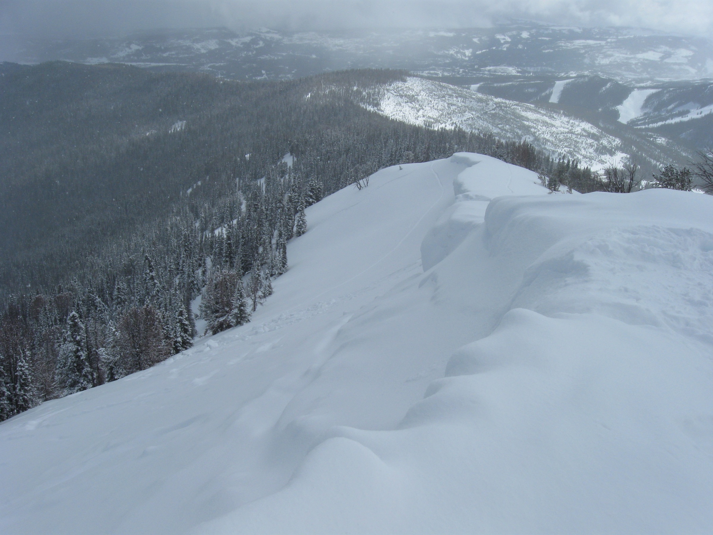
From the Beehive Basin Road trailhead the trail climbs through mixed conifer forest and open meadows toward the high basin below Beehive Peak. The upper section opens into alpine meadows, tarns and a small lake set beneath the cirque walls of the southern Spanish Peaks — the signature view of the Big Sky side of the Madison Range. Return by the same route.
Why it is essential
Beehive Basin is the definitive Big Sky day-hike: accessible, scenic, flower-rich in summer and framed by the Spanish Peaks / Lee Metcalf Wilderness skyline. It captures the alpine-basin character of the northern Madison Range without demanding a full high-summit day.
Equipment
- Sturdy hiking footwear
- Rain and wind shell plus a warm layer for the basin
- Sun protection and 2 L of water minimum
- Bear spray, accessible on the pack
- Offline map and GPS with route loaded
- Trekking poles for mud or lingering snow
Hazards and notes
- Muddy and snowy sections near the top persist into early summer.
- High-elevation weather and afternoon lightning risk on the open basin.
- Grizzly-bear country — carry spray and follow the Custer Gallatin food-storage order.
- Heavy weekend use; parking at the road-end fills early.
- Stay on durable surfaces around the tarns to protect the fragile basin vegetation.
GPX / route file
| Source | URL | Format | Notes |
|---|---|---|---|
| AllTrails — Beehive Basin Trail No. 40 | alltrails.com | Web page | Distance and elevation cross-check only — proprietary geometry, do not reuse |
| OpenStreetMap — Beehive Basin | openstreetmap.org | Web map | Geometry cross-check; ODbL attribution required if reused |
Sources
- USFS Custer Gallatin National Forest — Bozeman Ranger District
- AllTrails — Beehive Basin Trail No. 40
- Wikipedia — Beehive Peak
2. Lava Lake Trail
Snapshot
Itinerary
The route leaves the Gallatin Canyon trailhead and climbs into Cascade Creek Canyon through lodgepole forest, following the creek past small cascades. Higher up the canyon opens toward Lava Lake, a mountain lake set at 2,167 m below the southern Spanish Peaks skyline. Return by the same trail.
Why it is essential
Lava Lake is the compact classic of Gallatin Canyon: a short, steady climb from the US 191 corridor to a genuine alpine lake, with creek, forest and waterfall scenery and a very strong payoff for a half-day walk. It is the most representative short lake hike on the Madison side of the Gallatin corridor.
Equipment
- Hiking shoes or boots
- Rain and wind layer plus a warm layer
- Sun protection and 2 L of water
- Bear spray, accessible on the pack
- Offline map and GPS
- Trekking poles for the steeper mid-section
Hazards and notes
- Steep sections above the creek can be slick when wet.
- Summer weekend crowding; parking on US 191 fills early.
- High water in Cascade Creek in early season.
- Afternoon thunderstorms and lightning.
- Grizzly-bear country; verify current dog rules with the Bozeman Ranger District before relying on AllTrails’ on-leash summary.
GPX / route file
| Source | URL | Format | Notes |
|---|---|---|---|
| AllTrails — Lava Lake Trail | alltrails.com | Web page | Distance and elevation cross-check only — proprietary geometry, do not reuse |
| OpenStreetMap — Lava Lake Montana | openstreetmap.org | Web map | Geometry cross-check; ODbL attribution required if reused |
Sources
3. Cinnamon Mountain Trail
Snapshot
Itinerary
The route begins on Cinnamon Buck Trail No. 6 on the west side of US 191 and turns onto Cinnamon Lookout Trail No. 73 for the climb toward the old fire lookout site. The trail rises from forest into meadow and open ridge terrain, with the summit ridge giving a broad Madison Range panorama: Taylor–Hilgard peaks, Sphinx Mountain, Lone Mountain, Sage Peak, Monument Peak, the Spanish Peaks, the length of Gallatin Canyon and northern Yellowstone. Descent reverses the route.
Why it is essential
Cinnamon Mountain gives the highest, most open Madison Range viewpoint of any route in this selection without requiring a remote wilderness approach. It represents the fire-lookout / working-forest tradition on the Gallatin Canyon side of the range and is the most panoramic day out from US 191.
Equipment
- Mountain hiking boots and trekking poles
- Rain and wind shell plus a warm layer for the ridge
- Sun hat, high-SPF sunscreen and sunglasses
- 2.5–3 L water and food for a full day
- Bear spray, accessible on the pack
- Offline map and GPS with route loaded
- Headtorch — the descent can run long
Hazards and notes
- Upper switchbacks and the summit ridge are exposed to lightning, hail, wind and sudden cold.
- Sustained climb — 800 m of gain over the ascent.
- Late-spring mud on the lower trail per AllTrails review summaries.
- Grizzly-bear activity is noted in review summaries; carry spray.
- Start at dawn in mid-summer to clear the ridge before typical storm build-up.
GPX / route file
| Source | URL | Format | Notes |
|---|---|---|---|
| AllTrails — Cinnamon Mountain Trail | alltrails.com | Web page | Distance and elevation cross-check only — proprietary geometry, do not reuse |
| OpenStreetMap — Cinnamon Mountain Montana | openstreetmap.org | Web map | Geometry cross-check; ODbL attribution required if reused |
Sources
4. Helmet and Sphinx Mountain Trail
Snapshot
Itinerary
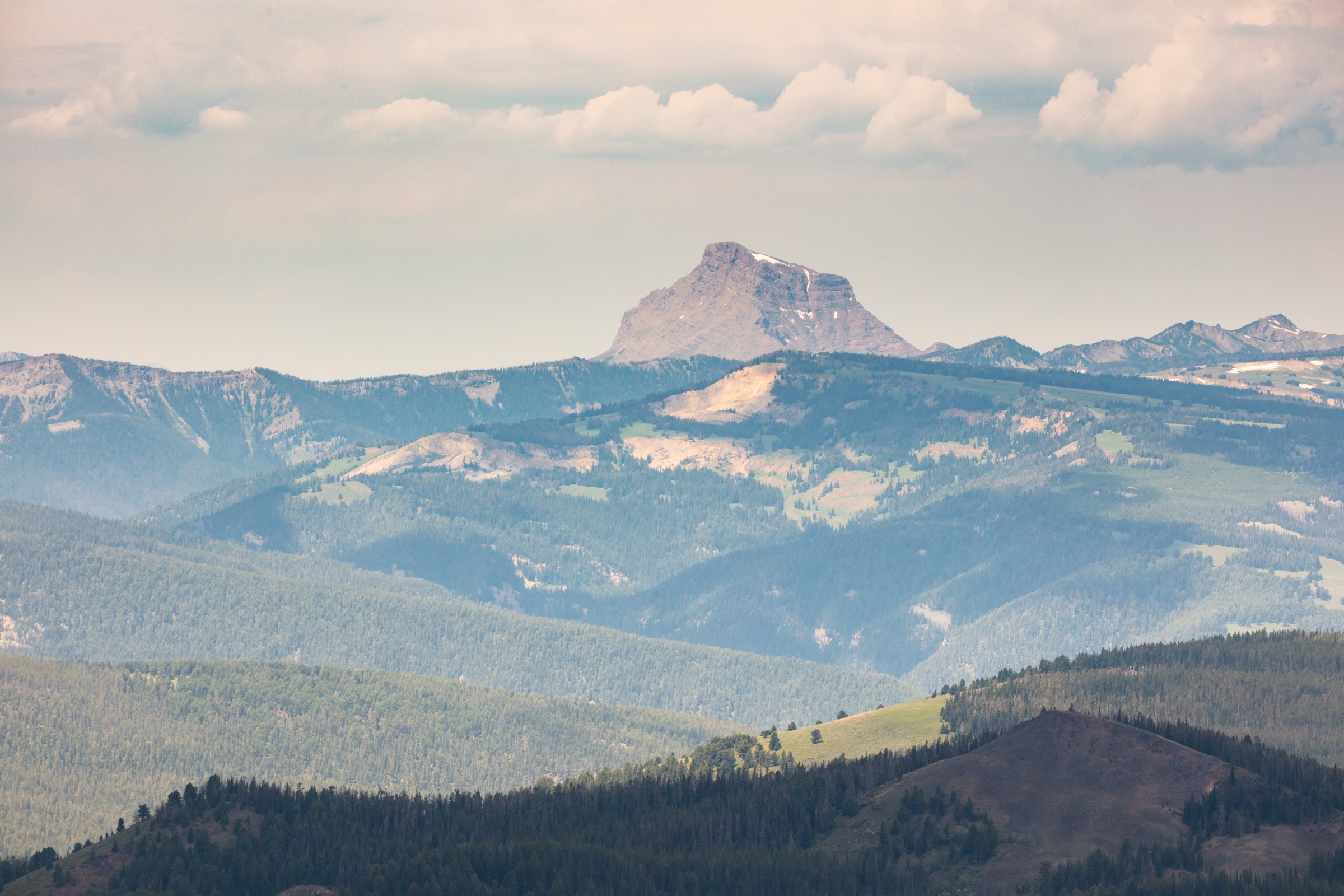
The route climbs from the Bear Creek approach on the Madison Valley side of the range through forest, creek crossings and subalpine terrain, then transitions to talus and slab for the final climb to The Helmet and Sphinx Mountain. AllTrails describes cairn-to-cairn navigation across rubble and a few short Class 2 sections where hands may be needed for balance. The summit block gives a full Madison Valley panorama and looks across to the Taylor–Hilgard crest. Descent reverses the route.
Why it is essential
Sphinx Mountain and The Helmet are the most recognisable summit landmarks of the Madison Valley skyline. The route is the only selection representing the rougher western face of the Madison Range and is the range’s strenuous summit day of choice for experienced hikers.
Equipment
- Sturdy mountain boots and trekking poles
- Warm and wind layers plus a rain shell
- Sun protection and 2.5–3 L water or a treatment plan
- Full food for a long day
- Headtorch
- Offline map and GPS with route loaded; navigation backup
- First-aid kit and bear spray
- Microspikes for shoulder-season snow or ice
Hazards and notes
- Loose talus and short Class 2 sections — not a casual trail hike.
- Sustained 1,200 m of gain and 18+ km of walking.
- Route-finding required above treeline; cairn-to-cairn navigation.
- Storms, high wind and afternoon lightning on the summit block.
- Grizzly-bear country on the western slope of the range.
- Reserve for experienced hikers under settled summer conditions.
GPX / route file
| Source | URL | Format | Notes |
|---|---|---|---|
| AllTrails — Helmet and Sphinx Mountain Trail | alltrails.com | Web page | Distance and elevation cross-check only — proprietary geometry, do not reuse |
| OpenStreetMap — Sphinx Mountain Madison County | openstreetmap.org | Web map | Geometry cross-check; ODbL attribution required if reused |
Sources
- USFS Custer Gallatin National Forest
- AllTrails — Helmet and Sphinx Mountain Trail
- Wikipedia — Sphinx Mountain (Madison County, Montana)
- Wikipedia — The Helmet (mountain)
5. Mount Hebgen Trail
Snapshot
Itinerary
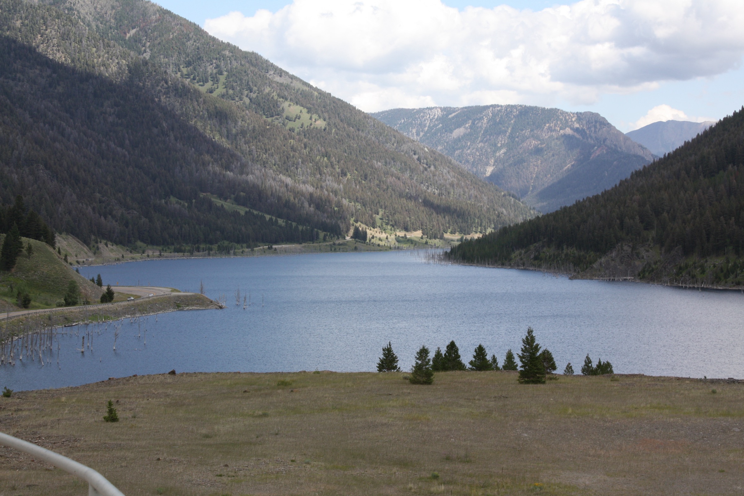
The trail climbs from the Hebgen Lake area toward Mount Hebgen, gaining a southern Madison Range viewpoint over the lake and its surrounding forested ridges. The upper section steepens on the summit approach; the top gives a broad view over Hebgen Lake, the West Yellowstone basin and the northern edge of Yellowstone National Park. Return by the same route.
Why it is essential
Mount Hebgen anchors the southern end of the Madison Range and links the range’s mountain walking with the well-known 1959 Hebgen Lake earthquake and Quake Lake landscape immediately below. It is the most representative short summit hike on the West Yellowstone side and closes the range’s north–south spread of day-hike character.
Equipment
- Hiking shoes or boots
- Rain and wind layer plus a warm layer
- Sun protection and 2 L of water
- Insect repellent for summer mosquitoes
- Bear spray, accessible on the pack
- Offline map and GPS with route loaded
Hazards and notes
- Steep climbing near the summit; watch footing on loose ground.
- Heavy summer mosquitoes near the lakeshore approach.
- Afternoon thunderstorms and lightning on the exposed summit.
- Grizzly-bear country; the Hebgen Lake district is subject to the Custer Gallatin food-storage order.
- Published trailhead access detail is limited; verify current road status with the Hebgen Lake Ranger District before travel.
- The 1959 earthquake context is regional — the route itself is not a marked interpretive trail.
GPX / route file
| Source | URL | Format | Notes |
|---|---|---|---|
| AllTrails — Mount Hebgen Trail | alltrails.com | Web page | Distance and elevation cross-check only — proprietary geometry, do not reuse |
| OpenStreetMap — Mount Hebgen | openstreetmap.org | Web map | Geometry cross-check; ODbL attribution required if reused |
Sources
Routes excluded as out of scope
- Spanish Lakes and Hilgard Basin — both are outstanding routes into the Lee Metcalf Wilderness but exceed the day-hike envelope of this catalogue and are more naturally treated as overnight backpacks.
- Lone Mountain summit — the Big Sky landmark sits on private resort ground with restricted summer access; there is no reliable free-access day-hike line to include here.
- Longer Taylor–Hilgard traverses — considered but sit firmly in the multi-day backpacking category.
Further reading
- USA — Gallatin Range, Montana and Wyoming: essential day-hikes — the sister catalogue on the range immediately east, sharing the Custer Gallatin National Forest and the Gallatin Canyon corridor.
- Custer Gallatin National Forest — official homepage
- Custer Gallatin National Forest — current conditions
- Custer Gallatin food-storage order
- Wikipedia — Madison Range
- Wikipedia — Lee Metcalf Wilderness
Missing data / follow-up work
- No official USFS trail-specific pages with downloadable GPX or KML were retrieved for any of the five routes; all route statistics rely on AllTrails structured records checked 2026-07-13.
- Route photography remains largely unresolved. Only a contextual Hebgen Lake area image was verified: a USDA Forest Service public-domain photograph of the Gallatin National Forest / Cabin Creek area, hosted on Wikimedia Commons — a candidate for a Mount Hebgen section illustration once resized to the site’s 2400 px long-edge standard. Wikimedia-hosted subject images for Beehive Peak, Sphinx Mountain and The Helmet were identified but author and licence metadata were not verified in this pass; do not reuse until the Commons file pages have been checked.
- The Helmet and Sphinx Mountain start-point access should be confirmed with Montana Fish, Wildlife and Parks and with the Custer Gallatin’s local ranger district before publication.
- Mount Hebgen trailhead road access and any seasonal closures need confirmation with the Hebgen Lake Ranger District.
- The Custer Gallatin food-storage alert text and its embedded order text show conflicting date presentation; verify the live order before final publication and travel.