Regional overview
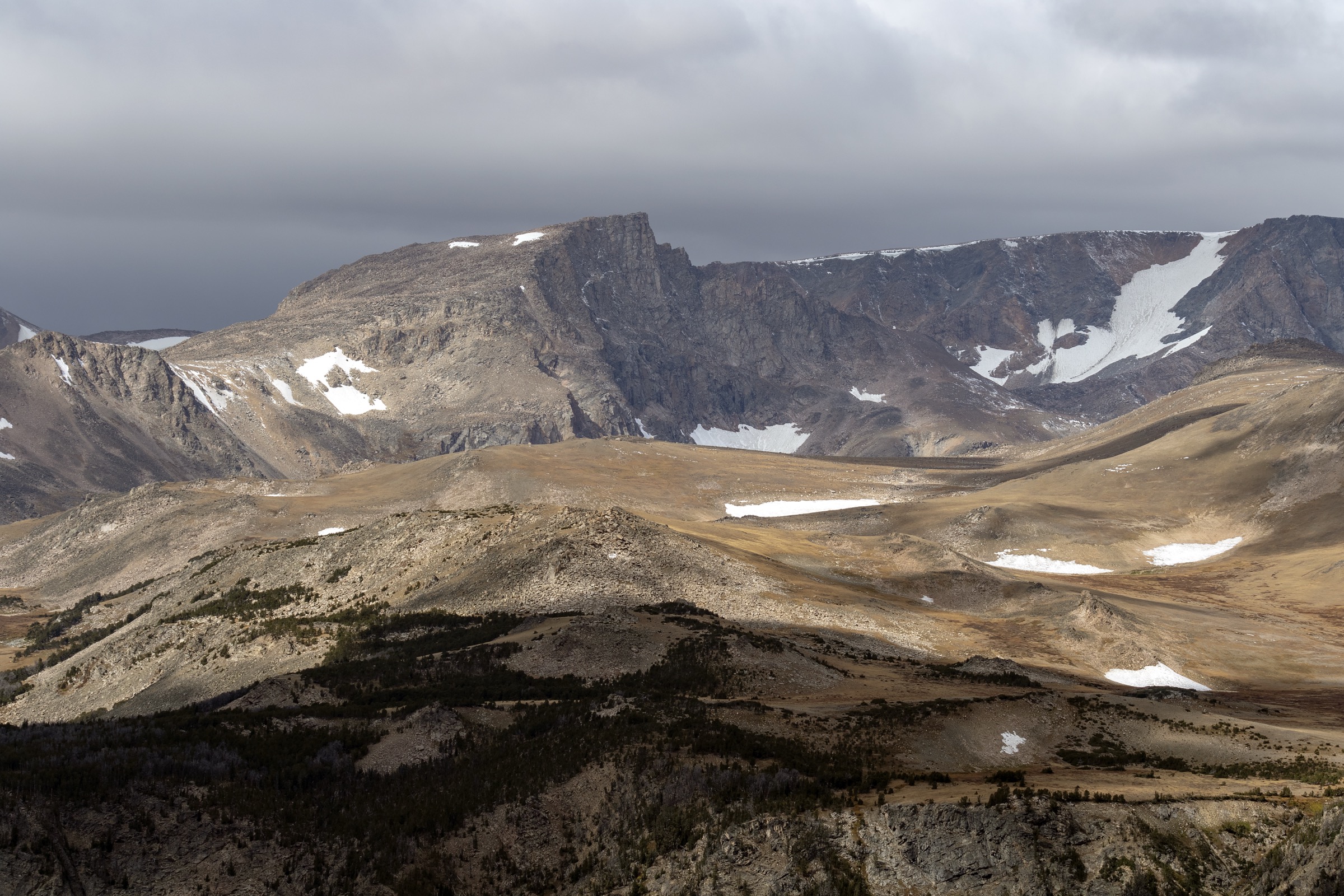
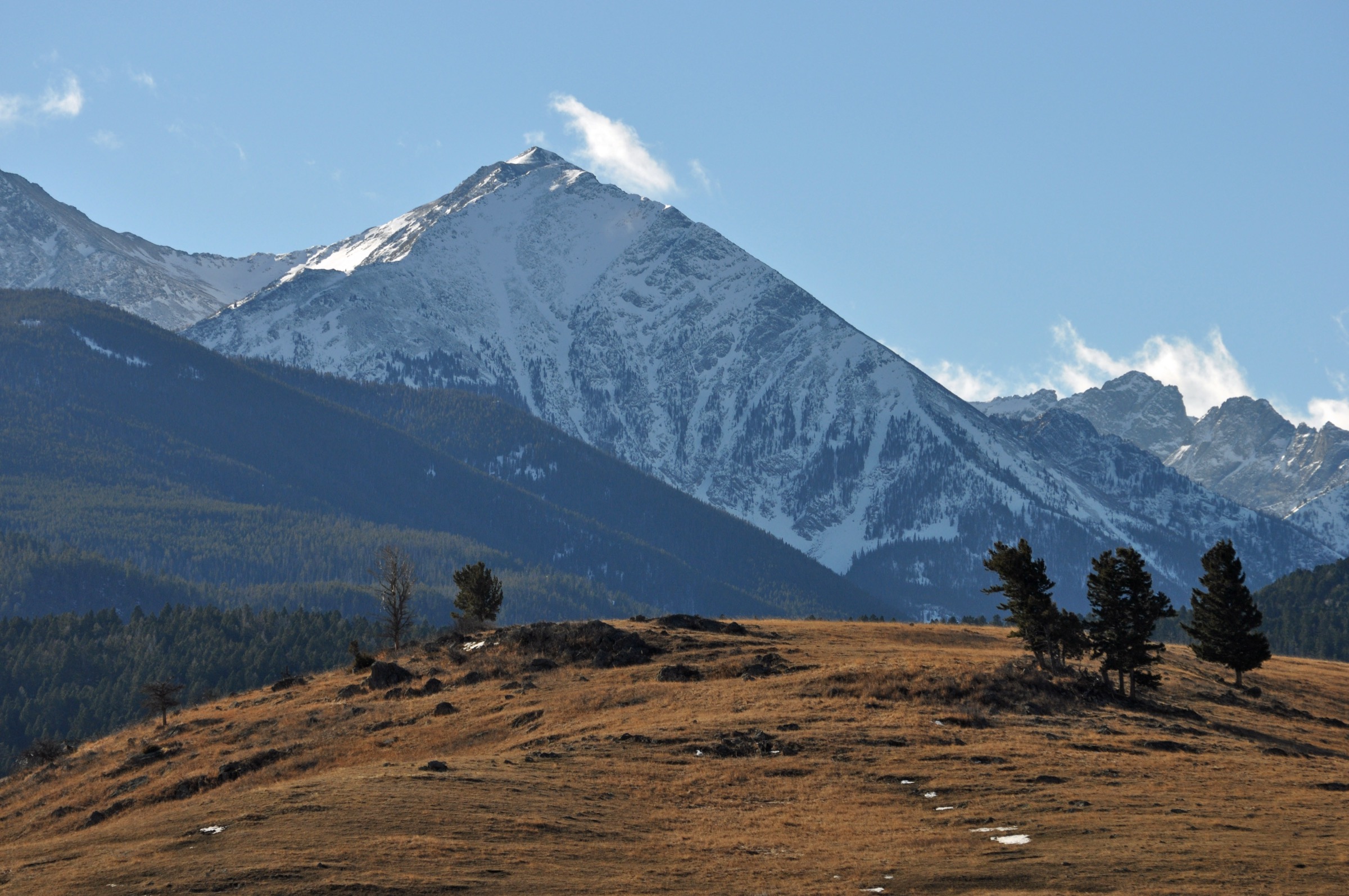
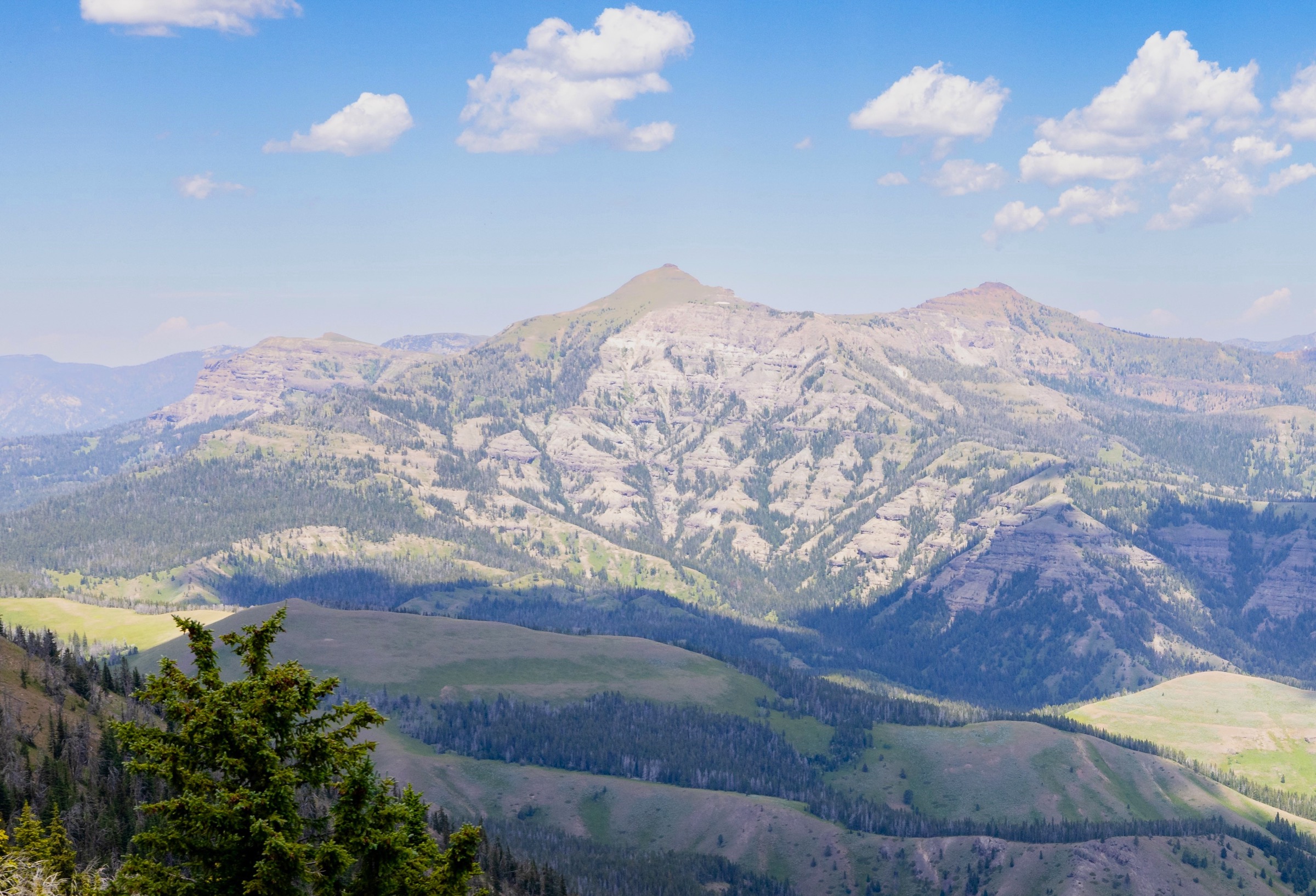
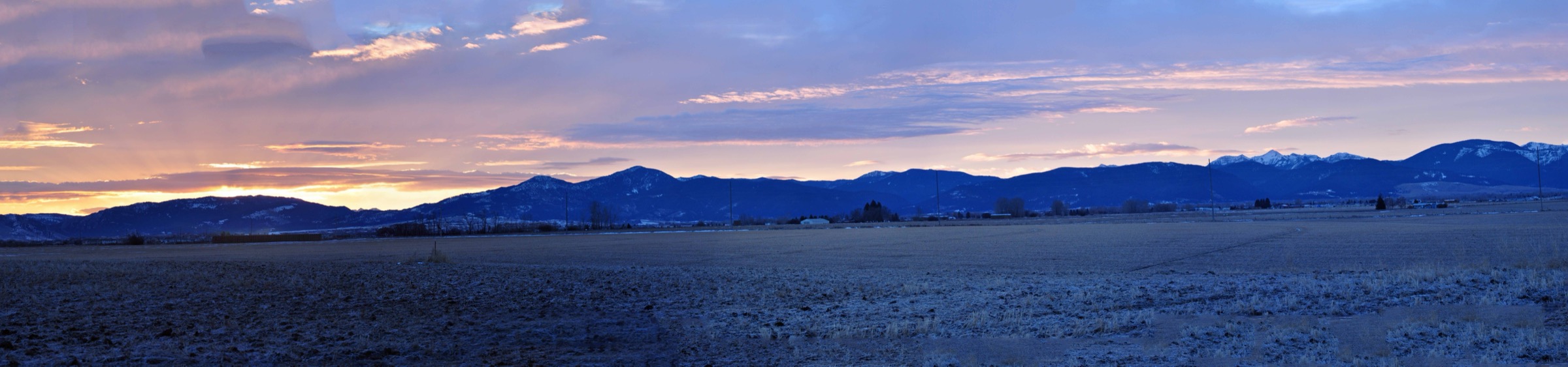
The Gallatin Range runs north–south for roughly 120 km (75 mi) from the northern boundary of Yellowstone National Park toward Bozeman, straddling the Montana–Wyoming line and separating the Gallatin River valley to the west from the Yellowstone River and Paradise Valley to the east. It is administered on the Montana side by the Custer Gallatin National Forest (Bozeman and Yellowstone ranger districts) and on the Wyoming side by the National Park Service at Yellowstone. Volcanic and limestone peaks, forested canyons, alpine tarns and open summit ridges give it a compact but full alpine profile, with the Bozeman-side Hyalite Canyon cluster and the Gallatin Canyon face providing most of the range’s heavily used day-hiking terrain.
Access is concentrated in three corridors. On the north the Hyalite Canyon Road climbs from Bozeman past Hyalite Reservoir to the trailheads for Hyalite Peak, Mount Blackmore and the Palace/History Lake basin — the busiest day-hike hub in southwest Montana. On the west the US Highway 191 / Gallatin Canyon corridor gives steep, direct trailhead-to-summit climbs including Storm Castle Peak and Garnet Mountain. On the south the Grand Loop Road inside Yellowstone accesses the historic Bunsen Peak trailhead just south of Mammoth Hot Springs. All three corridors carry seasonal road-status caveats: Hyalite Canyon Road opens after spring melt, Yellowstone’s interior roads follow the park’s spring/autumn schedule, and forest service roads on the Gallatin Canyon side can be rough or closed after storms.
The reliable snow-free walking season is mid-July to mid-September on the alpine summits and lakes; lower canyon and lookout routes open earlier and close later. Afternoon thunderstorms and lightning are the dominant summer risk on exposed ridges, and lingering snow is common on the highest routes into July. The entire range sits in grizzly-bear country — the Custer Gallatin National Forest and Yellowstone both treat the Gallatin as active bear habitat, and standard practice is to carry spray, hike in groups, make noise, and follow food-storage requirements. Trailhead pressure at Hyalite and Bunsen is heavy at weekends: early starts are effectively mandatory for both parking and thunderstorm avoidance.
See also: Gallatin Range · Yellowstone Plateau, Wyoming.
Selection rationale
The five walks below cover the main day-hike faces of the Gallatin Range. Hyalite Peak is the Bozeman-side alpine classic — waterfalls, alpine lake and a 10,000-foot summit in one long day. Mount Blackmore adds a historically named summit above Blackmore Lake on the same Hyalite side. Storm Castle Peak is the compact, steep viewpoint above Gallatin Canyon. Garnet Mountain adds the fire-lookout / working-forest summit tradition on the Gallatin Canyon side. Bunsen Peak closes the selection with the northern Yellowstone classic — a short, well-documented summit day with strong historical-geologic identity. Electric Peak was considered but is normally a very long, more committing day out from Yellowstone’s northern boundary. Lava Lake was excluded because it is more commonly treated with the Madison Range / Spanish Peaks catalogue rather than the Gallatin Range proper.
Summary table
| # | Hike | Country | Route type | Distance | Gain | Max elevation | Difficulty |
|---|---|---|---|---|---|---|---|
| 1 | Hyalite Peak via Hyalite Creek | USA | Out-and-back | ~23.5 km | ~1,045 m | ~3,123 m | Hard |
| 2 | Mount Blackmore via Blackmore Lake | USA | Out-and-back | ~19–21 km | ~900–1,050 m | 3,095 m | Hard |
| 3 | Storm Castle Peak | USA | Out-and-back | ~8.0 km | ~570 m | 2,184 m | Moderate–hard |
| 4 | Garnet Mountain Lookout | USA | Out-and-back | ~12.9 km | ~720 m | ~2,517 m | Moderate–hard |
| 5 | Bunsen Peak | USA | Out-and-back | 7.4 km | 396 m | ~2,610 m | Moderately strenuous |
1. Hyalite Peak via Hyalite Creek
Snapshot
Itinerary
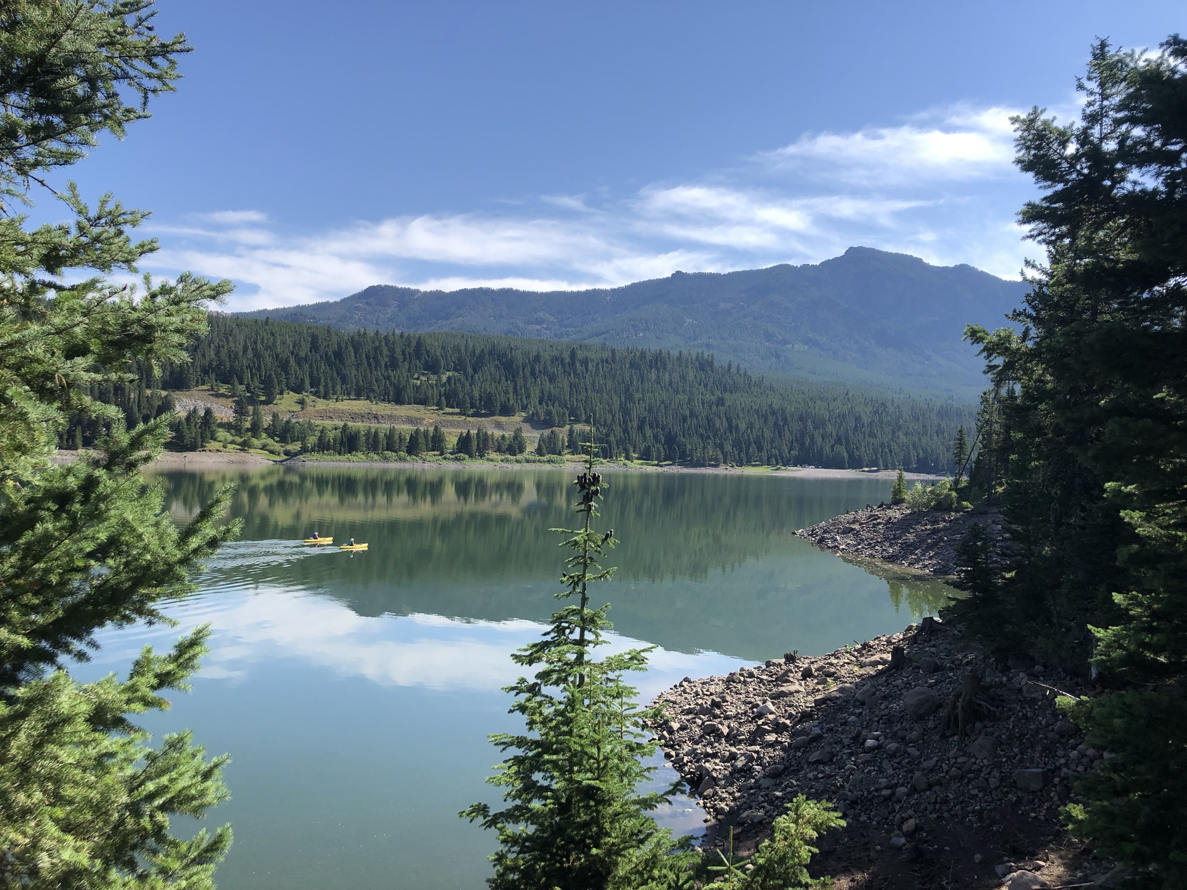
The route leaves the Hyalite Creek Trailhead at the upper end of Hyalite Canyon Road and follows Hyalite Creek upstream past a series of waterfalls, gaining slowly through mixed conifer forest and open avalanche paths. The middle section threads a chain of cascades — the Hyalite Creek falls are the trailhead’s other main draw — before the tread steepens on switchbacks to Hyalite Lake in an open sub-alpine basin. From the lake the trail climbs onto the alpine ridge and up open tundra to the summit of Hyalite Peak at approximately 3,123 m, the range’s signature Bozeman-side summit. The panorama takes in the Gallatin crest to the north, the Absaroka–Beartooth country to the east, and Yellowstone’s northern edge to the south. Descent reverses the route.
Why it is essential
Hyalite Peak is the Gallatin Range’s Bozeman-side flagship: a route that puts waterfalls, an alpine lake, tundra ridge and a 10,000-foot summit into one long line. It is the walk that most cleanly delivers the Hyalite Canyon character and the classic first big day for a fit visitor working out of Bozeman.
Equipment
- Sturdy mountain hiking boots and trekking poles for the sustained descent
- Rain and wind shell plus a warm layer for the summit
- Sun hat, high-SPF sunscreen and sunglasses — long open sections above treeline
- Minimum 3 L water and treatment for creek refills
- Bear spray, accessible on the pack
- Offline map and GPS with route loaded
- Headtorch for a long day
- Microspikes early in the season for lingering snow on the upper approach
Hazards and notes
- Long day at altitude — plan a dawn start and be off the summit before typical afternoon storm build-up.
- Lightning risk on the exposed alpine ridge from July into September.
- Snow commonly lingers on the upper route into July; verify current conditions before travel.
- Grizzly-bear presence is documented in Hyalite Canyon; carry spray and use bear-aware food handling.
- Hyalite Canyon Road is seasonal and can be gated in shoulder seasons; check the Custer Gallatin National Forest before travel.
- Trailhead parking fills early on summer weekends.
GPX / route file
| Source | URL | Format | Notes |
|---|---|---|---|
| USFS Custer Gallatin — Bozeman Ranger District | fs.usda.gov | Web page | Official managing authority; no GPX exposed |
| AllTrails — Hyalite Peak Trail | alltrails.com | Web page | Distance and elevation cross-check only — proprietary geometry, do not reuse |
Sources
2. Mount Blackmore via Blackmore Lake
Snapshot
Itinerary
From the Blackmore Trailhead on the Hyalite side, the route climbs through mixed conifer forest to Blackmore Lake, a small sub-alpine tarn beneath the Mount Blackmore massif. Beyond the lake the trail steepens on switchbacks up the shoulder of the mountain, breaking into open sub-alpine grass and scree as it climbs the summit ridge. The final approach follows the ridge to the summit at 3,095 m, with wide views back over Hyalite Canyon, north to Bozeman and the Bridger Range, and south along the Gallatin crest. Return is on the same line.
Why it is essential
Mount Blackmore is one of the range’s best-known named summits above Bozeman and the natural pair to the Hyalite Peak day. The lake-and-summit combination adds a historically named peak and an alpine-lake approach to the Hyalite side of the catalogue without duplicating Hyalite Peak’s cascade-and-cirque character.
Equipment
- Sturdy mountain hiking boots and trekking poles
- Rain/wind shell and warm layer for the summit
- Sun protection and sunglasses on the open ridge
- 2.5–3 L water and treatment for creek refills below the lake
- Bear spray
- Offline map and GPS
- Headtorch for late descents
Hazards and notes
- Exposed summit weather — lightning is the principal summer hazard; start early.
- Lingering snow on the upper ridge into July in cool years.
- Loose scree on the summit approach.
- Grizzly-bear presence documented in Hyalite Canyon.
- Trailhead parking fills quickly on summer weekends.
GPX / route file
| Source | URL | Format | Notes |
|---|---|---|---|
| Wikipedia — Mount Blackmore | en.wikipedia.org | Web page | Summit and context reference; not route geometry |
| AllTrails — Mount Blackmore Trail | alltrails.com | Web page | Distance and elevation cross-check only — proprietary geometry, do not reuse |
Sources
3. Storm Castle Peak
Snapshot
Itinerary
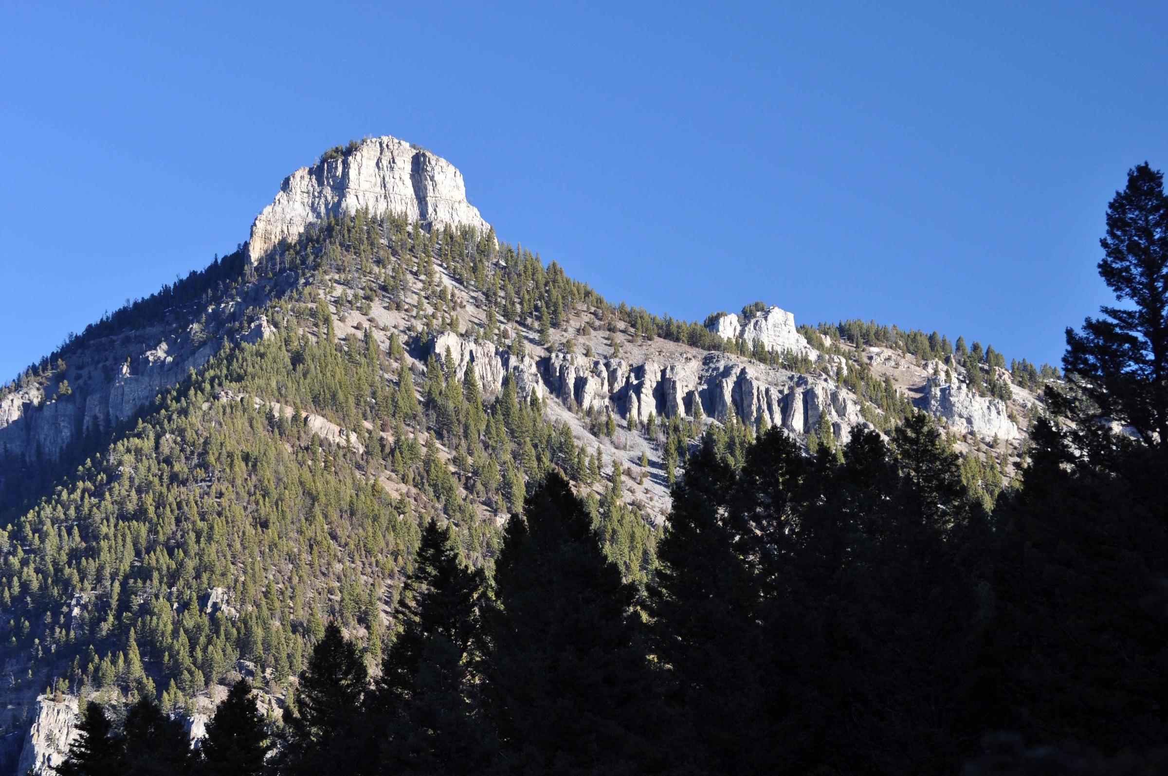
From the Gallatin Canyon trailhead the path climbs steeply through forest and open slopes toward the rocky bulk of Storm Castle. The tread is well-used but eroded in places, with short scrambly steps on rock as the trail approaches the summit ridge. The top gives direct views down Gallatin Canyon and across the surrounding Gallatin Range, with the highway visible far below. Return is on the same route.
Why it is essential
Storm Castle is the compact Gallatin Canyon classic — short, steep, instantly recognisable from US-191, and one of the range’s best half-day summit viewpoints. It is the walk that most efficiently delivers the Gallatin Canyon face of the range without a full alpine day, and the natural pairing for a shorter Hyalite trip.
Equipment
- Sturdy hiking shoes or boots — loose tread in the steep sections
- Trekking poles for the descent
- Water (1.5–2 L; no reliable water on route)
- Sun and heat protection in summer
- Wind/rain layer
- Bear spray
Hazards and notes
- Loose footing on the steep upper trail — take care on the descent.
- Heat and exposure on open slopes in midsummer; start early.
- Snow and ice make the upper trail hazardous outside the summer window.
- Lightning on the exposed summit in monsoon storms.
- Bears active in the drainage.
GPX / route file
| Source | URL | Format | Notes |
|---|---|---|---|
| Wikipedia — Storm Castle | en.wikipedia.org | Web page | Summit and rough route distance reference |
| AllTrails — Storm Castle Peak Trail | alltrails.com | Web page | Distance and elevation cross-check only — proprietary geometry, do not reuse |
Sources
4. Garnet Mountain Lookout
Snapshot
Itinerary
The route climbs forested slopes on the west face of the range toward the Garnet Mountain fire lookout at the summit, with a mix of trail tread and old lookout-access alignment. The summit clearing gives broad views across Gallatin Canyon to the Spanish Peaks and Madison Range to the west, north-east toward the Bridgers, and south along the central Gallatin crest. The lookout tower is a working forest structure and rentable through the USFS on some nights; day-hikers should respect any current occupants and not enter the tower without permission. Return is on the same route.
Why it is essential
Garnet Mountain adds the fire-lookout / working-forest summit tradition to the Gallatin selection and spreads the catalogue beyond the Hyalite and Yellowstone corridors. The lookout summit offers one of the best cross-canyon panoramas onto the Spanish Peaks and Madison Range available on a day-hike from the Gallatin Canyon side.
Equipment
- Sturdy hiking boots
- Trekking poles for the sustained climb
- 2–3 L water — no reliable water on route
- Sun and wind protection on the exposed summit
- Warm and rain layers
- Bear spray
- Traction if snow or ice remains on the upper trail
Hazards and notes
- Access road can be rough or seasonally closed; check current status with the Custer Gallatin National Forest.
- Sustained climb with limited water — plan the day for cooler hours.
- Lightning on the open summit; leave the top before typical afternoon storm build-up.
- Bears active in the drainage.
- Respect any current lookout renters at the summit.
GPX / route file
| Source | URL | Format | Notes |
|---|---|---|---|
| USFS Custer Gallatin — Bozeman Ranger District | fs.usda.gov | Web page | Official managing authority; no GPX exposed |
| AllTrails — Garnet Mountain Trail | alltrails.com | Web page | Distance and elevation cross-check only — proprietary geometry, do not reuse |
Sources
5. Bunsen Peak
Snapshot
Itinerary
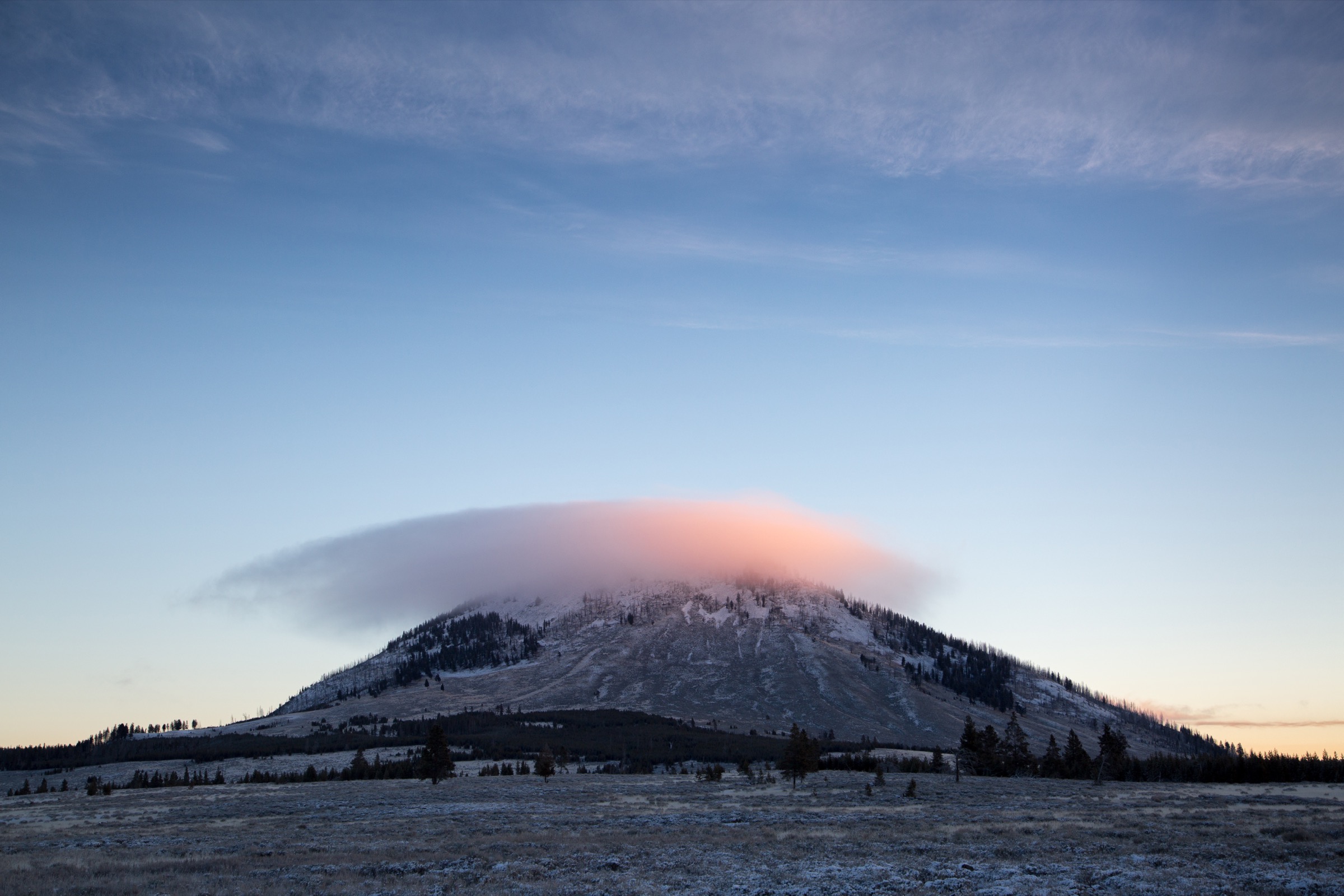
The trail leaves the small gravel lot just south of Golden Gate on the Grand Loop Road and climbs through forest and open meadow onto the southern flank of Bunsen Peak. The route is a steady grade — steep in places but with no exposed scrambling — that gains most of its 396 m through a series of switchbacks. The summit sits above treeline with panoramic views over Swan Lake Flat, the Blacktail Deer Plateau, the northern Gallatin Range crest, and the Yellowstone River valley toward Mammoth Hot Springs. Return is on the same route. Some parties extend the day by descending the north-east side to the Bunsen Peak Road and looping back via Osprey Falls, but that variant is a longer commitment beyond the scope of this day-hike.
Why it is essential
Bunsen Peak is the northern Yellowstone / Gallatin Range classic — a short summit day with strong historical-geologic identity (the peak is named after nineteenth-century physicist Robert Bunsen and is a remnant of a Yellowstone-era volcanic feature) and the only route in the Gallatin catalogue with official NPS route documentation. It is also the range’s best short-day summit for visitors already inside Yellowstone.
Equipment
- Sturdy trail shoes or light boots
- Trekking poles for the descent
- Water (1.5–2 L; no reliable water on route)
- Sun and wind protection — the summit ridge is exposed
- Warm and rain layers
- Bear spray, accessible on the pack
Hazards and notes
- Grizzly-bear country — NPS specifically notes bear presence; carry spray and follow park bear-aware practice.
- Small parking area fills early on summer weekends; plan a dawn start.
- Afternoon thunderstorms on the exposed summit; leave the top by early afternoon.
- Pets are not allowed on Yellowstone trails.
- Grand Loop Road access follows Yellowstone’s seasonal schedule; the trailhead is not accessible during winter road closures.
- Osprey Falls loop extension roughly doubles the day and adds sustained descent-and-reclimb on the Bunsen Peak Road.
GPX / route file
| Source | URL | Format | Notes |
|---|---|---|---|
| NPS Yellowstone — Bunsen Peak Trail | nps.gov | Web page | Official route page — no GPX/KML exposed |
Sources
Routes excluded as out of scope
The following sit inside or adjacent to the Gallatin Range but fall outside a day-hike entry or are better treated in a neighbouring catalogue.
- Electric Peak (Yellowstone). One of the range’s most striking summits and a definitive Yellowstone day out, but the round trip from the standard trailhead runs long enough that most parties treat it as a very long single day or as an overnight — outside the “essential day-hike” bracket.
- Lava Lake / Cascade Creek (US-191). A well-known Gallatin Canyon walk, but the lake sits in a drainage more commonly treated with the Madison Range / Spanish Peaks catalogue than with the Gallatin Range proper.
- Sacagawea Peak (Bridger Range). A frequent Bozeman-area classic, but part of the Bridger Range rather than the Gallatin.
- Osprey Falls / Bunsen Peak Road loop. A natural extension of the Bunsen Peak day but a substantially longer route — see the note under Bunsen Peak.
Further reading
| Source | URL |
|---|---|
| USFS Custer Gallatin National Forest | fs.usda.gov |
| USFS Custer Gallatin — Bozeman Ranger District | fs.usda.gov |
| NPS Yellowstone — Bunsen Peak Trail | nps.gov |
| NPS Yellowstone — Hiking | nps.gov |
| AllTrails — Hyalite Peak Trail | alltrails.com |
| AllTrails — Mount Blackmore Trail | alltrails.com |
| AllTrails — Storm Castle Peak Trail | alltrails.com |
| AllTrails — Garnet Mountain Trail | alltrails.com |
| Wikipedia — Gallatin Range | en.wikipedia.org |
| Wikipedia — Mount Blackmore | en.wikipedia.org |
| Wikipedia — Storm Castle | en.wikipedia.org |
| Wikipedia — Bunsen Peak | en.wikipedia.org |
Missing data / follow-up work
- No official USFS or NPS GPX/KML files are published for the Gallatin Range trails covered here; route geometry can be exported from OpenStreetMap or CalTopo for planning.
- Route statistics for Hyalite Peak, Mount Blackmore and Garnet Mountain are from secondary sources; verify against USFS Custer Gallatin topographic mapping before travel.
- No licence-compatible photographs of Hyalite Peak, Mount Blackmore or Garnet Mountain were located in this pass. A candidate Wikimedia Commons image exists for Storm Castle and an NPS image exists for Bunsen Peak, but reuse status was not fully resolved; verify Commons file pages and NPS image credit before use.
- Hyalite Canyon Road, Storm Castle Creek Road and the Yellowstone Grand Loop have distinct seasonal opening dates; confirm current road status with the Custer Gallatin National Forest and NPS Yellowstone before planning.
- Grizzly-bear presence in the northern Gallatin is well documented; the Custer Gallatin National Forest and Yellowstone should be consulted for current bear-management updates before any trip.