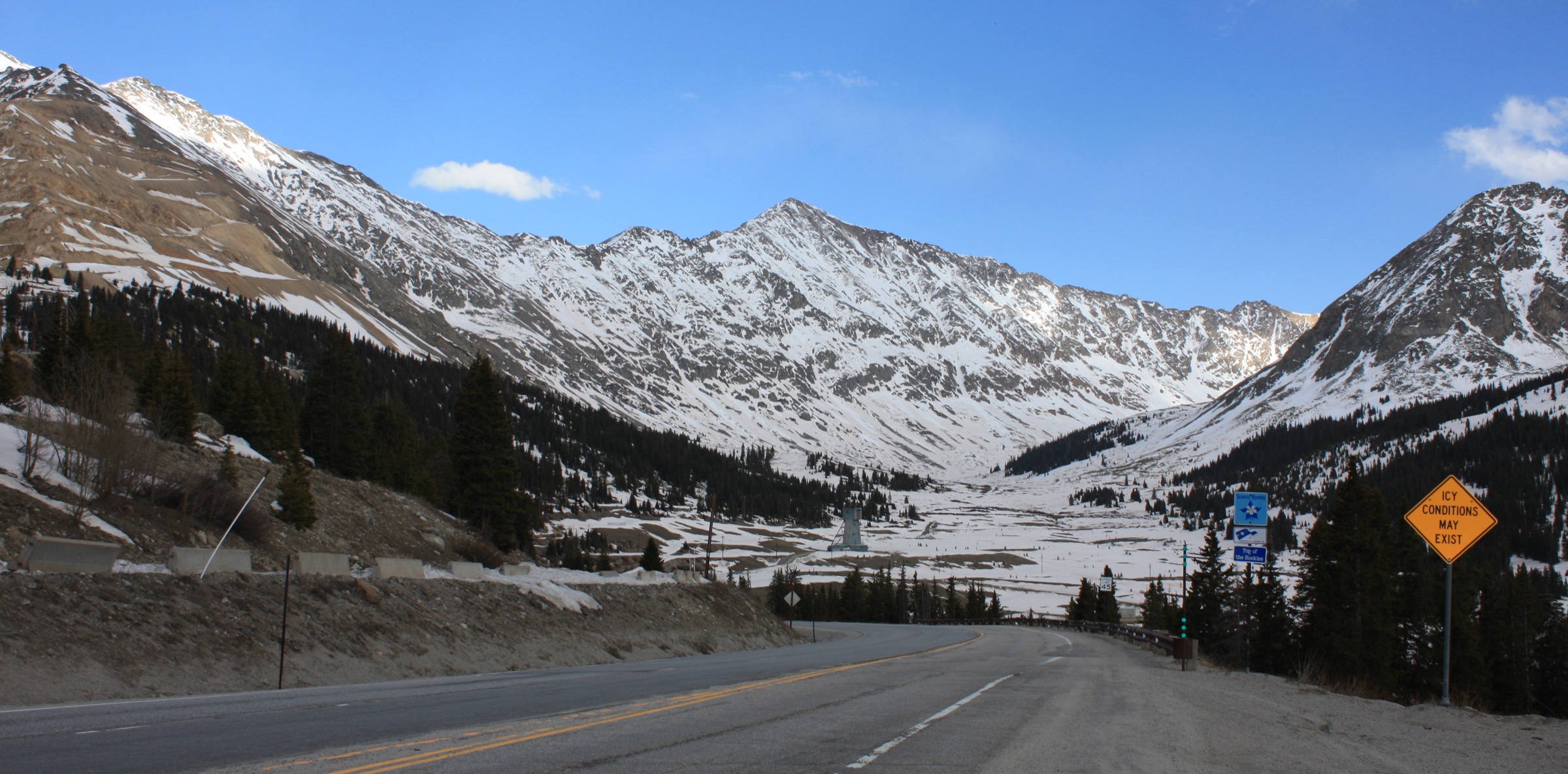
Regional overview
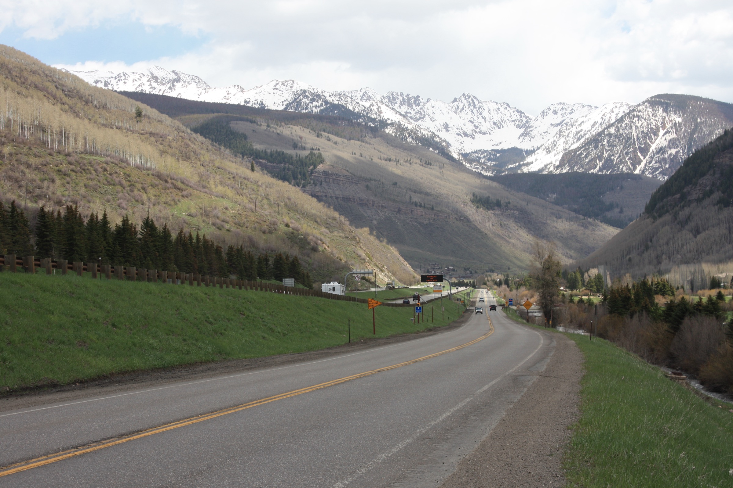
The Mosquito Range is a compact, high, north–south crest that runs for roughly 55 km through central Colorado, from Hoosier Pass (3,542 m) on Colorado Highway 9 in the north to Trout Creek Pass on US 24 / US 285 in the south. It divides the broad grassland of South Park to the east from the upper Arkansas Valley to the west, and geologically forms one continuous ridge with the Tenmile Range on the far side of Hoosier Pass. The northern cluster is defined by six named peaks above 4,200 m: Mt. Democrat (4,313 m), Mt. Cameron (4,340 m), Mt. Lincoln (4,354 m), Mt. Bross (4,320 m) and Mt. Sherman (~4,278 m) are the fourteeners of the range, and Mt. Silverheels (4,215 m) and Horseshoe Mountain (~4,241 m) are the most-visited of its high thirteeners. Above roughly 3,600 m the terrain is broad tundra, talus and scree with little technical relief; below tree-line, montane forest of lodgepole pine, Engelmann spruce, subalpine fir and aspen predominates.
The range is exceptional for the depth of its hard-rock mining history. Silver, lead and gold were worked from the London, Hilltop, Dauntless, Sweet Home and Kentucky Belle mines and countless smaller workings from the 1860s onward, and ruined stamp mills, tramways, headframes and mine dumps still stand along almost every standard hiking line. The 1861 smallpox epidemic at Buckskin Joe, one of the earliest boomtowns on the east side of the range, gave the Silverheels legend its shape — a dance-hall performer who nursed miners through the outbreak, then disappeared, whose name was later attached to the range’s most iconic South Park peak. The archaeology is genuinely useful for orientation on the standard routes; it is also a serious hazard off-trail, where unmarked shafts, adits and rotten timbering are frequent.
The core hiking season is mid-June to late September. Snow lingers on north-facing slopes and on the DeCaLiBron descent well into July in cold years, and the standard Kite Lake and Fourmile Creek approach roads are typically snow-closed until early June. Colorado’s mid-summer thunderstorm cycle is severe: the exposed tundra of the crest offers no shelter, and any party on the high routes should aim to be off summits and open ridges by 12:00. Winds of 40–80 km/h are common on the crest even in fair weather.
Main access is from Alma and Fairplay on US 285 for the eastern trailheads (Kite Lake, Hoosier Pass, Fourmile Creek / Leavick, Rich Creek), and from Leadville on US 24 for the Iowa Gulch approach to Mt. Sherman. There is no scheduled public transport to any of the trailheads listed below, and cell coverage is unreliable across most of the range. Two access issues shape 2026 planning and should be reconfirmed before travel. First, the Kite Lake road (Park County 8 / NFSR 8), the only legal approach to the DeCaLiBron loop, was closed from 1 September to 15 November 2025 for a full reconstruction of the road, parking and toilet facilities; access is expected to resume for the 2026 summer season, but the exact reopening date must be confirmed with the Pike–San Isabel National Forest South Park Ranger District. Second, the Mt. Bross summit remains closed to hikers following the September 2025 transfer of 480 acres of the loop trail below the summit to the Pike–San Isabel National Forest by The Conservation Fund; Mt. Lincoln continues to sit on private mining claims where the landowner requires a QR-code liability waiver to be signed at the trailhead kiosk before ascent. Verify current status via the Colorado Fourteeners Initiative (14ers.org) before travel.
For neighbouring sub-regions of the Colorado Rockies, see Mount Elbert and the Leadville Sawatch directly across the Arkansas Valley (the range’s highest summits, and the natural pairing with a Mosquito trip), the Collegiate Peaks further south, and the Indian Peaks and Pikes Peak entries on the Front Range across South Park.
See also: Tenmile Range, Colorado day-hikes (Quandary, McCullough Gulch, Peak 1) · Park Range and Steamboat, Colorado day-hikes.
Selection rationale
The five hikes below span the Mosquito Range’s principal landscape and cultural themes from Hoosier Pass in the north to the Buffalo Peaks Wilderness in the south. The northern cluster is represented by the DeCaLiBron loop from Kite Lake, the range’s signature high route and the highest-density fourteener day in Colorado, and by Mt. Sherman via Fourmile Creek, long considered one of the two most approachable 14er ascents in the state. Horseshoe Mountain from the Leavick townsite carries the range’s finest glacial cirque and its most photogenic surviving mill site. Mt. Silverheels from Hoosier Pass is the visual anchor of South Park and the only route on the list tied directly to a named piece of Colorado mining-camp folklore. The Rich Creek / Rough and Tumbling Creek loop in the Buffalo Peaks Wilderness covers the range’s only designated wilderness area and its best forested, beaver-pond and meadow walking — a deliberate landscape counterpoint to the tundra character of the other four.
Together the set covers north-to-south range extent, mixes two 14ers, two prominent 13ers and one subalpine wilderness loop, and gives a working catalogue that can be walked across three to five days from a base in Fairplay, Alma or Leadville.
Summary
| # | Hike | Trailhead | Route type | Distance | Gain | Max elevation | Difficulty |
|---|---|---|---|---|---|---|---|
| 1 | DeCaLiBron Loop (Democrat–Cameron–Lincoln, Bross bypass) | Kite Lake | Loop | 11.3–11.7 km | ~1,050–1,130 m | 4,354 m | Strenuous |
| 2 | Mt. Sherman — Fourmile Creek / SW Ridge | Fourmile Creek (Iowa Gulch) | Out-and-back | 8.0–8.9 km | ~610–670 m | ~4,278 m | Moderate |
| 3 | Horseshoe Mountain — East Slopes | Leavick townsite | Out-and-back | ~12.9 km | ~700 m | ~4,241 m | Moderate |
| 4 | Mt. Silverheels — Hoosier Ridge / North Spur | Hoosier Pass | Out-and-back | 13.7–15.9 km | ~1,070–1,140 m | 4,215 m | Strenuous |
| 5 | Rich Creek / Rough and Tumbling Creek Loop | Rich Creek (NFSR 431) | Loop | ~18.8 km | ~580 m | ~3,510 m | Moderate |
1. DeCaLiBron Loop from Kite Lake
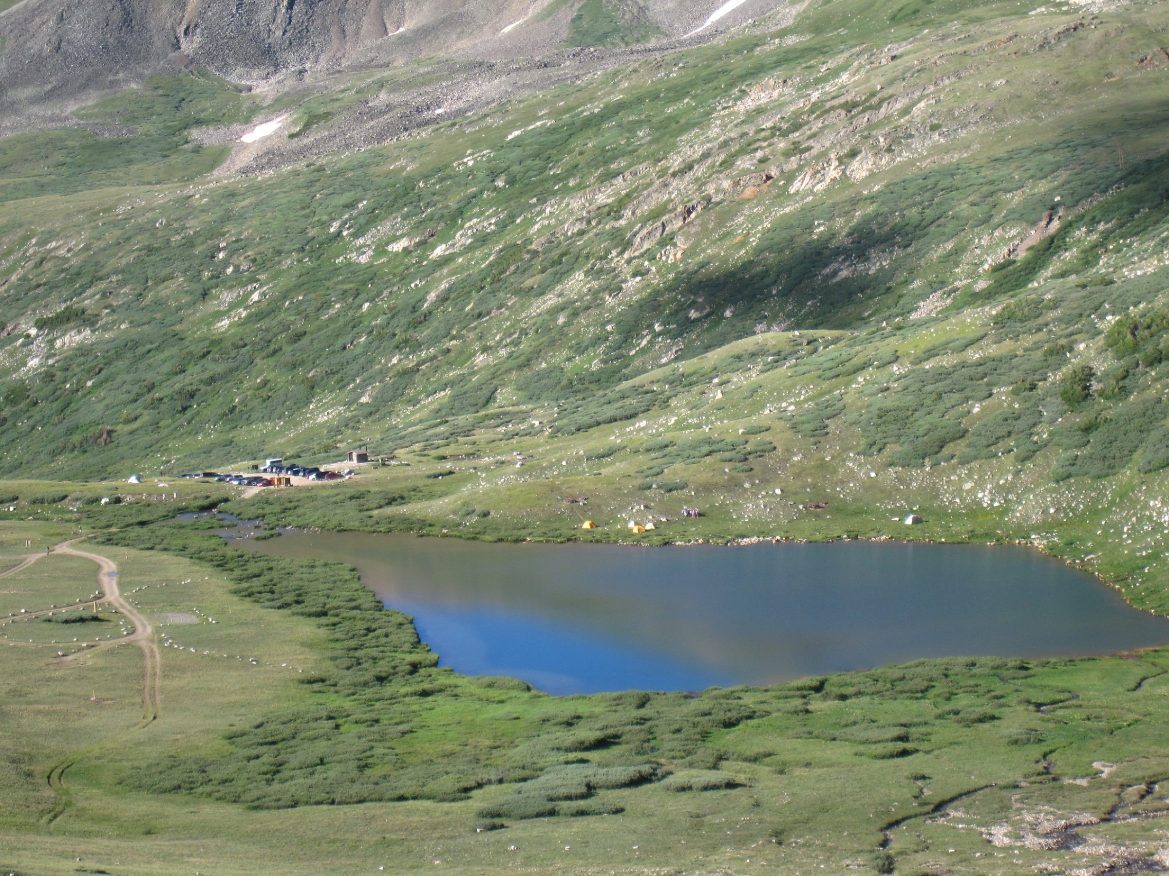
Snapshot
Itinerary
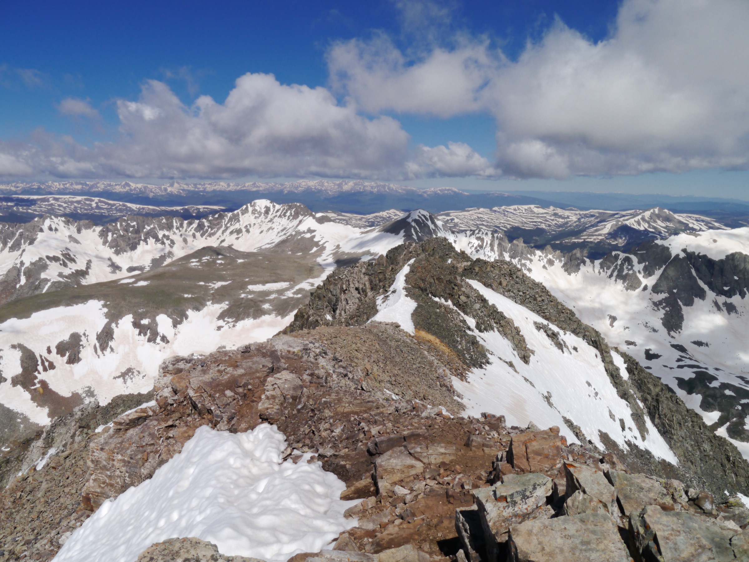
From the Kite Lake Trailhead the trail crosses the outlet stream and climbs west up the tundra basin below Mt. Democrat’s east face, passing the ruins of the Kentucky Belle Mine on the way to the Democrat–Cameron saddle at ~4,050 m. A short spur climbs west from the saddle onto the Democrat summit ridge and follows a boulder path with one steep Class 2 step to the summit of Mt. Democrat (4,313 m). Returning to the saddle, the route turns east and climbs the broad rubble ridge of Mt. Cameron (4,340 m) — a subsidiary summit not counted on some fourteener lists because of insufficient prominence, but the geographic pivot of the loop. Cameron’s flat summit plateau leads north-east across a short saddle to Mt. Lincoln (4,354 m), the range’s high point, whose steeper summit block is gained by a short scramble on blocky rock.
From Lincoln the line retraces south-east across Cameron’s plateau to the top of a distinct broad ridge dropping east toward Bross. This is where the Bross-summit closure applies: the DeCaLiBron bypass trail traverses south below the summit at around 4,290 m without ascending the private ground, and rejoins the standard descent trail on Bross’s south-west shoulder. The rebuilt switchback trail then drops steeply back to Kite Lake through loose scree and mine tailings. Total round trip is most commonly quoted as 7.0–7.25 mi (11.3–11.7 km) with 3,450–3,700 ft (~1,050–1,130 m) of gain, depending on which combination of summit spurs is included.
Why it is essential
The DeCaLiBron is the highest-density fourteener day in Colorado: no other route in the state links four named 14,000 ft summits (three with sufficient prominence, plus subsidiary Cameron) in a single day-hike loop under 12 km. It is the definitive route of the northern Mosquito Range, and any regional list must include it. The line also traces some of the most complete mining archaeology in the Colorado alpine, with visible workings and structures at the Kentucky Belle, Russia and Cameron Amphitheatre mines still standing along the trail.
Equipment
- Sturdy boots and trekking poles — the Bross descent is loose scree end-to-end
- Warm insulated layer, waterproof and windproof shell, hat and gloves
- 2 L water minimum; there is no reliable resupply above Kite Lake
- High-SPF sun protection — UV at 4,300 m is severe even in cloud
- Signed liability waiver for Lincoln (QR code kiosk on the Kite Lake road)
- Offline map and headtorch for late descents
- Microspikes only if attempting before mid-June or after early October
Hazards and notes
- The entire route sits above 3,600 m; acclimatisation is a real planning issue for parties from sea level.
- Lightning risk is severe on the summits and connecting ridges; be off Lincoln and Cameron by 12:00 in mid-summer.
- The Mt. Bross summit is private land and legally closed; use only the marked bypass trail below the summit.
- Mt. Lincoln access requires the landowner QR-code liability waiver signed at the trailhead kiosk. Verify current status with 14ers.org and the Town of Alma before travel.
- The Kite Lake road (NFSR 8 / Park CR 8) was closed from 1 September to 15 November 2025 for reconstruction. Confirm 2026 reopening with the Pike–San Isabel National Forest South Park Ranger District before travel — the DeCaLiBron cannot be legally accessed without this road.
- DeCaLiBron access is fluid — private-land arrangements have shifted year on year since 2021 and CFI (14ers.org) is the single most reliable point of truth.
- The Kite Lake road is unpaved, dusty and often rough; passenger cars can typically reach the trailhead when the road is open.
- A parking fee is charged at Kite Lake.
- Dogs are permitted but must be leashed on-trail and kept off private-claim sections.
2. Mt. Sherman — Fourmile Creek / South-West Ridge
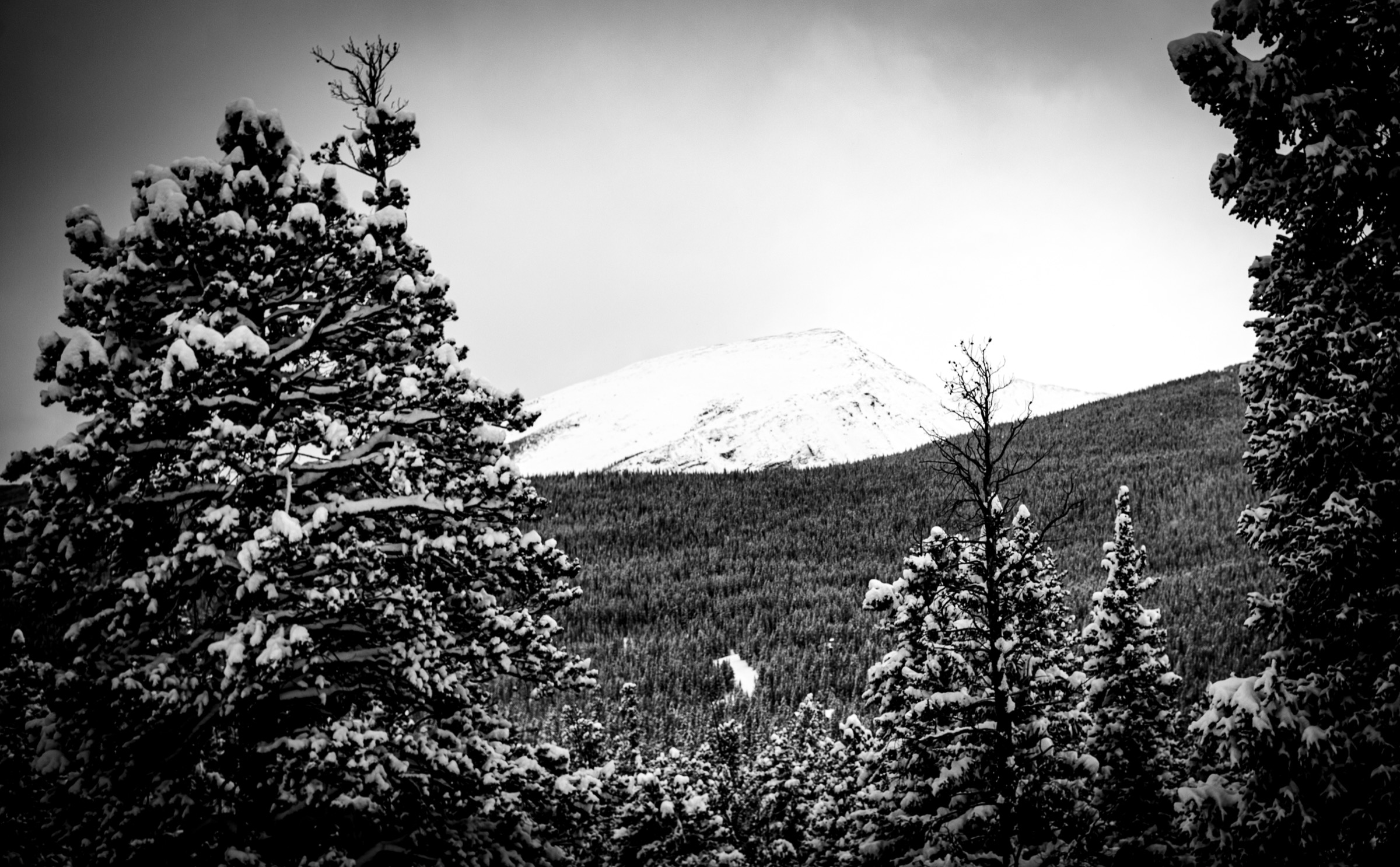
Snapshot
Itinerary
From the Fourmile Creek Trailhead, the route follows the old mine road east up Fourmile Creek, passing the ruined Dauntless Mine and then the well-preserved timber and iron of the Hilltop Mine — one of the best-conserved late-19th-century silver-mining structures visible from any Colorado fourteener trail. The road climbs steadily to the Sherman–Sheridan saddle at approximately 4,000 m. From the saddle a marked trail turns north and climbs the south-west ridge on a rocky path, gaining the summit ridge in a series of steep steps and short scree slopes. The final 300 m is a broad, rocky walk to the summit cairn at ~4,278 m.
Descent is by the same line. Some hikers extend the day by continuing from the saddle south to add Mt. Sheridan (4,192 m, 13,748 ft — Class 2, +1.5 km / +180 m round-trip), a widely repeated variant that pairs a 14er with an adjacent named 13er in a single outing. Distance and gain figures for Sherman vary between sources primarily because of where cars can be parked: the road above Iowa Gulch is often driveable in a passenger car to about 3,590 m (5.2–5.5 mi round-trip, ~2,100 ft gain), while high-clearance vehicles can reach the upper gate at ~3,700 m (about 5.0 mi, ~2,000 ft gain).
Why it is essential
Mt. Sherman is widely considered one of the two most approachable fourteeners in Colorado. The combination of a very high trailhead, a well-defined old-road grade for most of the ascent and no technical scrambling makes it a common first-fourteener choice, and its position at the southern end of the northern-Mosquito high cluster means the view north from the summit spans the whole DeCaLiBron horizon in a single frame. The route also passes some of the best-preserved late-19th-century silver-mining infrastructure in the range, and as the only easily-accessed 14er south of the Kite Lake cirque it is essential to any Mosquito Range catalogue.
Equipment
- Sturdy boots and trekking poles for the scree descent
- Wind shell and insulated layer — the summit ridge is fully exposed to west winds
- 2 L water; no supplies above the trailhead
- Hat, gloves and sun protection
- Offline map — the summit ridge is cairned but not signed
- Microspikes for early-season lingering snow on the Sherman–Sheridan saddle
Hazards and notes
- Thunderstorm exposure on the summit ridge is severe — standard “off by noon” advice applies through July and August.
- Unmarked mine shafts and adits are present on both sides of the Sherman–Sheridan saddle; stay on the trail.
- The upper Fourmile road can be snow-blocked until early June and after mid-October.
- Winds on the summit ridge are frequently very strong even in fair weather.
- Vault toilets at the lower parking area; no water source at the trailhead.
3. Horseshoe Mountain — East Slopes (Leavick townsite)
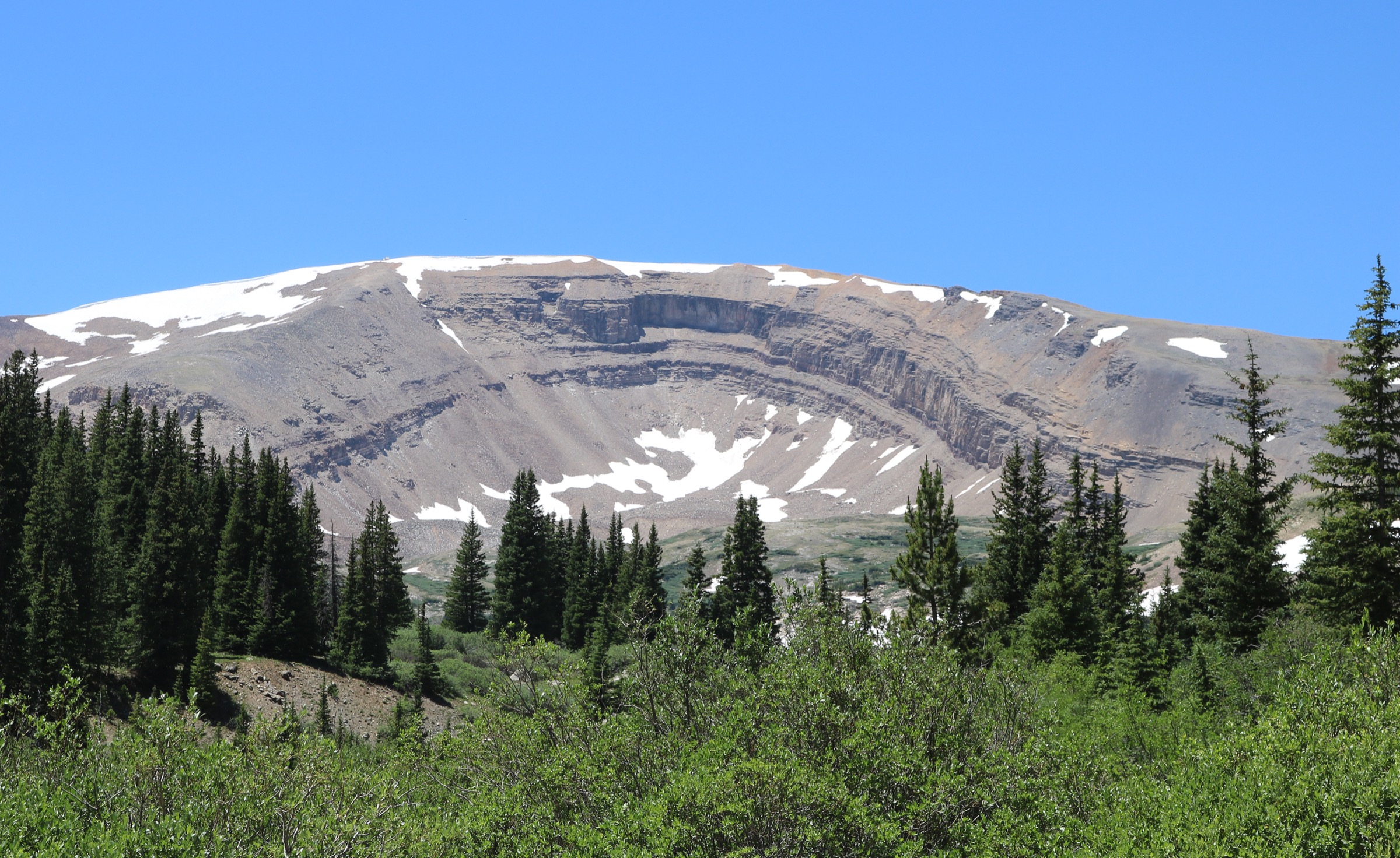
Snapshot
Itinerary
From the Leavick townsite parking area the route follows the old Horseshoe Mine road west-north-west, climbing gently through the historic Leavick mill ruins at the base of the cirque. Above about 3,700 m the road forks — a rough 4WD spur branches right and continues to around 4,020 m near the base of Horseshoe’s east cirque, but walking the road is straightforward. From the road end, a well-defined foot-track climbs north-west up tundra slopes into the vast, glacially-carved horseshoe-shaped amphitheatre that gives the mountain its name. The head of the cirque is gained at a saddle at approximately 4,000 m, from where the summit ridge climbs south-west on broad tundra to the flat summit plateau at ~4,241 m. Return is by the ascent line.
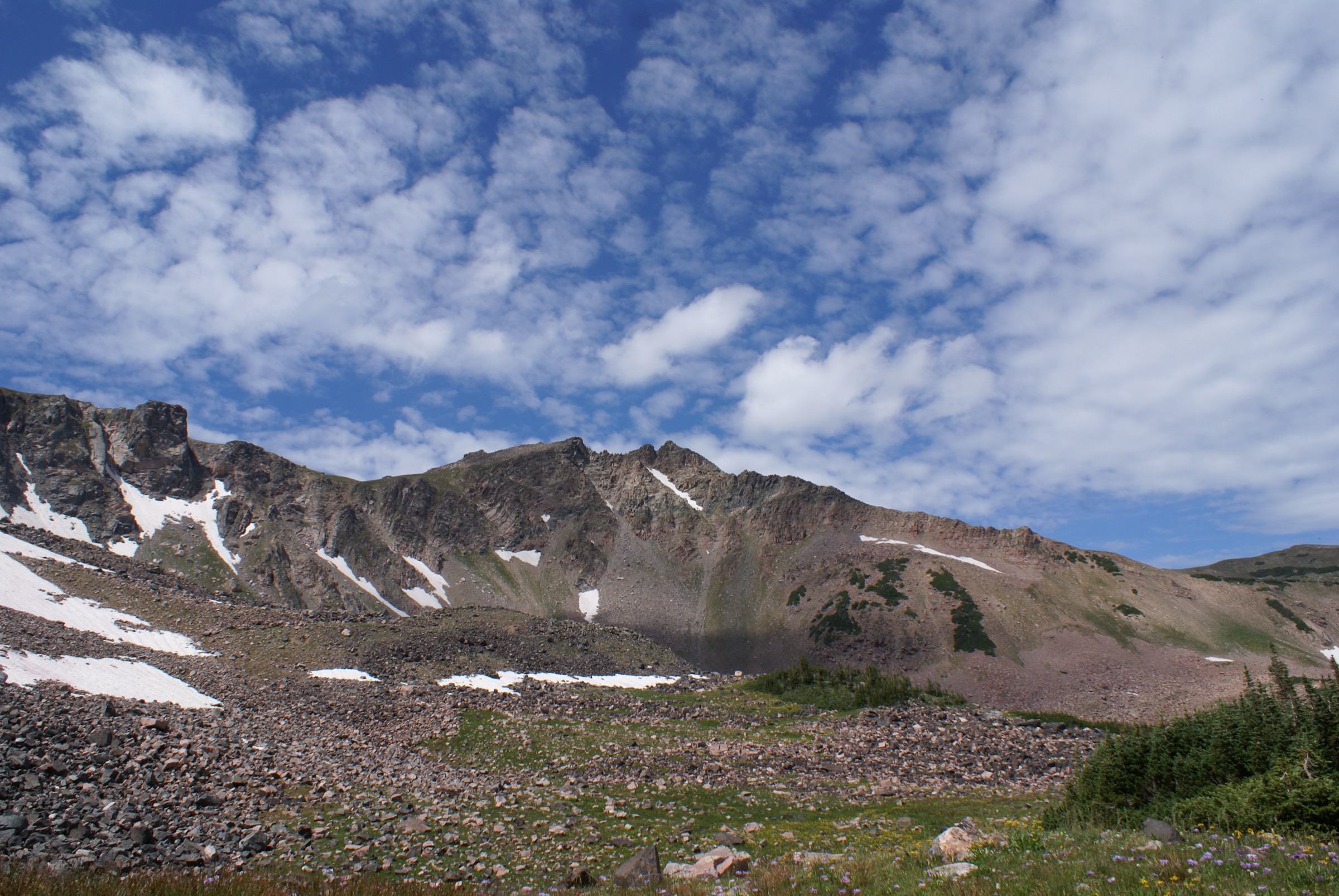
The cirque itself — a near-perfect north-east-facing amphitheatre several hundred metres deep, with a distinct arête framing each end — is one of the best-defined and most photogenic glacial features in the range, and holds snow on its shaded south wall into late July. The Leavick townsite at the trailhead was the mill and settlement for the Hill-top / Horseshoe mining district, and the surviving mill structures are among the best in situ examples of late-19th-century Mosquito Range industrial architecture.
Why it is essential
Horseshoe Mountain is widely regarded as one of the best “beginner” high thirteeners in Colorado: gentle grades, a clear line on old mining roads and a spectacular alpine amphitheatre make it a very rewarding introduction to Mosquito Range alpine terrain. It is also the historical anchor of the London / Horseshoe mining district, with the ruined Leavick townsite and stamp mill still standing at the trailhead. A catalogue built around the range’s fourteeners must also carry one of its distinctive thirteeners; Horseshoe is the most visited, the most easily interpreted from the trail, and the most photogenic.
Equipment
- Sturdy boots and trekking poles for the tundra descent
- Wind shell and insulated layer — the summit plateau is fully exposed
- 2 L water; no supplies above the road-end
- Sun protection and headtorch
- Microspikes for early-season lingering snow in the cirque
Hazards and notes
- Thunderstorm exposure on the summit plateau is severe; be off by 12:00 in mid-summer.
- Old mine shafts and adits are scattered across the cirque floor; stay on visible tread.
- Park CR 18 (Fourmile Creek Road) is gravel and typically passable by passenger car to the Leavick townsite when the road is snow-free, roughly mid-June to mid-October. Beyond Leavick the road becomes 4WD-only.
- No water above the road-end; carry all supplies for the ascent.
4. Mt. Silverheels — Hoosier Ridge / North Spur
Snapshot
Itinerary
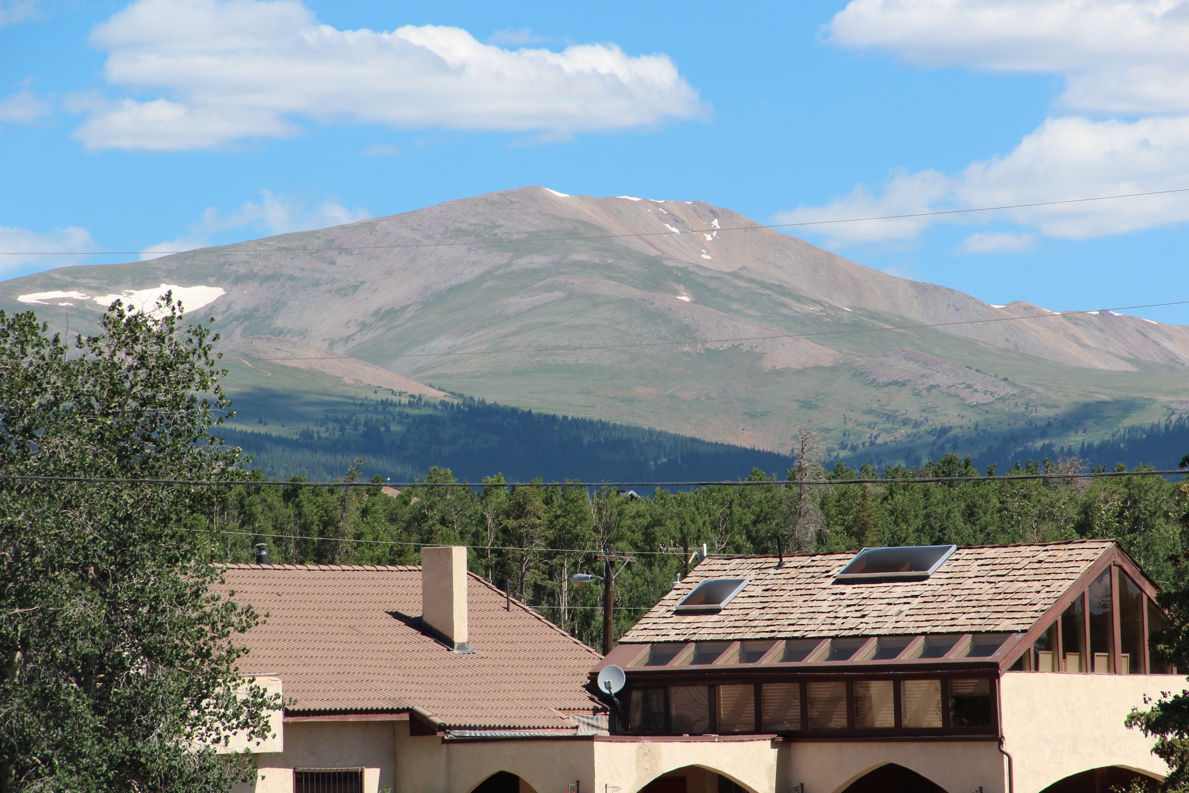
From the Hoosier Pass parking area on Colorado 9 (the pass between Alma and Breckenridge), the route crosses the highway and follows a closed road east through the trees to the west end of Hoosier Ridge. The trail emerges above tree-line at ~3,700 m and follows the broad grassy ridge east over a series of unnamed 3,900 m tundra bumps to a saddle around 3,780 m below a set of high-voltage power lines. Beyond the powerlines one final broad hump on the connecting ridge is crossed to reach the 3,780 m saddle at the base of Silverheels’s north face.
From the saddle a rib climbs directly south, gaining angle progressively. Near ~3,900 m the route angles right (south-west) up steep tundra and small talus to gain the summit ridge at ~4,115 m. The summit itself lies a short walk south-east along an easy ridge at 4,215 m. Return is by the same line. Route statistics vary substantially between sources: the widely referenced 14ers.com “North Spur from Hoosier Pass” quotes 9.2 mi and 3,733 ft of gain, while other sources cite 8.5 mi and 2,949 ft. The discrepancy reflects whether accumulated re-ascent on the return leg is counted and whether the route is measured from the exact pass parking area or from a lower pullout on Colorado 9. An alternative approach via Beaver Ridge from a pullout south of Hoosier Pass is shorter (~12 km) but crosses open forest with faint route and requires real route-finding.
Why it is essential
Mt. Silverheels is the range’s most visually recognisable non-14er summit — a broad, symmetrical mountain that dominates the north-west skyline of South Park and is visible from Fairplay, Alma and much of US 285. It is tied to one of the most enduring Colorado mining-camp legends: the story of “Silverheels”, a dance-hall performer at the Buckskin Joe camp said to have nursed miners through the 1861 smallpox epidemic and then disappeared, in whose honour the mountain was reportedly named. The route is strenuous but non-technical, and the summit provides the finest overview of the DeCaLiBron cluster from the east — the whole northern crest of the range spread out across the head of Alma valley.
Equipment
- Sturdy boots and trekking poles for the long ridge
- Warm insulated layer and a windproof shell — the ridge is fully exposed to west winds and there is no shelter for the full day
- 2.5 L water minimum; no supplies on the ridge
- Sun protection and headtorch
- Offline map and navigation backup — the upper ridge is not blazed or signed and requires care in cloud
Hazards and notes
- Long, exposed ridge walking above tree-line makes thunderstorm exposure significant; start early and be off the ridge well before mid-afternoon.
- Substantial re-ascent on the return (roughly 200 m in cumulative gain to reclimb the Hoosier Ridge bumps) — factor into pacing.
- Trailhead parking at Hoosier Pass fills early on summer weekends.
- The route above tree-line is not blazed or signed; navigation is straightforward in good visibility but should be treated as off-trail in cloud.
- No water on the ridge; carry all supplies.
5. Rich Creek / Rough and Tumbling Creek Loop, Buffalo Peaks Wilderness
Snapshot
Itinerary
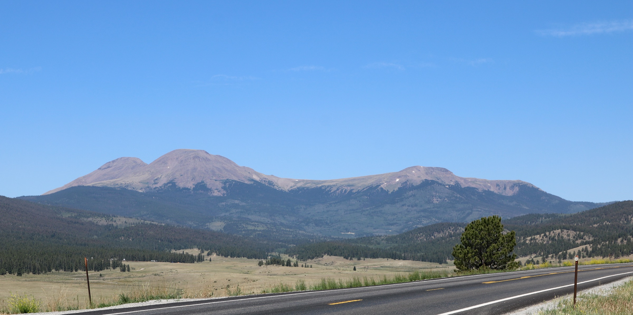
From the Rich Creek Trailhead the loop is most commonly walked counter-clockwise. The Rich Creek Trail (USFS #616) climbs steadily west up Rich Creek through mixed lodgepole pine, spruce–fir and aspen, passing an extensive complex of beaver ponds and open meadows in the middle section. About 8 km in, the trail crests a broad grassy pass at ~3,510 m below the north face of West Buffalo Peak. From the pass the East and West Buffalo Peaks (both above 4,050 m) rise directly to the south — good views, but they are not on the standard loop and require significant off-trail work to summit.
The trail then descends into Buffalo Meadows, an expansive grass-and-willow park at the head of the Middle Fork of the South Platte, before joining the Rough and Tumbling Creek Trail (USFS #617). Rough and Tumbling then follows the creek back east through steeper forest and returns to the Rich Creek Trailhead. The loop is entirely within the Buffalo Peaks Wilderness and does not summit either Buffalo Peak; those are strenuous off-trail add-ons.
Why it is essential
Buffalo Peaks Wilderness is the only designated wilderness area in the Mosquito Range — 41,232 acres, congressionally designated in 1993, protecting the volcanic Buffalo Peaks and the headwaters of the Middle Fork of the South Platte. The Rich Creek / Rough and Tumbling Creek loop is the range’s best forested, wildlife-rich hike and provides an essential landscape counterpoint to the tundra-dominated alpine routes elsewhere in the range: extensive beaver-pond complexes, willow parks, grassy alpine passes and views of the twin volcanic Buffalo Peaks. It also provides one of the few Mosquito Range day-hikes suitable for less-acclimatised parties, as the maximum elevation stays around 3,500 m.
Equipment
- Standard to mountain hiking equipment; sturdy trail shoes are adequate
- Trekking poles helpful on the pass descent
- 2 L water with a treatment plan — creek refills are reliable
- Insect repellent (essential in June and early July on the beaver-pond section)
- Bear-aware food handling; black bears are present in the wilderness
Hazards and notes
- NFSR 431 has a seasonal wildlife closure to vehicles: entry by foot or horse only from 1 January to 15 June. Confirm current status with the South Park Ranger District.
- Wilderness area rules apply: group size limit typically 15 people/pack animals combined; dogs on leash; no mechanised or motorised use; Leave No Trace expected.
- Willow-choked meadows can hide the tread in the middle section; navigation care is needed after fresh snowfall.
- Late-summer creek crossings are usually easy; they can be more serious in June snowmelt.
- Mosquito pressure in June and early July on the beaver-pond section is intense — the wilderness is named after the mountain, not the insect, but repellent is essential.
Routes excluded as out of scope
The following sit inside or adjacent to the Mosquito Range but fall outside a five-hike day-hike catalogue, are duplicative of the routes above, or fail on access or legality.
- Mt. Bross summit. Legally closed since the September 2025 Conservation Fund transfer and long a subject of private-land disputes; the DeCaLiBron loop entry uses the signed bypass. Ascending the summit is trespass under current arrangements.
- East and West Buffalo Peaks. Strenuous off-trail add-ons from the Rich Creek / Buffalo Meadows loop, with faint route and volcanic scree on the summit block. Better as an ambitious extension to entry 5 than as a stand-alone day.
- Mt. Sheridan (from the Sherman–Sheridan saddle). A common bag-two variant added to Mt. Sherman rather than a separate hike; a short side-trip from entry 2 for parties with the time and legs.
- Loveland Mountain, Mt. Cameron and Traver Peak as stand-alone 13er / sub-14er outings. The northern Mosquito 13ers are either subsidiary summits already crossed on the DeCaLiBron (Cameron) or minor bumps that duplicate the tundra character of entries 1 and 4.
- Ptarmigan Peak (Hoosier Pass area). A worthy short 13er outing above Hoosier Pass, but the range’s Silverheels line from the same trailhead is the more distinctive walk.
- The Tenmile Range summits. Quandary Peak, Peak 10 and the Tenmile / Breckenridge cluster north of Hoosier Pass are geologically continuous with the Mosquito Range but are covered separately.
Further reading
| Source | URL |
|---|---|
| Colorado Fourteeners Initiative — Mosquito Range peak pages | 14ers.org |
| USDA Forest Service — Pike–San Isabel National Forests, South Park Ranger District | fs.usda.gov |
| USFS — Mount Sherman (Fourteener) | fs.usda.gov |
| USFS — Buffalo Peaks Wilderness | fs.usda.gov |
| USFS — Rough and Tumbling Creek Trail #617 | fs.usda.gov |
| USFS — Land on ‘14er’ Mount Bross permanently added to national forest (Sept 2025) | fs.usda.gov |
| The Conservation Fund — Land on Mount Bross | conservationfund.org |
| 14ers.com — DeCaLiBron Combination Route | 14ers.com |
| 14ers.com — Mt. Sherman | 14ers.com |
| 14ers.com — Horseshoe Mountain East Slopes | 14ers.com |
| 14ers.com — Mount Silverheels North Spur | 14ers.com |
| Colorado Trail Explorer (COTREX) — Buffalo Peaks Rich Creek to Tumble Creek Loop | trails.colorado.gov |
| Wikipedia — Mount Sherman | en.wikipedia.org |
| Wikipedia — Mount Silverheels | en.wikipedia.org |
| Wikipedia — Buffalo Peaks Wilderness | en.wikipedia.org |
| Wilderness Connect — Buffalo Peaks Wilderness | wilderness.net |
| OpenStreetMap (ODbL 1.0) | openstreetmap.org |