Regional overview
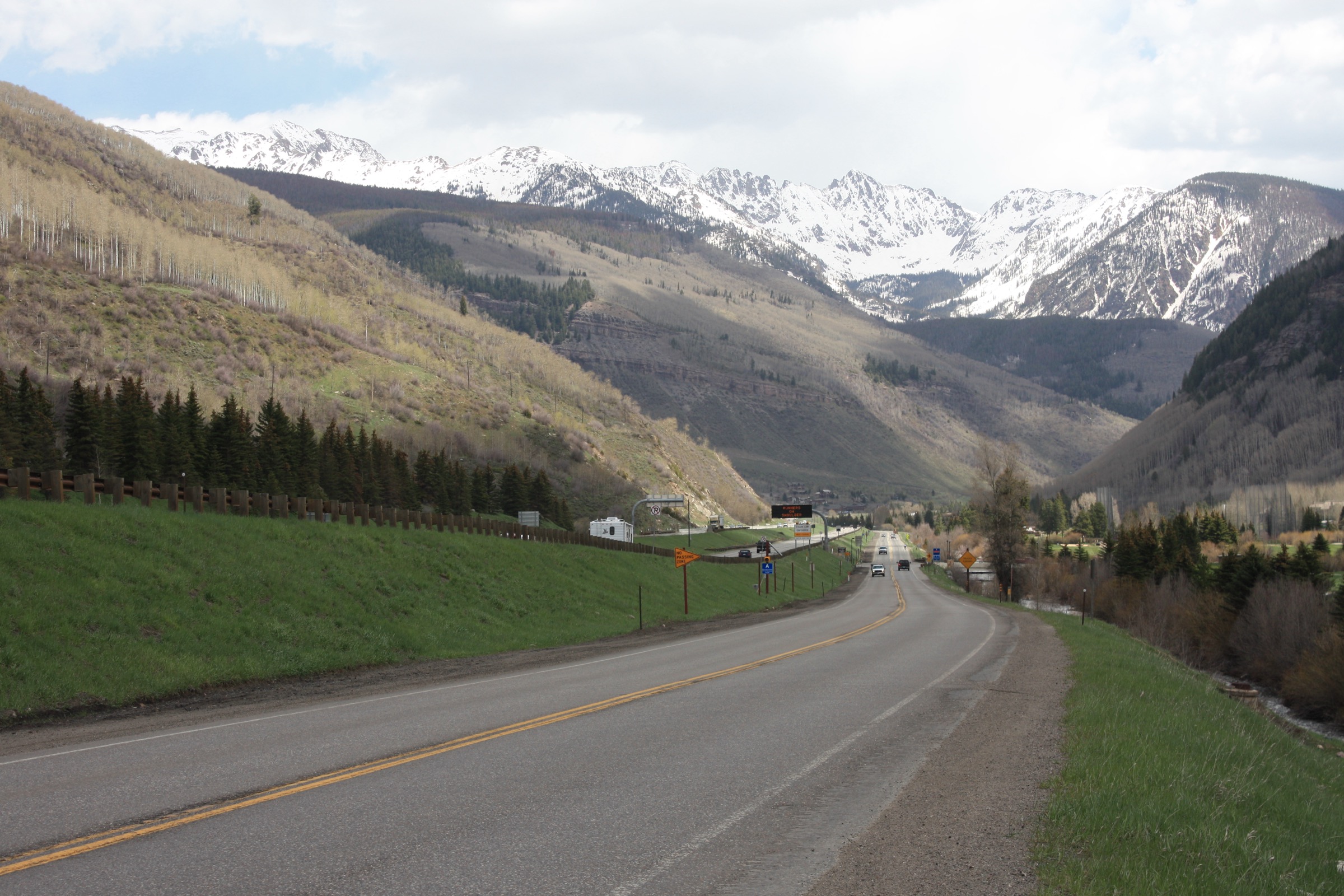
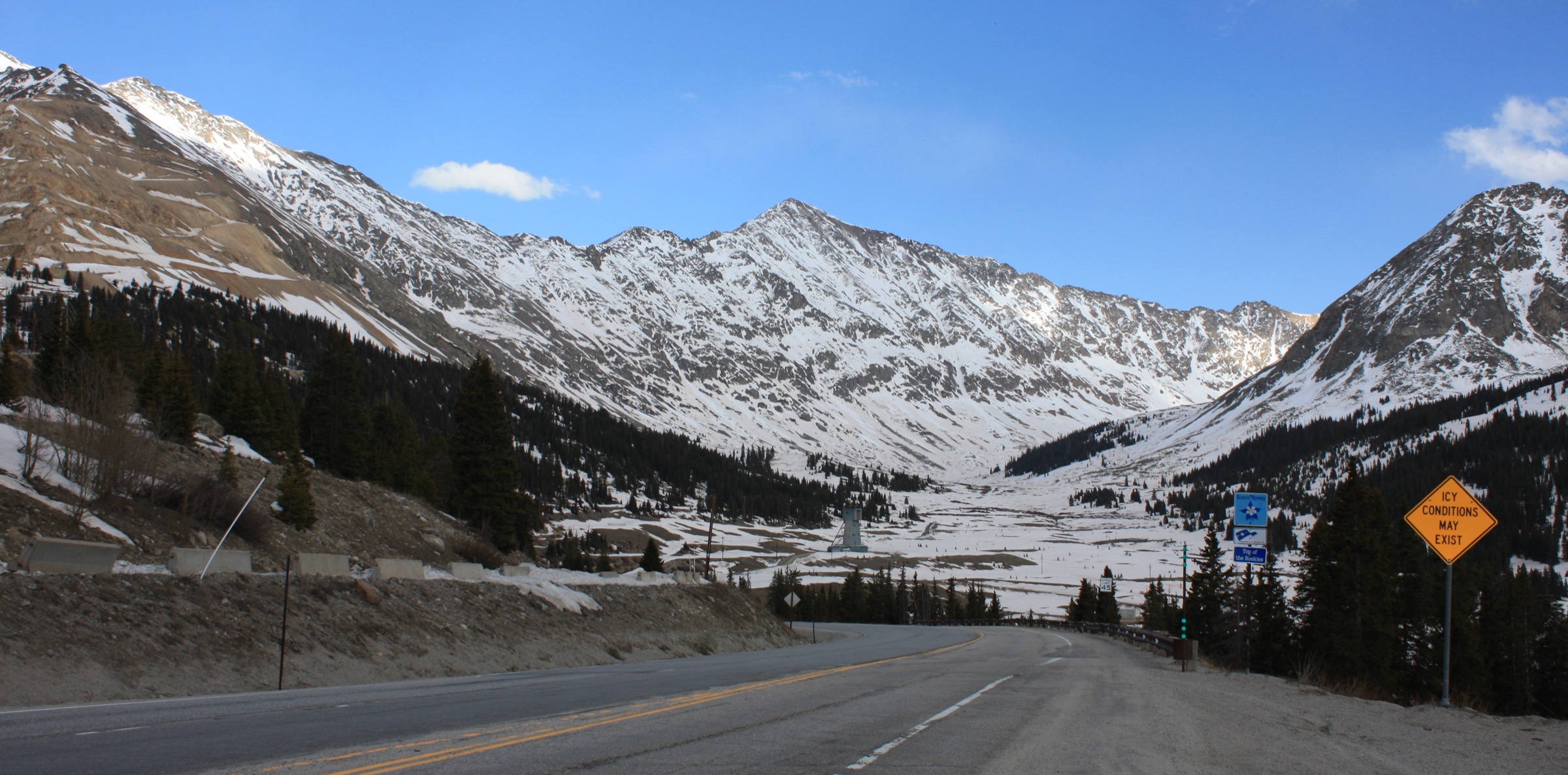
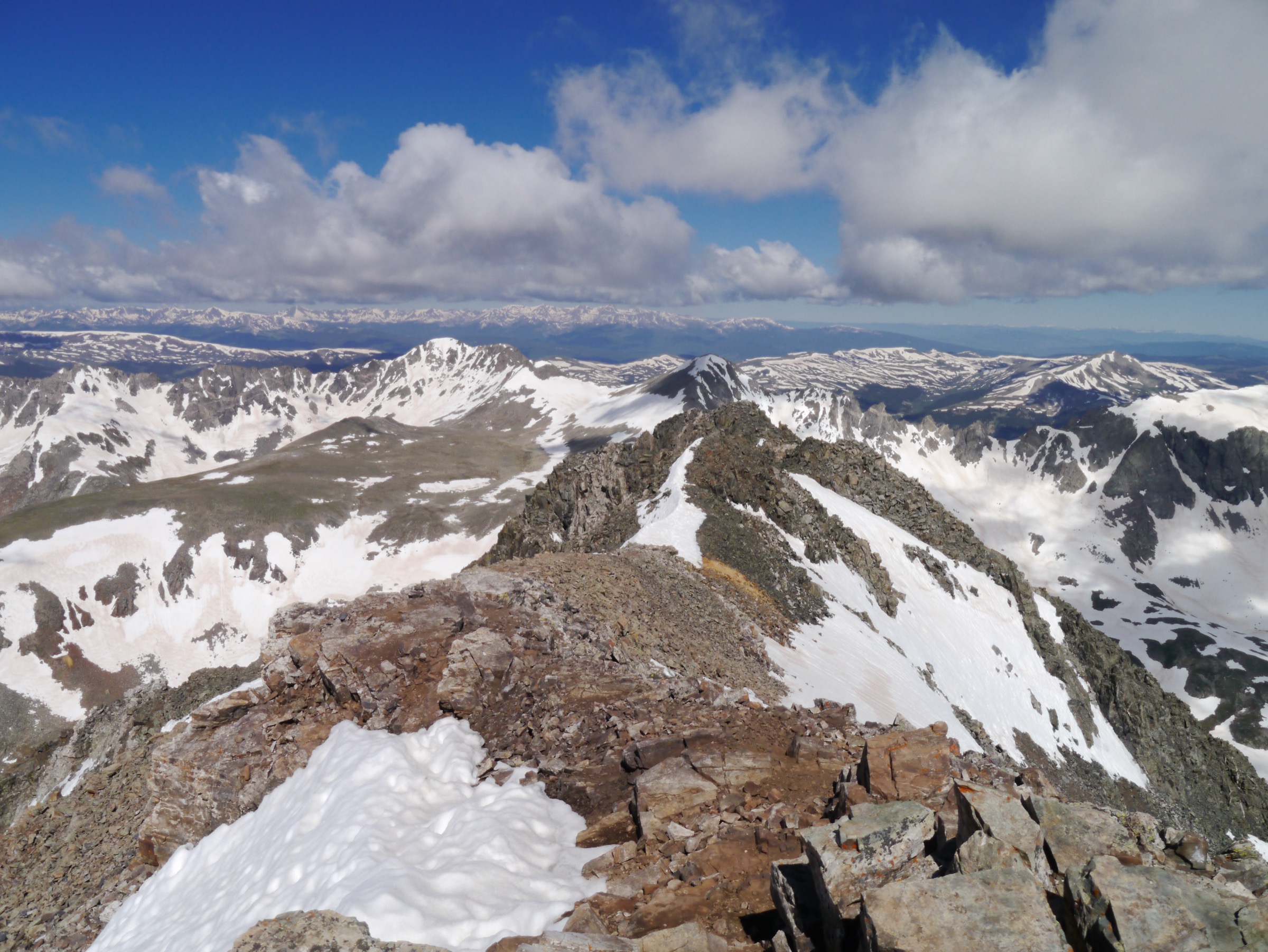
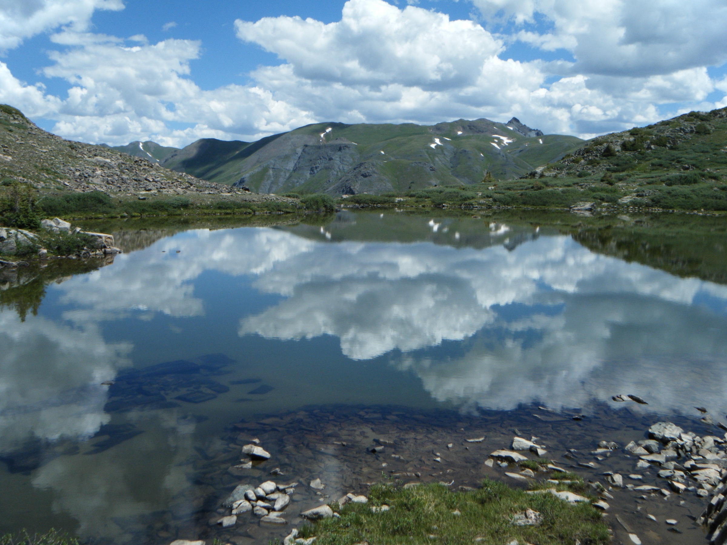
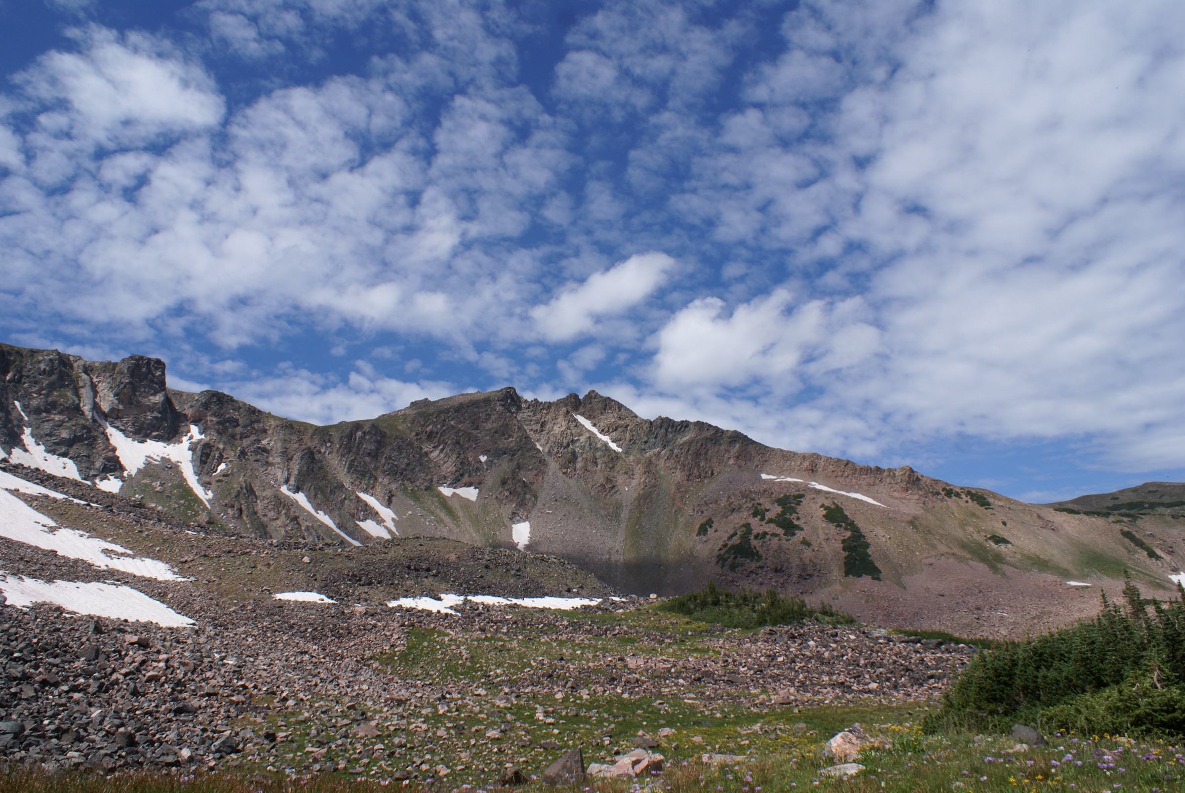
The Park Range is the north–south spine of the northern Colorado Rockies that carries the Continental Divide from Rabbit Ears Pass, east of Steamboat Springs, north across the Wyoming state line into the Sierra Madre Range. The range separates the North Platte drainage of North Park on its east side from the Yampa and Elk River drainages on its west, and culminates at Mount Zirkel (3,714 m) on the divide roughly 42 km north-north-east of Steamboat. The bedrock is largely Precambrian granitic gneiss with intrusive plutons, glacially reworked into cirques and paternoster-lake basins between about 2,900 and 3,400 m — the reason the wilderness carries around seventy named lakes despite its modest overall footprint. Nearly all of the high country is protected inside the Mount Zirkel Wilderness (647 km², designated 1964), managed by the Hahns Peak / Bears Ears Ranger District of the Medicine Bow–Routt National Forests.
Landscape character is subalpine spruce–fir and lodgepole forest below roughly 3,100 m, willow meadow and lake basin between 3,000 and 3,400 m, and rocky alpine tundra on the ridgelines. Two catastrophic disturbance events shape the modern forest and, indirectly, the modern walking experience. On 25 October 1997 the Routt Divide Blowdown — the largest recorded blowdown in the Rocky Mountains — flattened around 5,300 ha of spruce–fir on the west flank of the range, with a further 3,100 ha inside the wilderness. Five years later the Mount Zirkel Complex fires of 2002 (Hinman and Burn Ridge, ~12,550 ha combined) burned partly through the blown-down fuel. Long stretches of the Wyoming Trail (Trail #1101, locally the Continental Divide Trail spine north of Rabbit Ears Pass), the Grizzly–Helena Trail, and the Buffalo Pass approaches still show blowdown fields, standing snags and reworked tread; local crews re-cut sections annually and travellers should expect the odd trail detour.
Main hiking centres are Steamboat Springs (US 40, elevation ~2,050 m, the county seat and gateway town), Clark and Glen Eden on Routt CR 129 for the Slavonia trailhead, and Columbine and Hahns Peak Village for the range’s north-west outliers. Two roads cross the divide: US 40 over Rabbit Ears Pass (2,873 m) is plowed year-round, and Routt CR 38 / FSR 60 over Buffalo Pass (~3,145 m) is a gravel summer route that usually opens in late June. Seedhouse Road (FSR 400) to the Slavonia trailhead is gravel and typically passable to standard cars from mid-June once snow clears; FSR 490 to Hahns Peak and FSR 291 on Rabbit Ears Pass open on the same snowmelt-dependent schedule.
The best hiking is mid-July to late September. Snow lingers on north aspects into July in most years, and a normal Zirkel Circle traveller in June will encounter kilometres of unbroken postholing. Afternoon convective storms are typical from mid-July through August — plan alpine sections for the morning. Moose are widespread throughout the range’s willow flats along the Elk River, Fish Creek and the Rabbit Ears Pass lakes; give any moose a minimum clearance of 25 m and expect cows with calves to be aggressive toward dogs. Black bears are present throughout the district; grizzly bears are not.
Access is from Denver International Airport in around 3.5 h via I-70 west to Silverthorne and US 40 north-west over Rabbit Ears Pass to Steamboat, or from Yampa Valley Regional Airport (Hayden) in around 40 minutes. Steamboat Springs Transit runs a bus network within the town, but there is no public transport to any trailhead in this catalogue — every hike below assumes a private vehicle. For neighbouring sub-regions of the Colorado Rockies, see the Tenmile Range above Breckenridge on the same greater Mosquito–Tenmile–Gore–Park system, Rocky Mountain National Park on the Front Range divide to the east, and Mount Elbert and the Leadville Sawatch for the higher summits further south.
See also: Tenmile Range, Colorado day-hikes (Quandary, McCullough Gulch, Peak 1) · Mosquito Range, Colorado day-hikes.
Selection rationale
Five day-hikes are presented across the principal access lines of the Park Range and the Steamboat gateway. Two routes leave the Slavonia Trailhead at the end of Seedhouse Road — the range’s canonical alpine access — and give both the signature loop and the shorter cirque alternative: the Zirkel Circle for the linked Gilpin and Gold Creek lake basins with a divide-view pass, and Mica Lake for the walled Big Agnes / Little Agnes basin at the head of Mica Basin. Rabbit Ears Peak covers the southern-boundary landmark from the US 40 corridor with a short summit walk to twin volcanic plugs. Fish Creek Falls to Long Lake covers Steamboat’s urban trailhead as a scalable route from a fifteen-minute overlook to a full day on the Continental Divide. Hahns Peak Summit — geographically in the Elkhead Mountains rather than the Park Range proper — is included as the region’s distinctive conical outlier and the visitor “essential” short summit, with a restored 1912 fire lookout and the widest low-effort panorama on the Steamboat side.
The set is built around trailhead location and character rather than length alone: two big alpine days from Slavonia, one short landmark peak on the south, one urban-adjacent waterfall corridor with a wilderness extension, and one lookout summit on the north-west. Together they cover both signature Slavonia lines, the Rabbit Ears south end, the Steamboat town-side, and the Hahns Peak Village outlier.
Summary
| # | Hike | Trailhead | Route type | Distance | Gain | Max elevation | Difficulty |
|---|---|---|---|---|---|---|---|
| 1 | Zirkel Circle (Gilpin Lake – Gold Creek Lake Loop) | Slavonia | Loop | 16.8 km | 720–820 m | 3,281 m | Strenuous |
| 2 | Mica Lake from Slavonia | Slavonia | Out-and-back | 12.2–14.0 km | 610–650 m | 3,180 m | Strenuous |
| 3 | Rabbit Ears Peak | FSR 291 (Dumont Lake area) | Out-and-back | 8.4–8.9 km | 250–320 m | 3,247 m (base) / 3,290 m (plug) | Easy to base, Class 3 to summit |
| 4 | Fish Creek Falls to Upper Falls and Long Lake | Fish Creek Falls | Out-and-back | 0.8 / 8.0 / 19–21 km | 60 / 490 / 1,000 m | 3,200 m | Easy / moderate / strenuous |
| 5 | Hahns Peak Summit | Hahns Peak (FSR 490) | Out-and-back | 6.1 km | 420–670 m | 3,304 m | Moderate–strenuous |
1. Zirkel Circle (Gilpin Lake – Gold Creek Lake Loop)
Snapshot
Itinerary
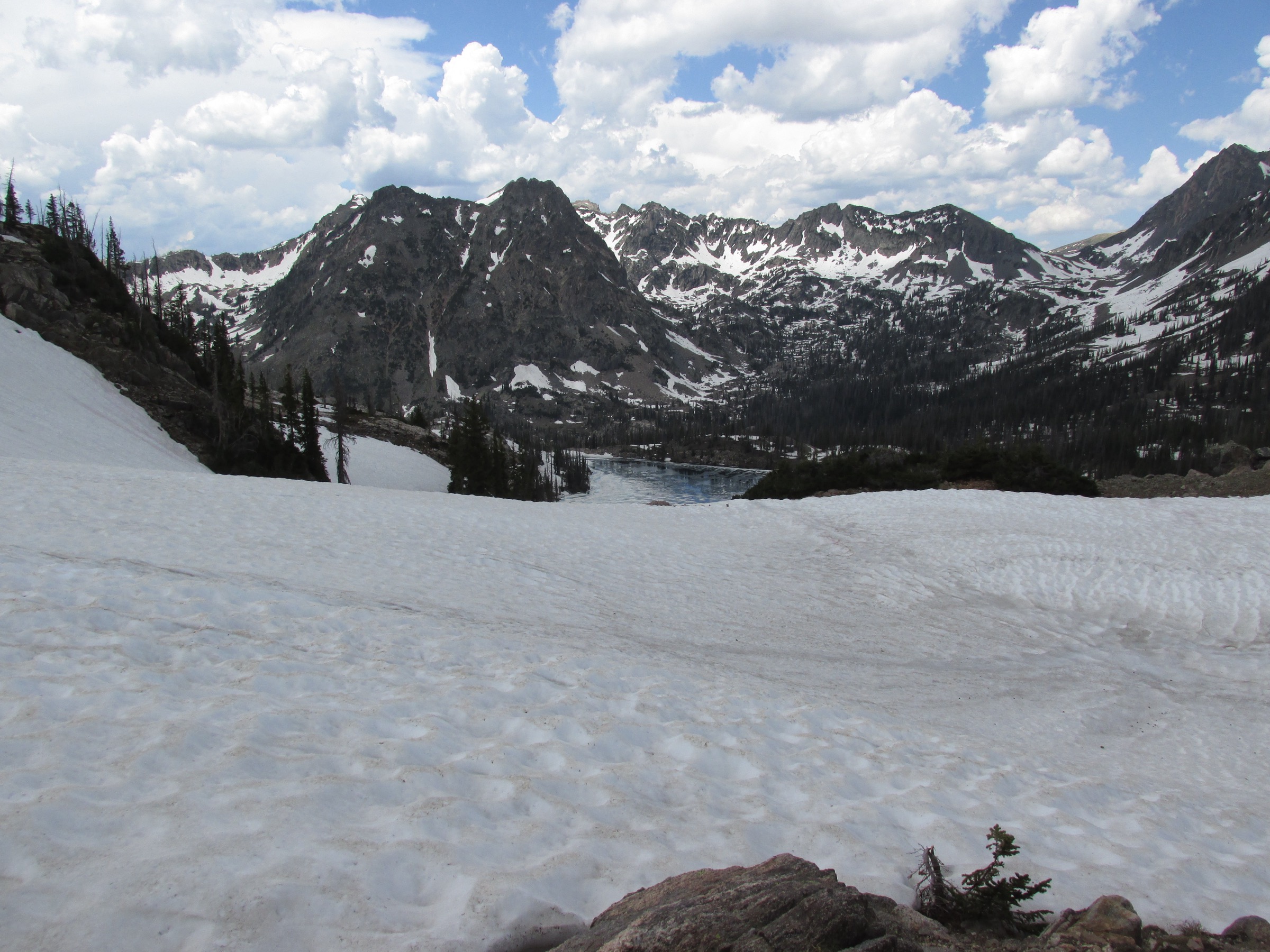
From the Slavonia Trailhead at the end of Seedhouse Road, the route follows the Gilpin Lake Trail (#1161) up the Gilpin Creek drainage. About 400 m from the trailhead the trail crosses Gold Creek on a footbridge; a signed junction with the Gold Creek Lake Trail (#1150) follows shortly after, and most parties hike the loop counter-clockwise, staying on #1161. The Mount Zirkel Wilderness boundary sign is reached near 1.5 km, and the trail then works north-east through spruce–fir forest and open willow meadows for a further 5.5 km to Gilpin Lake (~3,150 m) — a paternoster basin set below the ridge of Little Agnes and Mount Zirkel, and often held under ice into early July.
From Gilpin Lake the trail climbs steeply south-east through tundra to an unnamed pass at ~3,281 m, the high point of the loop and the traditional lunch stop. It then descends past ponds and rock benches into the Gold Creek drainage, reaching Gold Creek Lake (~2,935 m) in a broad meadow-and-cirque basin about 5 km below the pass. The lower Gold Creek Lake Trail #1150 returns to Slavonia through spruce forest, the last 4 km almost entirely downhill along Gold Creek. Total loop length is quoted between 9.8 and 10.9 miles depending on source — the USFS trailhead page describes it as “10.9-mile,” Hiking Project measures 10.4 mi, and Colorado Mountain Club sources give the low end.
Why it is essential
The Zirkel Circle is the range’s signature loop and the most widely recommended day itinerary from Steamboat, cited by the Forest Service, the Colorado Mountain Club and every regional guidebook. It combines the two most-photographed alpine lakes in the wilderness, a high pass with a clean sightline down both the Gilpin and Gold Creek drainages, and a wildflower meadow section that ranks among the finest in northern Colorado in mid-July to early August. Very few wilderness loops of this length reach two named subalpine lakes and a divide-view pass inside a single day.
Equipment
- Sturdy boots — rocky, occasionally wet tread and blowdown crossings on trail edges
- Trekking poles for the pass descent
- Warm and weatherproof layers for the alpine section
- 2.5–3.5 L water with a treatment plan; streams are reliable
- Sun protection and mosquito repellent — midge and mosquito pressure is heavy near the lakes in July and early August
- Bear-aware food handling; black bears are present
- Offline map or GPS backup — the loop is signed but multiple side trails leave it
Hazards and notes
- Mount Zirkel Wilderness rules apply throughout: no motorised or mechanised transport (no bikes), no drones, and no camping or fires within 30 m of any lake, stream or trail. A ¼-mile (400 m) camping setback applies specifically at Gilpin Lake, Gold Creek Lake and Three Island Lake.
- Dogs are allowed under voice control.
- Afternoon thunderstorms are frequent from mid-July onward — plan to be off the pass by early afternoon; lightning exposure on the alpine section is significant.
- Snow lingers on the north side of the pass into early July in normal years; microspikes may be needed for early-season attempts.
- Blowdown crews have re-cut this loop repeatedly since 1997 and expect occasional detours around fallen trees.
- Seedhouse Road (FSR 400) is gravel from Clark and typically opens fully by mid-June once snowdrifts clear.
- Moose are common on the lower Gilpin Creek willow flats — give any animal at least 25 m and turn back if a cow shows attention to your dog.
2. Mica Lake from Slavonia
Snapshot
Itinerary
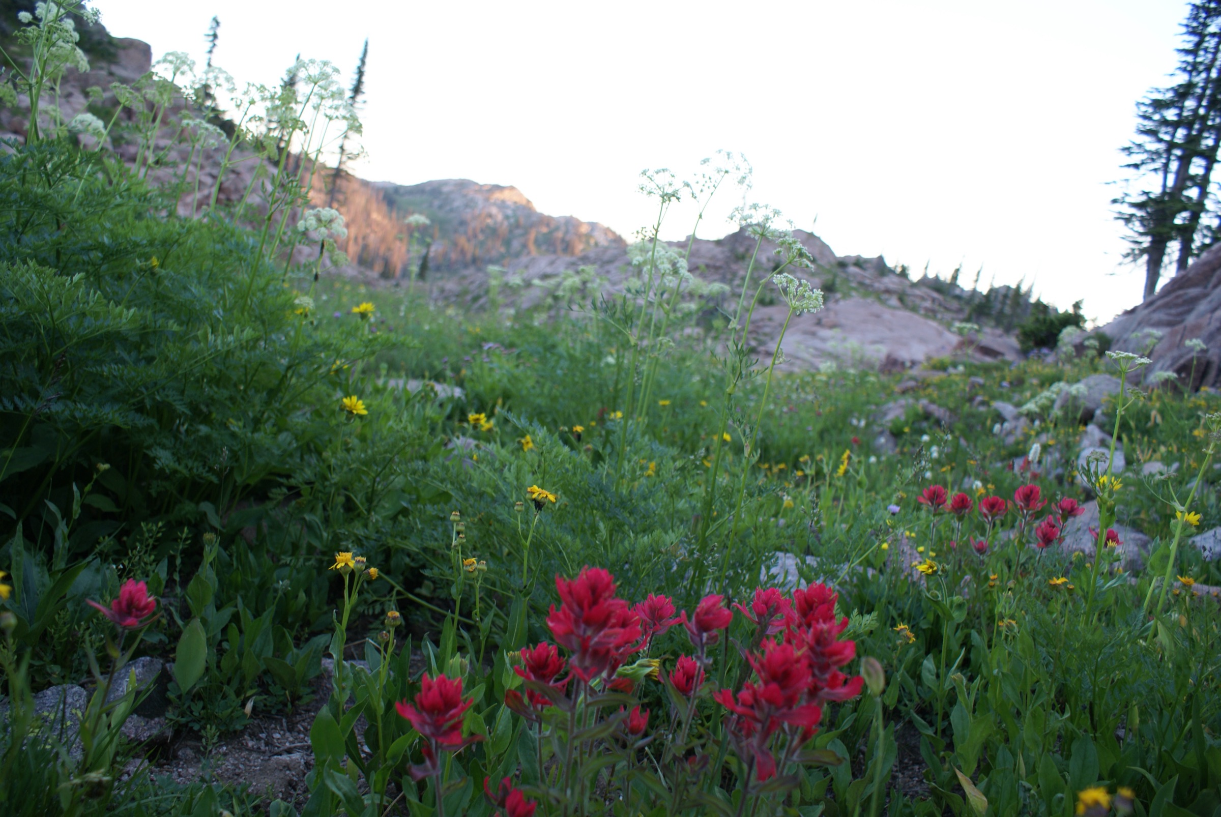
From the Slavonia Trailhead the route follows the Gilpin Lake Trail (#1161) north-east for approximately 2.4 km, crossing Gold Creek and passing the Gold Creek Lake trail junction and the Mount Zirkel Wilderness sign. Shortly after entering the wilderness, a signed left-hand junction leads onto the Mica Basin Trail (#1162). The trail climbs steadily through spruce–fir forest, then breaks into open willow flats and wildflower meadows below the north face of Little Agnes Mountain. A steeper switchback section leads into the Mica Basin cirque, and the trail ends at Mica Lake (~3,180 m) against the base of Little Agnes and Big Agnes Mountain (3,754 m) — a walled quartzite-and-schist basin that is arguably the most rugged single landscape in the wilderness. Strong parties often continue cross-country a short distance further into the upper basin toward Lake of the Crags or the foot of Big Agnes; this is off-trail and adds distance and gain not included above.
Why it is essential
Mica Lake is the shorter but no less dramatic alternative from Slavonia. It provides direct access into the Big Agnes / Little Agnes cirque in a single day and gives a very different feel to the Zirkel Circle — a walled inner-basin experience rather than the open Gilpin–Gold Creek traverse. It is regularly cited alongside the Circle in Steamboat-area coverage and gives fit walkers a clean summit-of-the-basin destination without the pass crossing.
Equipment
- Sturdy boots
- Trekking poles for the switchback climb into the basin
- Warm and weatherproof layers
- 2.5–3 L water with a treatment plan
- Mosquito protection in July and early August
- Bear-aware food handling
- Offline map — the junction to Mica Basin Trail #1162 is signed but easy to miss on the return
Hazards and notes
- Mount Zirkel Wilderness rules as for the Zirkel Circle — no motorised or mechanised transport, no drones, no camping within 30 m of lakes, streams or trails. Mica Lake itself carries the general 30 m setback rather than the ¼-mile rule that applies to Gilpin and Gold Creek.
- Dogs are allowed under voice control.
- The Mica Basin trail passes areas of blowdown regrowth; downed timber has been re-cut but the tread can be rough.
- Afternoon thunderstorms are the main hazard on the upper switchbacks and in the cirque.
- Ice can persist on Mica Lake into July.
- Seedhouse Road access is the same as for the Zirkel Circle — gravel, standard cars usually fine from mid-June.
3. Rabbit Ears Peak
Snapshot
Itinerary
From US 40 east of the Rabbit Ears Pass summit, turn north at the sign for Dumont Lake Campground onto FSR 315. Continue past the campground to the old stone monument at the historic Rabbit Ears Pass marker and, from there, follow the rougher FSR 291 (Grizzly Creek Road) north for a short distance to the informal trailhead. Passenger cars can normally reach the Dumont Lake area; the last section of FSR 291 favours higher-clearance vehicles.
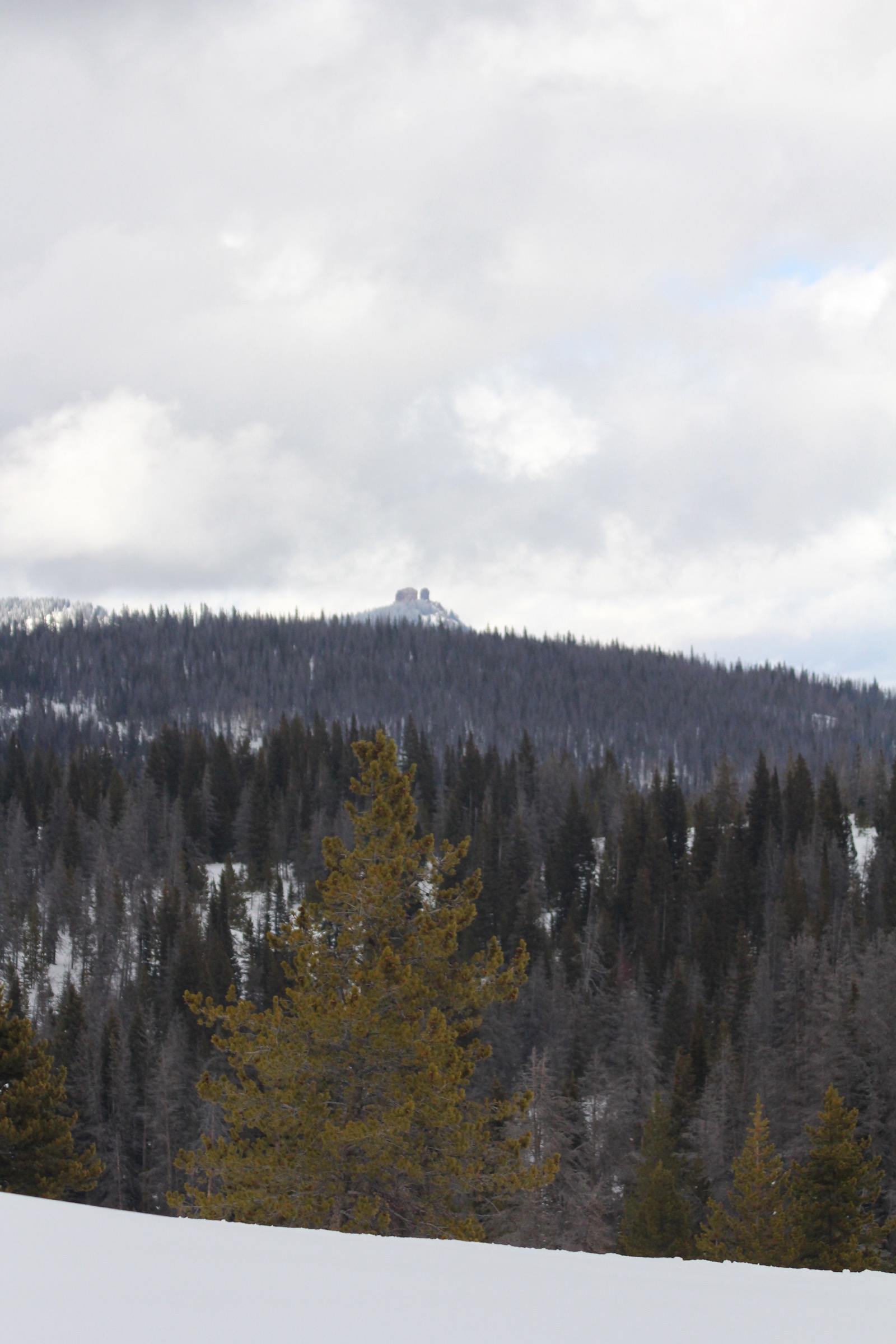
The route follows the old jeep track of FSR 291 across open sagebrush and wildflower meadows, with early views of the twin volcanic plugs on the skyline ahead. The track rolls gently through mixed lodgepole–spruce parkland, gaining elevation gradually. After about 3.5 km the track steepens noticeably; the last 400 m before the base of the plugs is a much steeper unswitchbacked climb up loose rock. At the base of the plugs — the point most walkers turn around — the view opens south across the Gore and Never Summer ranges and north into the Park Range proper. The final “true summit” of the eastern plug is a short Class 3 scramble of around 30 m on loose volcanic breccia and tuff; it is regularly climbed but is exposed and the rock is famously friable — a section of the western plug collapsed in 2017. The scramble is not recommended in wet or windy conditions.
Why it is essential
Rabbit Ears Peak is the visual landmark of the southern Park Range and one of the most recognisable roadside features on any Colorado highway crossing. The trail is the natural short introduction to the range from the Rabbit Ears Pass corridor and, apart from Fish Creek Falls, is the region’s principal short-day-hike option; Steamboat Chamber, Uncover Colorado and every regional guide consistently place it on lists of essential Steamboat-area walks.
Equipment
- Standard hiking equipment for the walk to the base
- If attempting the summit scramble: sturdy boots with good grip and a helmet for the loose-rock section
- Warm and weatherproof layers — the base of the plugs is exposed
- 2 L water; no reliable resupply on the route
- Sun protection
- Do not force the scramble in wet or high wind
Hazards and notes
- The rock forming the twin plugs is structurally weak volcanic breccia and tuff and continues to erode; a large section of the western plug collapsed in 2017, and rockfall is a hazard for anyone standing directly below the plugs.
- Frequent afternoon thunderstorms in July and August make the exposed summit lightning-prone.
- The approach jeep track is shared with OHV traffic and mountain bikers.
- No permit is required; standard Routt National Forest rules apply.
- Dogs are allowed; leash is not required by USFS on this route but voice control is expected.
- FSR 291 opens on a snowmelt-dependent schedule; confirm current status with the Hahns Peak / Bears Ears Ranger District before travel.
4. Fish Creek Falls to Upper Falls and Long Lake
Snapshot
Itinerary
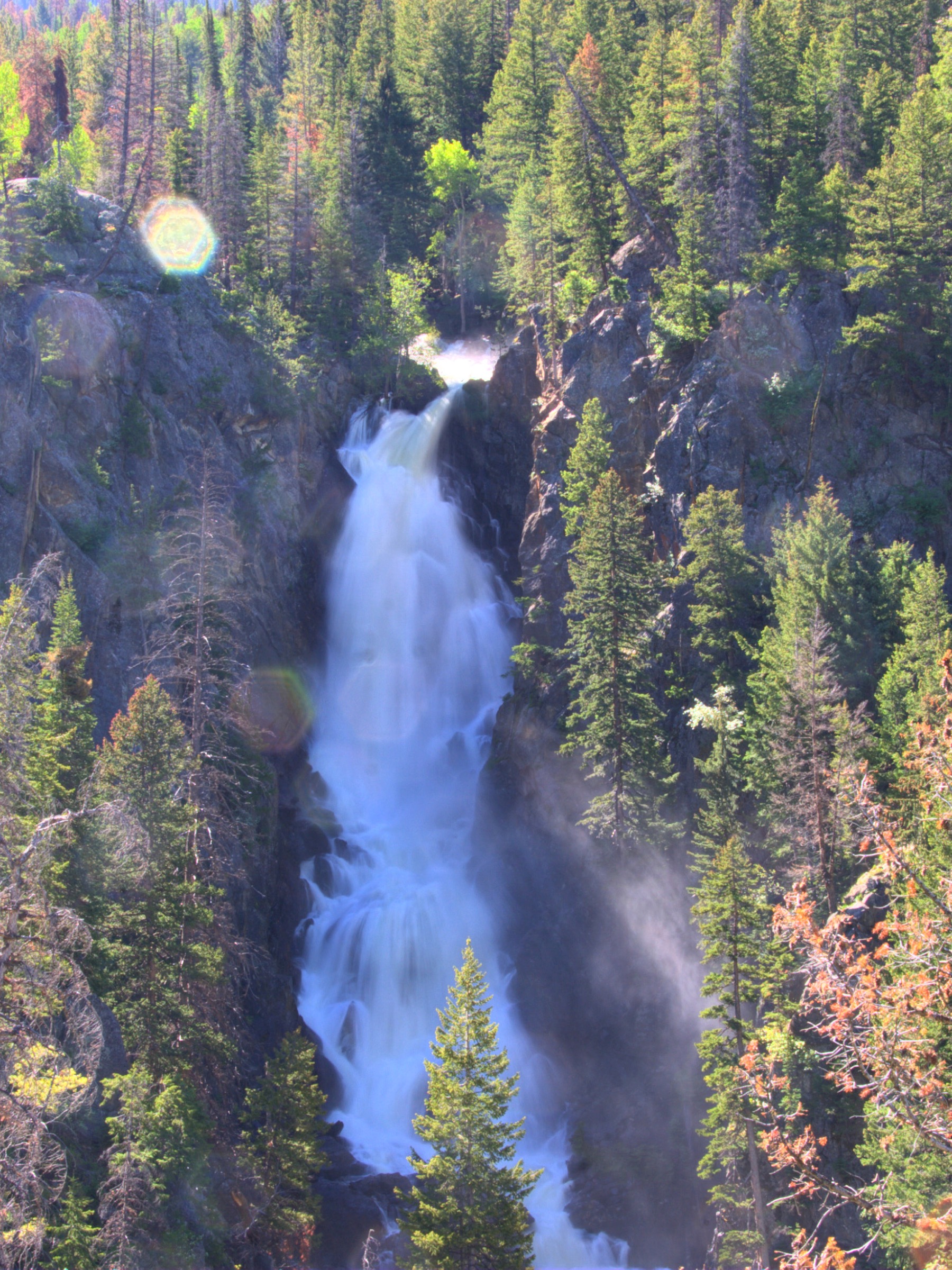
From the trailhead a paved wheelchair-accessible overlook path leads a few hundred metres to a viewing platform above the 85 m main drop of Fish Creek Falls. The standard Fish Creek National Recreation Trail (#1102) drops on a stepped gravel and dirt path around 60 m in about 400 m to the historic Fish Creek Falls bridge at the base of the lower falls — the point most casual visitors turn around. From the bridge, Trail #1102 climbs steeply through Douglas-fir and aspen, then follows the north side of the Fish Creek valley up a hanging-valley step. At approximately 3.7–4.0 km from the trailhead, a signed short spur leads to the Upper Fish Creek Falls, a rocky-cleft cascade of around 6–9 m into a small pool. Beyond, Trail #1102 continues gradually up Fish Creek Valley into the Mount Zirkel Wilderness, ending at Long Lake (~3,200 m) at a junction with the Wyoming Trail (Trail #1101, the Continental Divide National Scenic Trail). The Steamboat Chamber gives 6.5 mi (10.5 km) from the base of the falls to Long Lake — approximately 12 mi (19 km) round trip from the trailhead, which matches most third-party sources. Long Lake is best done as an early start and long day; the Long Lake extension is also the through-hikers’ link from the town onto the CDT and, as a strenuous day, gives an unbroken low-to-alpine profile of the Park Range front.
Why it is essential
Fish Creek Falls is Steamboat’s iconic waterfall and the single most-visited outdoor feature on the range front. The overlook alone is a mandatory short stop; the upper falls extension is the town’s classic half-day hike; and the Long Lake finish gives the range’s most accessible route onto the Continental Divide Trail, without needing to drive one of the gravel Forest Service roads to reach a wilderness edge.
Equipment
- Overlook and lower falls: standard hiking shoes; a paved path is available to the overlook
- Upper falls: mountain hiking equipment, sturdy shoes
- Long Lake: full mountain hiking equipment, headtorch for a late finish, extra water and food, wilderness rules briefing if extending beyond the falls, insect repellent
Hazards and notes
- The trailhead charges a US$5 vehicle day-use fee (cash or check) and is open 06:00–22:00.
- Dogs must be on a leash.
- Moose are regularly present in the willow flats along Fish Creek — do not approach, keep dogs leashed and short, and give at least 25 m.
- Steep, wet steps around the lower falls are slippery in spring runoff; a lower-trail spur has washed and rerouted several times.
- The Mount Zirkel Wilderness boundary is crossed en route to Long Lake — wilderness rules apply beyond (no bikes, no drones, camping setbacks).
- Winter snowshoeing on the lower trail is popular; the upper trail is not maintained for winter travel.
5. Hahns Peak Summit
Snapshot
Itinerary
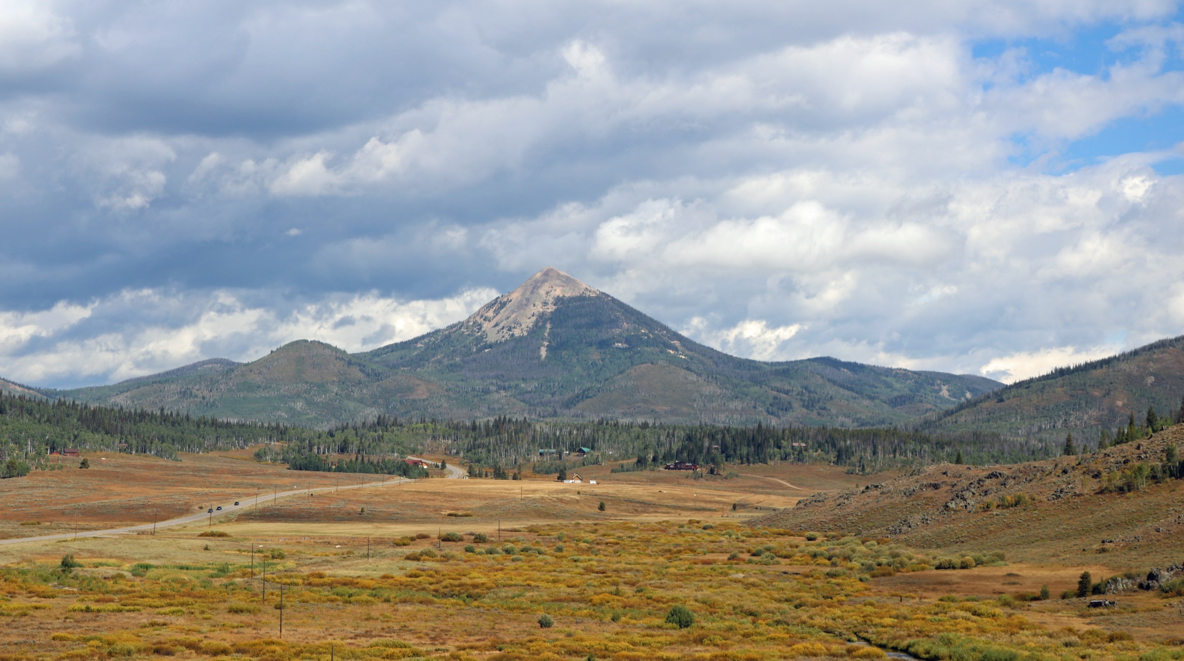
From the general store in Columbine on Routt CR 129 (Elk River Road), FSR 490 climbs east onto the mountain. After roughly 1.4 km stay left at the fork; a further 0.6 km leads to a second fork where left again reaches the trailhead parking area (some parties turn onto FSR 418 for the last 150 m to the lot). The trail begins on a gravel 4WD road, then transitions to singletrack in mixed lodgepole and aspen. The route climbs steadily through switchbacks, opening periodically to views west across Steamboat Lake toward the Sierra Madre. The upper section cuts through loose rhyolite scree with occasional iron staining; the last 0.5 km is a steep, cairned pitch up the summit cone.
The 1912 fire lookout tower on the summit was restored in 2016–17 and remains standing. The summit view spans the Park Range east (Mount Zirkel visible in clear conditions), the Flat Tops south, the Elkhead Mountains west, and the Wyoming plains north.
Why it is essential
Hahns Peak is the conical outlier north-west of Steamboat and, together with Rabbit Ears Peak, the most recognisable skyline landmark of the Steamboat–Elk River basin. Although geographically in the Elkhead Mountains rather than the Park Range proper, it is universally treated as a Steamboat-area essential and is the range’s short-summit walk for a full 360-degree panorama. The restored fire lookout gives the walk historical resonance from the district’s late-1800s gold-mining era.
Equipment
- Sturdy shoes with good grip for loose scree on the summit cone
- Trekking poles helpful for the descent
- Warm and weatherproof layers — the summit is fully exposed
- Extra water; there is no reliable water on the route
- Sun protection
Hazards and notes
- The summit is fully exposed and above tree-line — very dangerous in thunderstorms. Plan for a pre-dawn or early-morning start in July and August.
- The scree pitch to the summit demands care on descent; a slip can carry down steep, loose ground.
- FSR 490 crosses private property; stay on the road and respect posted “no trespass” signs on adjacent parcels.
- Low-clearance vehicles may struggle to reach the trailhead in wet conditions.
- Dogs are allowed; no leash required by USFS but voice control is expected.
- No fee.
Routes excluded as out of scope
The following sit inside or adjacent to the Park Range and the Steamboat gateway but fall outside a day-hike entry, are too duplicative of the five above, or are better understood as overnights or trips of a different character.
- Mount Zirkel itself. The range’s namesake summit is a long day even from Slavonia — most parties treat it as an overnight from a Gilpin, Gold Creek or Red Dirt Pass camp — and is deliberately not included here as a standalone day route.
- Big Creek Falls and Big Creek Lakes. A strong lake-and-waterfall corridor at the far north-west of the district, but the long access drive to the Colorado–Wyoming border makes it a better fit for a longer stay than a day trip from Steamboat.
- Buffalo Pass lakes (Percy Lake, Round Lake). The trails from Summit Lake and Buffalo Pass are enjoyable but are duplicative of the Zirkel Circle for a day-hike audience once the pass is open.
- Wyoming Trail / CDT day sections beyond the ones chosen. The Trail #1101 spine from Buffalo Pass north through the wilderness is a canonical thru-hike stage but does not yield a strong self-contained day-hike outside the sections already reached from Zirkel Circle, Fish Creek and Rabbit Ears Pass.
- Flat Tops and Devil’s Causeway. The Flat Tops Wilderness south-west of Steamboat is a separate range with its own catalogue entry — it is noted here because visitors sometimes expect it under a “Steamboat” heading, but it is not part of the Park Range.
Further reading
| Source | URL |
|---|---|
| USFS Medicine Bow–Routt NF — Mount Zirkel Wilderness | fs.usda.gov |
| USFS Medicine Bow–Routt NF — Slavonia Trailhead (Trails #1150/1161/1162) | fs.usda.gov |
| USFS Medicine Bow–Routt NF — Fish Creek Falls Trailhead (Trail #1102) | fs.usda.gov |
| USFS Medicine Bow–Routt NF — Hahns Peak Trailhead (Trail #1158) | fs.usda.gov |
| USFS Medicine Bow–Routt NF — Rabbit Ears Trail (Road 291) | fs.usda.gov |
| Wilderness Connect — Mount Zirkel Wilderness | wilderness.net |
| Colorado Mountain Club — Zirkel Circle via Slavonia | cmc.org |
| Continental Divide Trail Coalition — Steamboat Springs | cdtcoalition.org |
| Steamboat Springs Chamber — Fish Creek Falls Hiking Trail | steamboatchamber.com |
| Hiking Project — Zirkel Circle | hikingproject.com |
| Hiking Project — Rabbit Ears Peak | hikingproject.com |
| Hiking Project — Hahns Peak Trail | hikingproject.com |
| USDA Forest Service — Routt Divide Blowdown (1997) supplemental information | fs.usda.gov |
| NASA Earth Observatory — Mt. Zirkel Complex fire (2002) | earthobservatory.nasa.gov |
| Wikipedia — Park Range (Colorado) | en.wikipedia.org |
| Wikipedia — Mount Zirkel | en.wikipedia.org |
| Wikipedia — Rabbit Ears Pass | en.wikipedia.org |
| Wikipedia — Hahns Peak | en.wikipedia.org |
| OpenStreetMap (ODbL 1.0) | openstreetmap.org |